Amerongen, Netherlands
18 memories from Amerongen, Netherlands
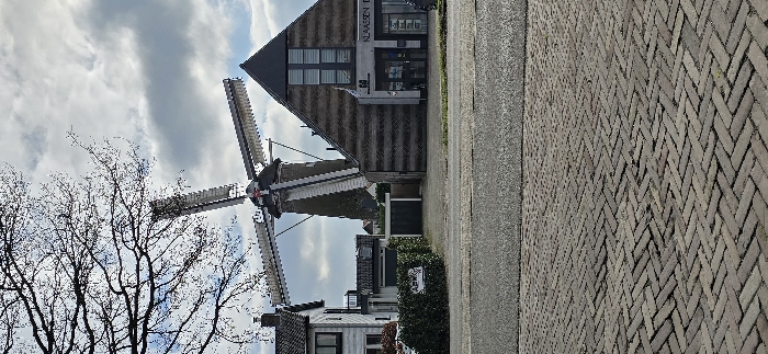
The image shows a windmill in Amerongen, Netherlands, located at 52.001 latitude and 5.456 longitude. The windmill is partially obscured by a building to the right. The building is made of wood and has a sign that reads "Klaassen De." The building is located on a cobblestone street. A tree with bare branches is in the foreground. The sky is overcast with light gray clouds. The windmill's blades are not turning.
Amerongen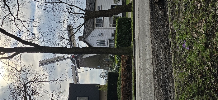
The image shows a windmill in the distance, viewed from a street in Amerongen, Netherlands. The street is paved with grey asphalt. A large tree trunk blocks the view of the windmill, but the windmill blades are visible. The tree trunk is in the foreground, and the windmill is in the background. The windmill is white with grey, and the blades are grey. There are several houses along the street, all with white facades and white window frames. There are no people visible in the image. The houses have green hedges. Purple flowers are visible on the edge of the right-hand side of the image. There is a cloudy sky above, with the sun peeking through the clouds. The image was taken in Amerongen, Netherlands, at the coordinates latitude: 52.001, longitude: 5.457.
Amerongen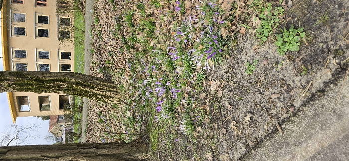
The image shows a patch of ground with a yellow building reflected in the trunk of a tree in the foreground. The building has multiple windows. The ground is covered in fallen leaves and a cluster of purple crocuses. There is also some green grass and clover growing on the ground. The location is in Amerongen, Netherlands, at the coordinates provided.
Amerongen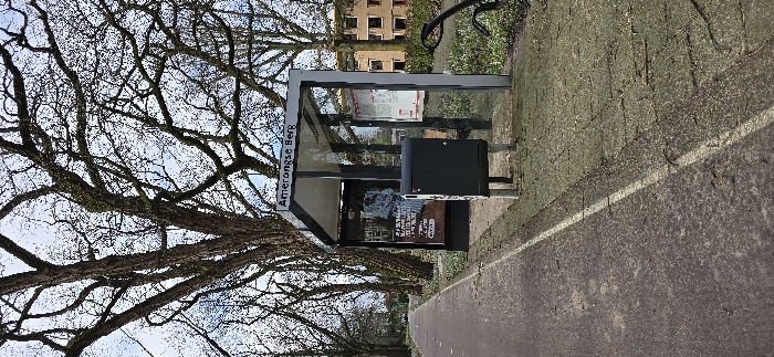
The image shows a bus stop in Amerongen, Netherlands. The bus stop has a sign that reads "Amerongse Berg". There is a gray trash can, a bus shelter, and a poster on the wall of the shelter. There is a white line painted on the ground, and the ground is covered in gravel. The bus stop is in a location with a lot of trees and bushes. The sky is blue and the weather is clear. The scene is empty of people. The image was taken from a low angle, looking up at the bus stop. The coordinates provided suggest that the image was taken near the Amerongse Berg, a hill in Amerongen, Netherlands.
Amerongen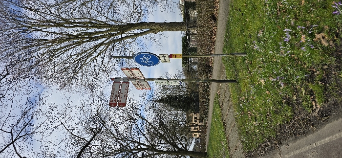
The image shows a street in Amerongen, Netherlands, with a tree on the left and a grassy area on the right. There are four signs attached to a pole. The top sign is blue and circular with a bicycle symbol, the second sign is rectangular and yellow, and the bottom two signs are rectangular and red. The tree is bare with branches reaching towards the sky. There are purple flowers growing on the grass. The street appears to be a paved path. The ground is covered with brown leaves. The time of day appears to be midday. The image is captured from a low angle, facing upwards. The street appears to be a rural road. The location in Amerongen, Netherlands is identified by the coordinates, latitude 52 and longitude 5.466. There are no people in the image.
Amerongen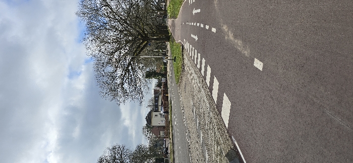
The image shows a paved road with white markings in Amerongen, Netherlands, at the coordinates 52° N, 5.467° E. The road is empty of vehicles and people. A row of trees line the left side of the road. There are white markings along the road, including arrows indicating the direction of travel. There is a building with a white facade visible in the distance on the left side of the road. The sky is cloudy.
Amerongen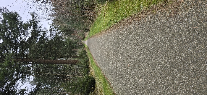
The image shows a straight gravel path leading into a dense forest, located in Amerongen, Netherlands, at coordinates 52.015° N, 5.496° E. The path is lined on both sides with trees and a small amount of green grass and vegetation. The trees are mostly deciduous and appear to be in the early stages of spring growth, with some trees still bare-branched. There are no people or animals visible in the image. The sky above the forest is clear and bright, with a few clouds visible. The image appears to have been taken during the day.
Amerongen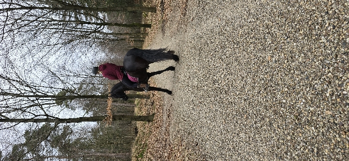
A person is riding a black horse on a gravel path. They are wearing a maroon jacket and riding helmet. The path is surrounded by bare trees, with leaves on the ground. The location is a forest near Amerongen, Netherlands, with coordinates 52.012, 5.486. The scene is illuminated by daylight.
Amerongen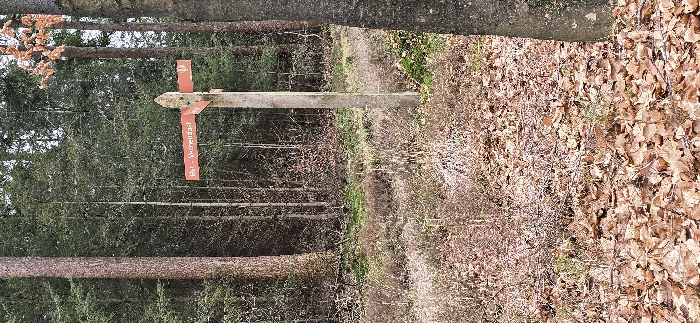
The image shows a wooden signpost with an orange sign in a forest. The sign reads “Bet-Werendel”. The signpost is located in a dense forest near a dirt path. The path is covered with fallen leaves. The forest is located in the city of Amerongen, Netherlands, at coordinates 52.012, 5.486. The sign is attached to the signpost with a nail. There are no people in the image. The signpost is made of wood and the sign is made of metal. The forest is green and the leaves are brown. The path is dirt.
Amerongen
The image shows a gravel path in a forest located in Amerongen, Netherlands. The path runs diagonally through the center of the frame from the bottom left corner to the top right corner. The path is covered in gravel and small stones, and there are fallen leaves scattered on either side of it. The path is surrounded by trees on either side, with their bare branches reaching up into the sky. The trees are casting shadows on the path. The path appears to be leading into a small clearing in the woods. There are no people or other objects visible in the image. The time of day is unclear, but the overcast sky suggests it may be late afternoon or early evening.
Amerongen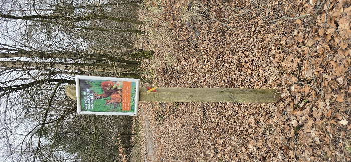
The image shows a wooden signpost with a white sign attached to it. The sign contains Dutch text and an illustration of two red deer. The sign is located in a forest in Amerongen, Netherlands, at coordinates 52.011 latitude and 5.484 longitude. The ground is covered in dry, brown leaves. The signpost is attached to a wooden post which is secured to a wooden plank that rests on the ground. The forest is visible in the background. The trees are bare-branched. The image was taken in the daytime. The weather is clear and sunny. The image is a close-up shot of the signpost and surrounding area. There are no people or animals in the image. The signpost is located on a forest path. The path is covered in leaves. There are trees on both sides of the path.
Amerongen
The image shows a gravel path extending into the distance, surrounded by trees on both sides. The path is located within a forest in Amerongen, Netherlands, at the coordinates 52.014 latitude and 5.481 longitude. The sky is overcast with a few clouds visible. The trees on the left side of the path are bare, while the trees on the right side are denser and have some green leaves. There are no people or objects visible in the image. The path is slightly curved and there are some small green patches of vegetation growing beside it.
Amerongen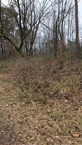
The video depicts a forest path on an overcast day. The path, composed of dirt and gravel, stretches into the distance. The landscape on either side is covered in dried grasses, brown leaves, and dense thickets. Tall, bare trees with intricate branching patterns fill the background. The sky is a dull gray, typical of an overcast day.
Amerongen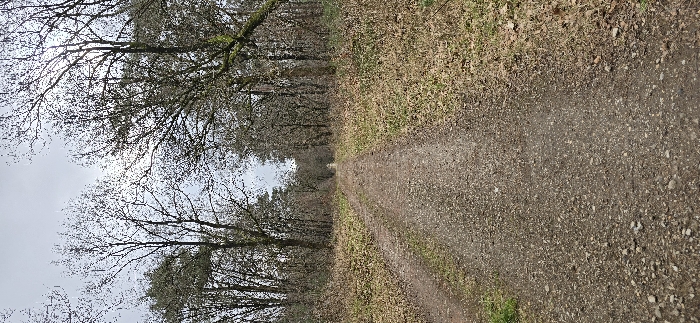
The image shows a dirt path lined with trees that are bare of leaves, likely taken in winter. The path leads up a hill into the distance, where it is less defined and fades into the trees. The trees on the left of the image are closer to the viewer and more visible, while the trees on the right are further away and more blurred. The ground is covered in a mixture of small rocks and dirt, and there is some grass growing along the sides of the path. The path is located in a wooded area, with a cloudy sky overhead. The coordinates of the image suggest that it was taken in Amerongen, Netherlands, a small town about 45 miles southeast of Amsterdam. The image is captured from a vertical perspective and appears to be taken on a still, sunny day.
Amerongen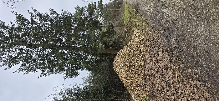
The image shows a large evergreen tree with thick branches and foliage, positioned in the foreground of the image. It partially obscures a pile of dead, brown leaves in the background. The leaves are densely packed, covering the ground and extending beyond the frame of the image. The background also includes a small patch of green grass and a dirt path, leading to a small, densely forested area. The image was taken in the village of Amerongen, in the Netherlands, located at the coordinates 52.018, 5.477.
Amerongen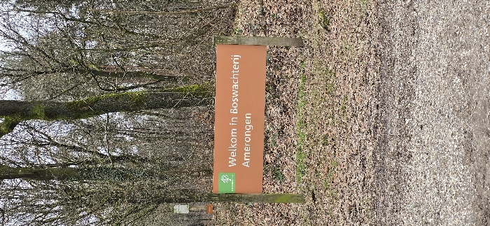
The image shows a signpost in a forest in Amerongen, Netherlands. The sign is an orange rectangular sign with white lettering and a small green logo. The sign reads "Welkom in Boswachterij Amerongen". The sign is mounted on a wooden post. The ground is covered in fallen leaves and twigs. The signpost is located in a wooded area with many bare trees and branches. The scene is quiet and peaceful. There are no people or animals visible. The coordinates provided place the image near the Amerongse Bos, a large wooded area in the municipality of Utrechtse Heuvelrug in the province of Utrecht, Netherlands.
Amerongen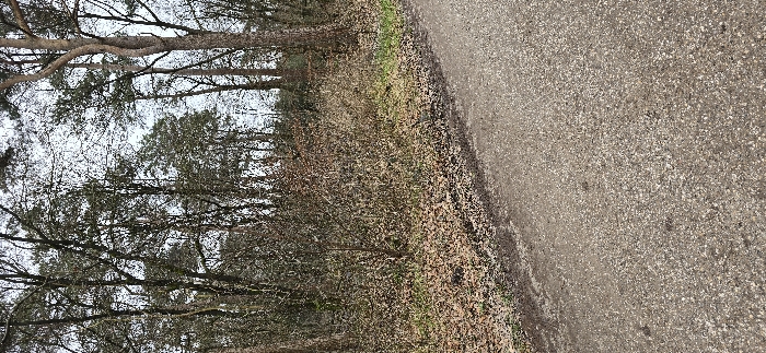
The image shows a forest path in Amerongen, Netherlands, located at 52.019 latitude, 5.476 longitude. The path is a gravel road, bordered on the left by a dense stand of trees. The trees are bare-branched and appear to be deciduous. The ground is covered in fallen leaves and some green grass. There are no people or animals visible in the scene. The sky is overcast and the weather appears to be cold. The photo was taken from a low angle, looking up at the trees. The image is well-lit, despite the overcast sky. The path is smooth and appears to be in good condition.
Amerongen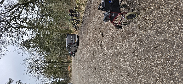
The image depicts a gravel road in the Amerongen woods, near a parking area. The road is lined with trees on either side, and there are a few cars parked on the side of the road. Two individuals are visible walking on a path that veers off to the right of the image. In the top right corner of the image, a wheelchair is parked next to the road, which is also facing right. The scene is devoid of any significant action or interaction. The overall environment is tranquil and serene.
Amerongen