Glaunta, Ireland
3 memories from Glaunta, Ireland
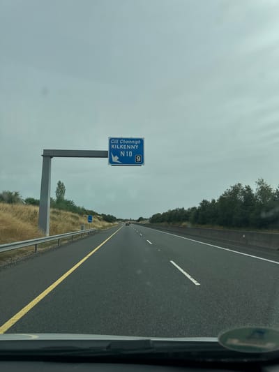
The image depicts a highway scene under an overcast sky. A blue overhead road sign is visible, indicating "Cill Chainnigh KILKENNY N10 9" with an arrow pointing left. The road is asphalt with yellow and white lines marking the lanes. Guardrails and dry grass line the left side of the road, with trees and vegetation in the background on both sides. A few cars are visible in the distance on the highway. The photograph appears to be taken from the perspective of a vehicle driving on the highway. This scene is consistent with a location on the N10 road leading towards Kilkenny, Ireland, as indicated by the signage.
Glaunta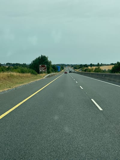
The image shows a view from a vehicle driving on a multi-lane highway. The road is asphalt with yellow and white lane markings. The sky is overcast and a pale blue-green. On the left side of the road, there is a signpost indicating "Cill Chainnigh KILKENNY" with directional arrows and icons for fuel, lodging, and a restaurant. Beyond the road, there are fields with dry grass and scattered trees. A few cars are visible on the highway in the distance. The location is identified as a highway near Glaunta, Ireland.
Glaunta
The image shows a view from inside a vehicle driving on a highway in Glaunta, Ireland. The sky is overcast and gray. The highway is paved with asphalt and has clear lane markings. There is a concrete barrier on the right side of the road and a grassy verge with trees on the left. A blue highway sign is visible on the left side of the road in the distance. There are a few other vehicles on the highway ahead. The lower part of the image shows the dashboard of the vehicle.
Glaunta