Huntington Park, United States of America
3 memories from Huntington Park, United States of America
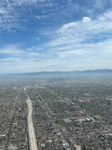
An aerial view shows a sprawling city with a river and highway cutting through it. In the distance, a cluster of skyscrapers represents the downtown area, partially obscured by haze. Rolling hills or mountains form the backdrop, with a clear blue sky dotted with wispy clouds above. The urban landscape extends as far as the eye can see, characterized by a dense network of residential buildings and commercial structures.
Huntington Park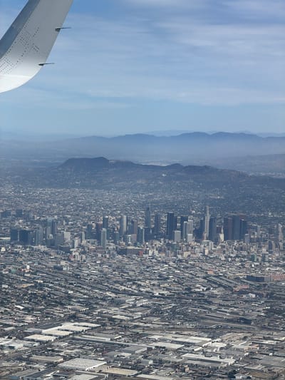
An aerial, high-angle, vertical shot captures a sprawling urban landscape, likely Los Angeles, as seen from an airplane. The foreground is dominated by the left wing of the aircraft, its white surface detailed with rows of small circular indentations and two small black fins protruding from its edge. The wing curves gracefully into the upper left quadrant of the frame, against a hazy blue sky filled with thin, wispy clouds. The mid-ground reveals a dense cityscape, a vast expanse of buildings stretching towards the horizon. Numerous skyscrapers, characterized by their rectangular forms and varying heights, form a prominent cluster, suggesting a downtown area. Interspersed with these tall structures are a multitude of smaller buildings, creating a textured urban fabric. Roads and highways weave through the cityscape, indicating a well-developed transportation network. Further in the distance, the city gives way to rolling hills and then to a range of larger mountains, their forms softened by atmospheric haze. The landscape suggests a city situated in a basin, surrounded by natural topography. The lower portion of the image shows a densely packed industrial or commercial zone, with many large, flat-roofed buildings, likely warehouses or distribution centers, covering a significant area. These structures are arranged in a grid-like pattern, with roads and parking lots visible between them. This area could be indicative of a part of Huntington Park, known for its industrial and commercial activity, given its proximity to the downtown Los Angeles core visible in the distance. The overall scene depicts a vast, complex urban environment under a clear, albeit slightly hazy, sky. No people are discernible in the image, and the focus is on the urban development and the natural surroundings.
Huntington Park
This is a vertical, aerial video shot from the window of an airplane. The airplane's wing is visible in the upper left quadrant of the frame. Below the wing, a vast urban landscape stretches out, characterized by dense buildings and a network of roads. In the middle ground, a cluster of skyscrapers forms a distinct downtown area. In the background, a hazy range of mountains can be seen under a light blue sky. The overall impression is of a sprawling city viewed from a high altitude.
Huntington Park