Kobar, Palestinian Territories
2 memories from Kobar, Palestinian Territories
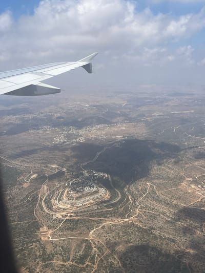
An aerial view from an airplane shows a landscape with scattered settlements and winding roads through hilly terrain. A prominent settlement, appearing as a cluster of white buildings arranged in a circular pattern on a hilltop, is visible in the center-right of the image. The surrounding hills are covered with sparse vegetation and crisscrossed by dirt roads. The shadow of the airplane wing is cast over a portion of the landscape. The sky above is partly cloudy. The image is taken from a high altitude, providing a broad perspective of the area.
Kobar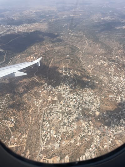
An aerial view captures the landscape surrounding the Palestinian town of Kobar, located in the West Bank. The image showcases a terrain characterized by rolling hills, sparsely vegetated with shrubs and scattered trees, likely olive groves. Numerous winding dirt roads and paved pathways crisscross the landscape, connecting various clusters of buildings. These settlements consist primarily of small to medium-sized houses with light-colored roofs, indicative of rural or semi-rural residential areas. In the foreground, the wing of an airplane is visible, extending from the lower left corner and cutting across the upper left quadrant of the image. The wing is white and appears to be in good condition. The airplane window framing is also visible along the bottom edge of the photograph. The overall impression is one of a developing landscape, with human habitation interspersed within a natural, arid environment. The presence of the airplane suggests the photograph was taken during a flight over the region. The light suggests it is daytime, with some atmospheric haze visible in the distance.
Kobar