Laye, France
2 memories from Laye, France
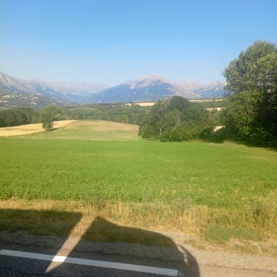
The image depicts a rural landscape under a clear blue sky. In the foreground, a road with a white line marking its edge is visible, with a shadow cast across it. Beyond the road is a field of lush green vegetation, transitioning to drier, taller grass. Further into the scene, rolling hills are covered with trees and patches of yellow and green fields, suggesting agricultural activity. In the distance, a range of mountains forms the horizon. The overall impression is one of a serene, natural environment, likely in a mountainous region. The location is identified as Laye, France.
Laye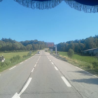
The image shows a view from a vehicle driving on a rural road in Laye, France. The road is paved with white dashed lines indicating lanes. On the right side of the road, there is a grass field and trees. Further ahead, there is a large electronic sign displaying "INFO ROUTE TOUR DE FRANCE 23/7 N85 FERMEE DE 13H A 17H CORPS-BRUT N". This indicates that Route N85 is closed due to the Tour de France on July 23rd from 1 PM to 5 PM. A white car is visible driving in the opposite direction on the road. The sky is clear and blue. There is a structure with a roof and fringe visible at the top of the image, suggesting it's the interior of a vehicle or a canopy.
Laye