Niğde, Turkey
3 memories from Niğde, Turkey
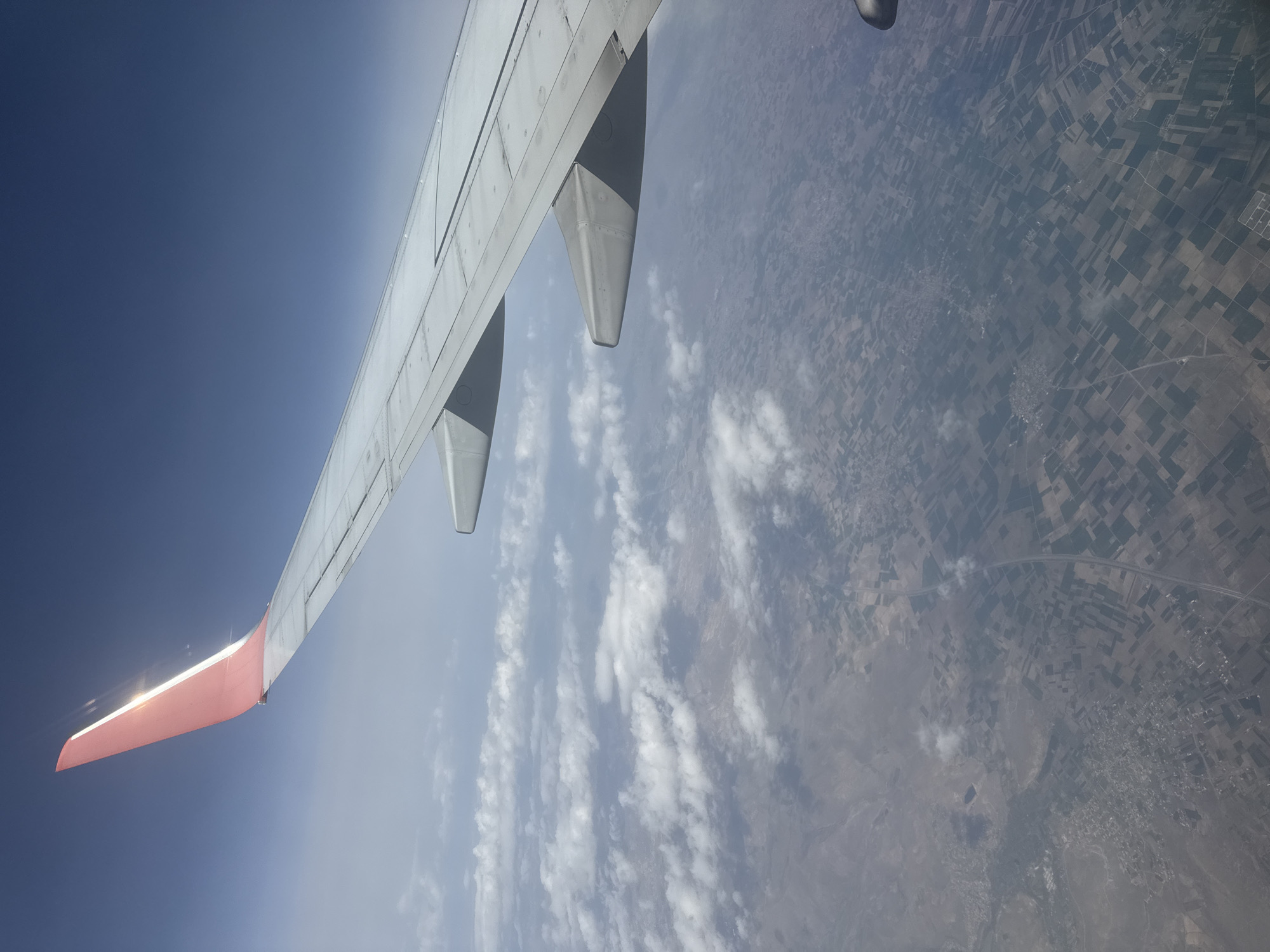
An aerial photograph captures a view from an airplane window, dominated by the aircraft's wing and the landscape below. The left and upper portions of the image feature the light grey-white airplane wing, extending diagonally across the frame. The wing's tip, or winglet, is distinctly red and catches bright sunlight, creating a shimmering reflection. Parts of the engine nacelle are also visible above the wing. Below the wing and stretching across the right and lower parts of the frame is a vast expanse of land seen from high altitude. This terrestrial view reveals a patchwork of agricultural fields, characterized by rectangular plots of varying shades of green and brown, indicative of different crops or fallow land. Thin lines, likely roads, crisscross the landscape, and scattered clusters of buildings suggest small towns or settlements. Wispy, white clouds are sparsely distributed over the ground, casting soft shadows. The sky occupies the upper left quadrant, transitioning from a deep blue at the top left to a lighter, hazy blue near the horizon. The bright illumination on the winglet suggests it is daytime, under clear to partly cloudy conditions. The scene provides a typical vista during a flight over a populated, agricultural region. Given the context, this view is of Niğde, Turkey. There is no visible text in the image.
Niğde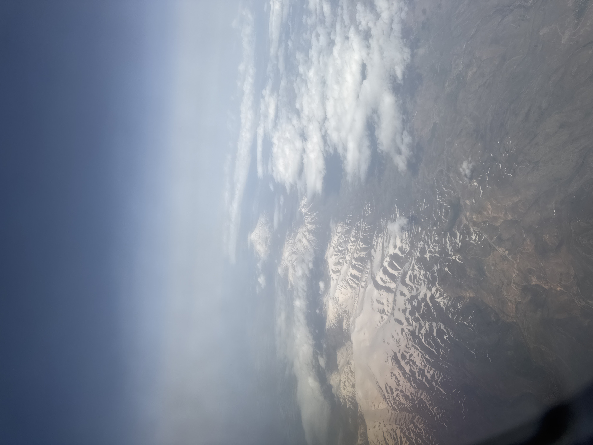
This aerial photograph captures a panoramic view of a vast, mountainous landscape, likely taken from an aircraft at high altitude. The left portion of the image features a clear to hazy blue sky, gradually transitioning to scattered, wispy white clouds that extend across the middle of the frame. Below the cloud layer, rugged mountains dominate the right and bottom sections of the image. These peaks are distinctly adorned with significant patches of snow, particularly on their higher elevations and within valleys, suggesting either late winter or early spring, or simply a high-altitude environment. The exposed land between the snowy areas appears arid, rocky, and predominantly brownish-grey, showcasing intricate topographical features like ridges and valleys. Faint lines, possibly indicative of roads or trails, can be discerned traversing the barren landscape in certain areas. A dark, curved element, likely a part of an aircraft window frame, is visible in the bottom right corner of the original image. The lighting indicates bright daytime conditions, possibly late morning or early afternoon, with diffuse sunlight suggesting clear weather above the main cloud layer. The mountainous terrain and arid features are consistent with the geographical characteristics of regions like Niğde, Turkey, which is known for its high-altitude and often snow-capped landscapes. No visible text is present in the image.
Niğde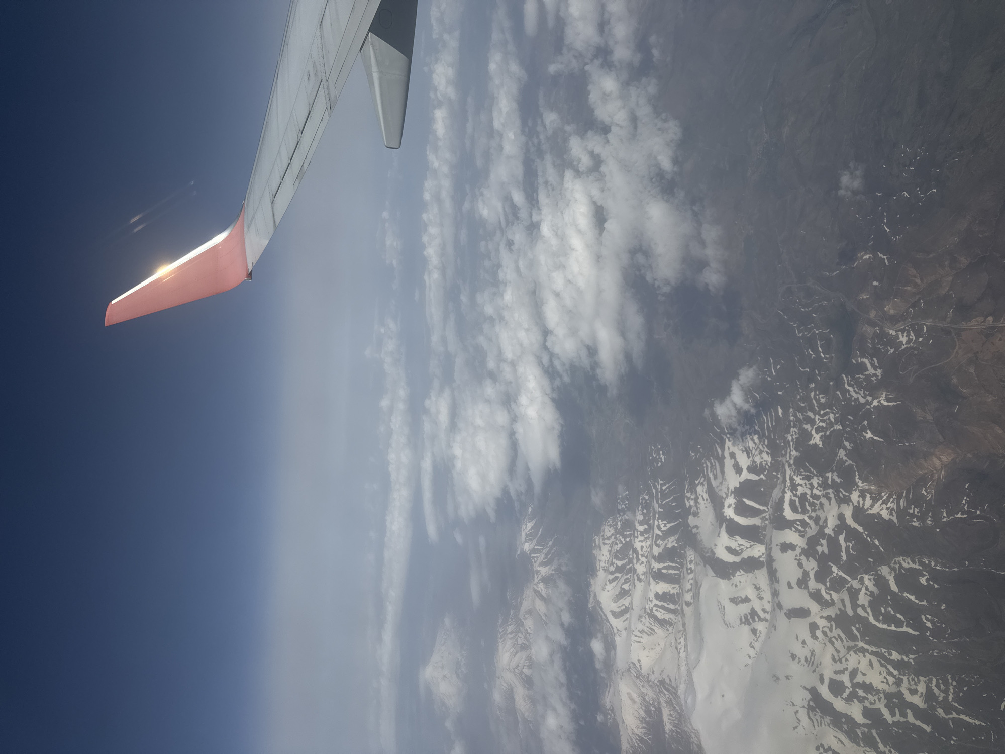
The image presents an aerial view captured from an airplane window, looking out over a diverse landscape of sky, clouds, and mountainous terrain. In the upper left quadrant, a portion of the airplane's wing is prominently visible, its surface appearing white or light grey. The distinct red or orange winglet at the tip of the wing reflects a bright specular highlight from the sun, indicating daytime. The sky in the upper left is a deep, rich blue, gradually transitioning to a lighter, more hazy blue and white towards the right side of the frame, suggesting atmospheric depth. Below the horizon line, a layer of scattered clouds drifts. These clouds vary in form, ranging from fluffy cumulus to more elongated, wispy formations, partially veiling the ground beneath. The terrestrial landscape below the clouds reveals a rugged, mountainous region. Numerous peaks and ridges are characterized by extensive patches of snow, contrasting sharply with the darker, exposed rock and earthy tones of the land. Valleys and geological patterns are discernible, and faint lines that could be roads or tracks can be seen winding through the terrain. Given the location context of Niğde, Turkey, this mountainous area likely corresponds to parts of the Taurus Mountains. The image captures an airplane in active flight. The time of day is clearly daytime due to the bright sunlight. No visible text is present in the image.
Niğde