Pamvotida Municipal Unit, Greece
3 memories from Pamvotida Municipal Unit, Greece
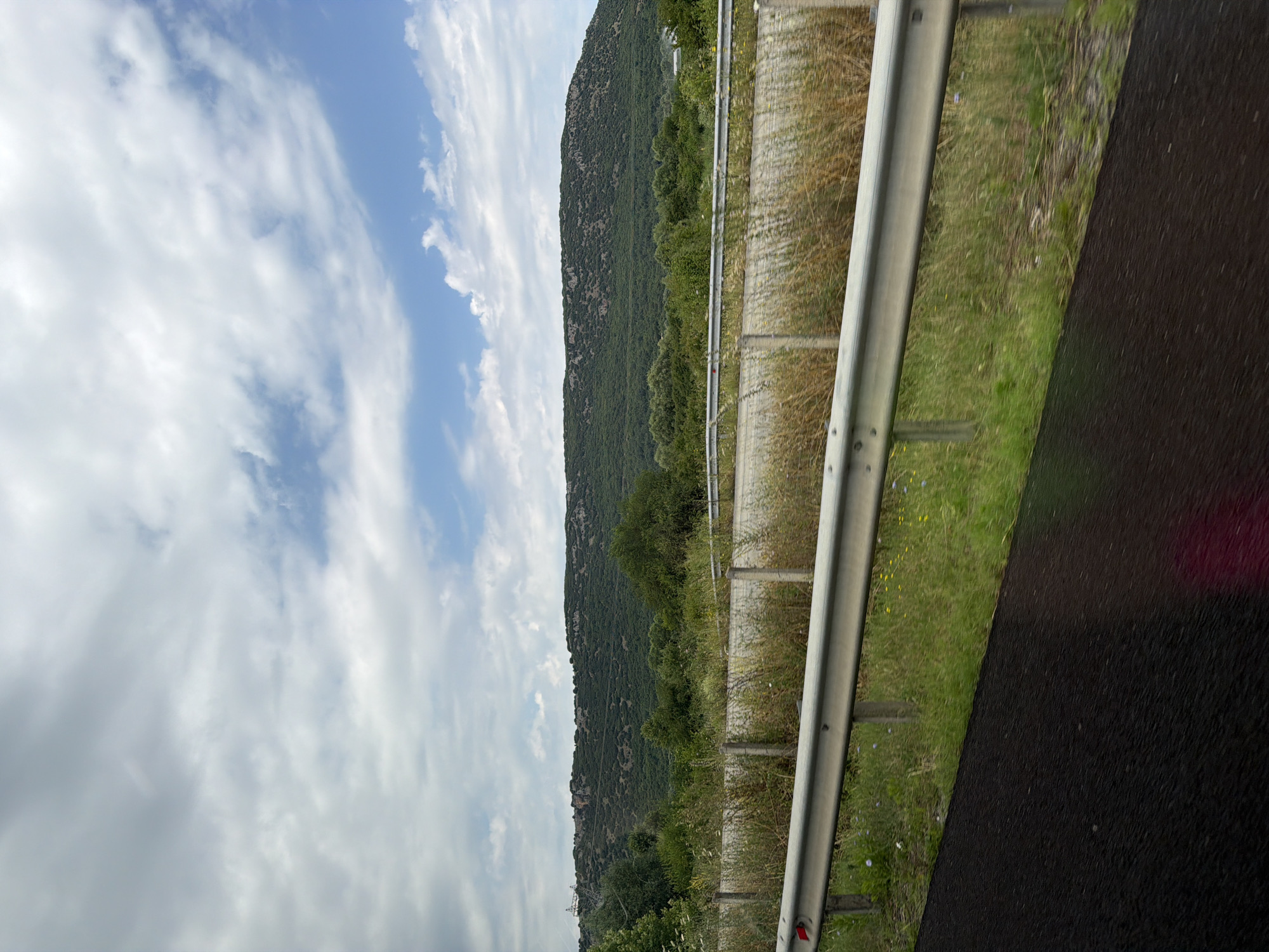
The image captures a landscape scene from a moving vehicle, likely on a road. In the foreground, a dark asphalt surface is visible, with a bright magenta reflection on its lower right portion. A silver metal guardrail runs horizontally across the mid-ground, with vertical supports spaced along its length. Beyond the guardrail, tall, dry grass and green vegetation grow, interspersed with small yellow and blue wildflowers. Further back, a gently sloping green hill or mountain dominates the background, covered in dense, dark green trees and shrubs. The sky above is partly cloudy, with patches of blue sky visible between soft, white clouds. The overall impression is a rural or natural setting, possibly in a Mediterranean region given the vegetation. While the image is described as being from the "city of Pamvotida Municipal Unit, Greece," no specific landmarks or urban features are discernible within the frame that would pinpoint a precise location within this area. The scene suggests a journey through the countryside.
Pamvotida Municipal Unit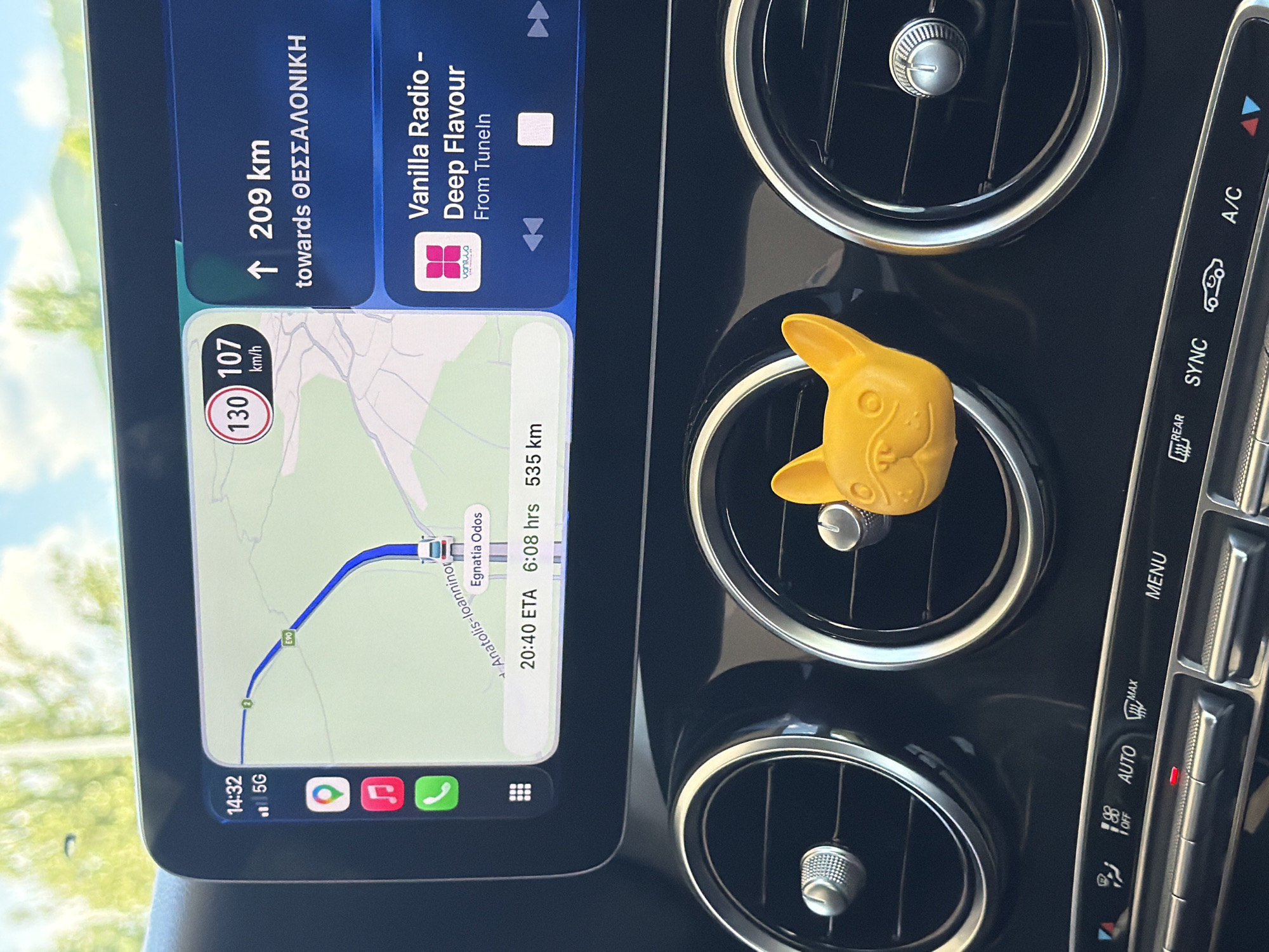
The image shows a close-up view of a car's dashboard, focusing on the infotainment screen and air vents. The infotainment screen displays a navigation interface with a map of the Egnatia Odos highway in Greece. The current time is 14:32, and the car is traveling at 107 km/h, with a posted speed limit of 130 km/h. The destination is Thessaloniki, located 209 km away, with an estimated arrival time of 20:40. The screen also shows a music player with "Vanilla Radio - Deep Flavour" playing from TuneIn. To the left of the screen, icons for a map application, music, and phone calls are visible. In front of the air vents, a bright yellow French bulldog-shaped air freshener is attached to the right vent. The lower part of the image shows car climate control buttons, including "AUTO", "MENU", "REAR", "SYNC", and "A/C". The environment appears to be outdoors, with sunlight filtering through trees in the background, suggesting a daytime shot. The geographical location is identified as the Egnatia Odos highway, which passes through the Pamvotida Municipal Unit in Greece.
Pamvotida Municipal Unit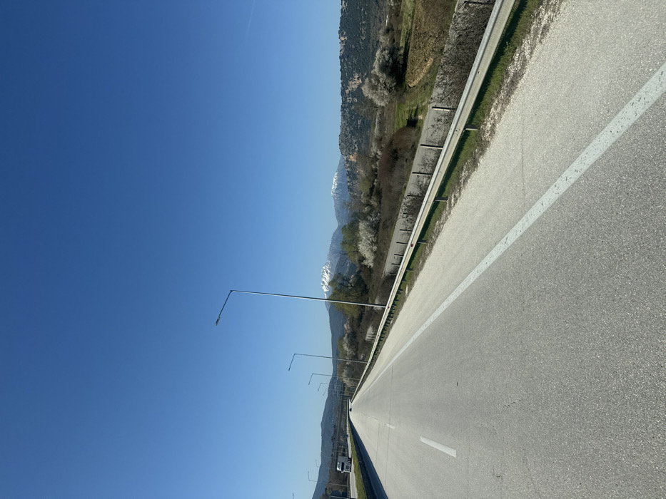
The image displays a multi-lane asphalt highway under a clear blue sky, located within the Pamvotida Municipal Unit, Greece. The perspective is from the road, looking forward in the direction of travel. The highway features a grey asphalt surface with a solid white line marking the right edge of the main lane and a dashed white line separating the two visible lanes. Minor surface cracking is evident on the asphalt. Along the right side of the highway, a metallic W-beam guardrail, supported by dark posts, runs parallel to the road. Beyond the guardrail, the terrain slopes downwards, revealing sparse vegetation, bare deciduous trees, and numerous trees adorned with white blossoms. Further to the right, a cultivated field of brown earth and a rocky hill covered in green vegetation are discernible. A series of tall, grey streetlights, each with a single luminaire, are spaced along the right edge of the road, extending into the distance. In the mid-distance on the left lane, a white semi-truck with a trailer is visible, traveling in the same direction. A smaller, dark vehicle is positioned further ahead on the road. The background features a clear, uniformly blue sky above a distant mountain range, which includes two prominent snow-capped peaks rising above lower, greener hills. No individuals are visible in the scene.
Pamvotida Municipal Unit