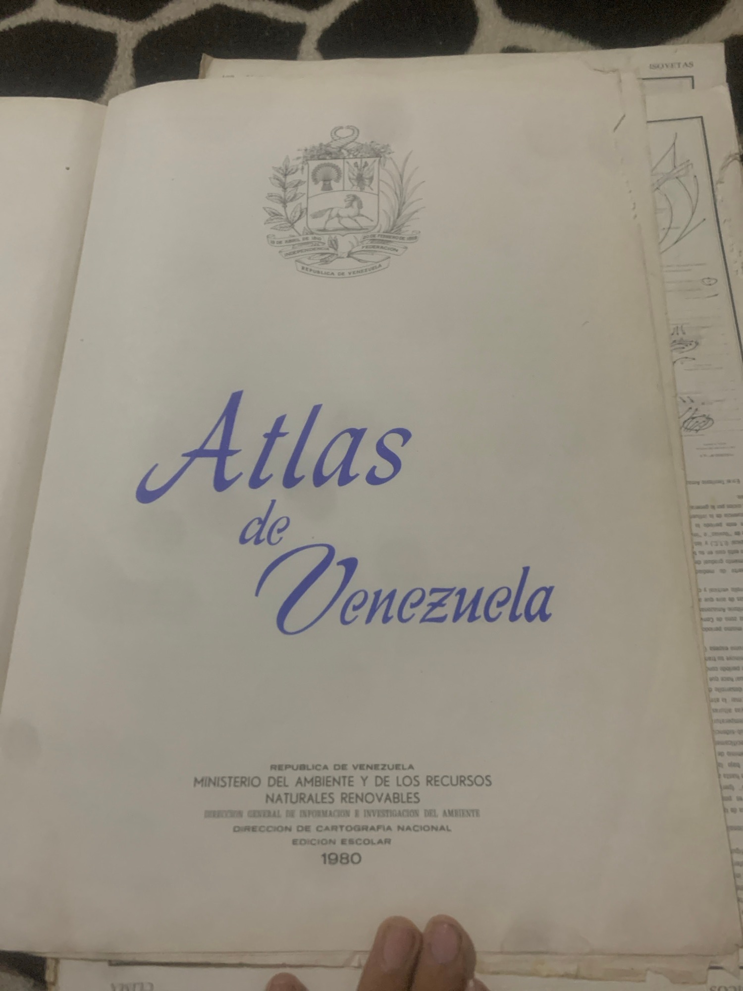
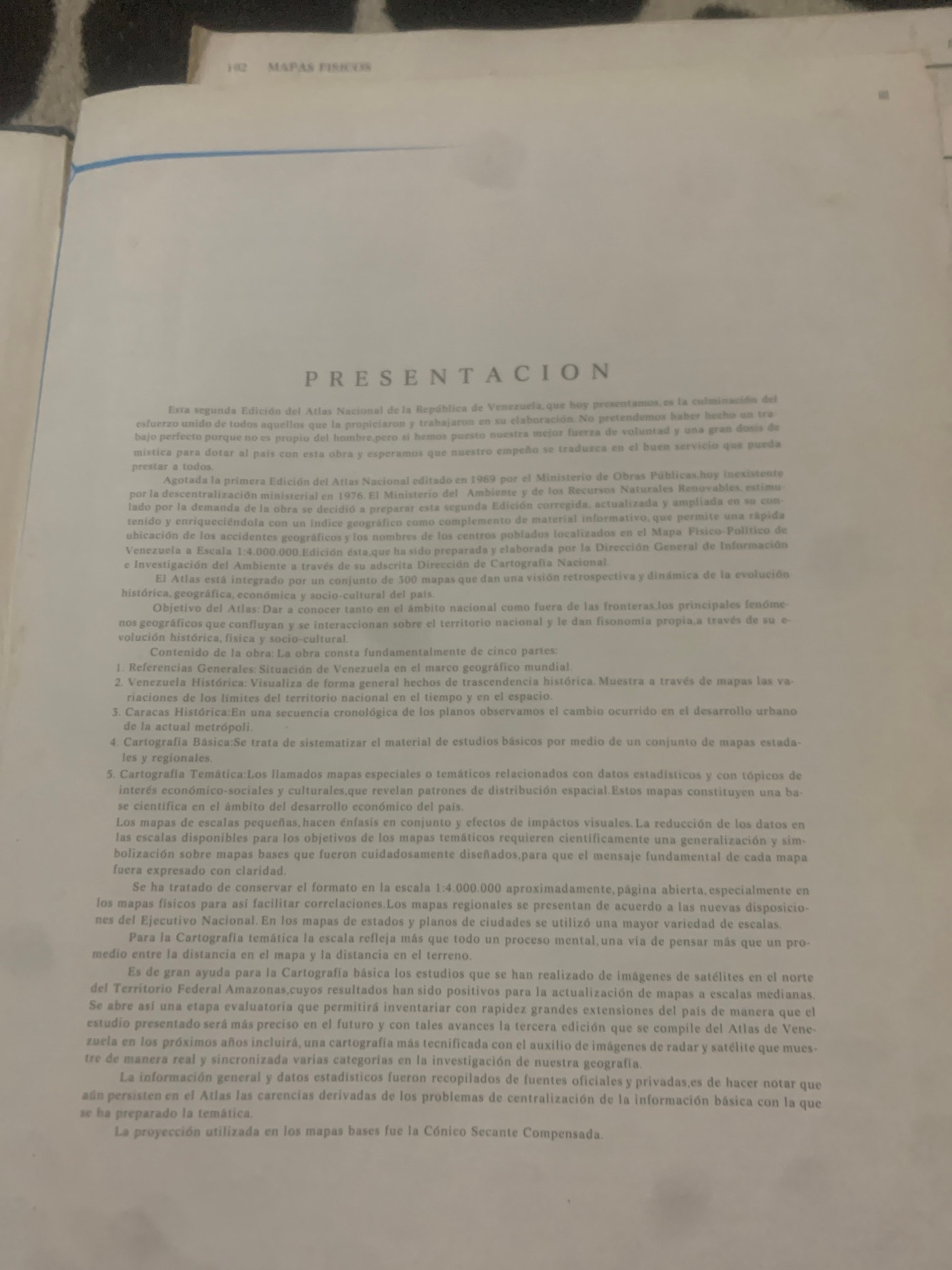
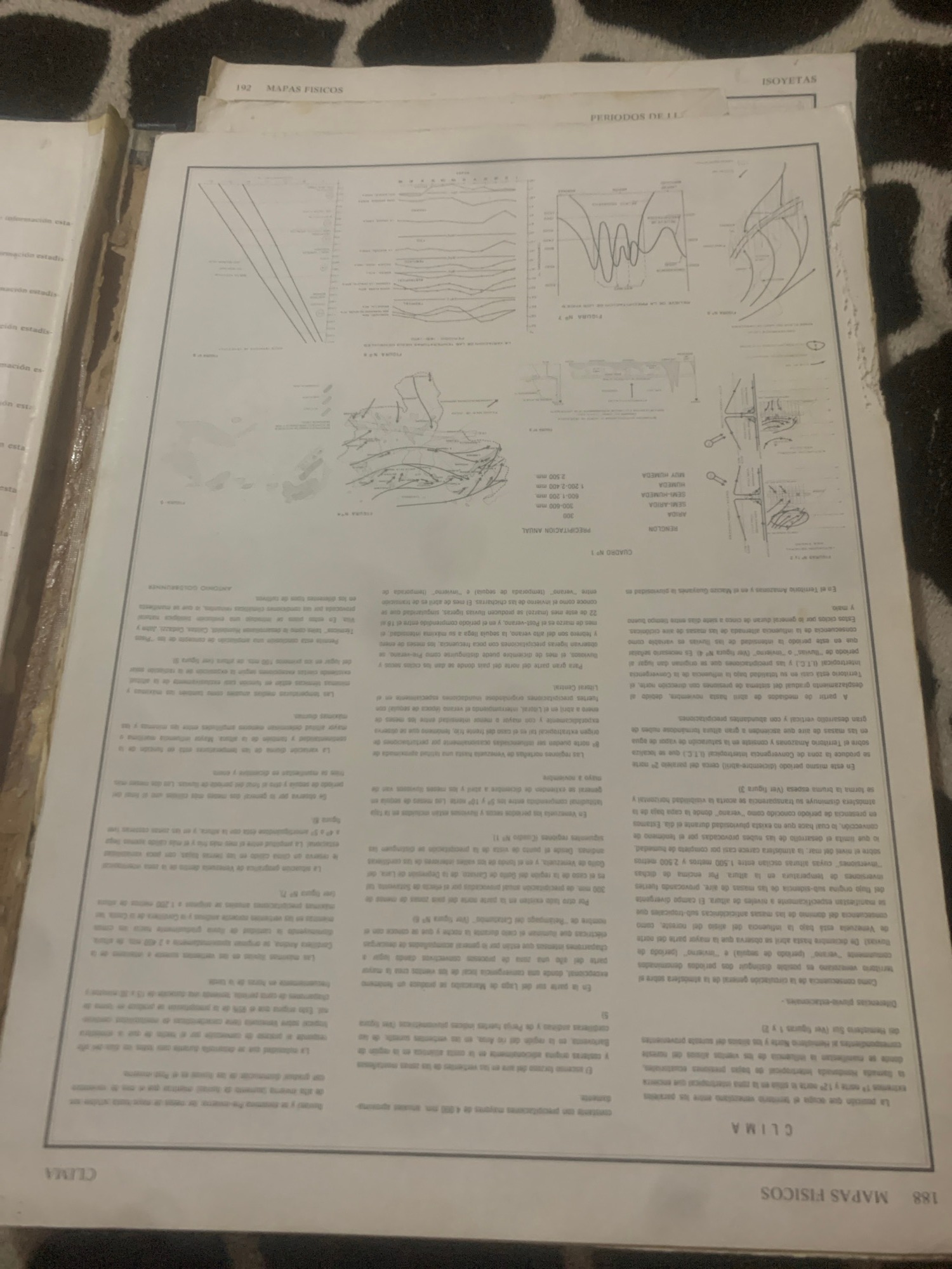
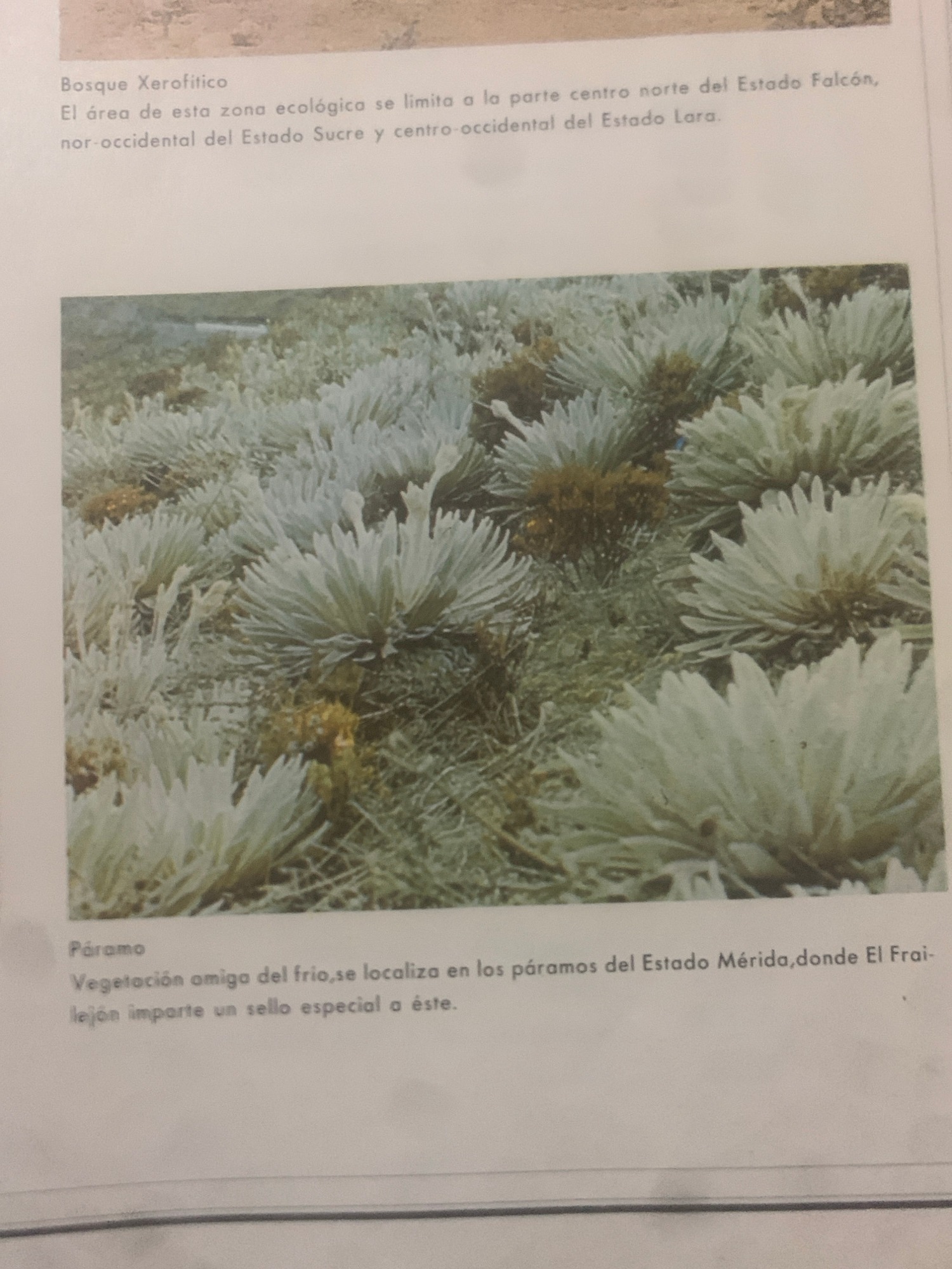
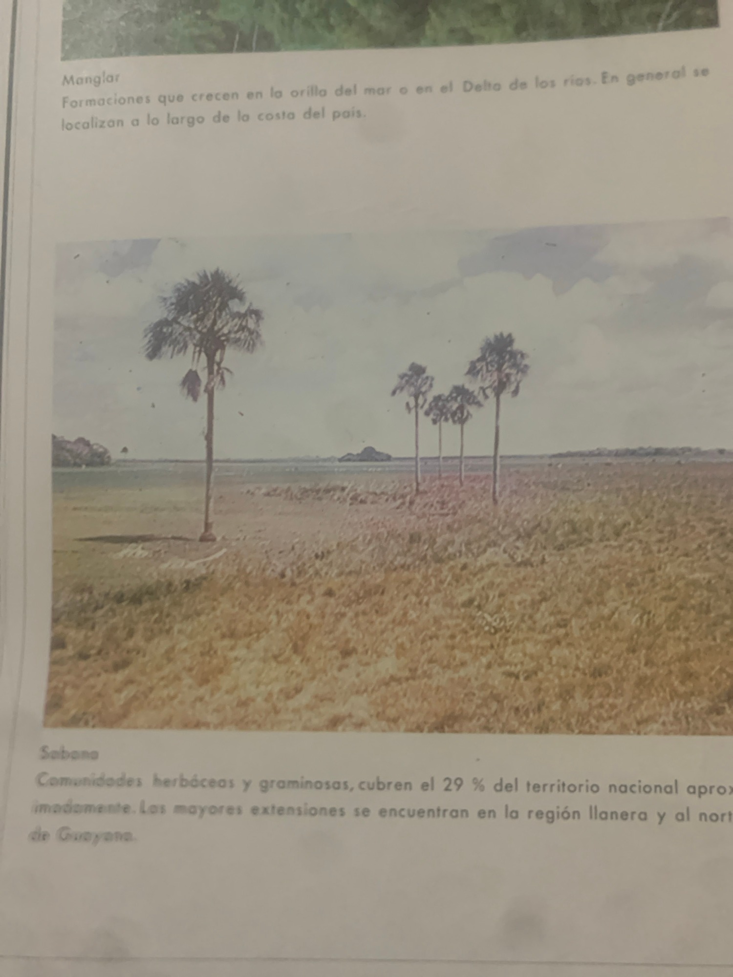
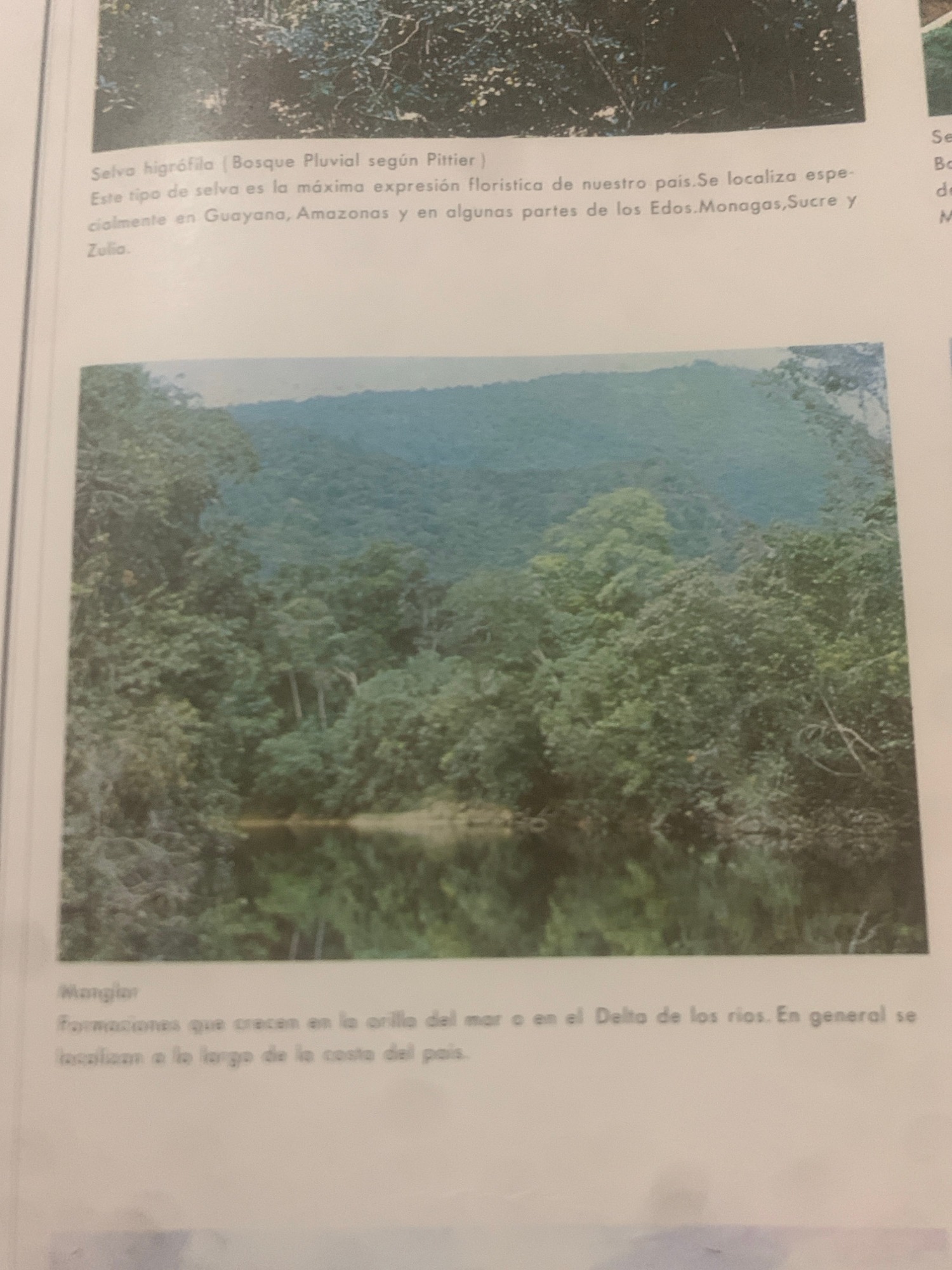
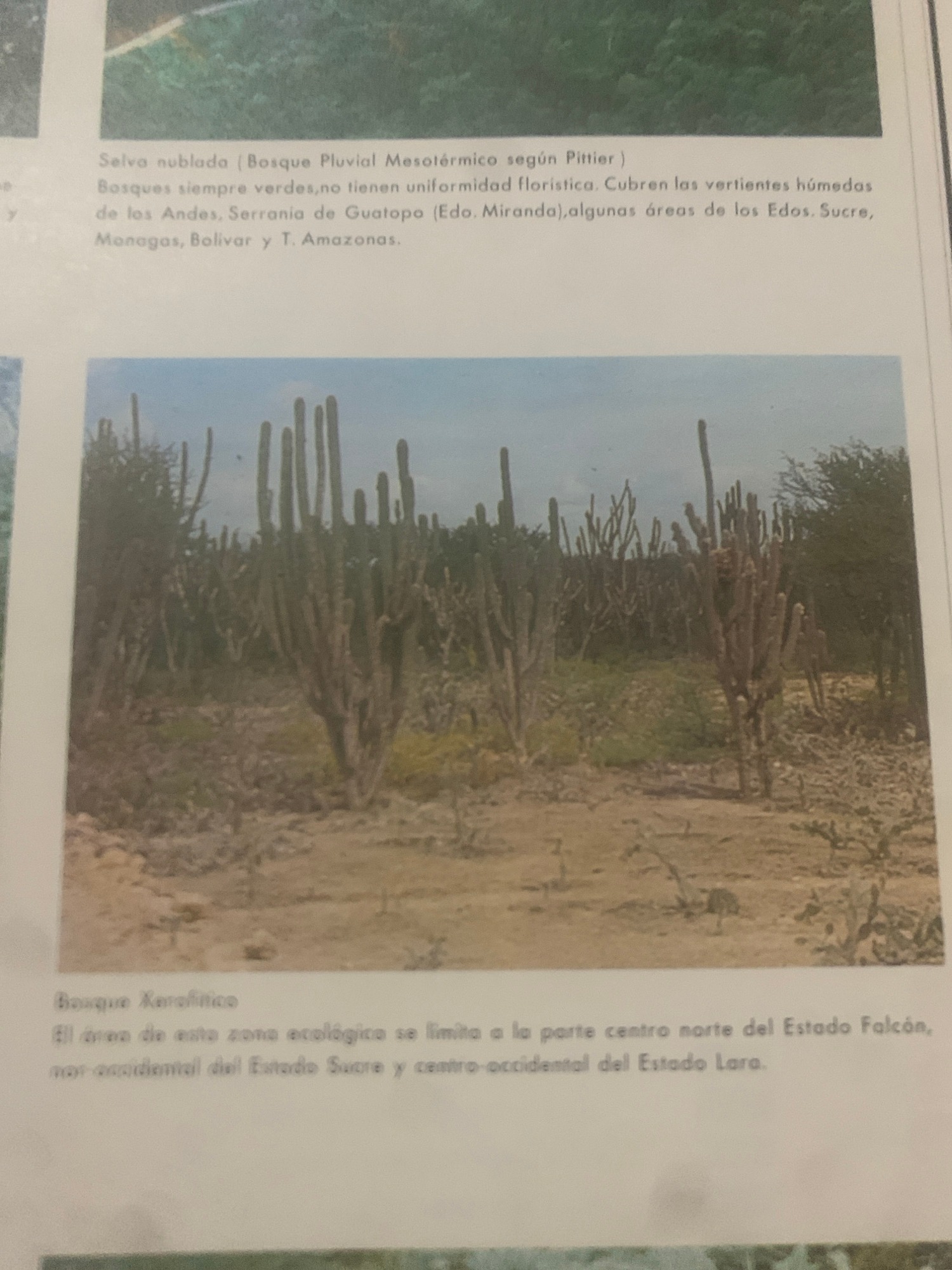
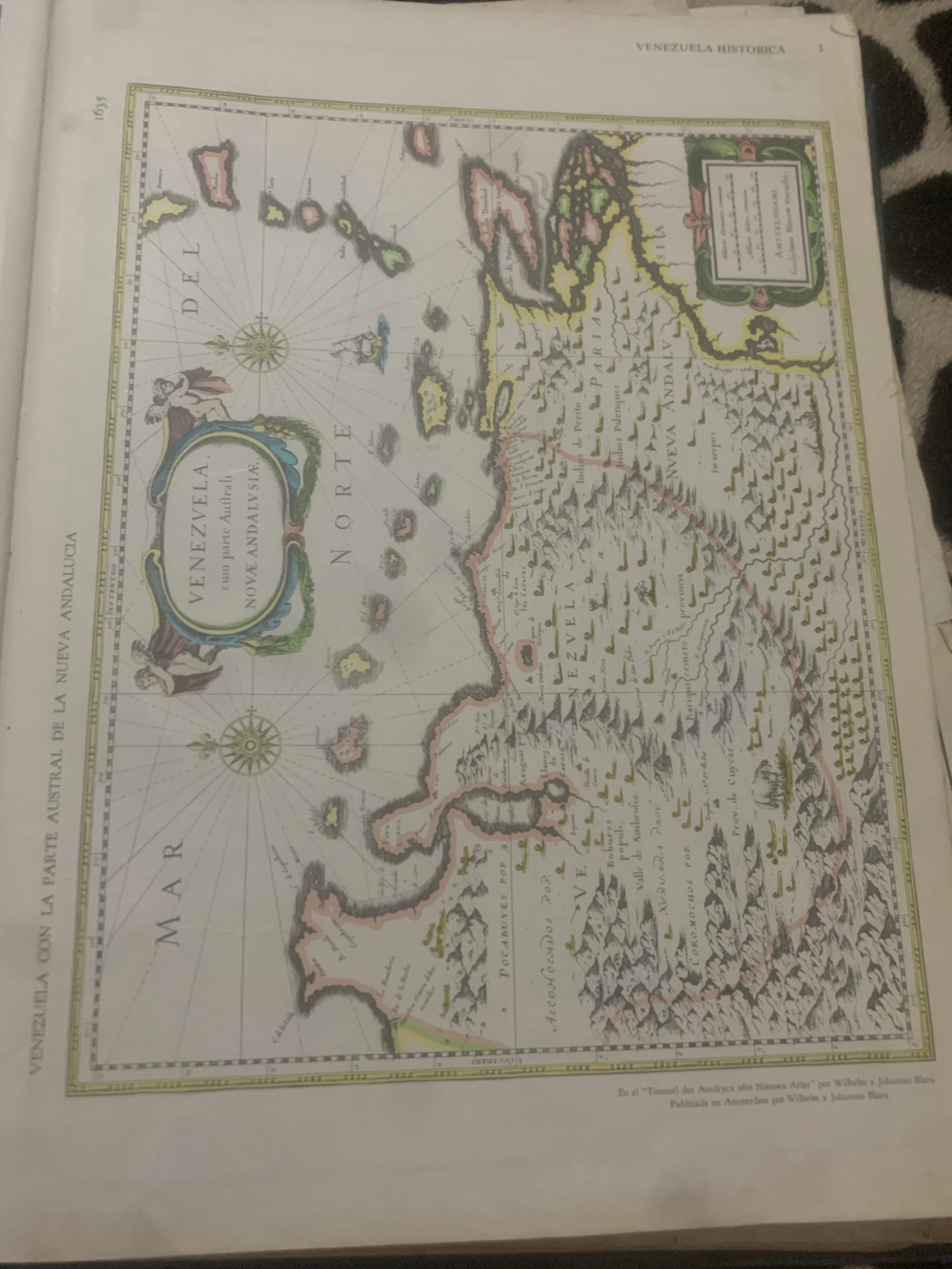
Venezuelan atlas pages and regional maps photographed in La Tagua
Thursday, June 25, 2026 · Updated Thursday, June 25, 2026
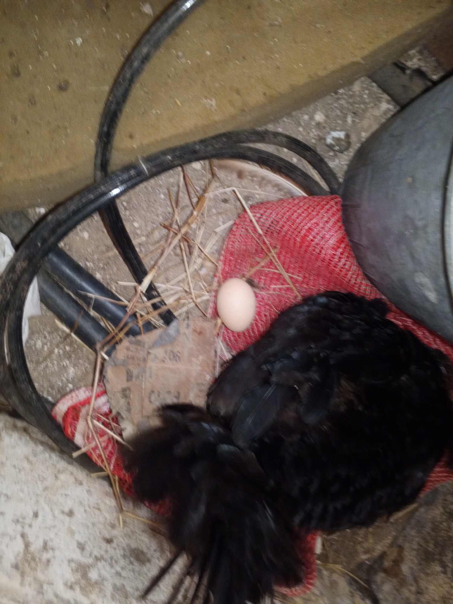
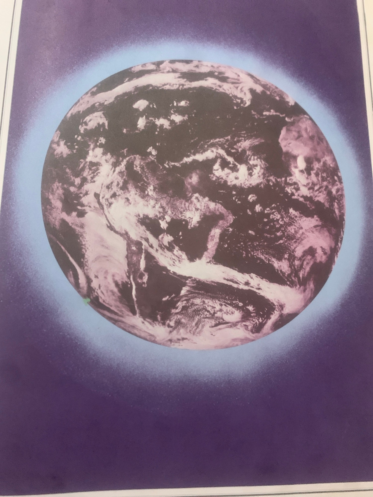
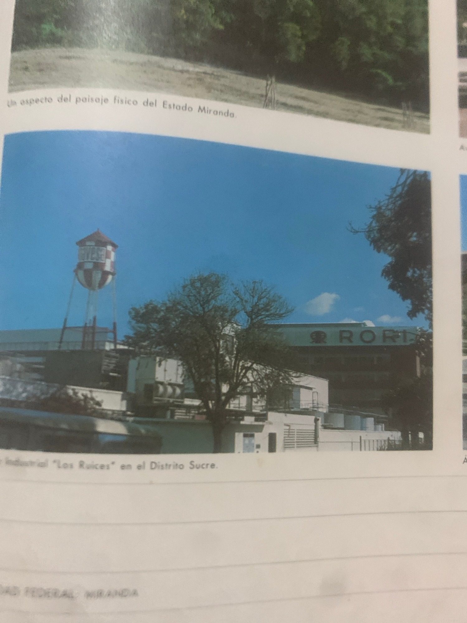
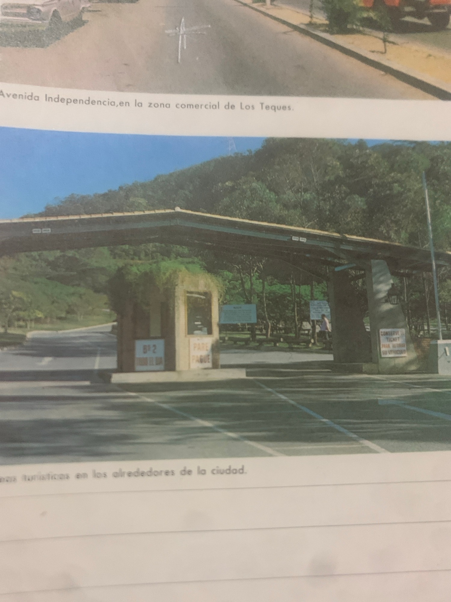
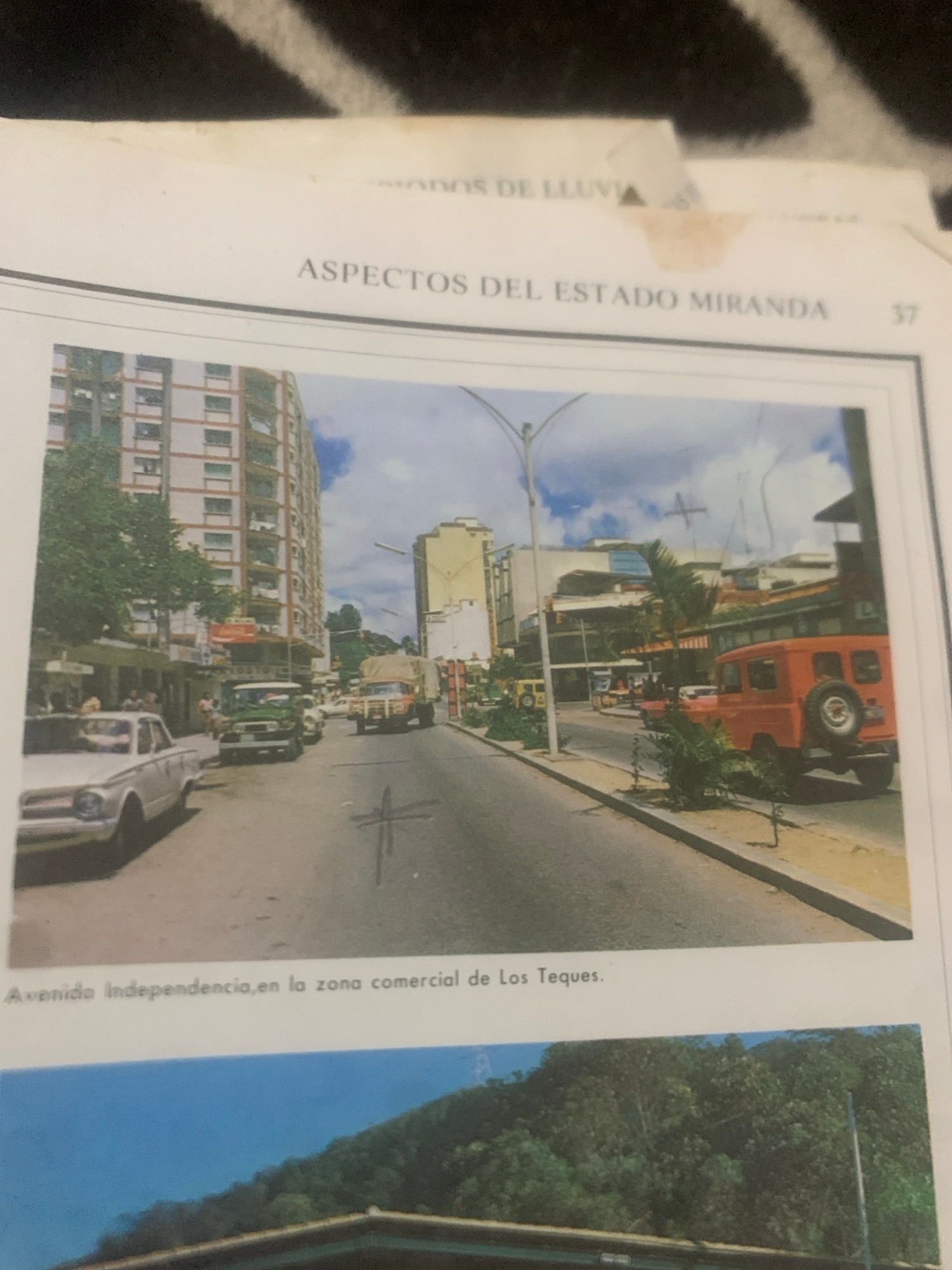
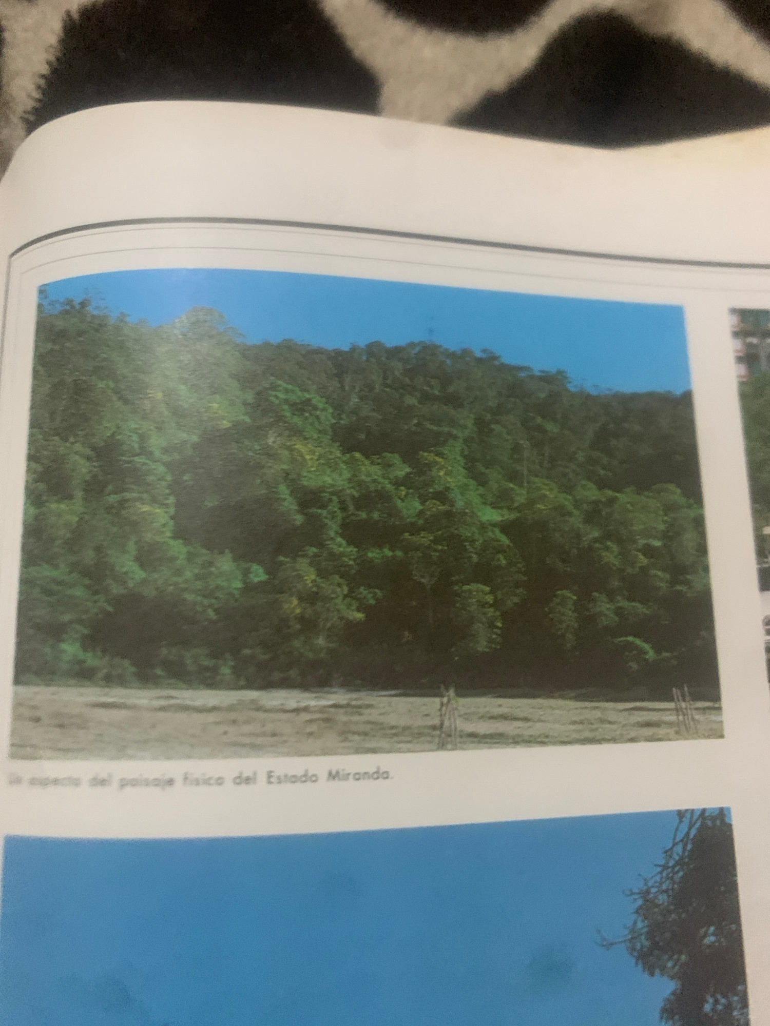
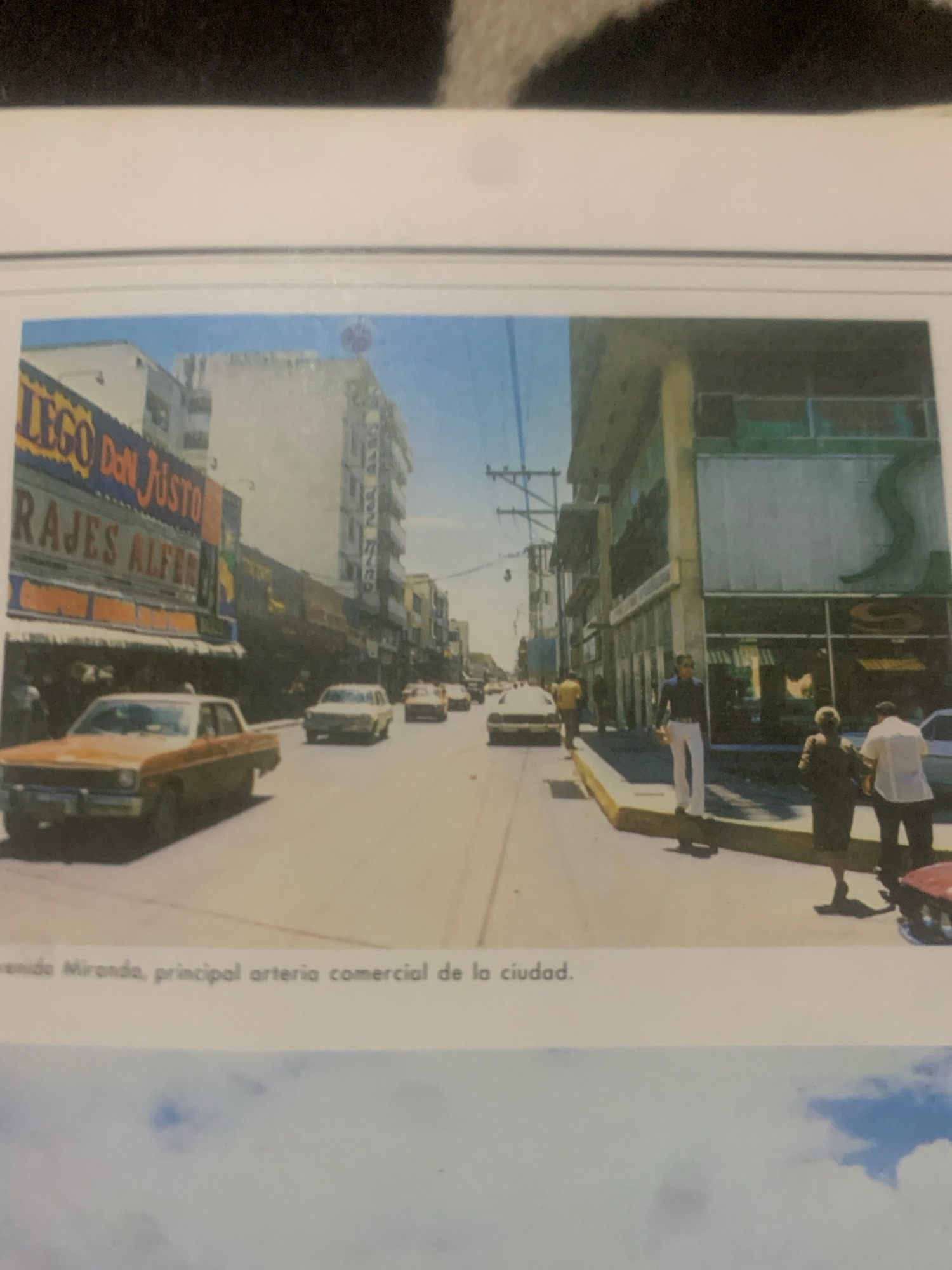
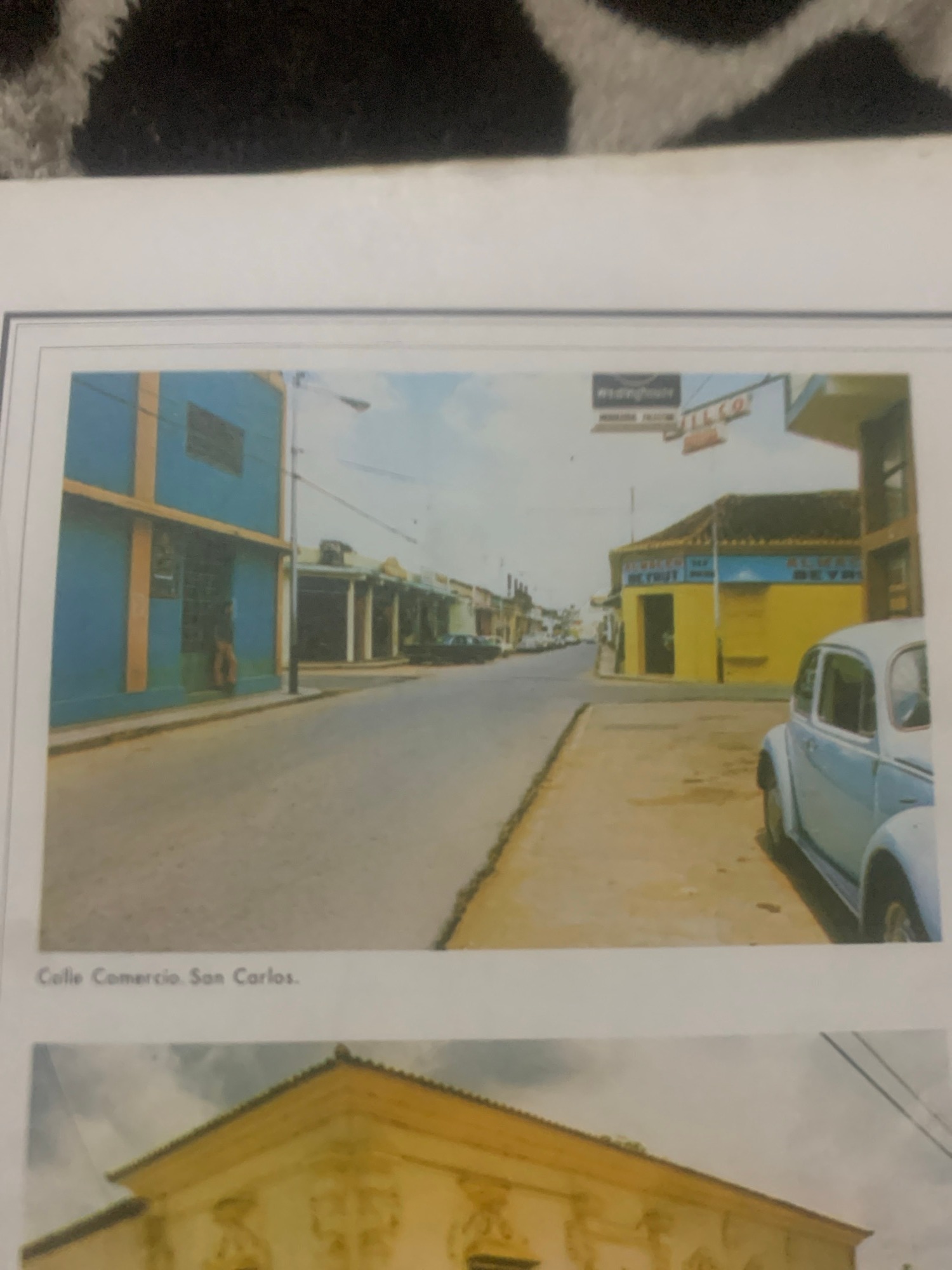
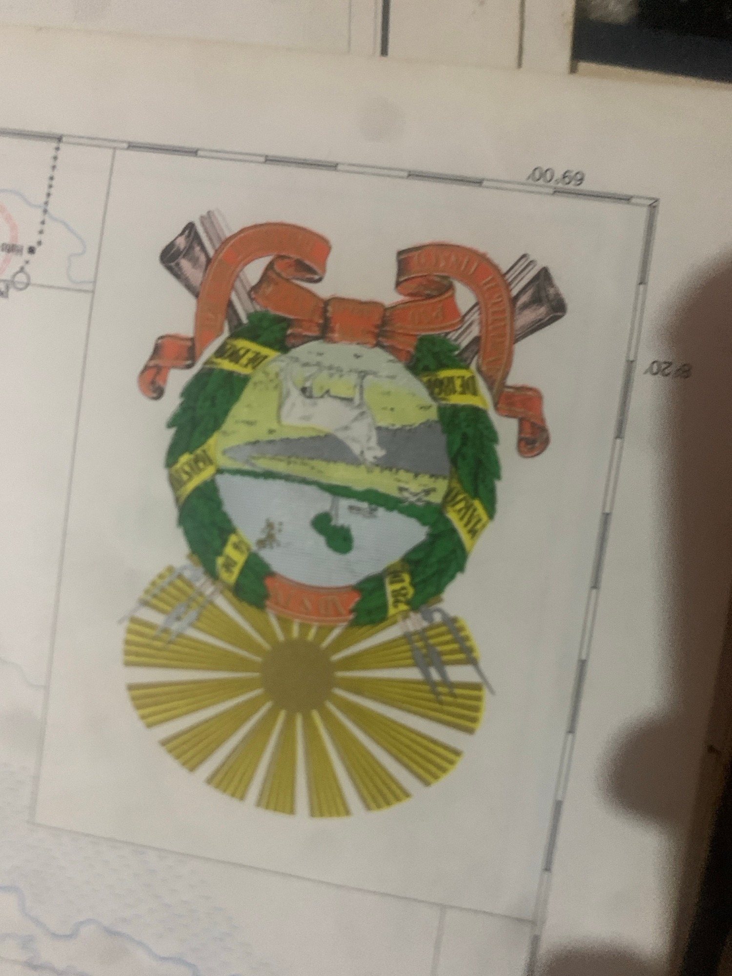
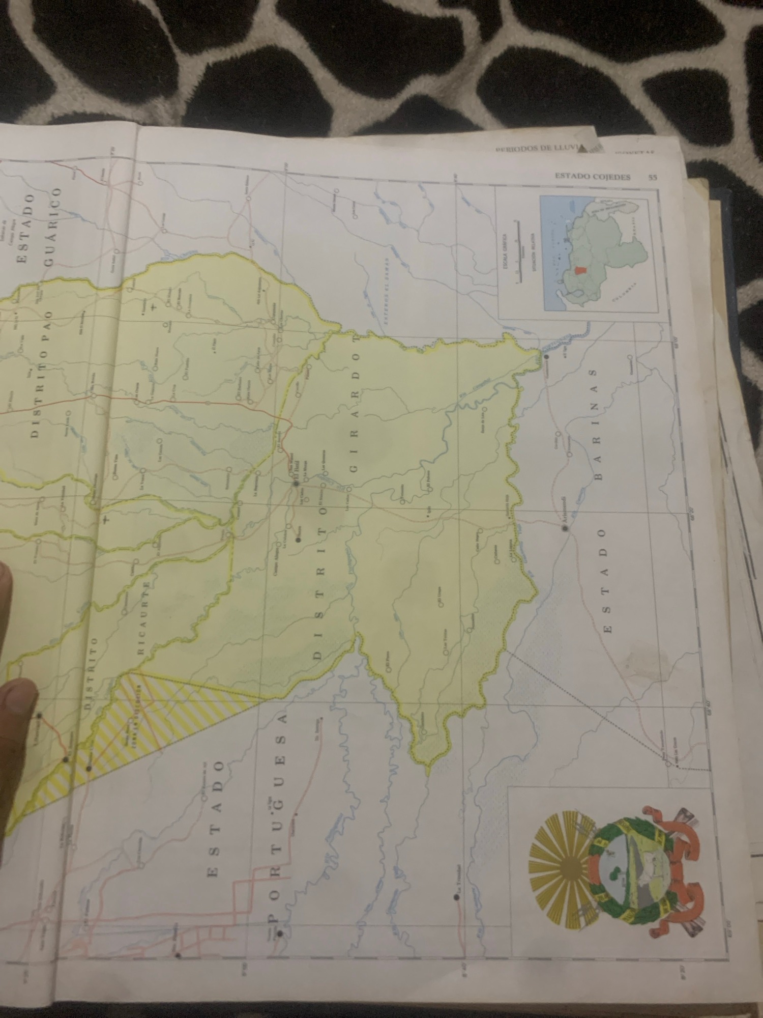
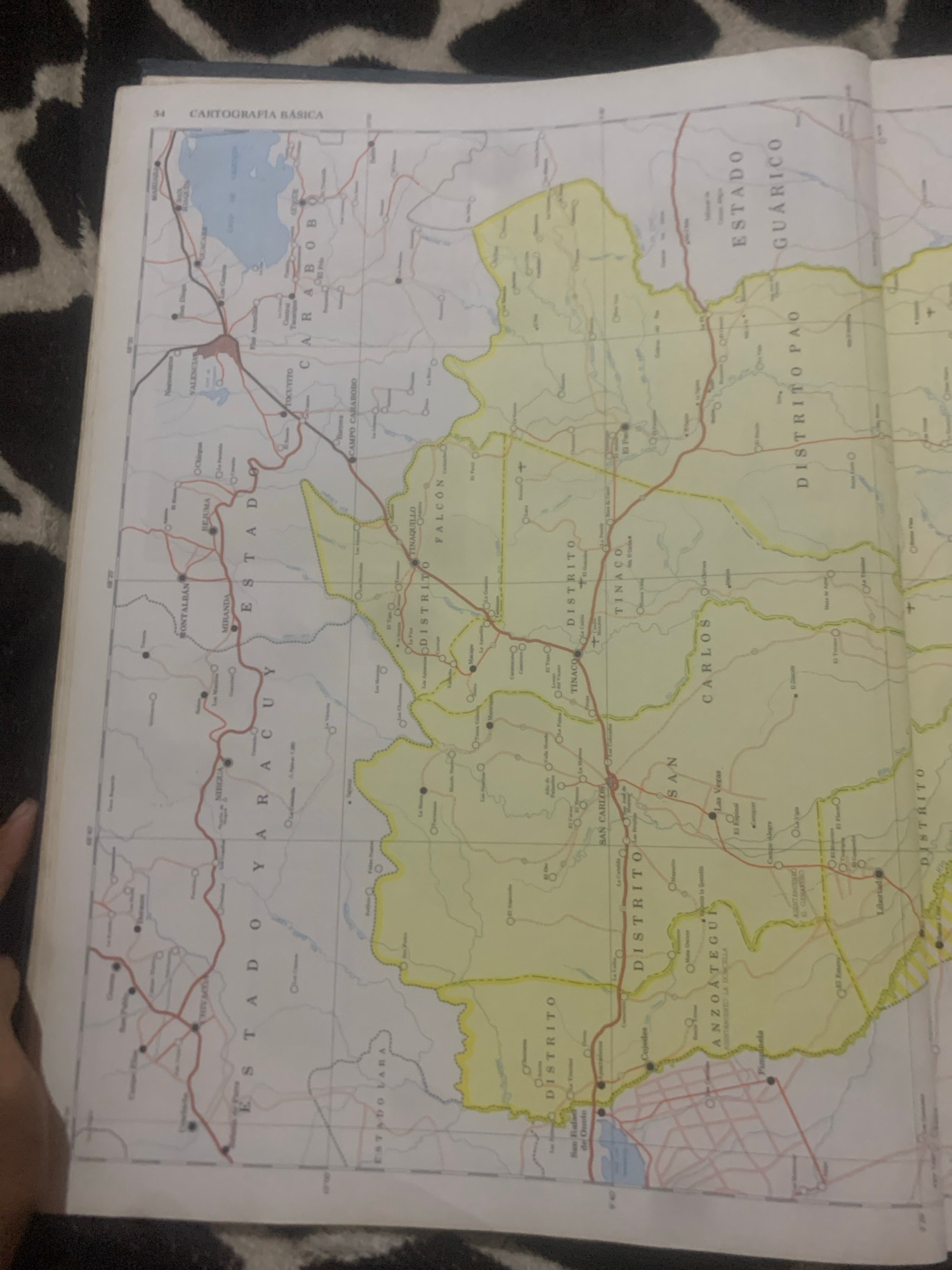
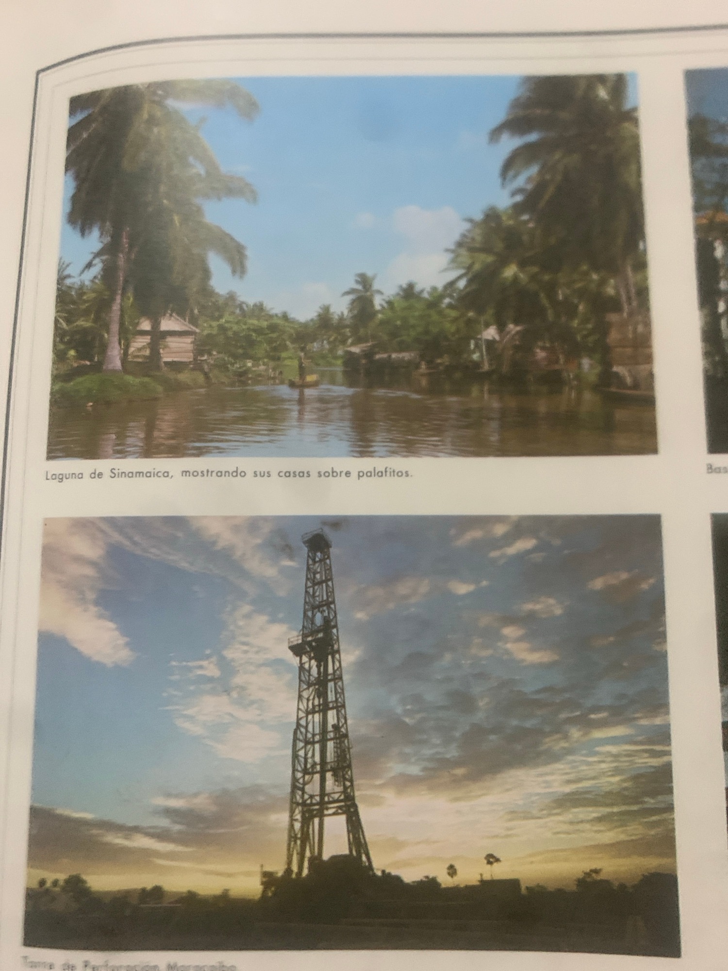
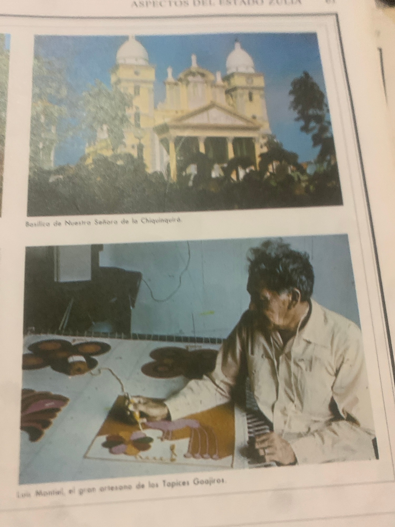
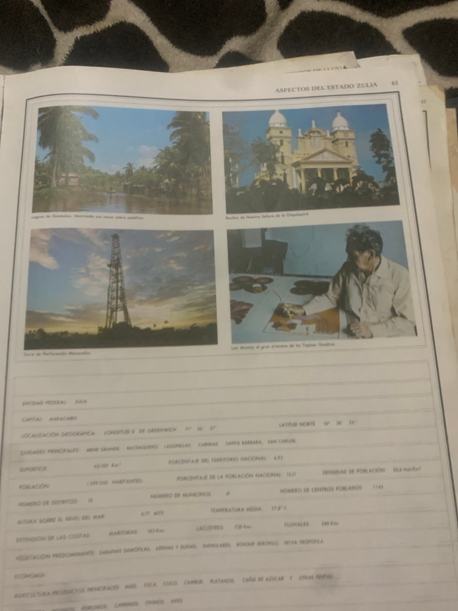
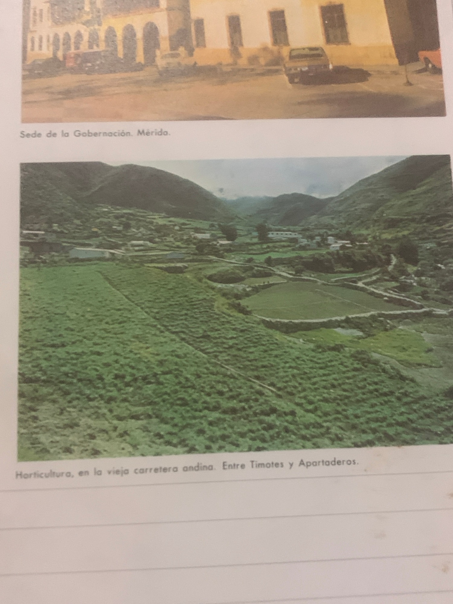
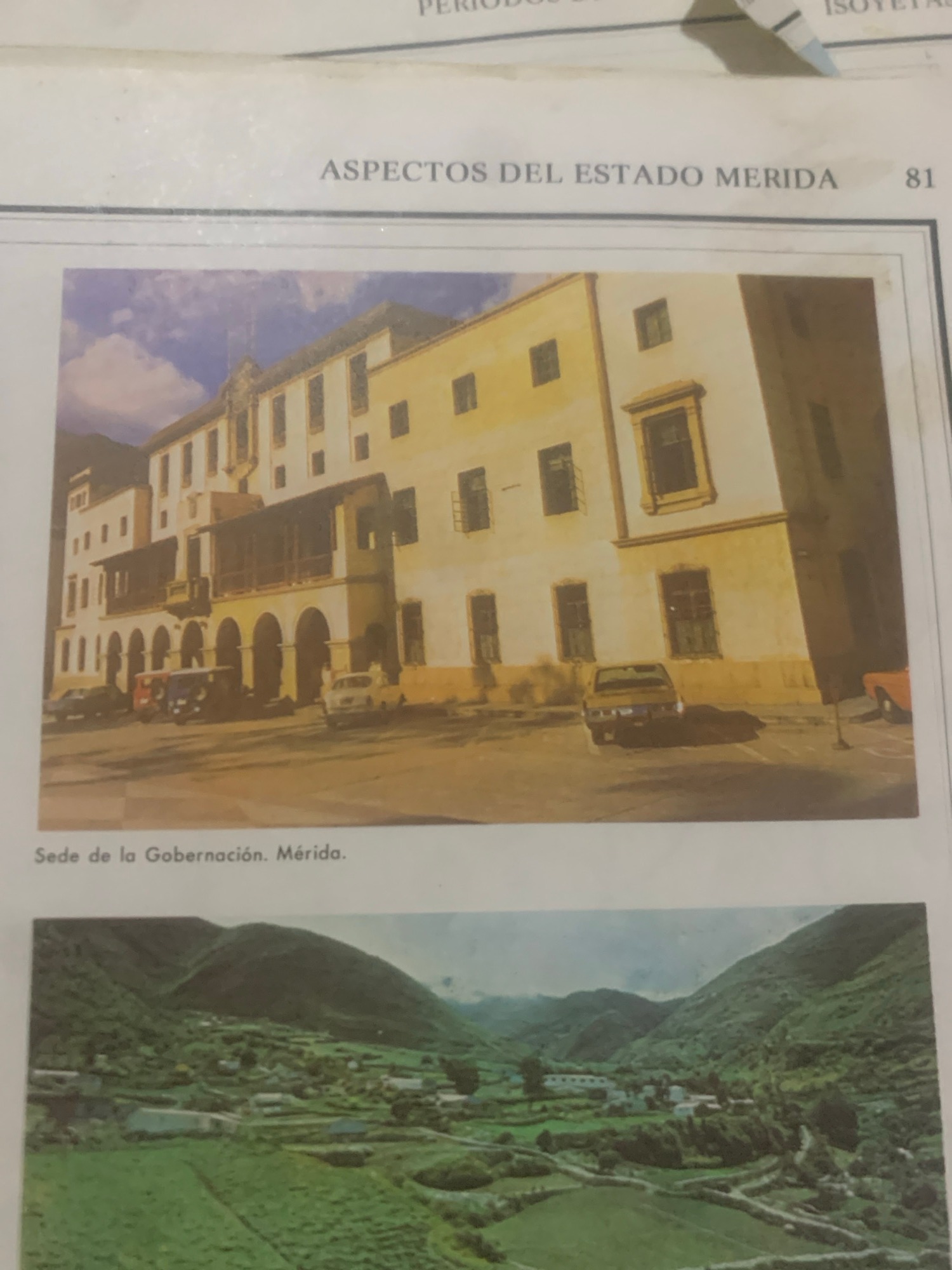
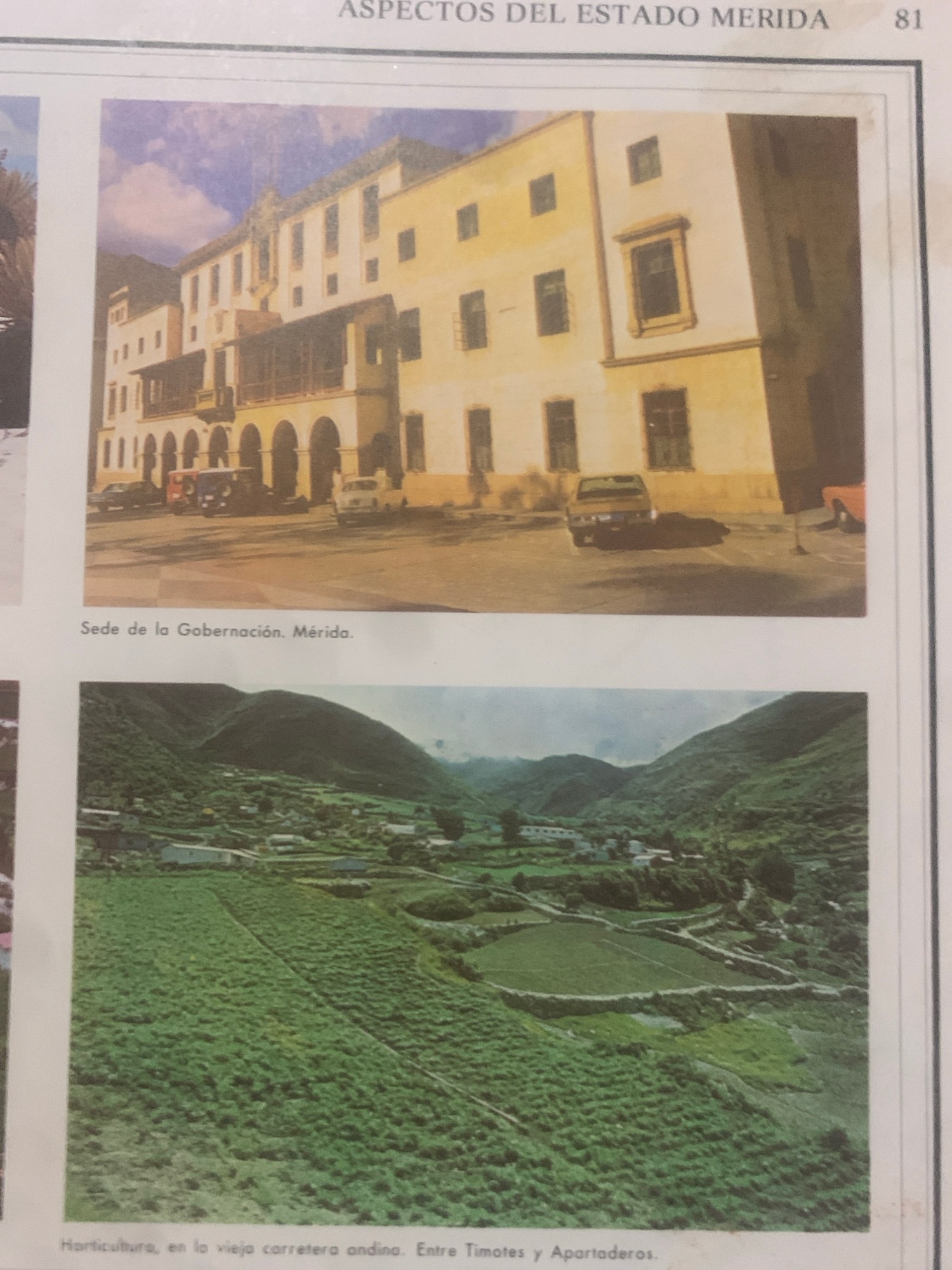
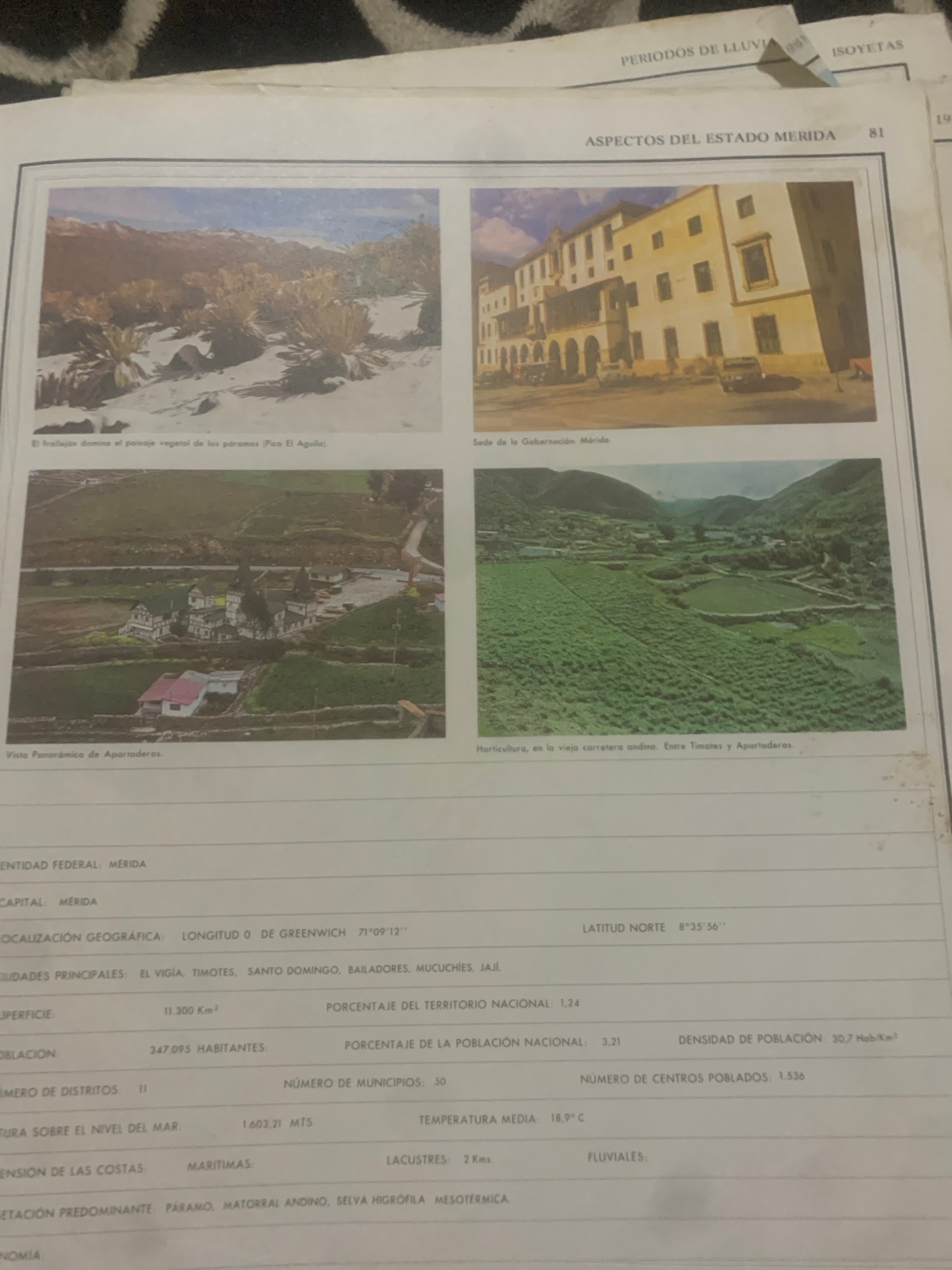
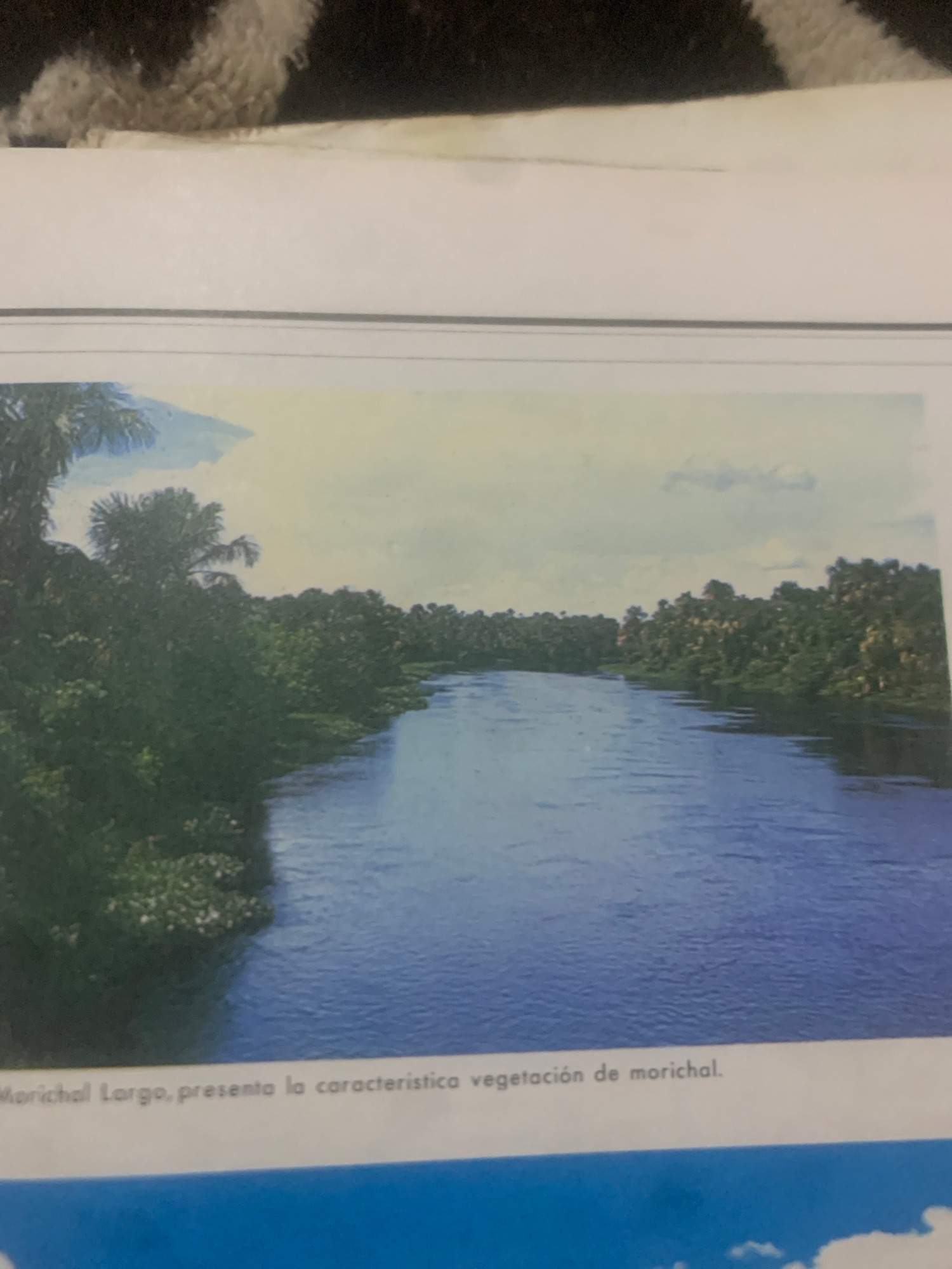
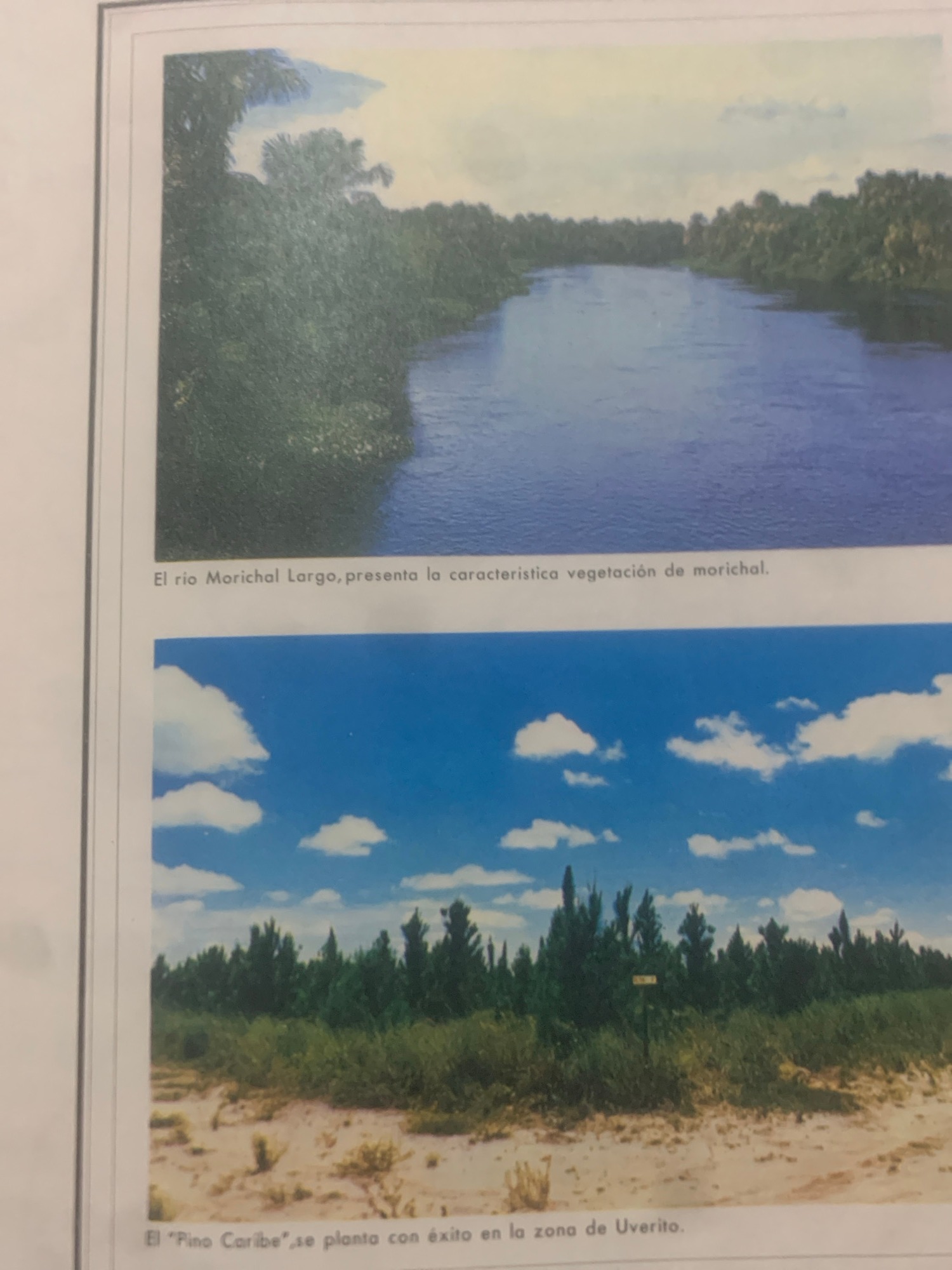
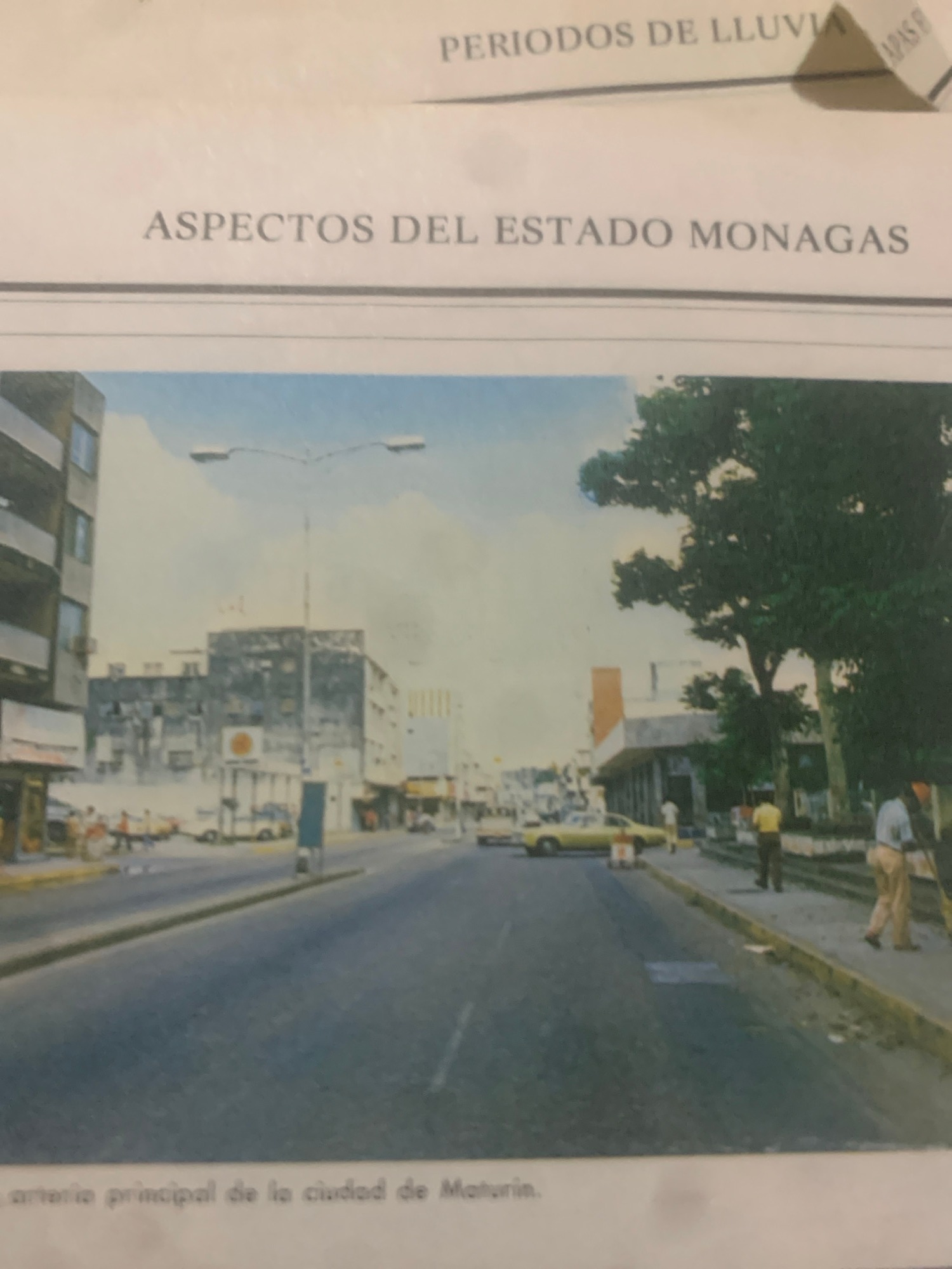
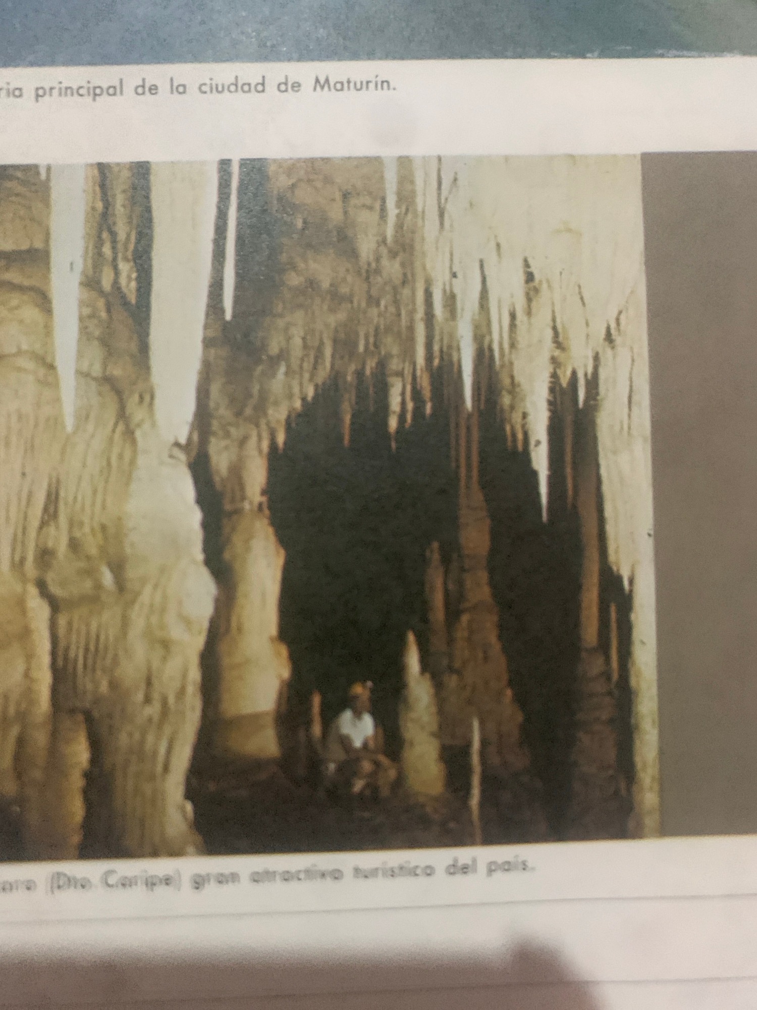
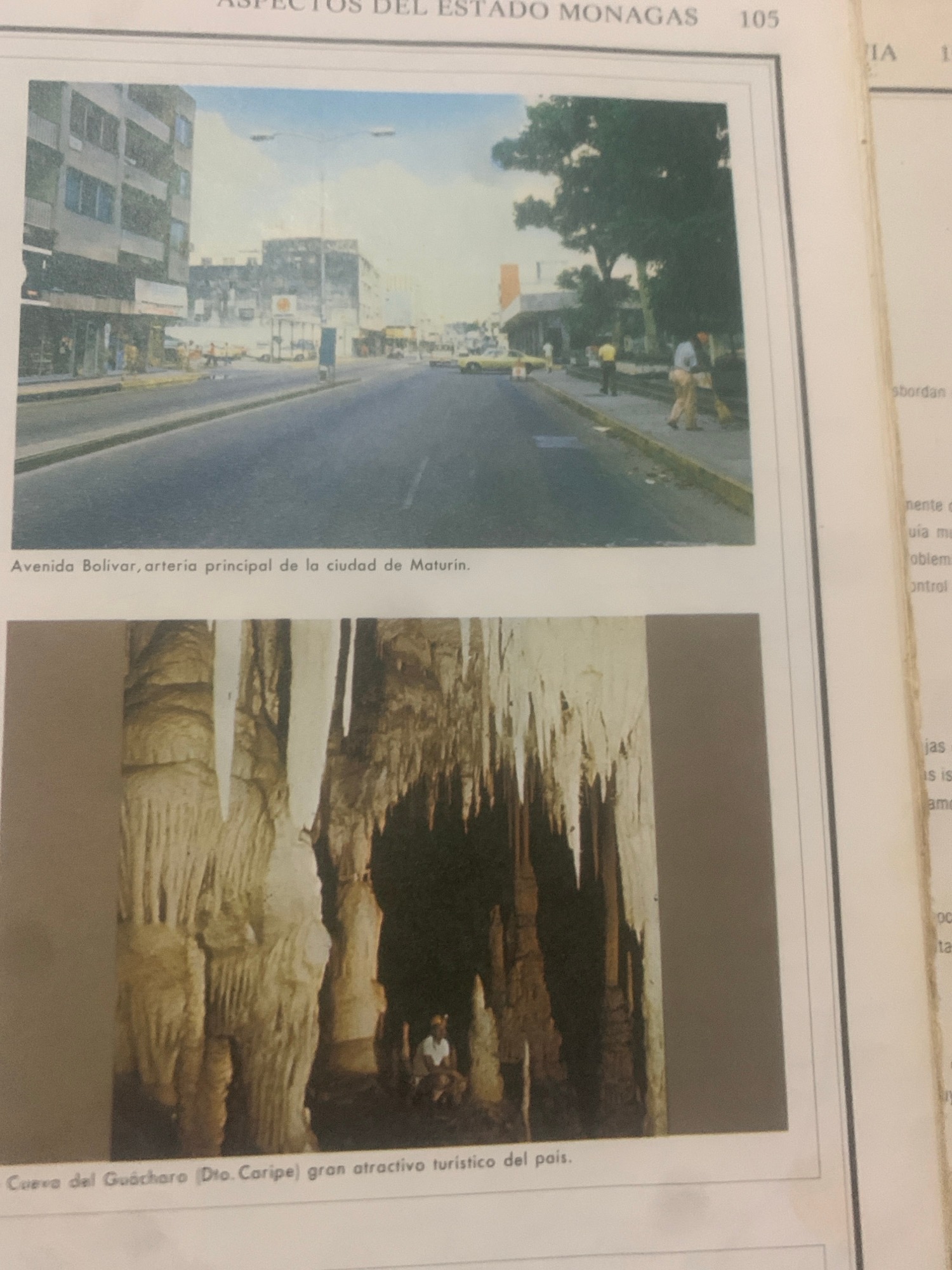
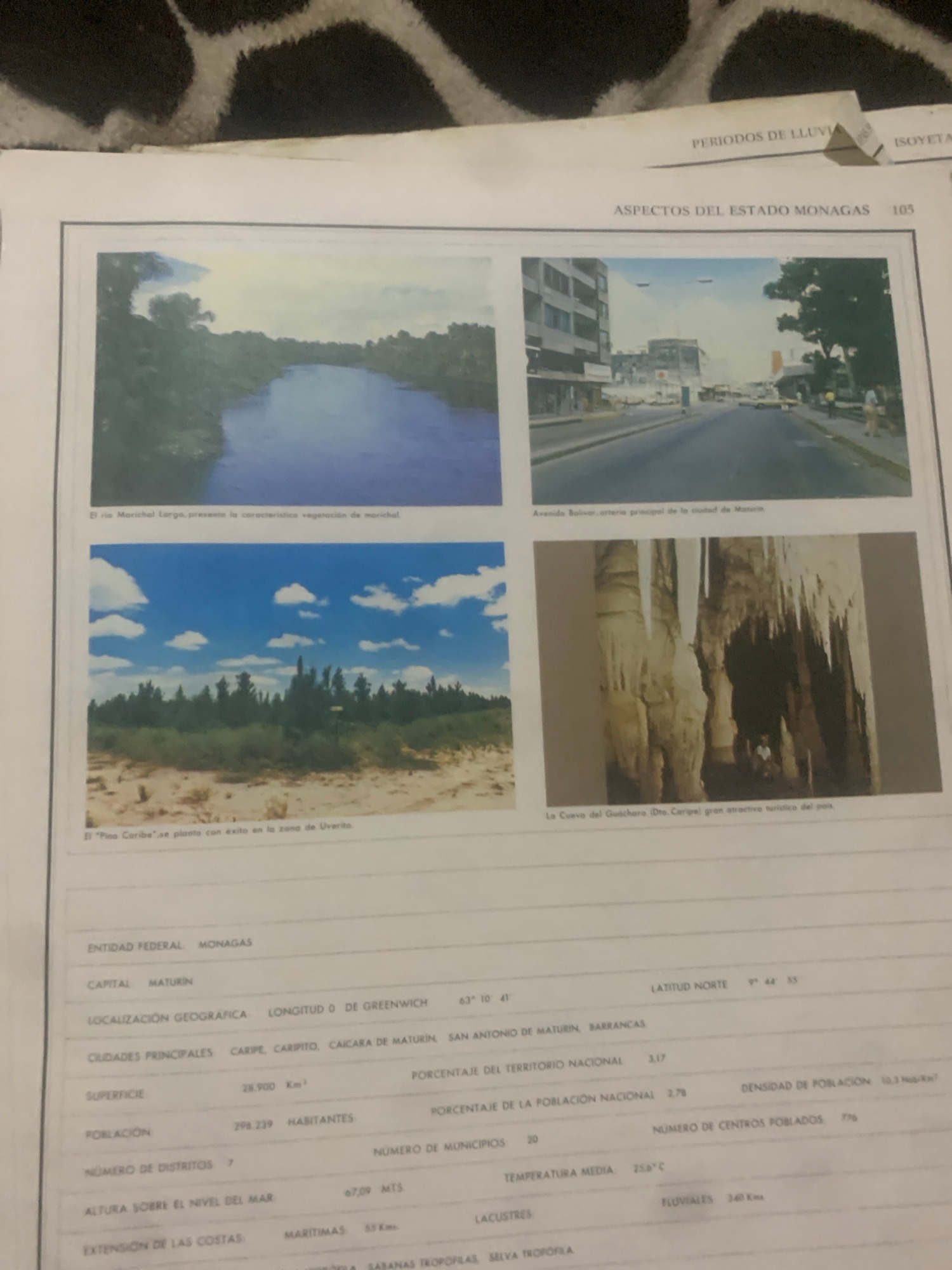
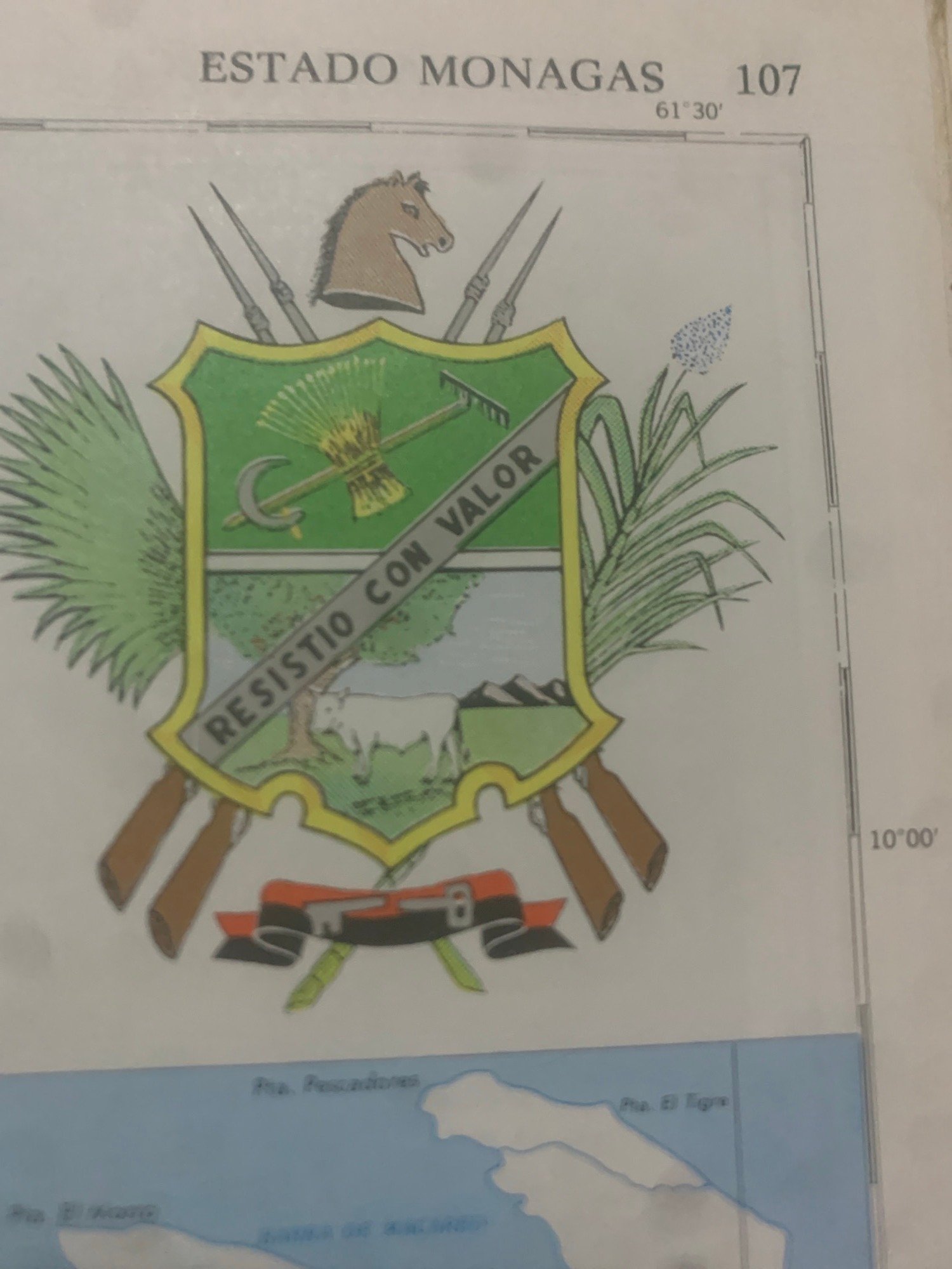
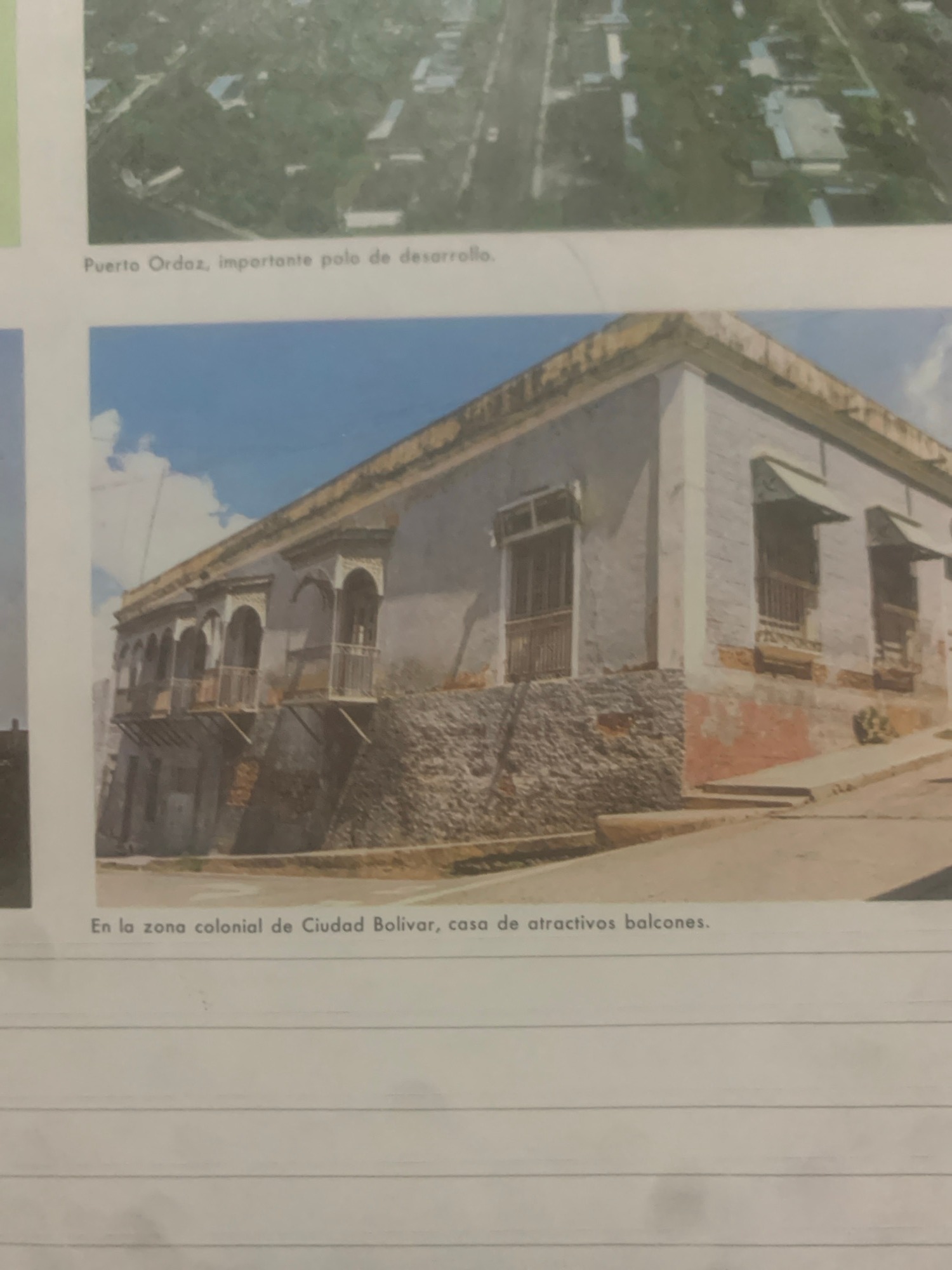
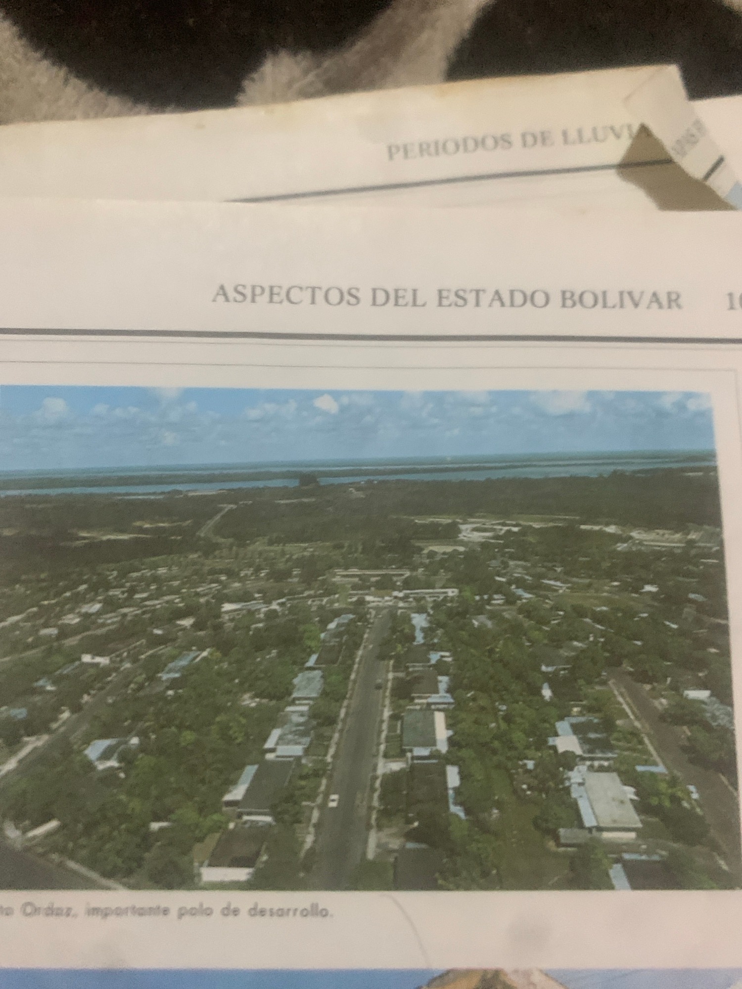
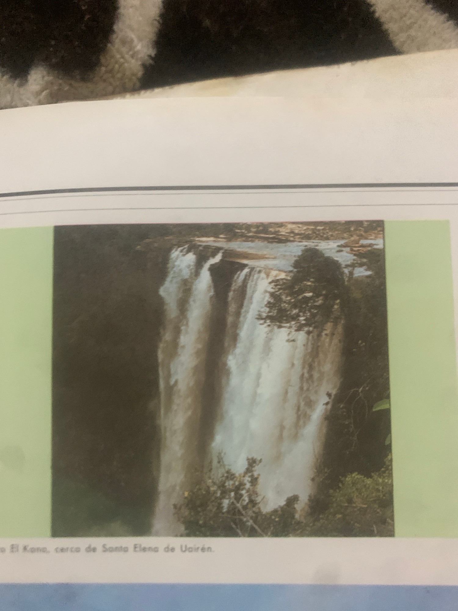
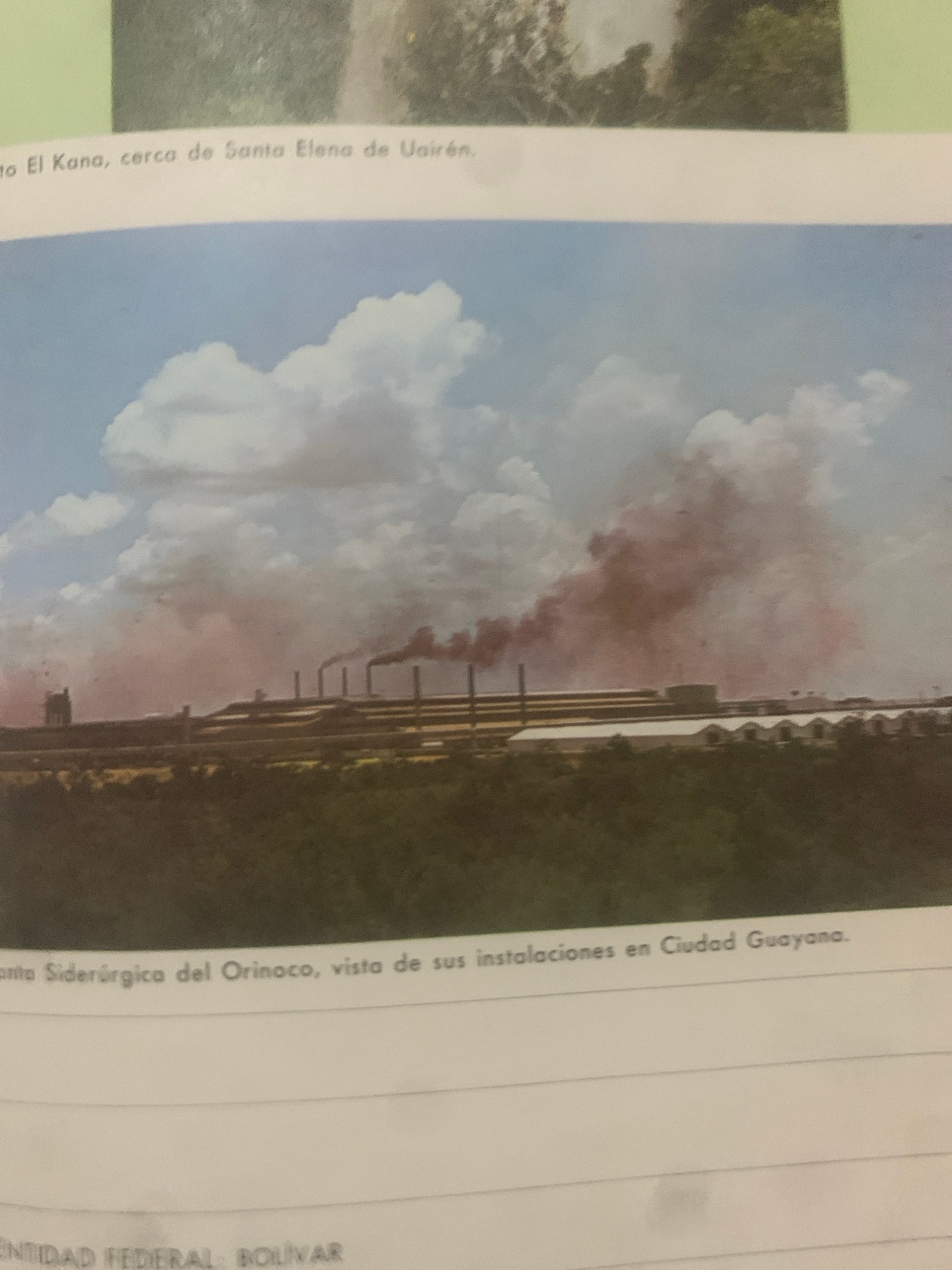
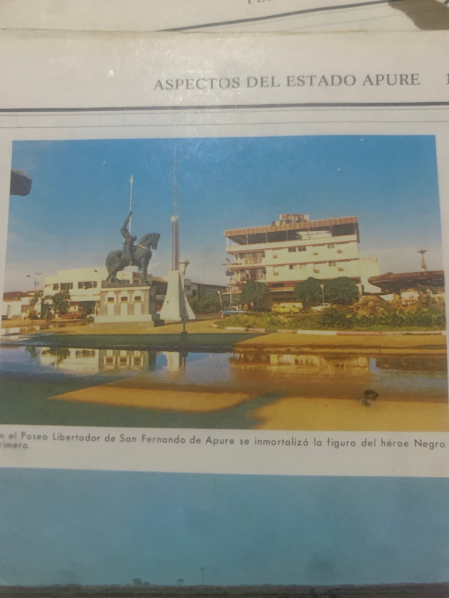
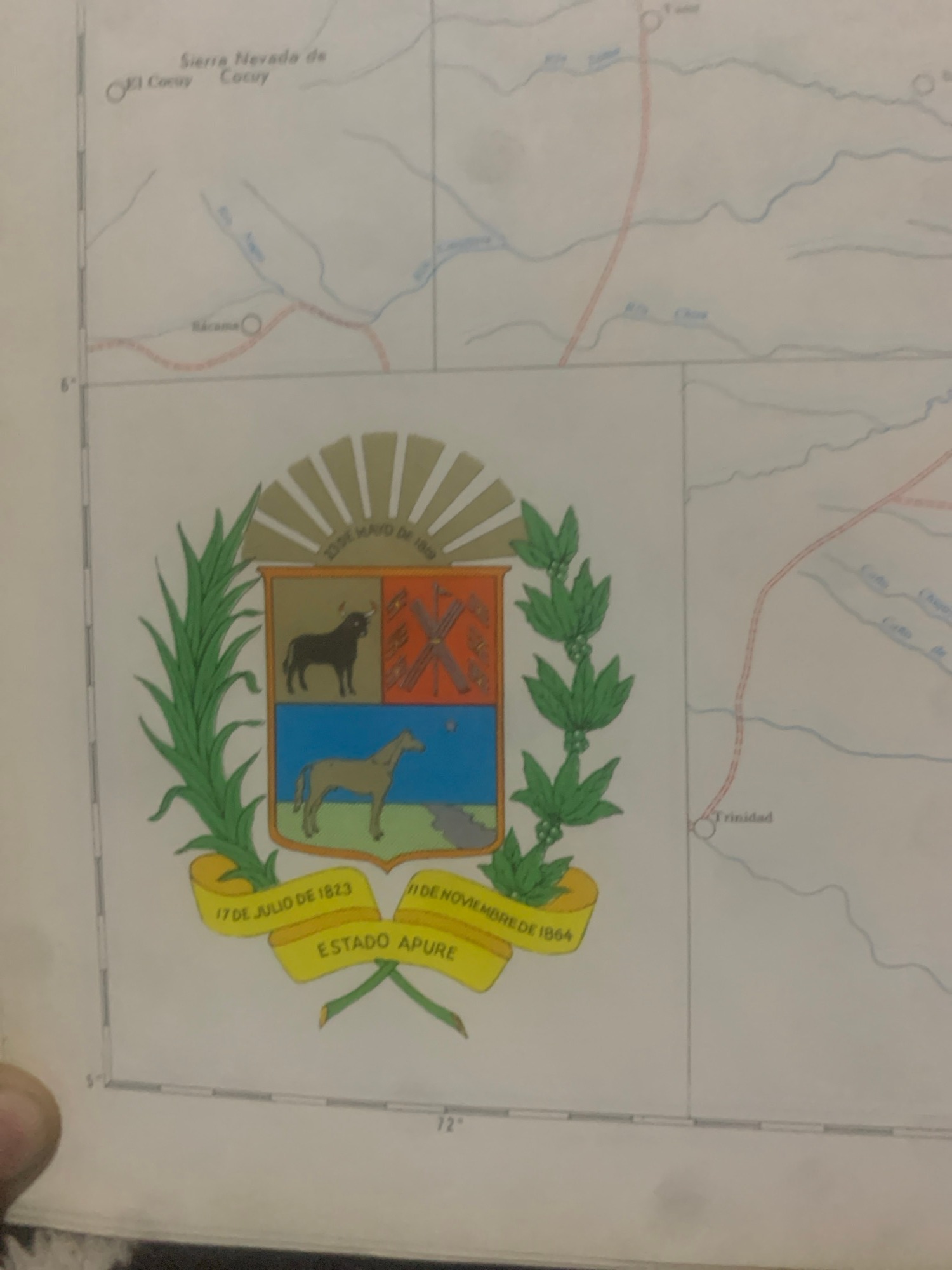
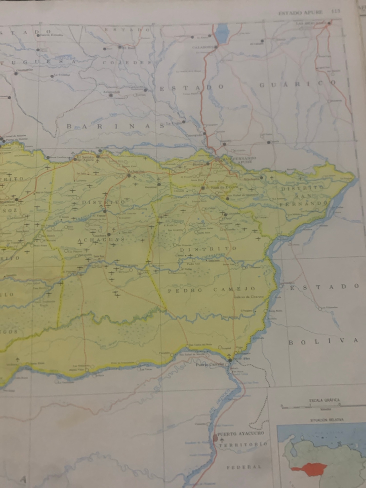
 La Tagua, Venezuela
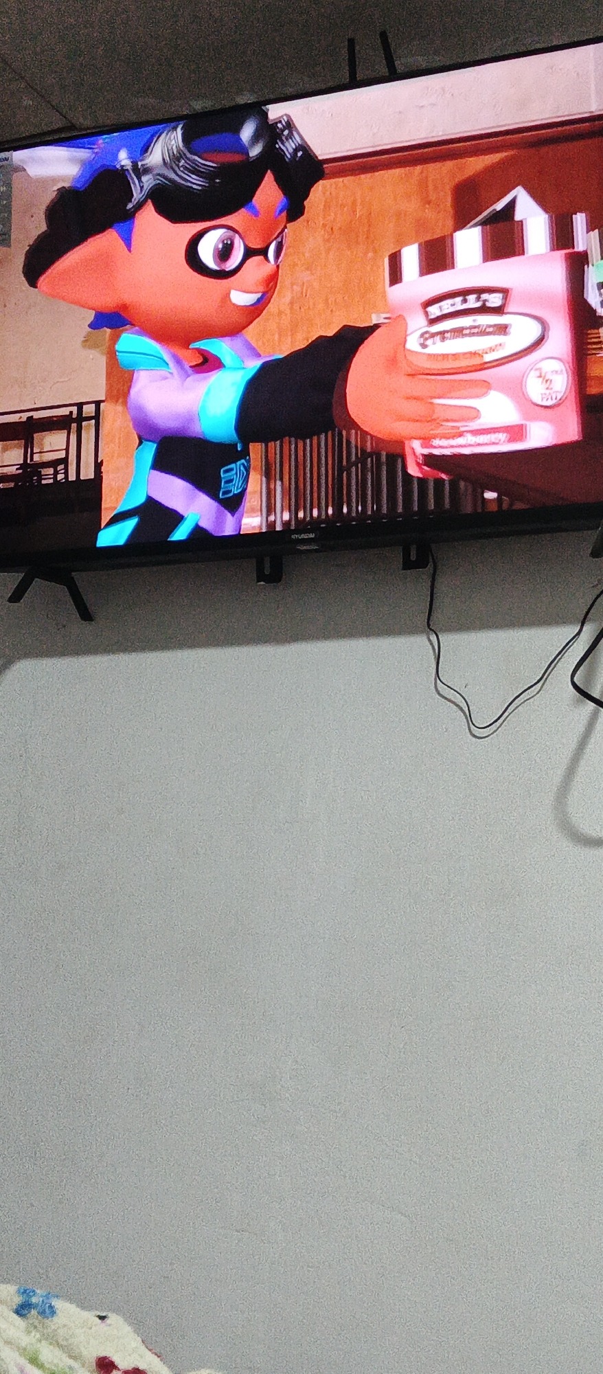
A digital rendering of an animated character, likely from a video game, is displayed on a television screen. The character is an orange-skinned being with large, circular pink-rimmed glasses, black hair styled with blue accents, and a black visor perched on its head. It is wearing a purple and blue outfit with black sleeves. The character is holding a pink and white cylindrical container, possibly ice cream or paint, with visible text that reads "JELLY'S" and "STRAWBERRY" and "1/2 PAT." The background appears to be a stylized interior with a wooden texture. The television is mounted on a wall. The overall image suggests a bright, possibly indoor, setting due to the clarity of the display.
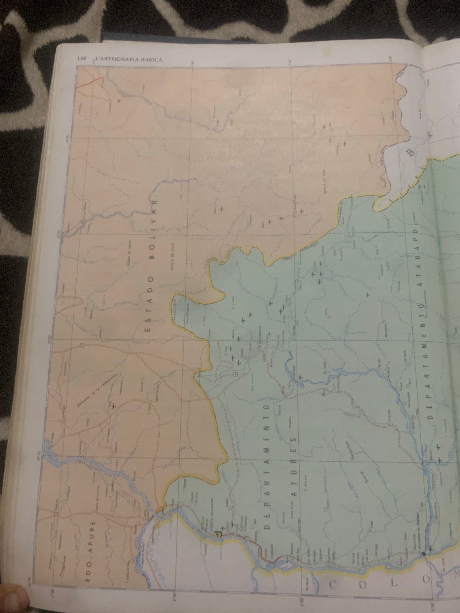
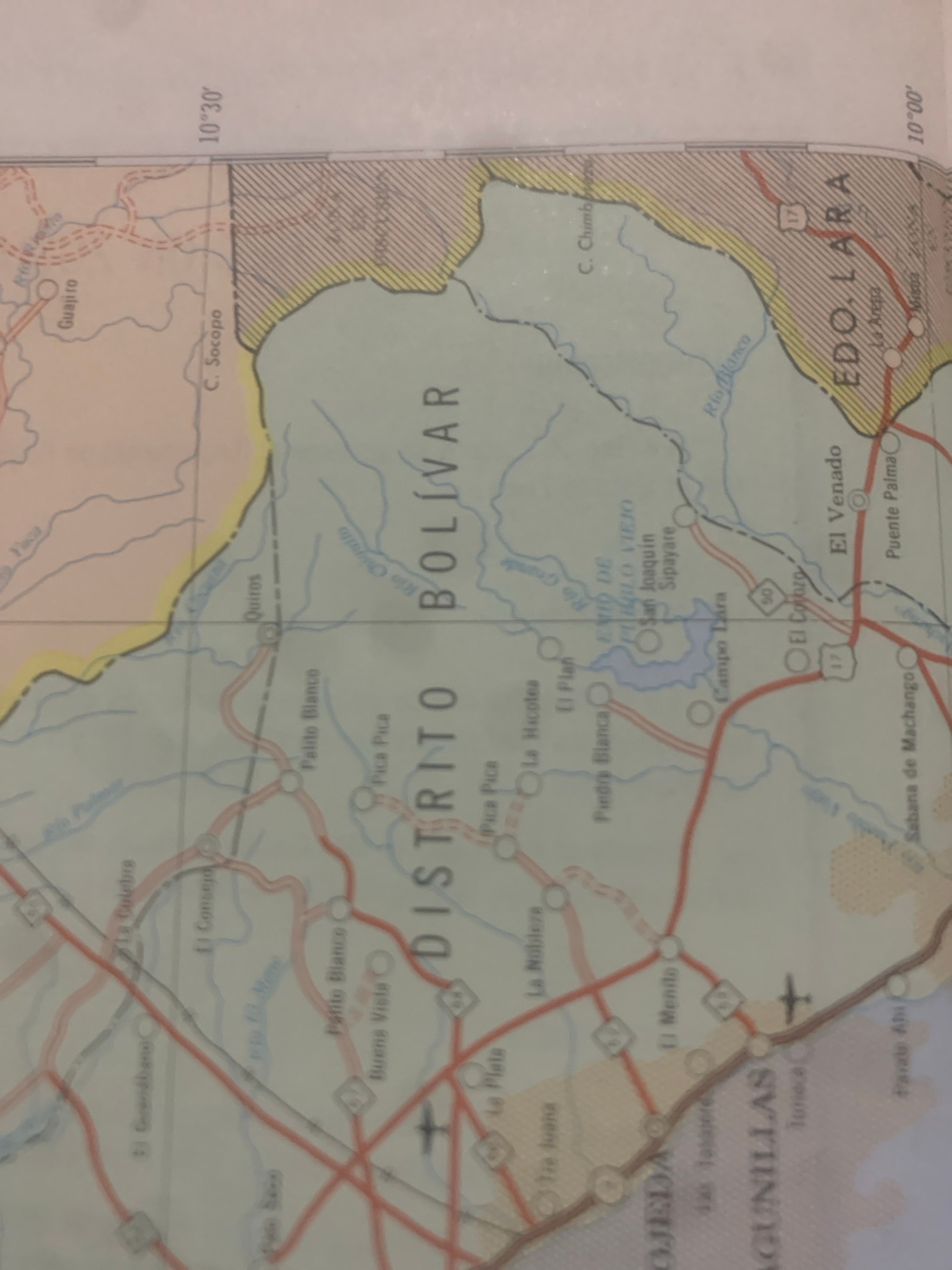
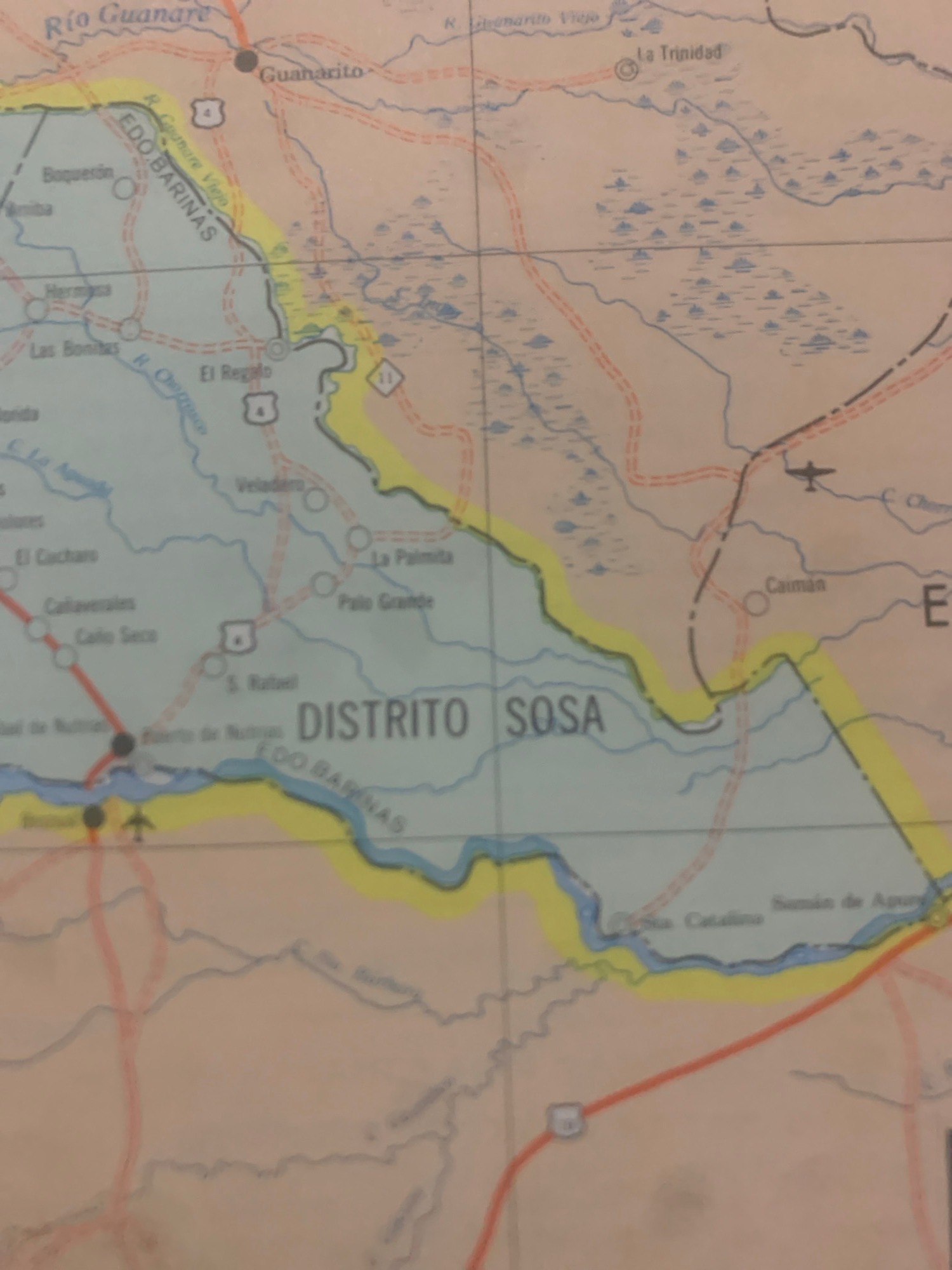
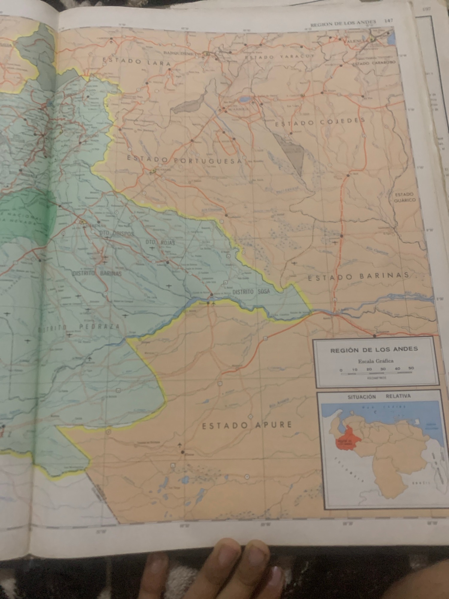
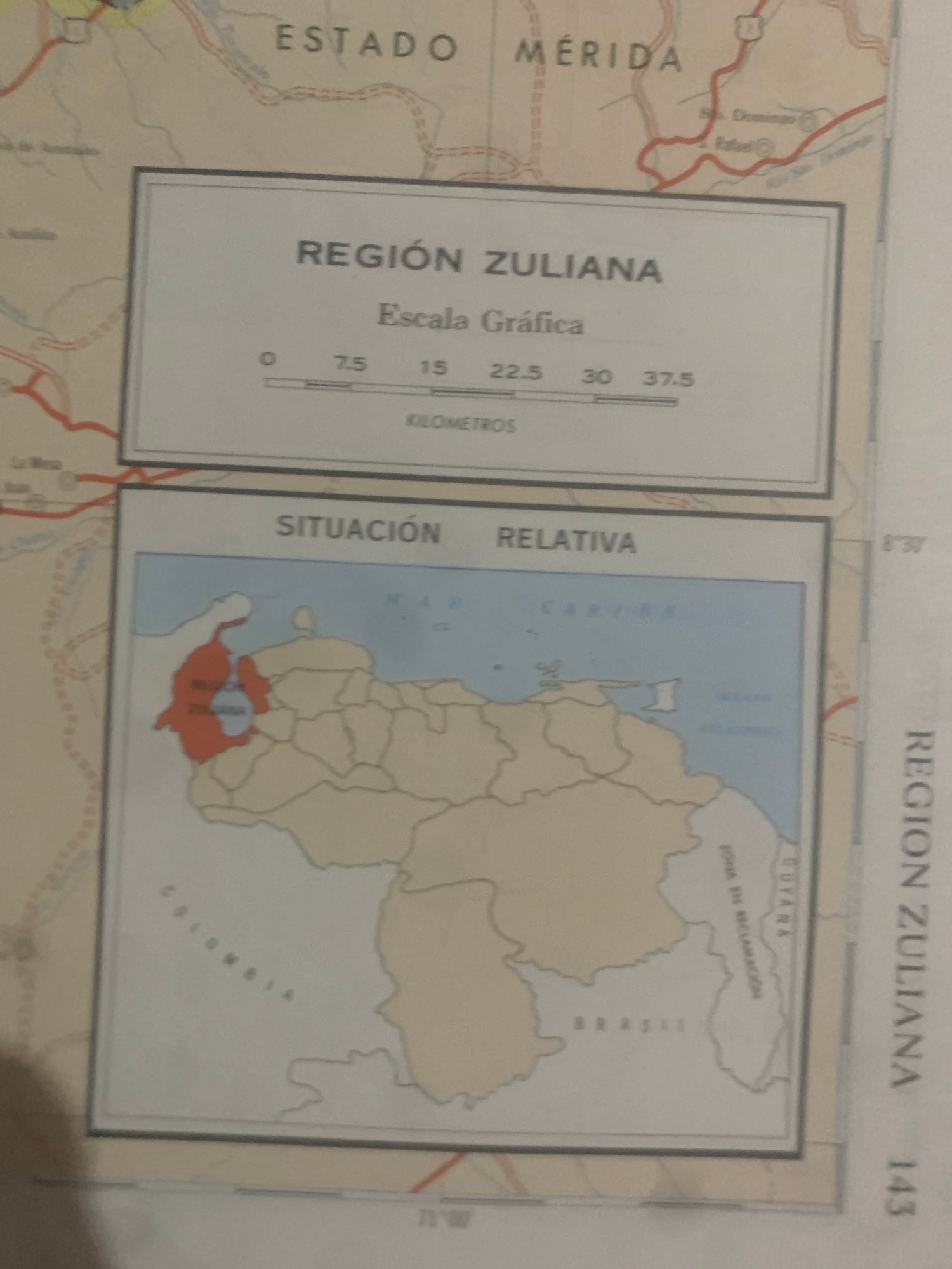
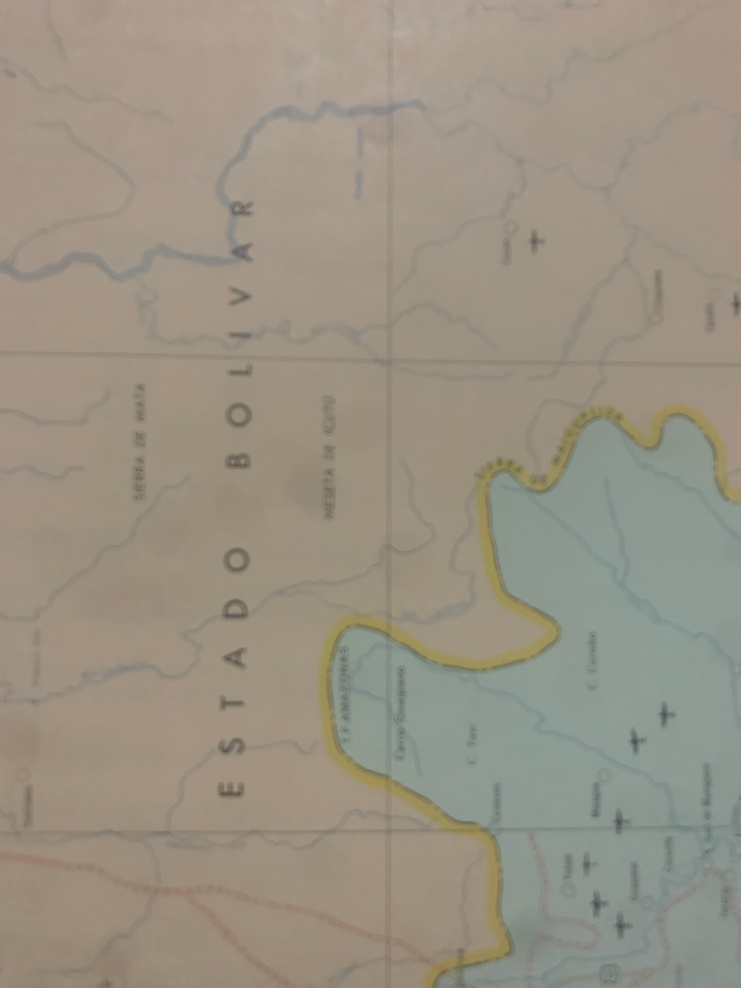
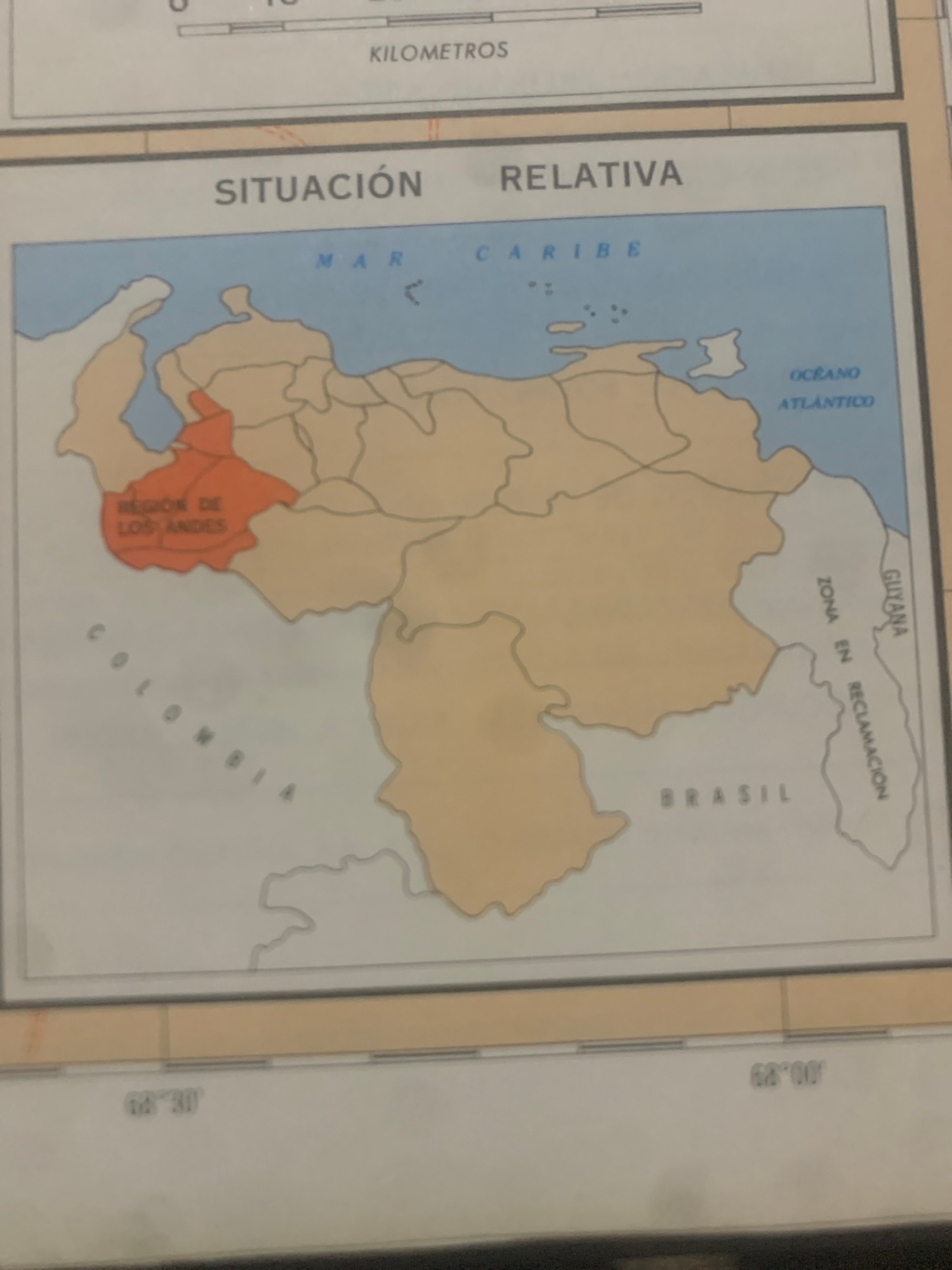
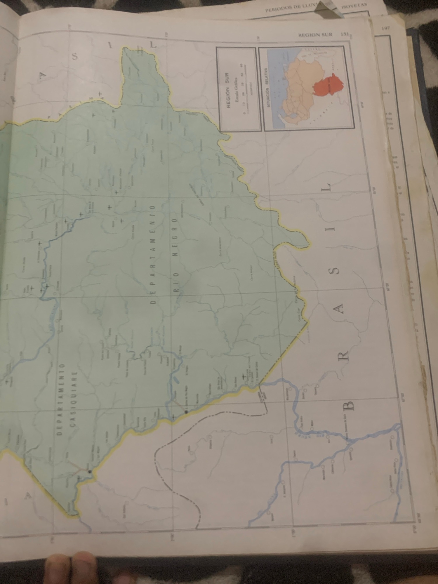
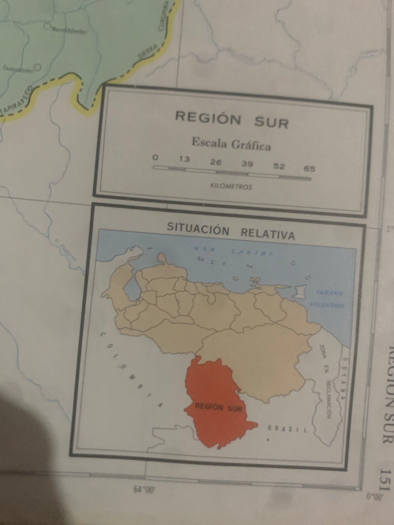
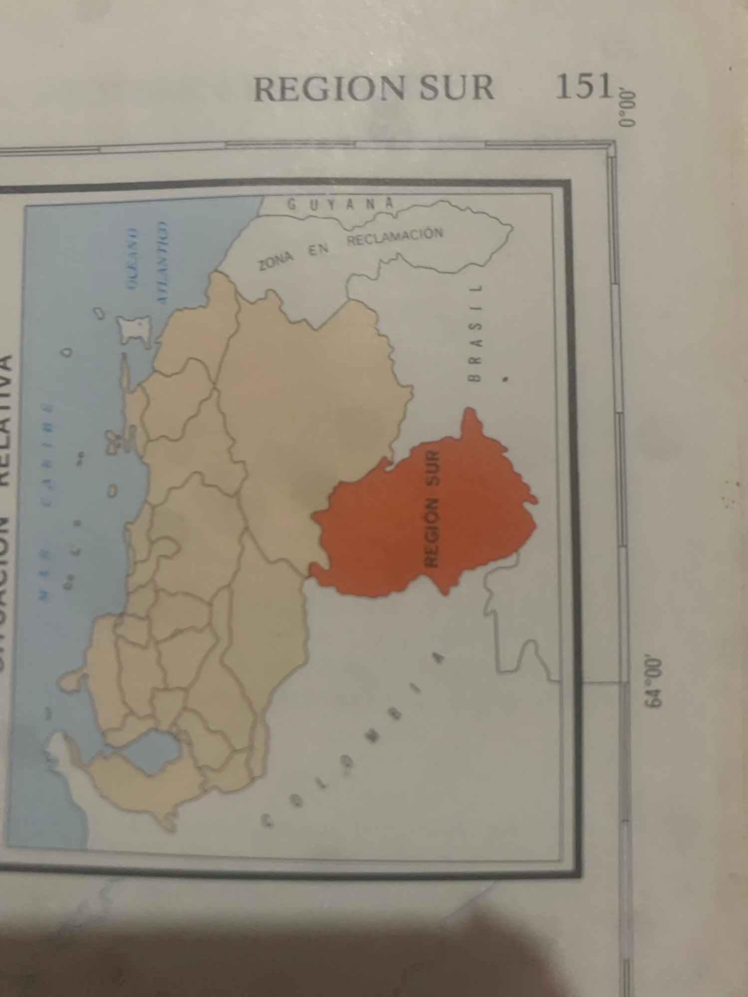
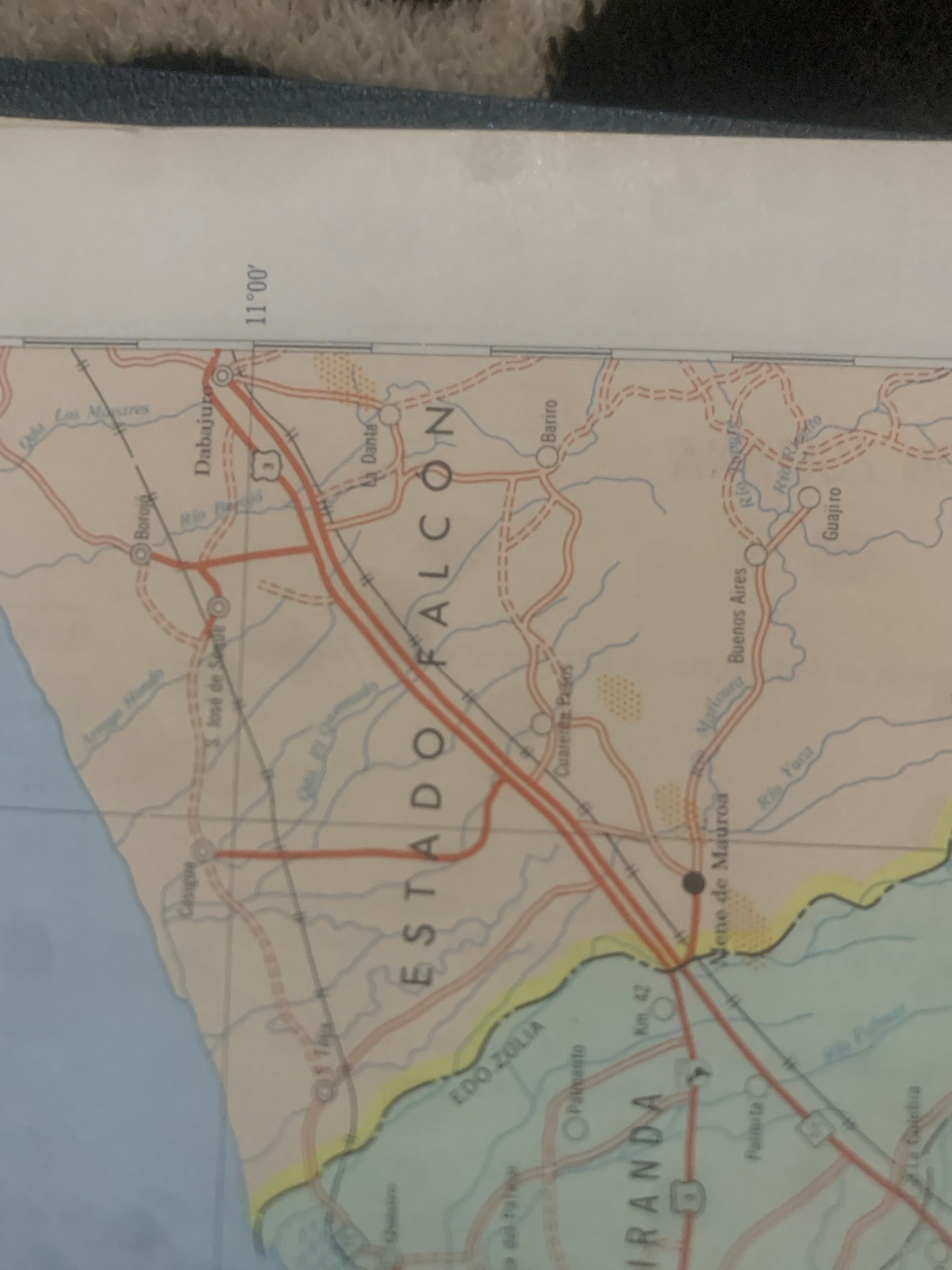
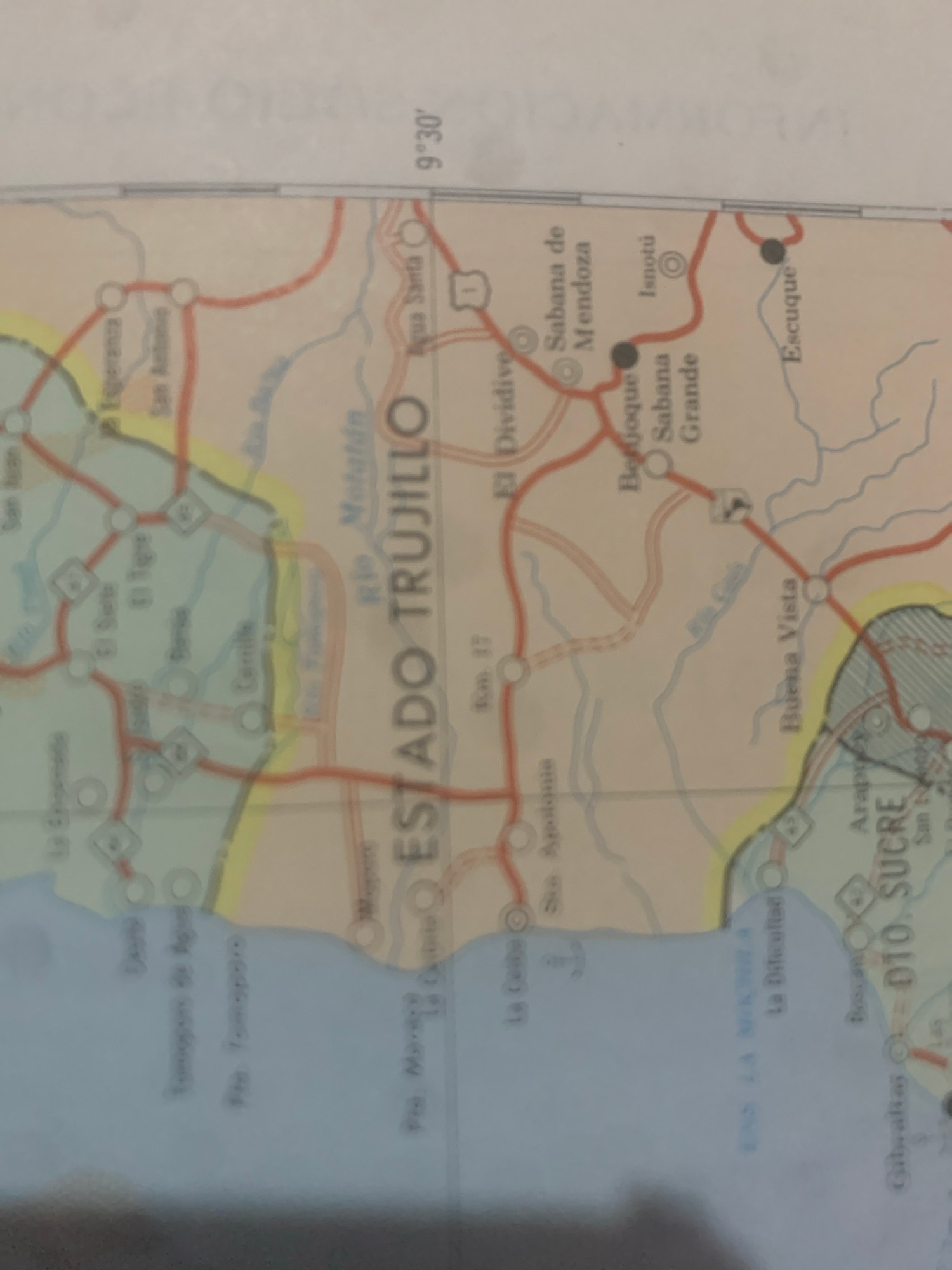
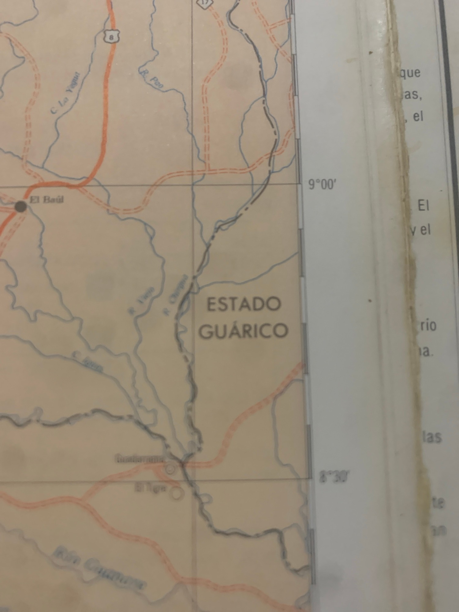
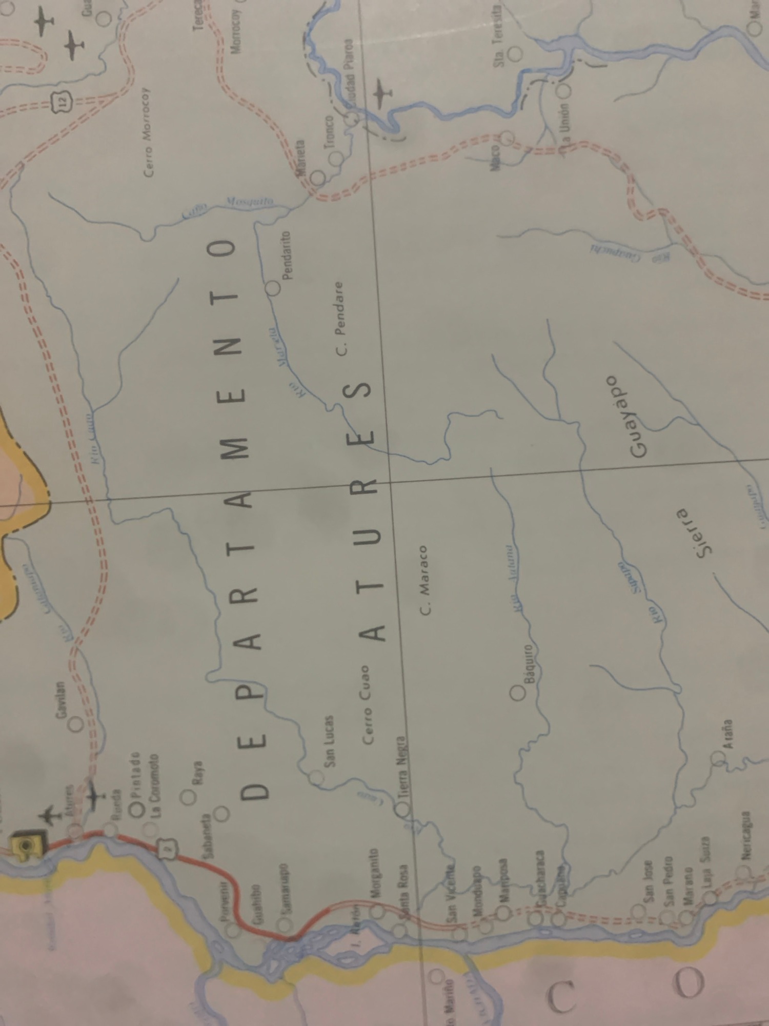
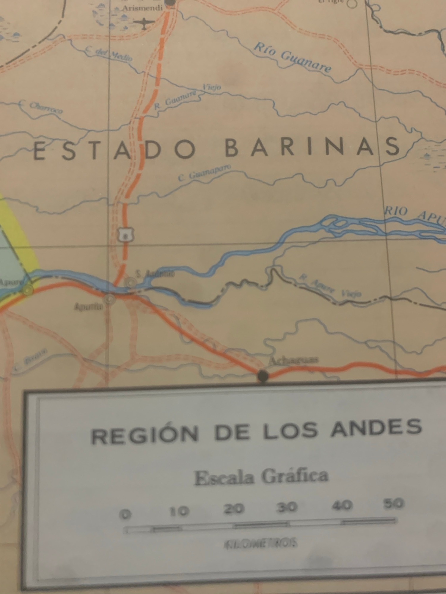
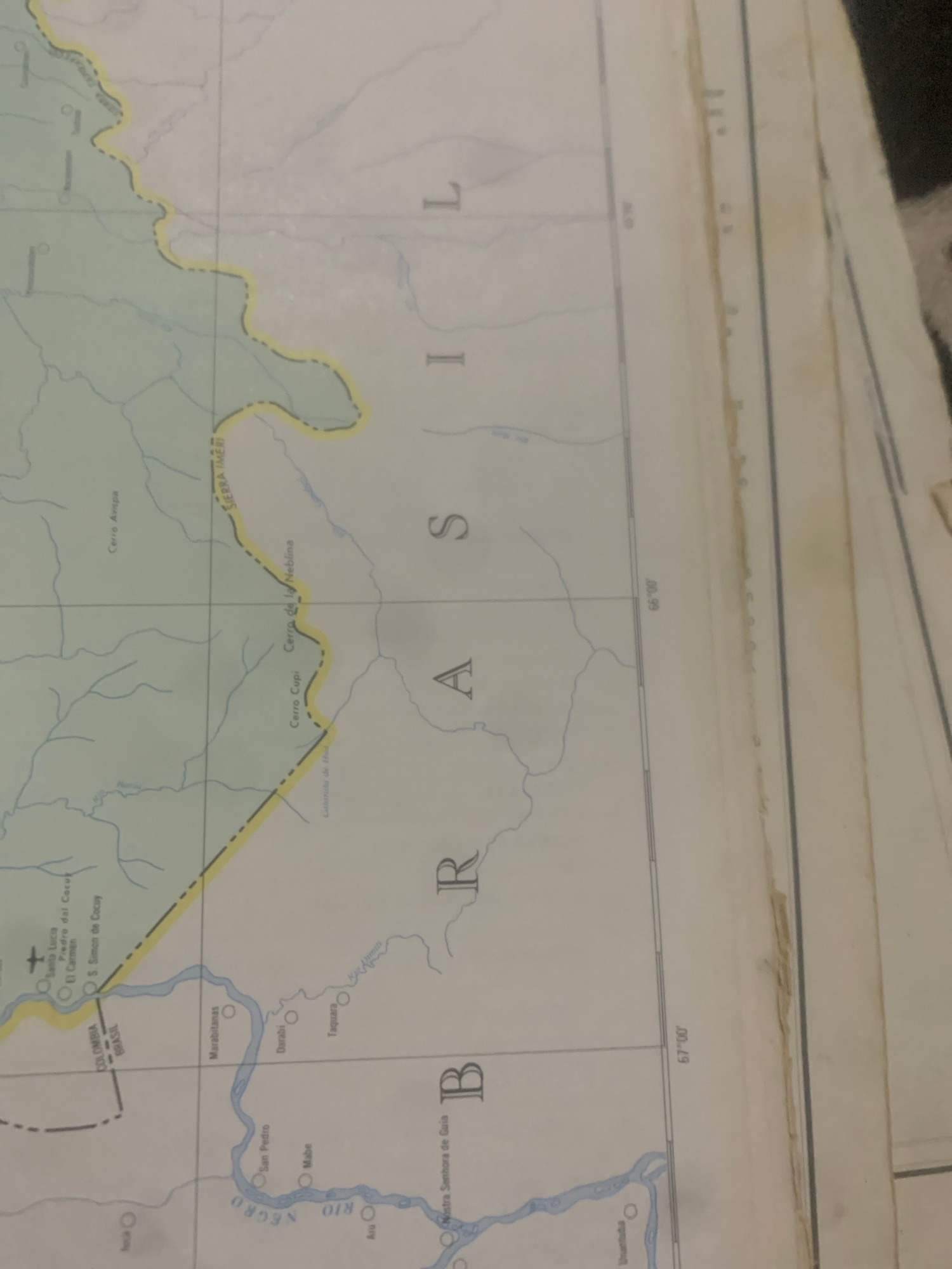
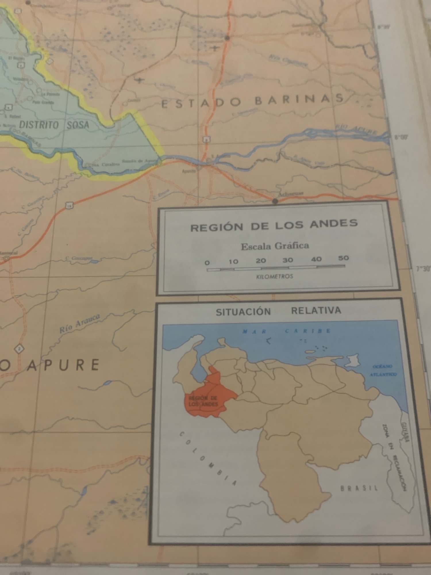
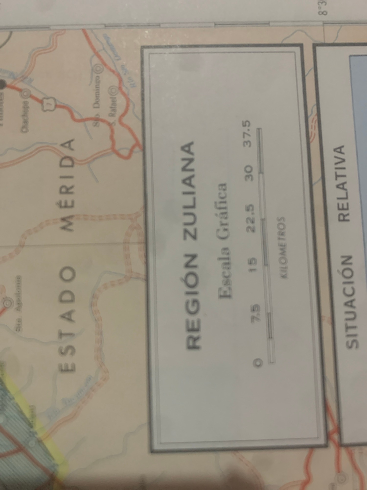
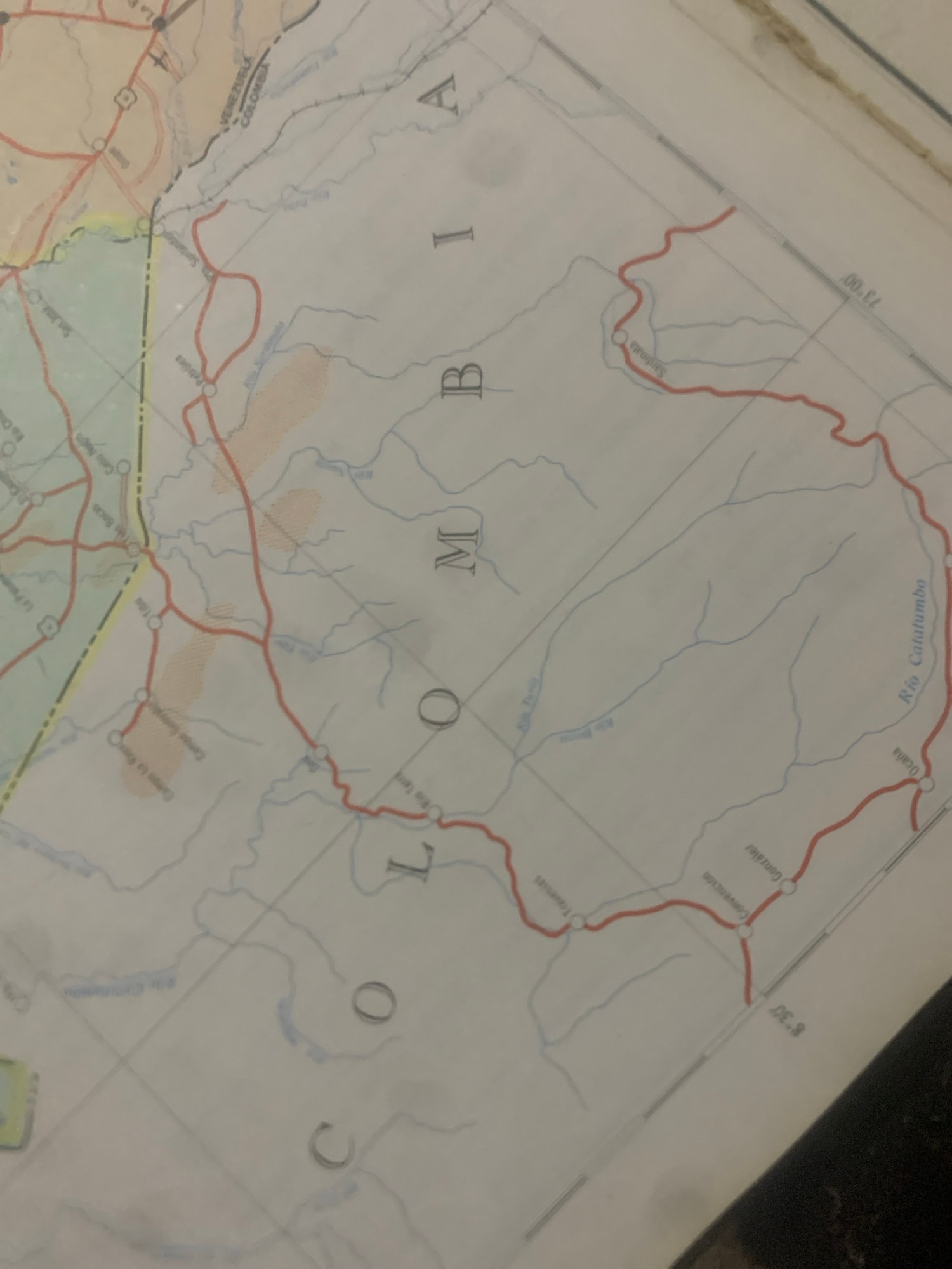
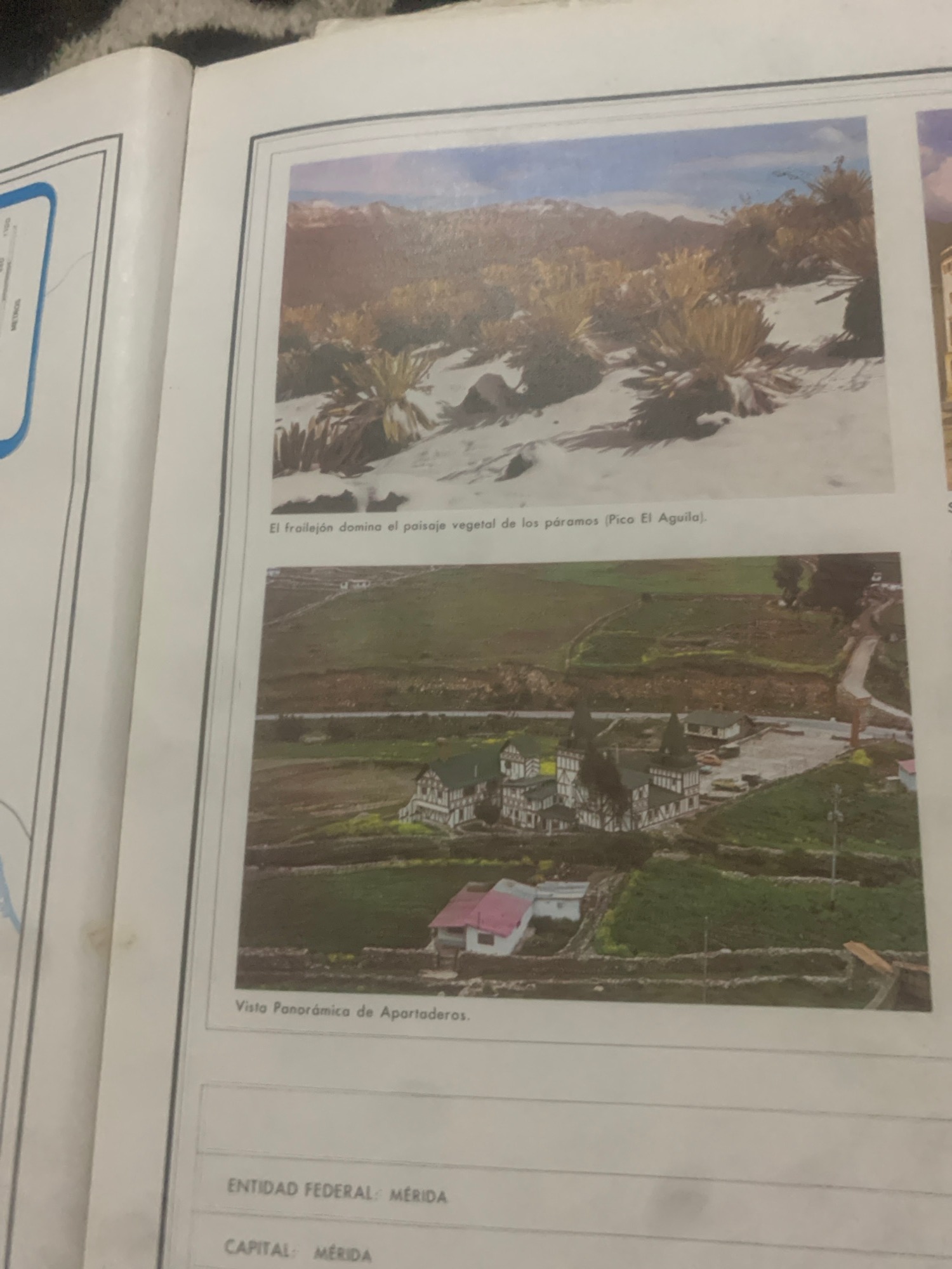
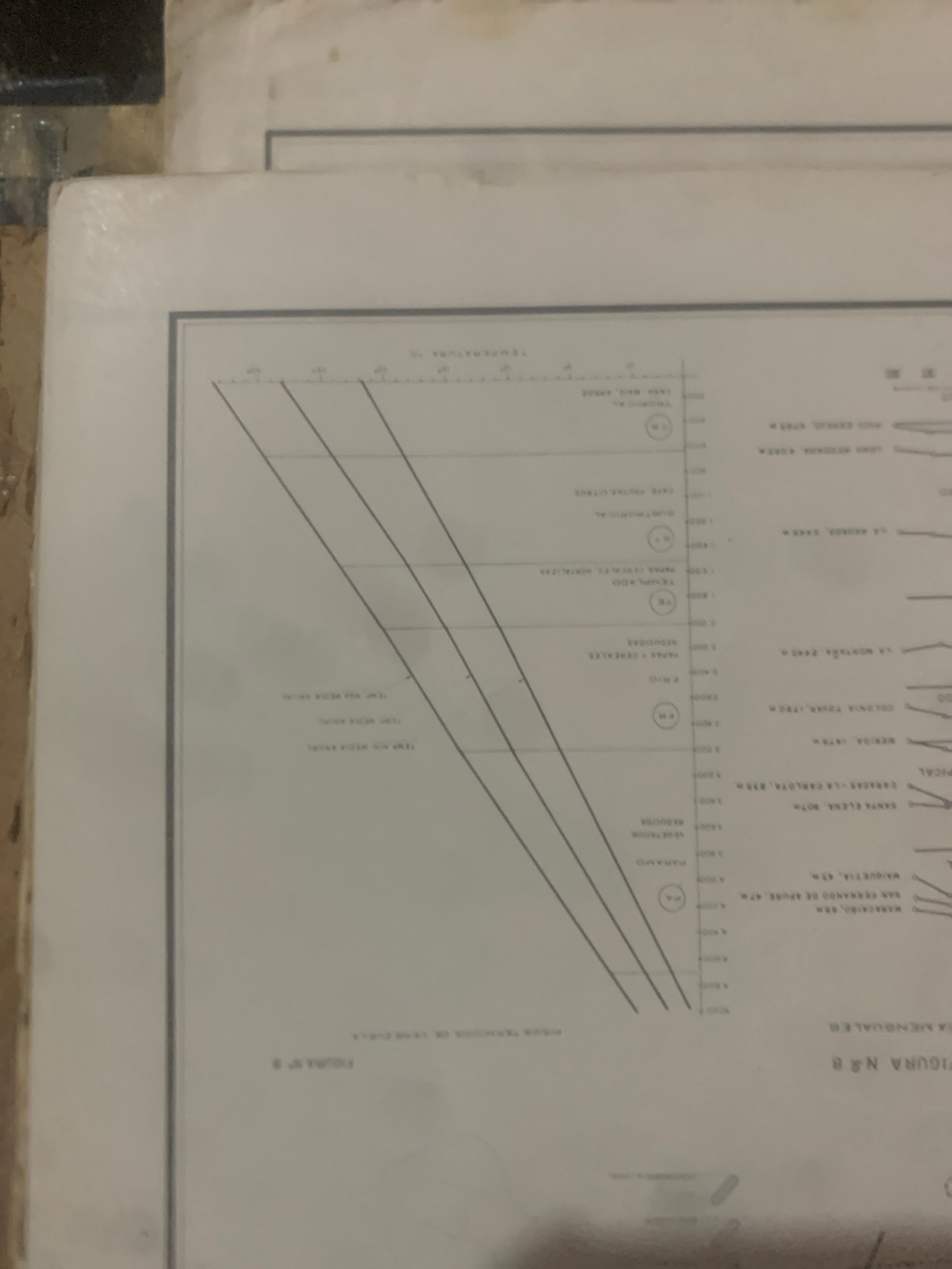
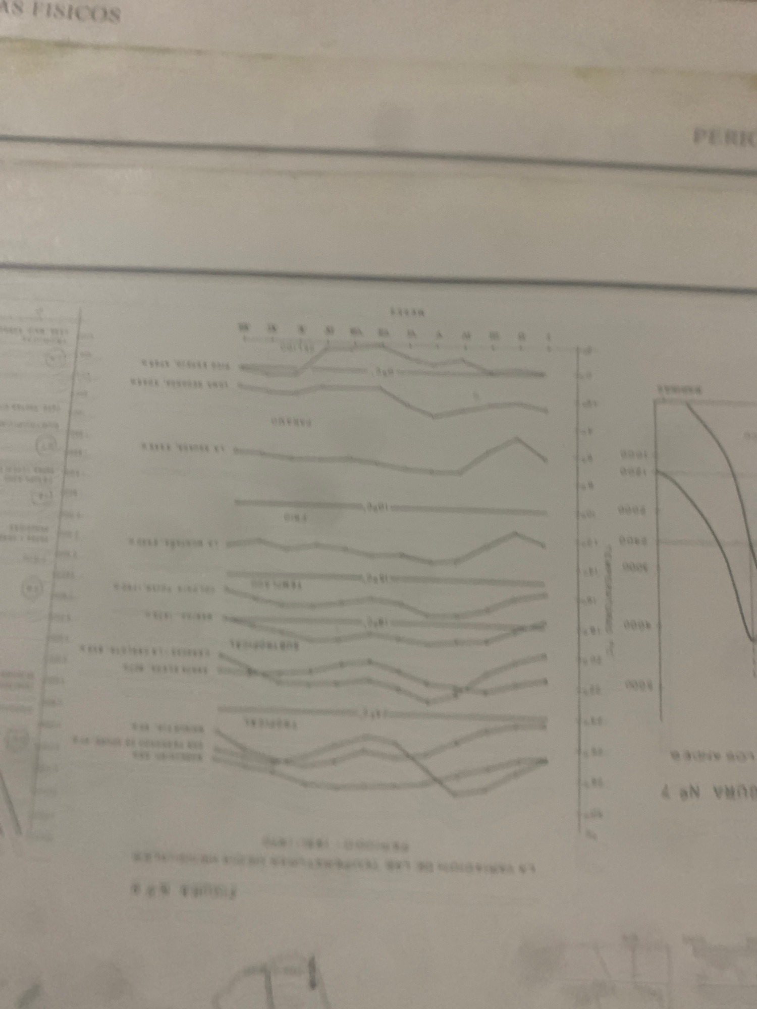
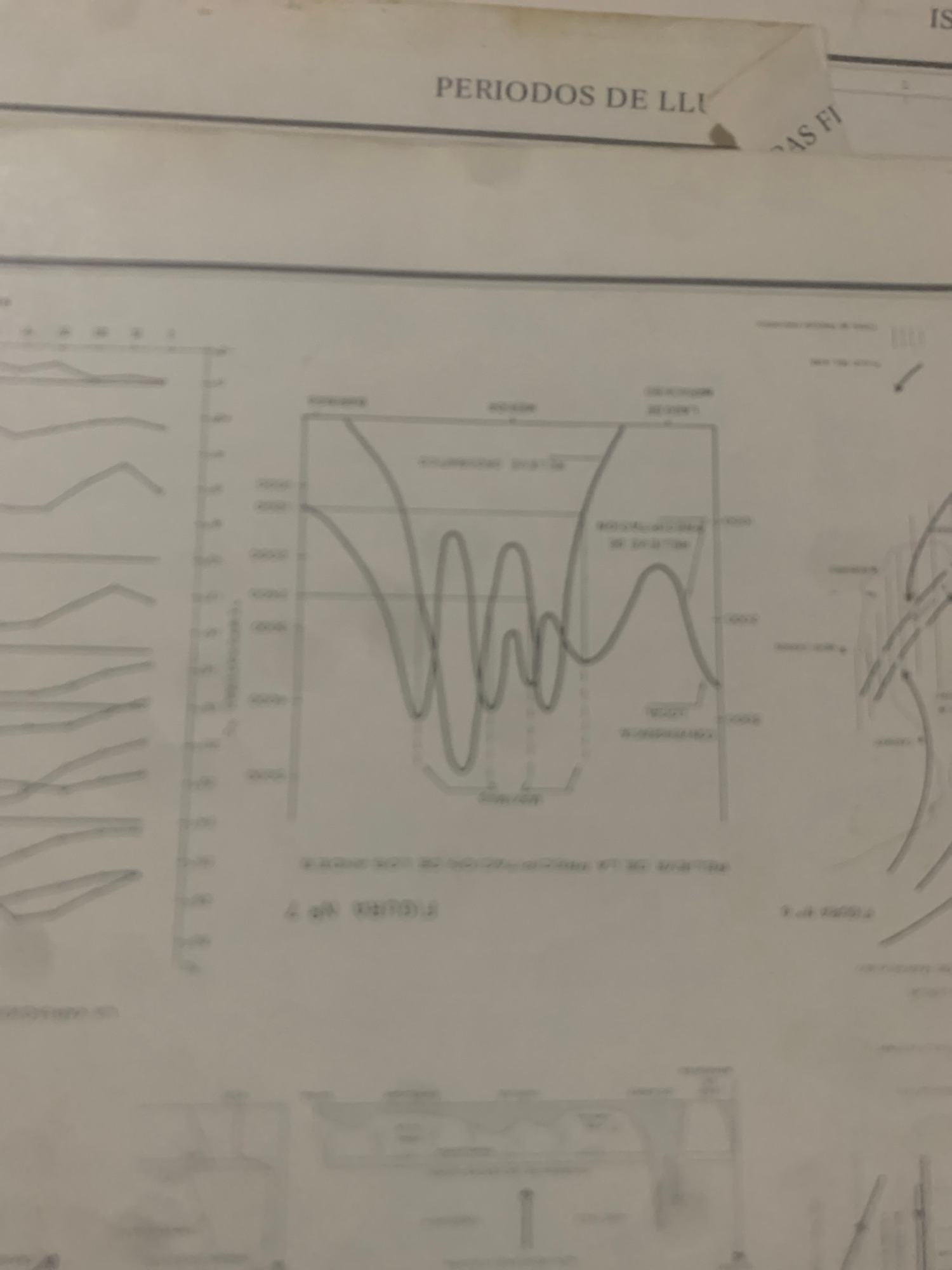
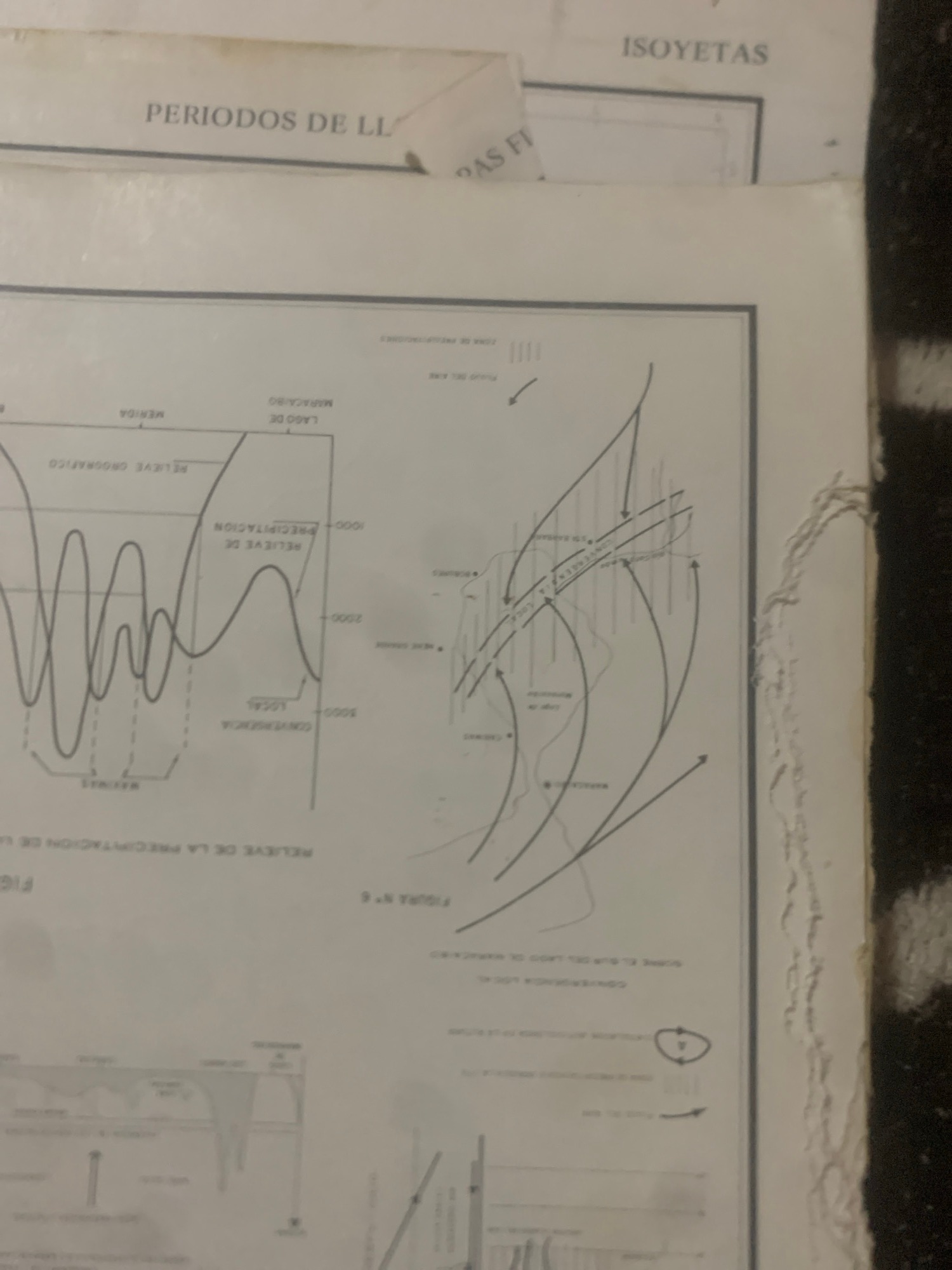
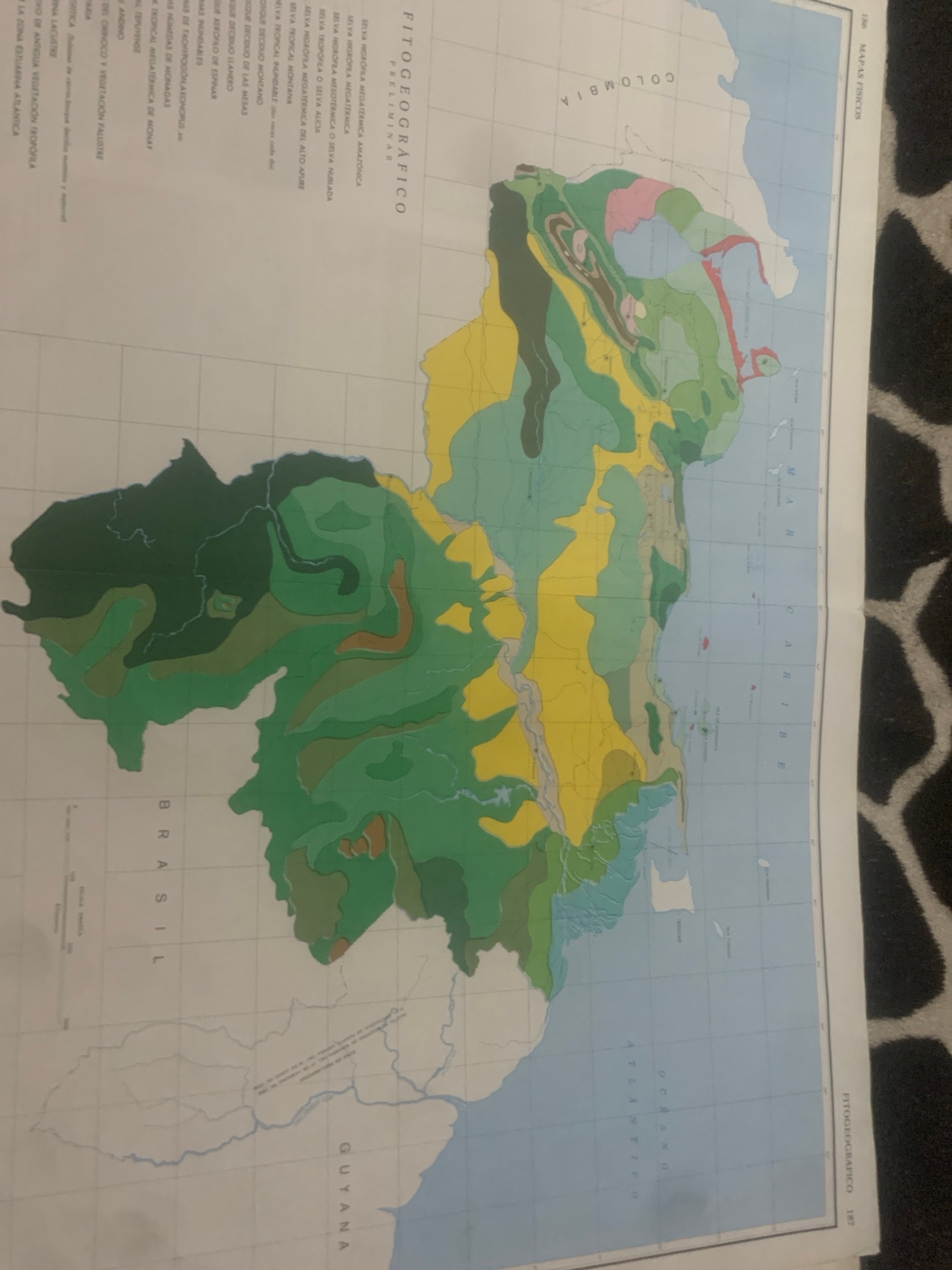
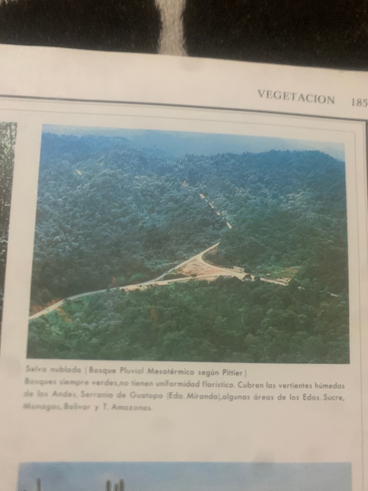
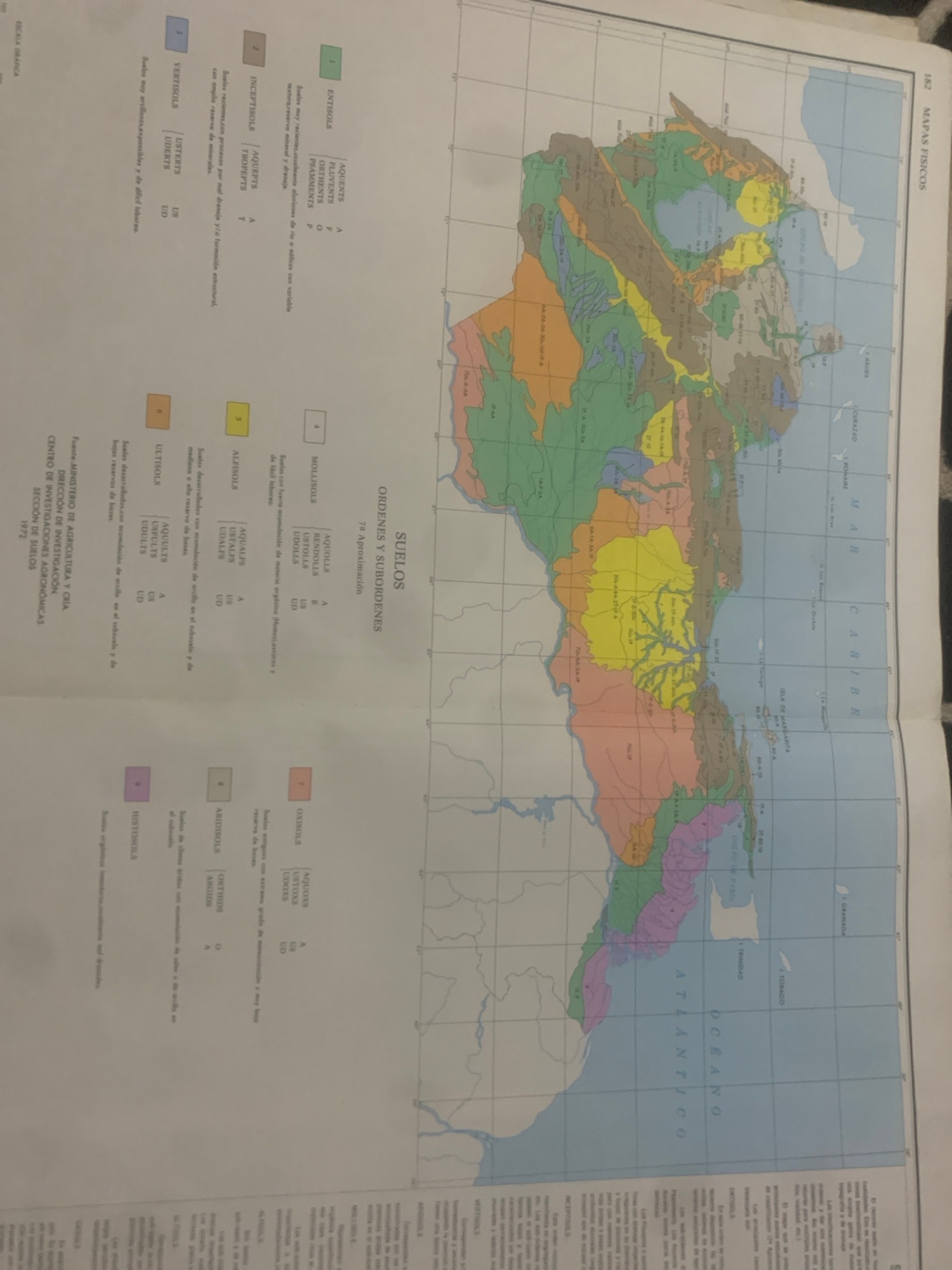
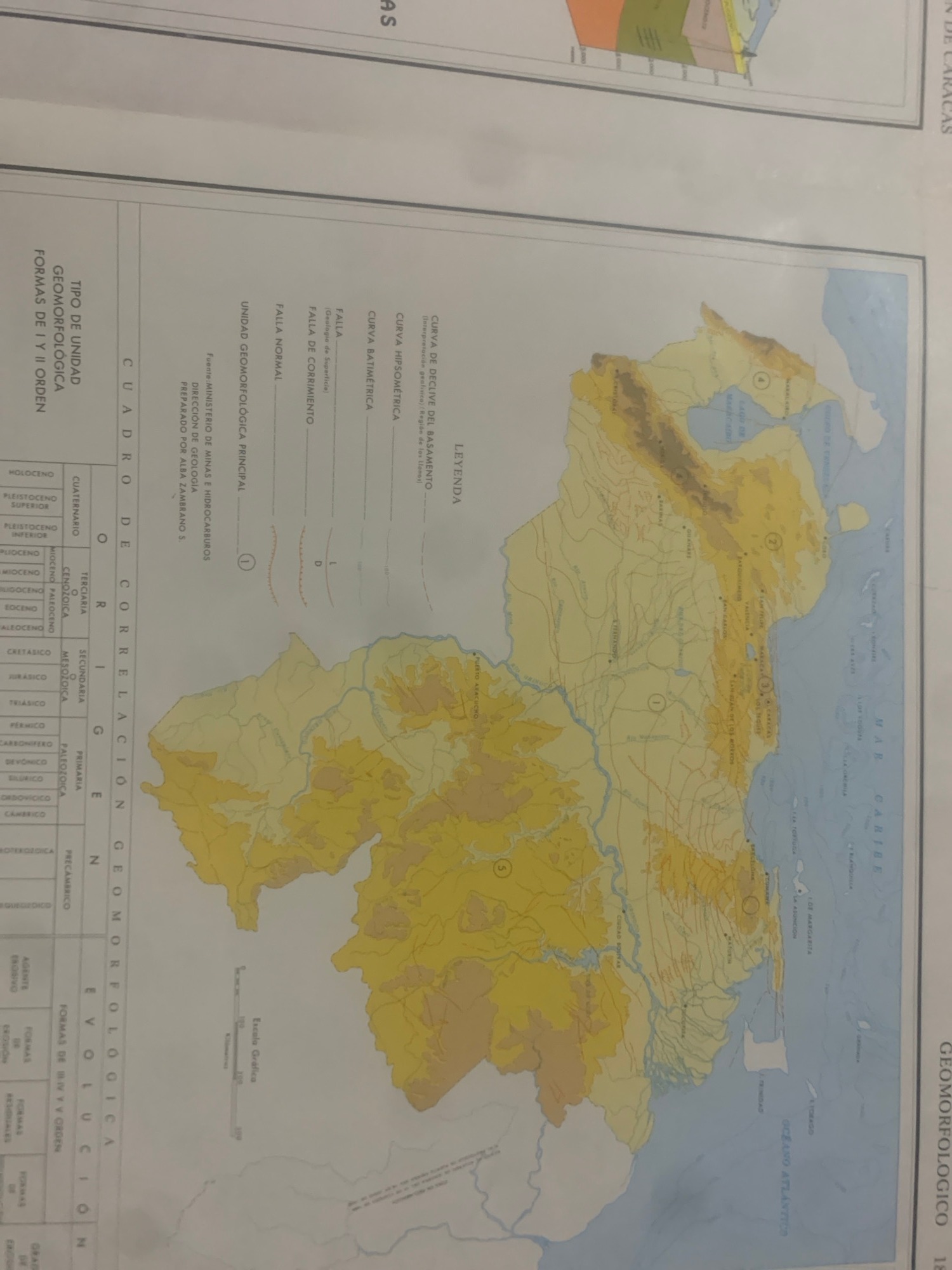
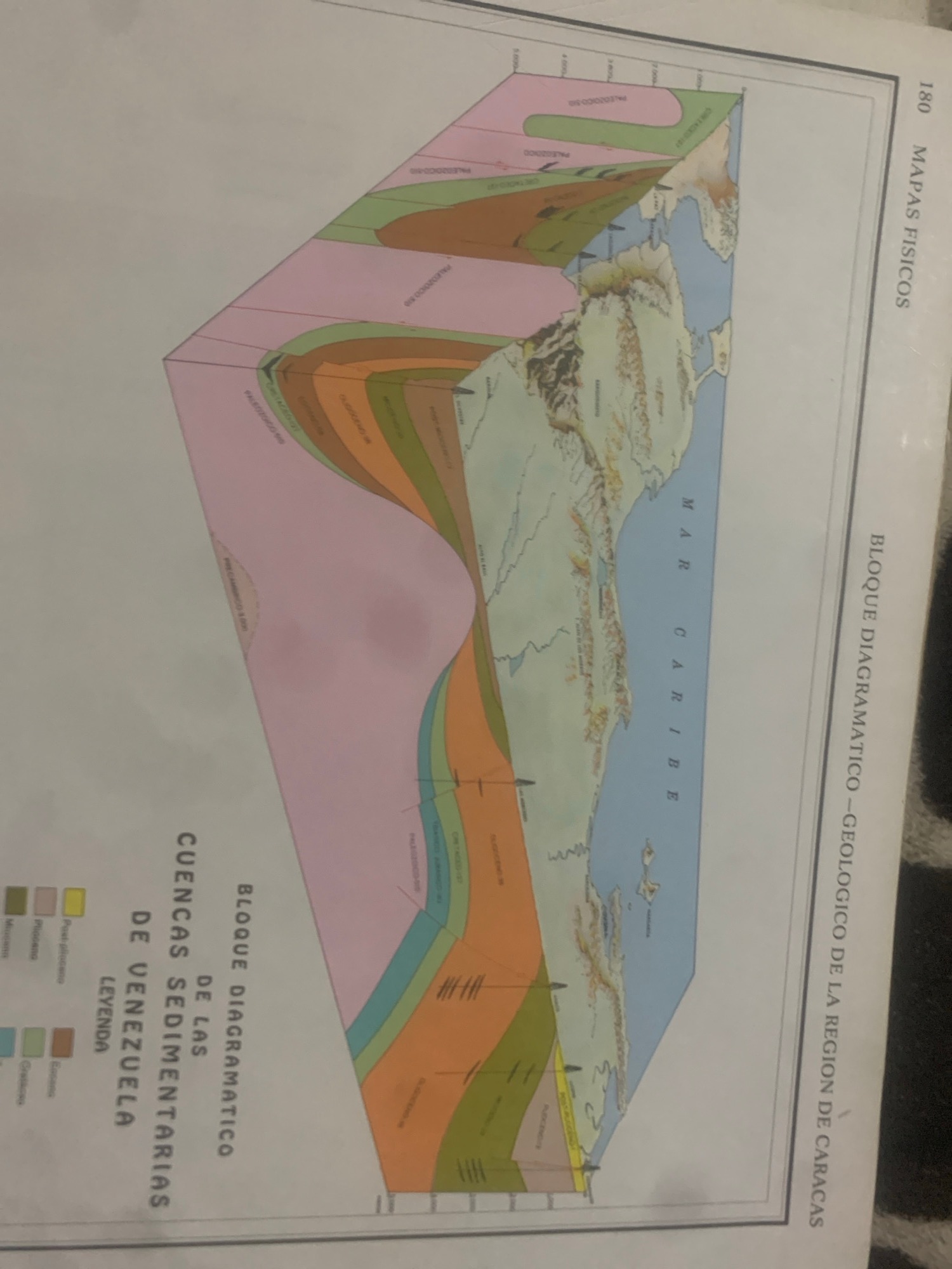
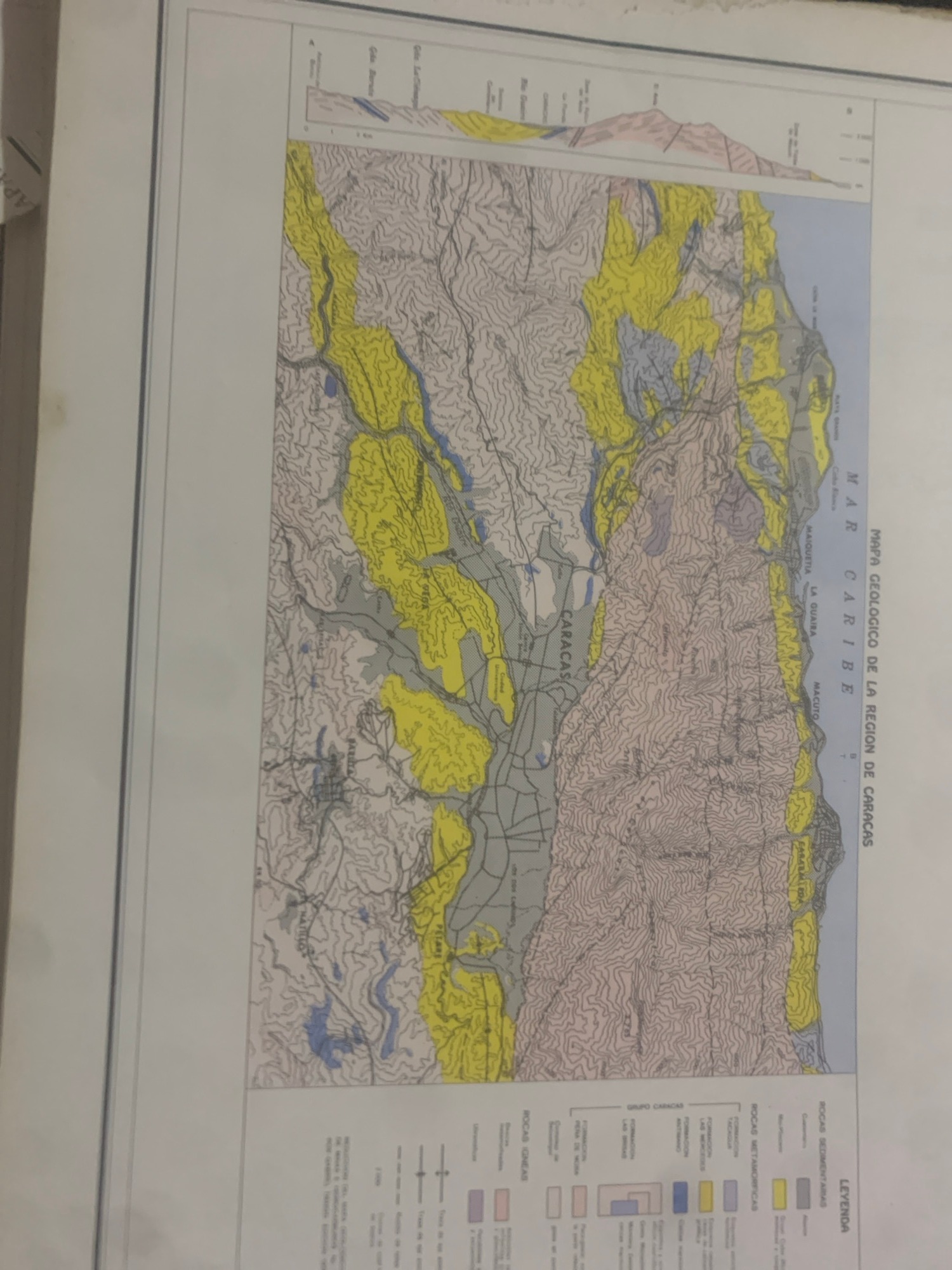
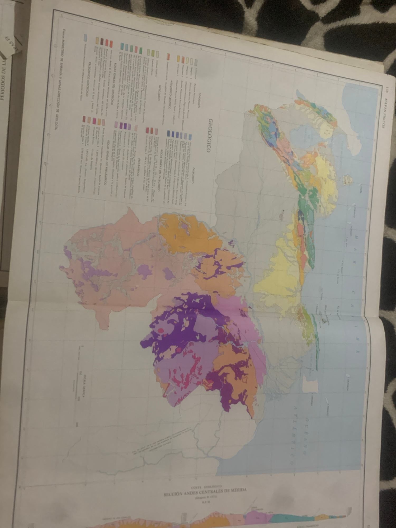
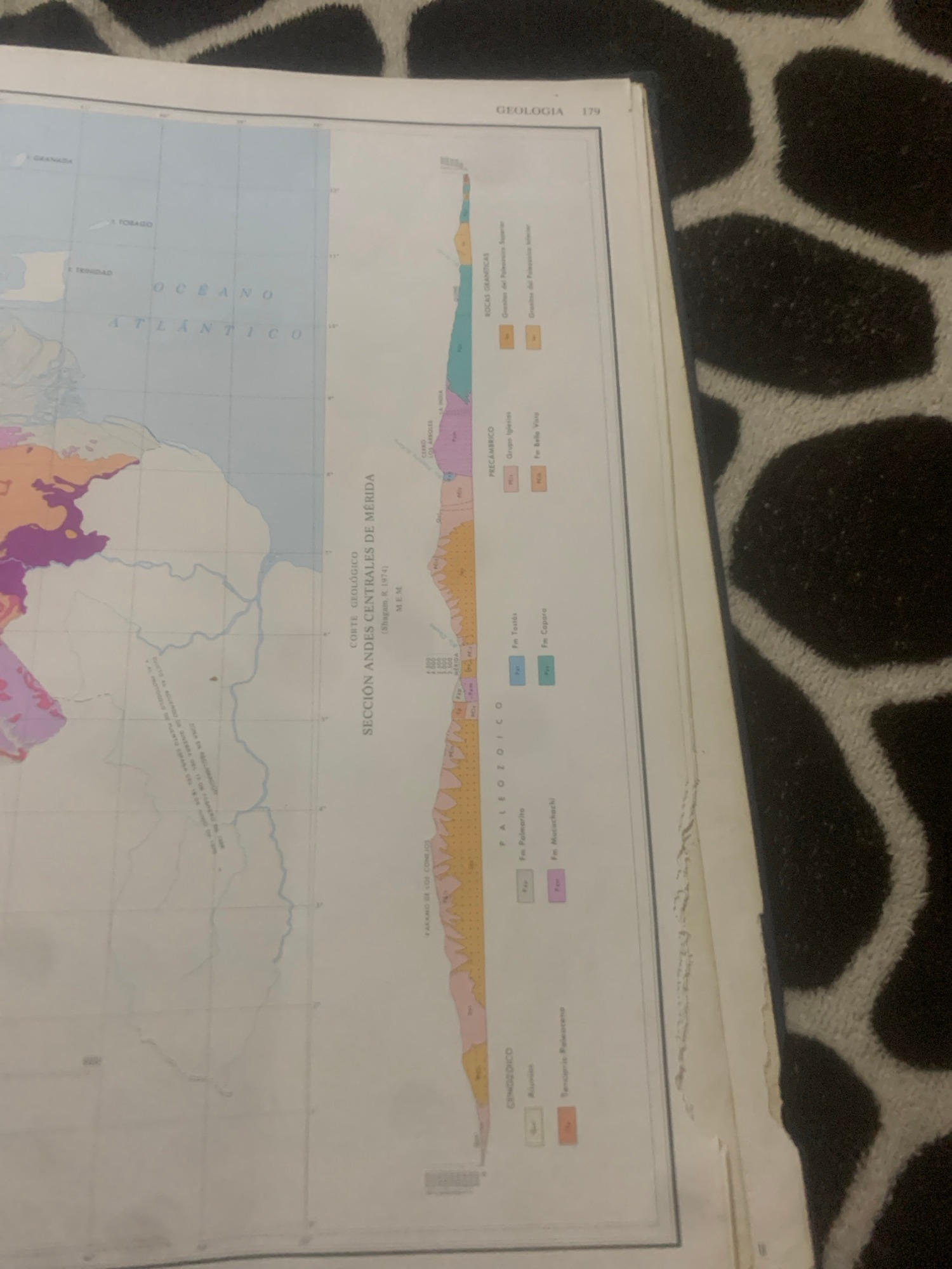
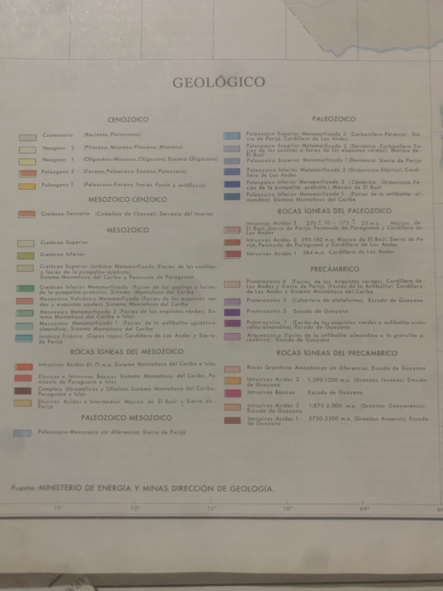
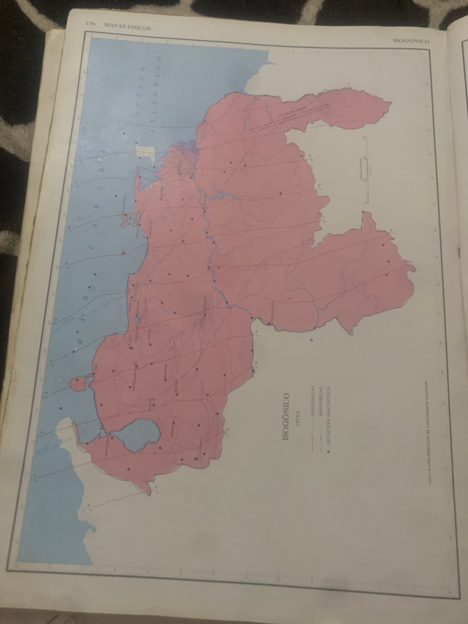
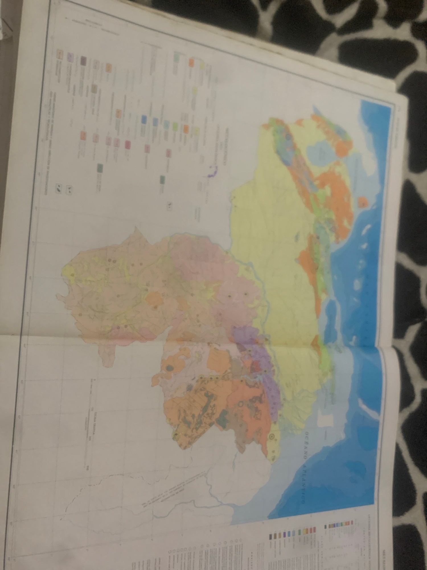
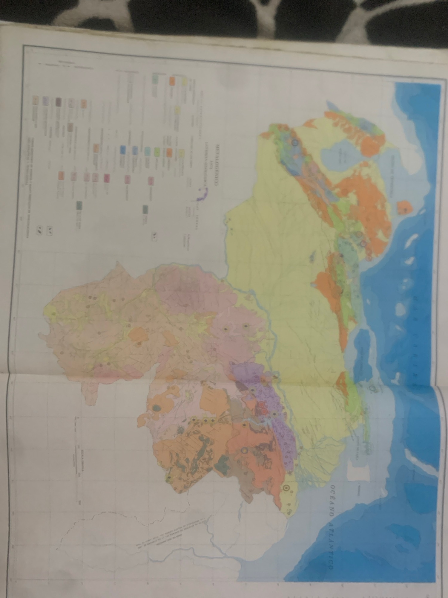
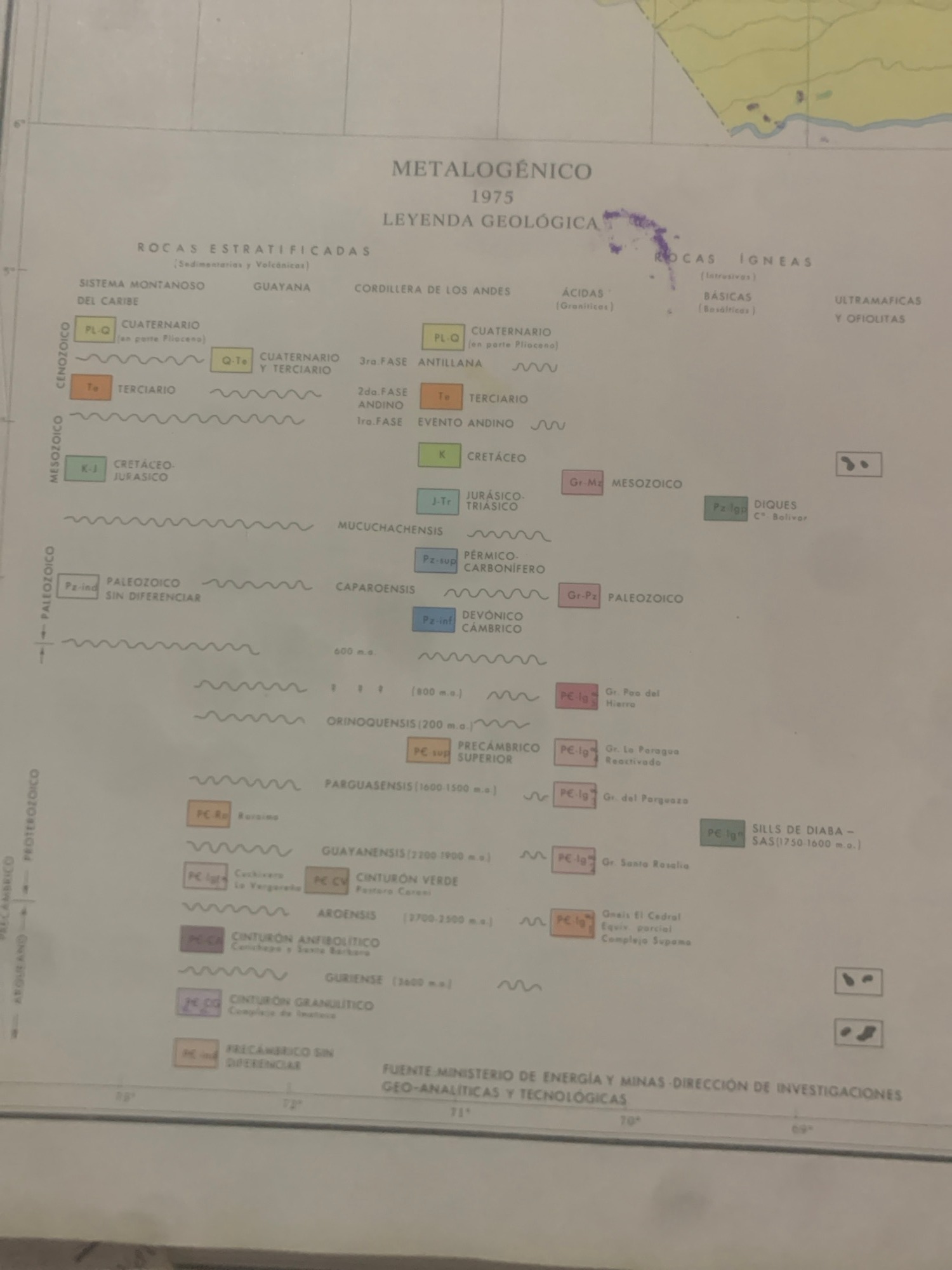
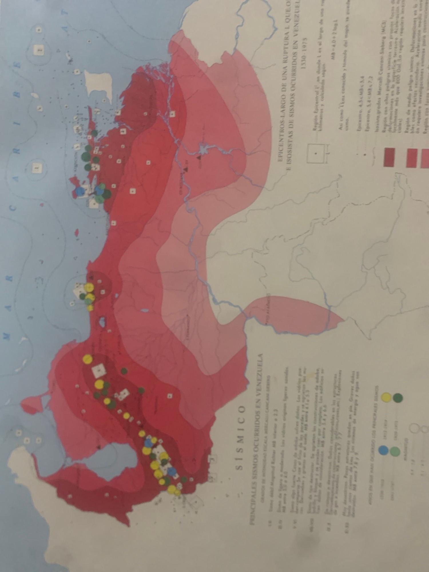
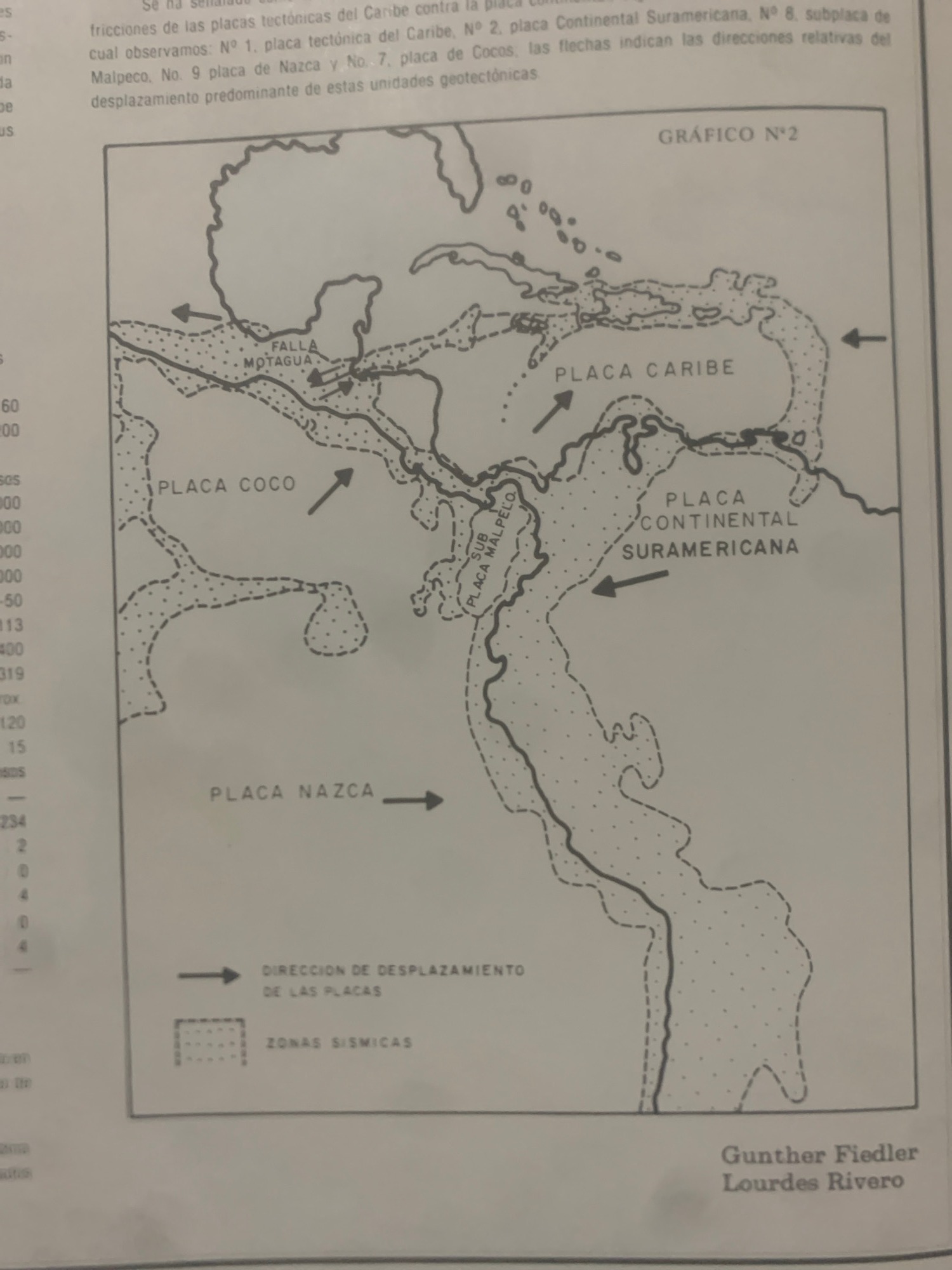
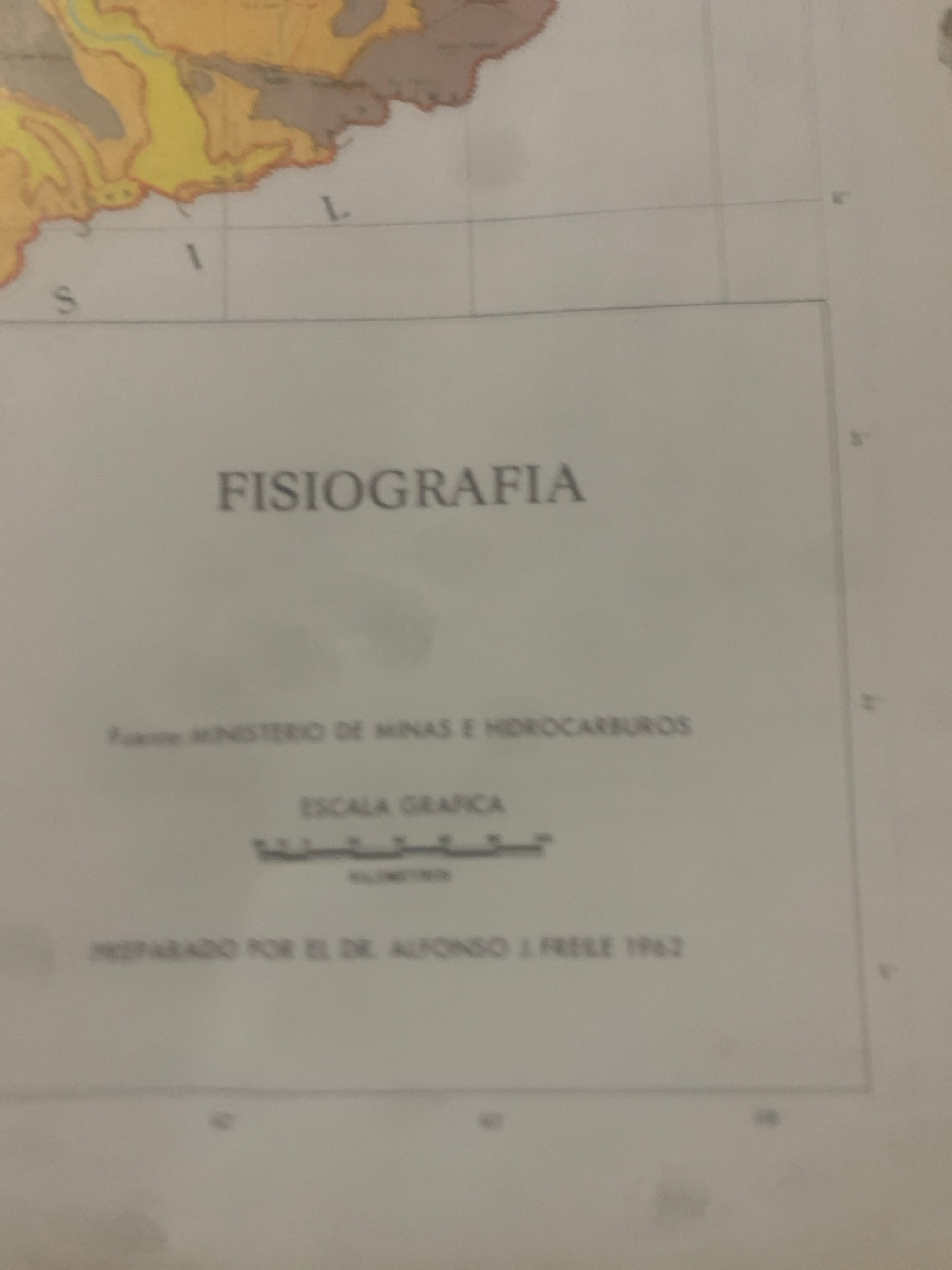
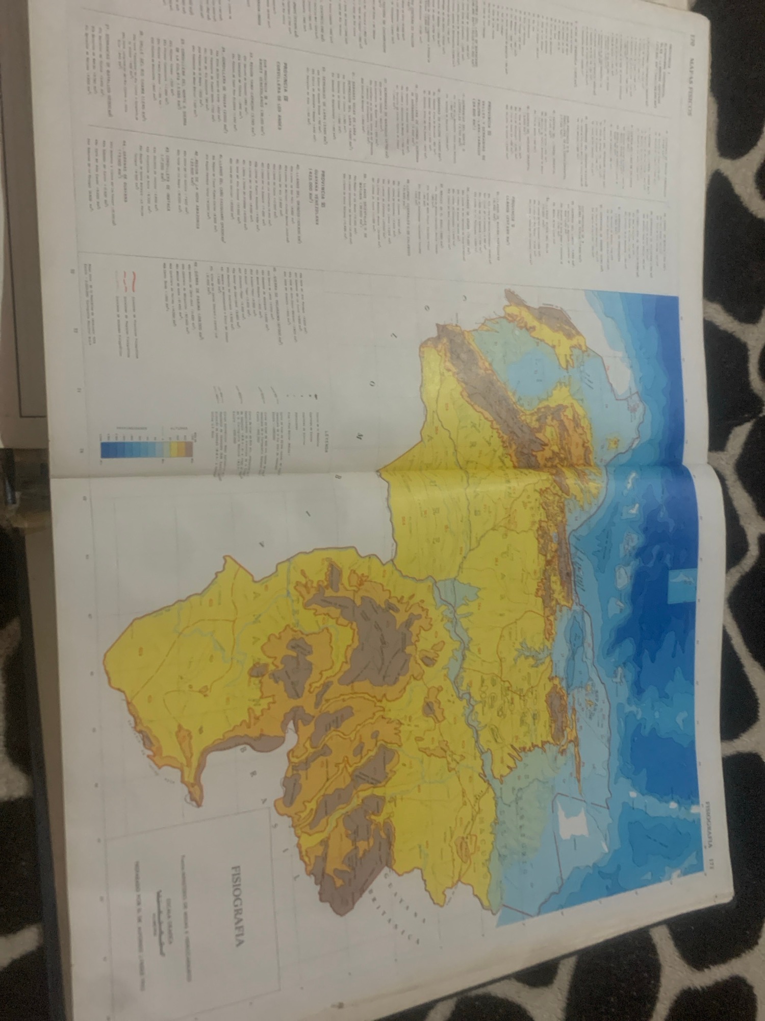
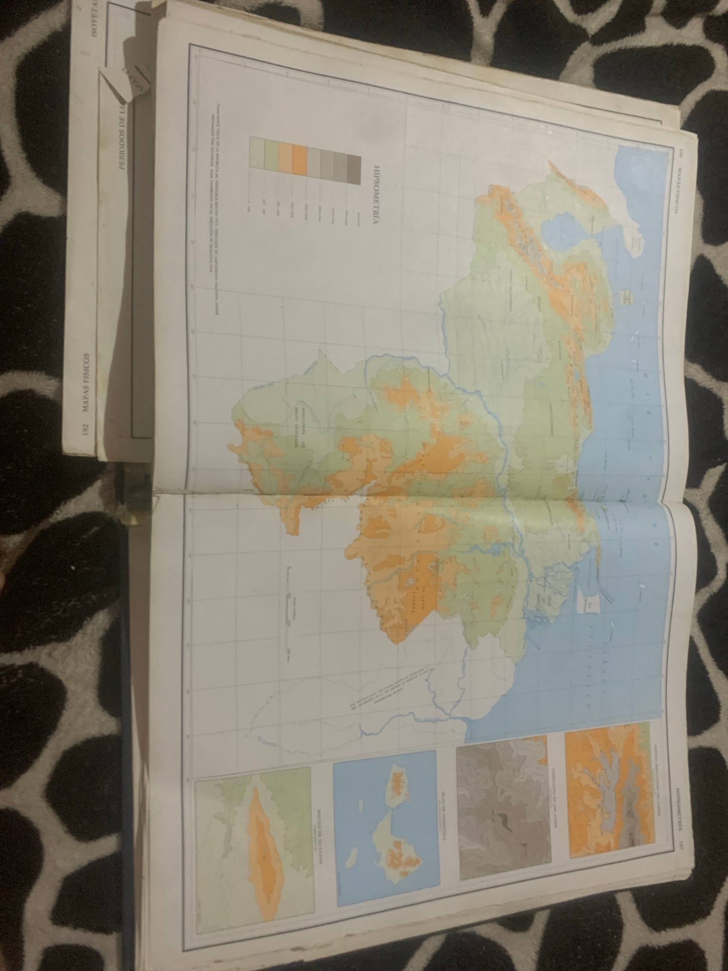
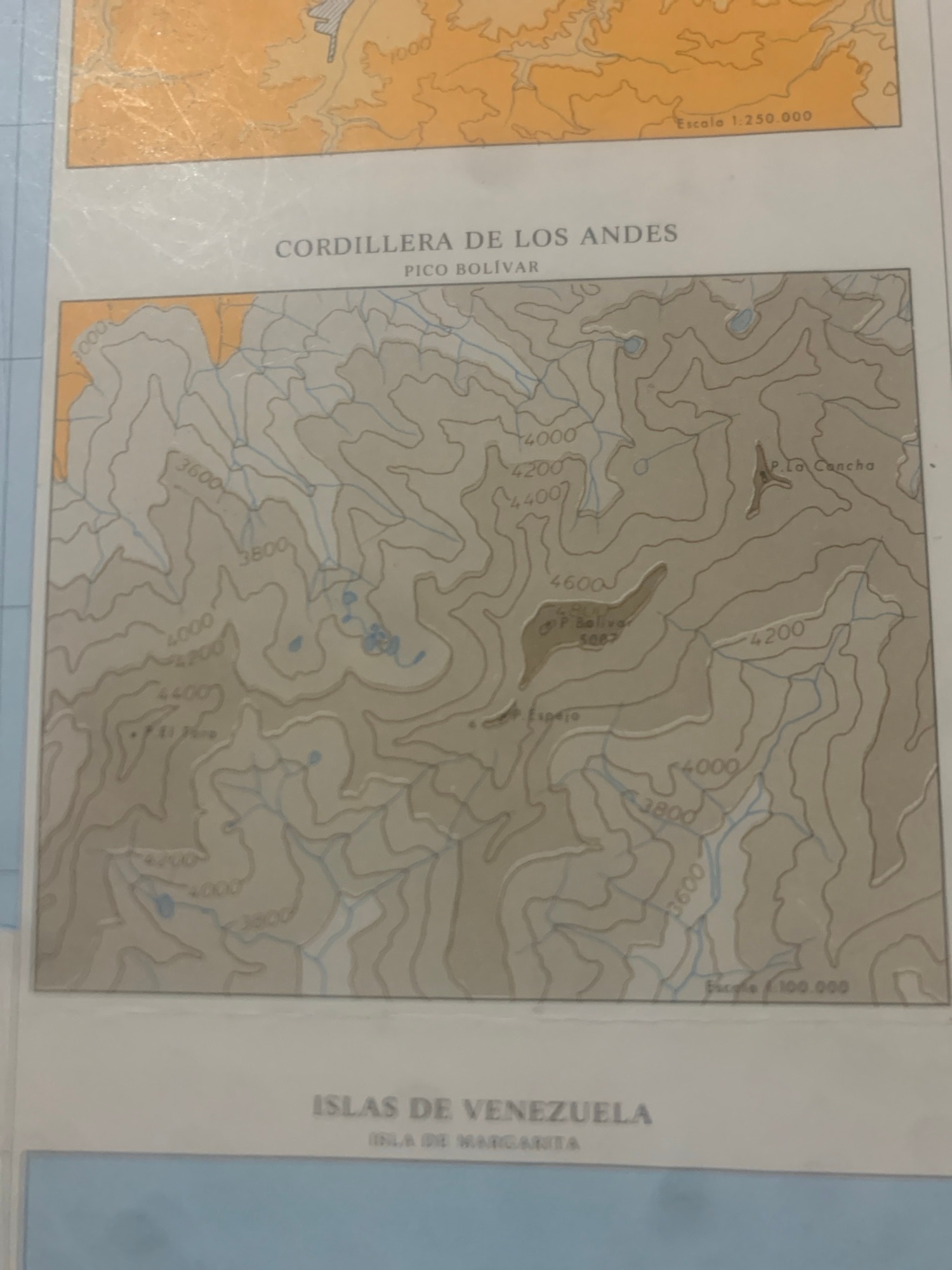
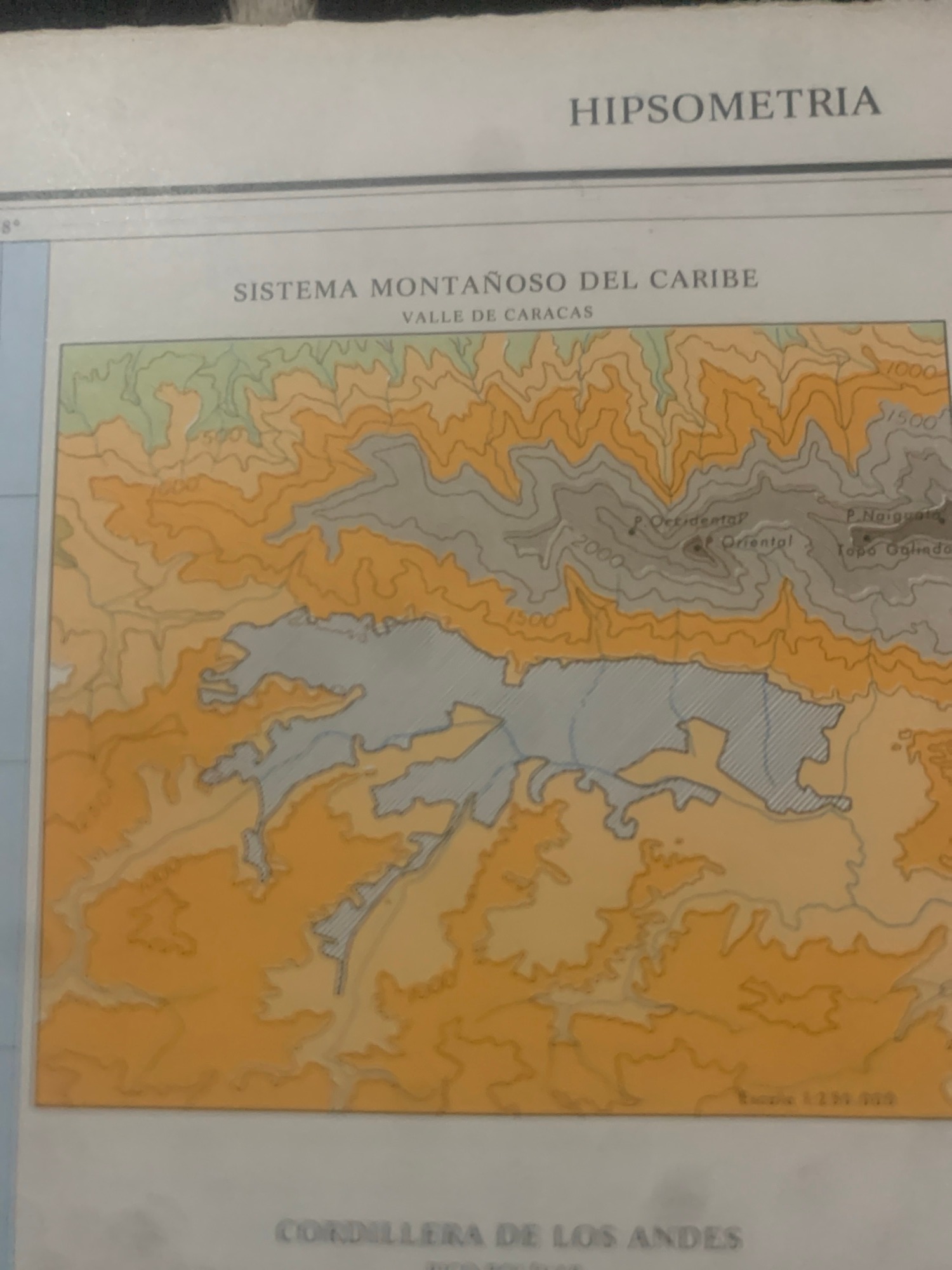
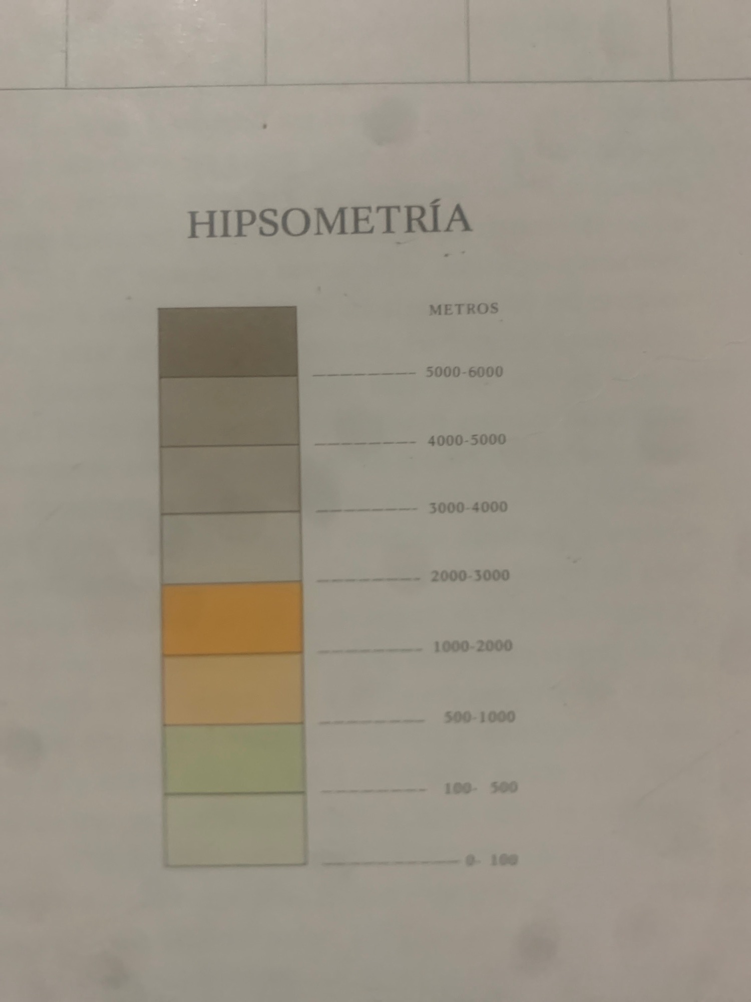
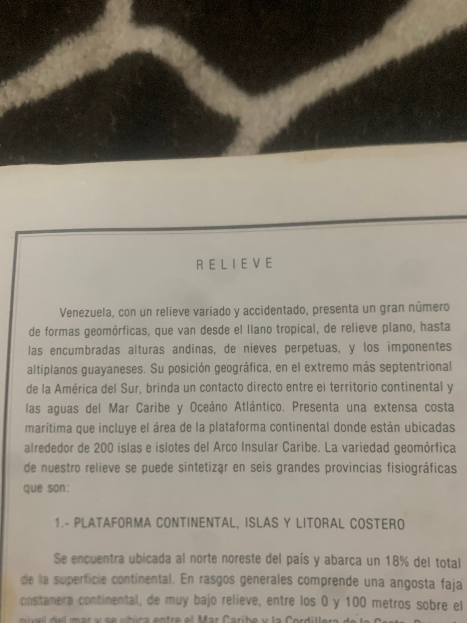
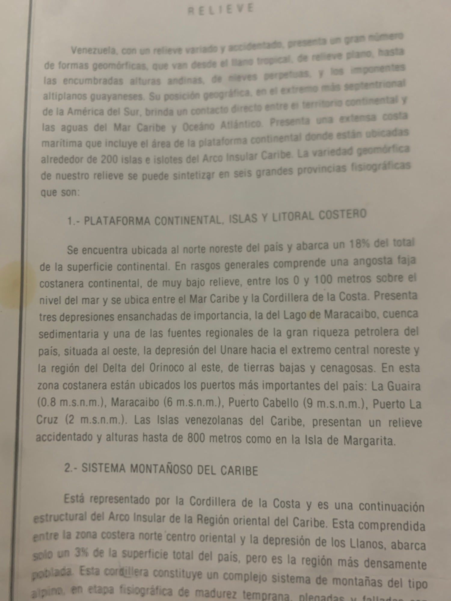
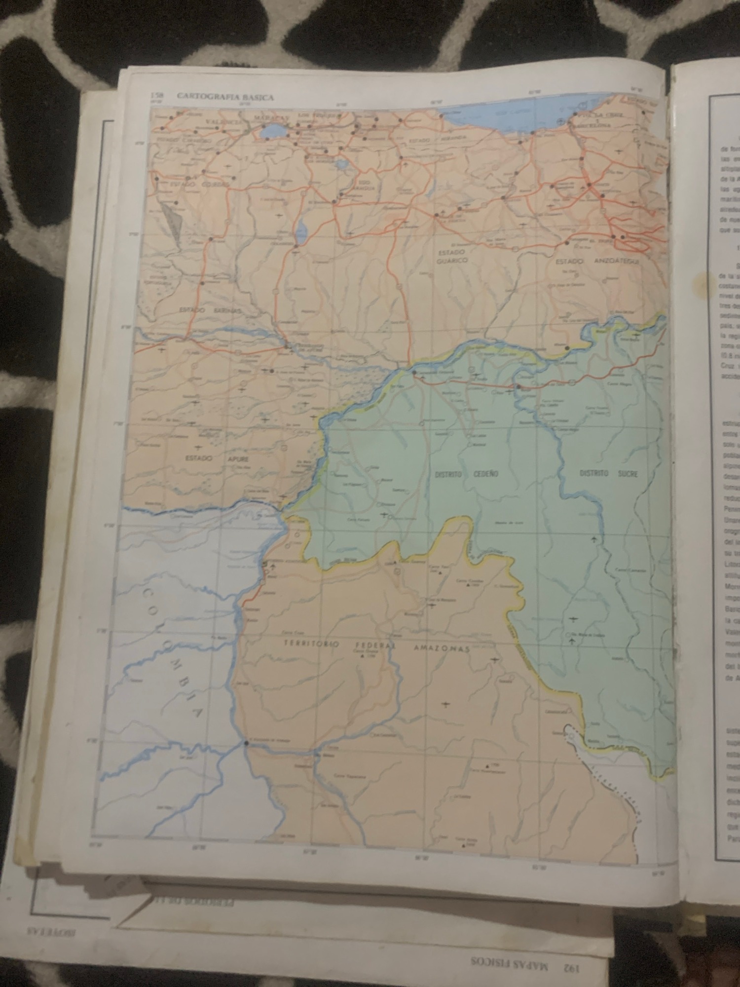
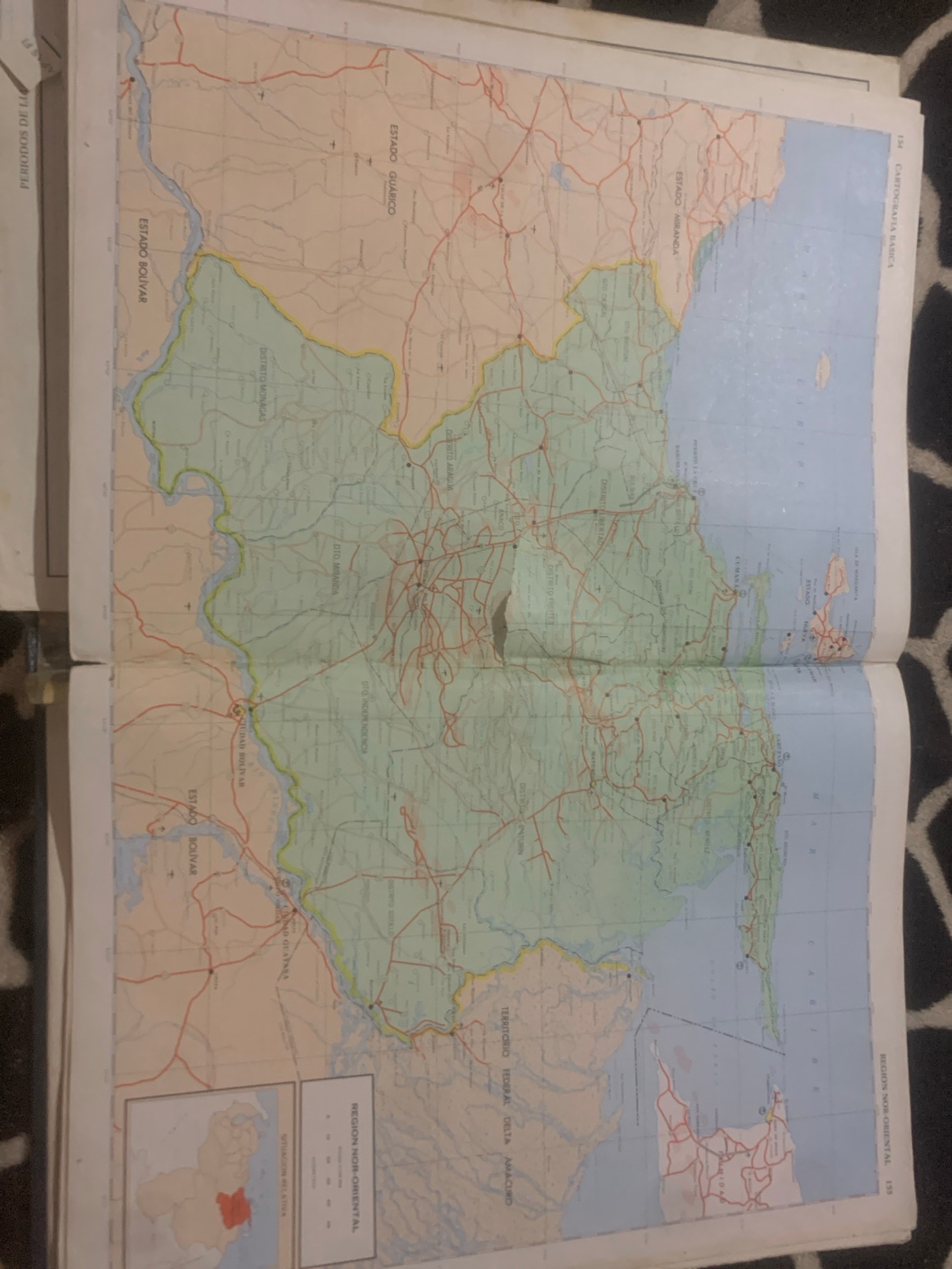
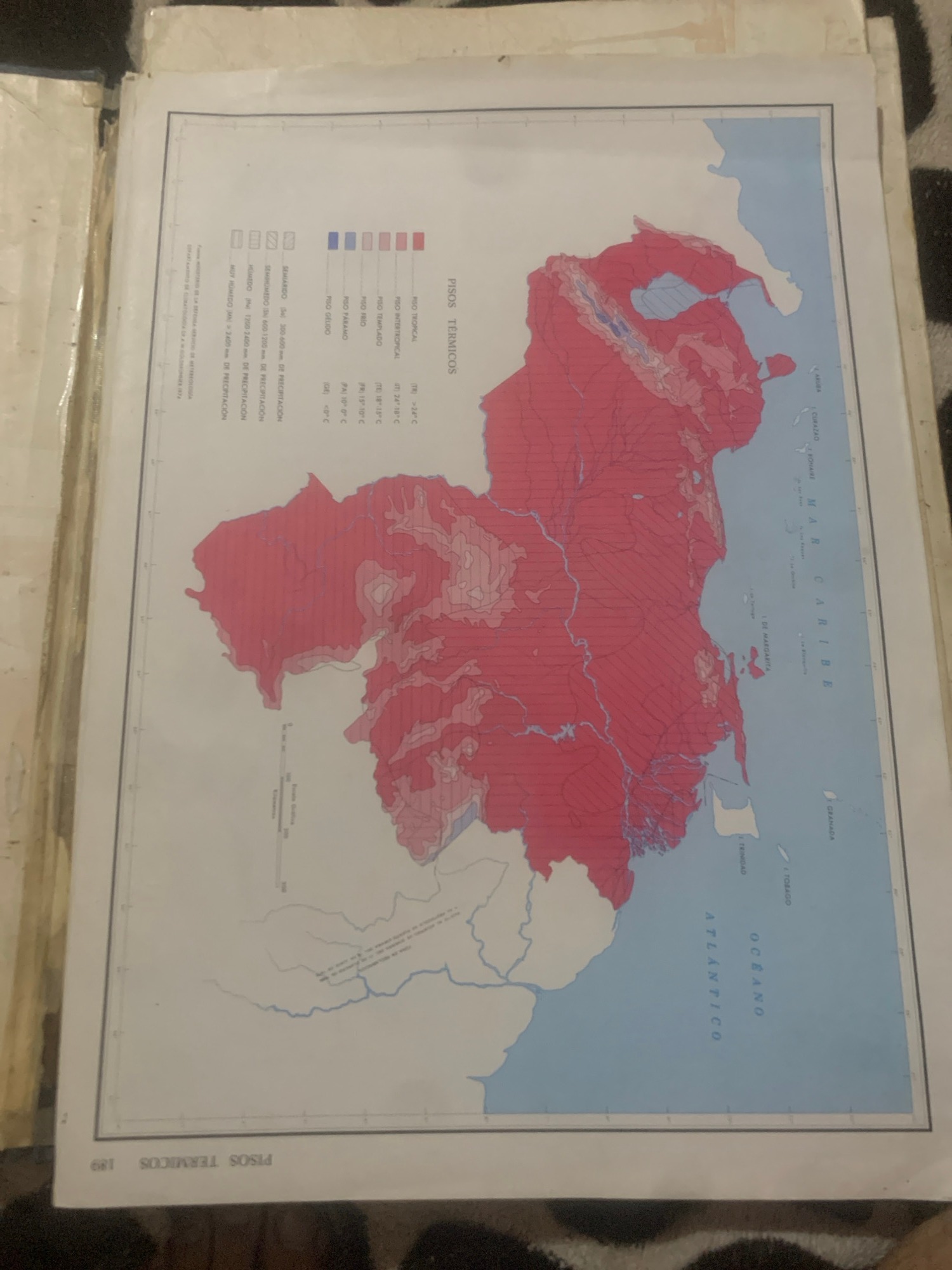
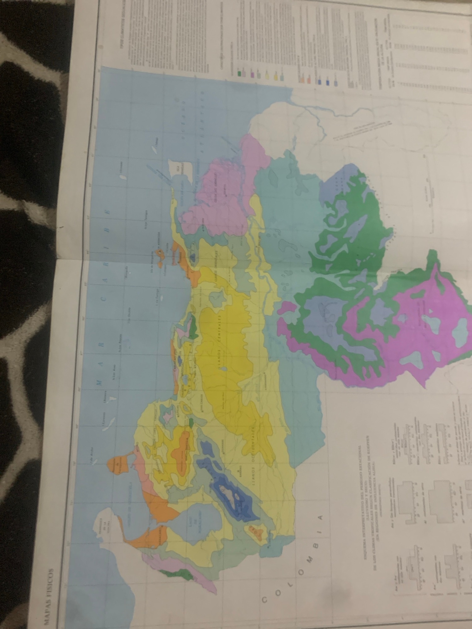
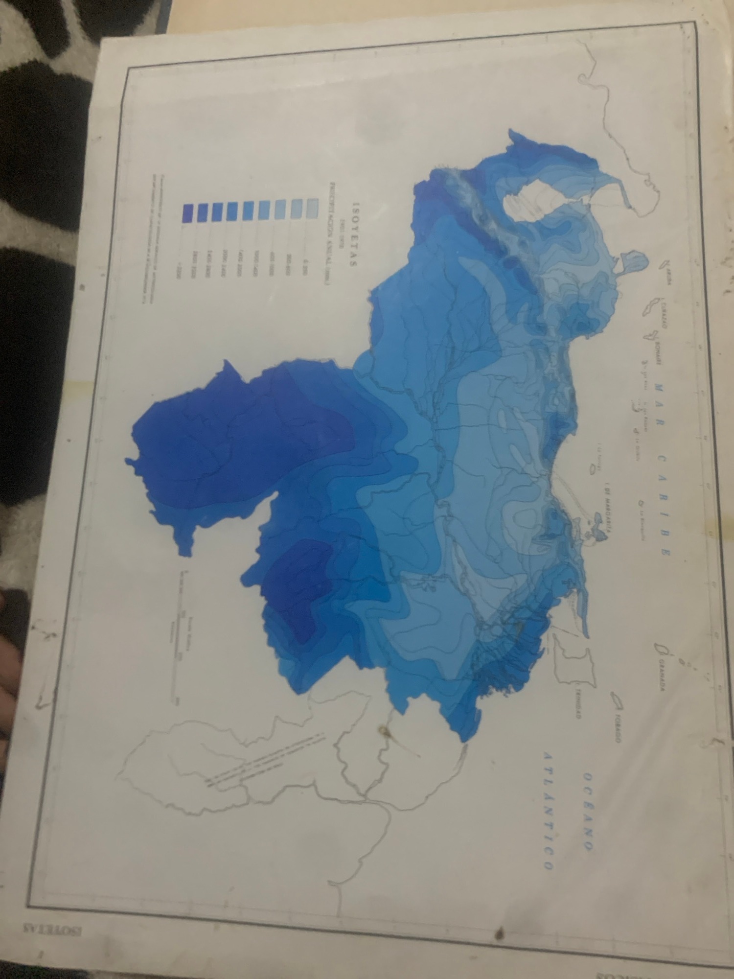
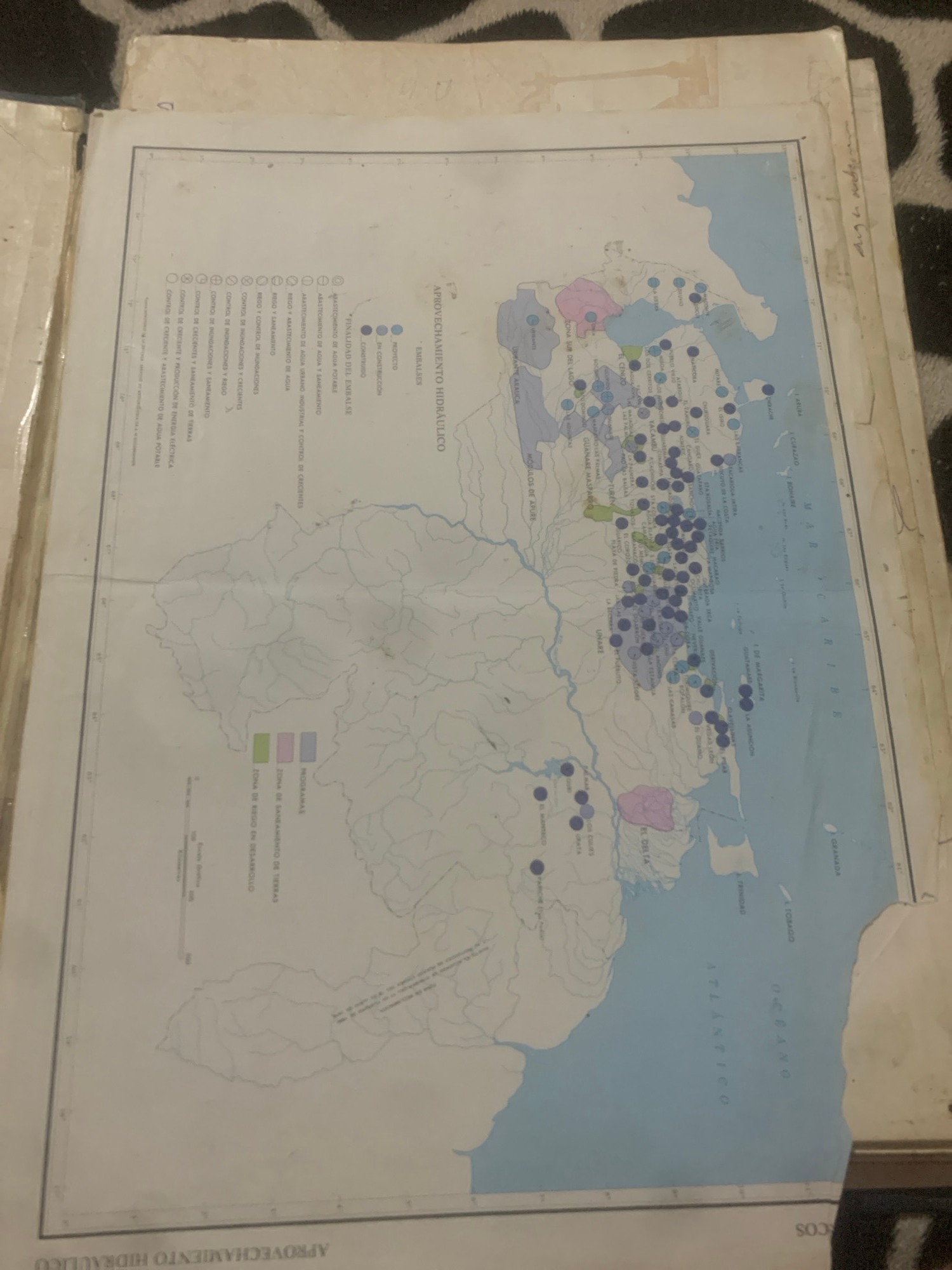
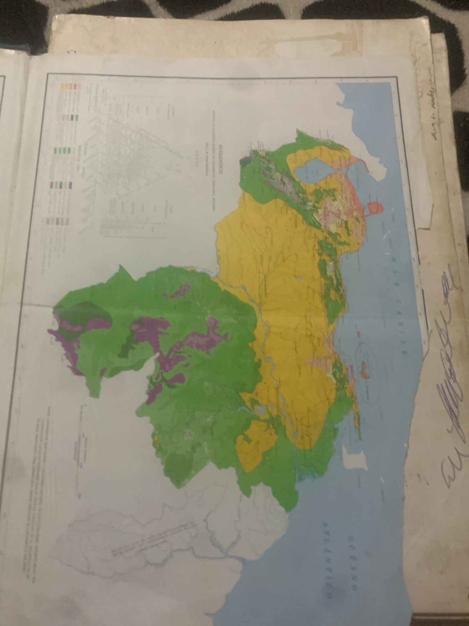
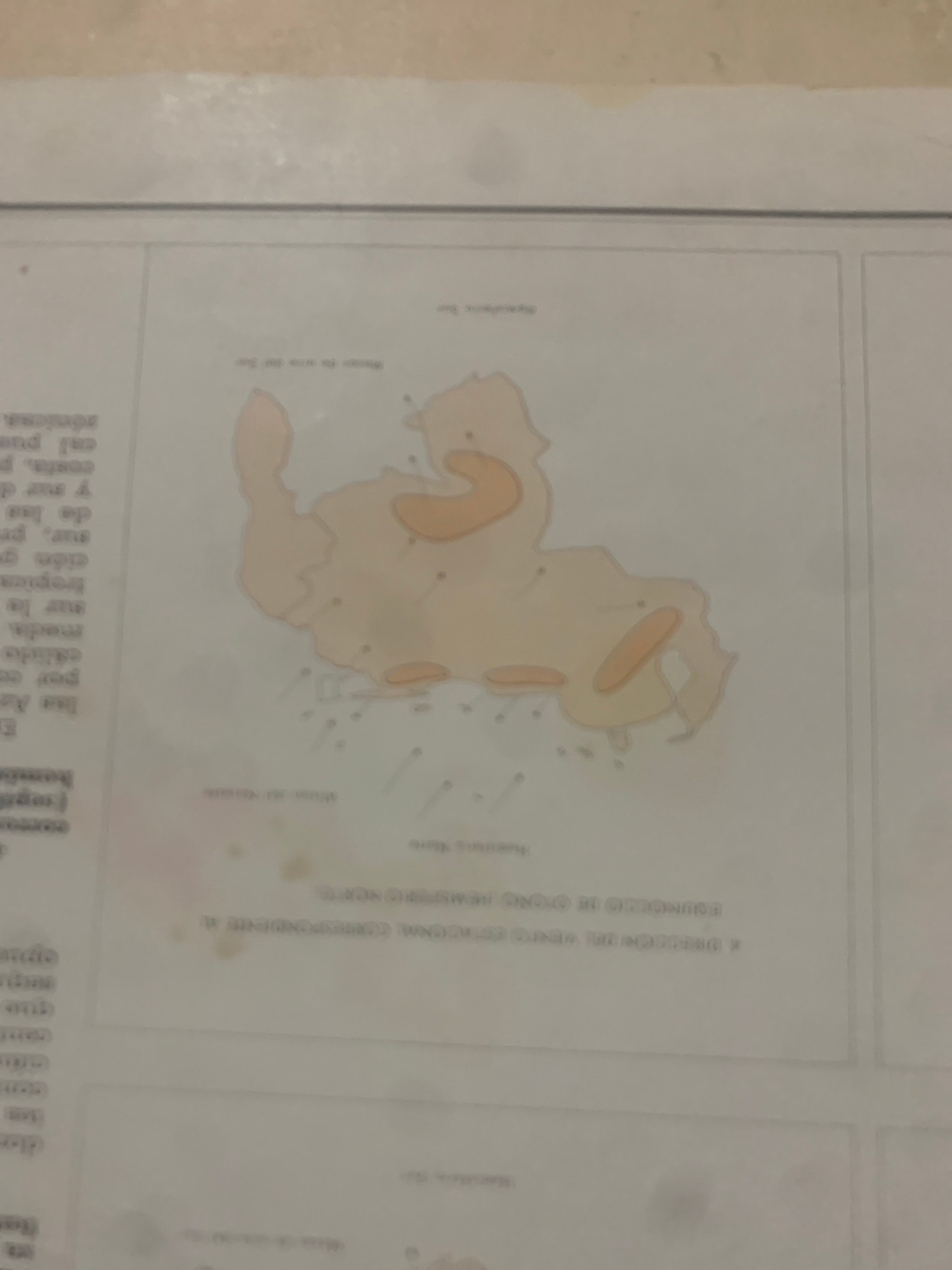
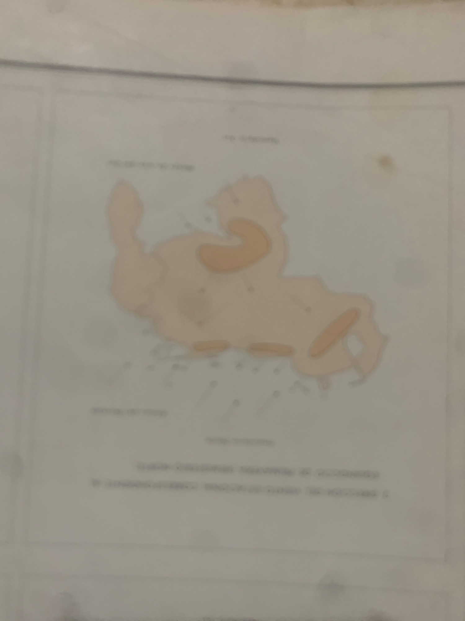
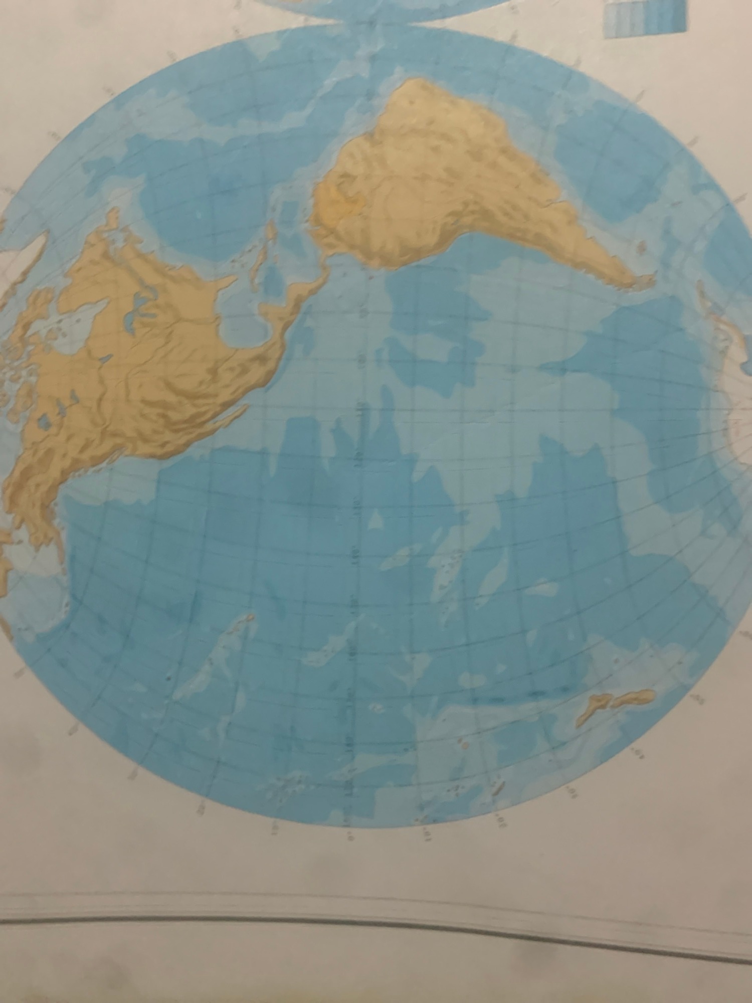
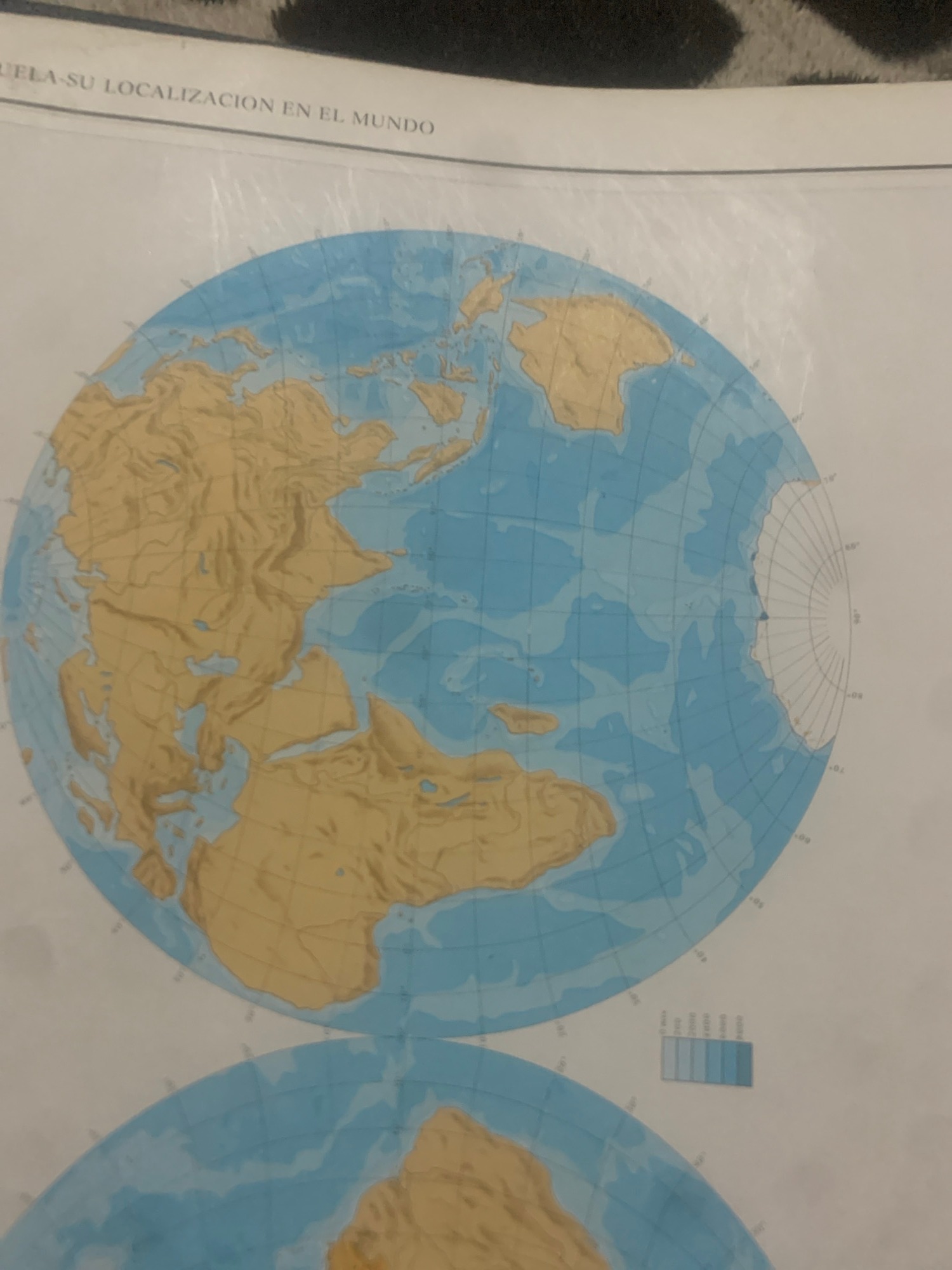
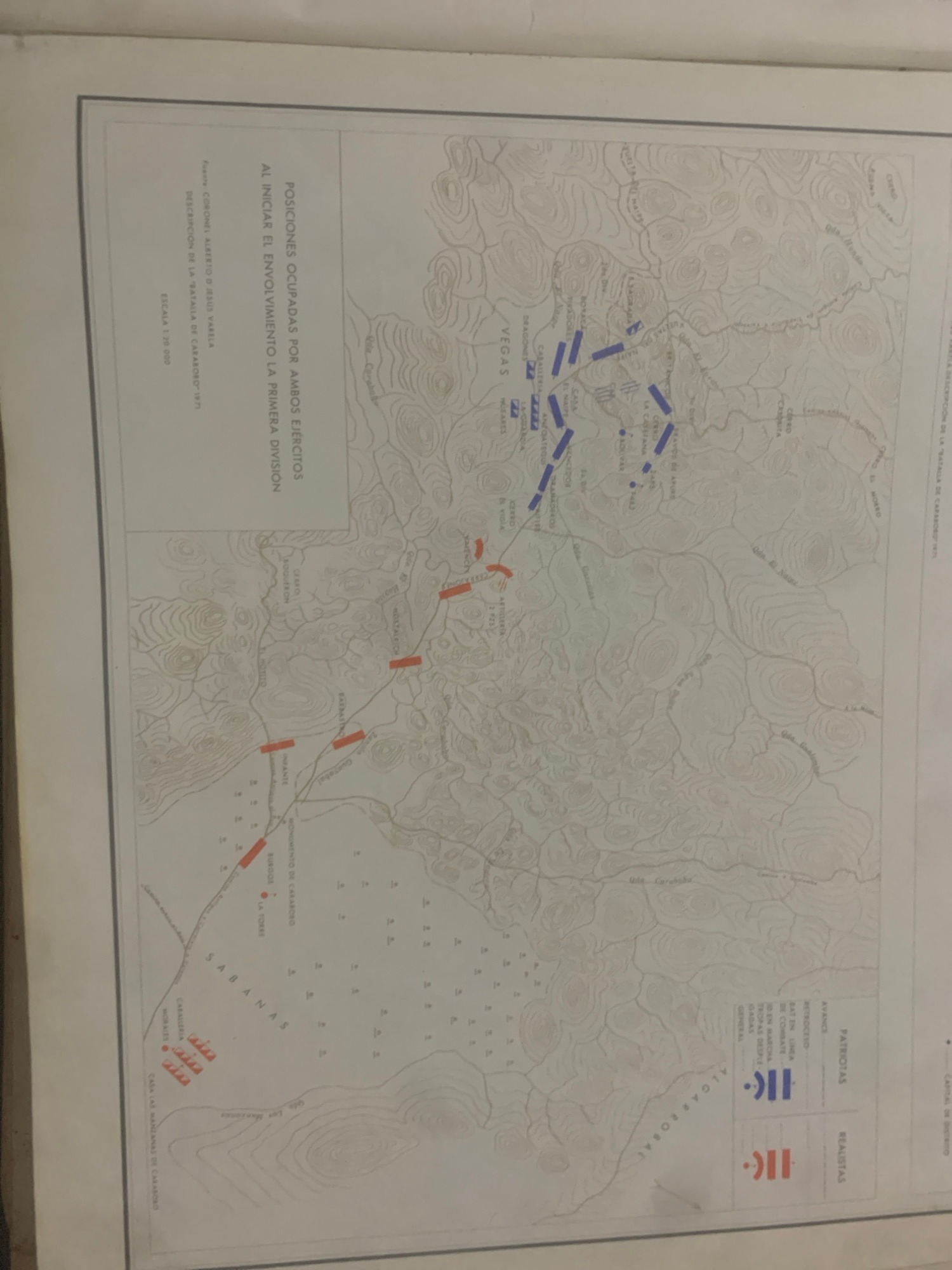
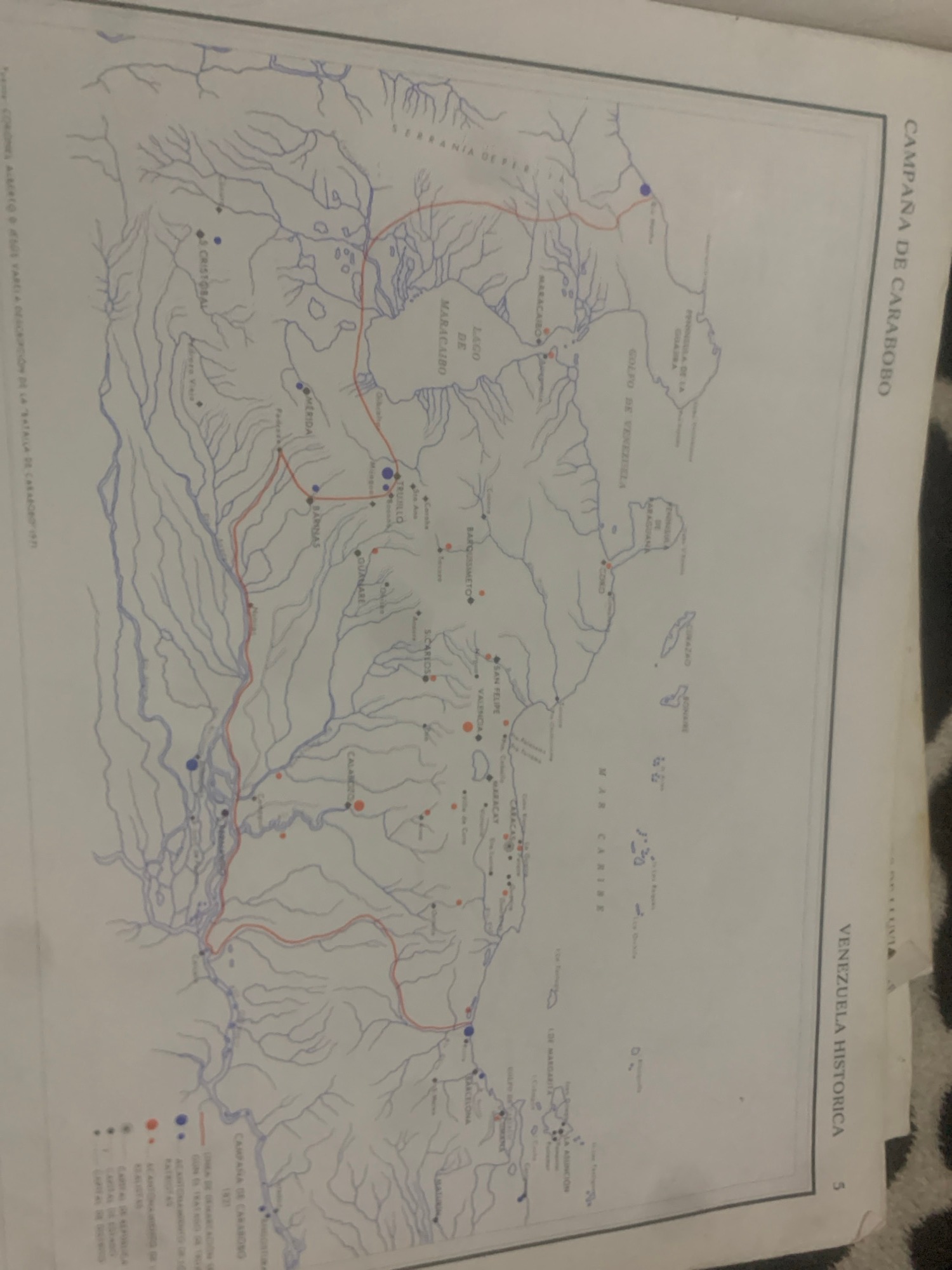
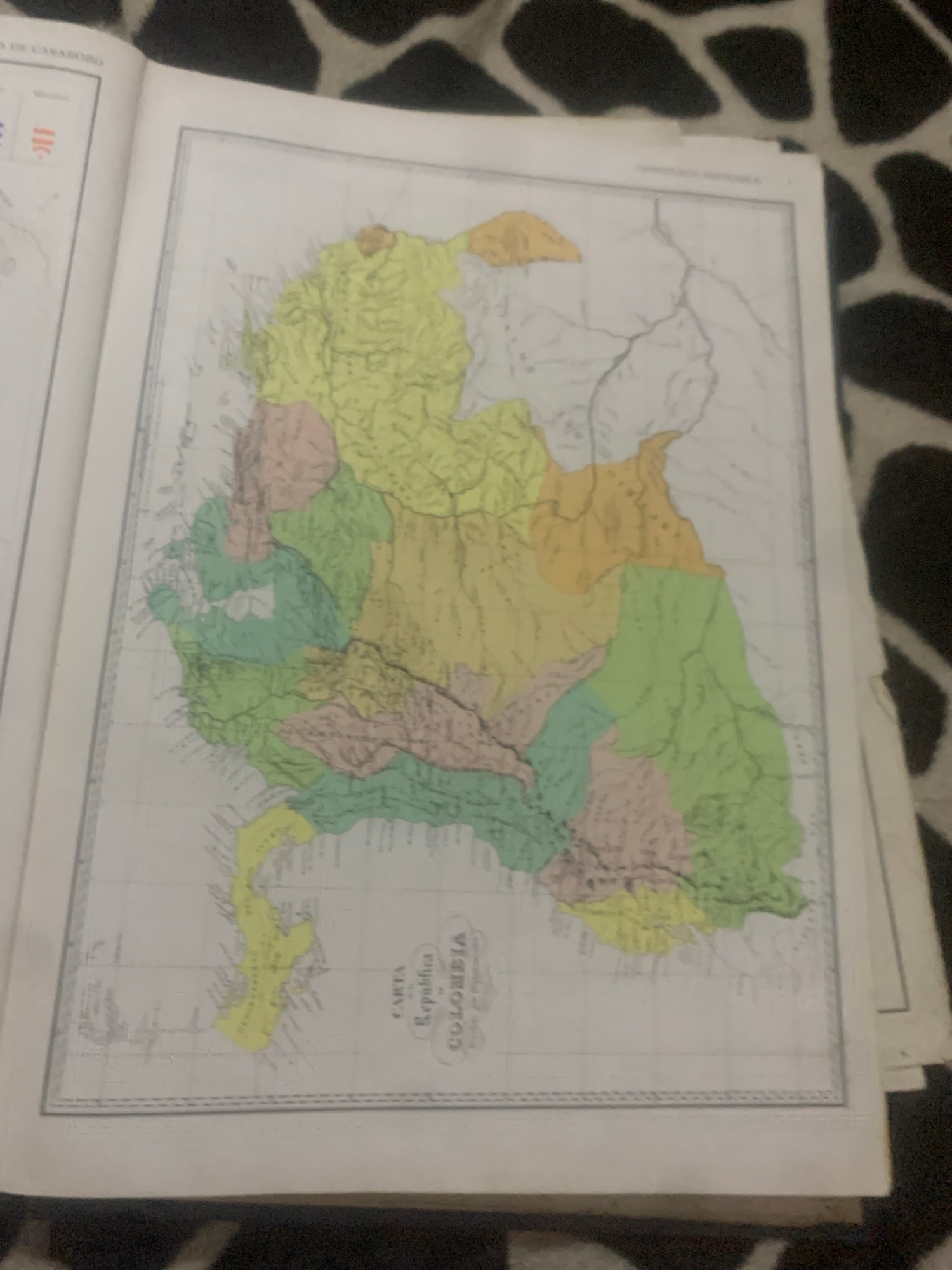
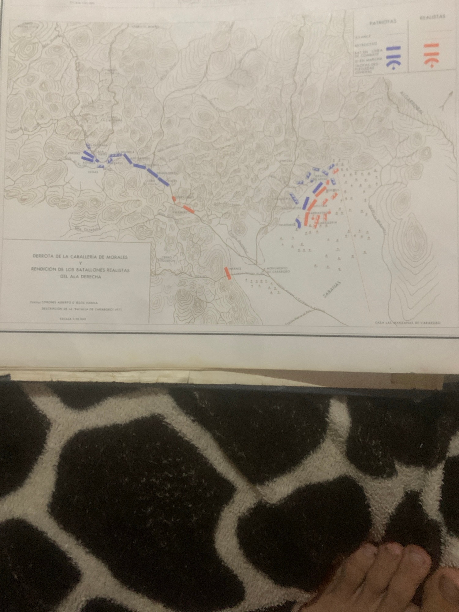
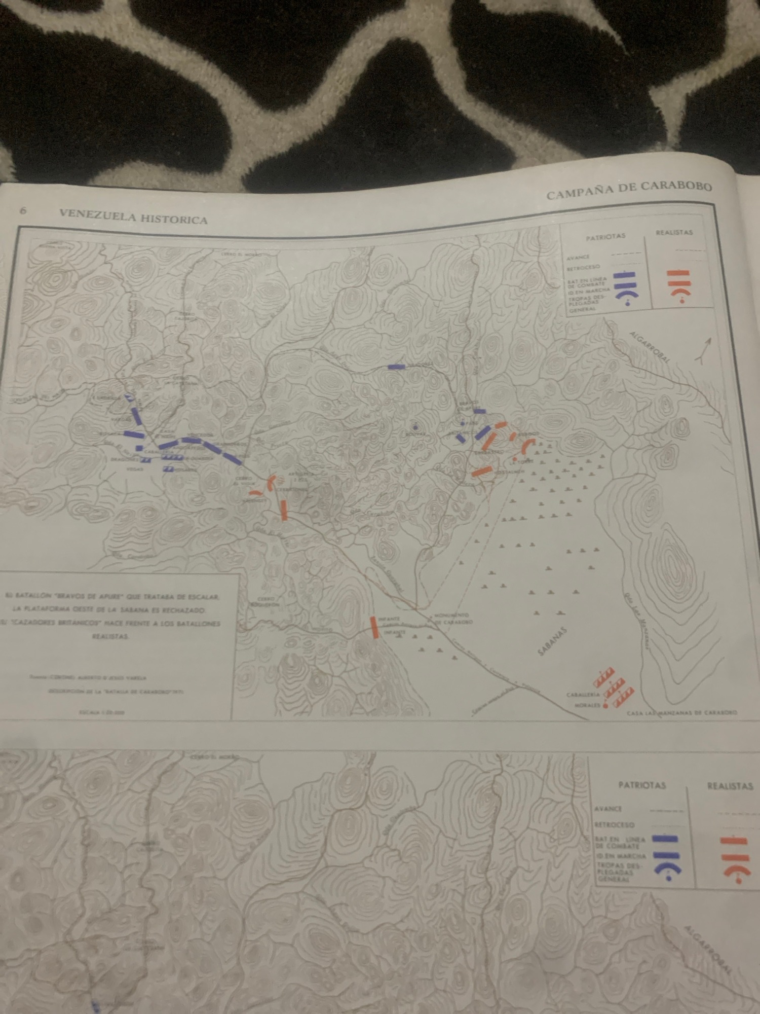
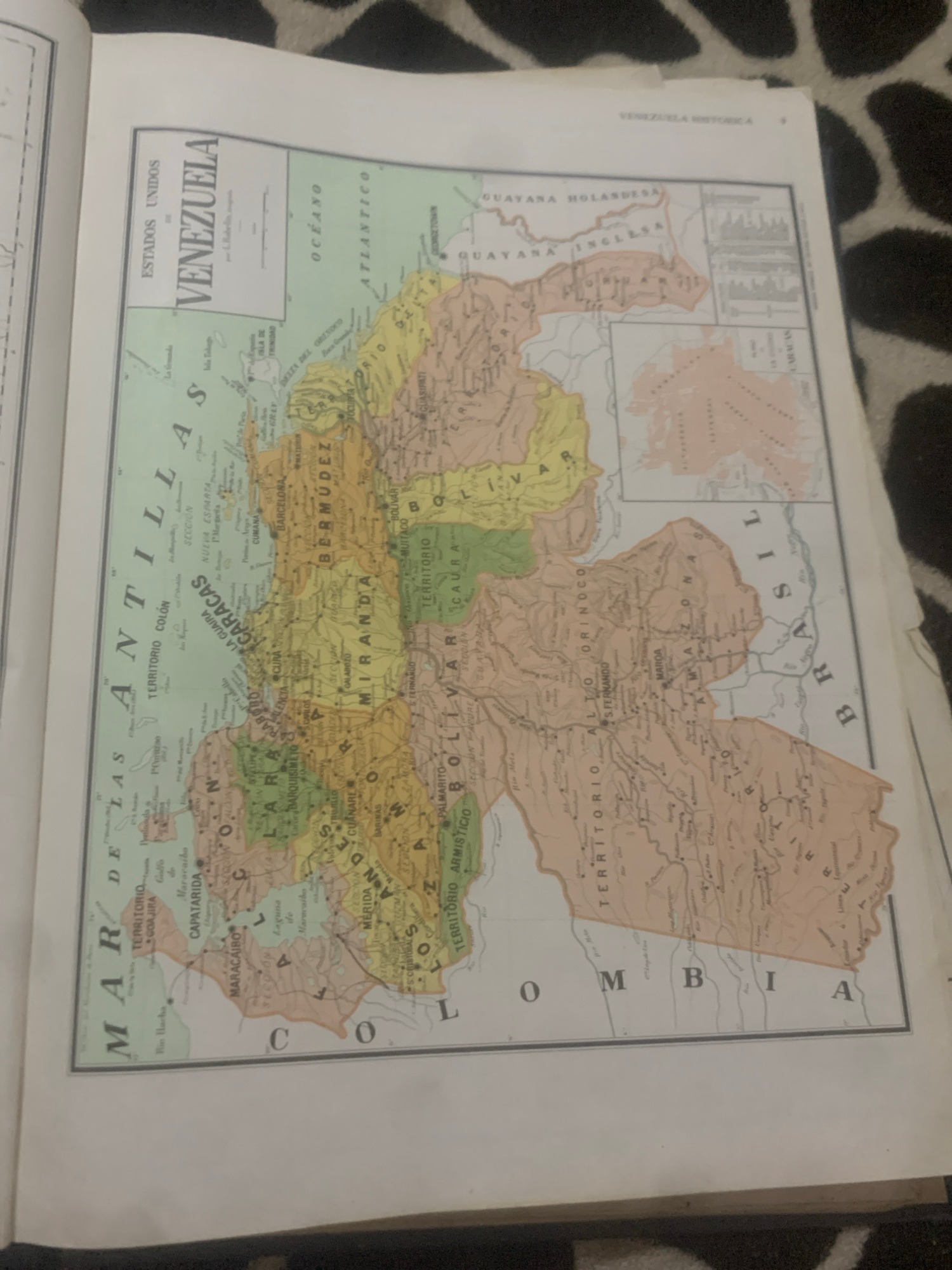
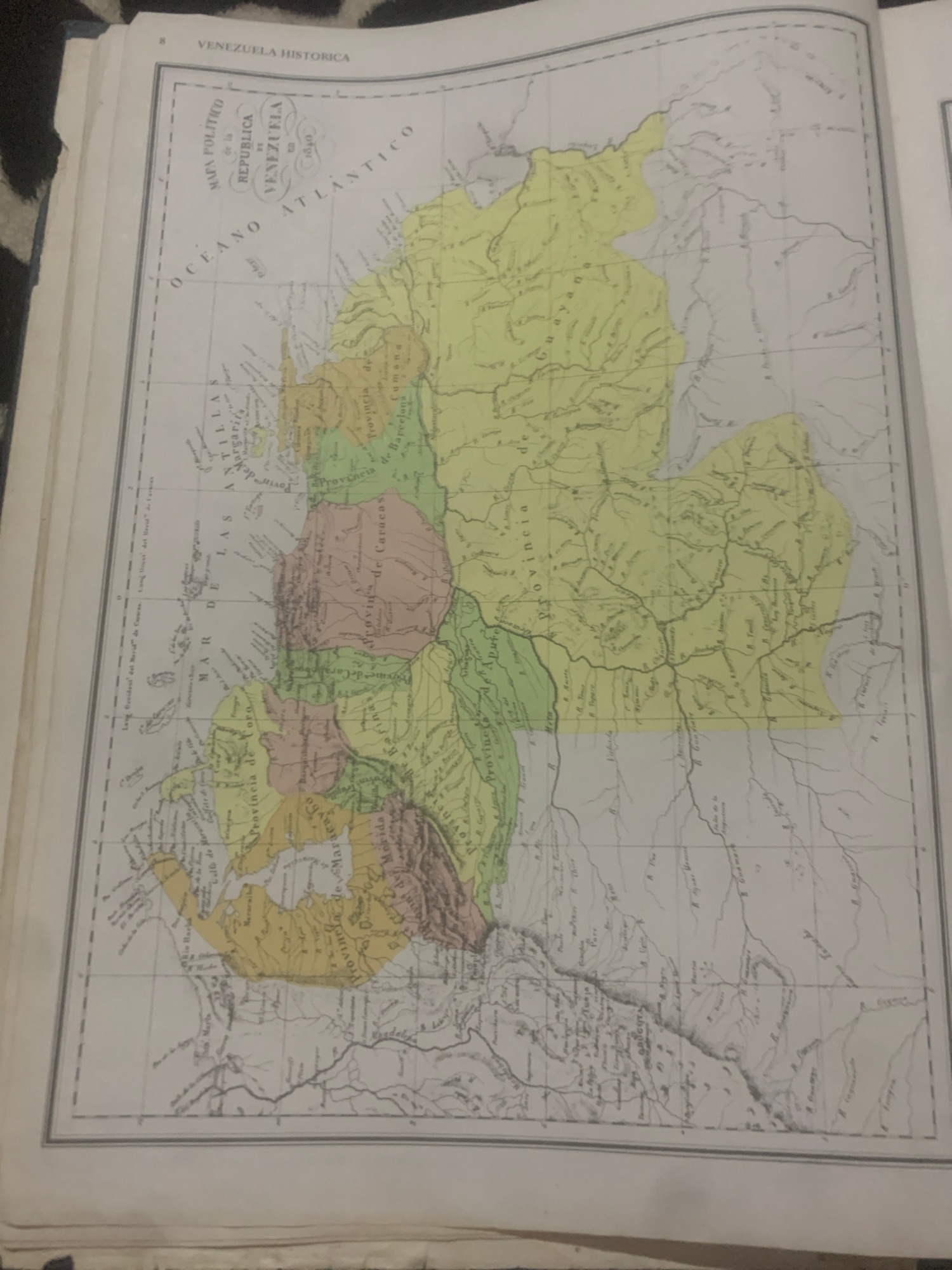
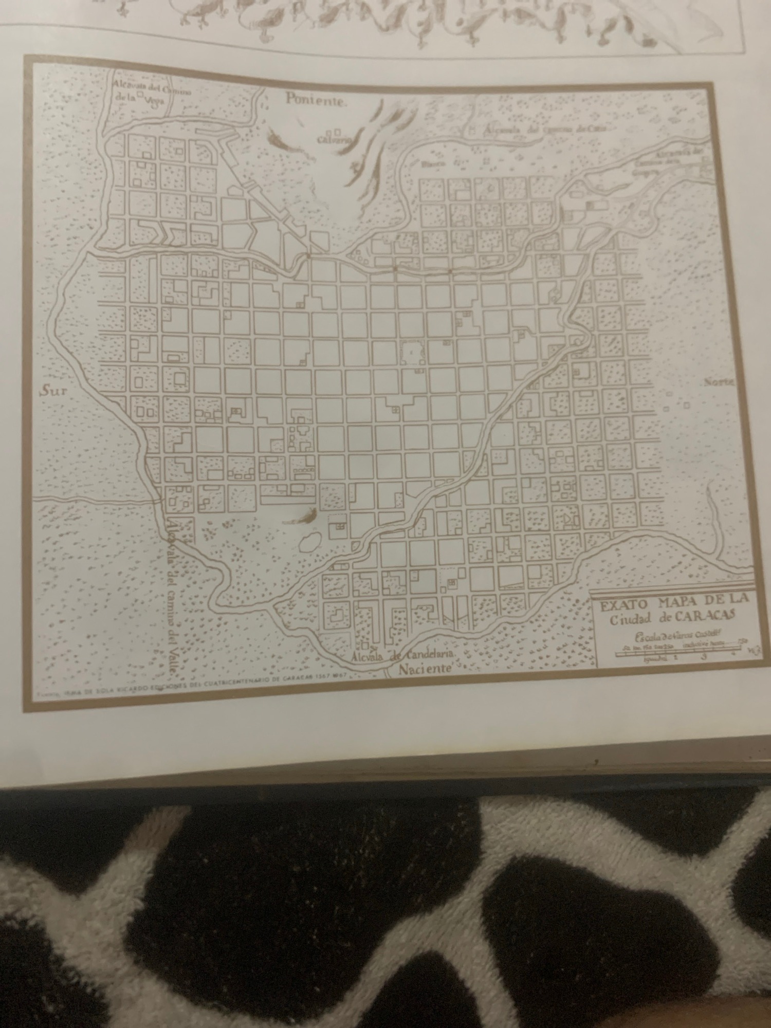
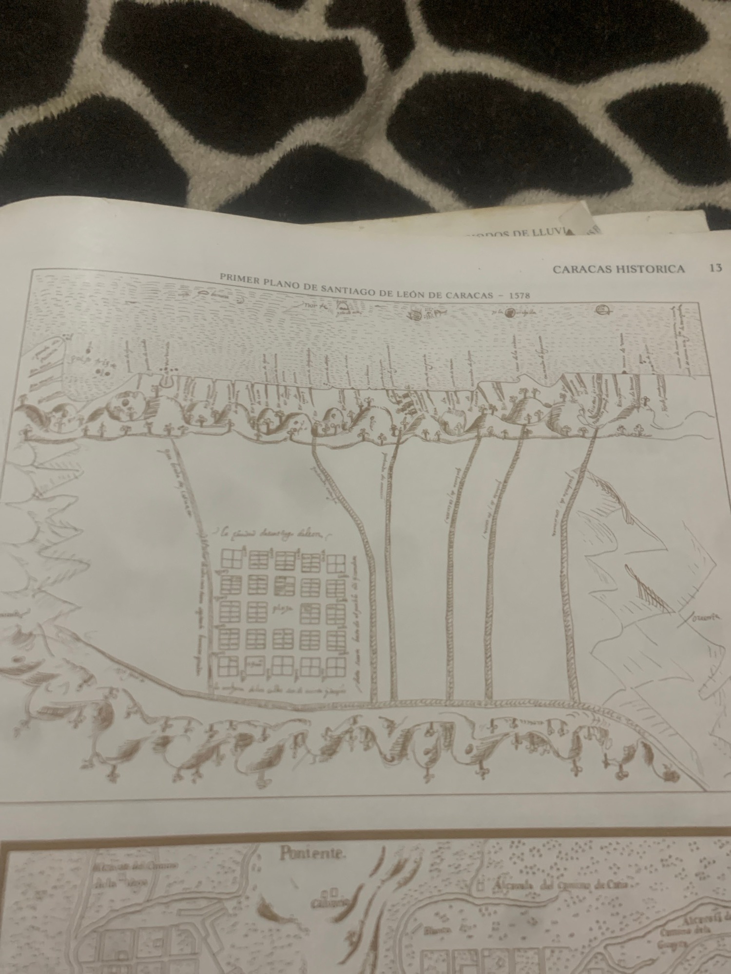
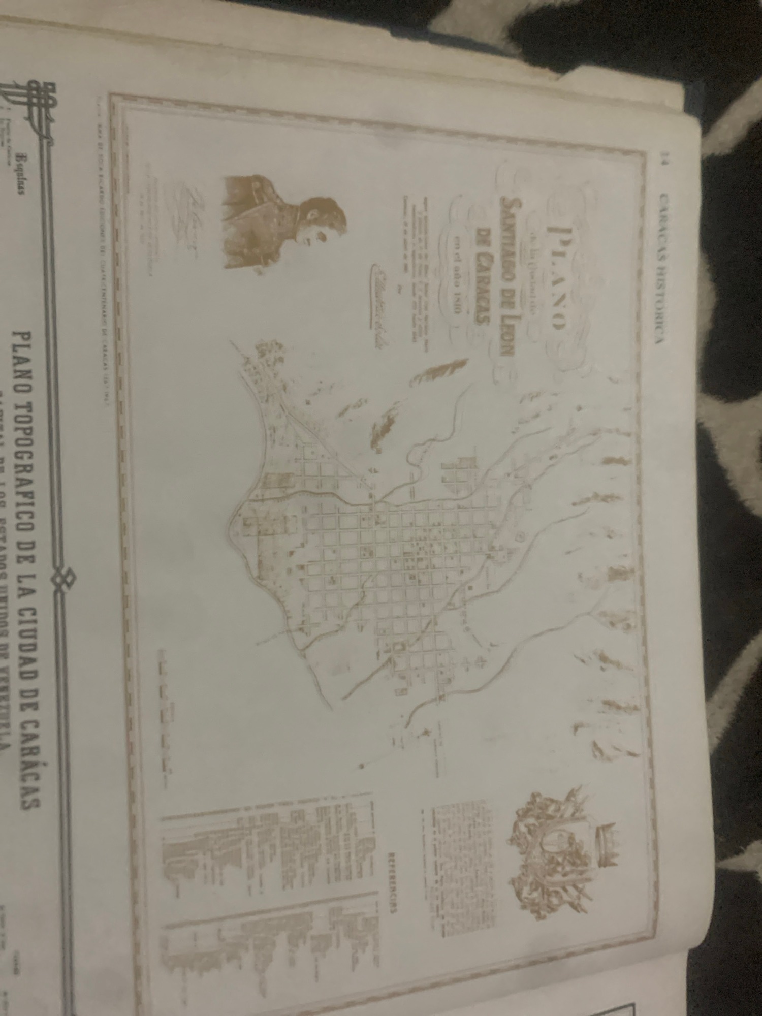
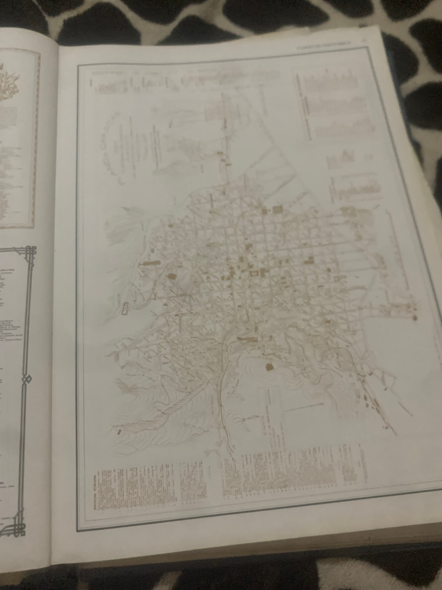
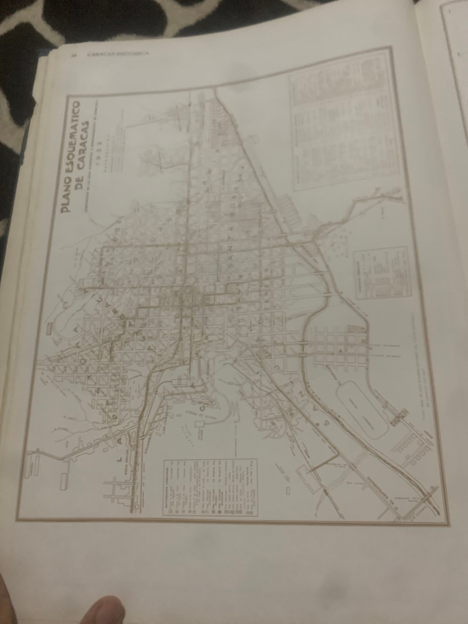
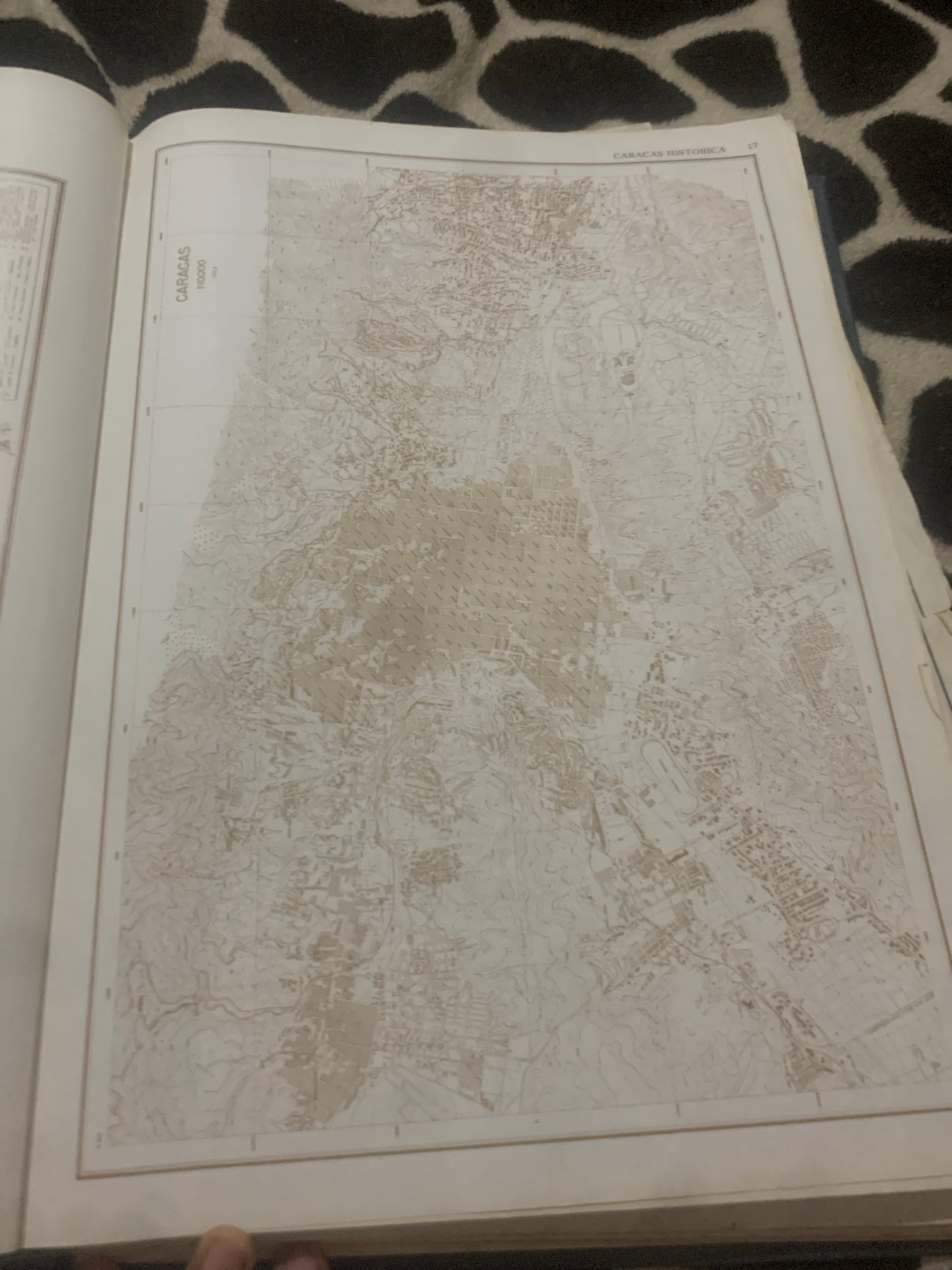
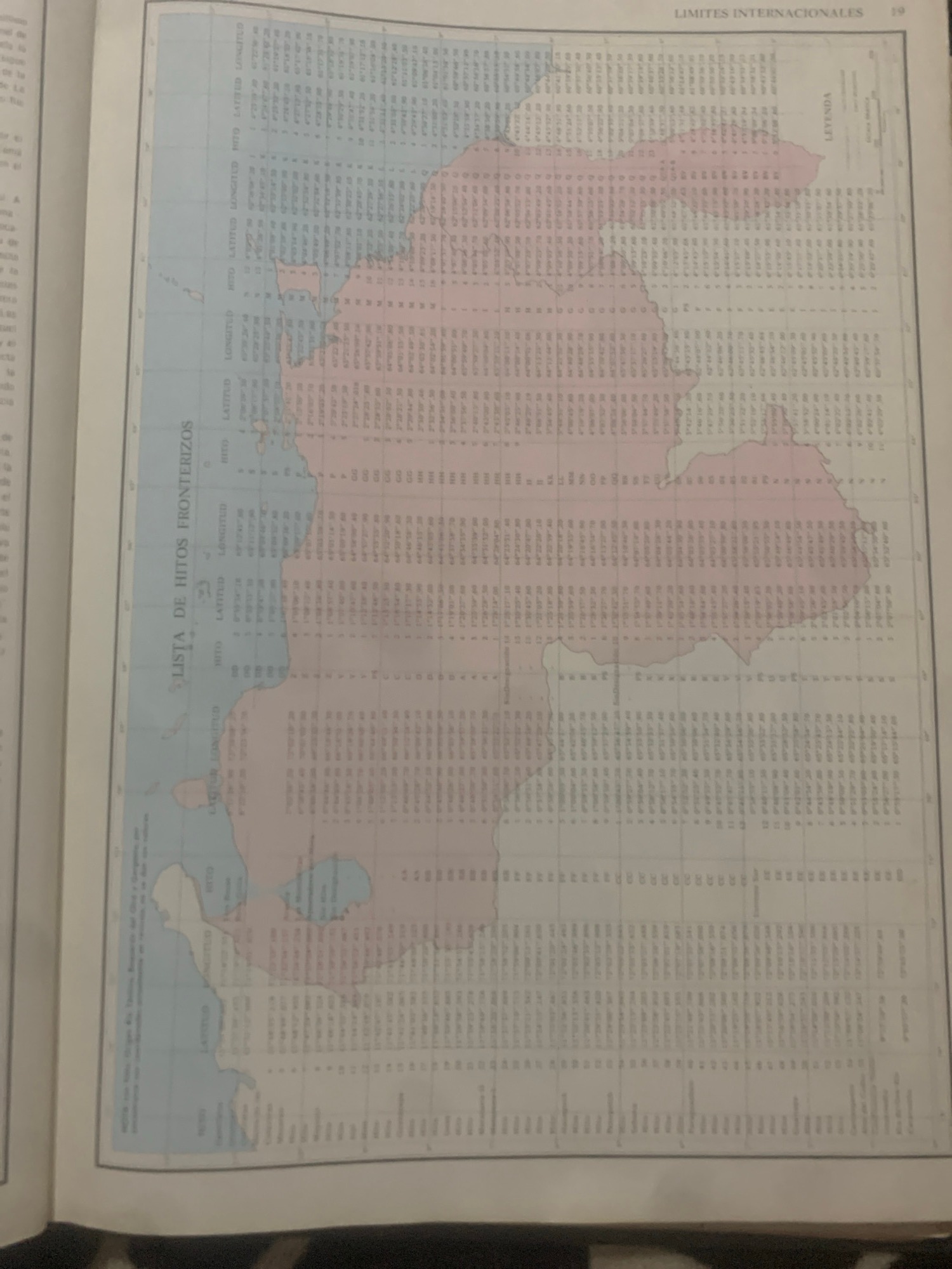
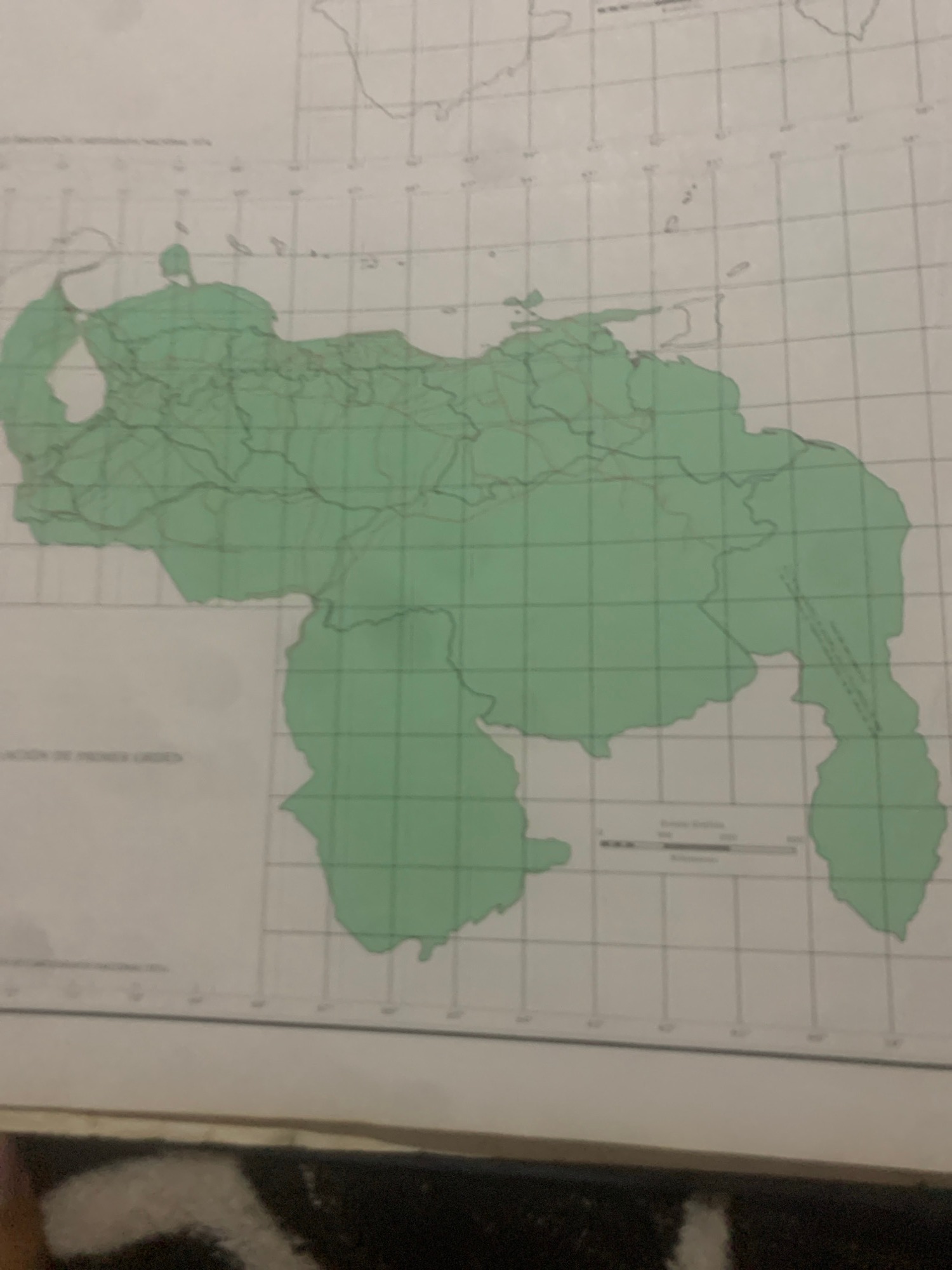
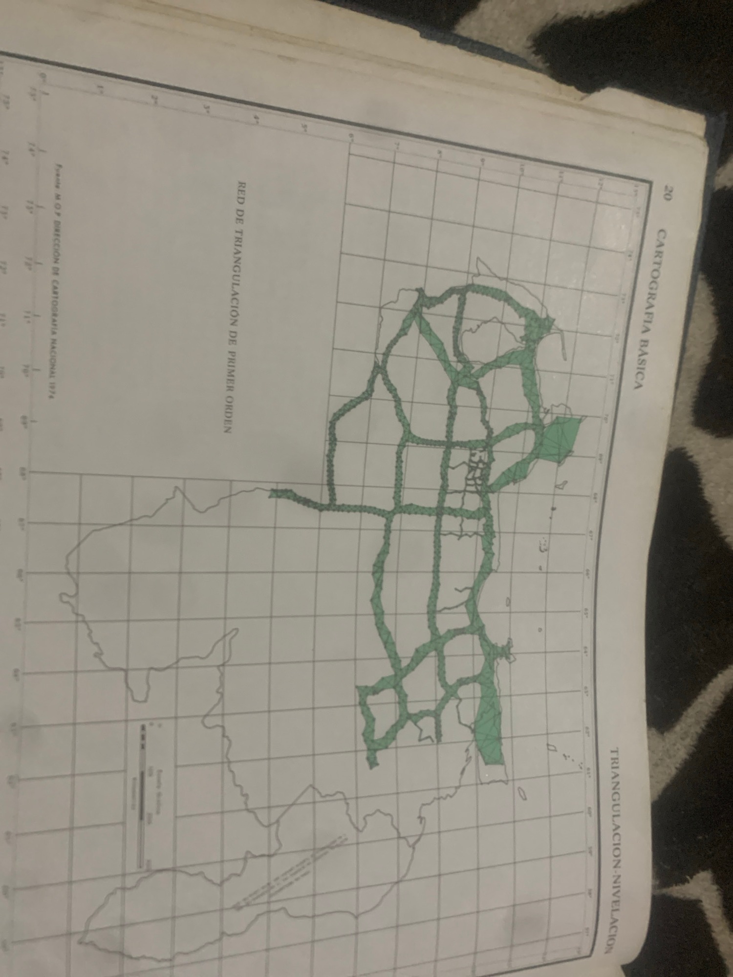
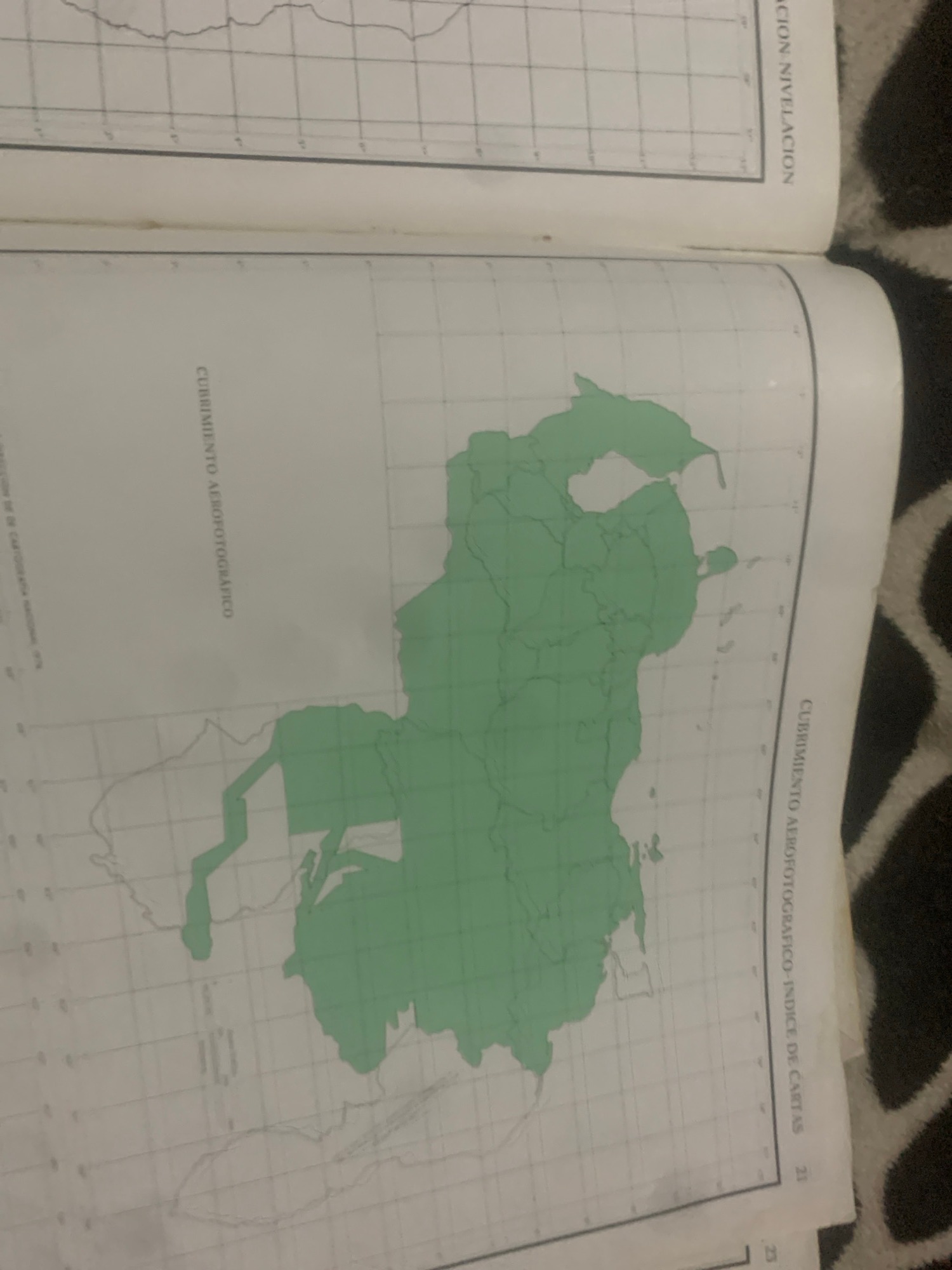
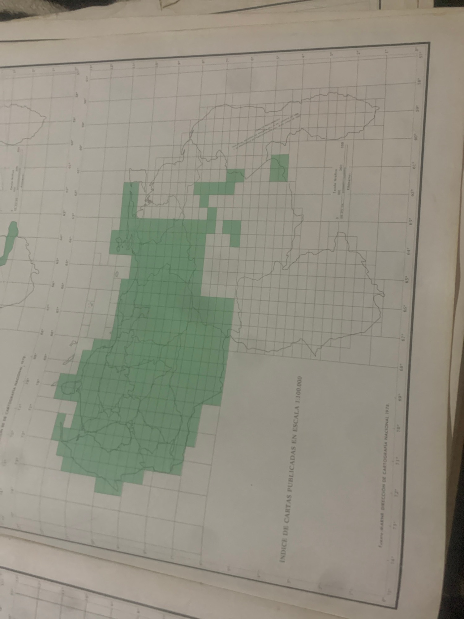
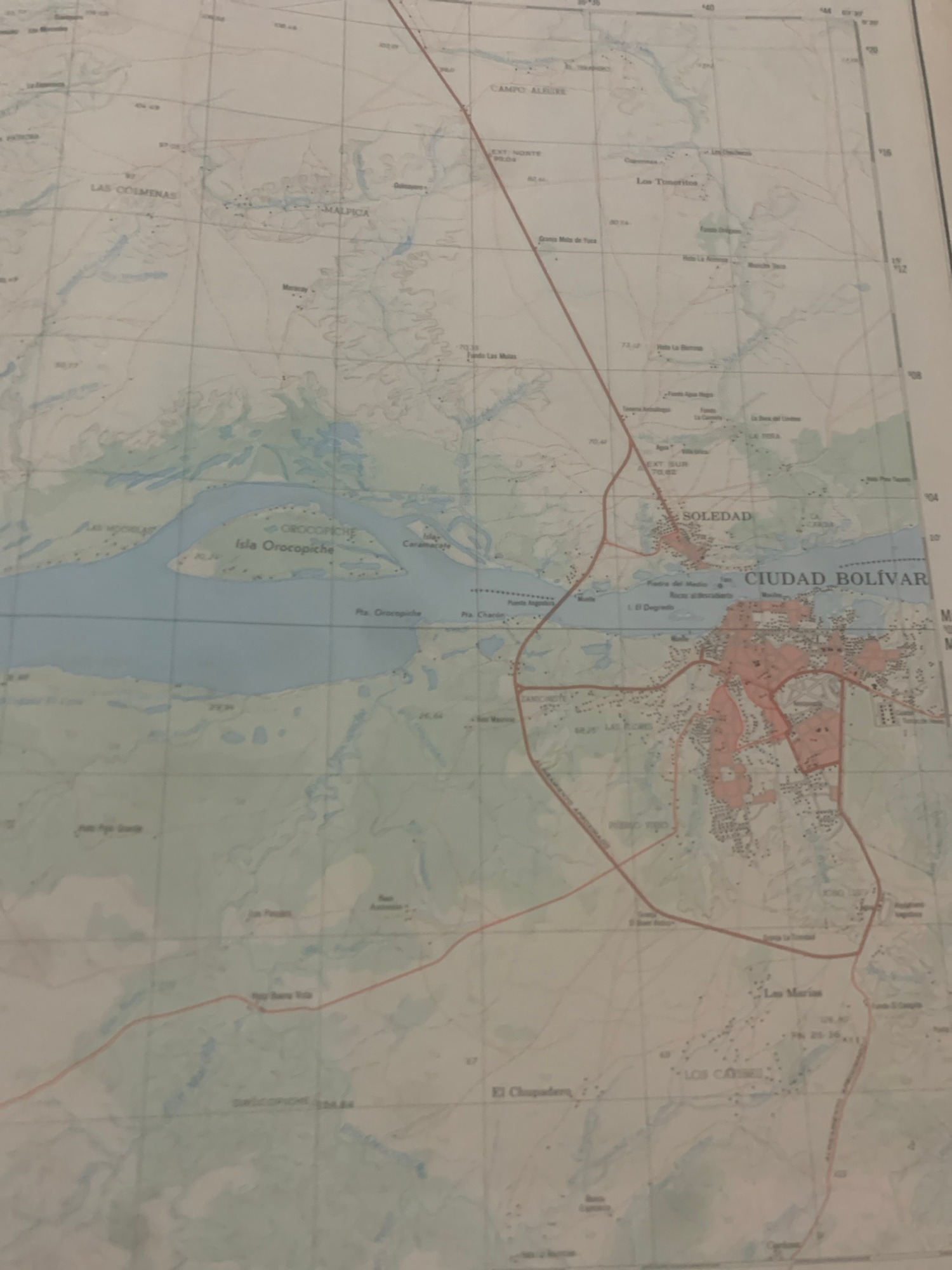
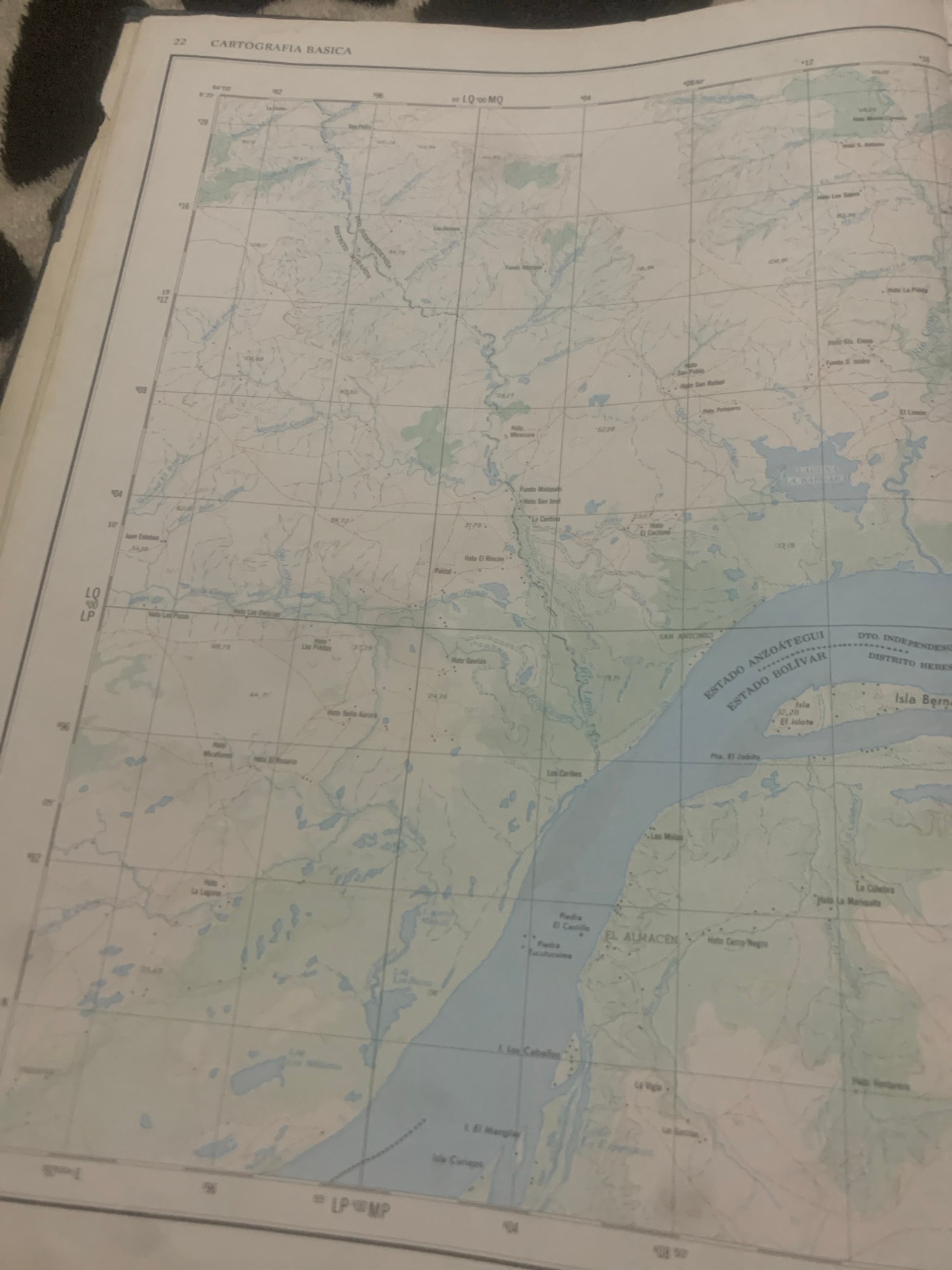
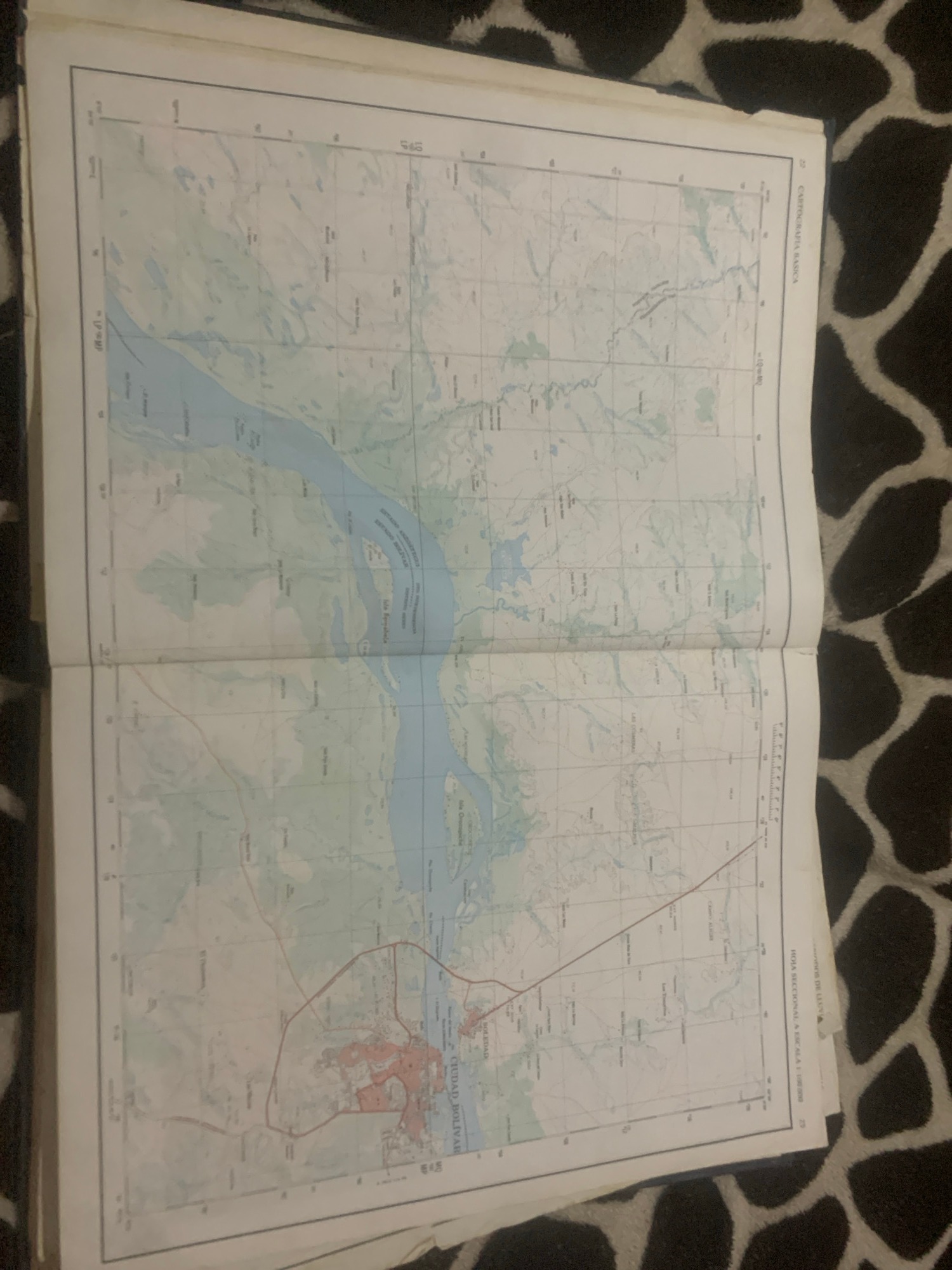
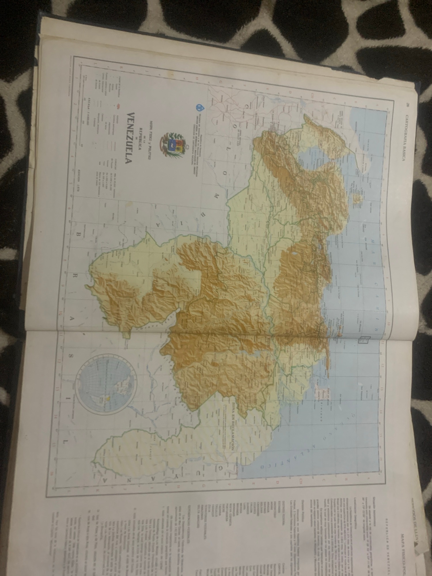
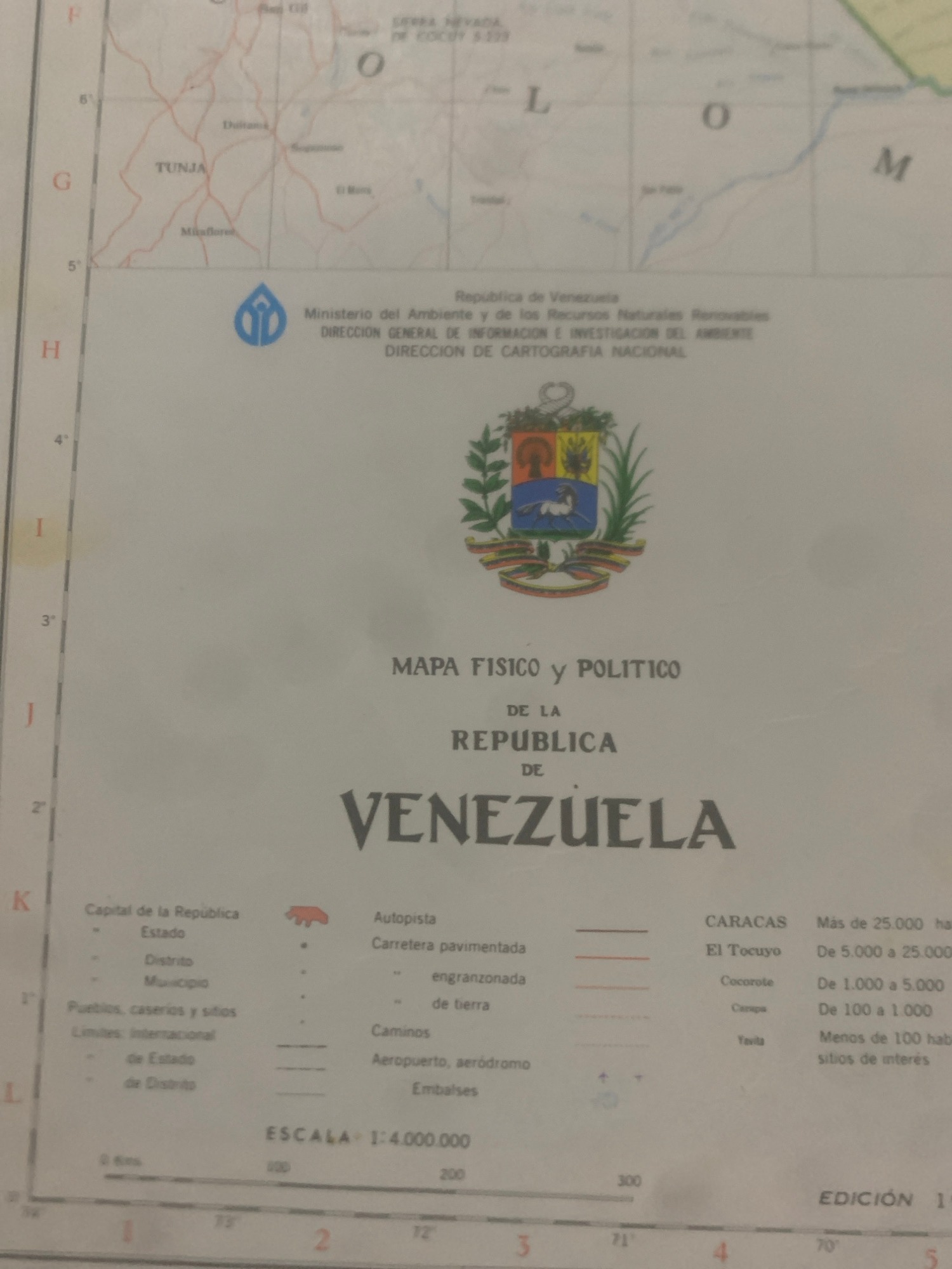
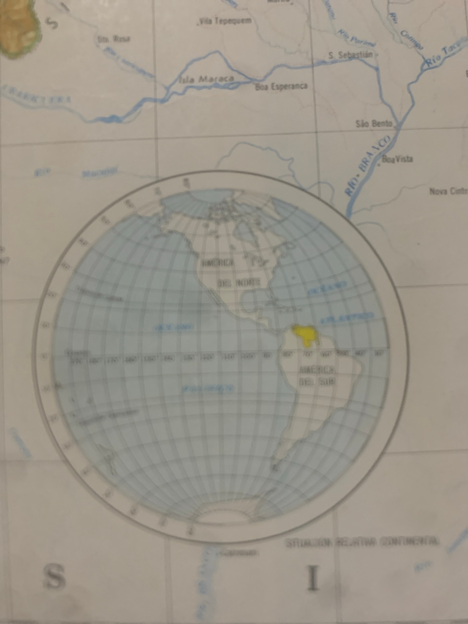
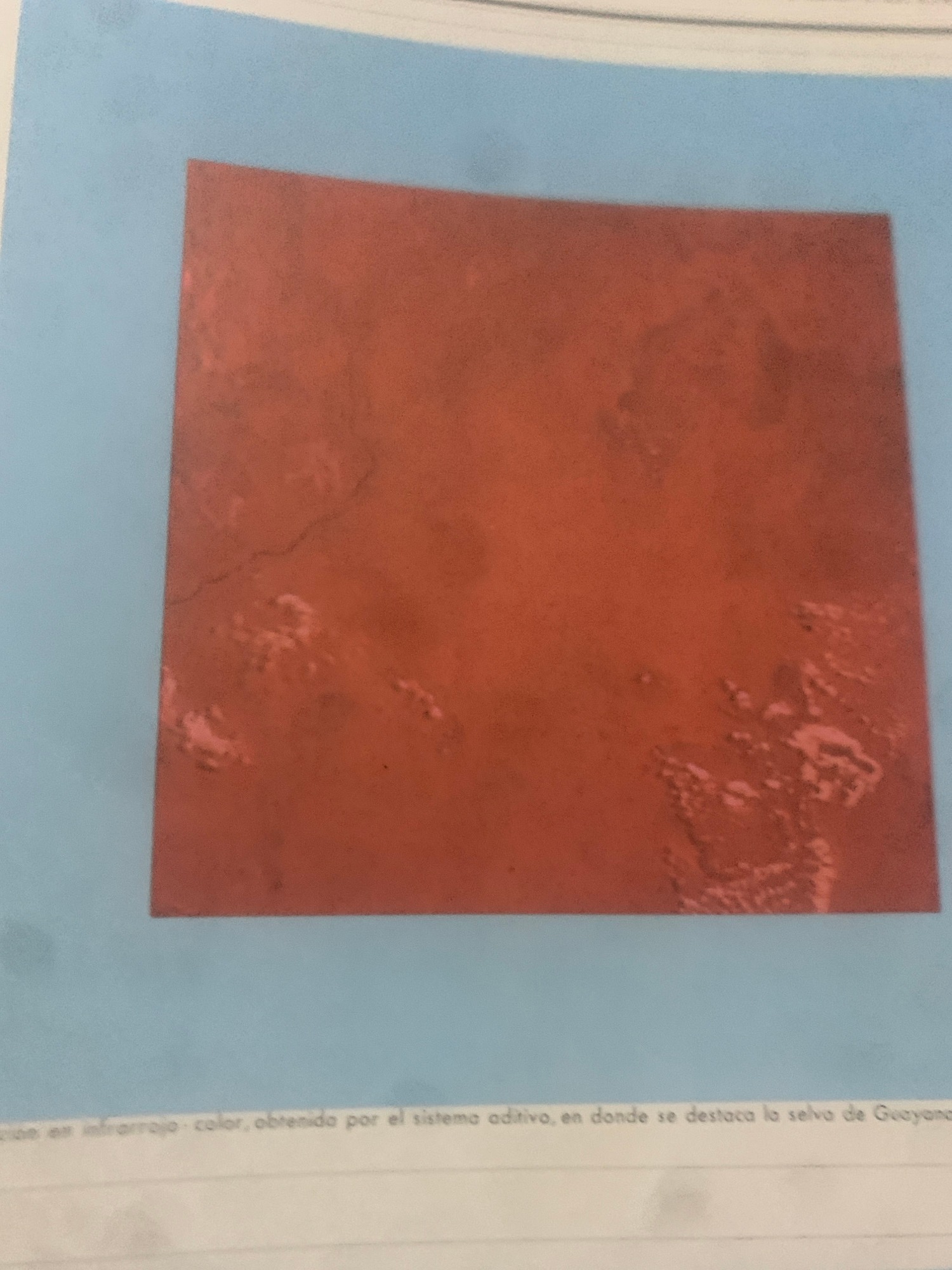
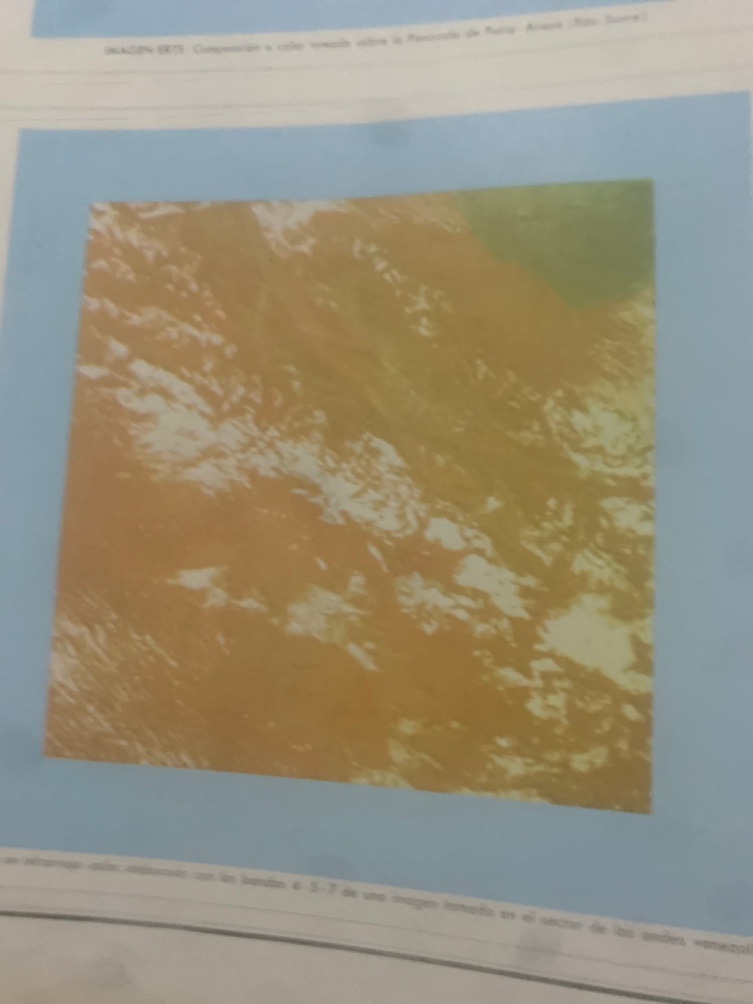
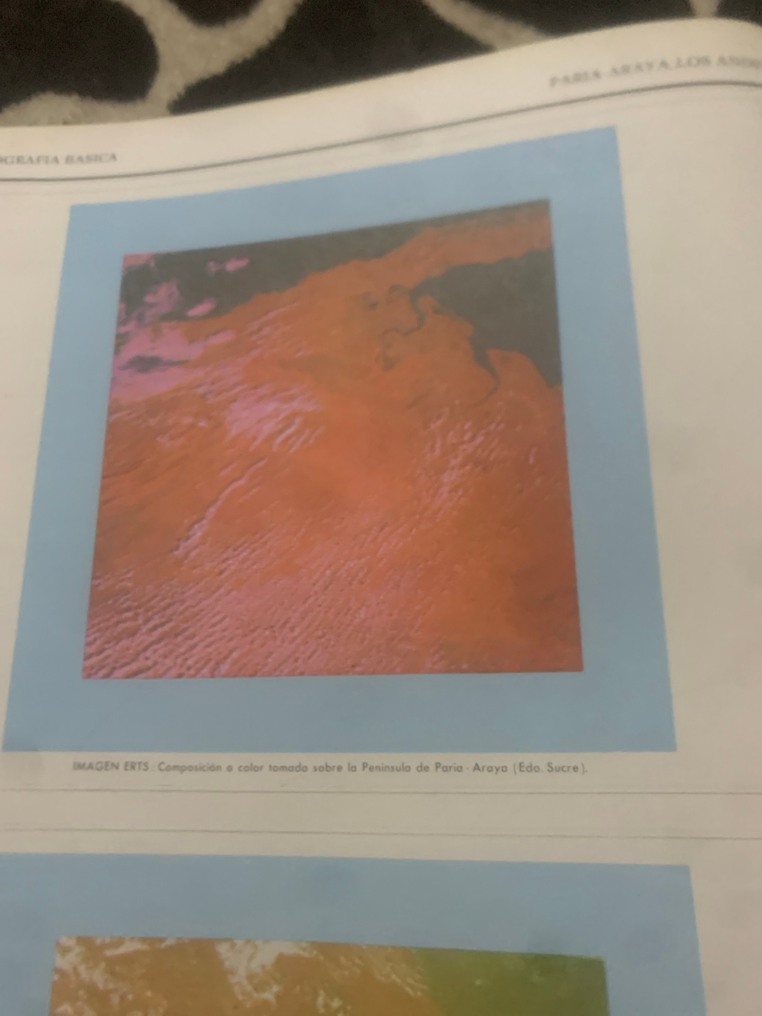
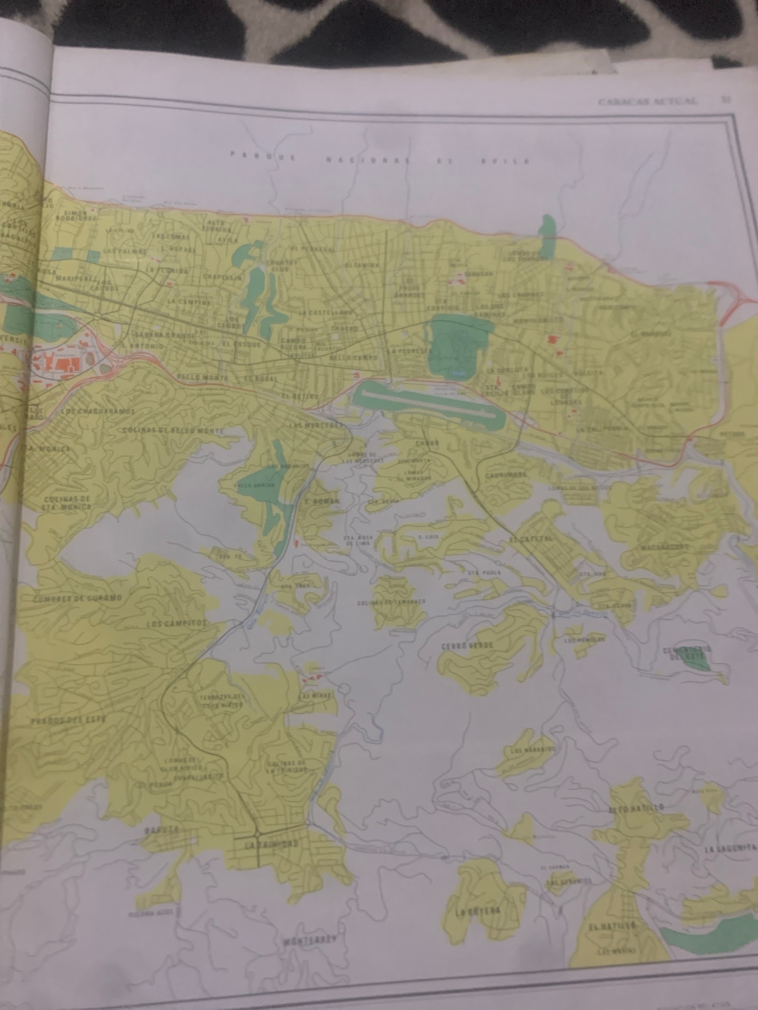
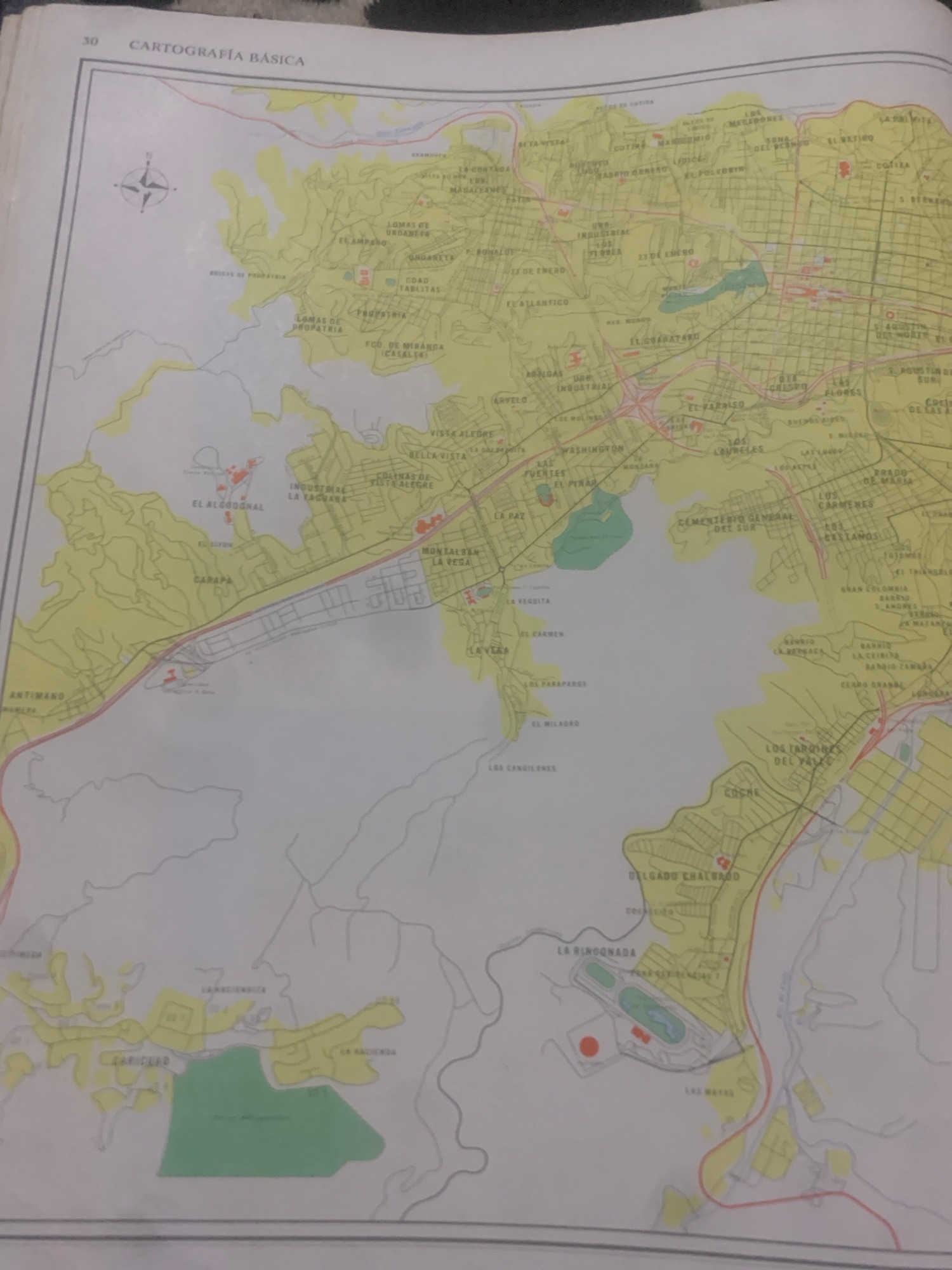
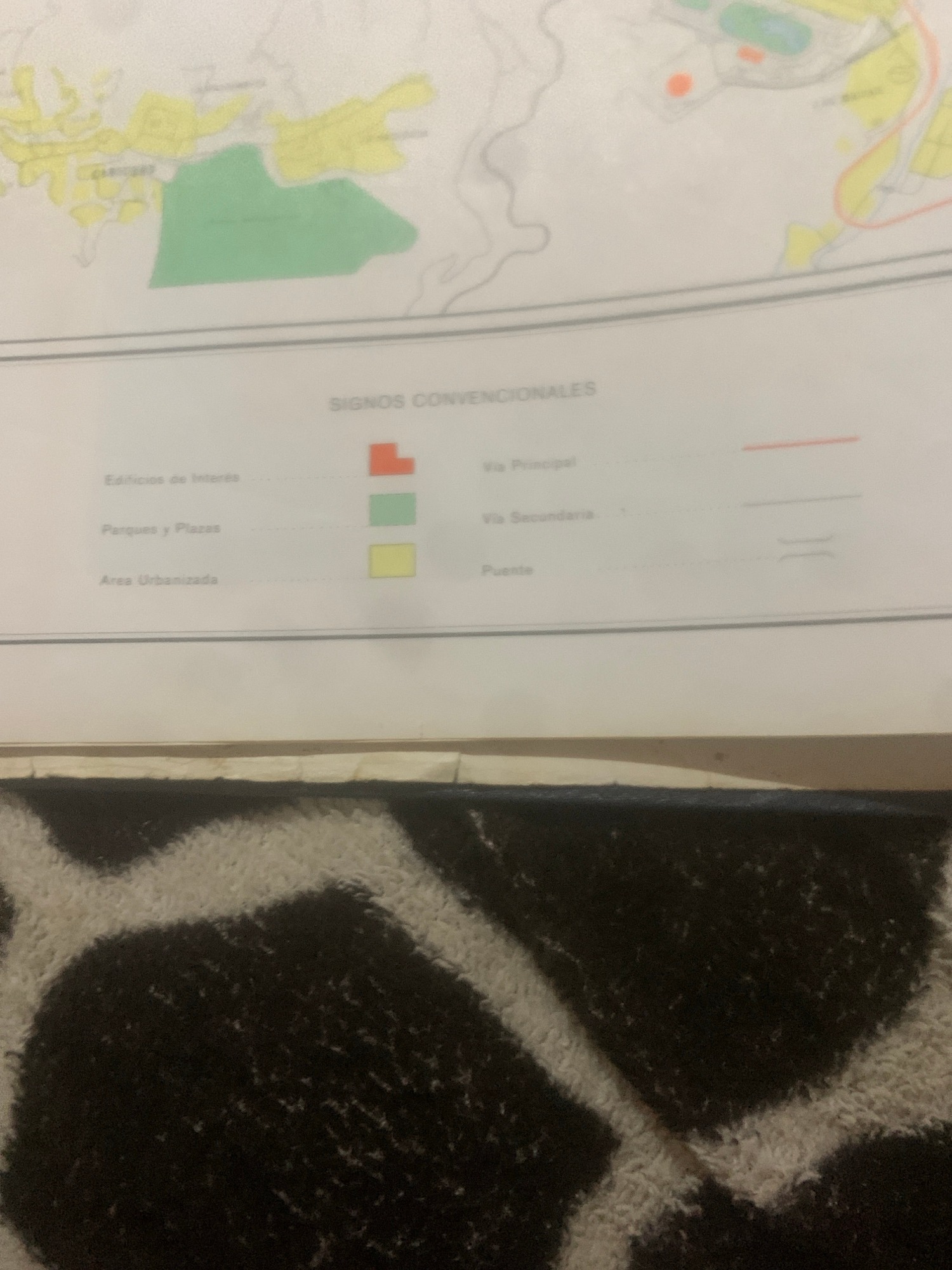
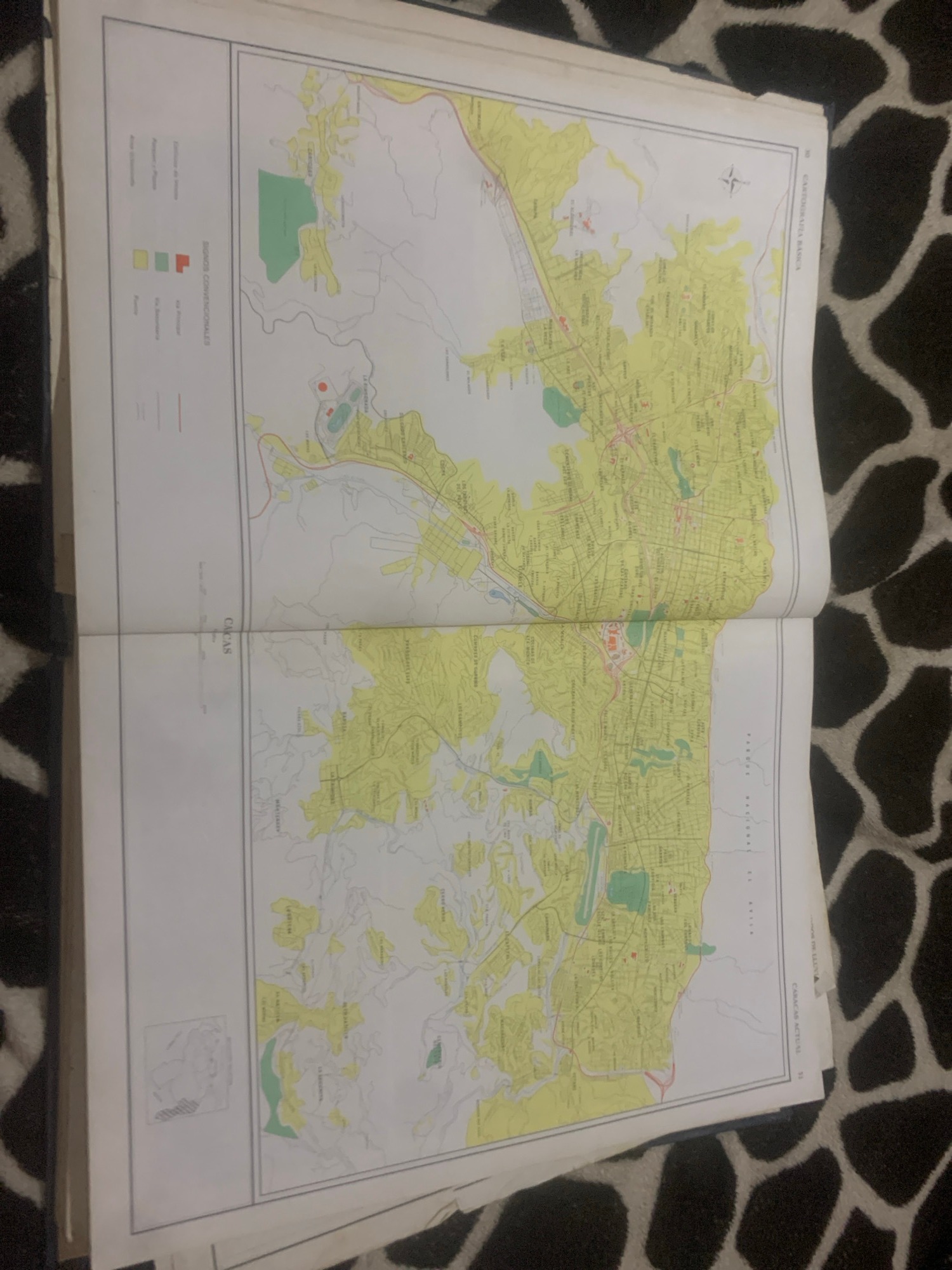
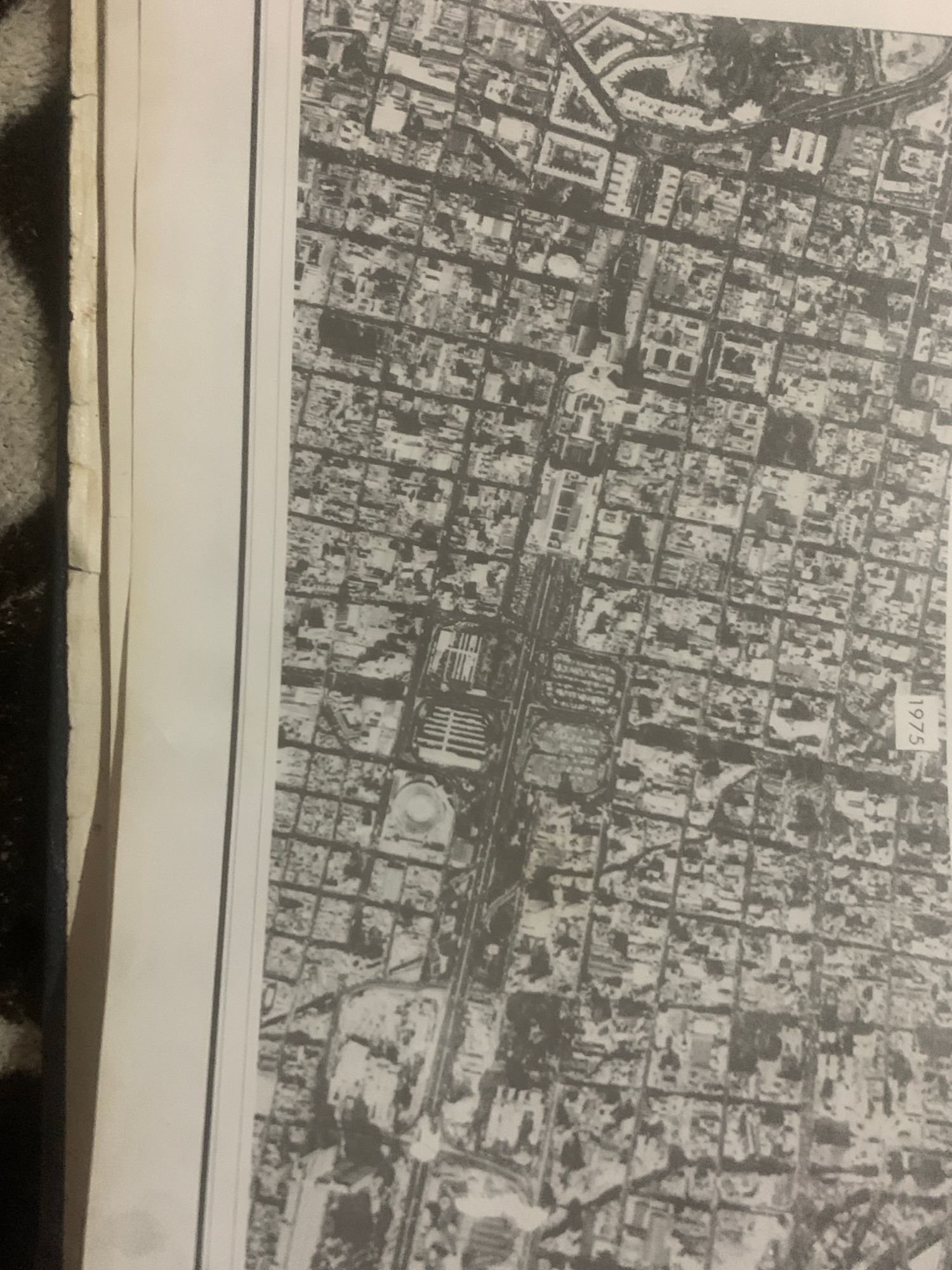
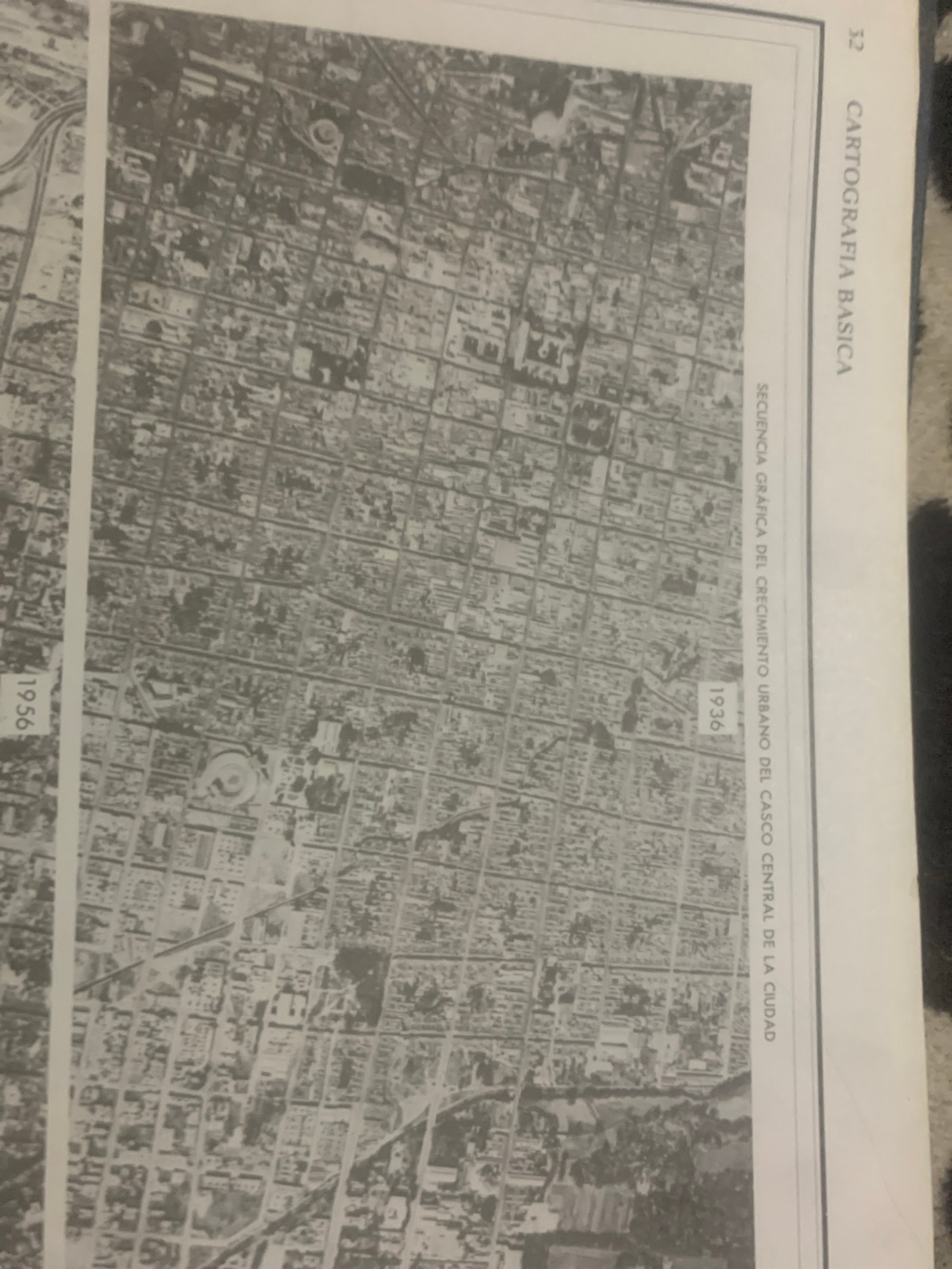
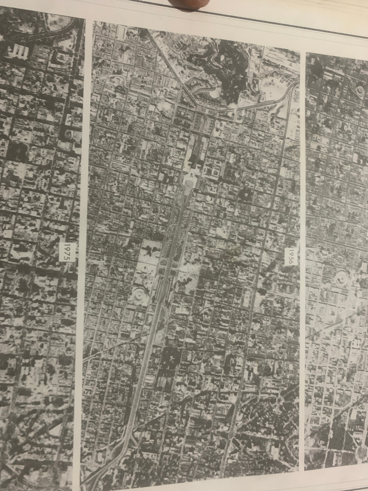
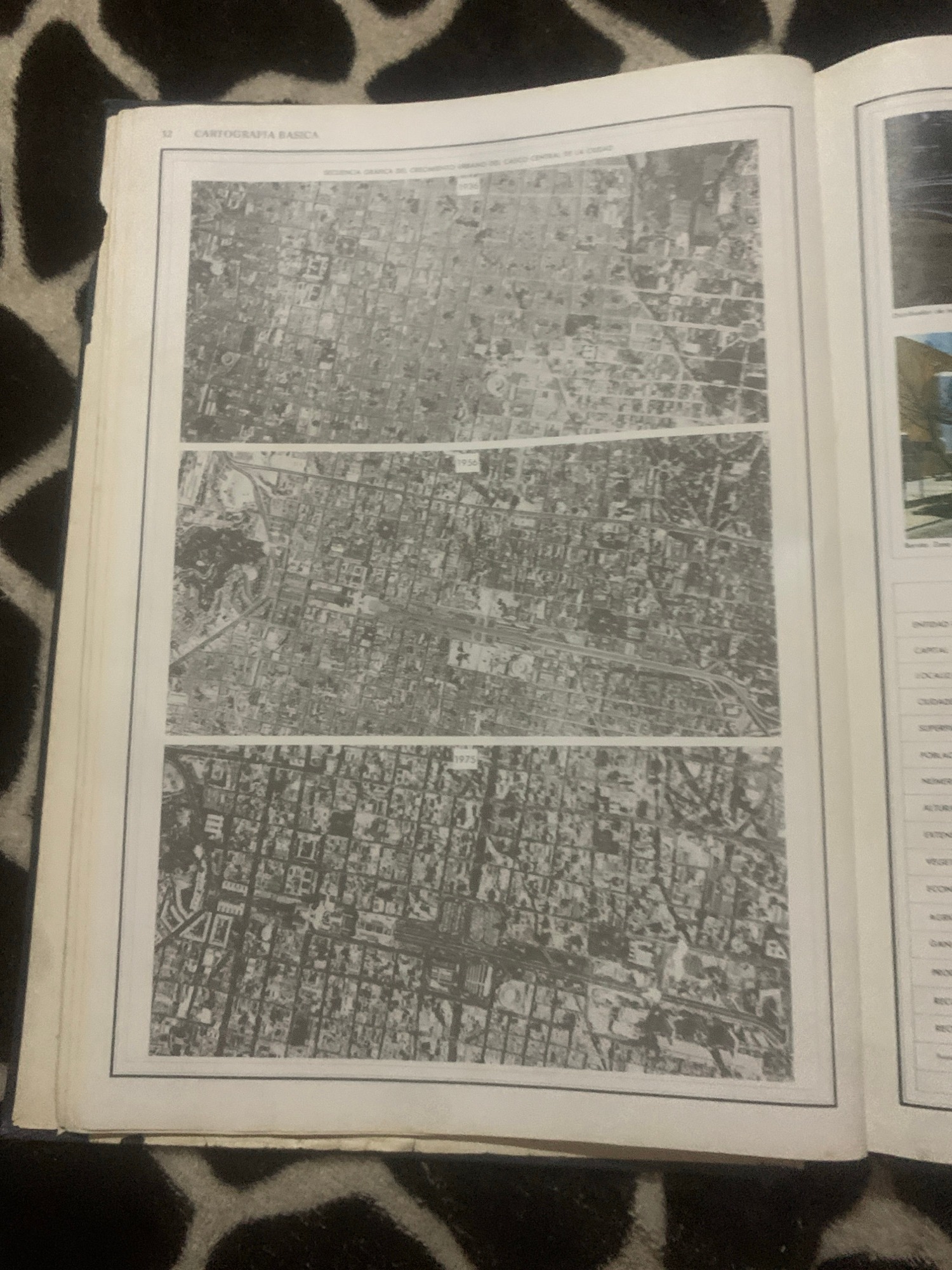
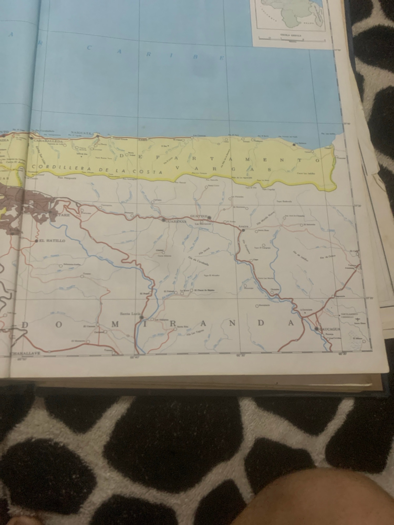
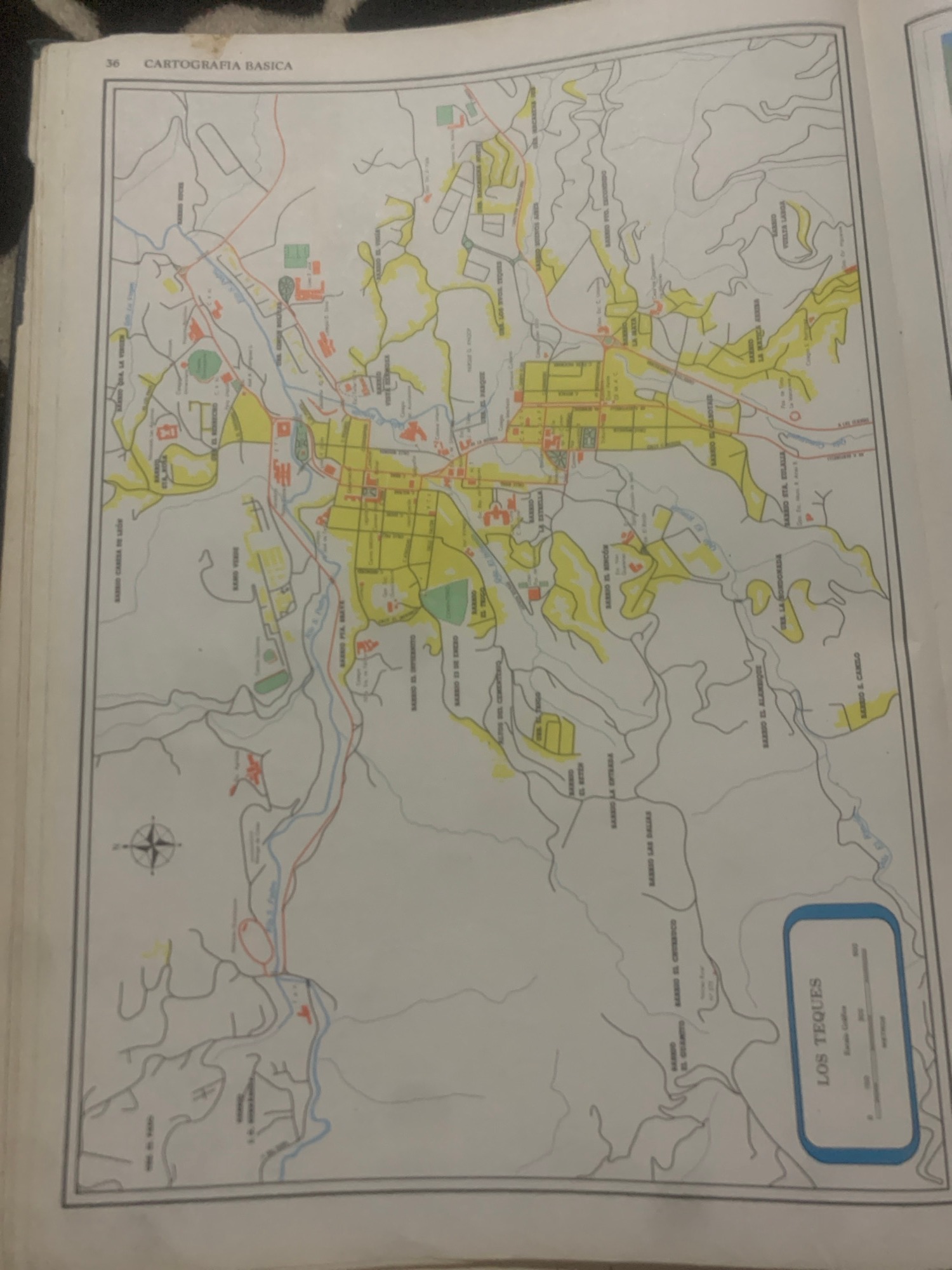
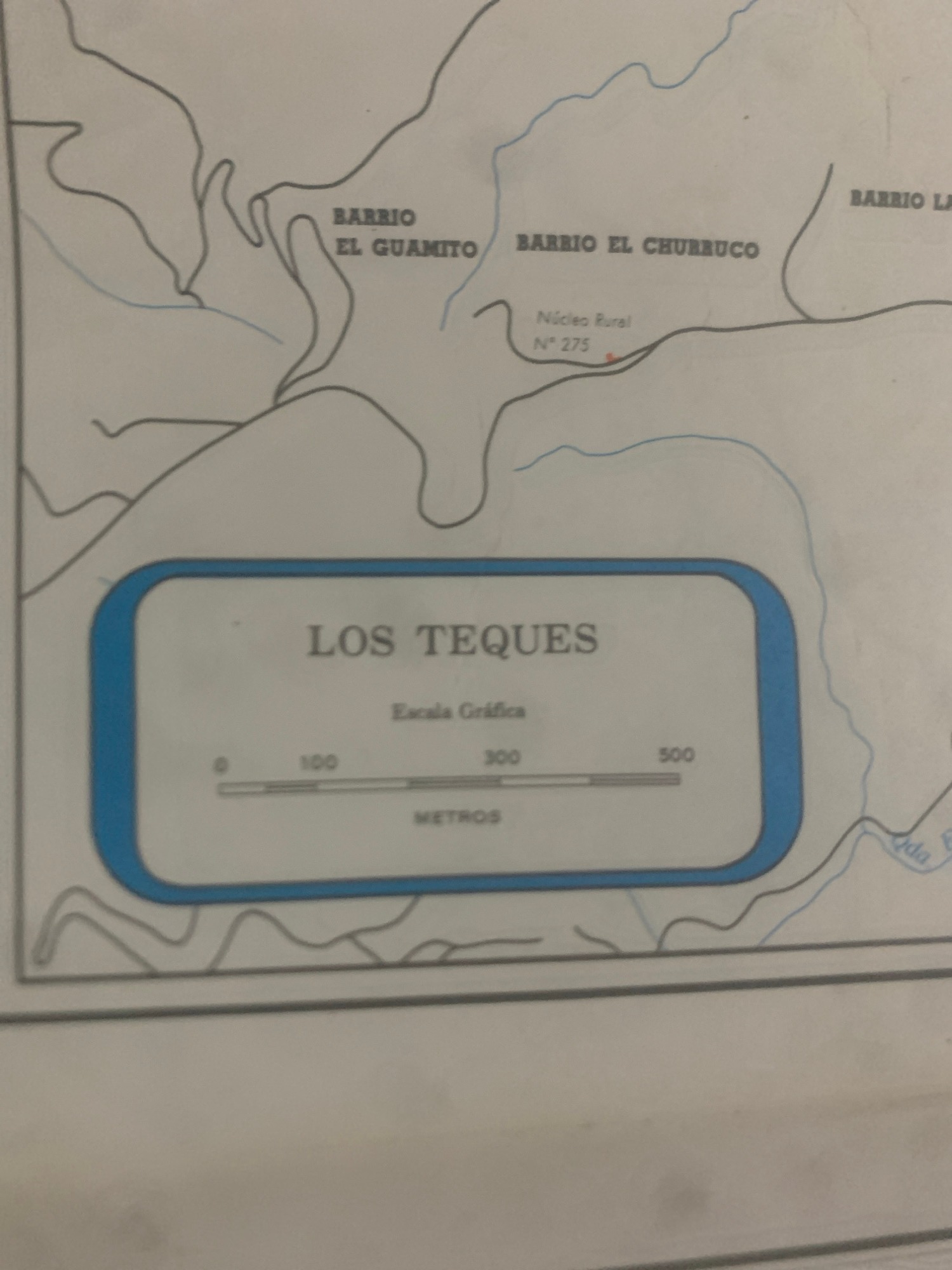
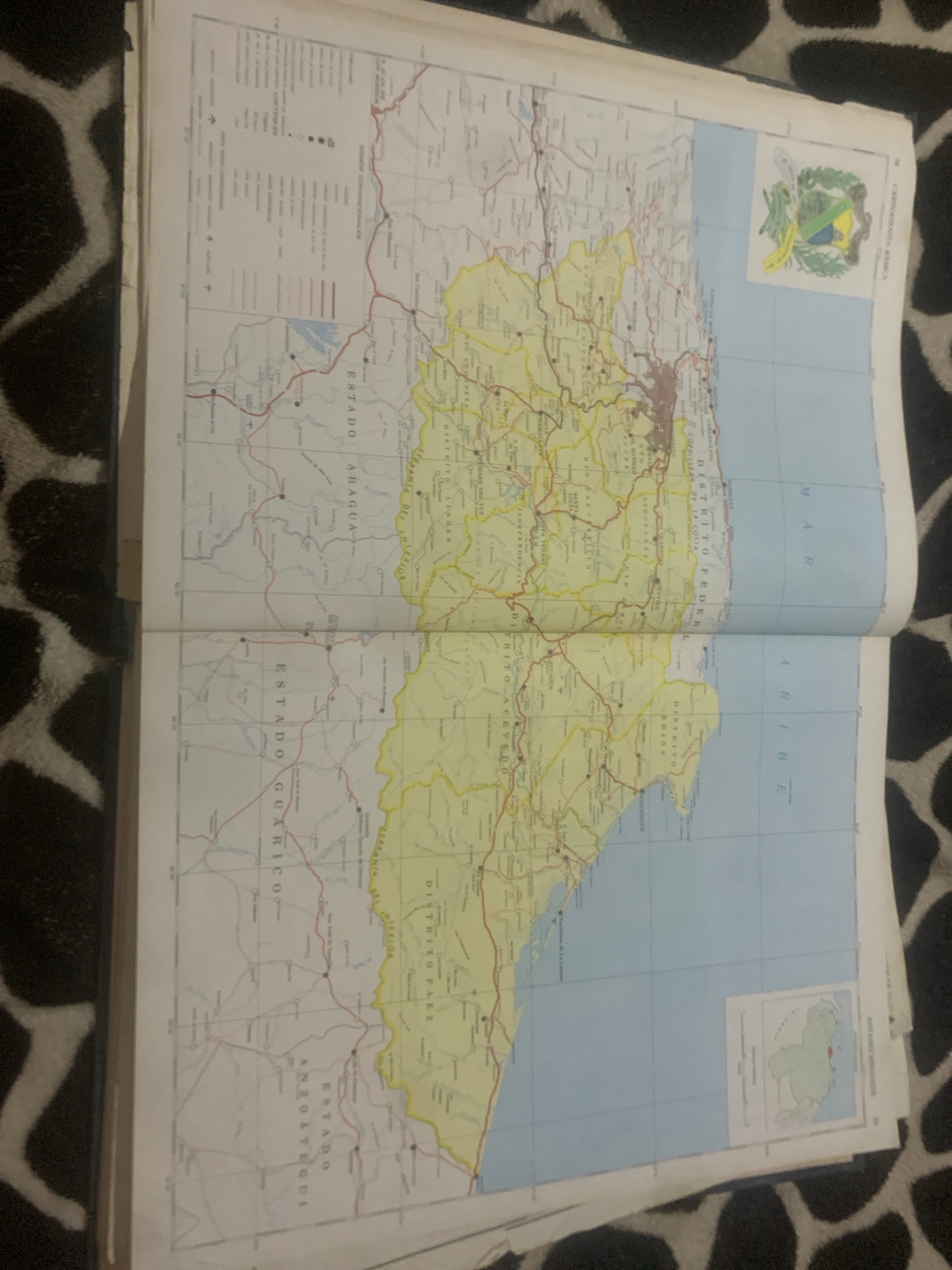
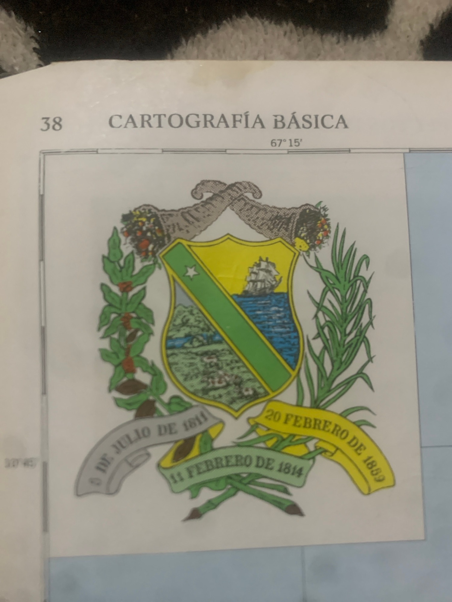
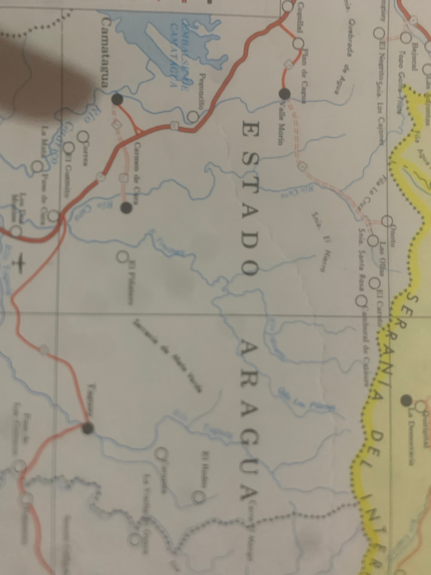
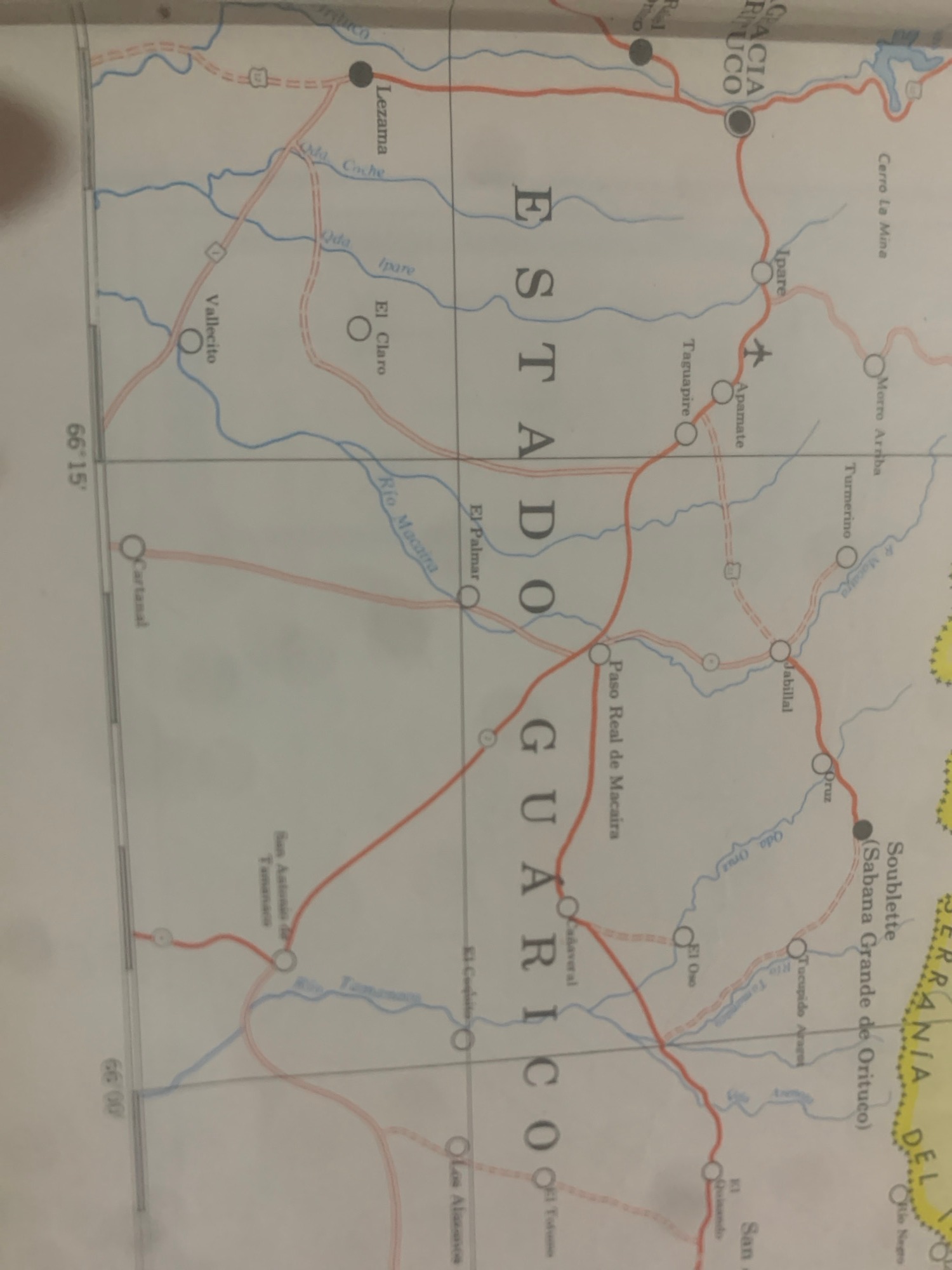
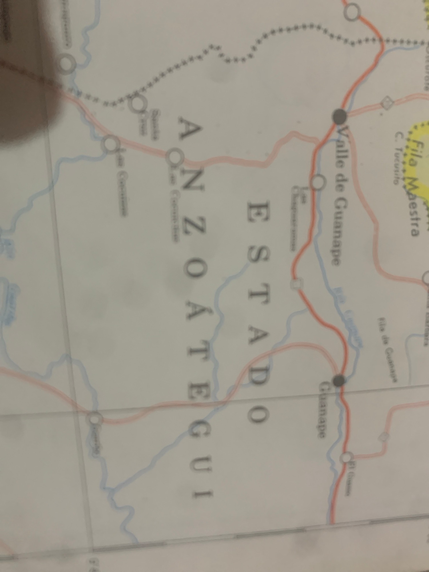
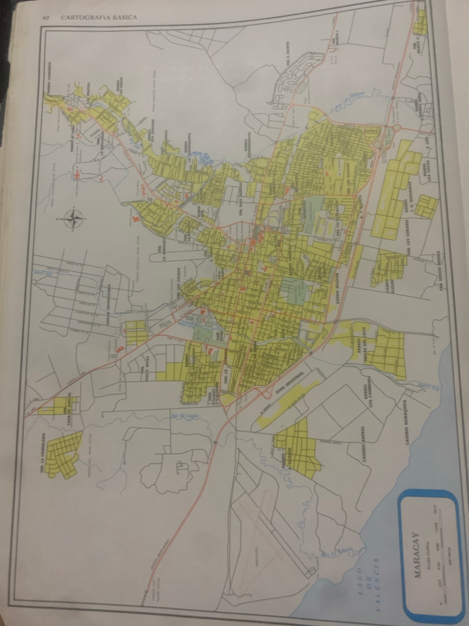
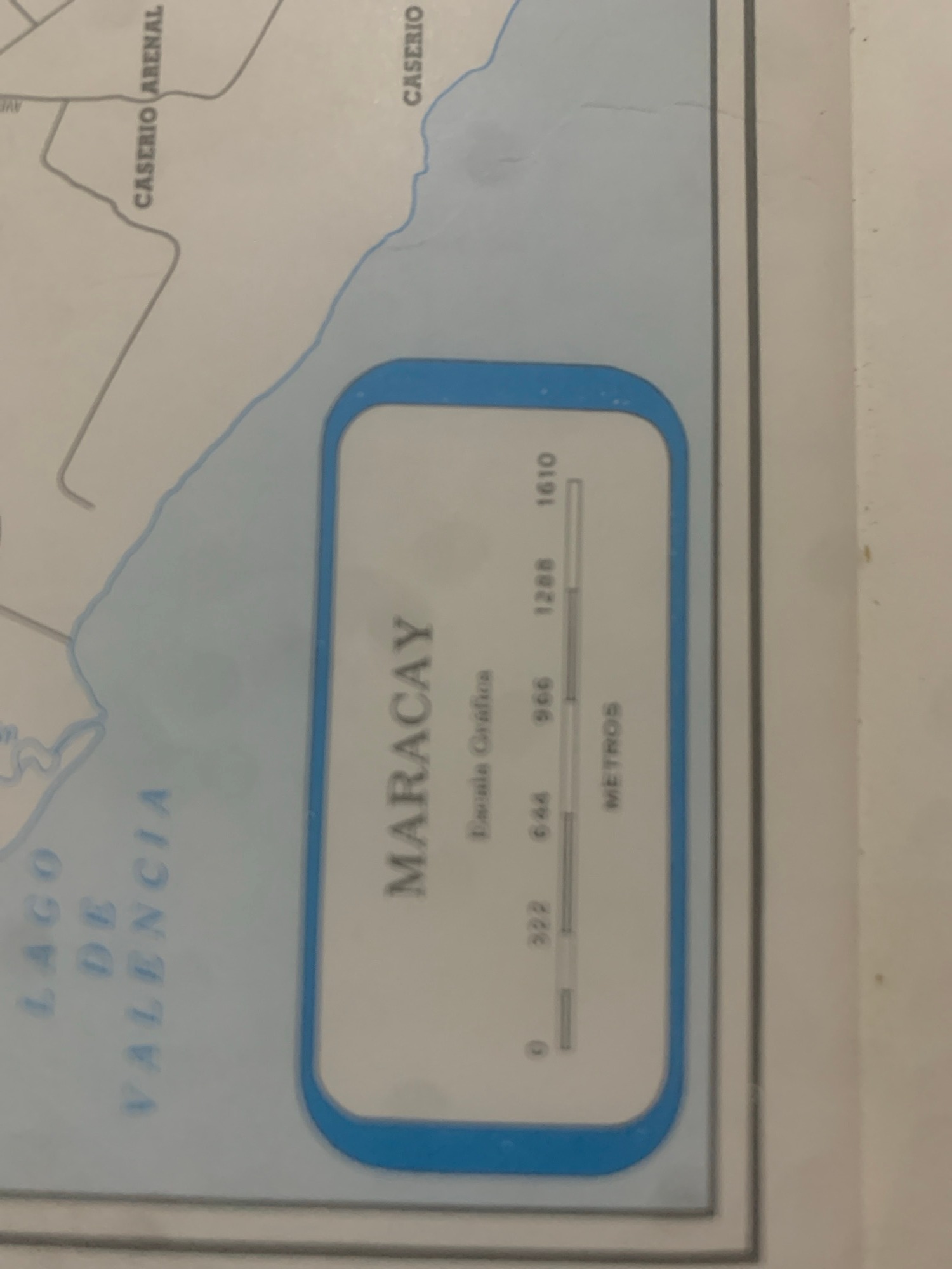
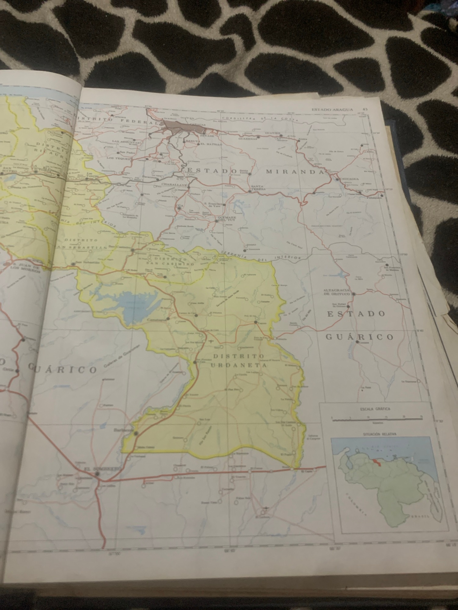
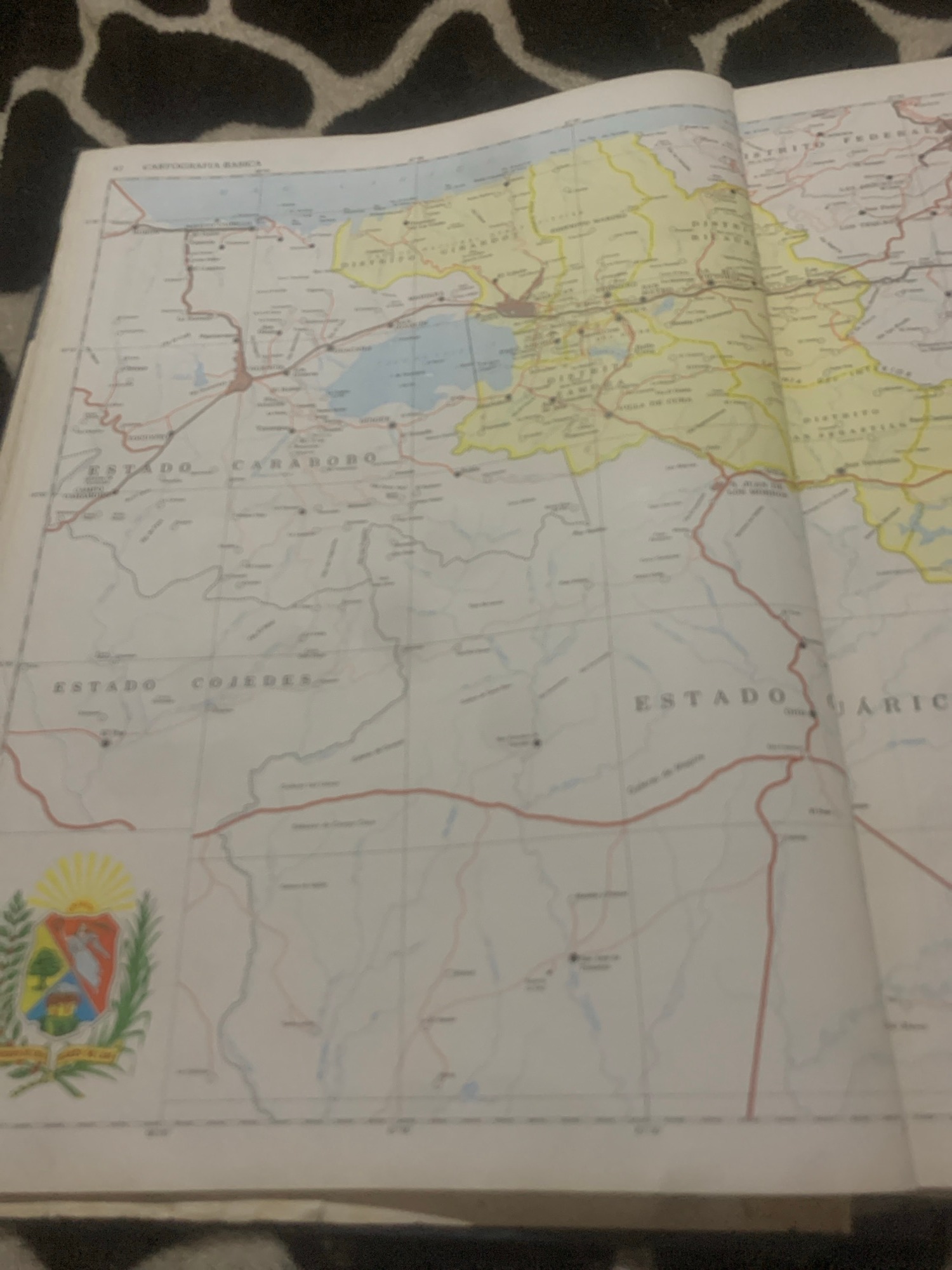
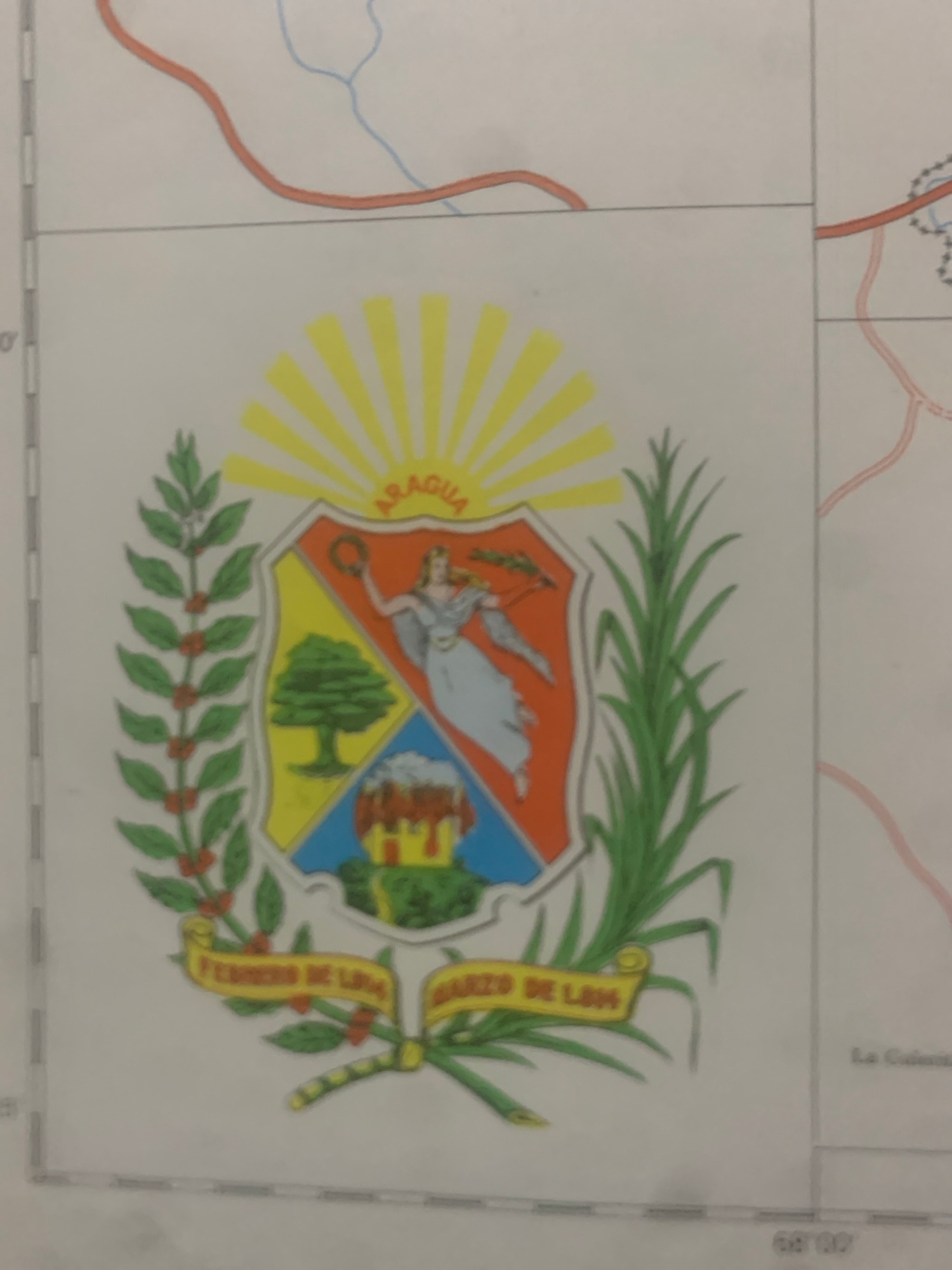
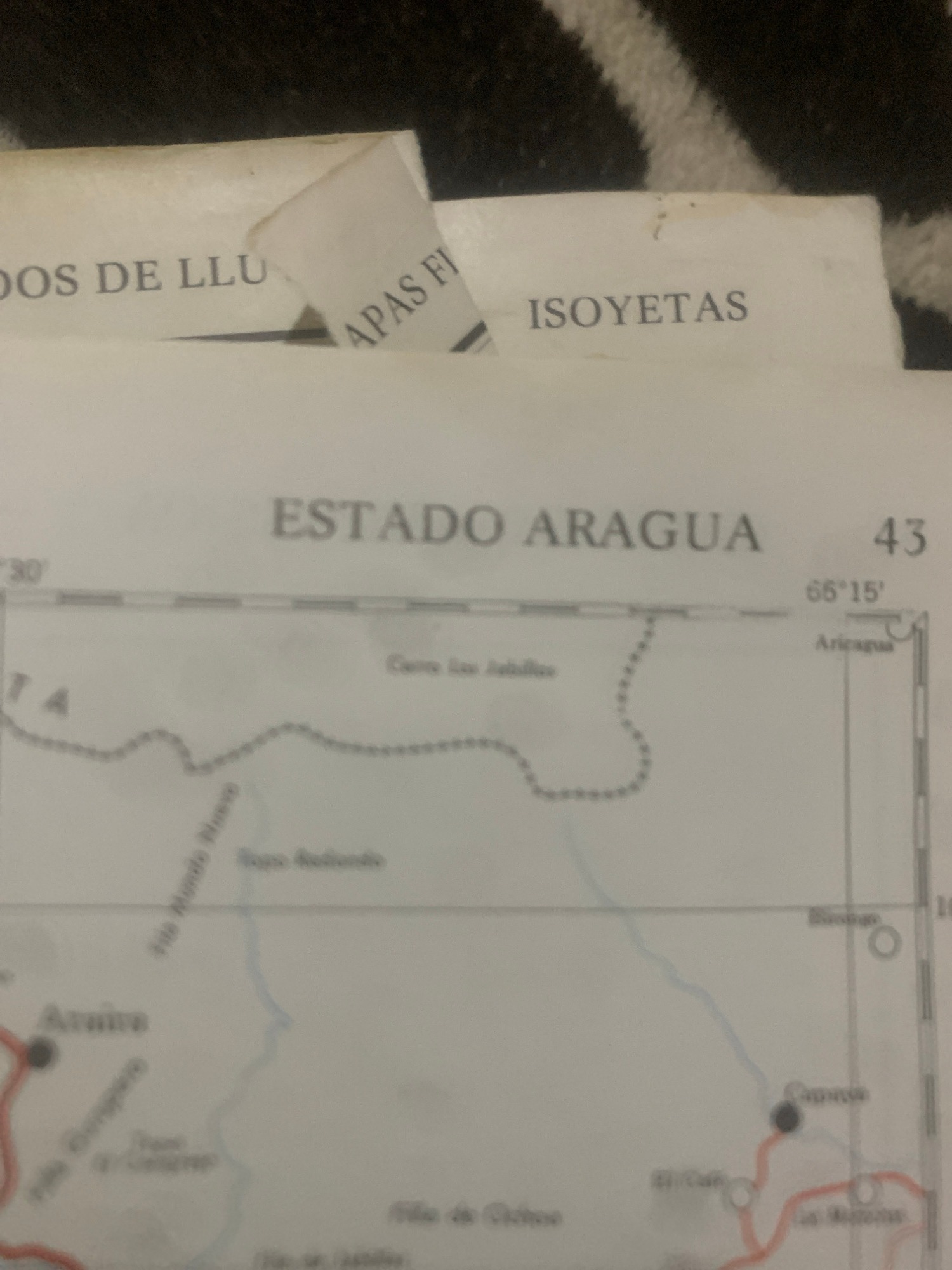
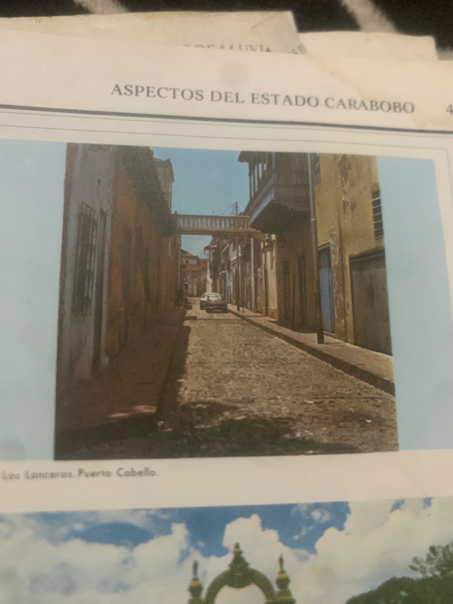
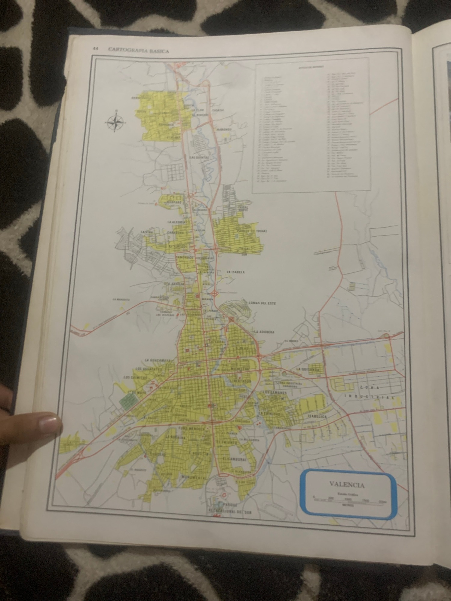
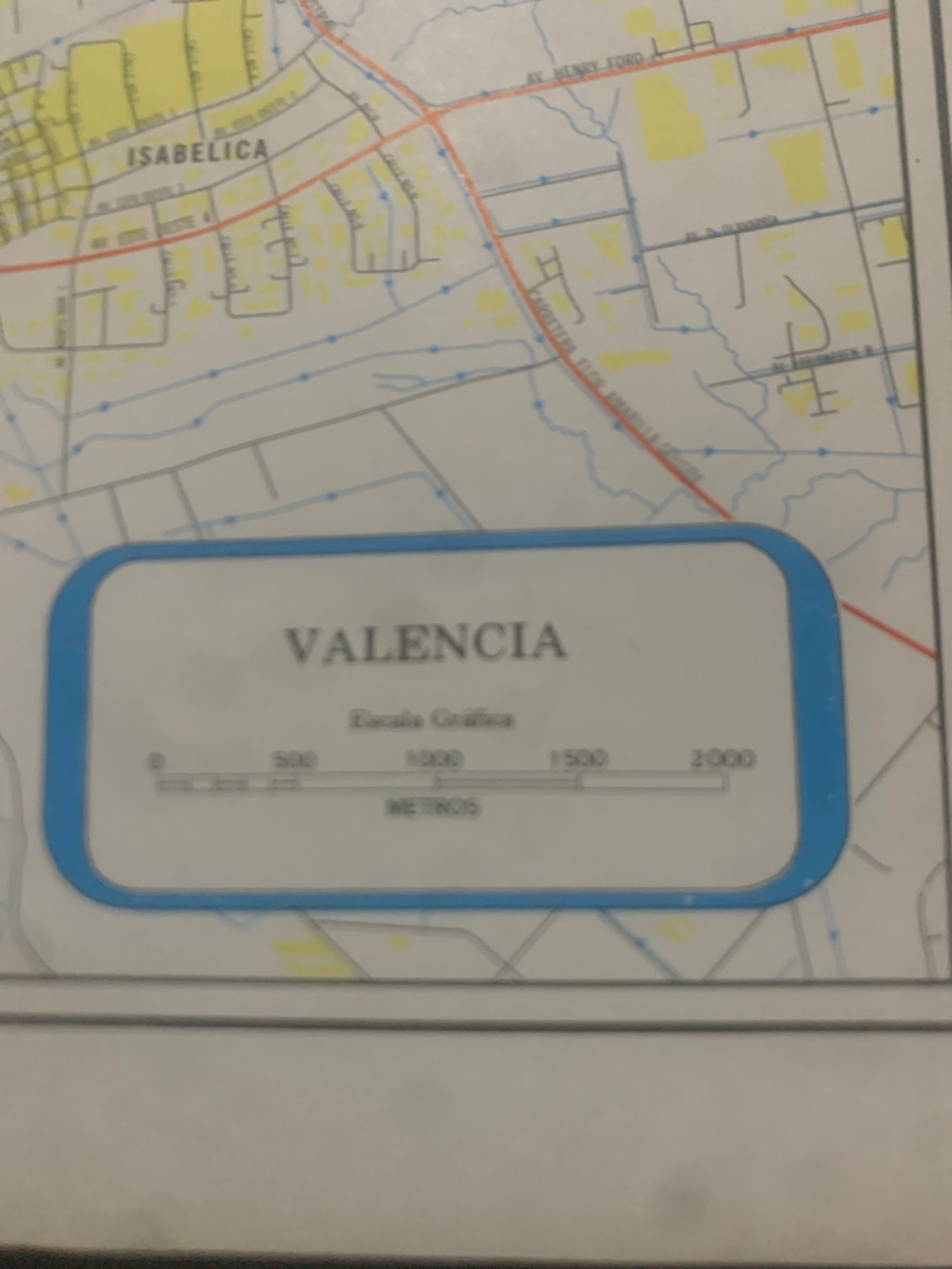
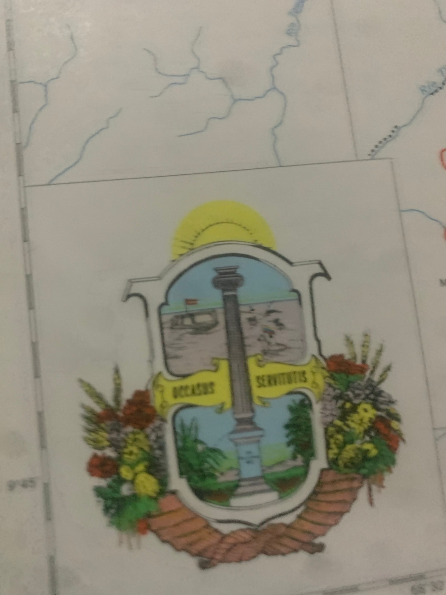
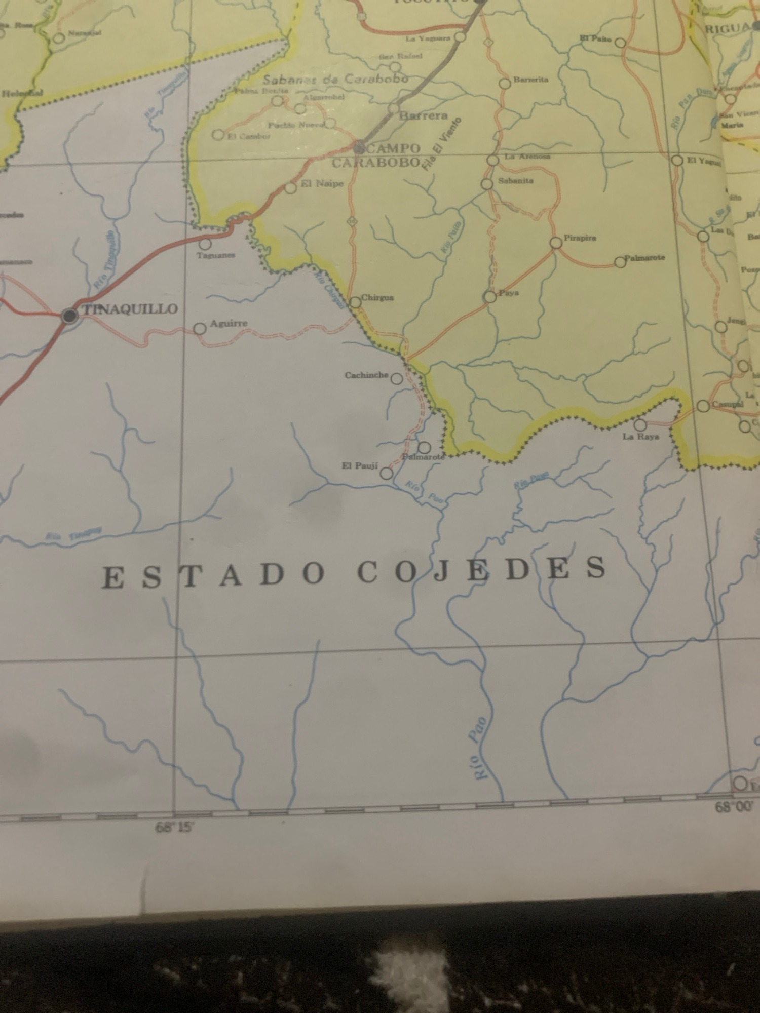
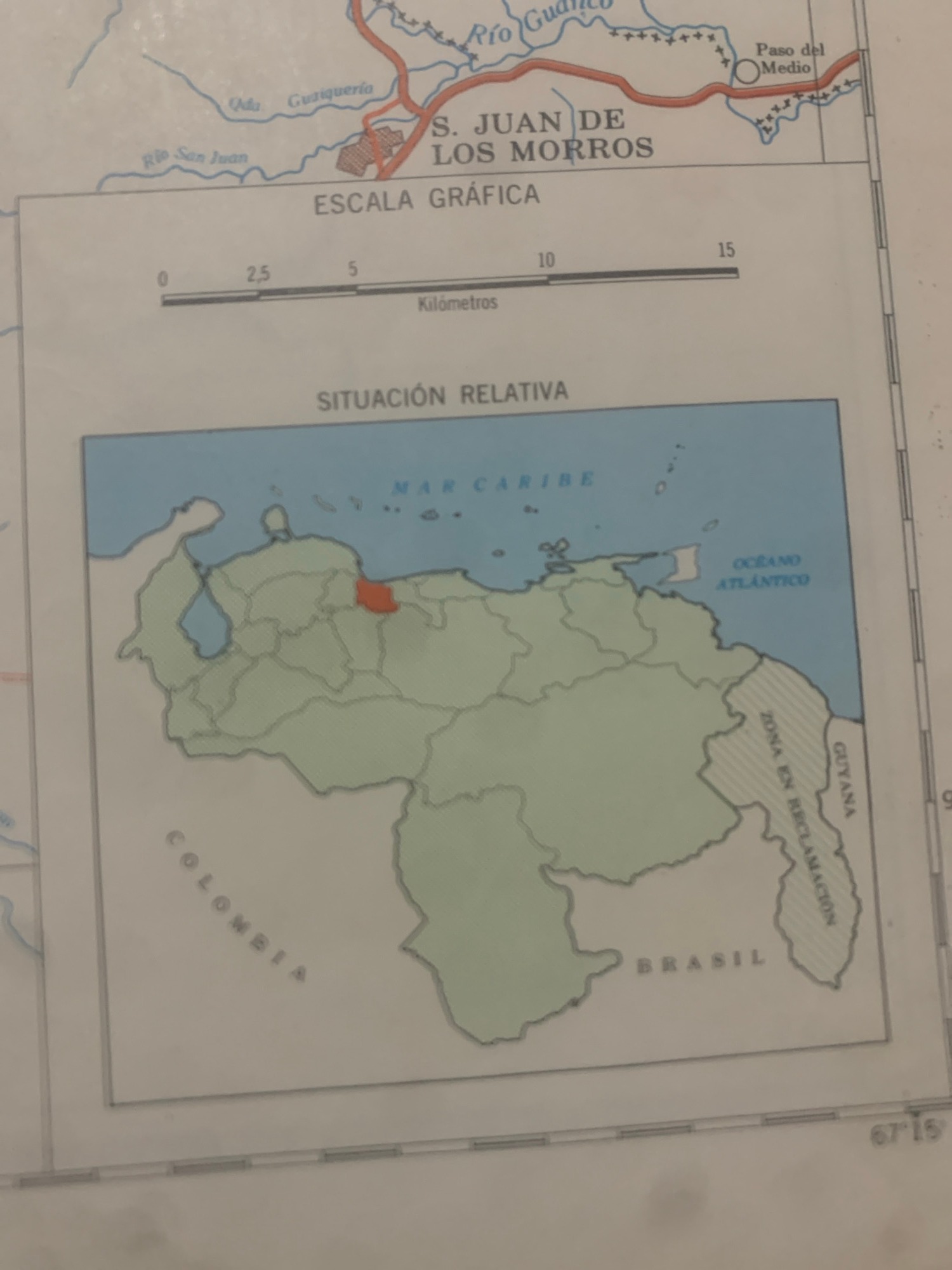
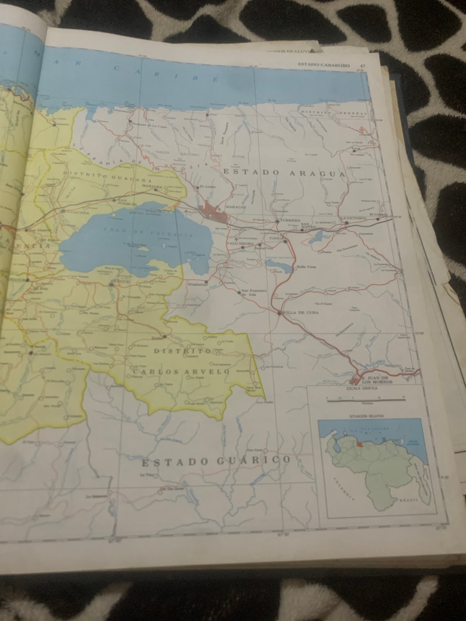
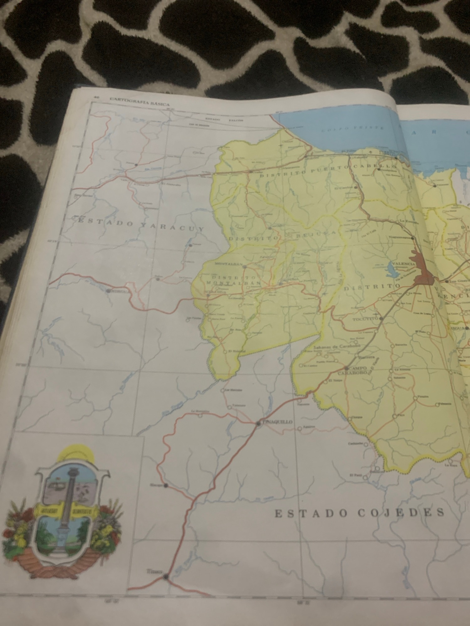
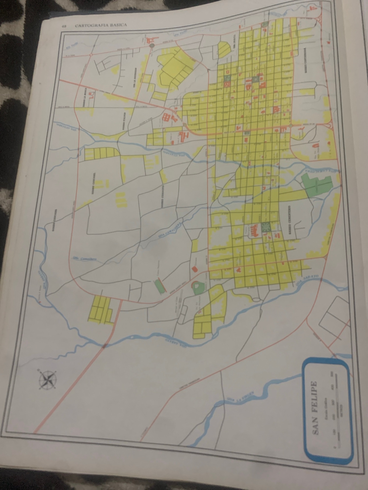
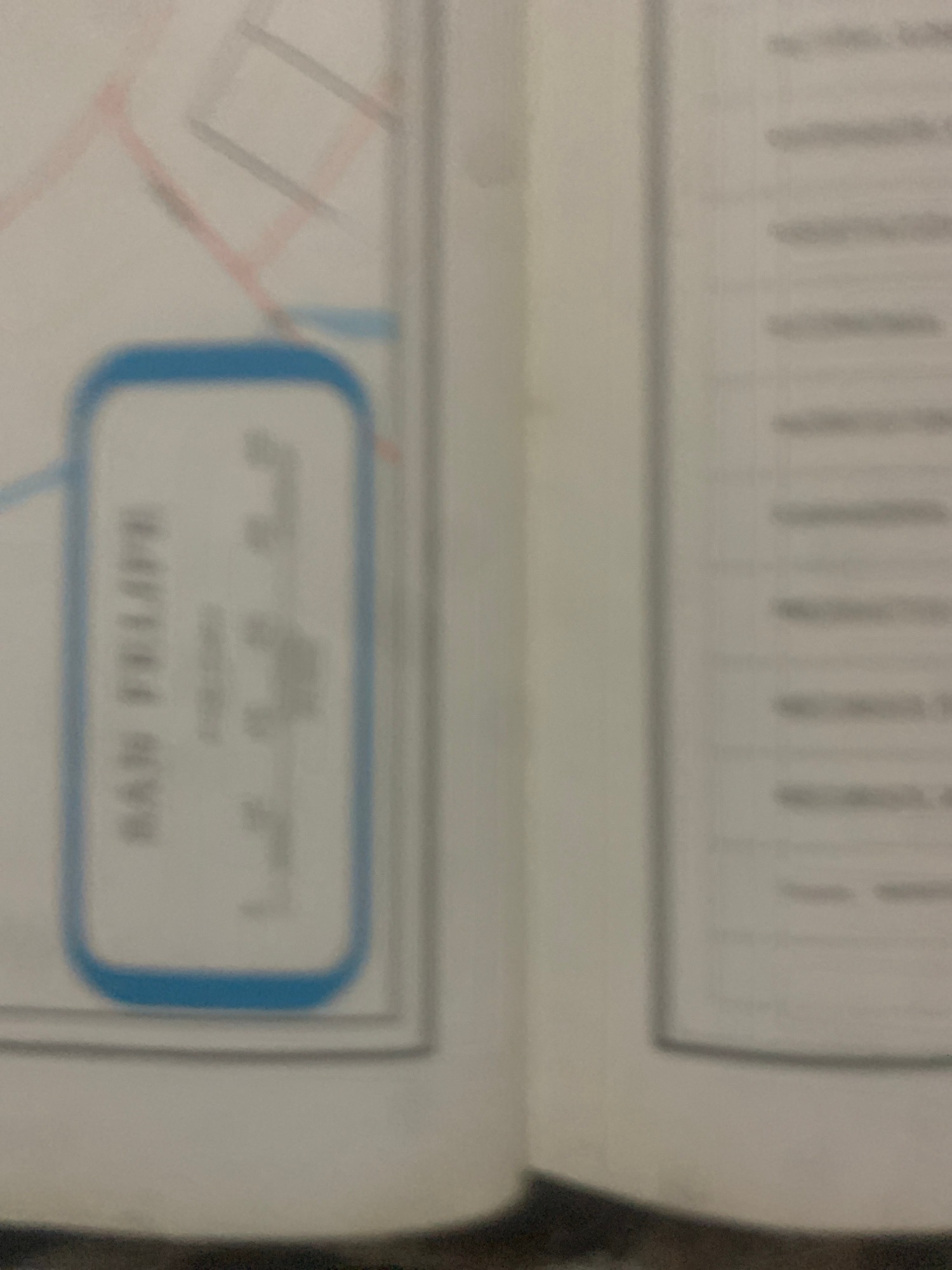
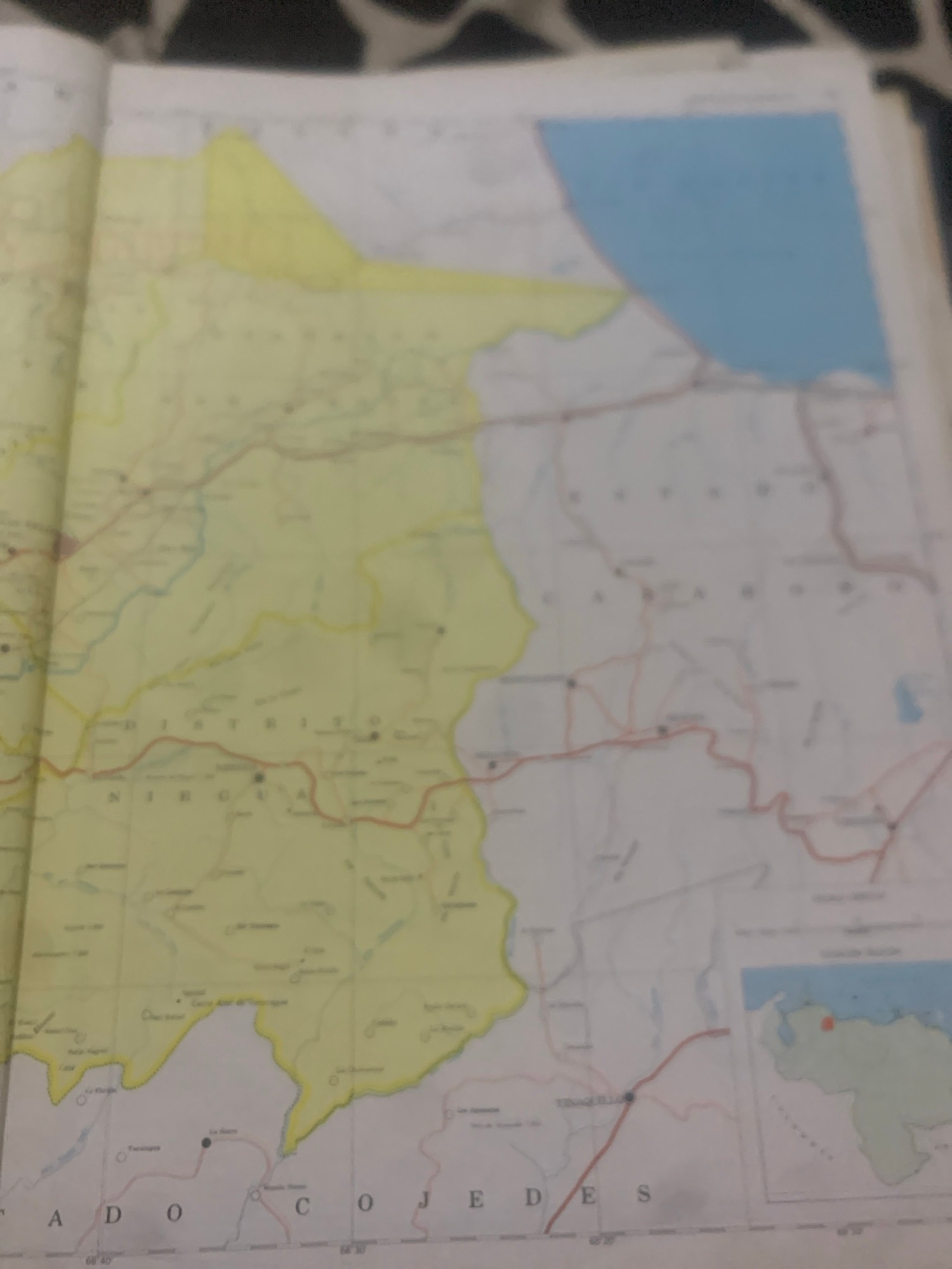
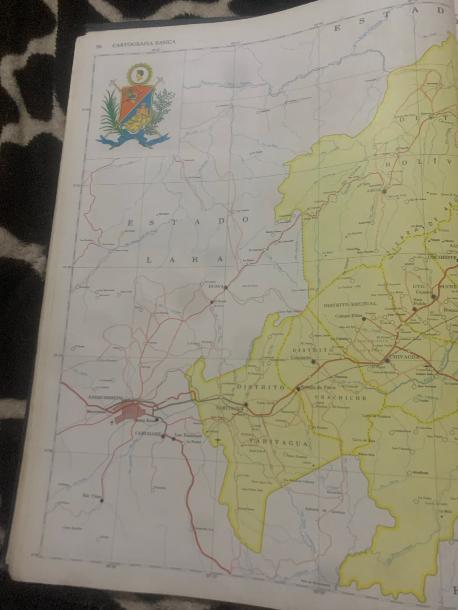
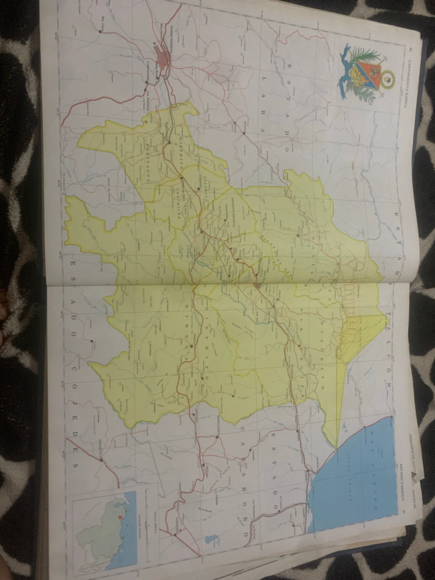
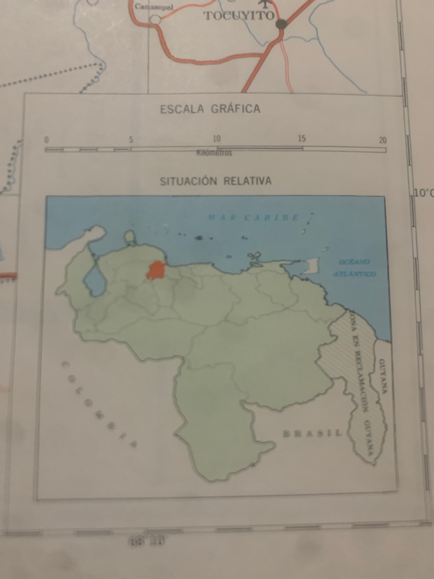
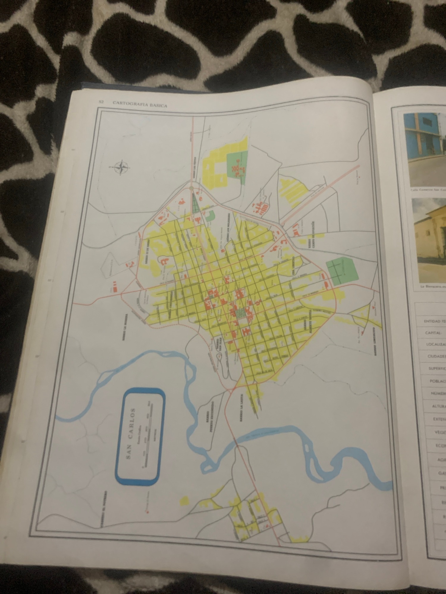
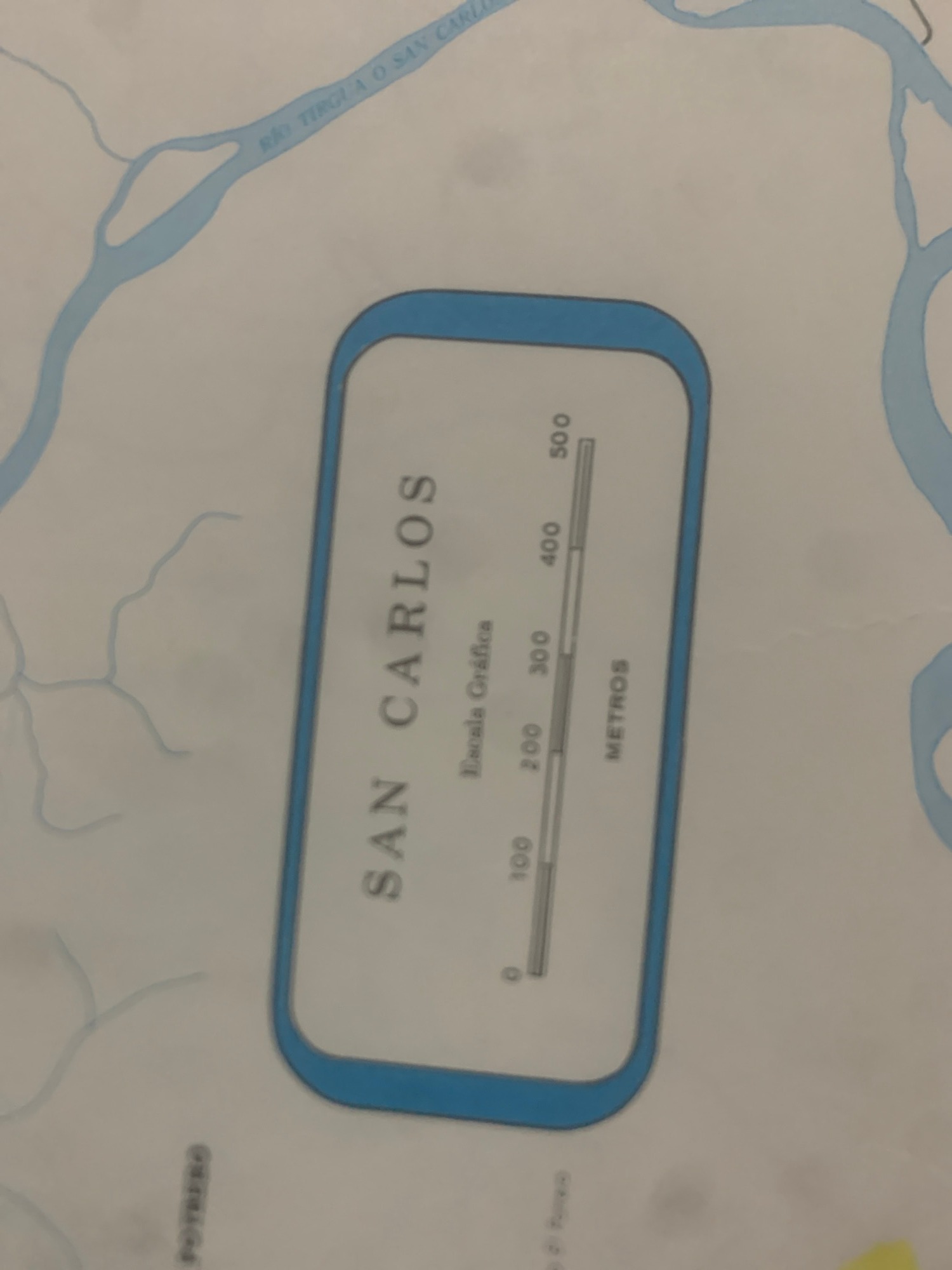
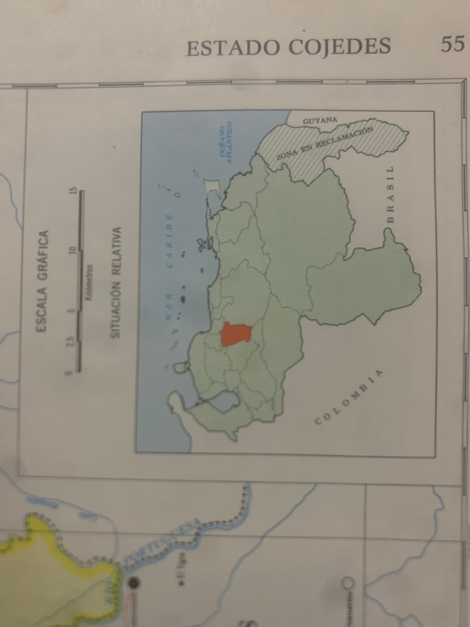
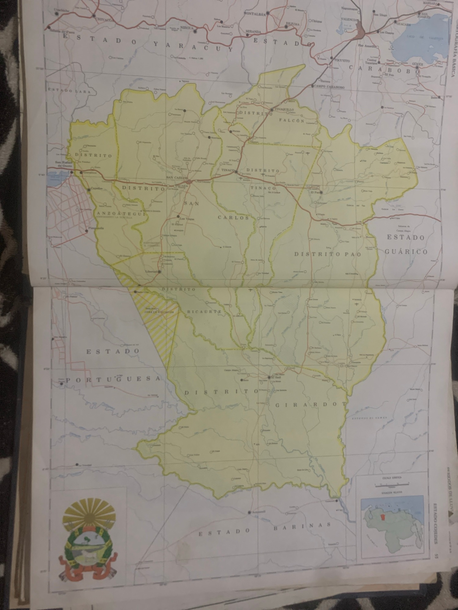
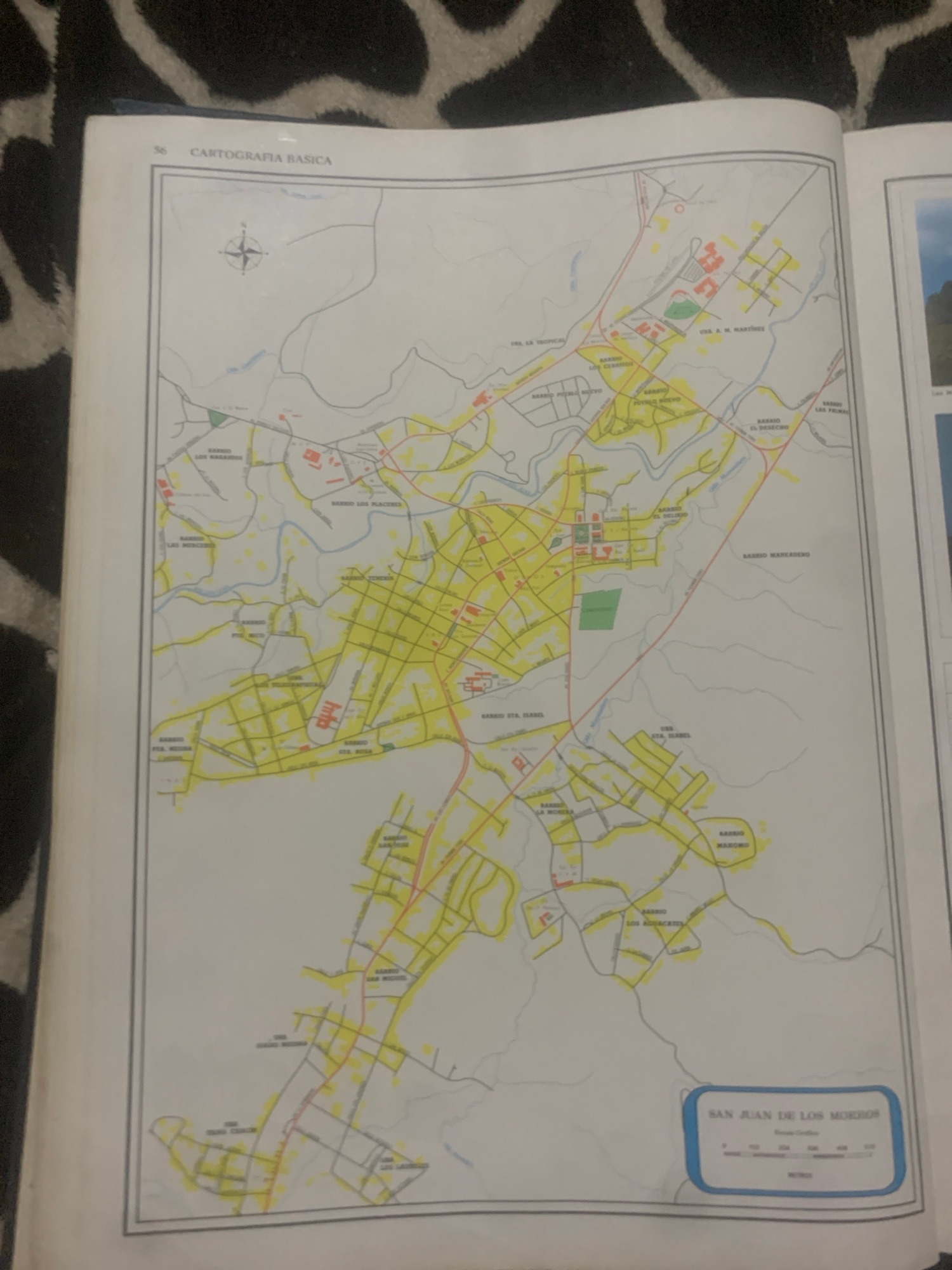
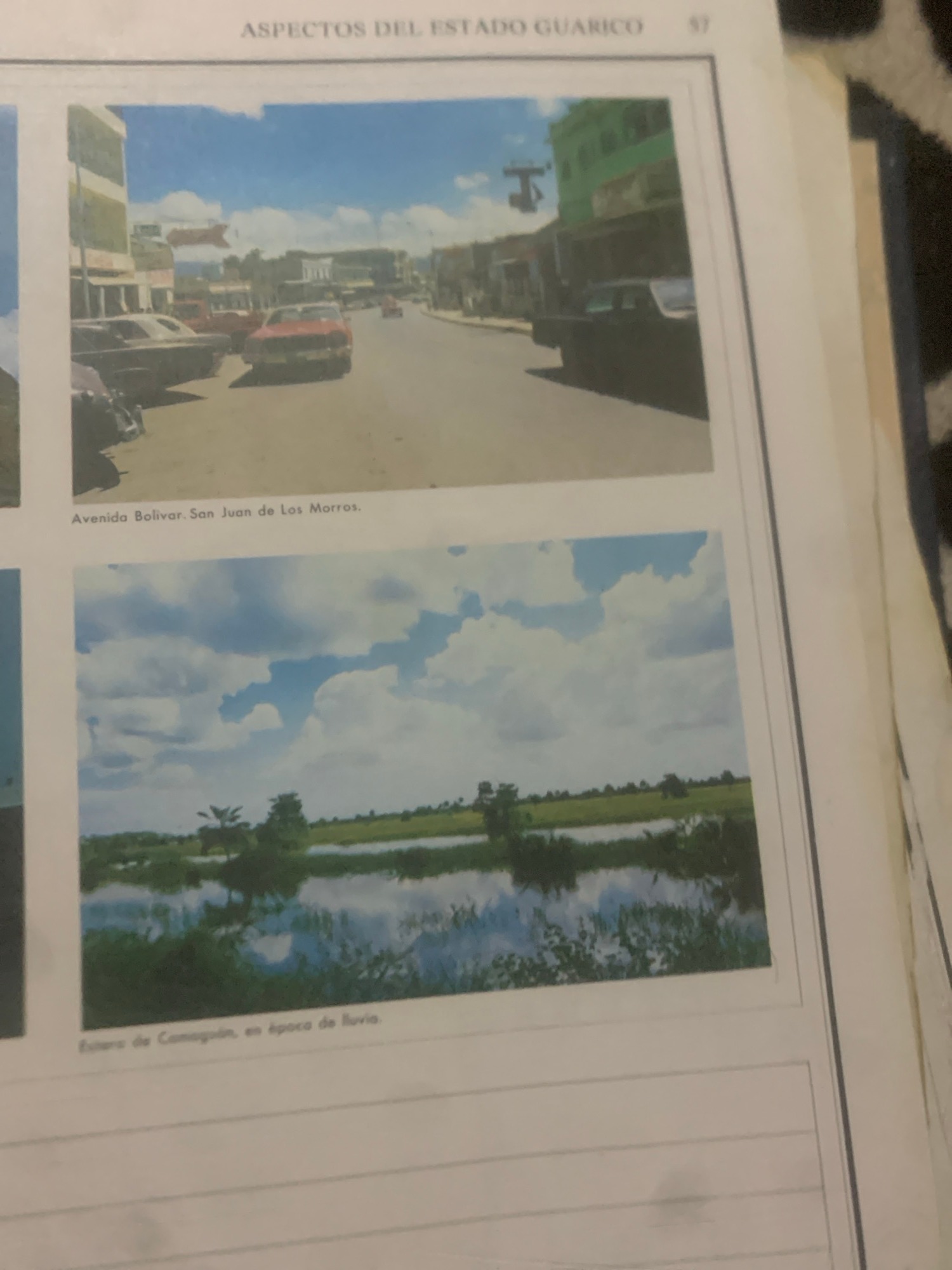
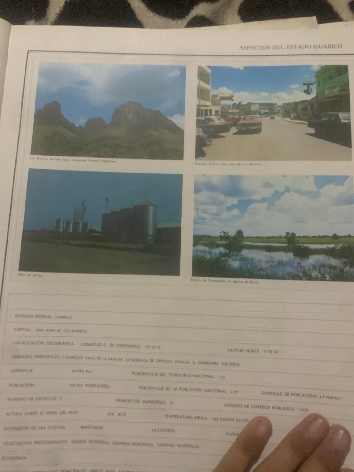
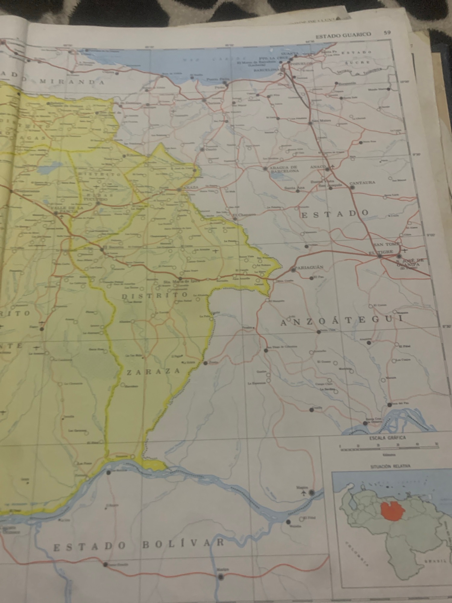
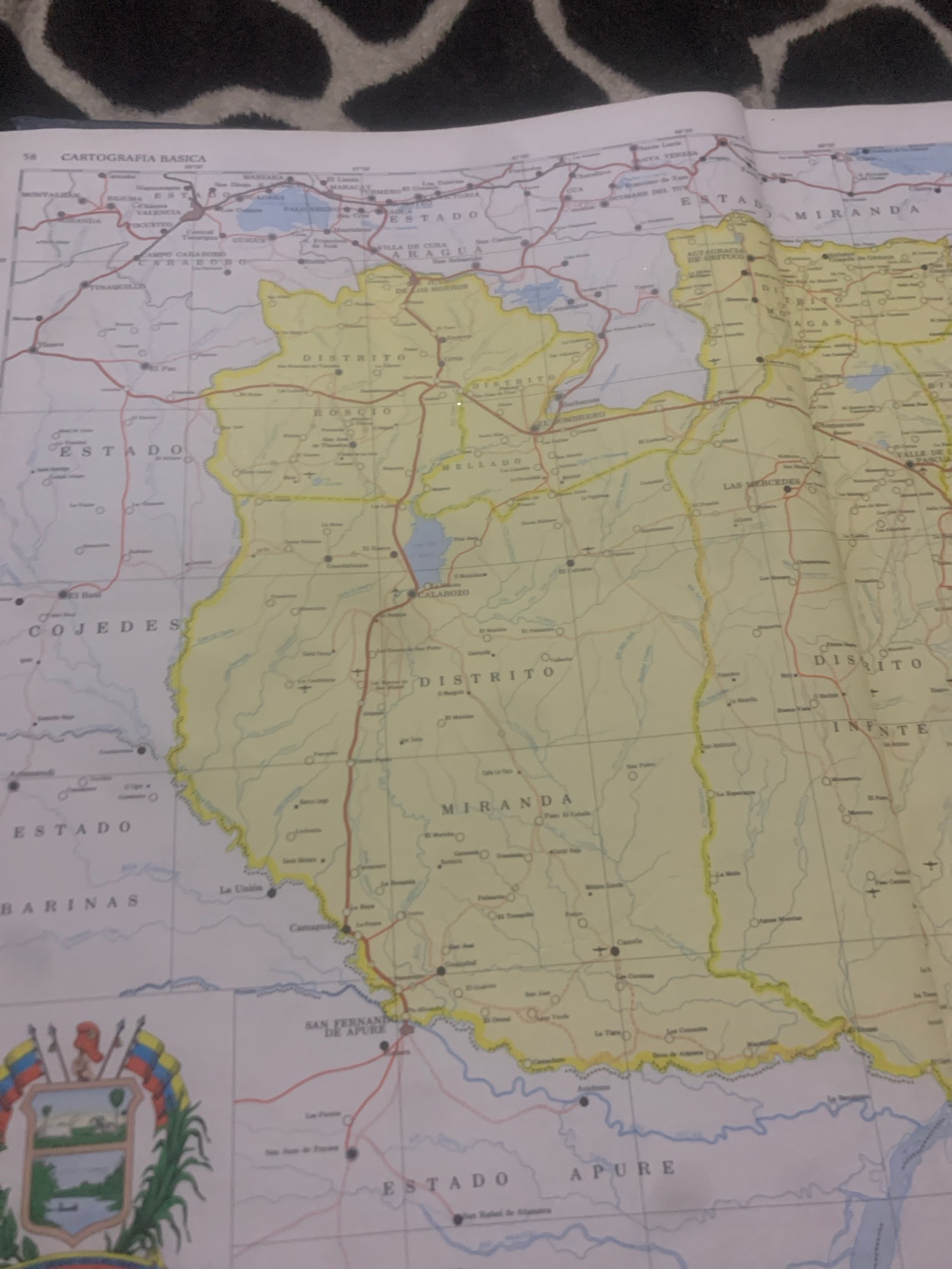
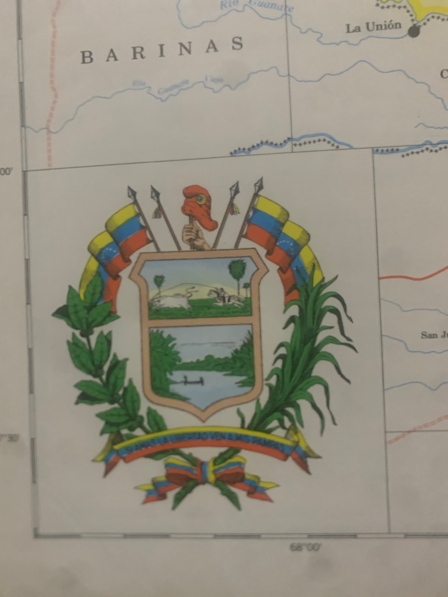
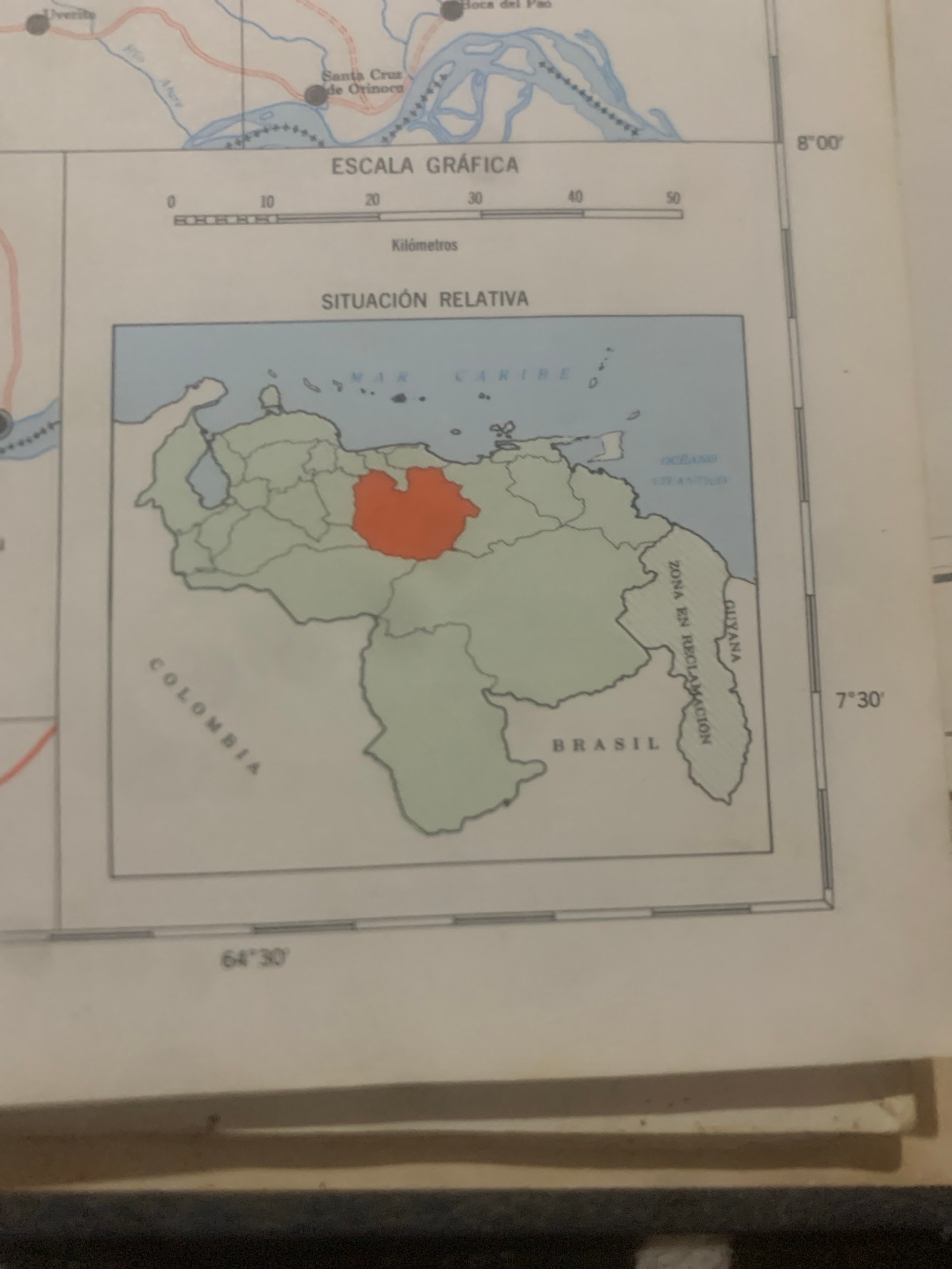
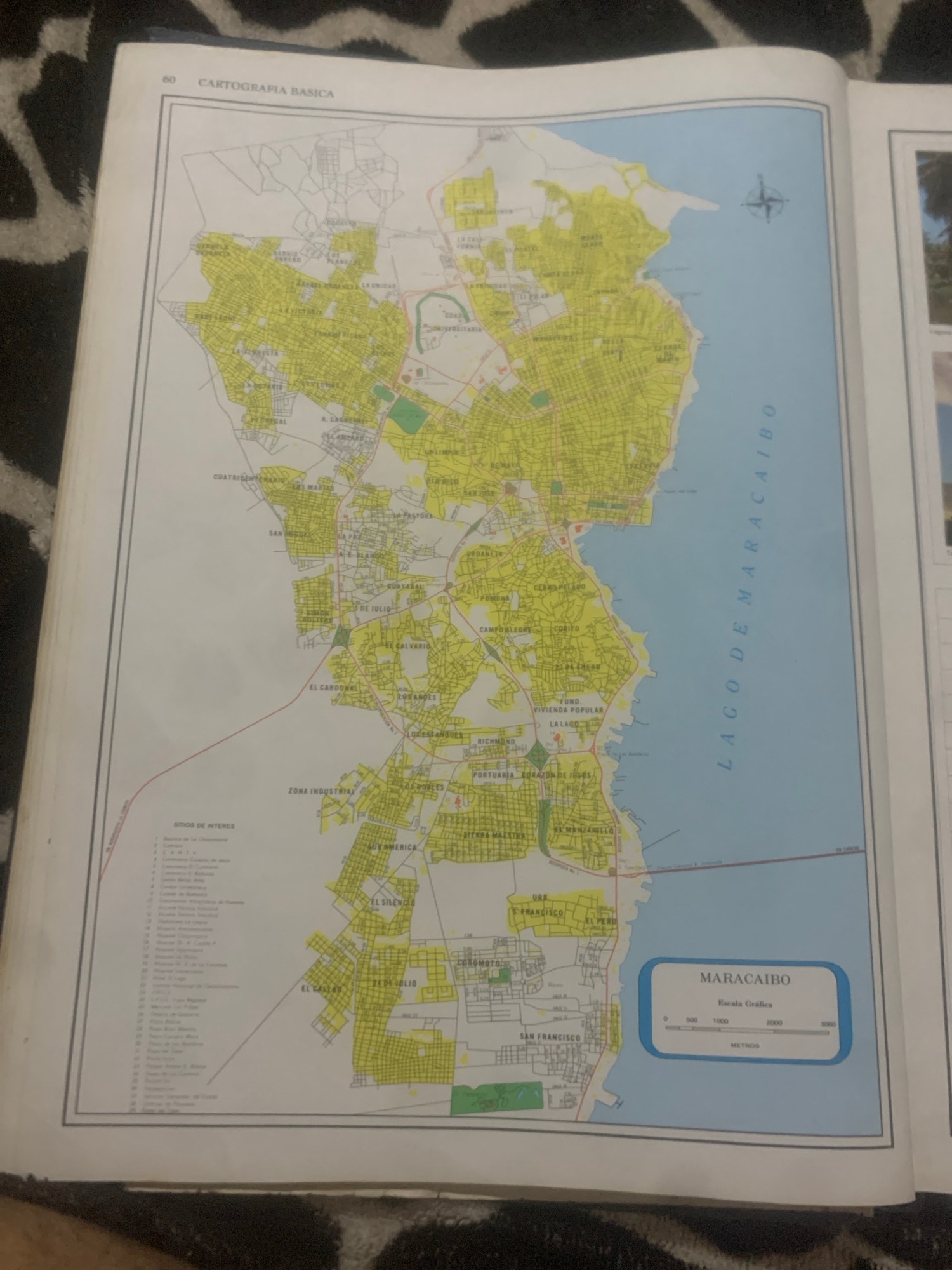
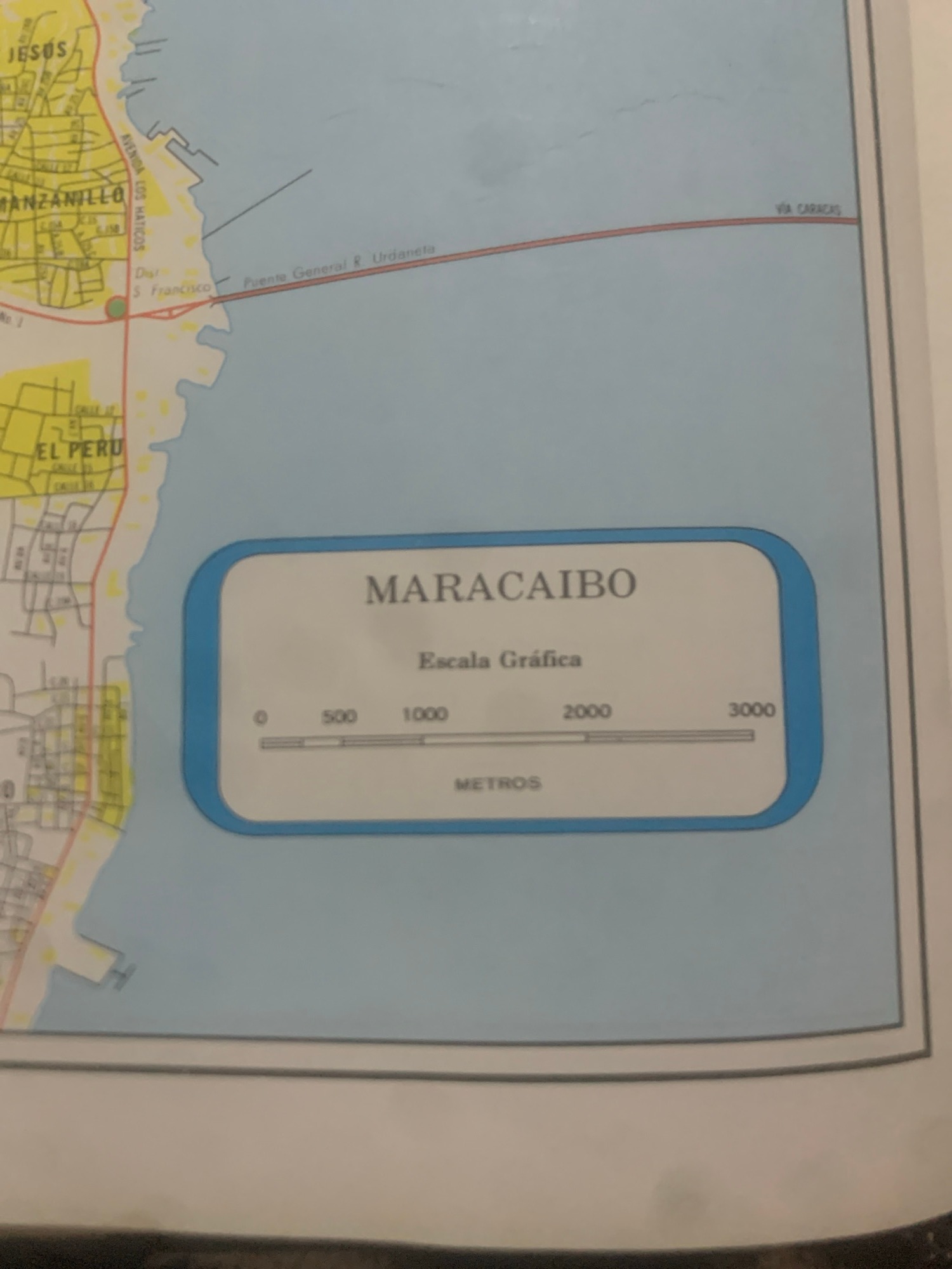
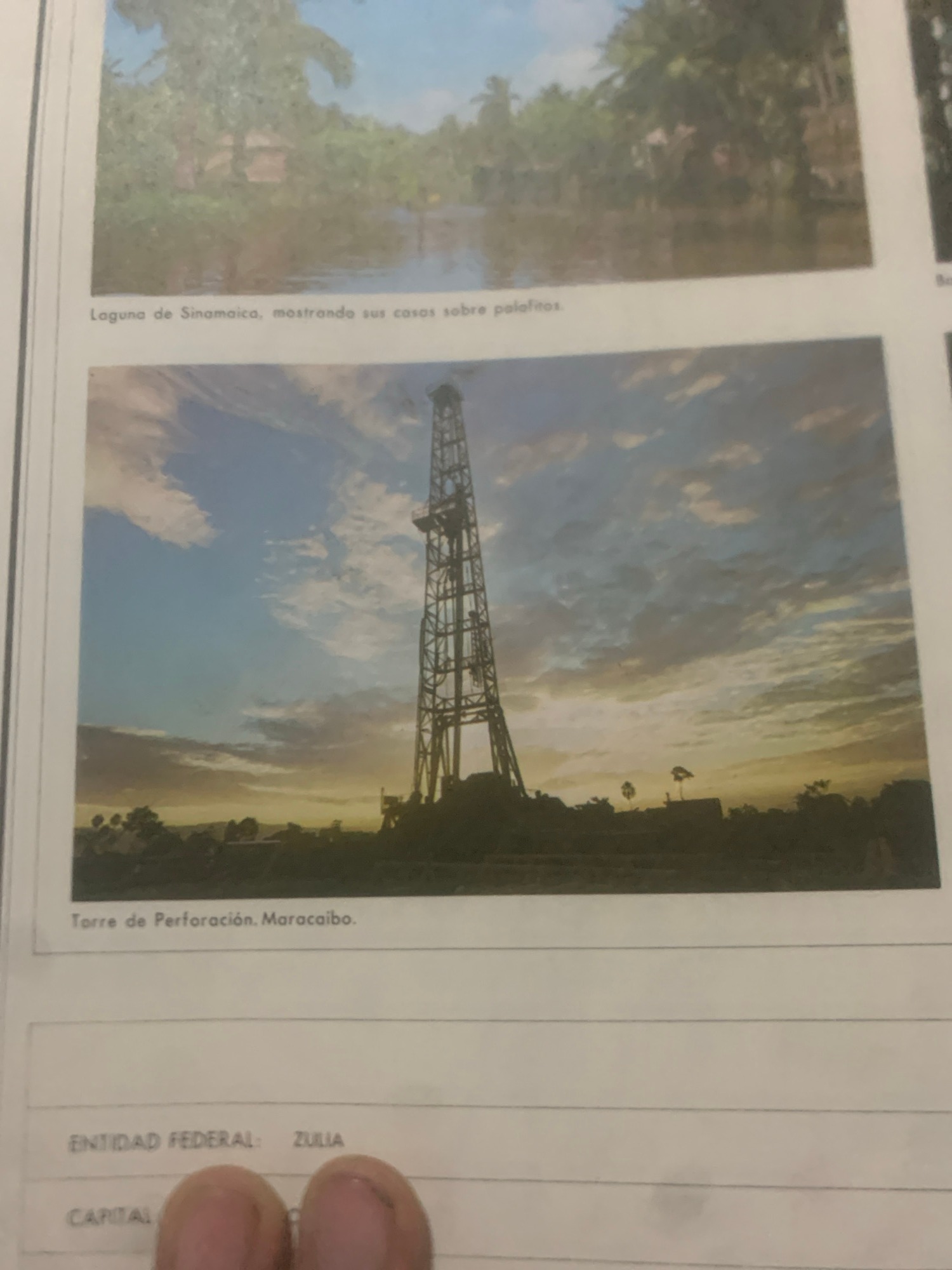
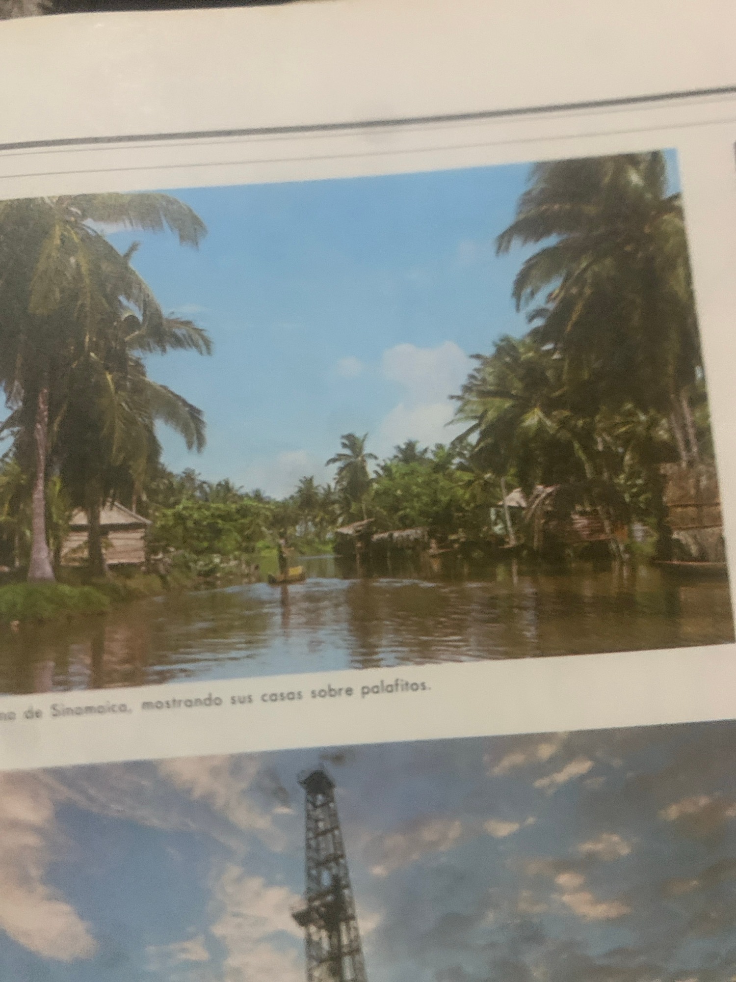
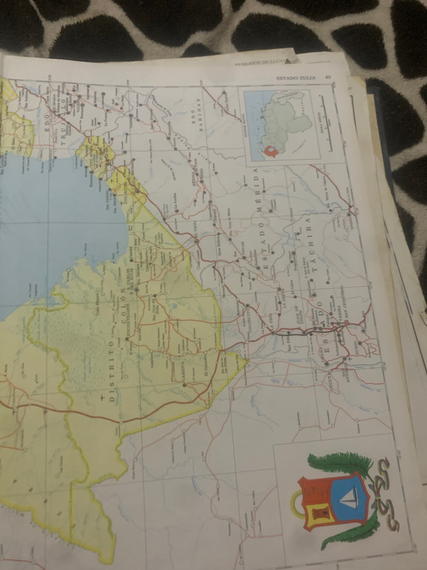
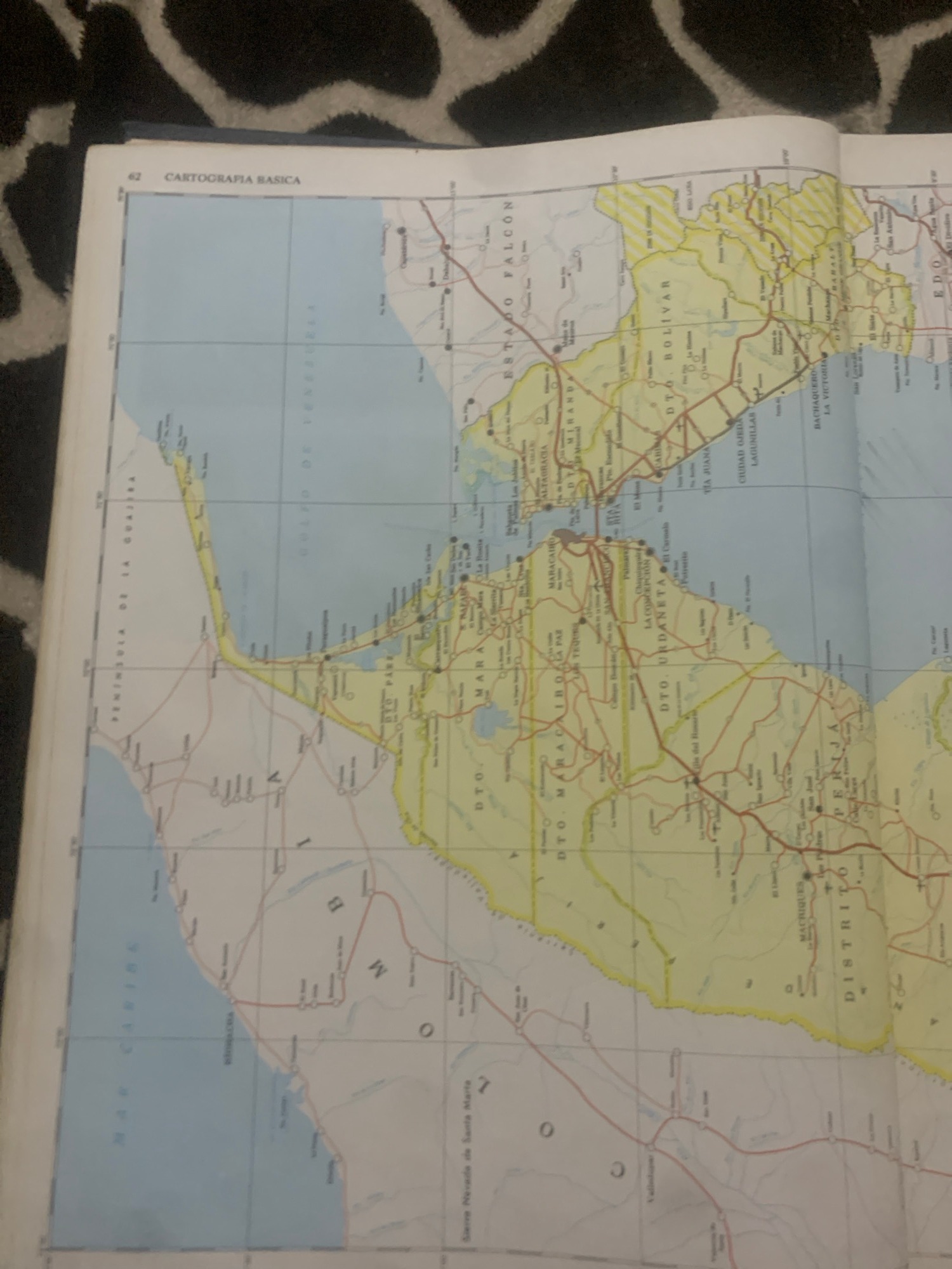
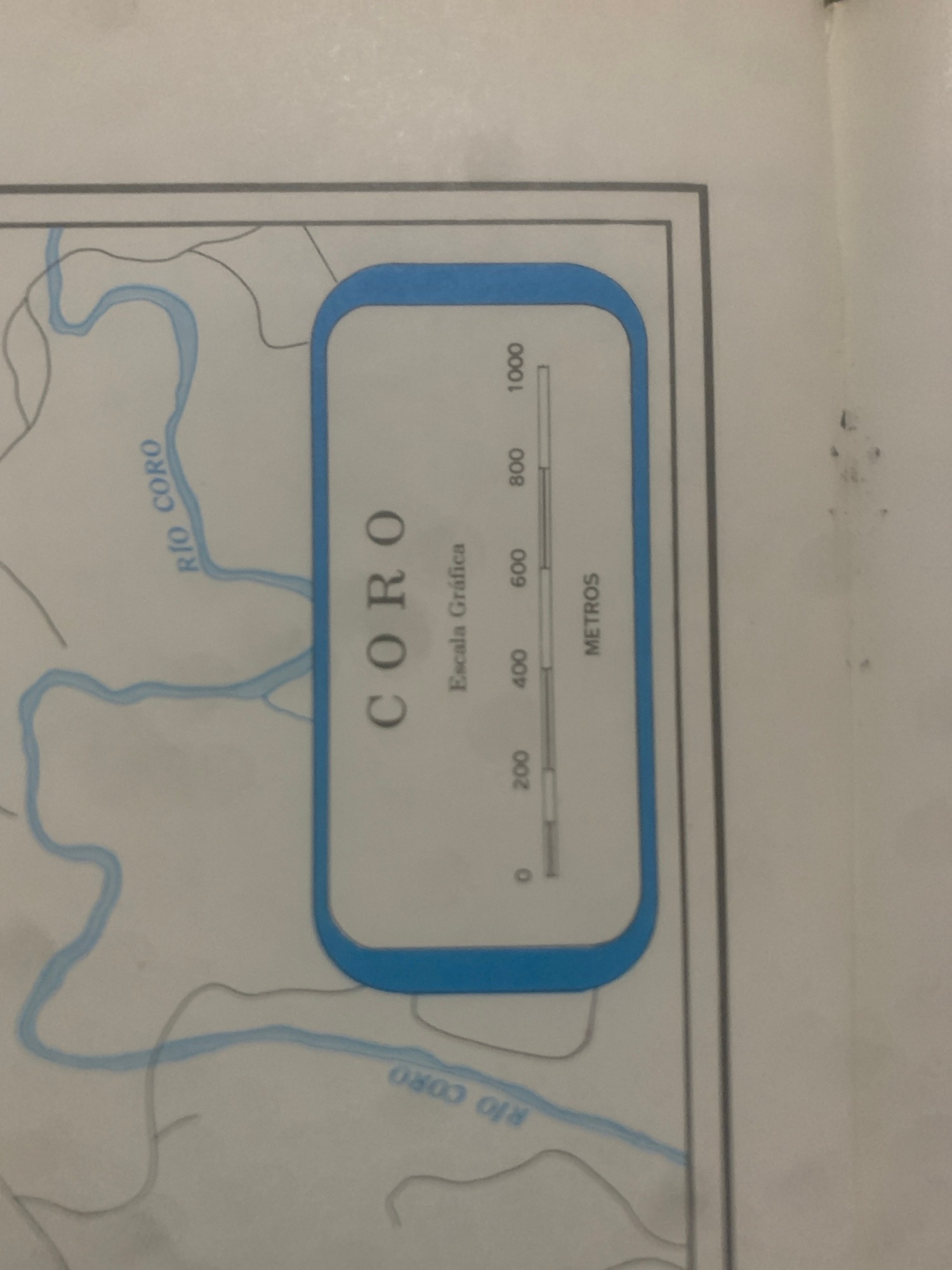
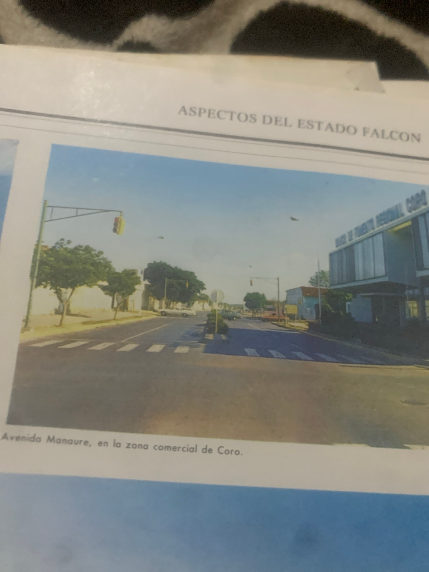
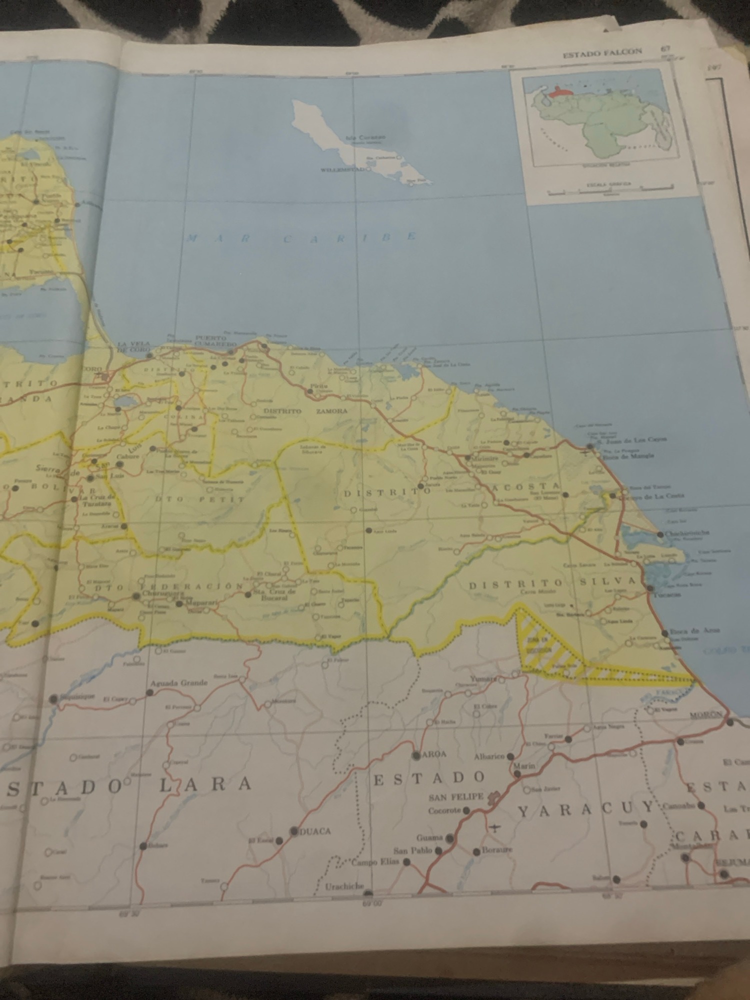
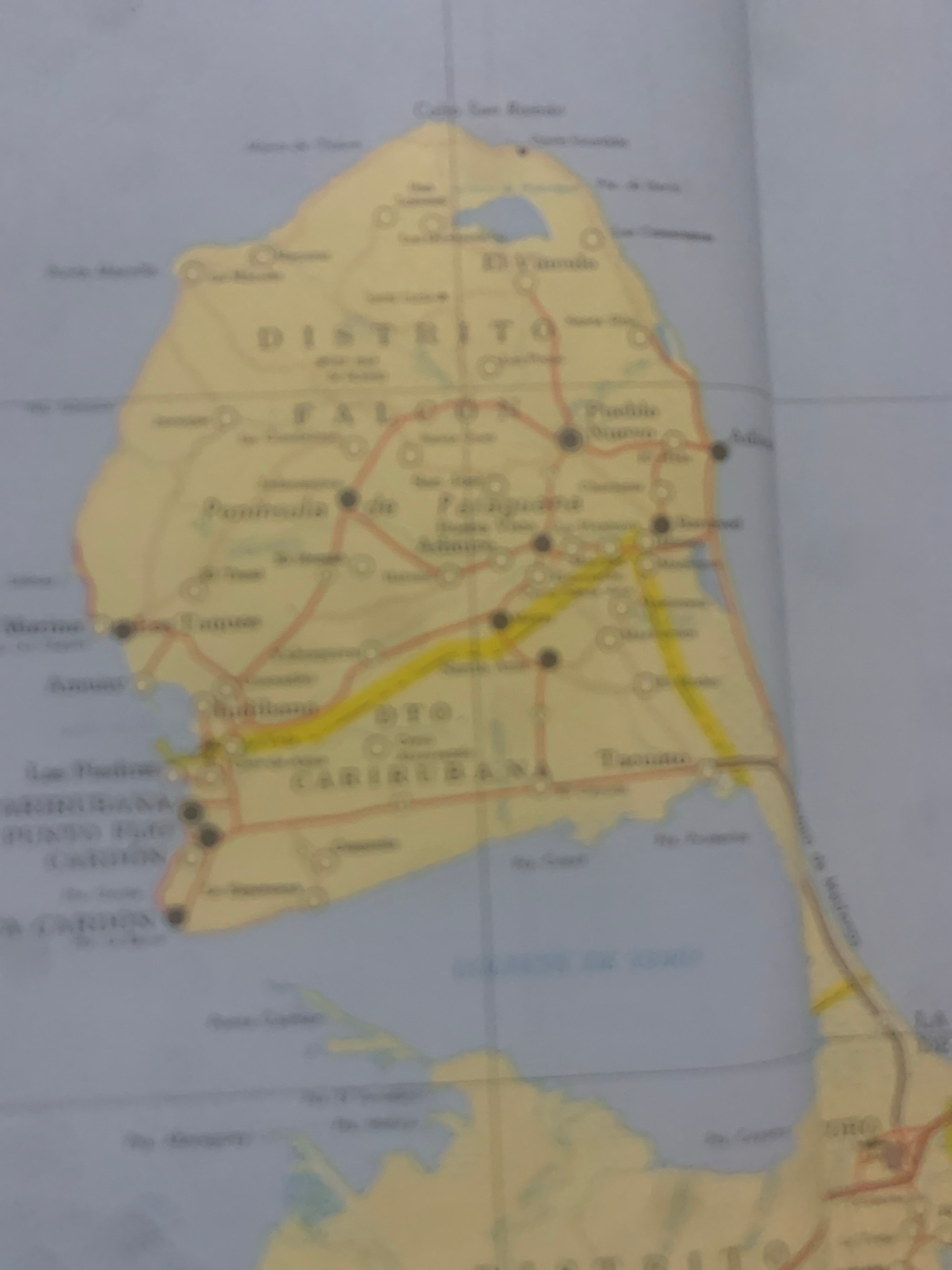
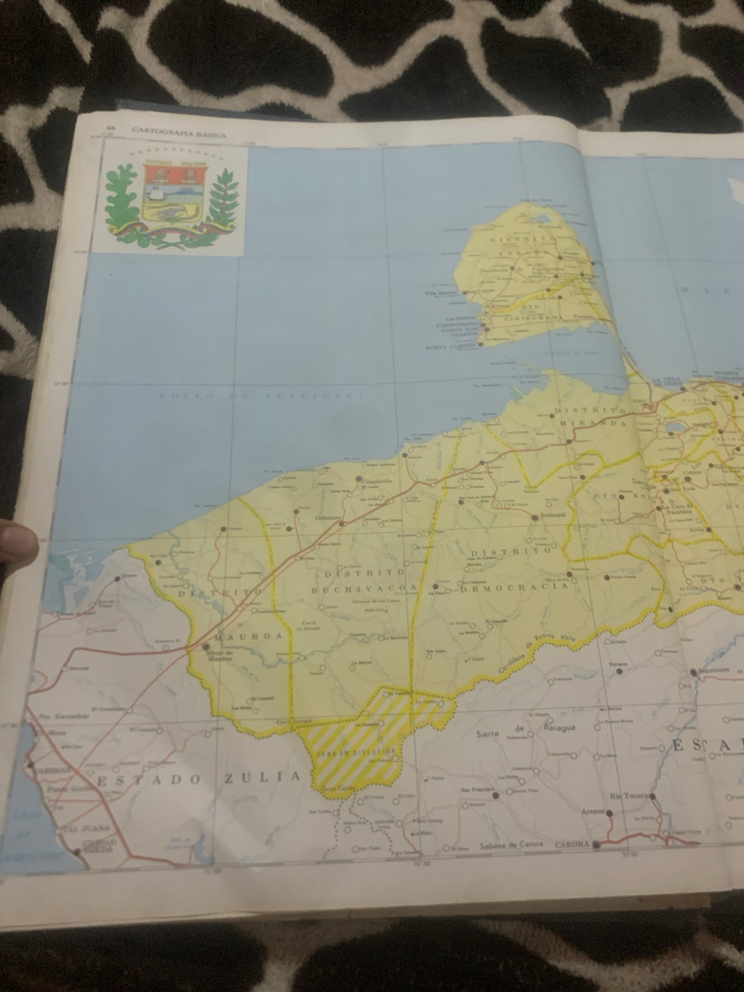
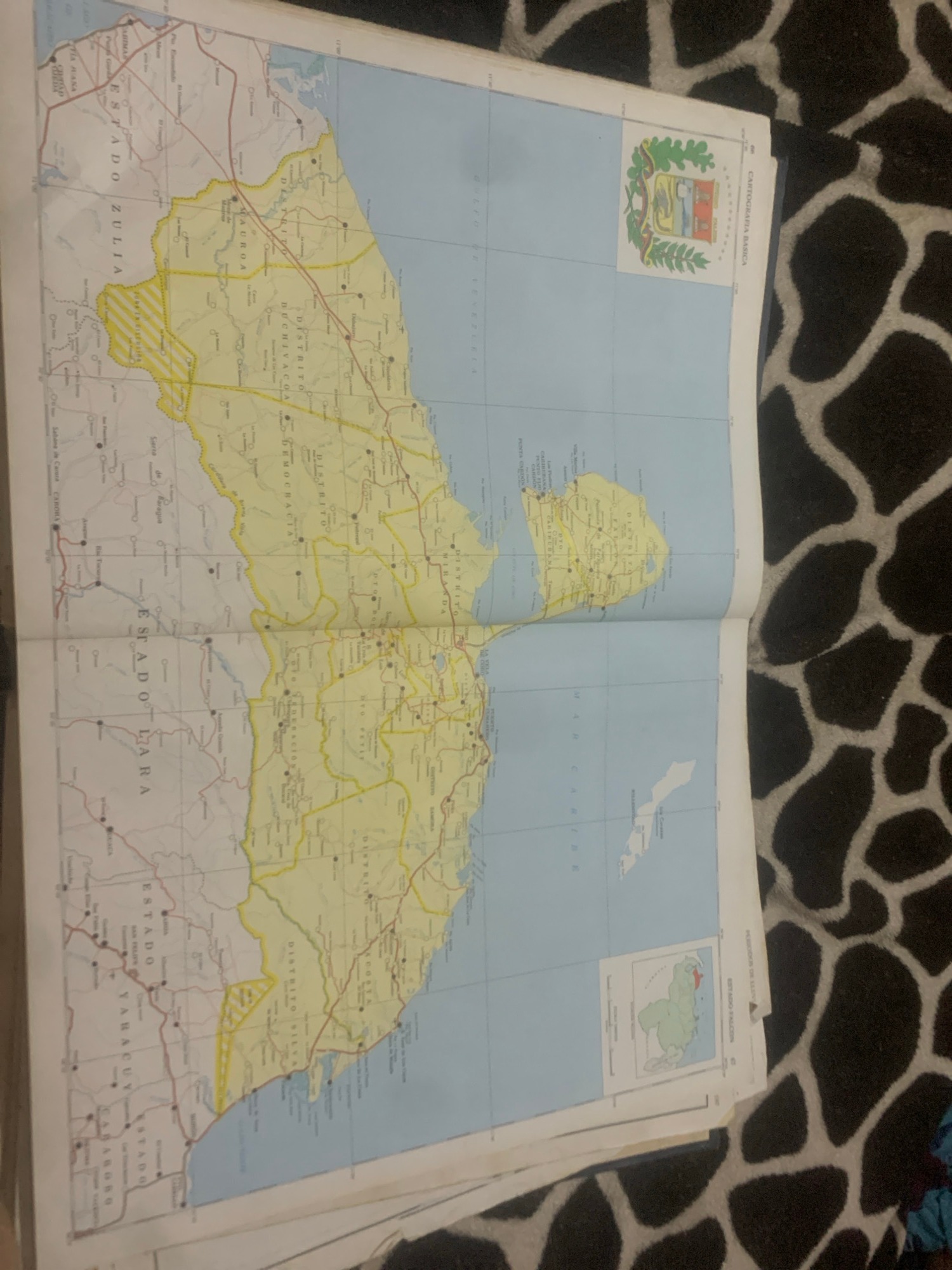
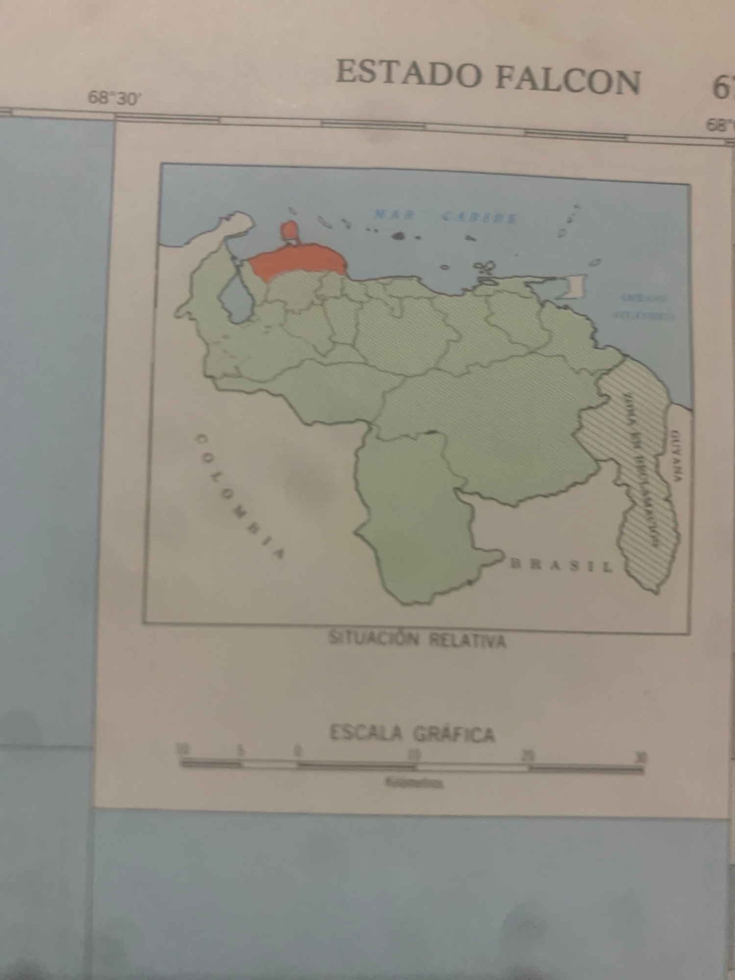
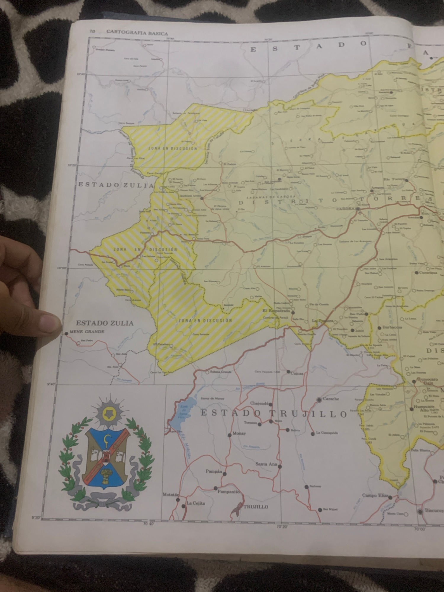
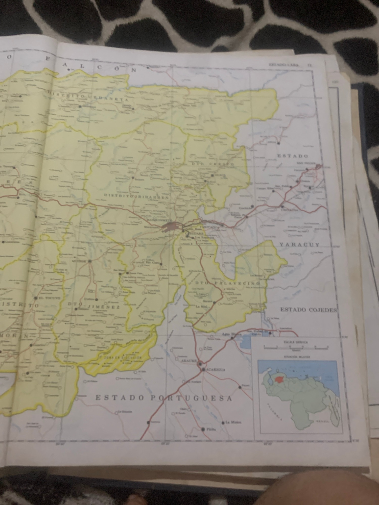
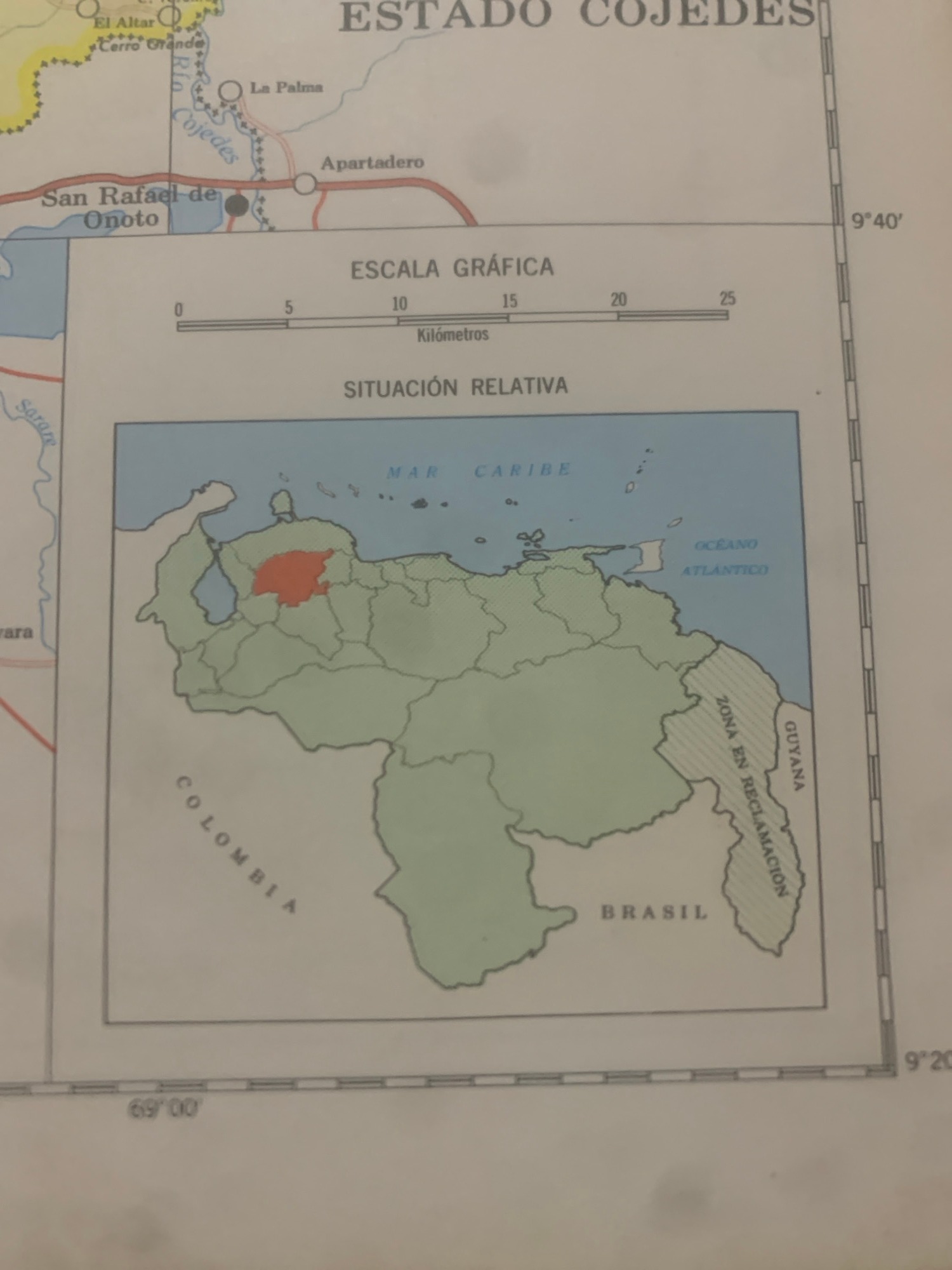
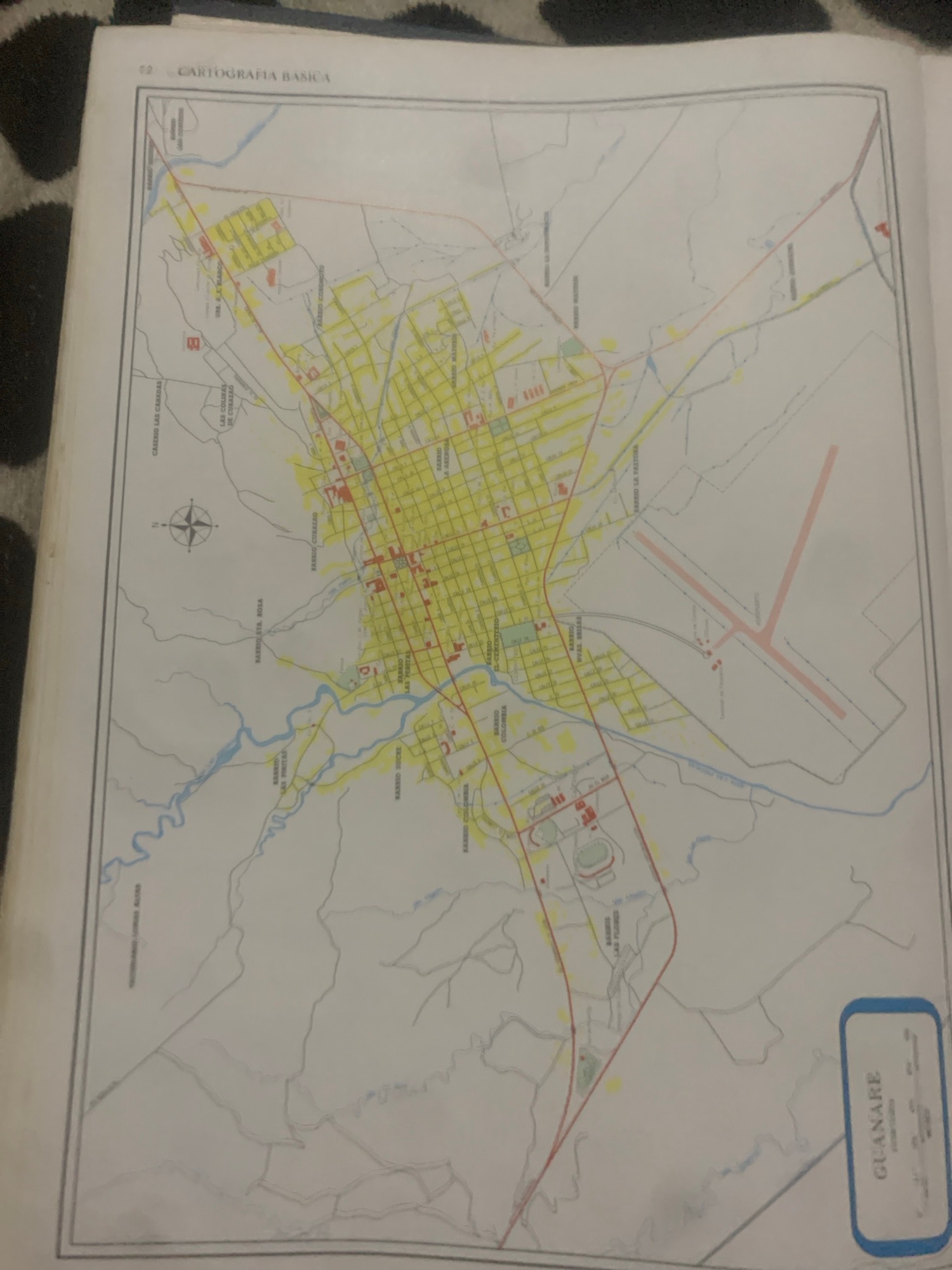
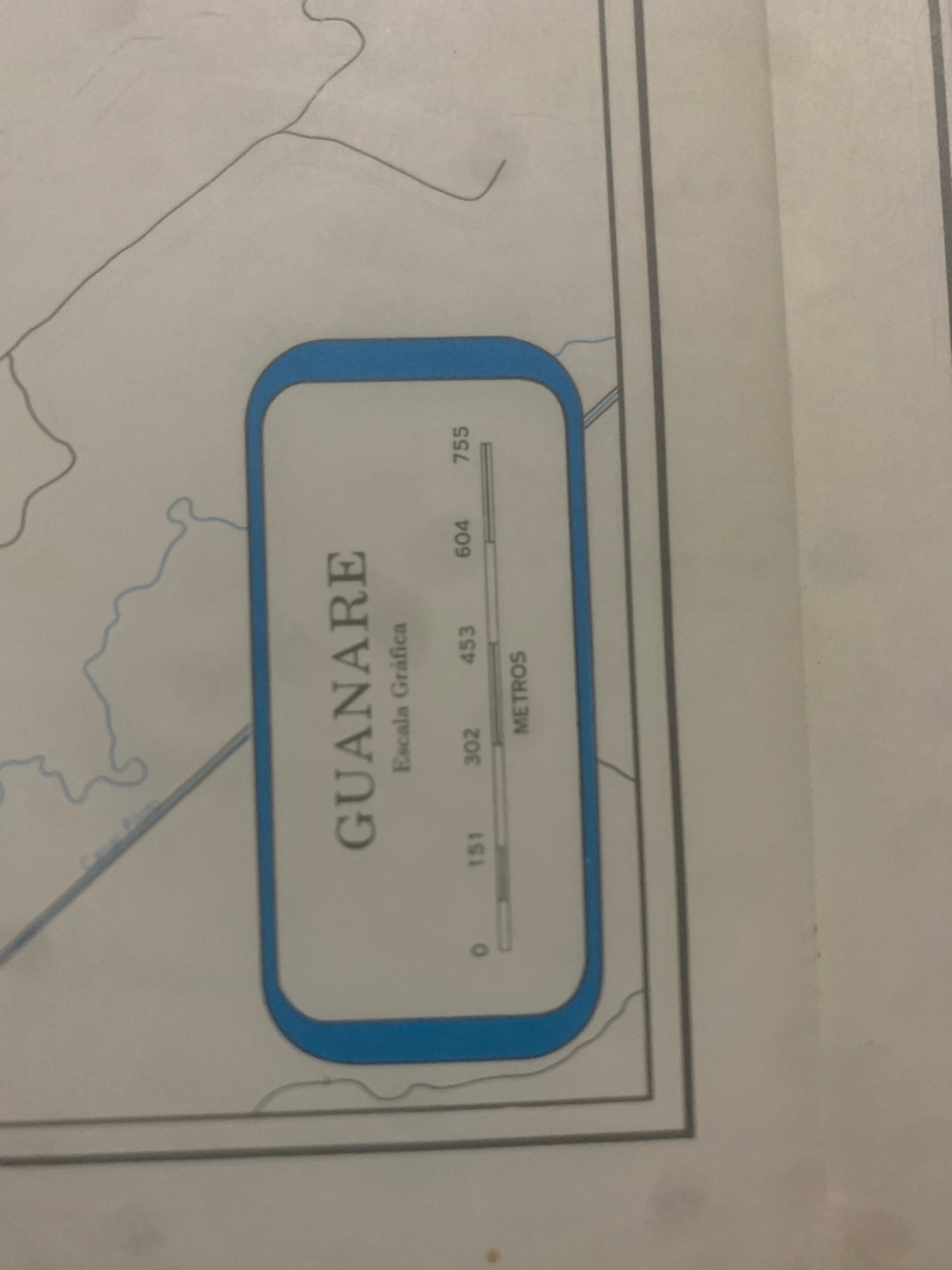
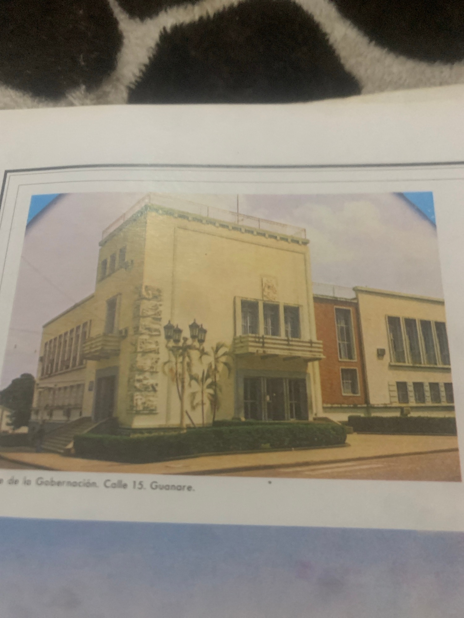
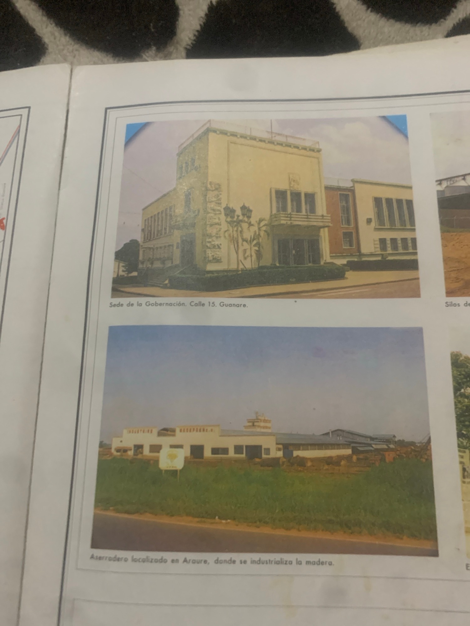
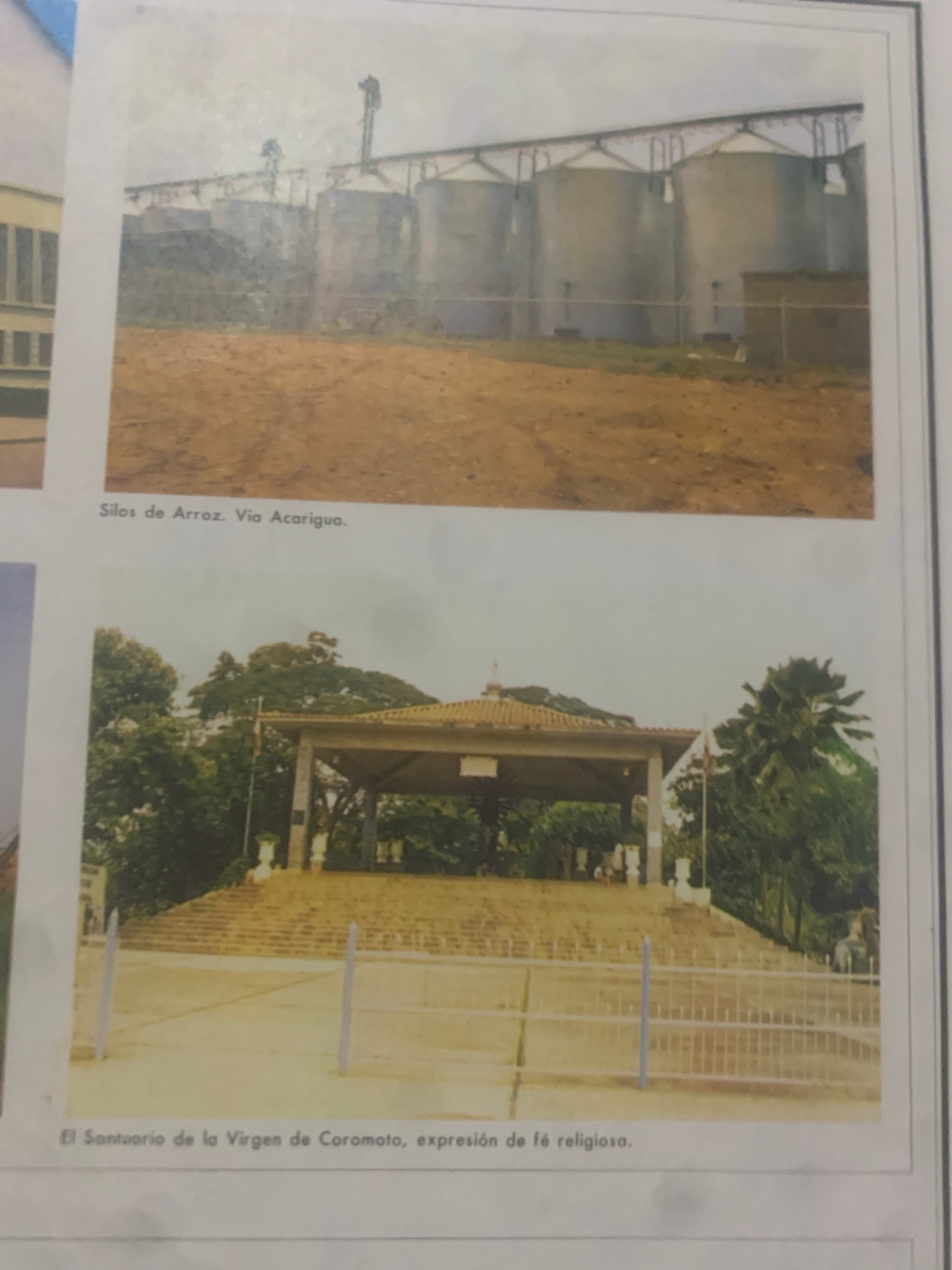
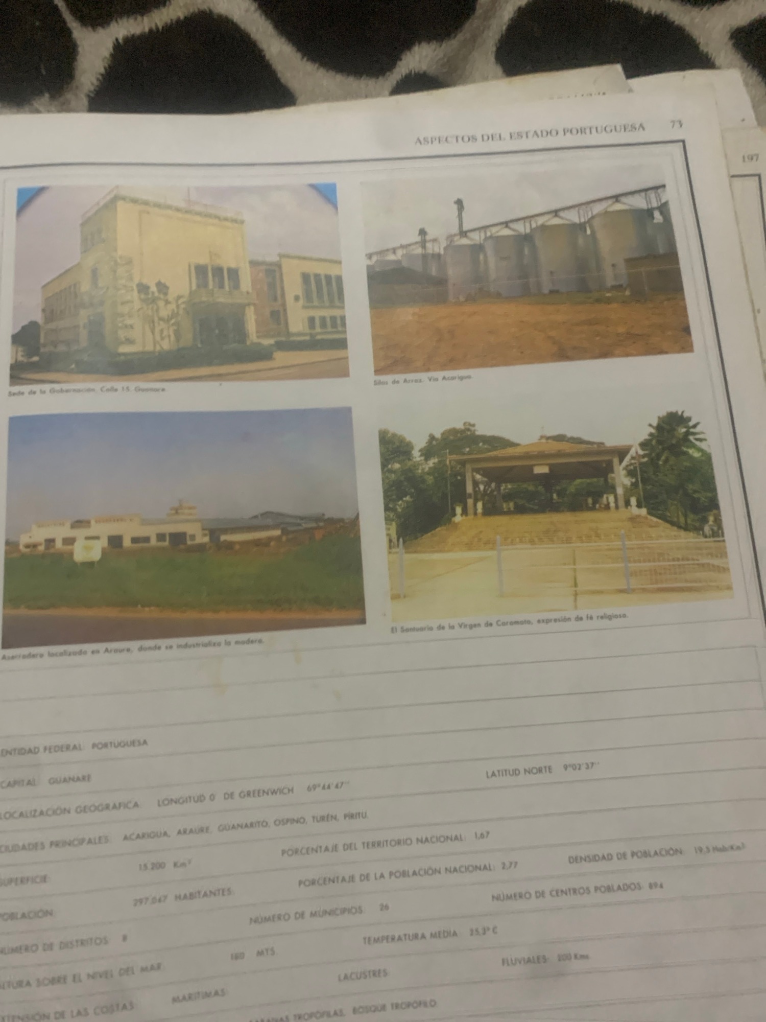
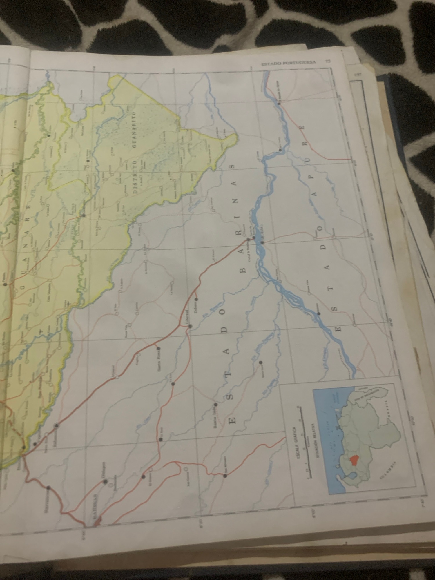
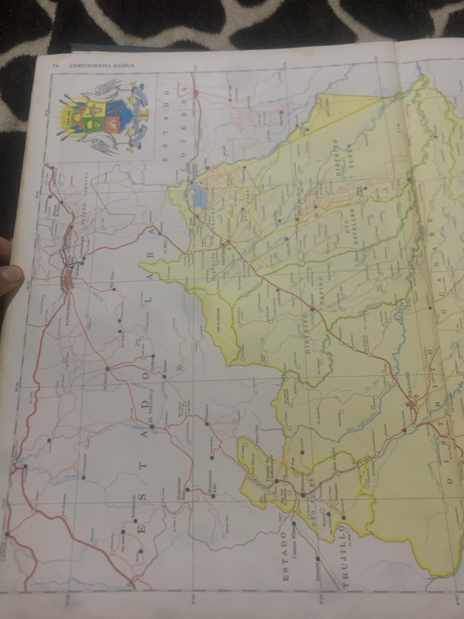
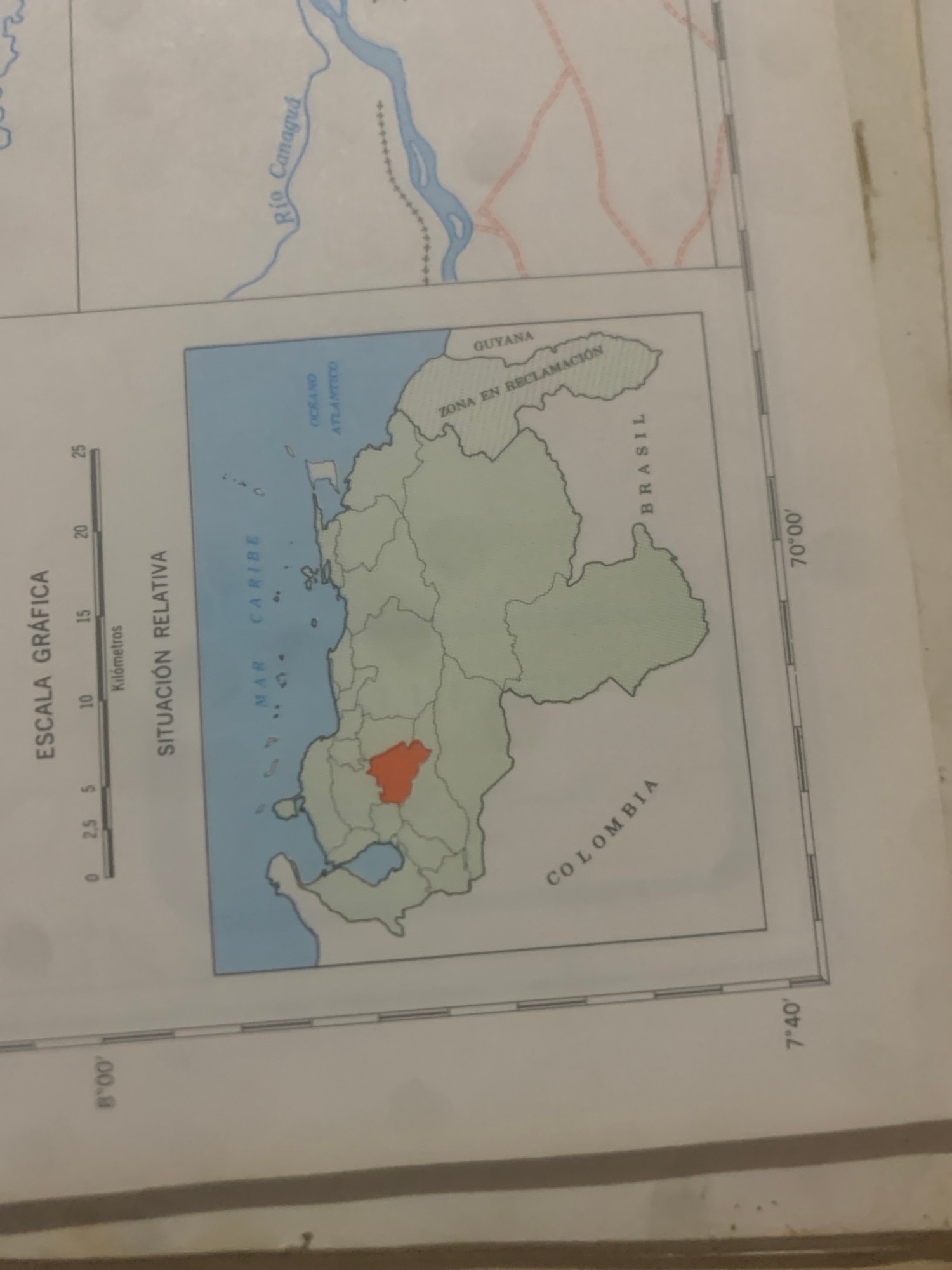
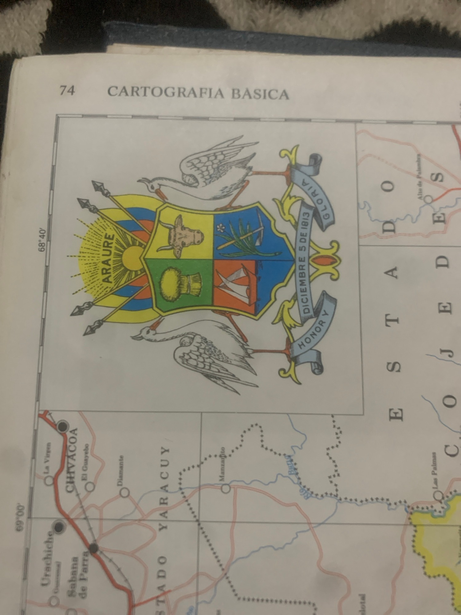
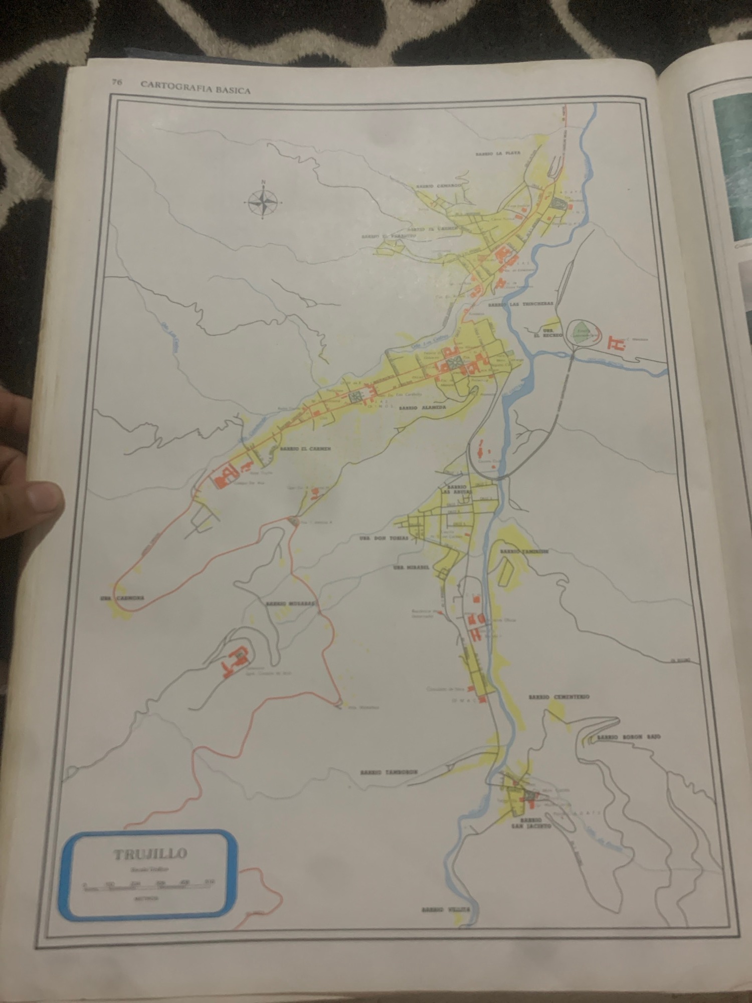
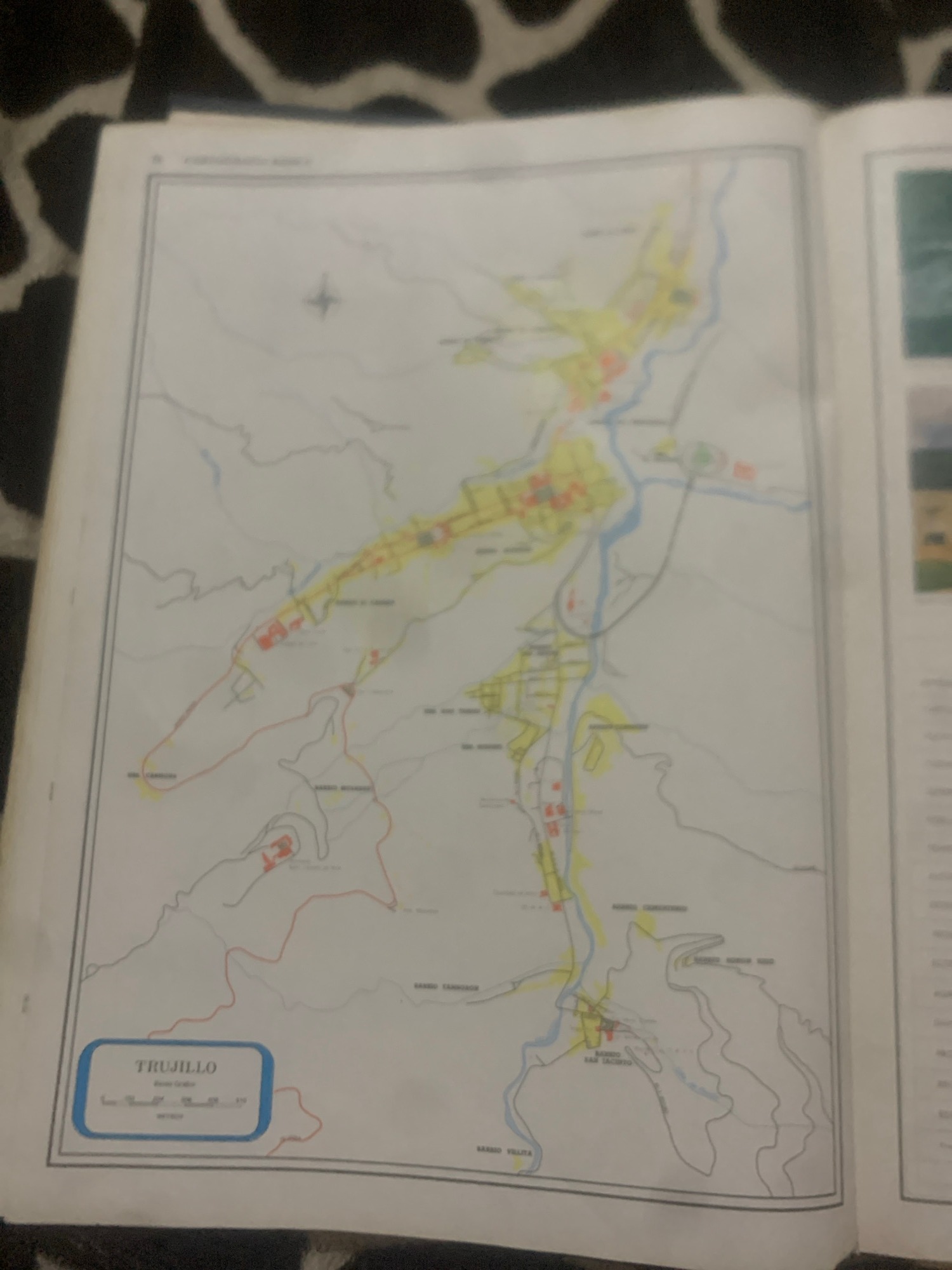
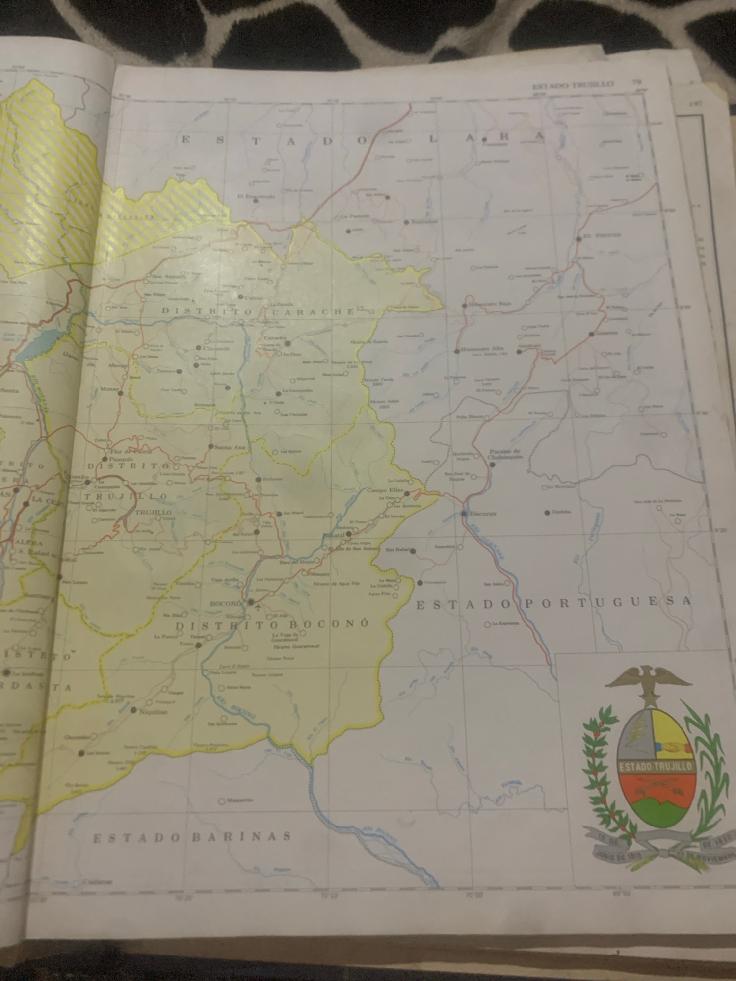
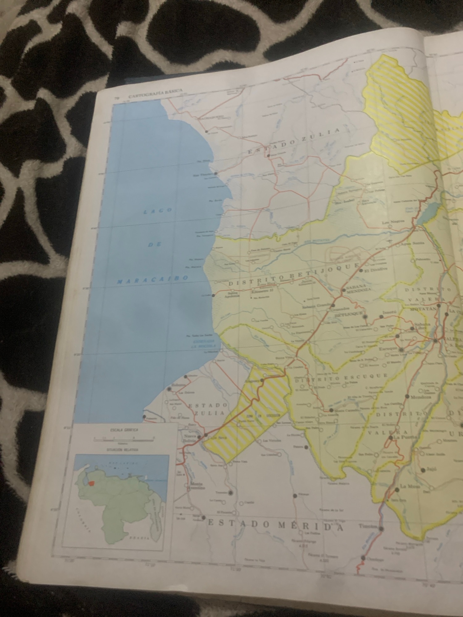
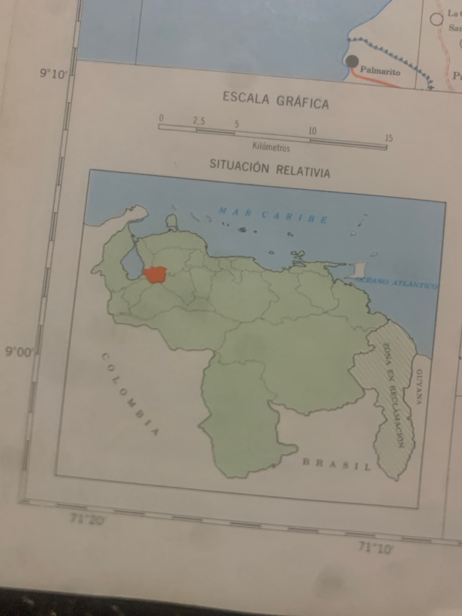
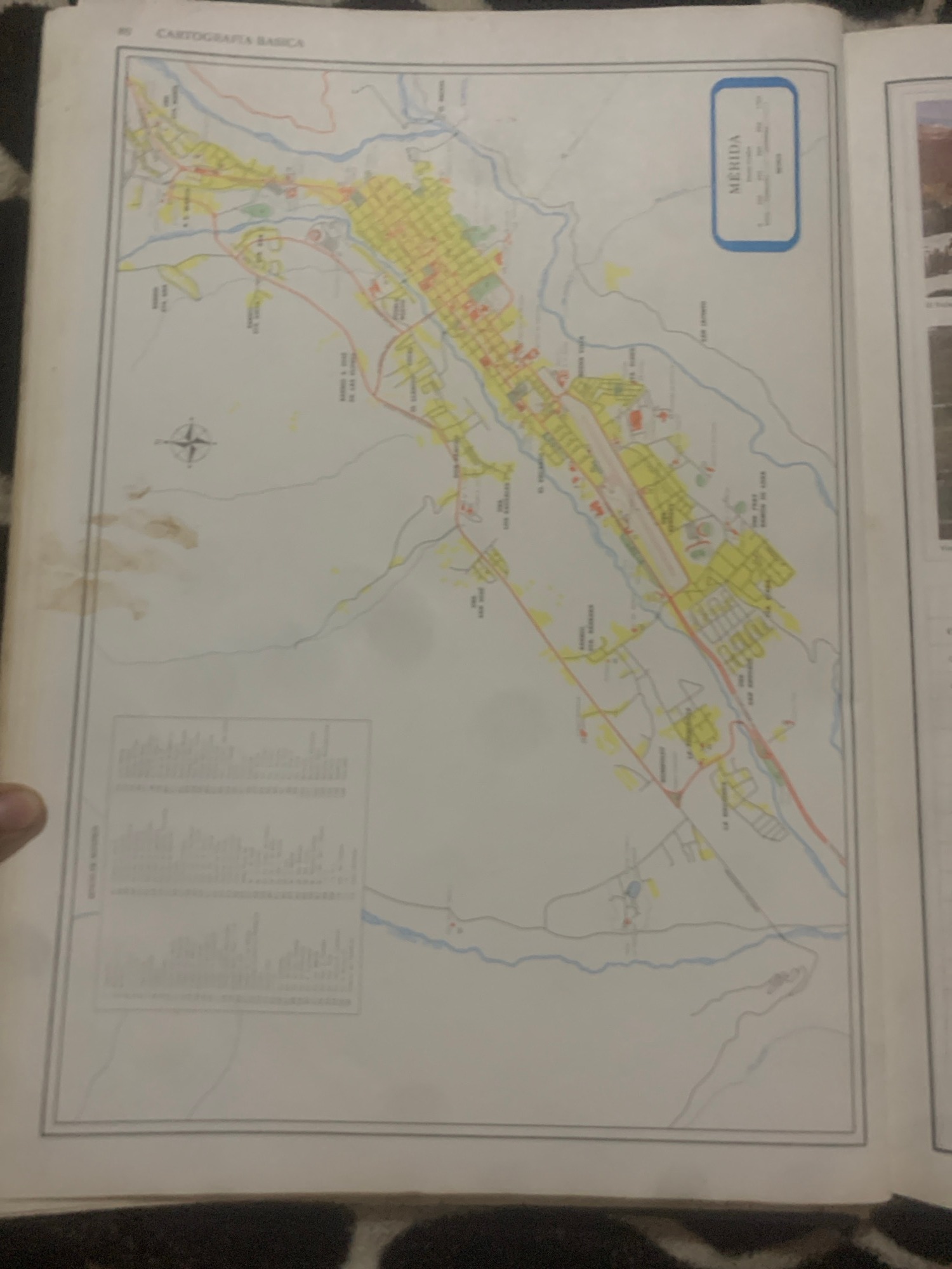
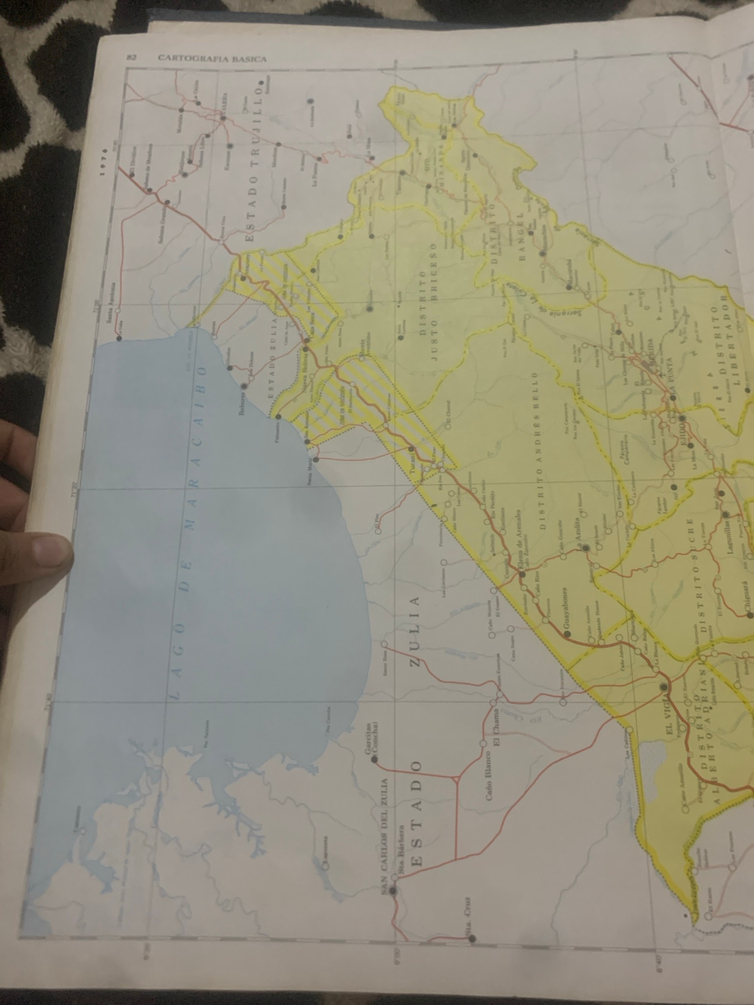
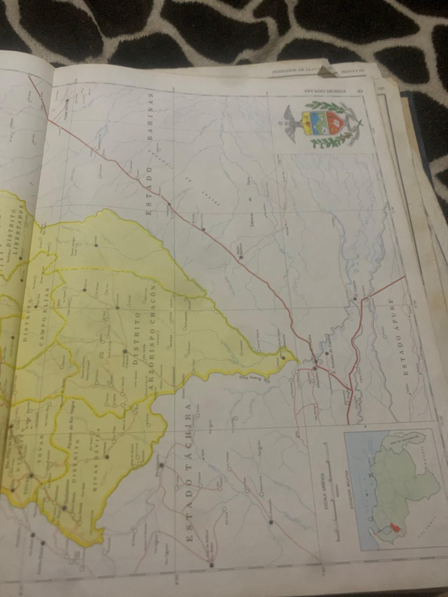
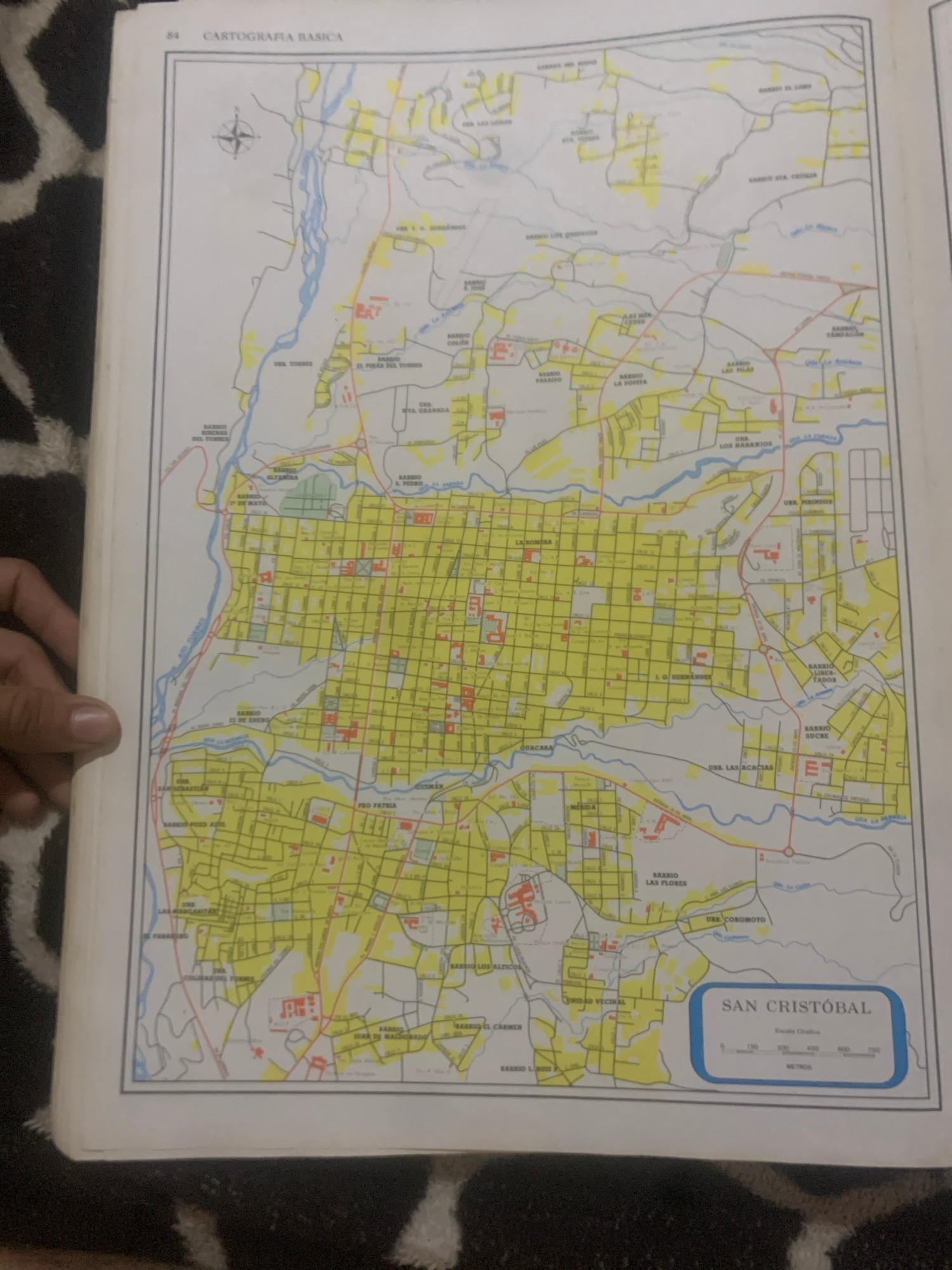
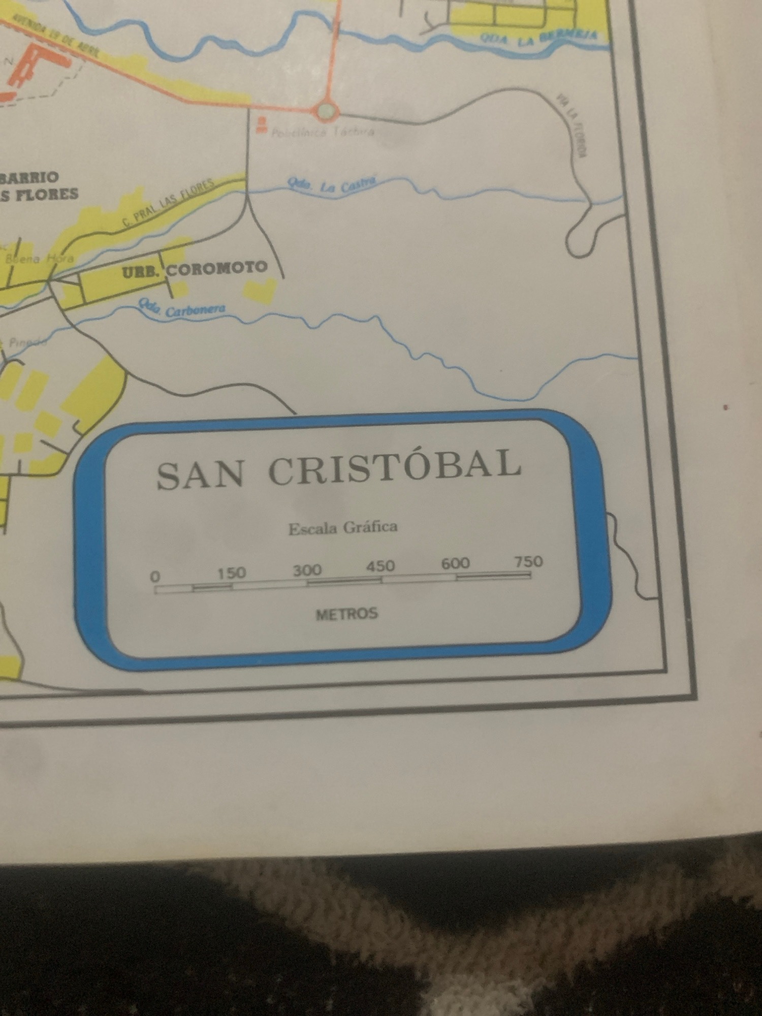
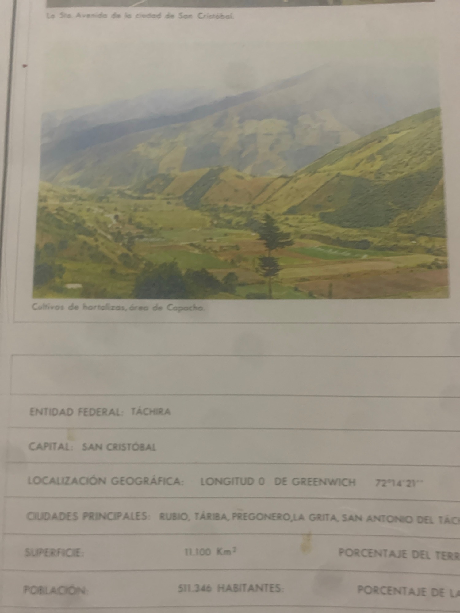
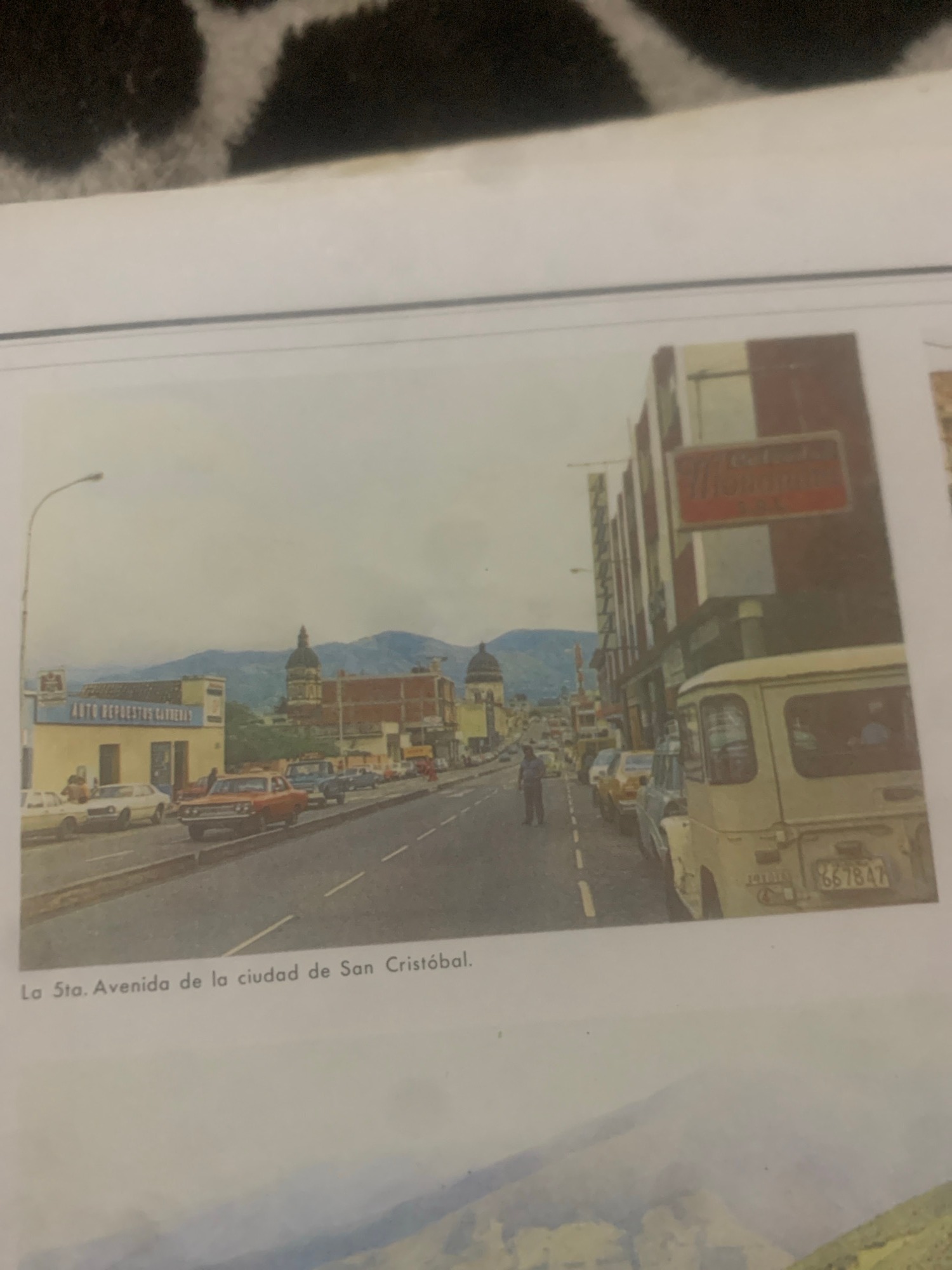
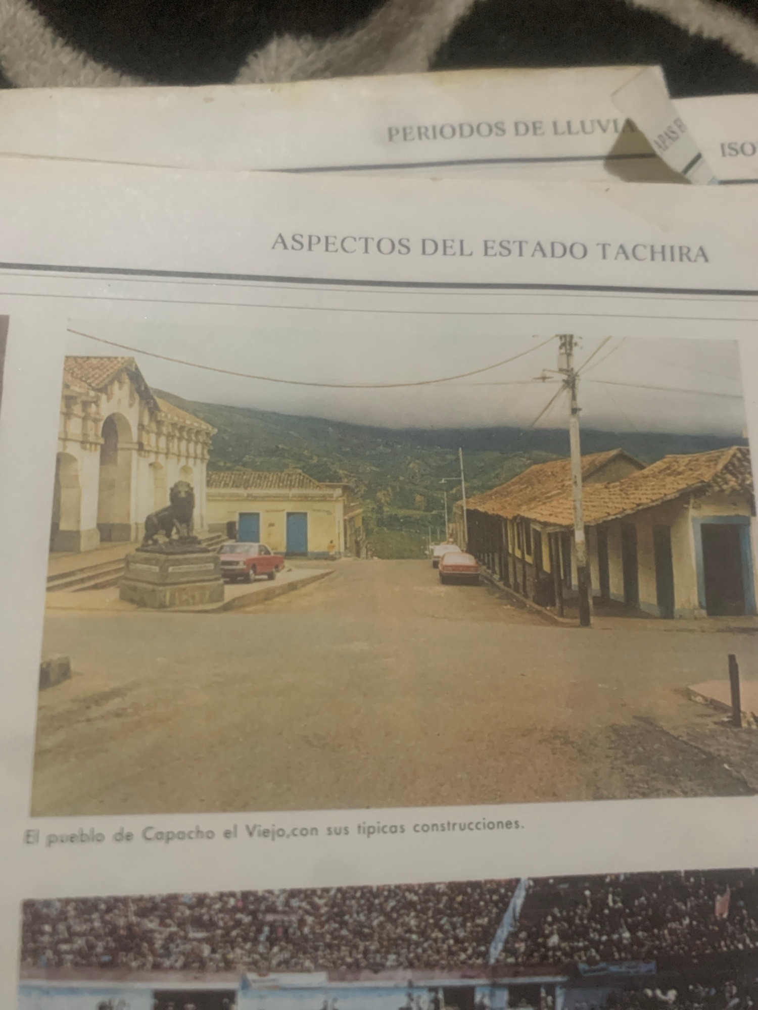
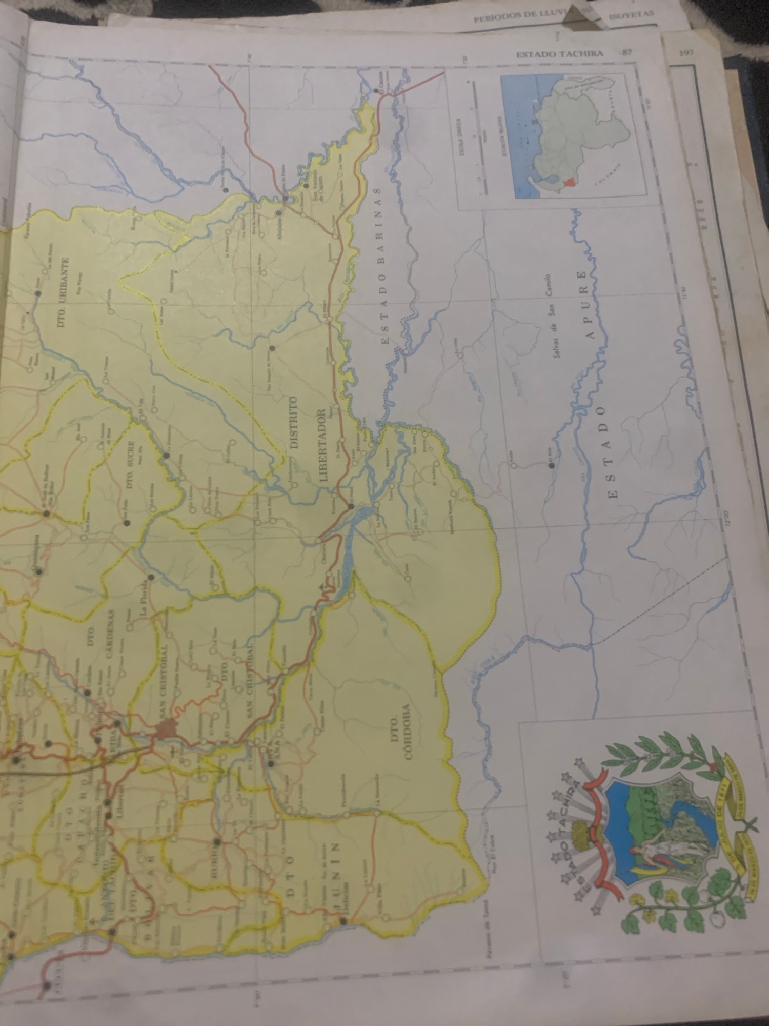
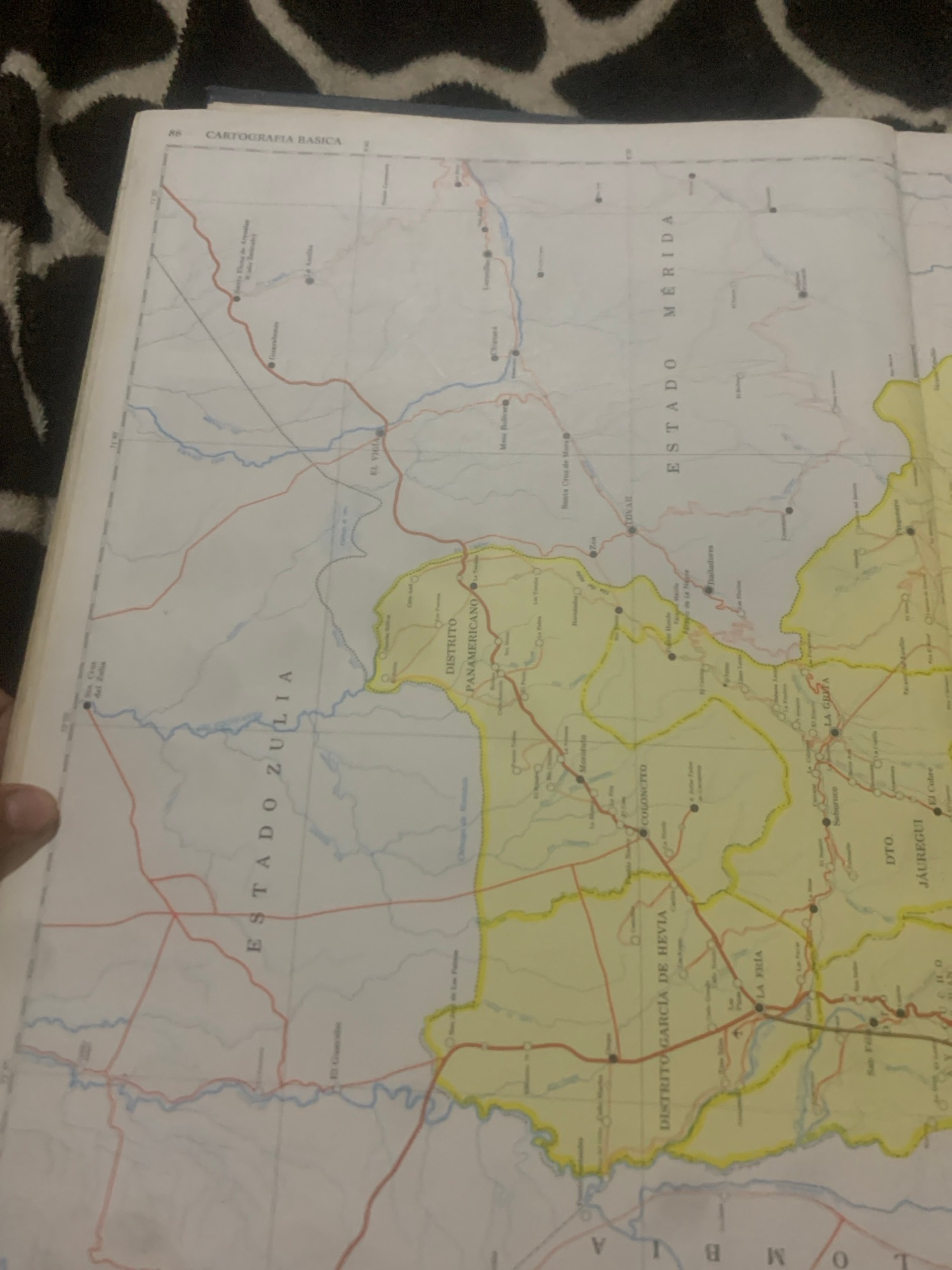
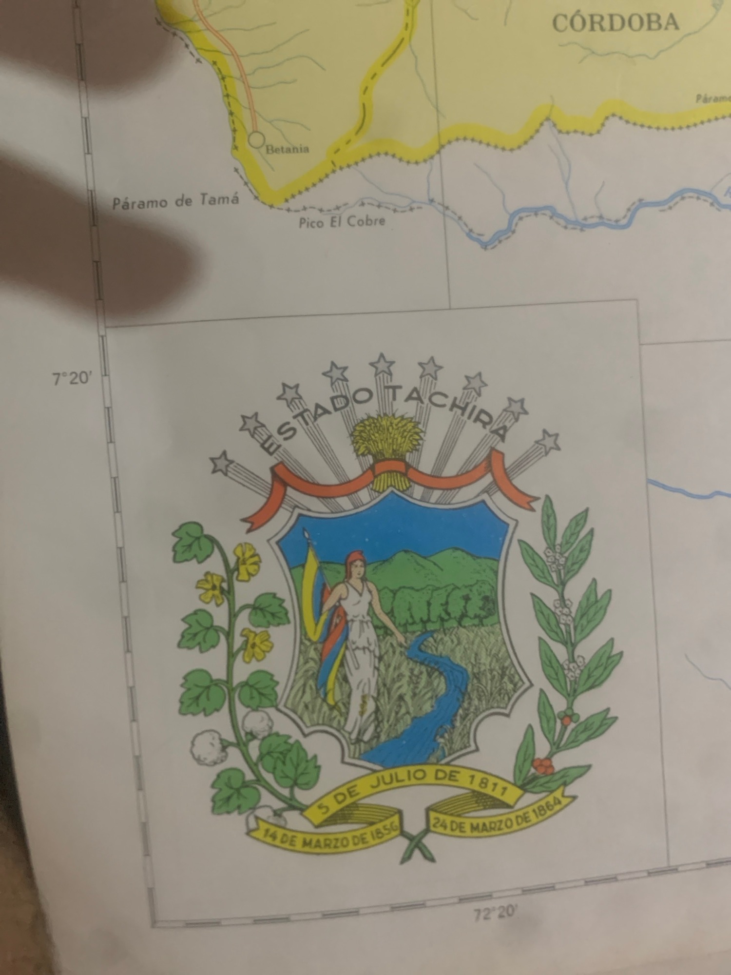
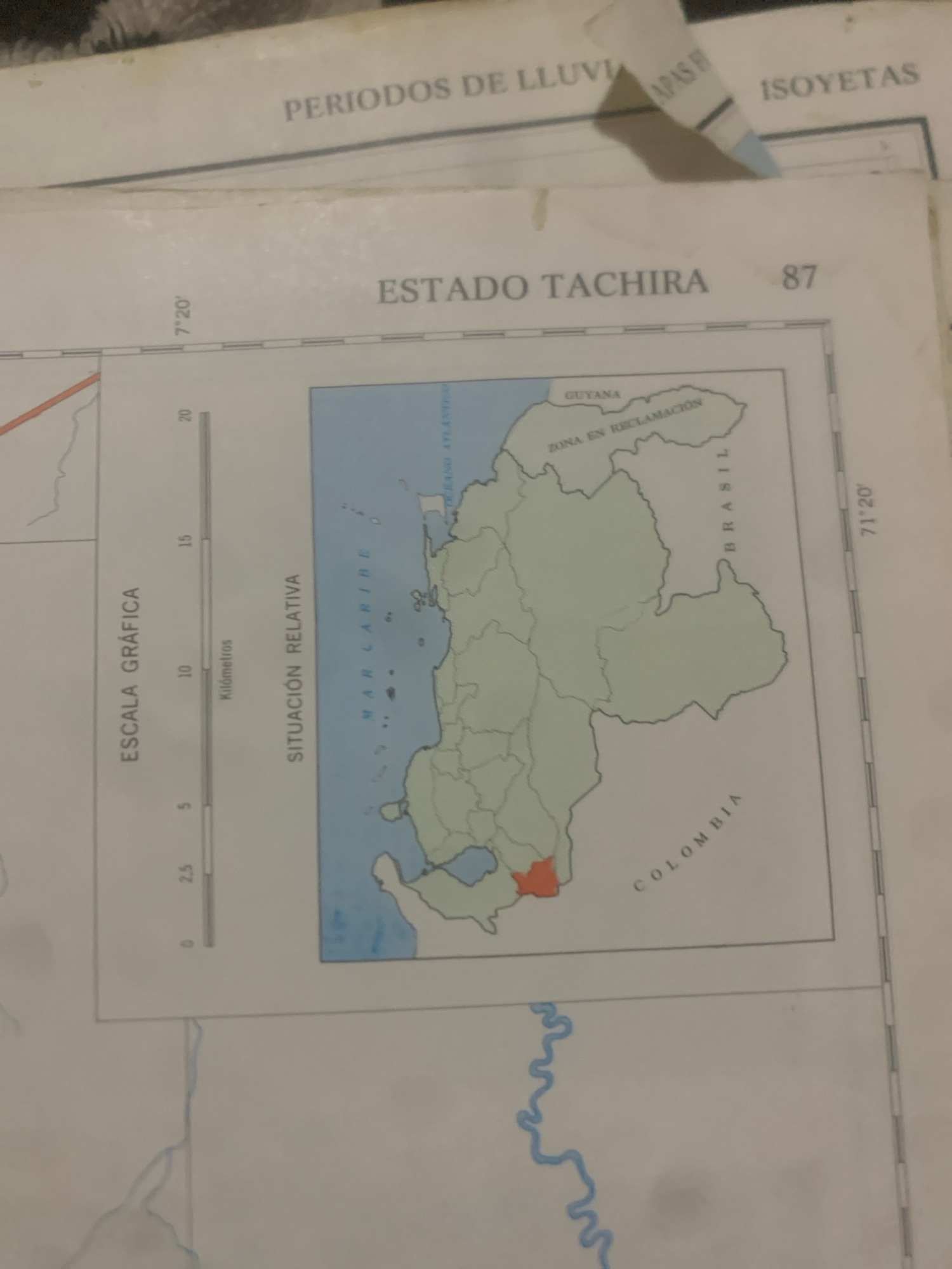
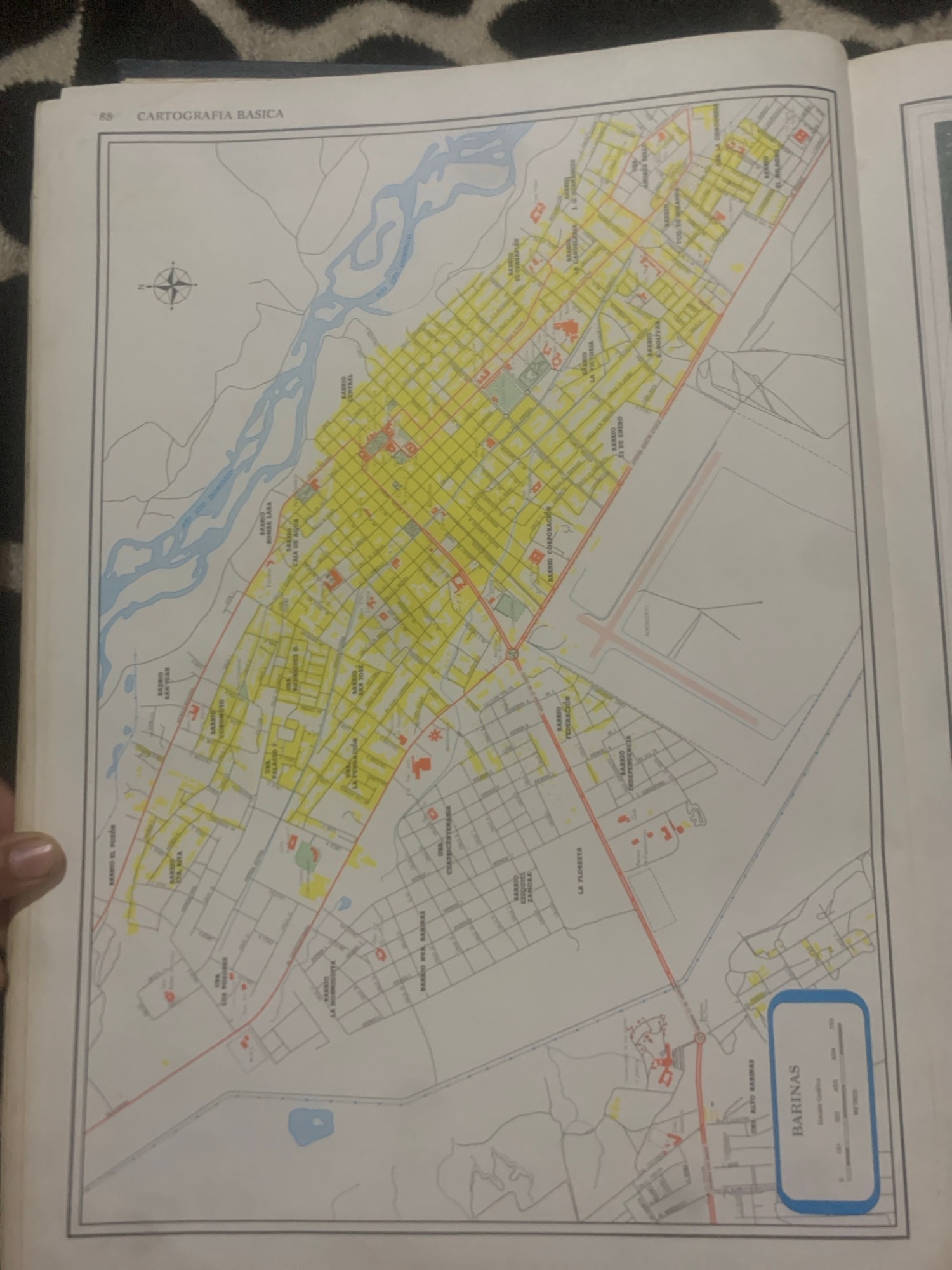
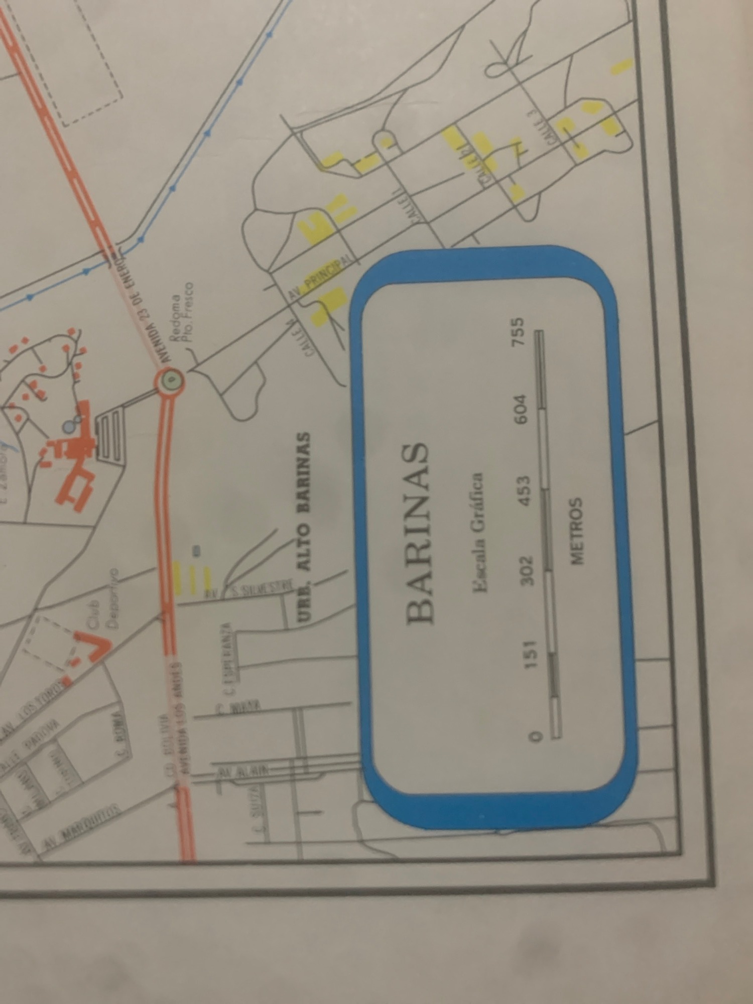
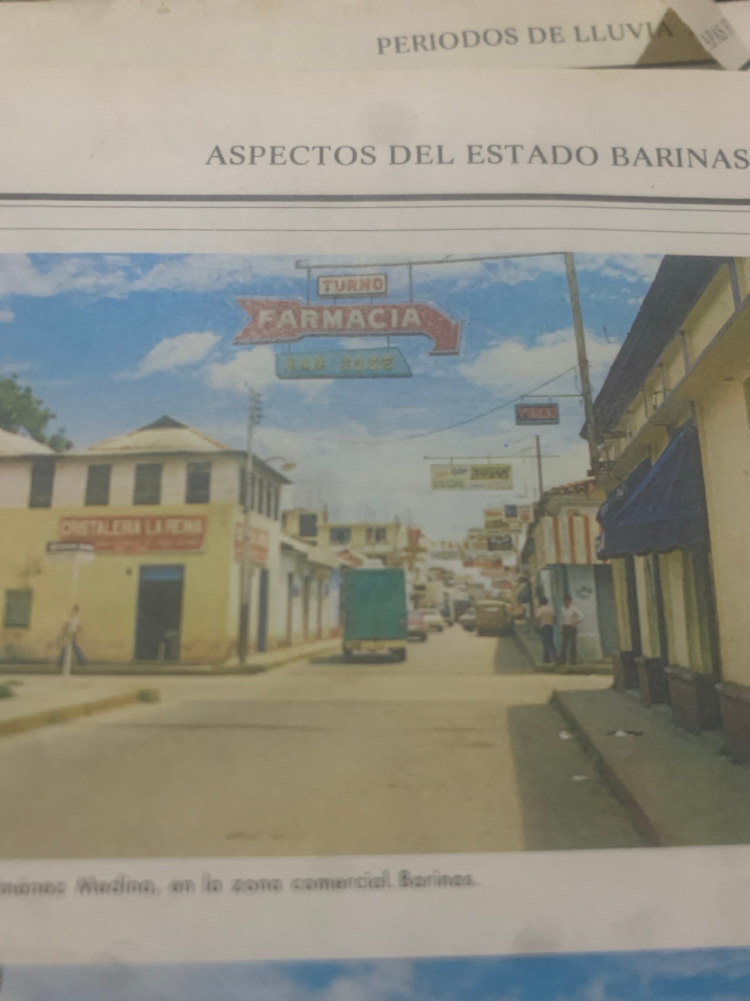
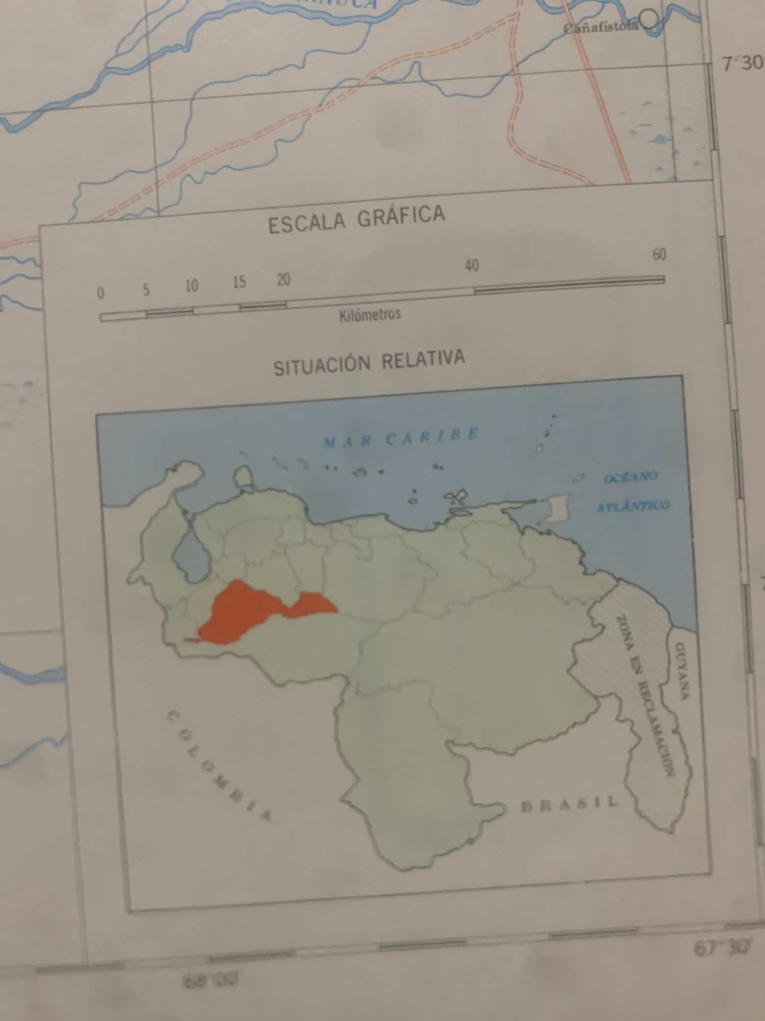
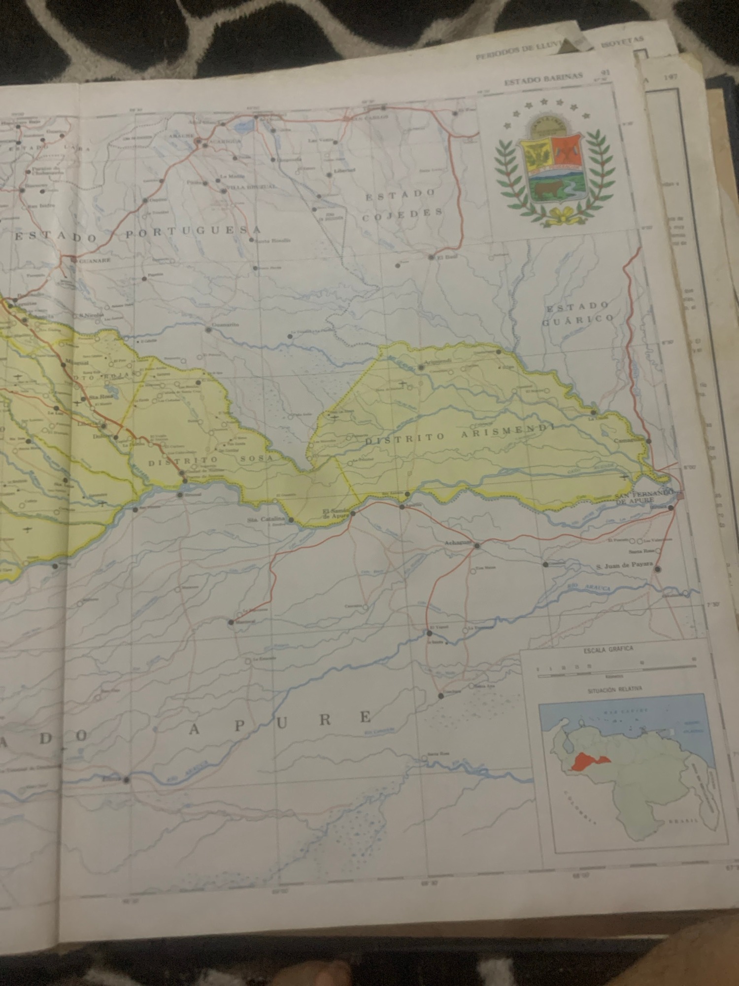
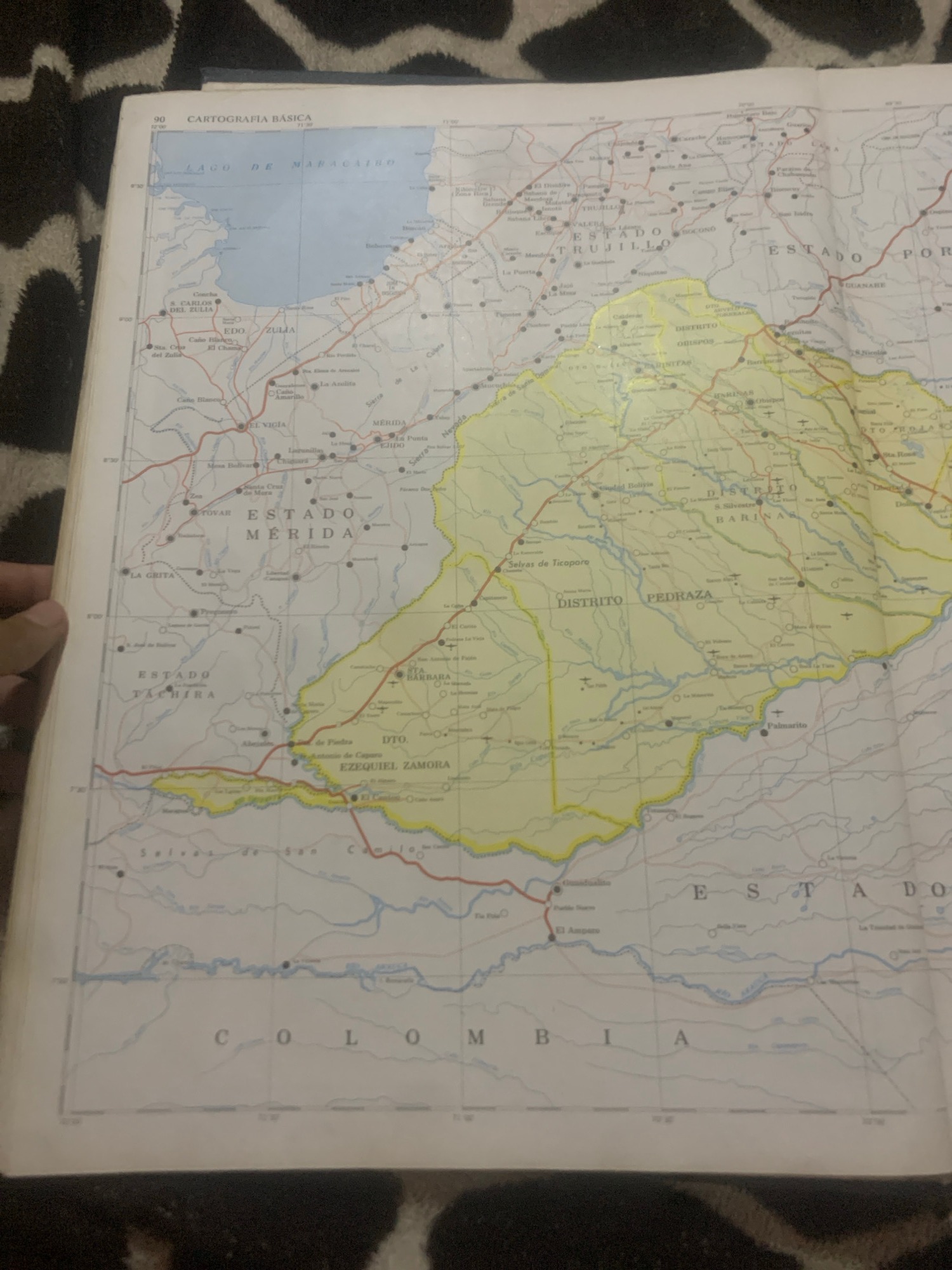
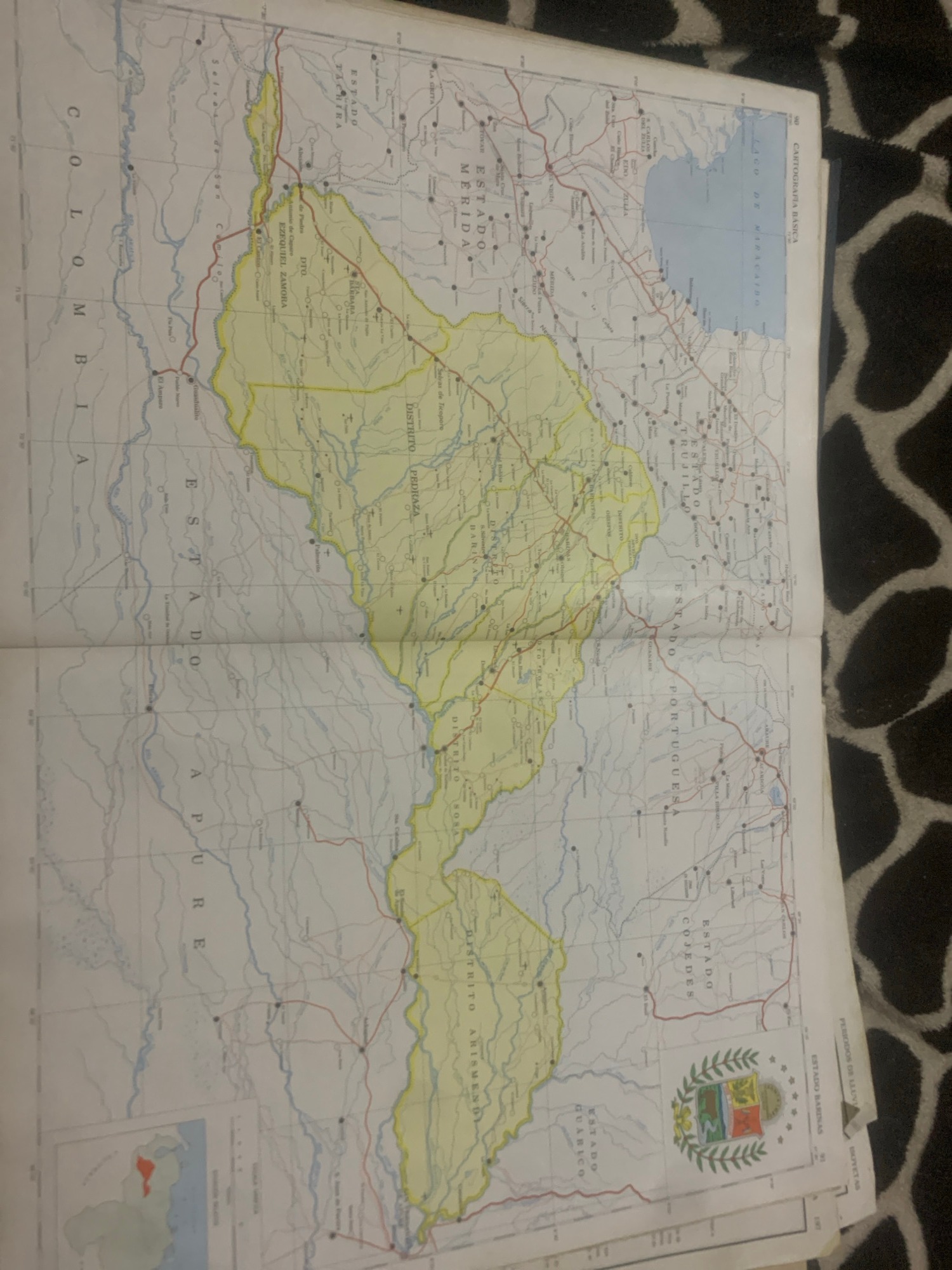
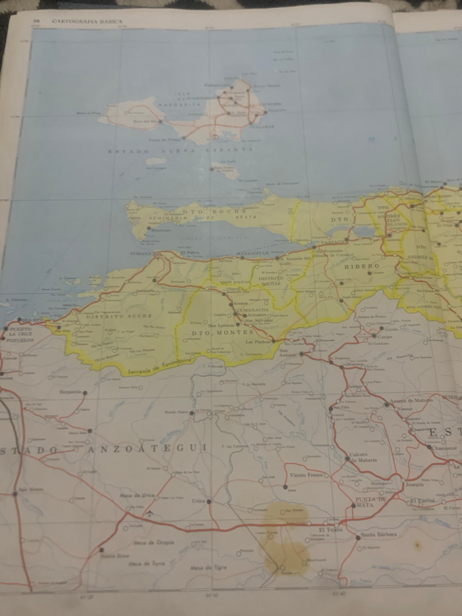
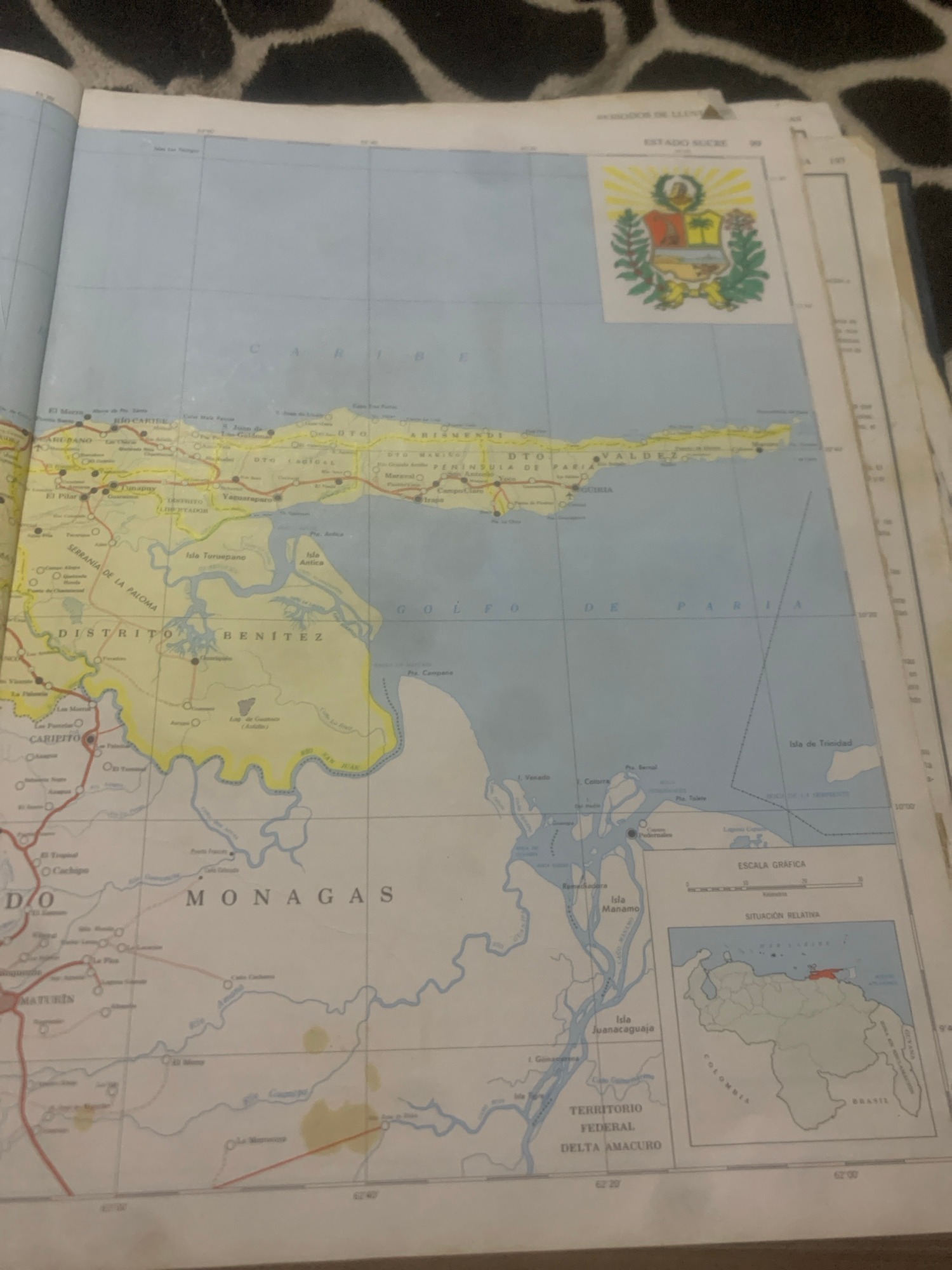
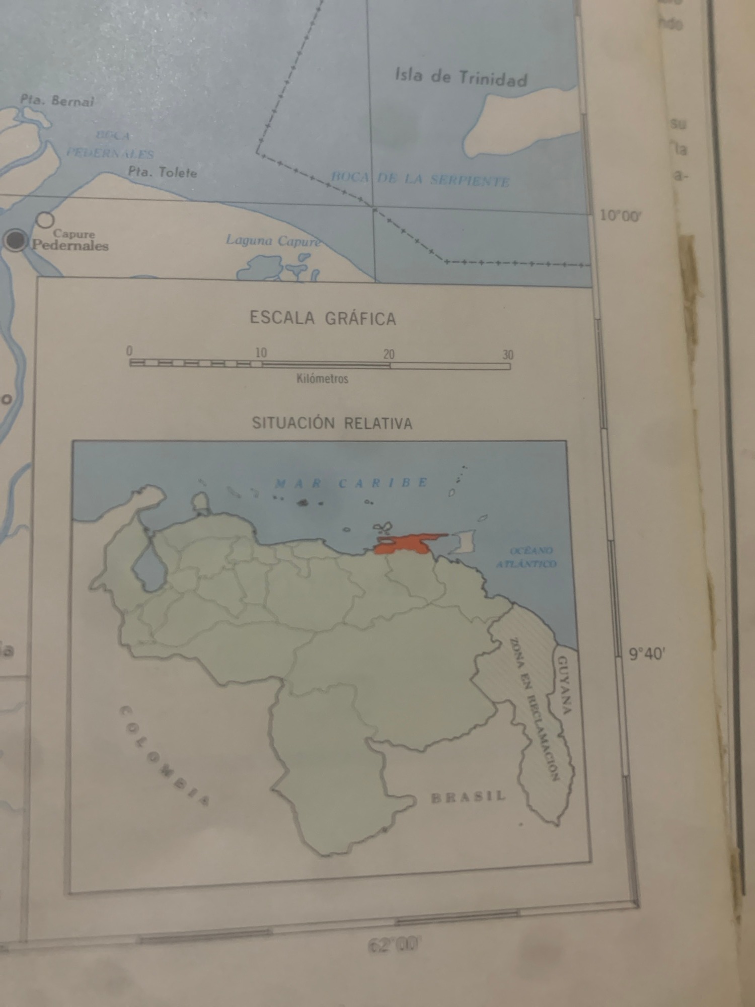
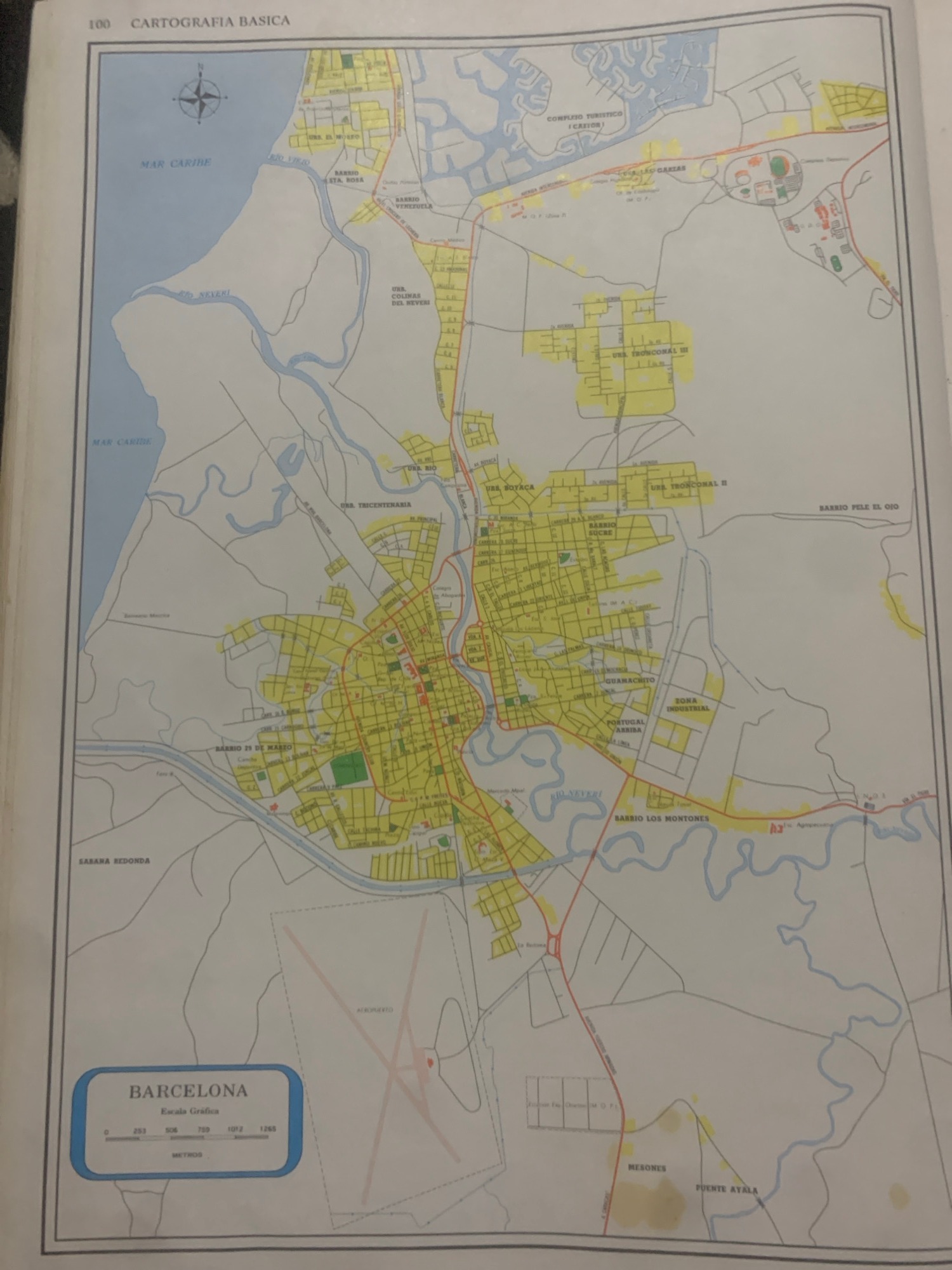
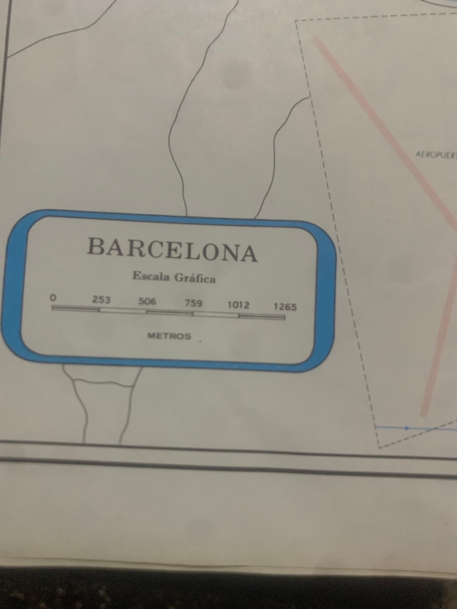
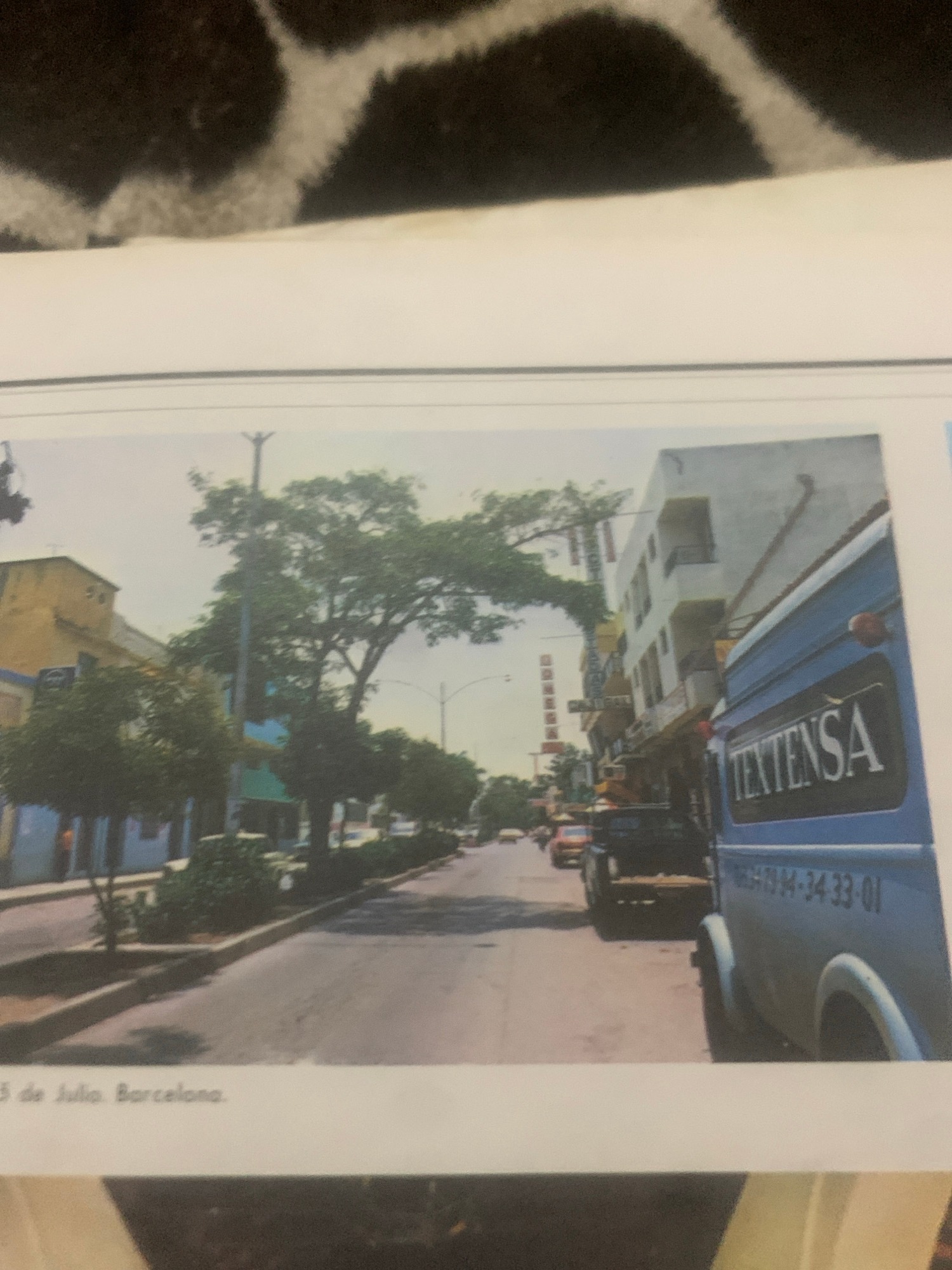
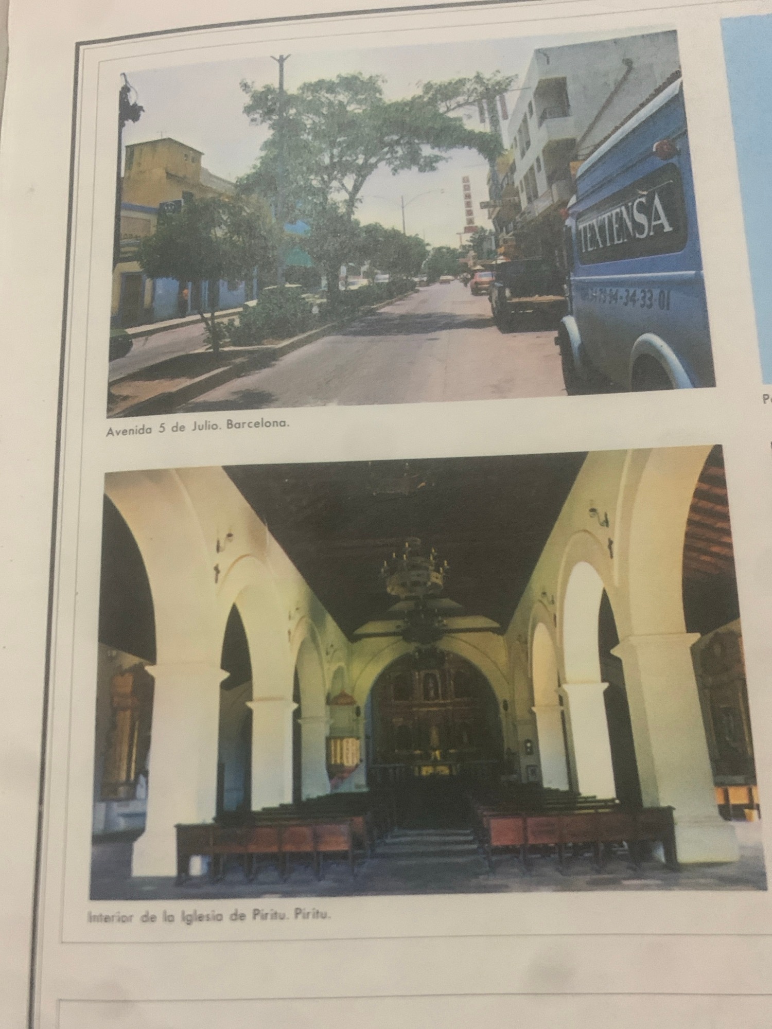
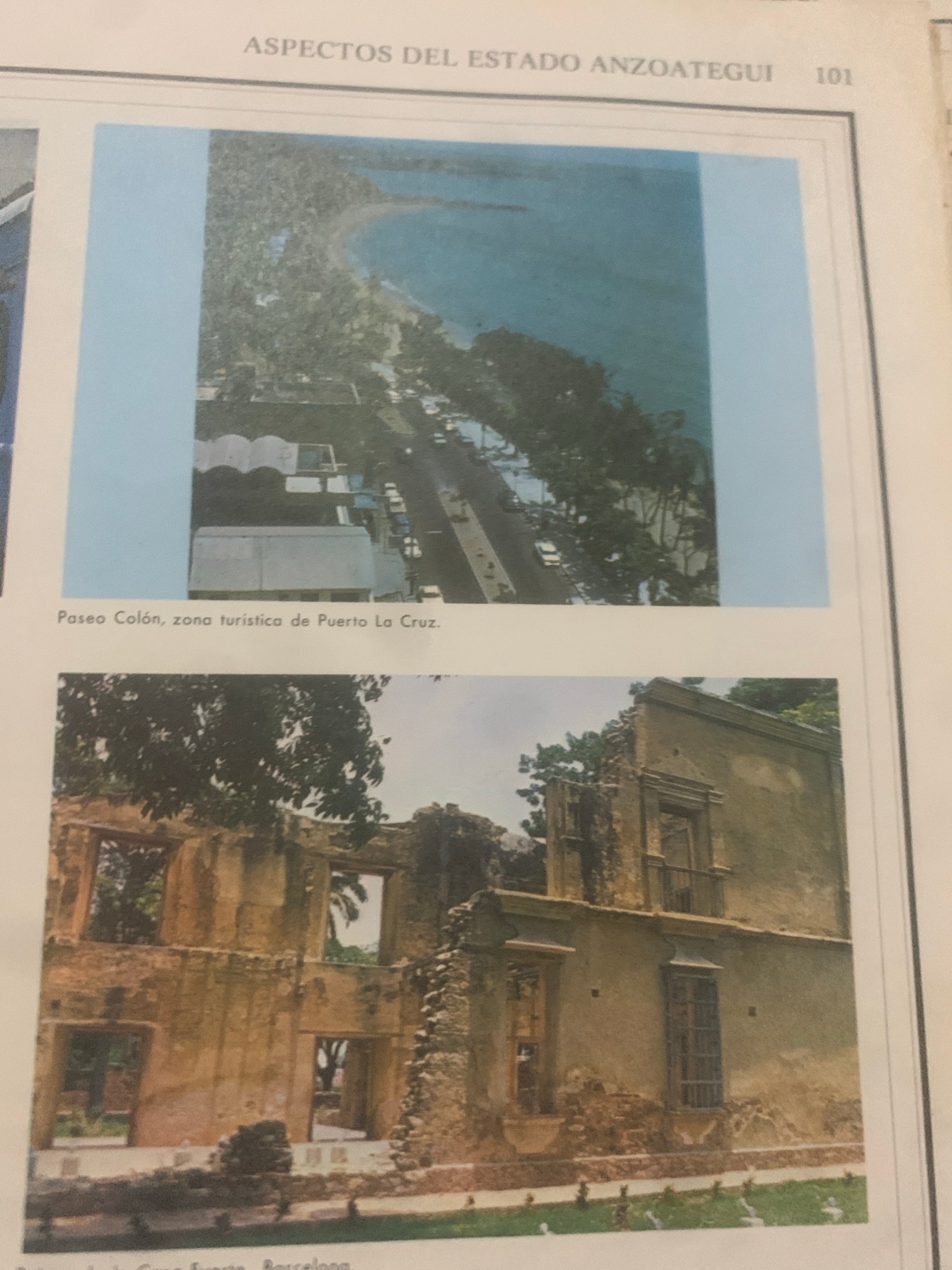
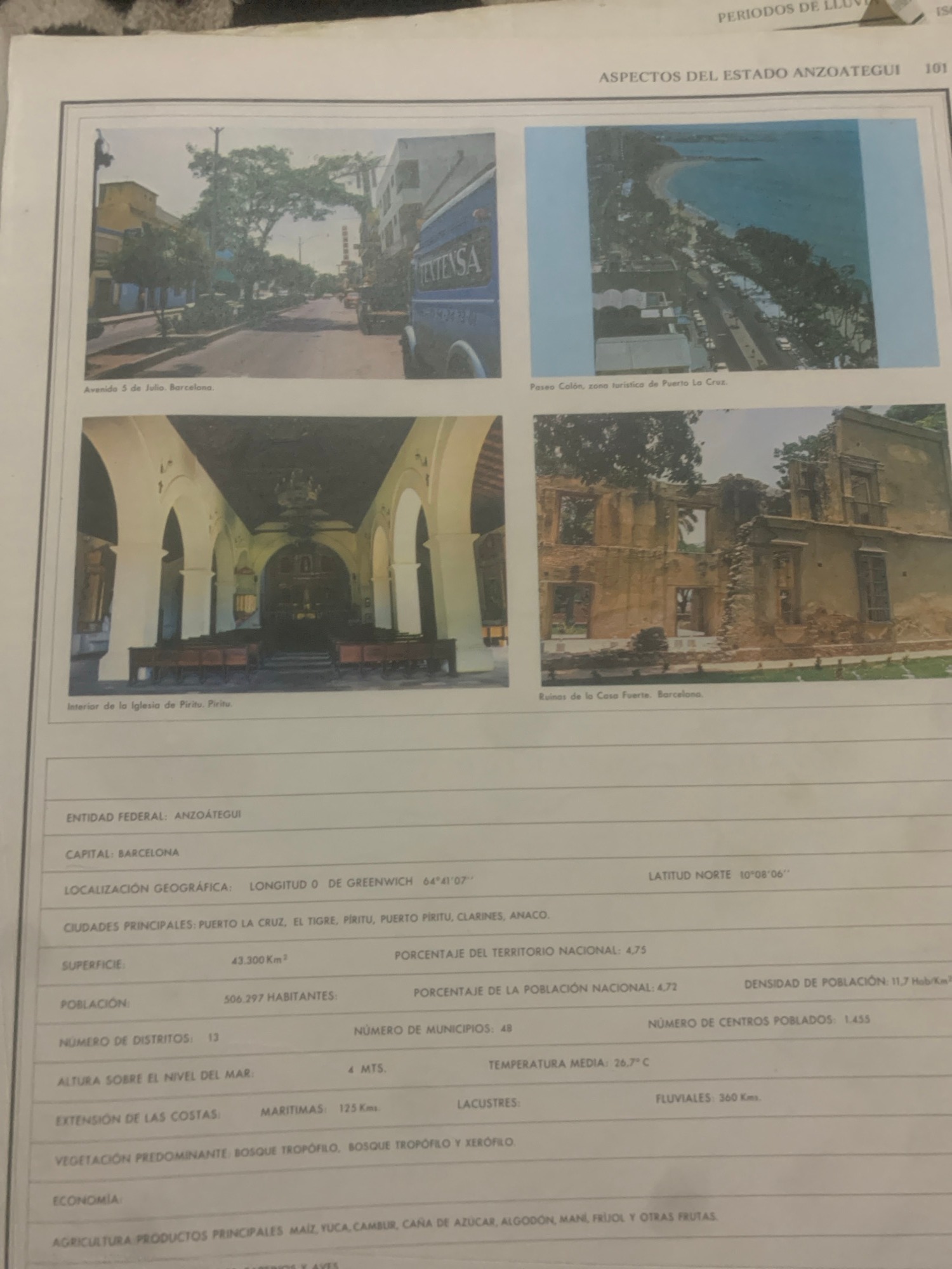
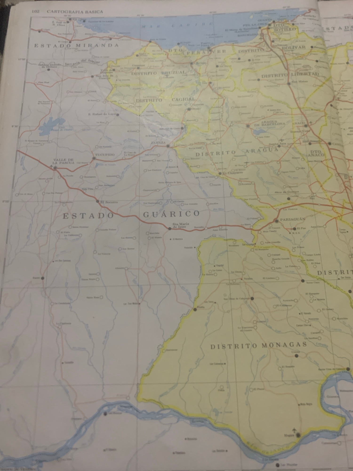
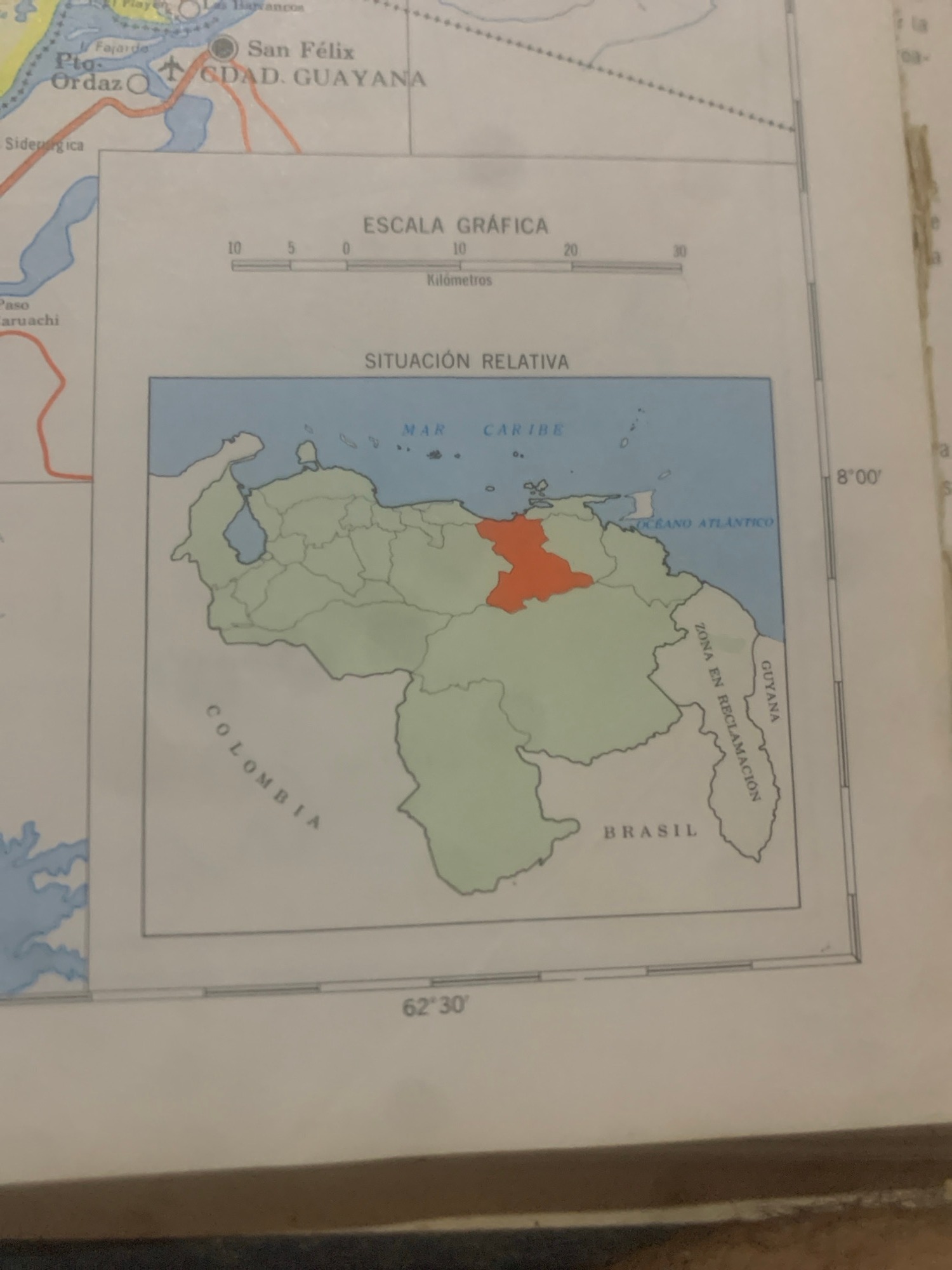
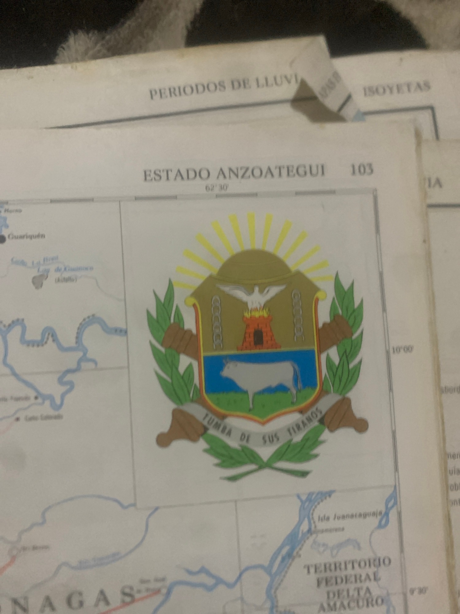
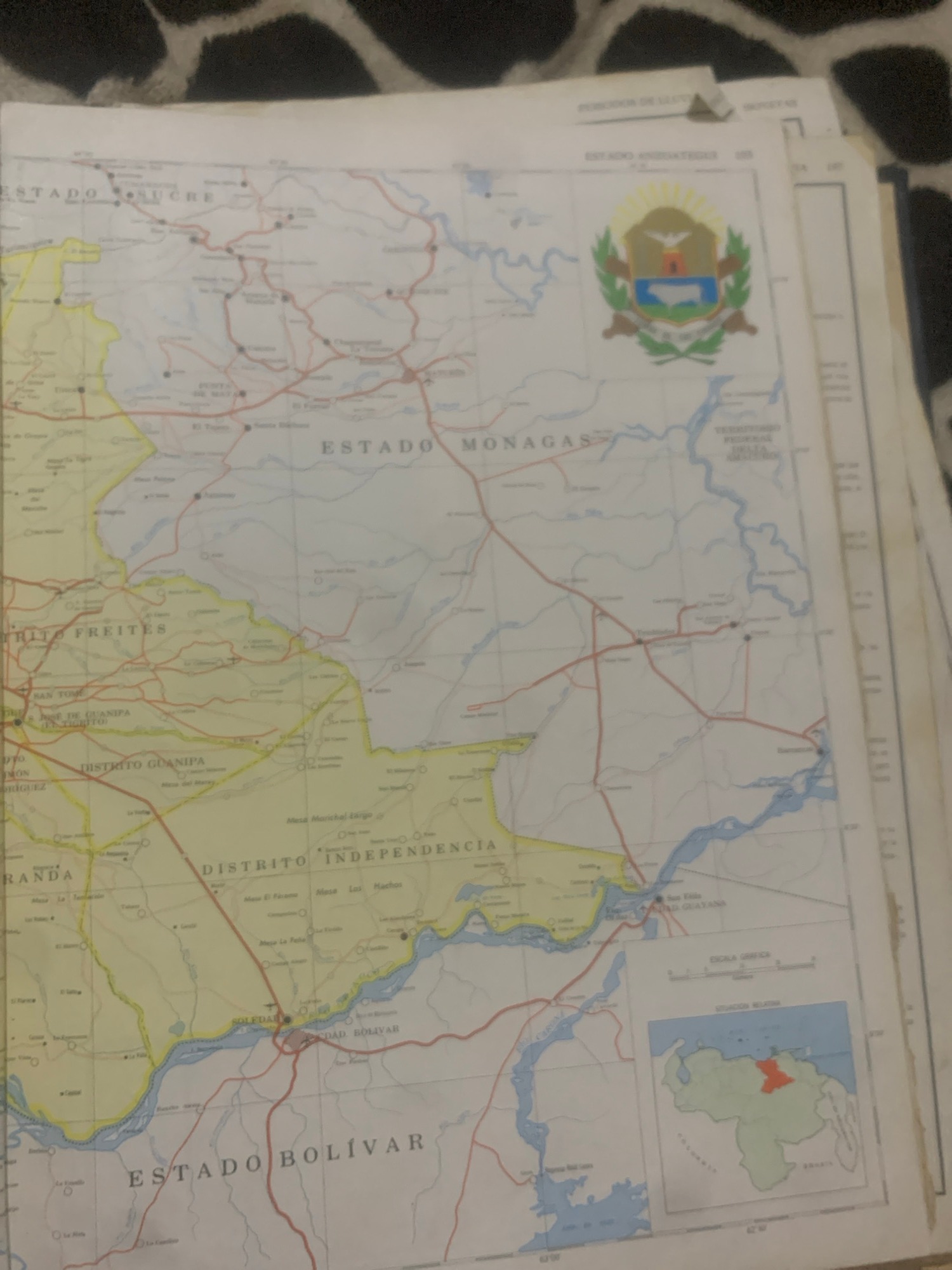
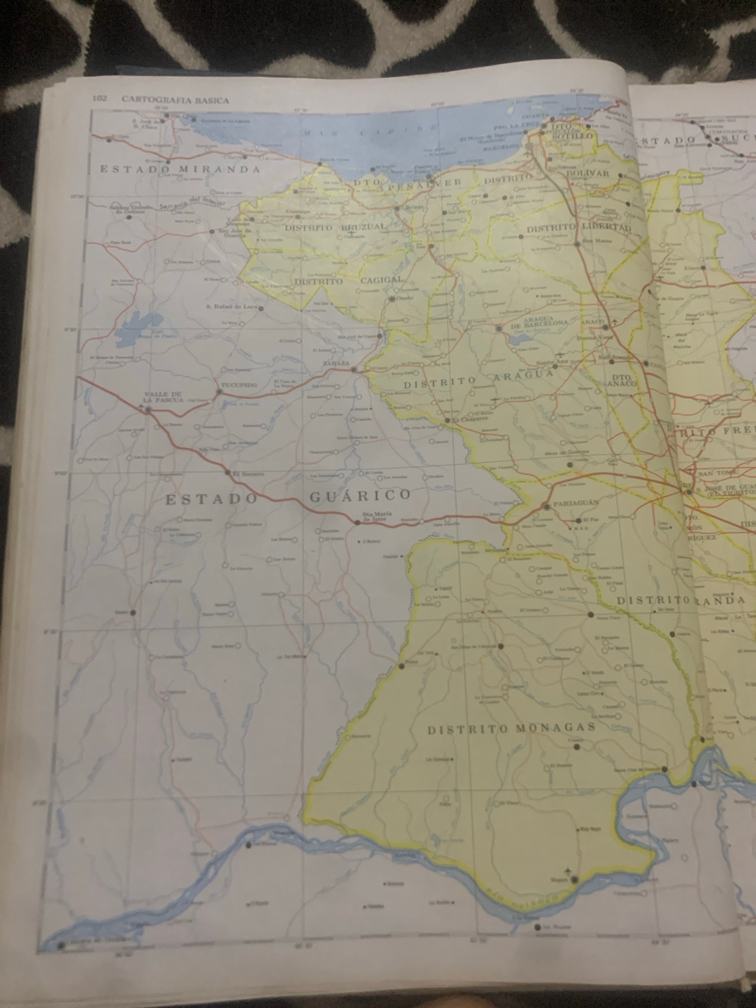
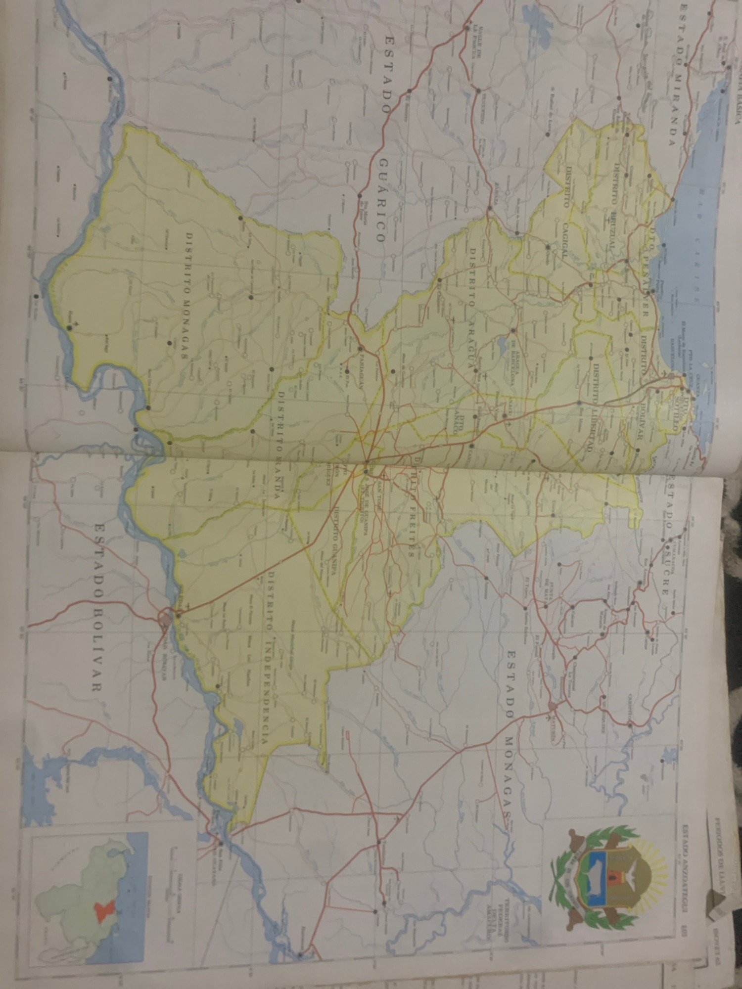
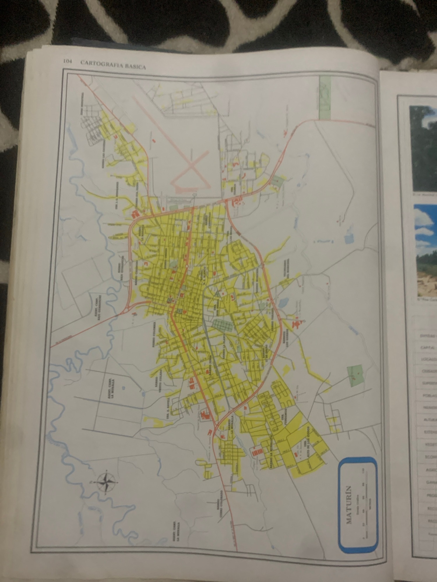
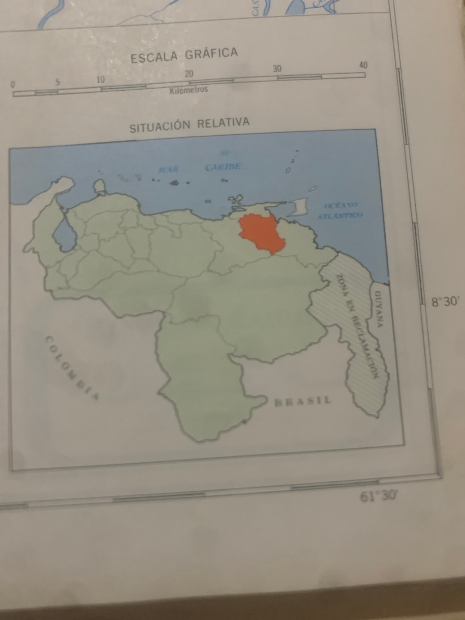
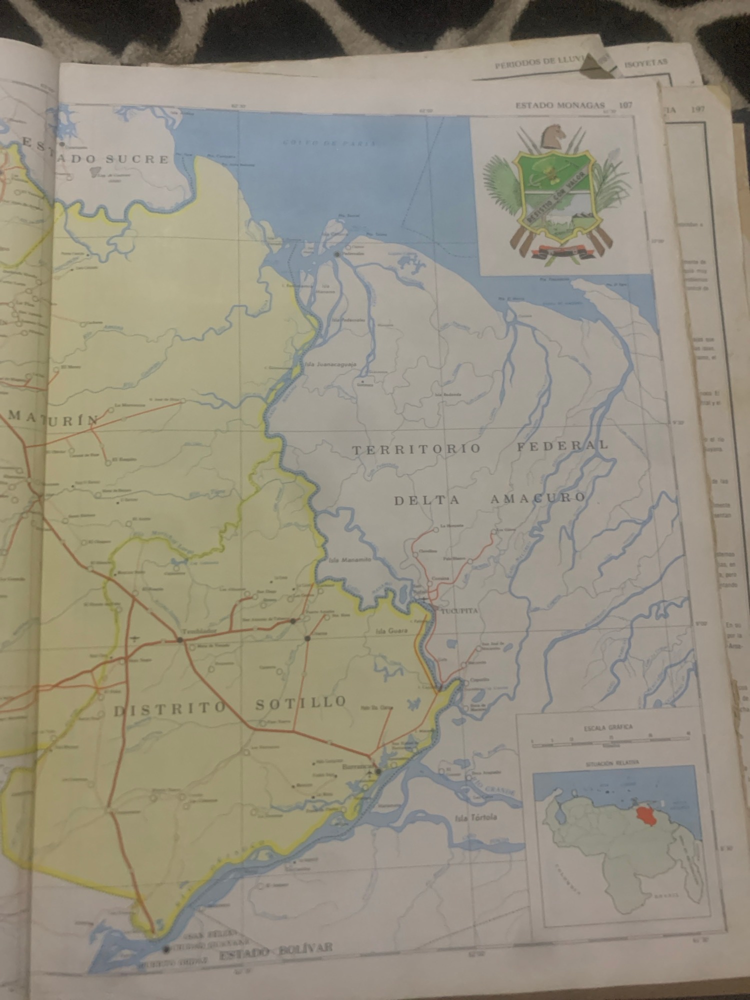
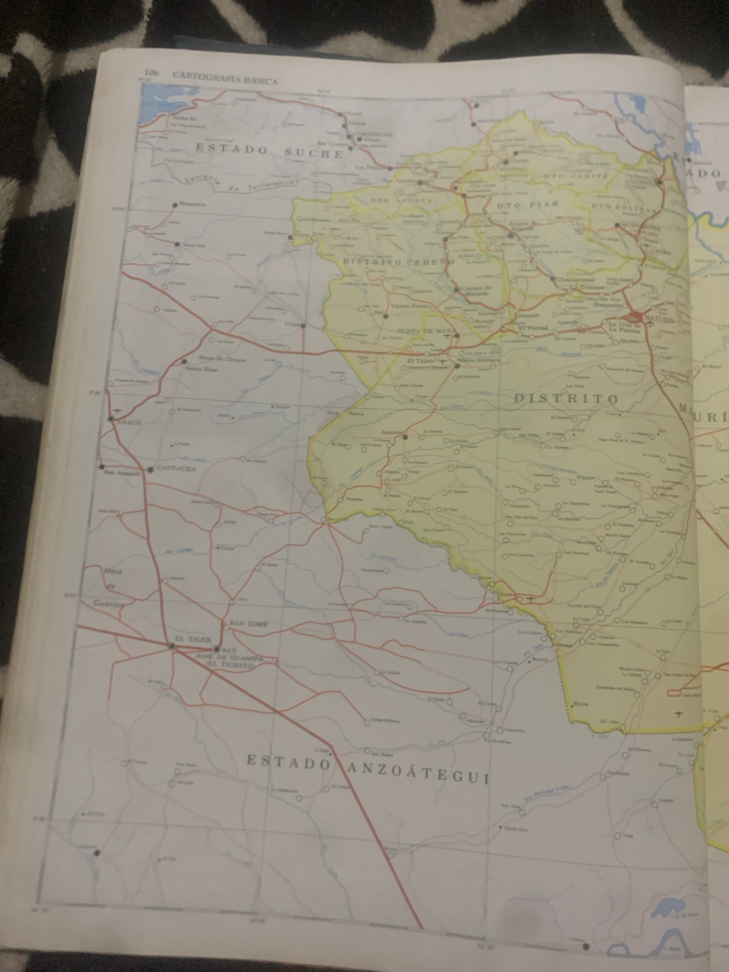
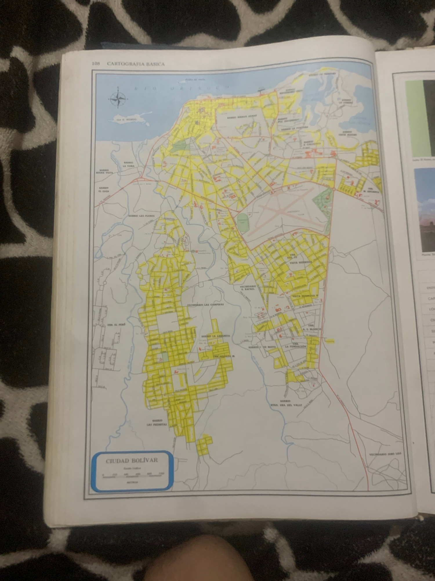
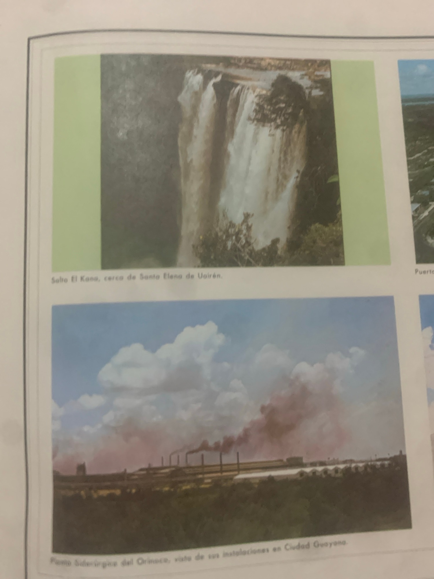
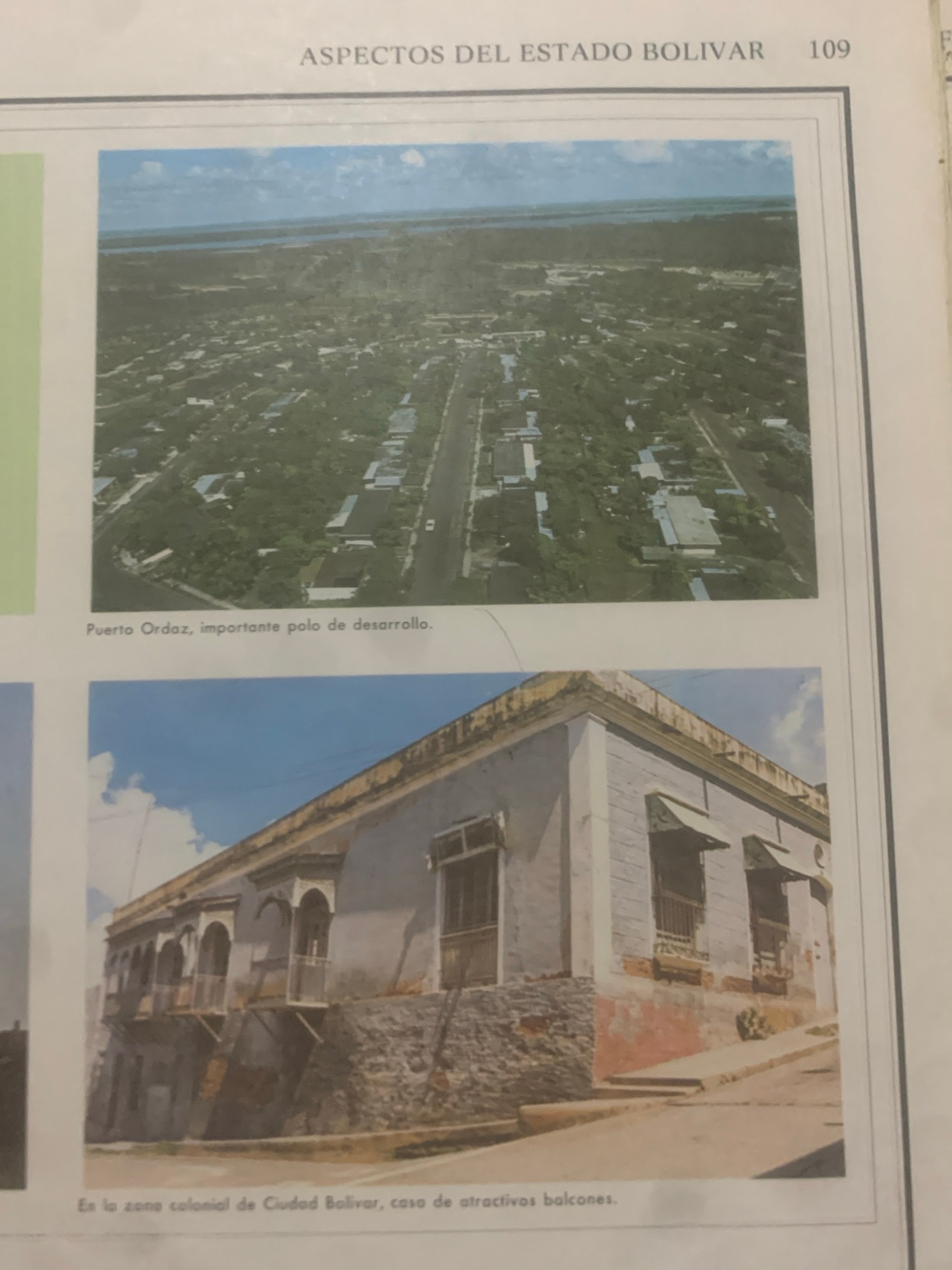
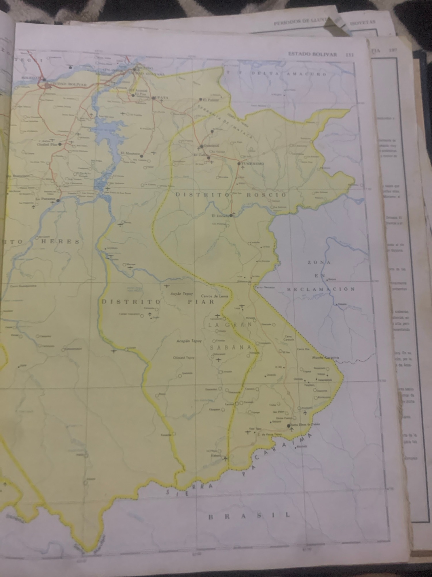
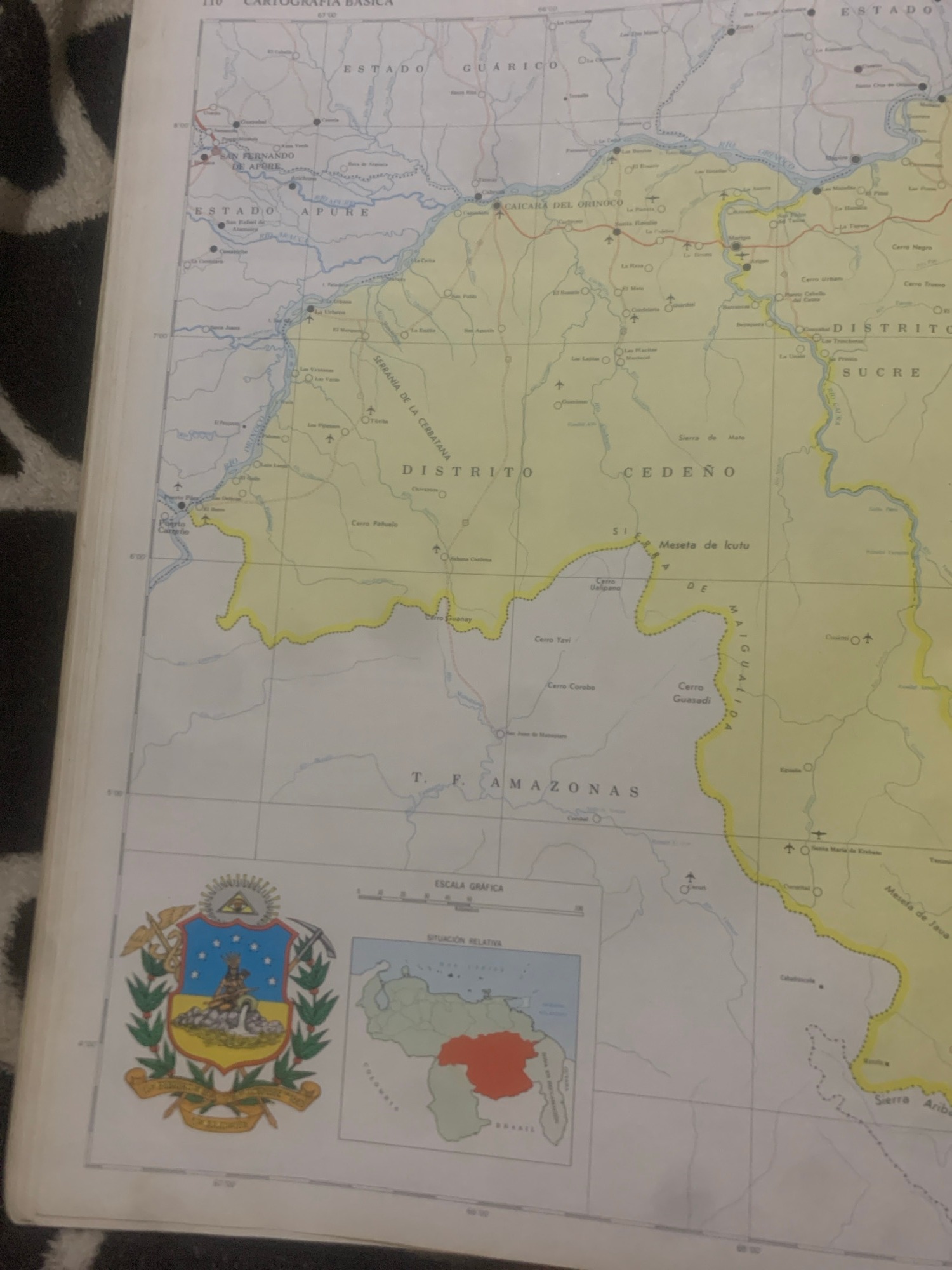
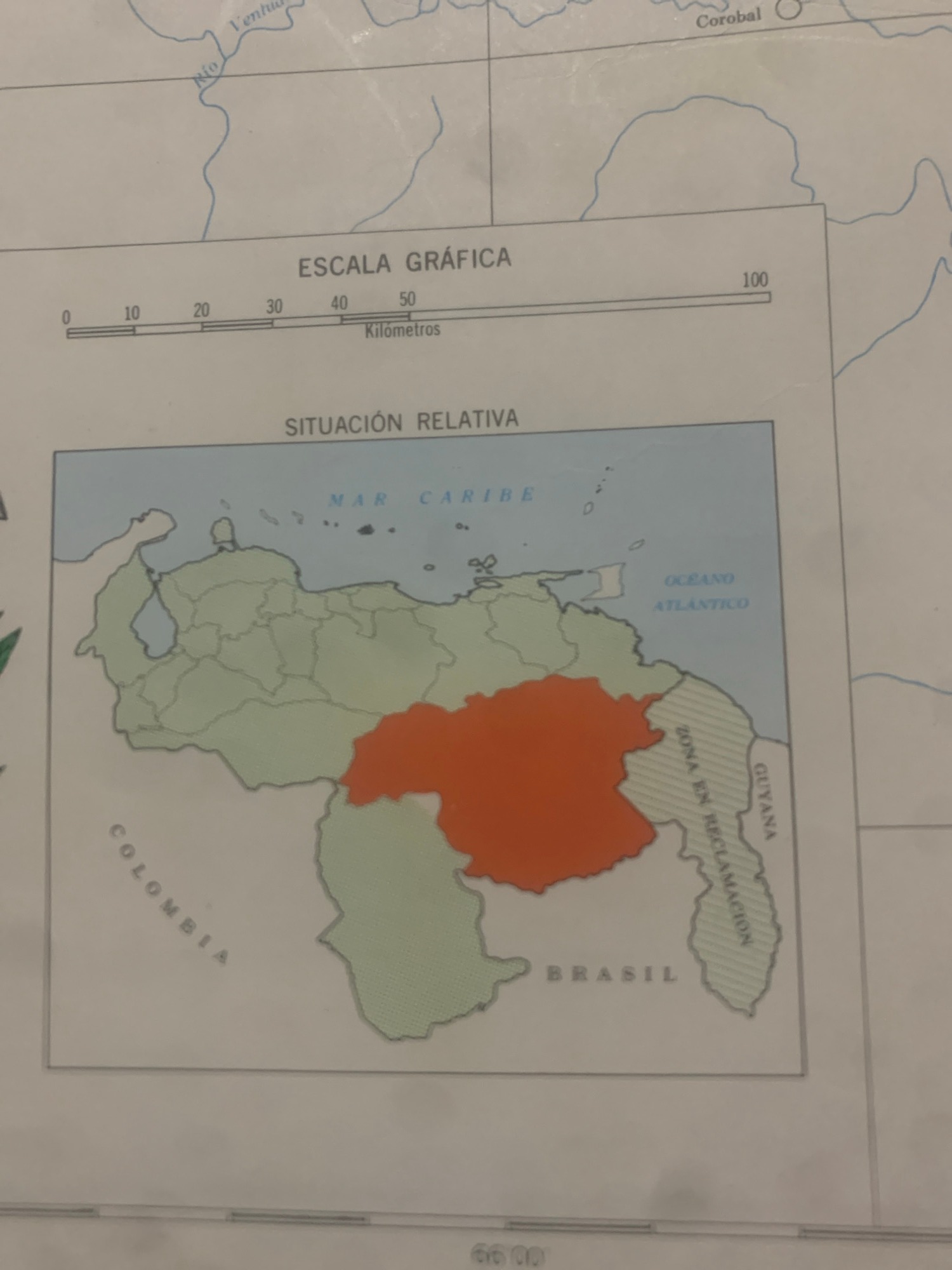
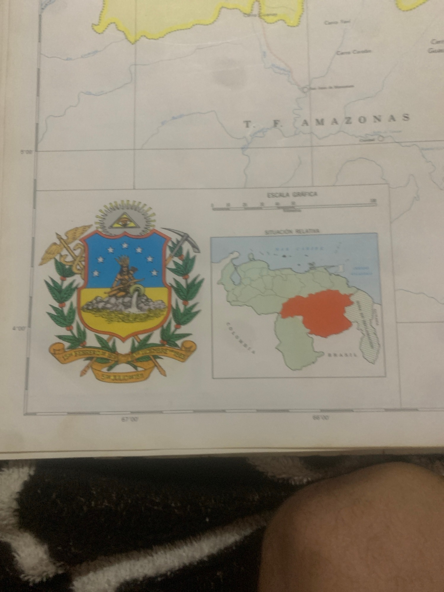
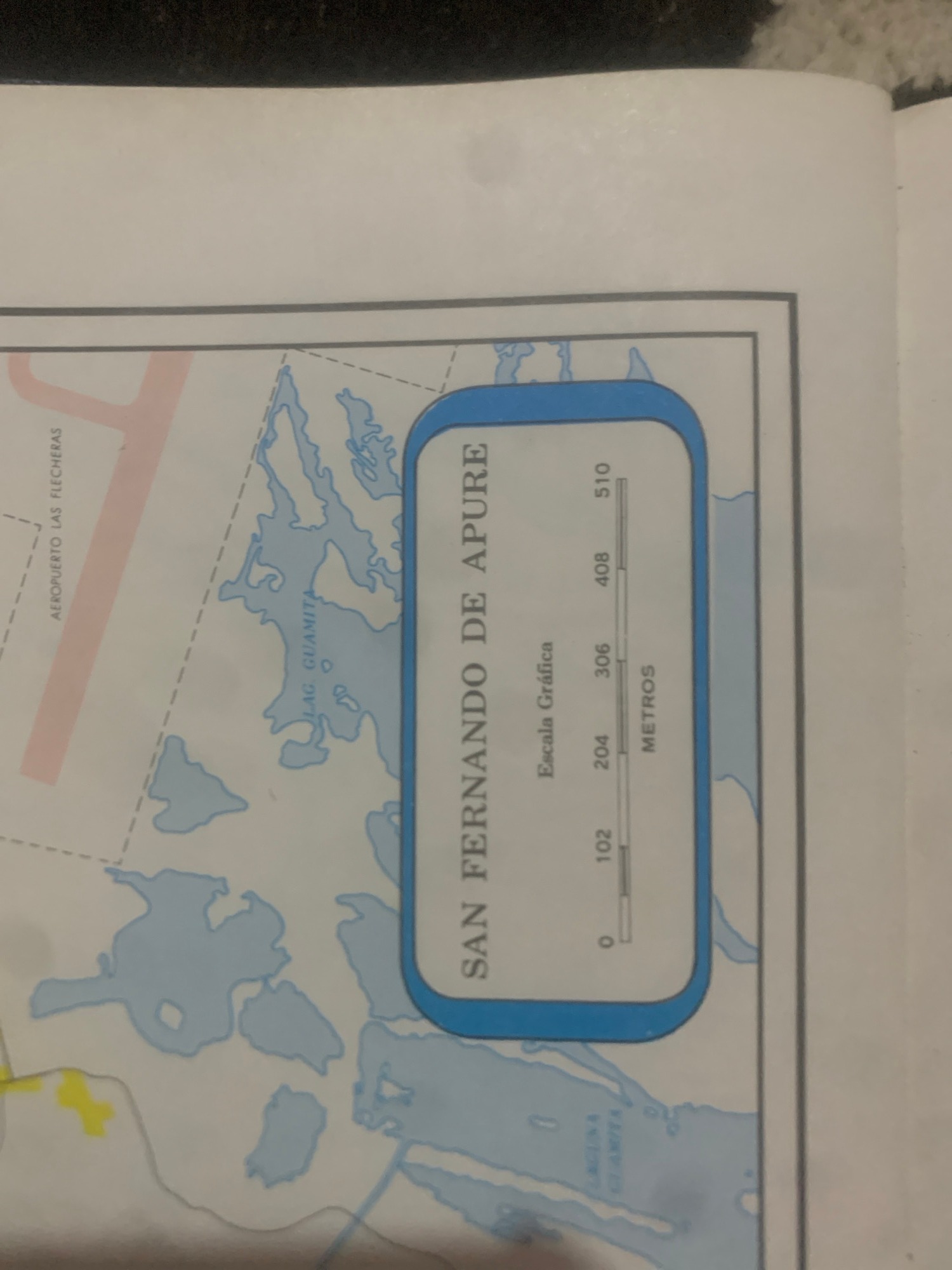
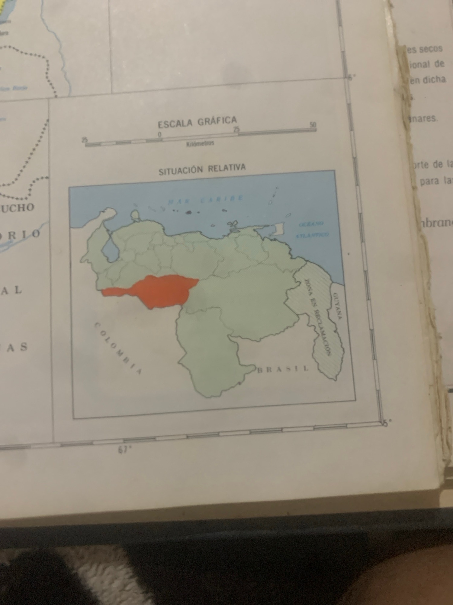
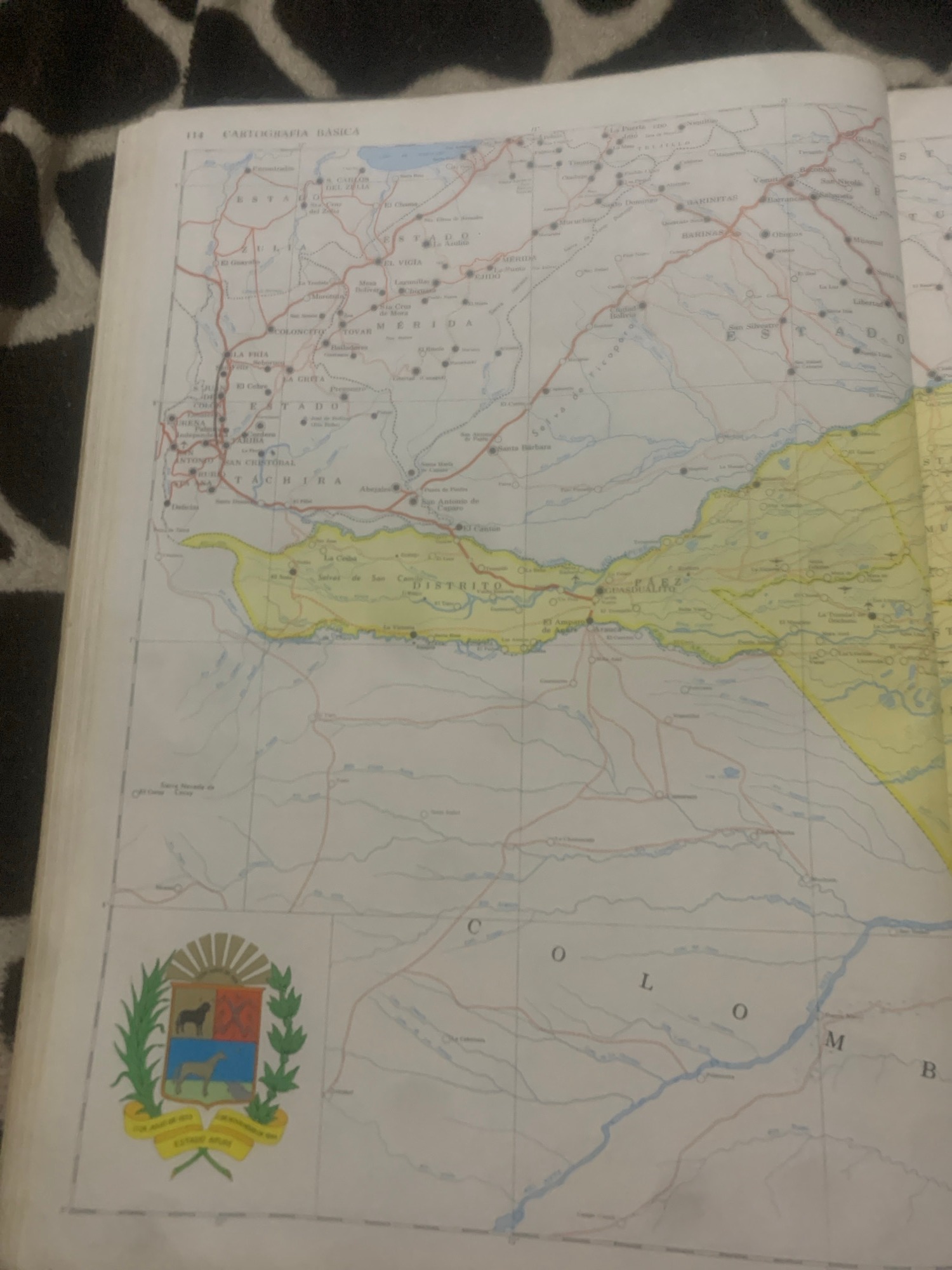
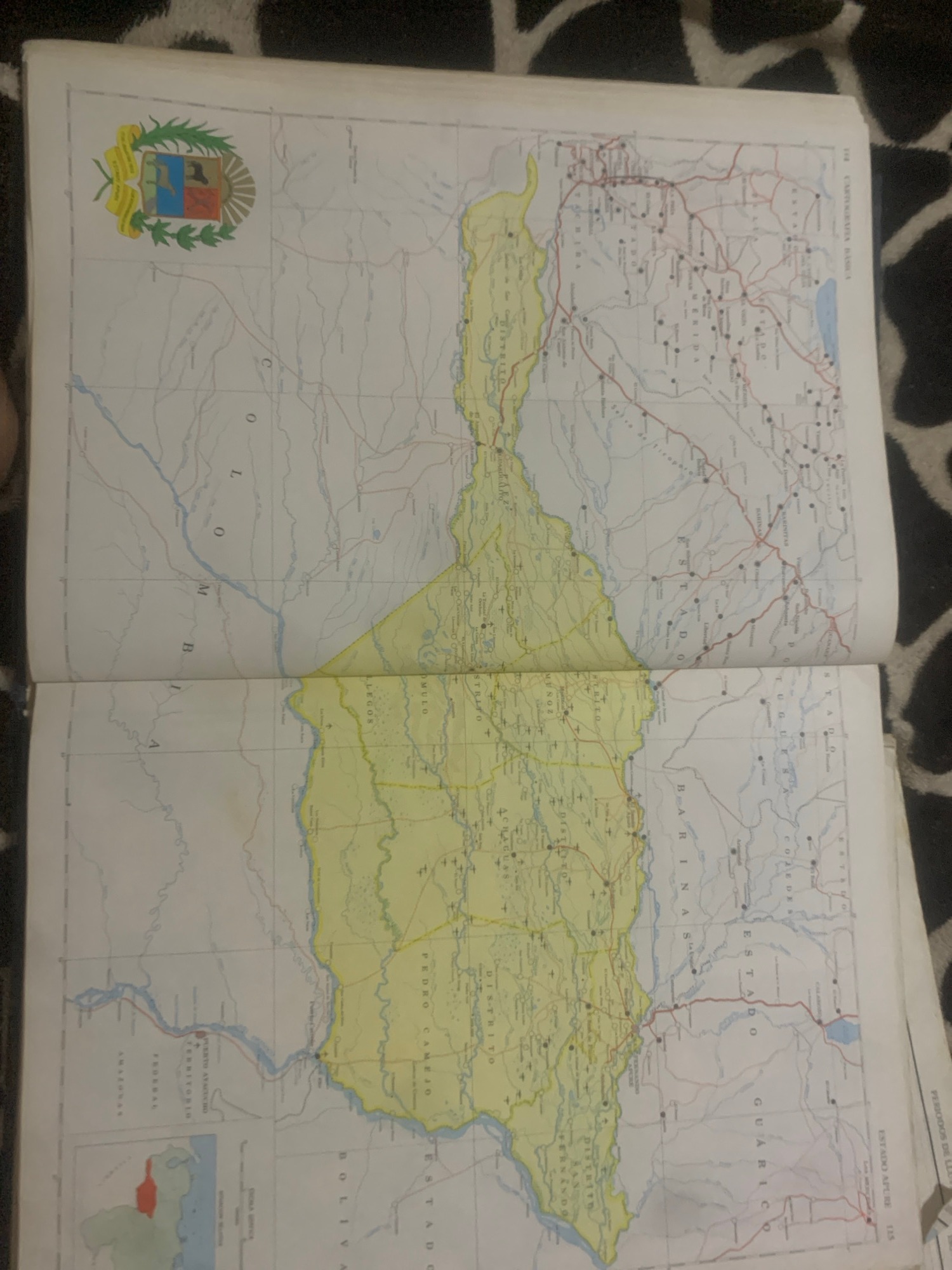
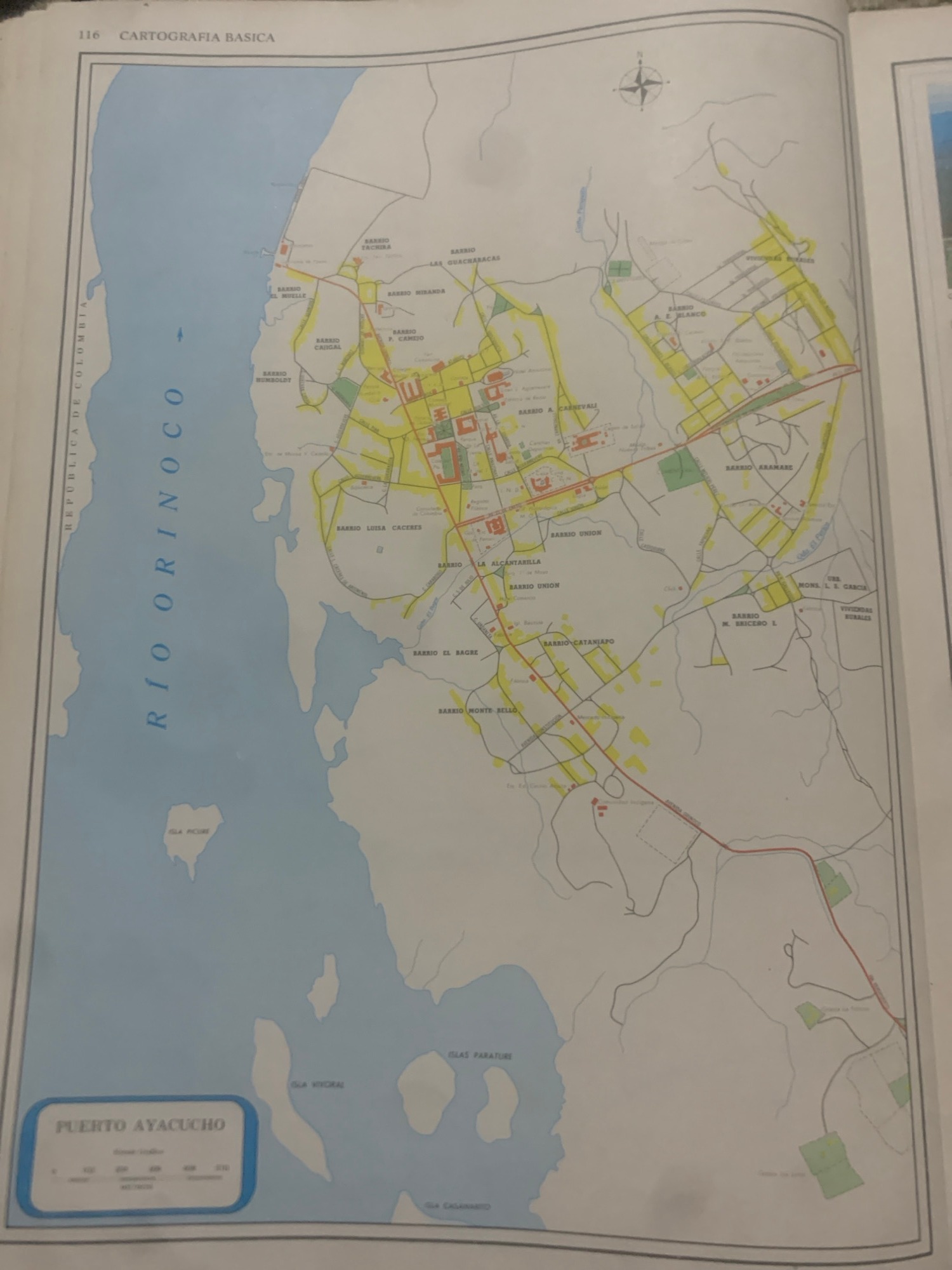
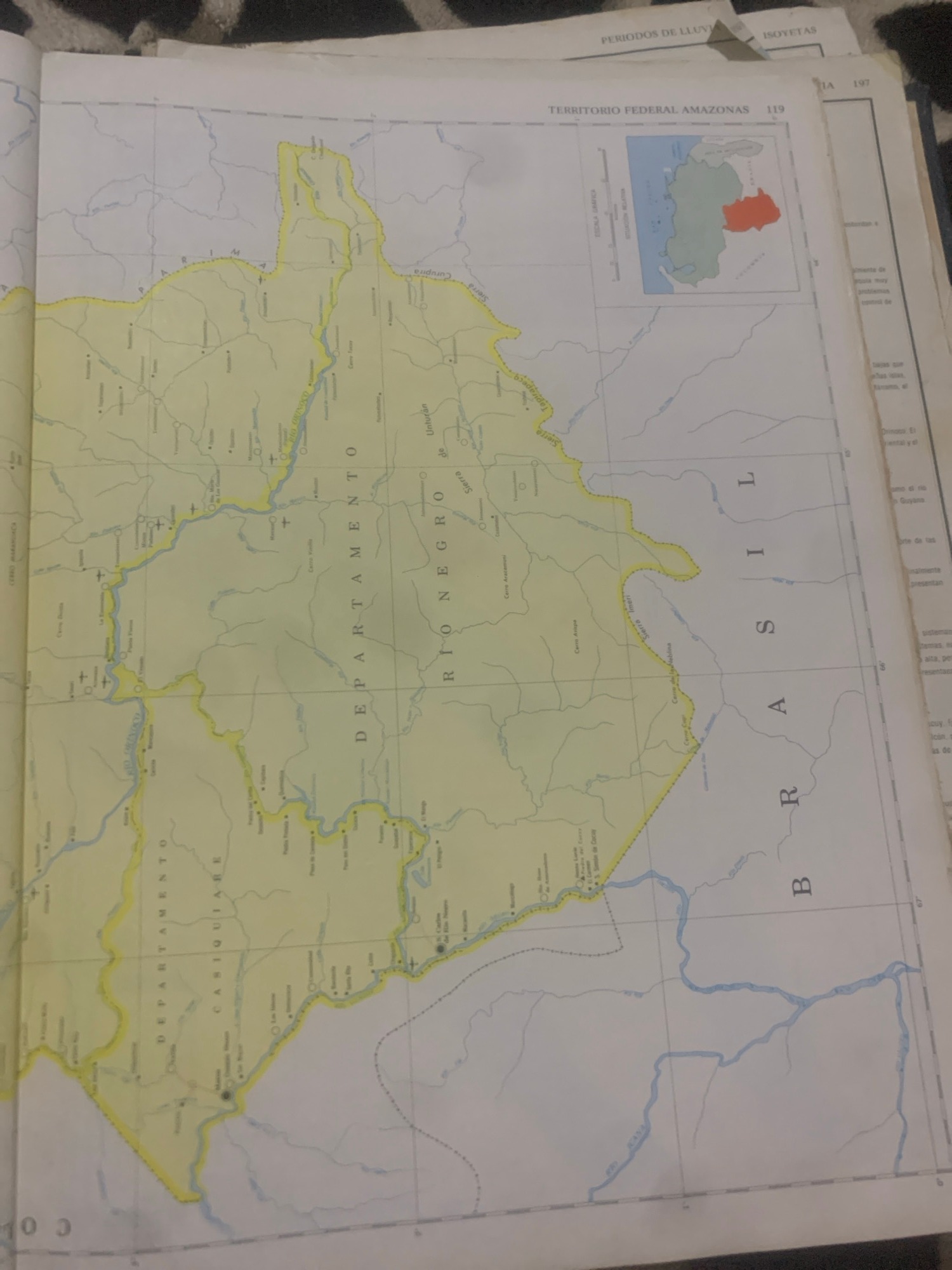
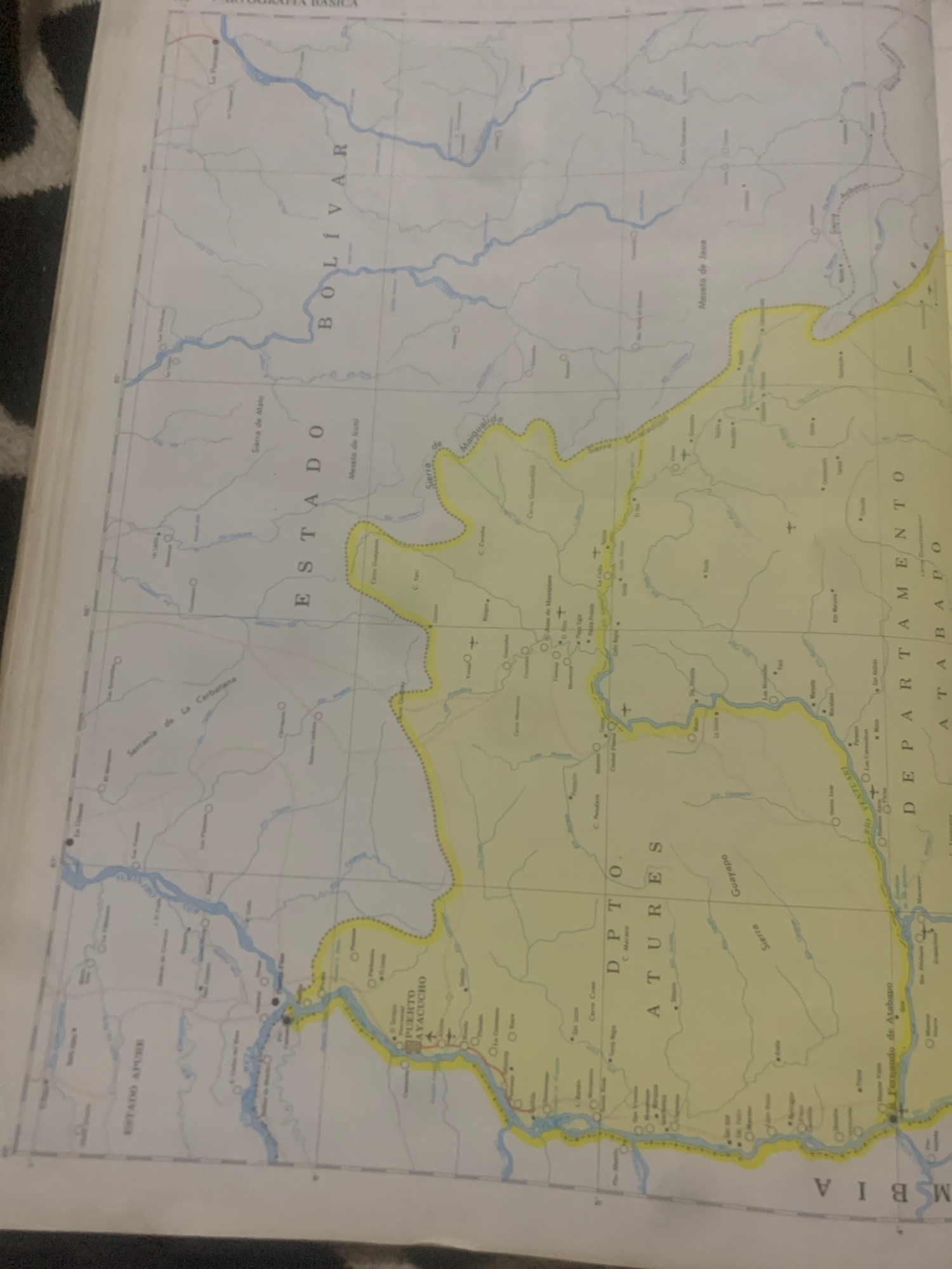
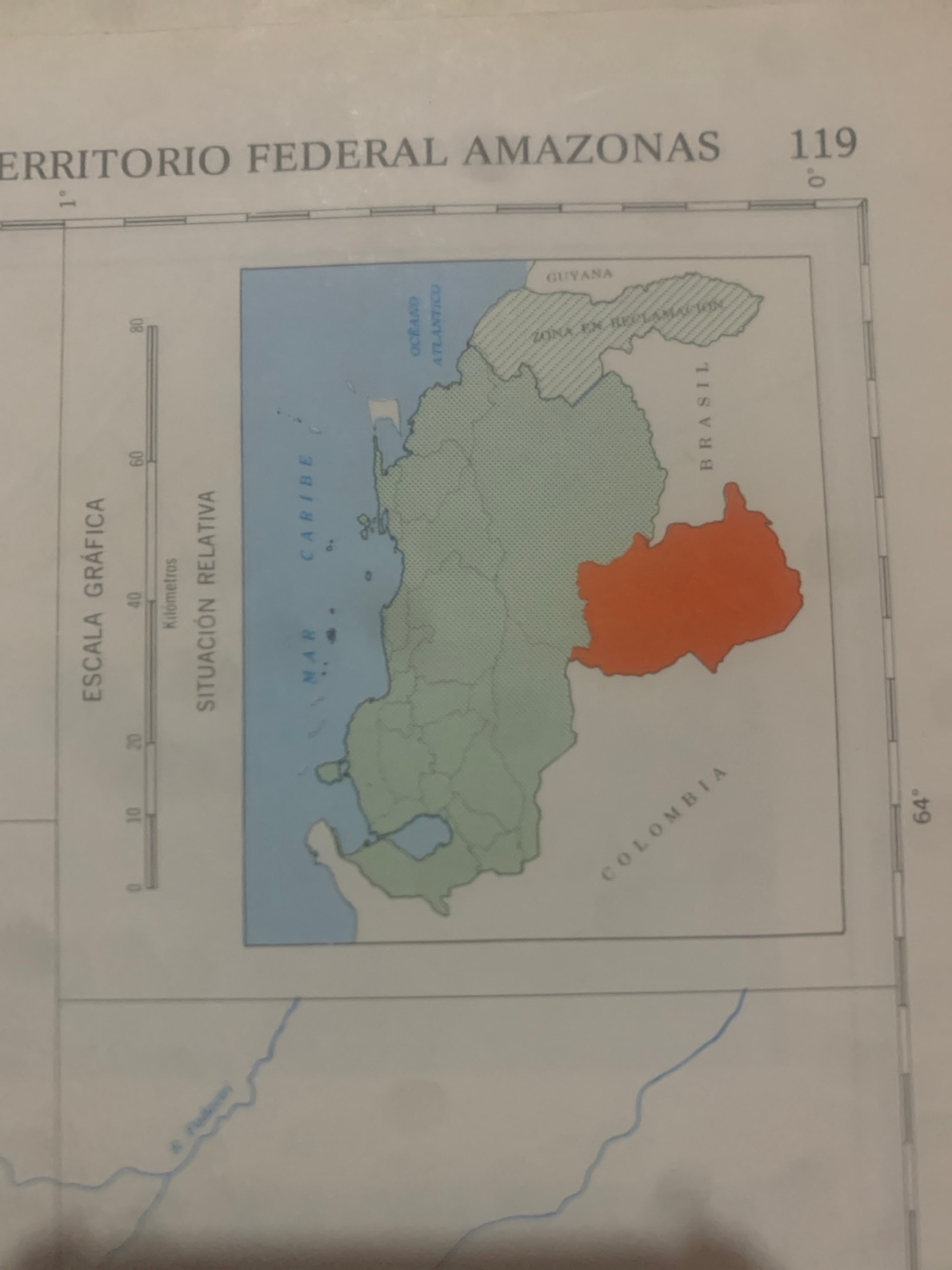
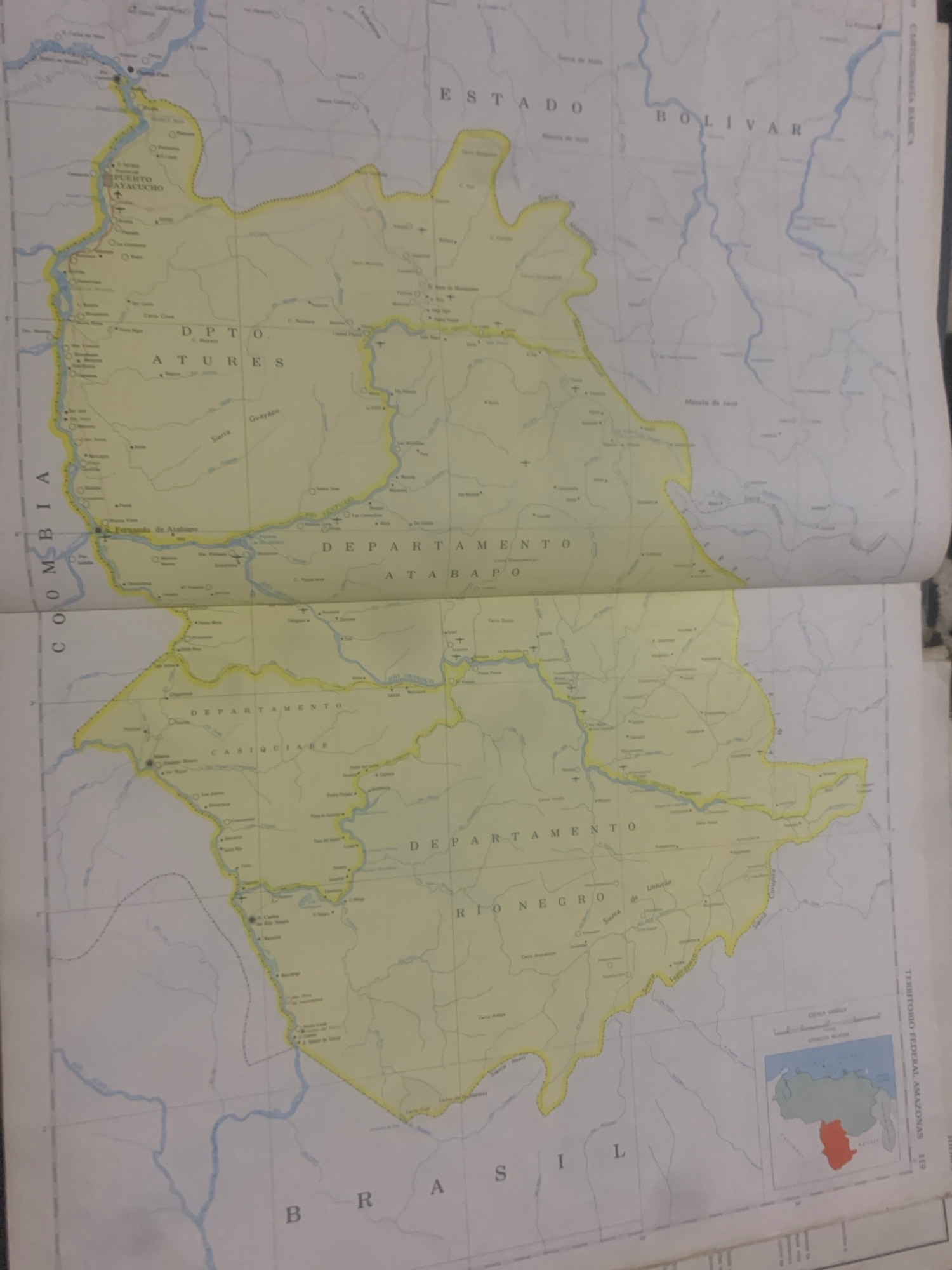
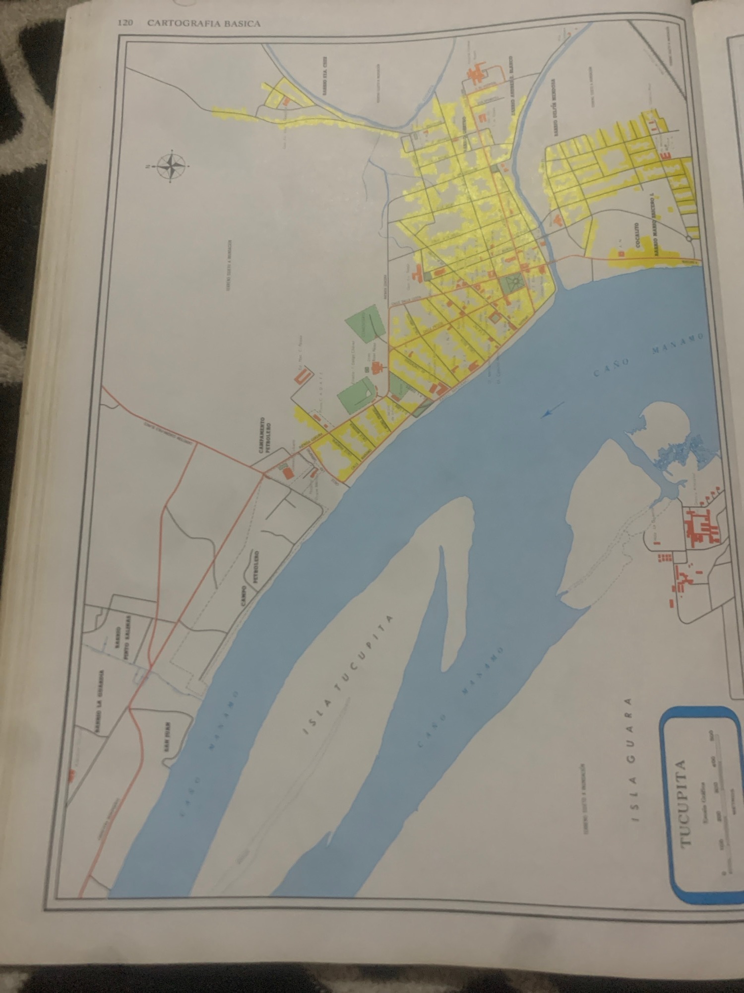
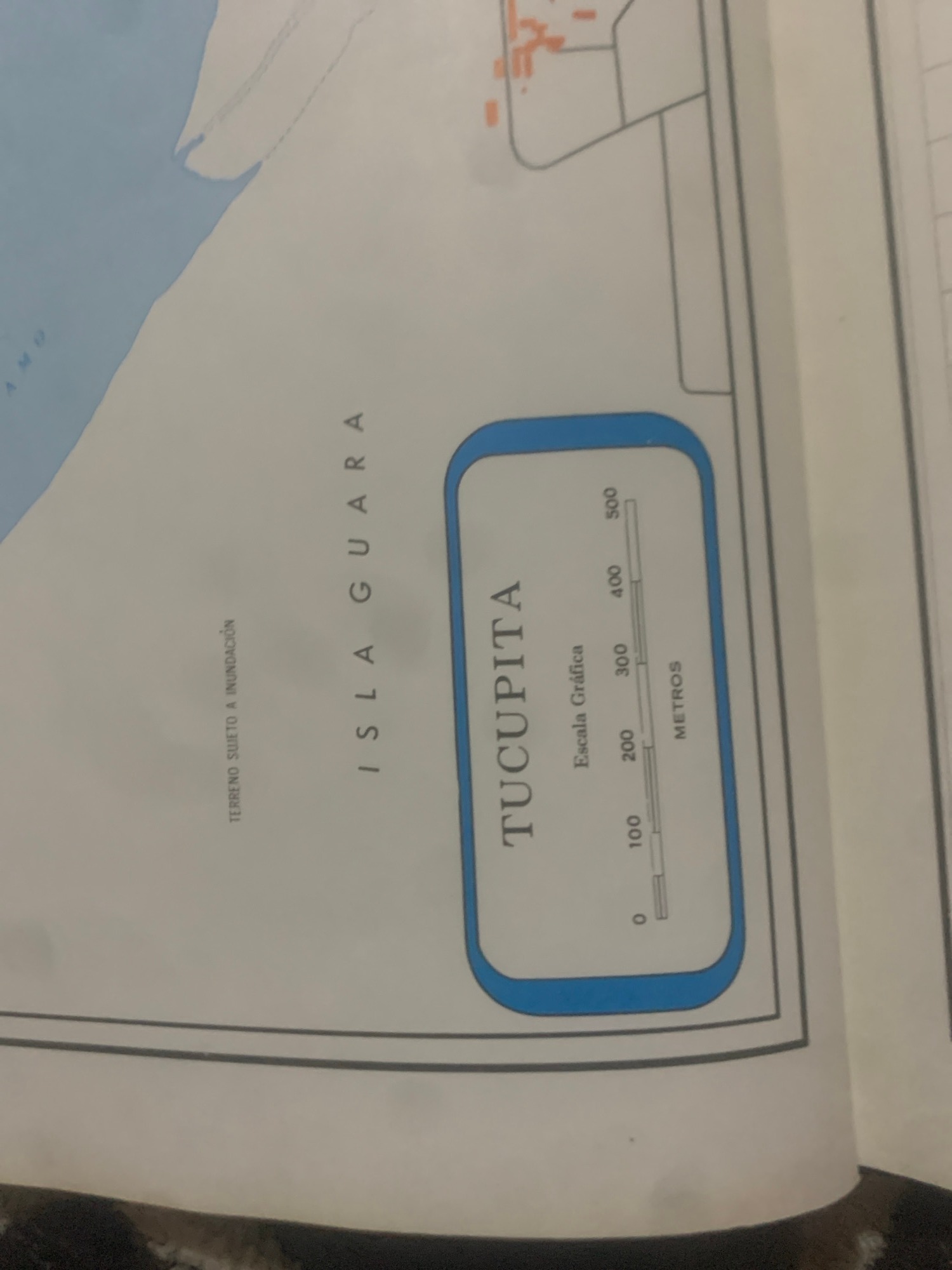
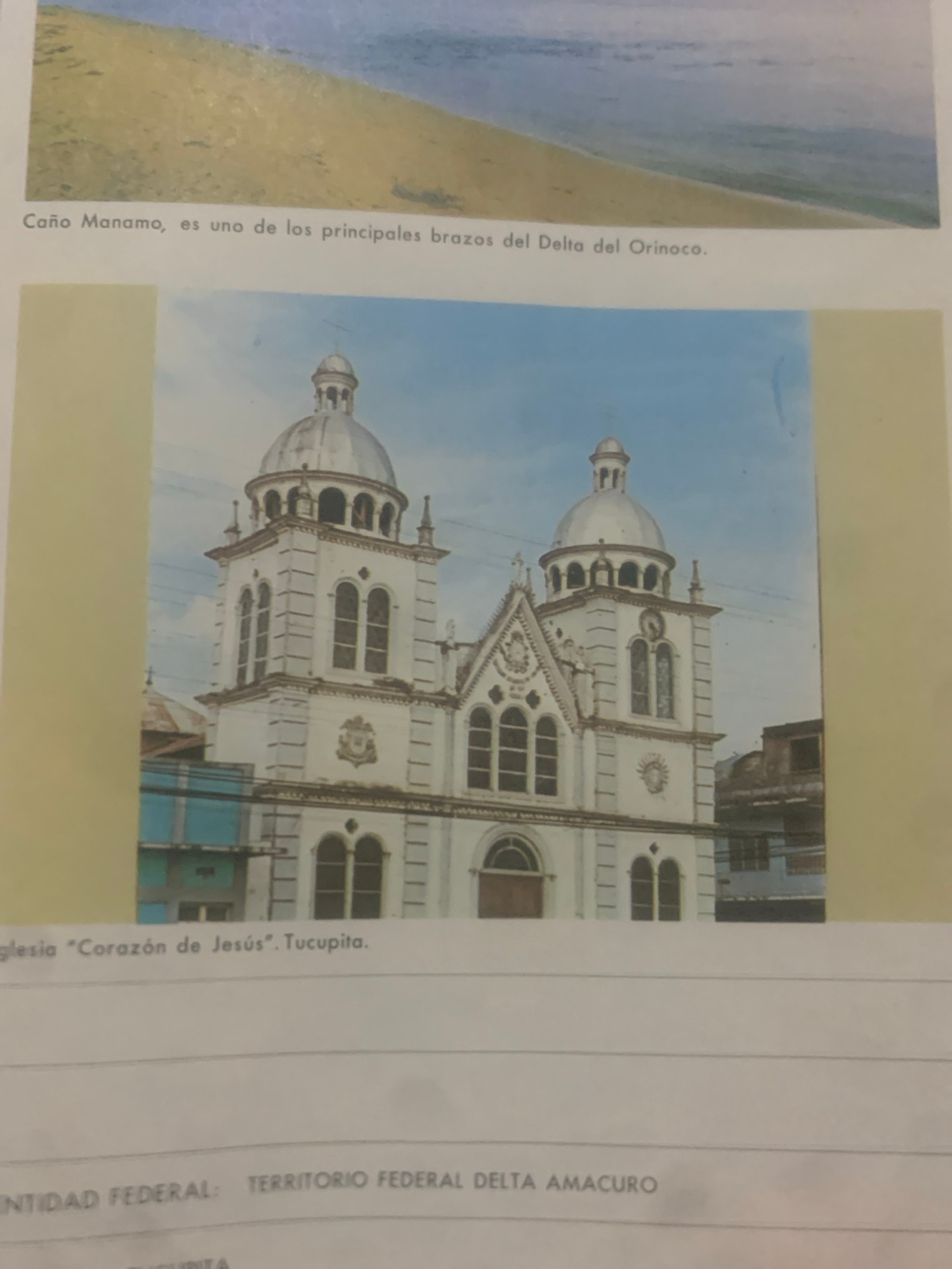
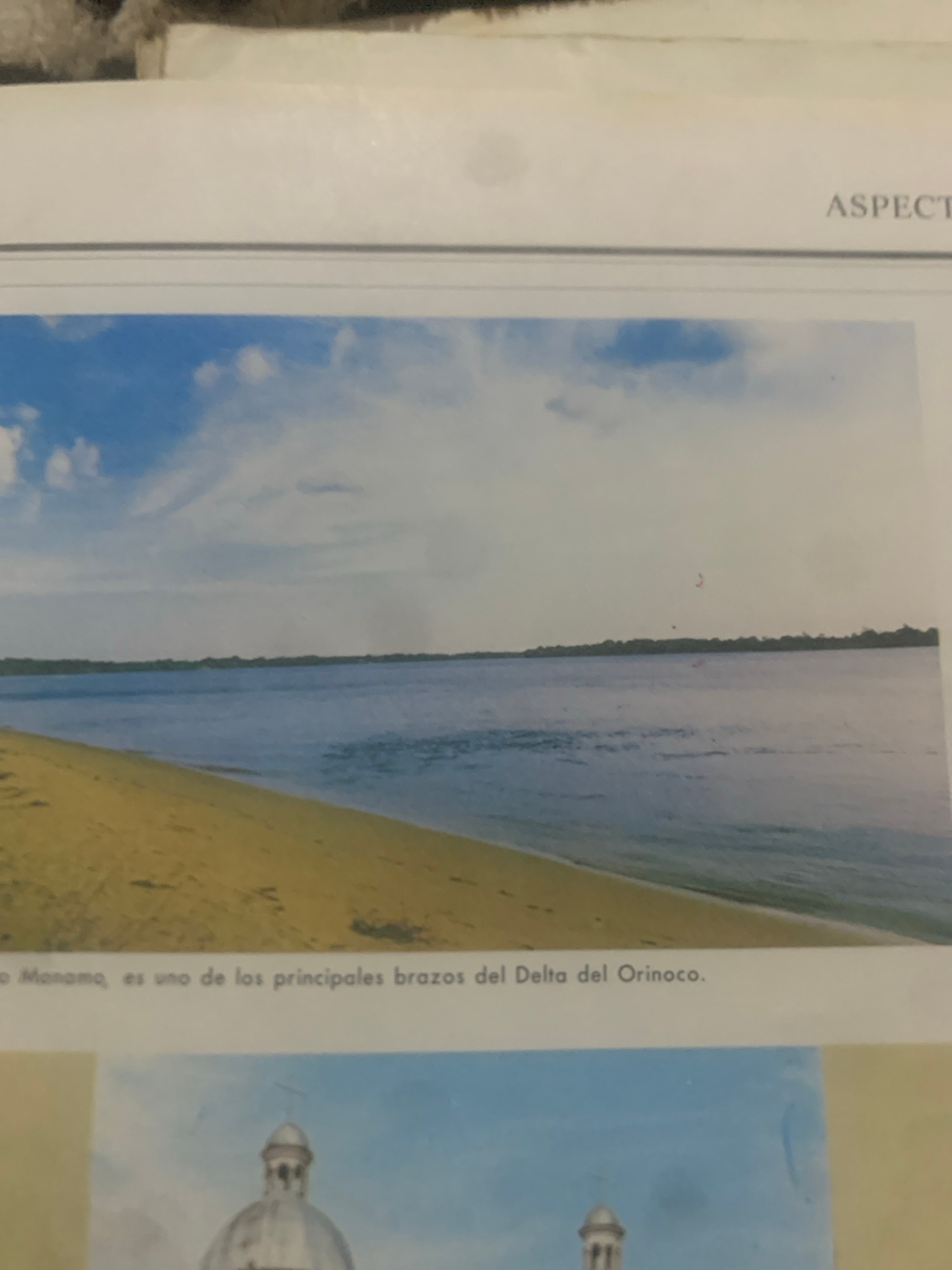
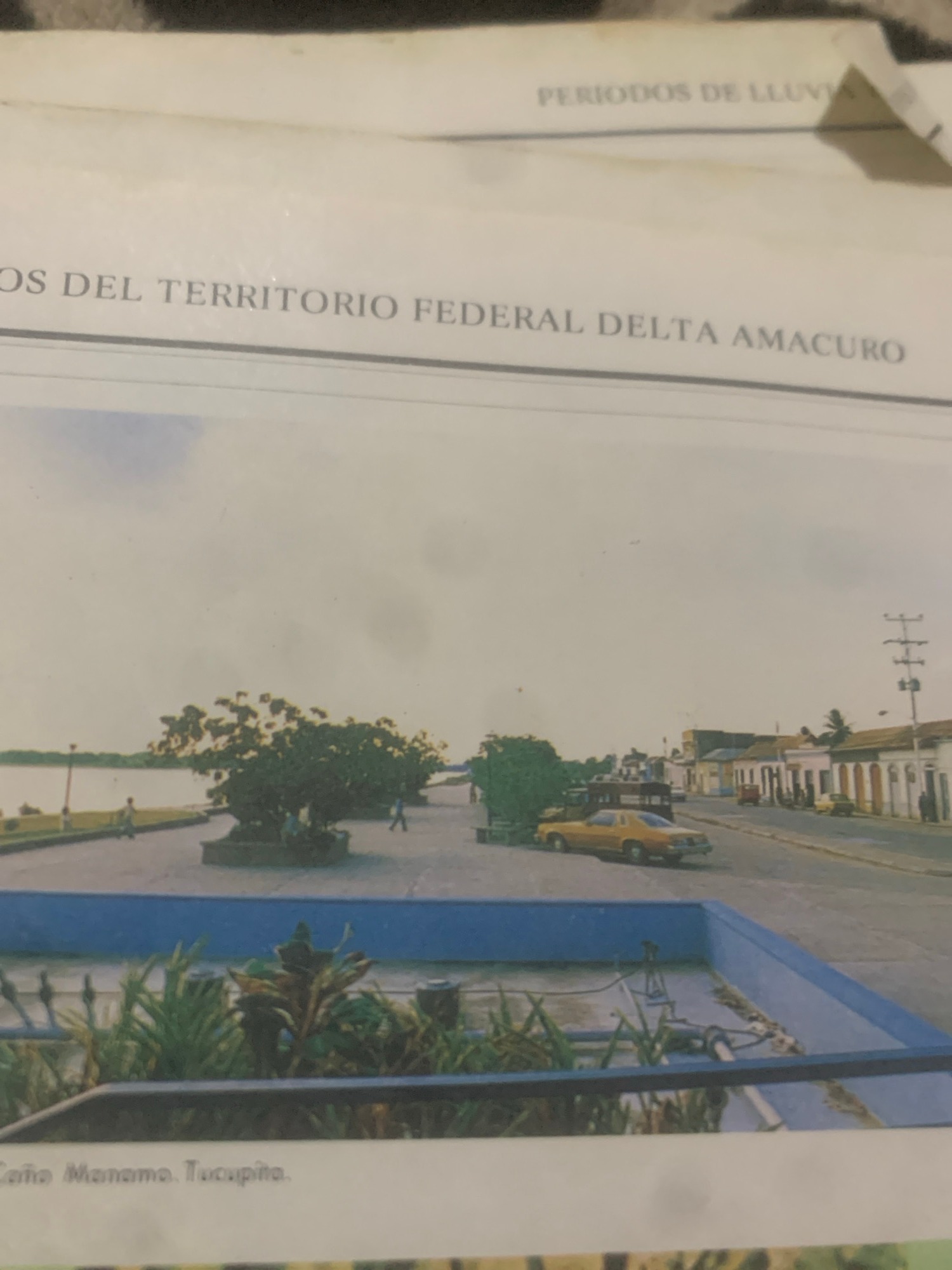
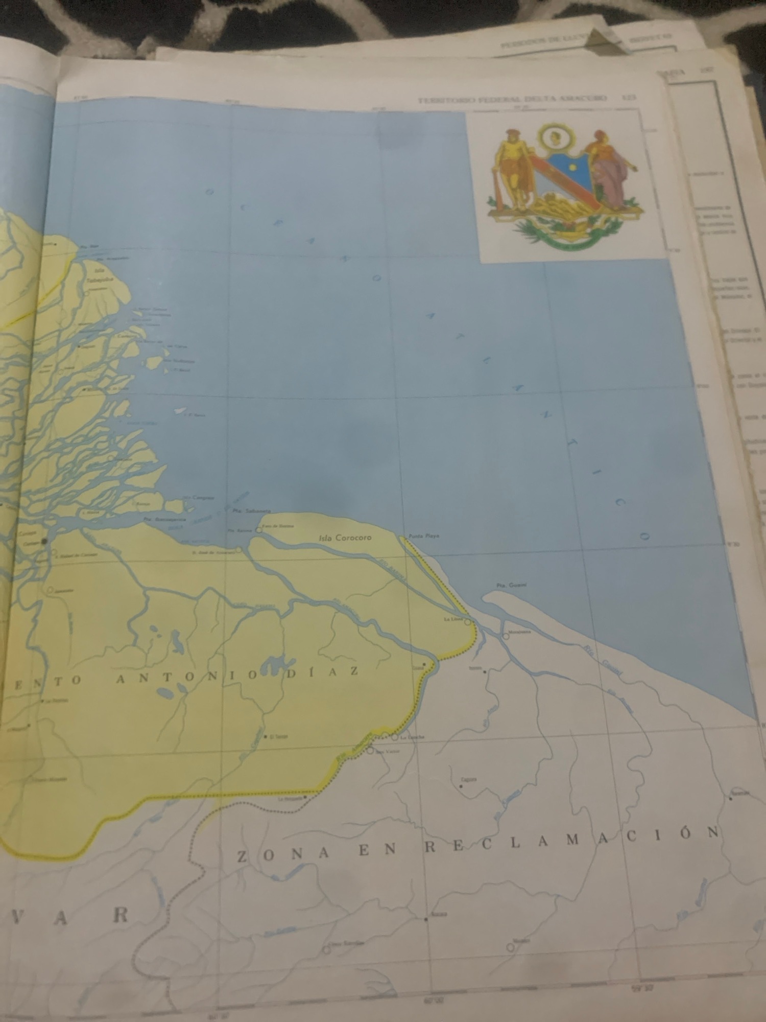
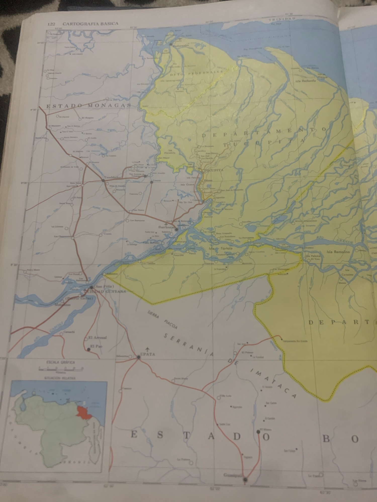
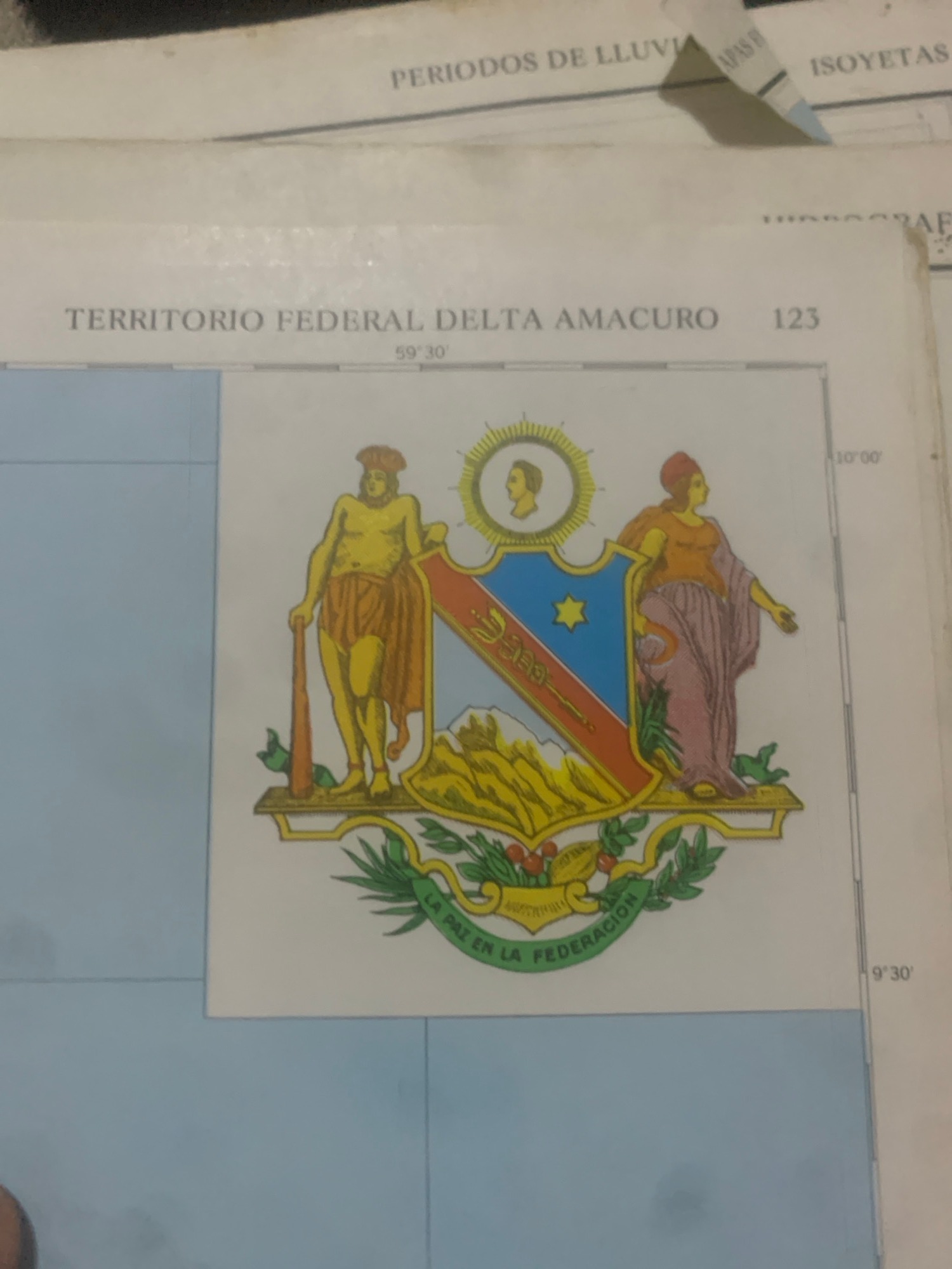
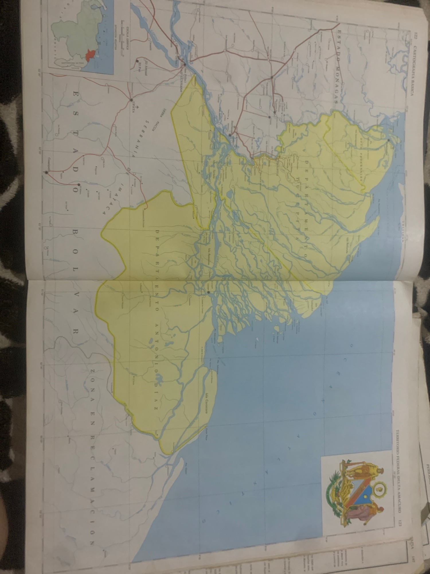
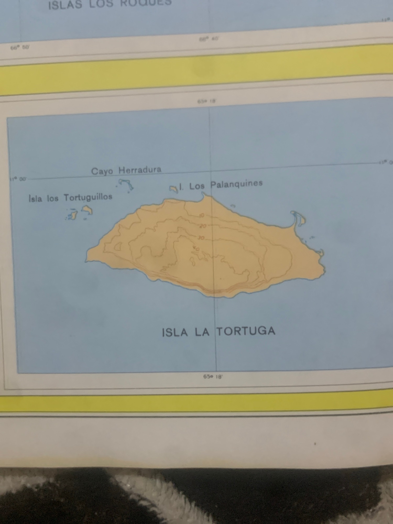
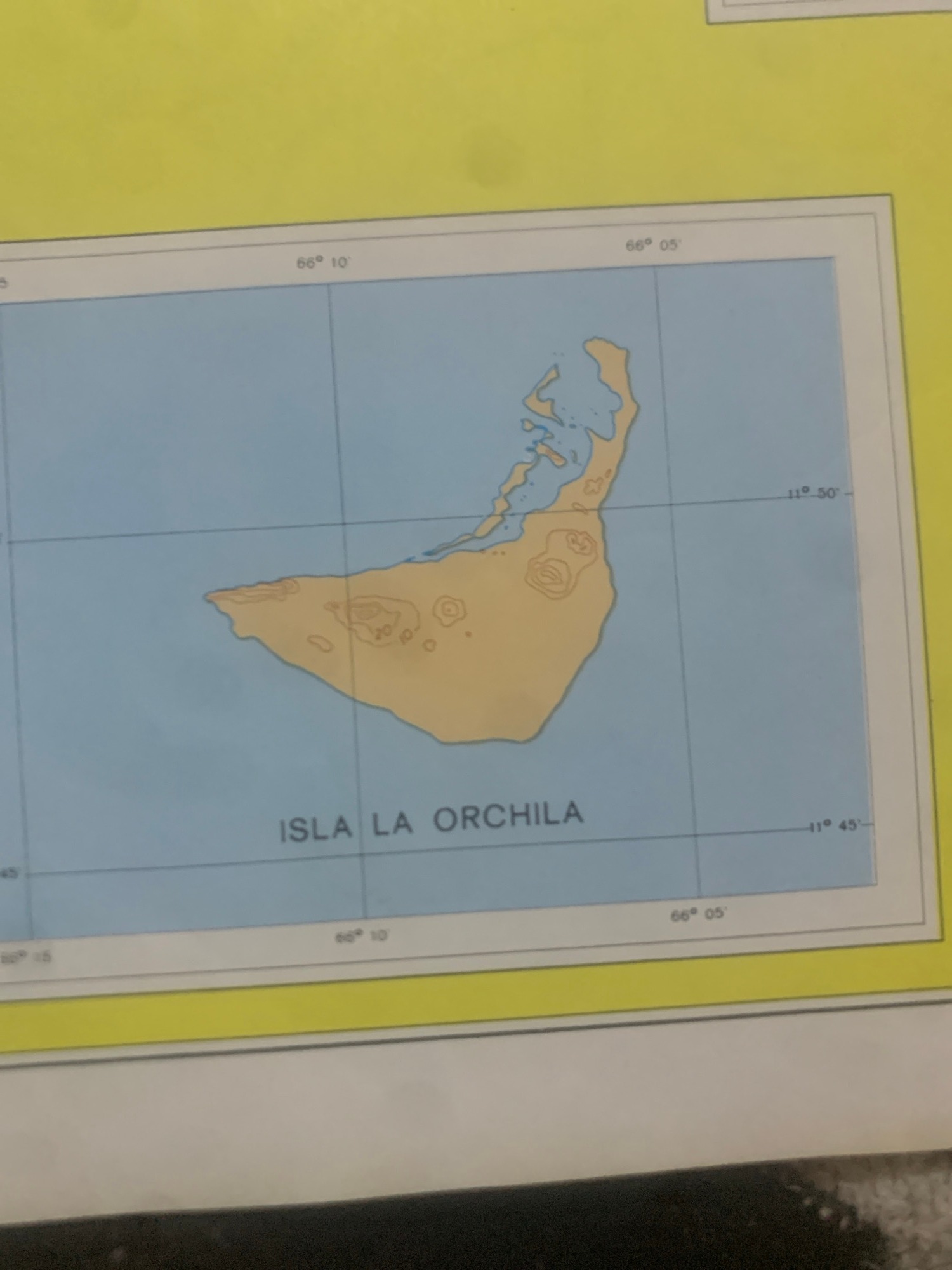
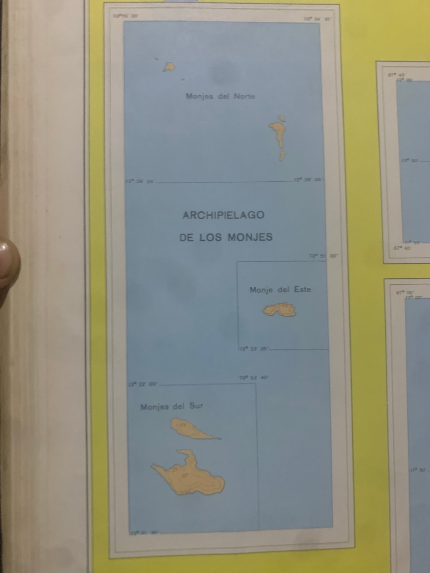
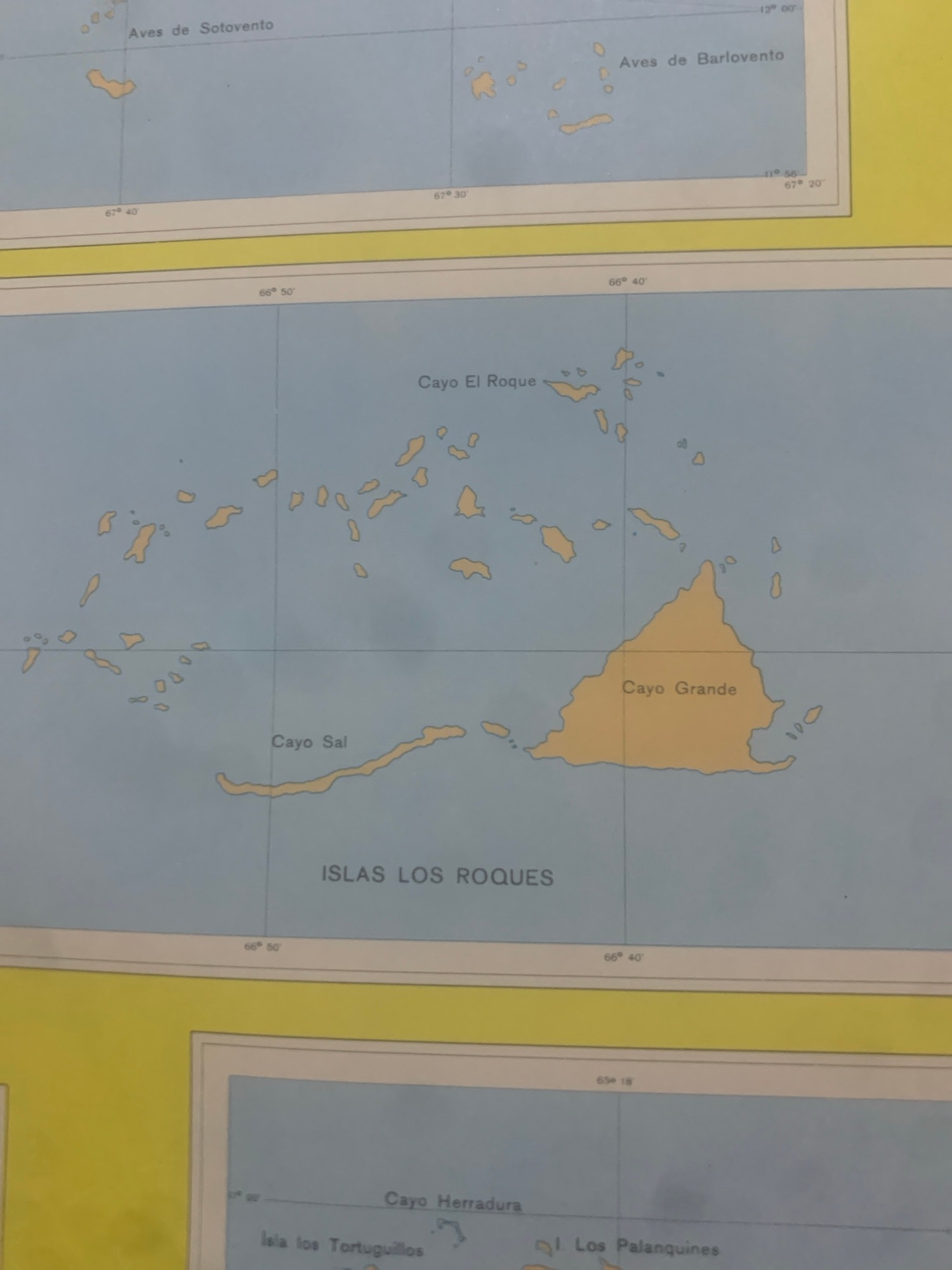
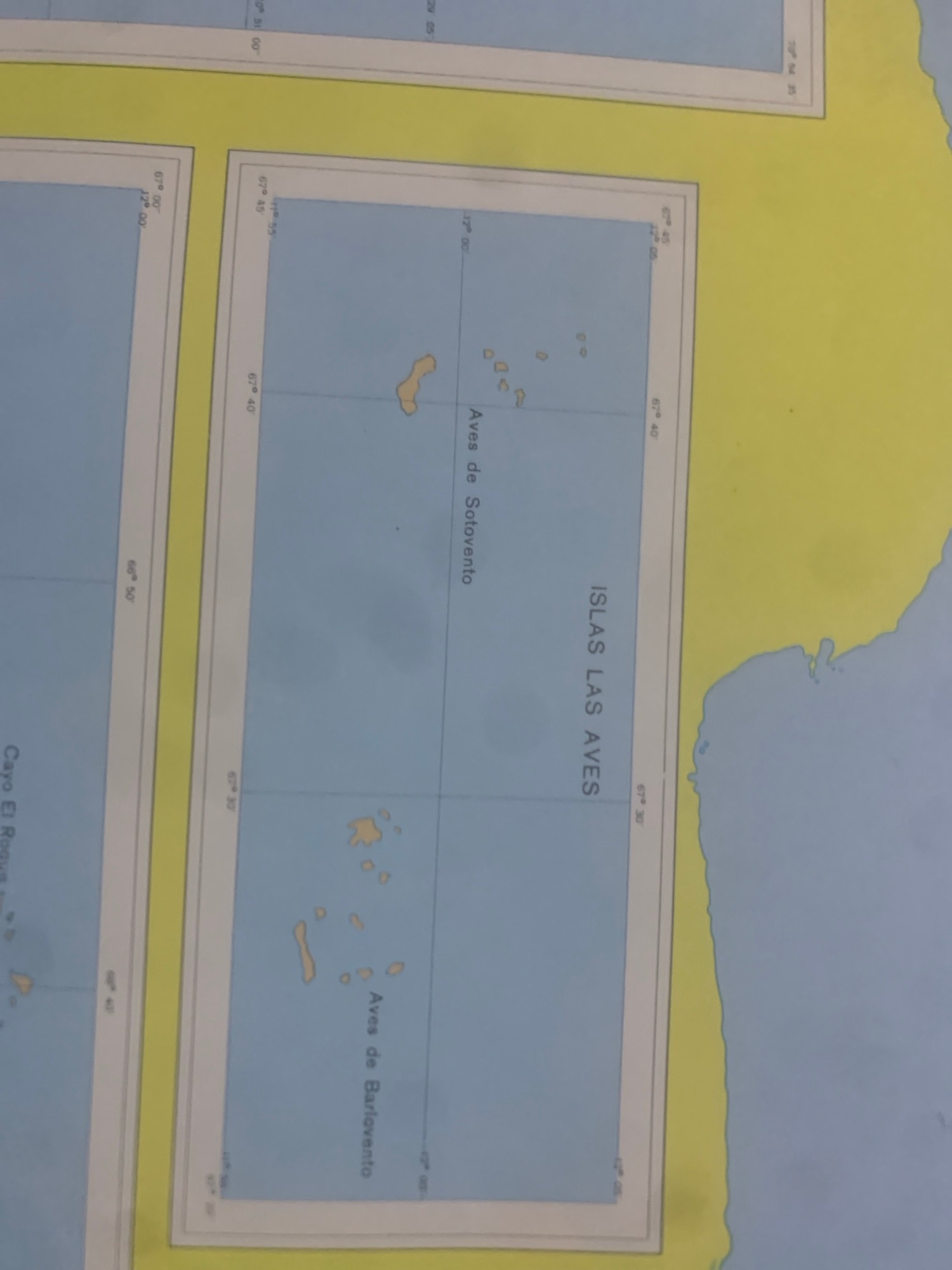
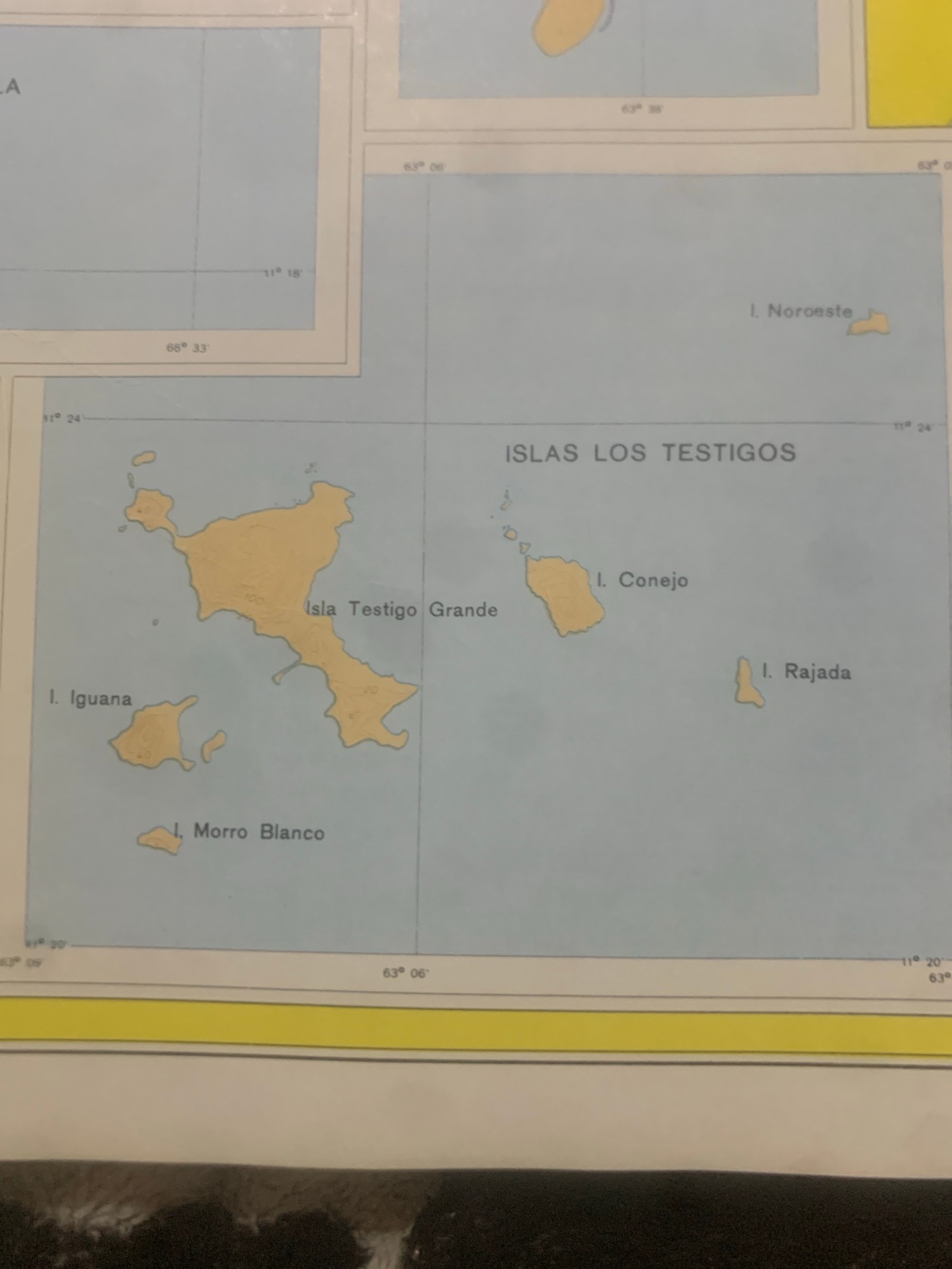
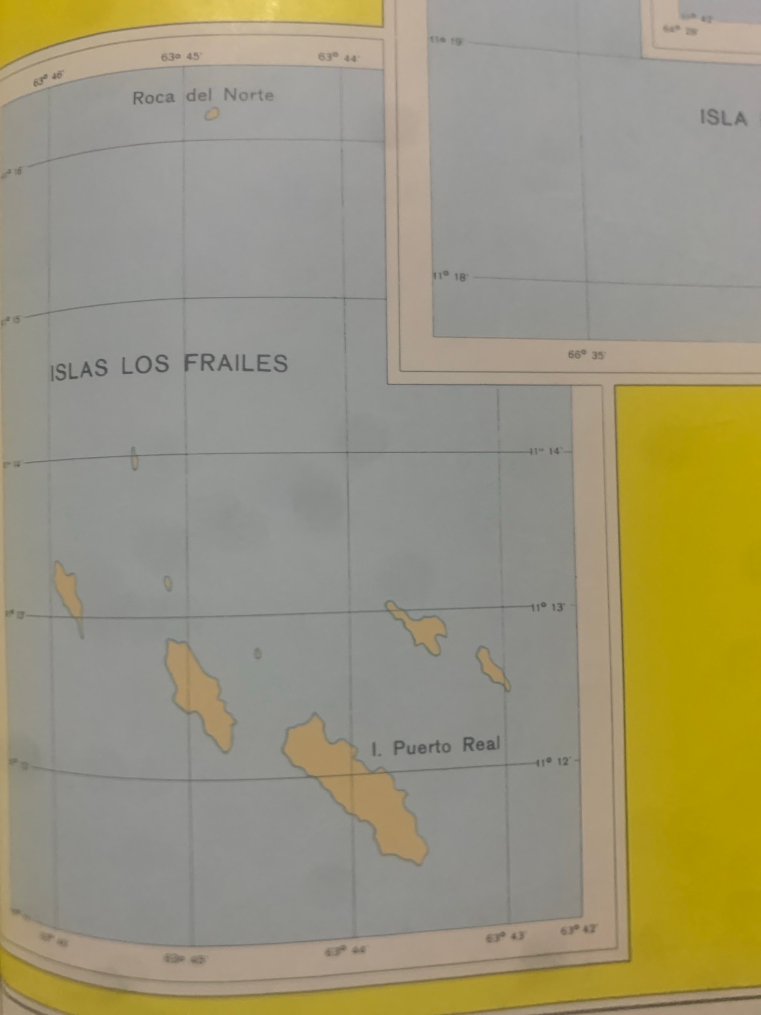
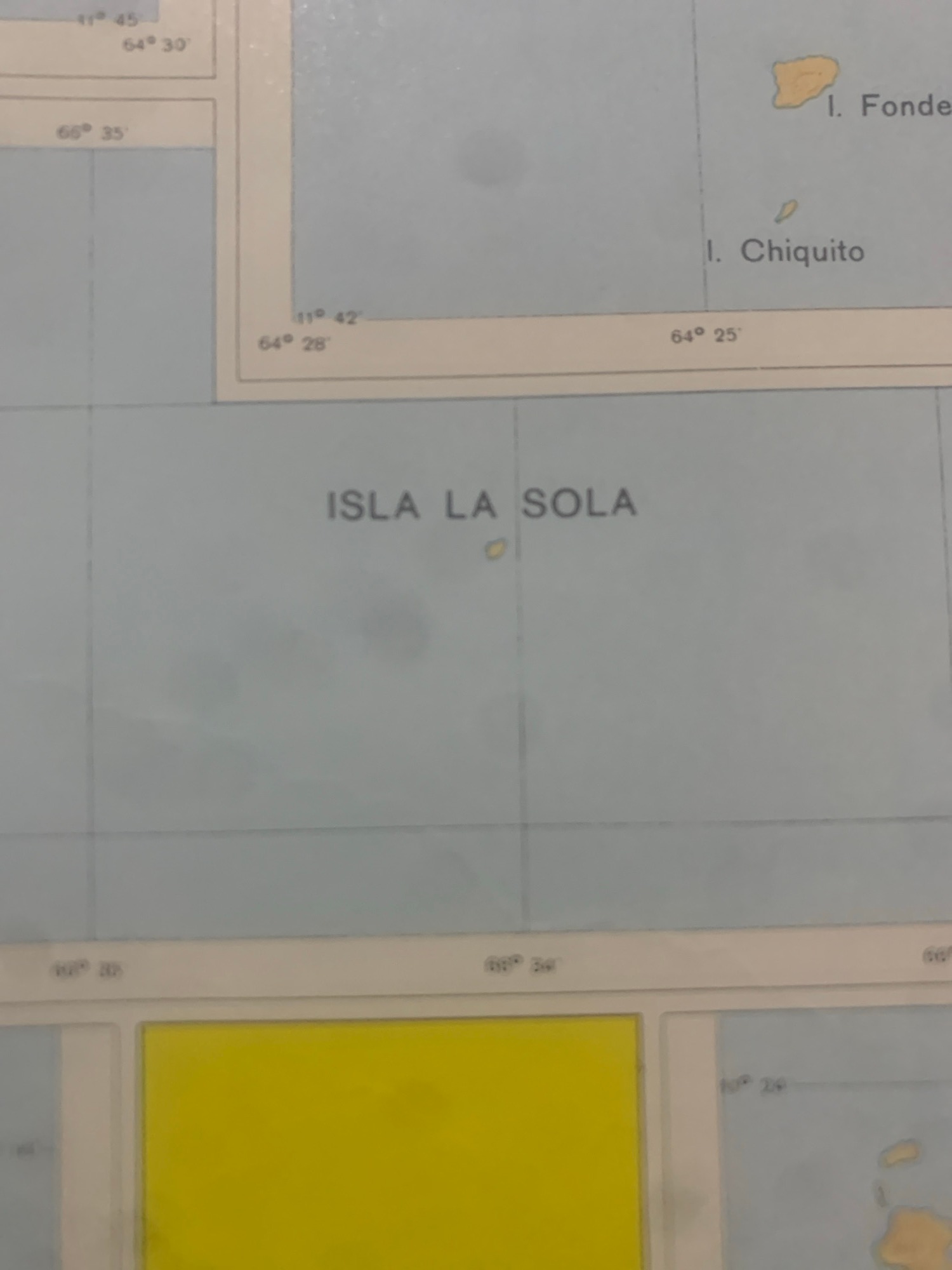
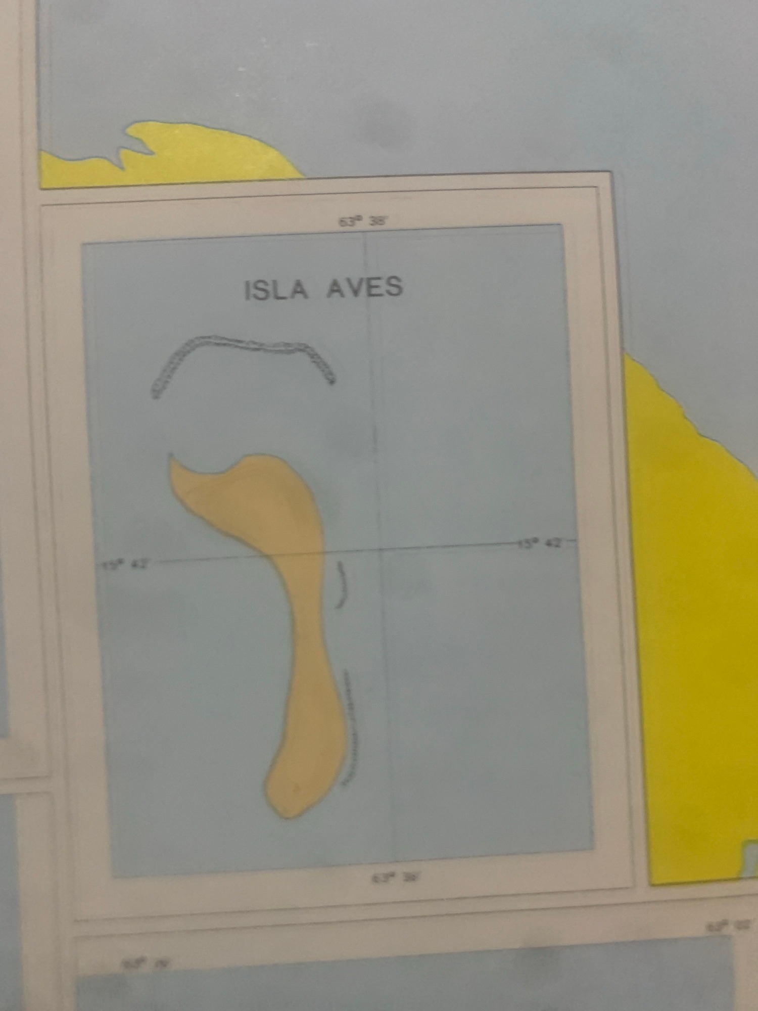
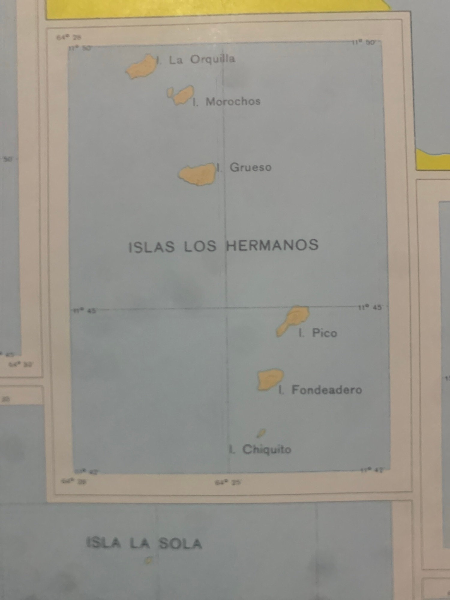
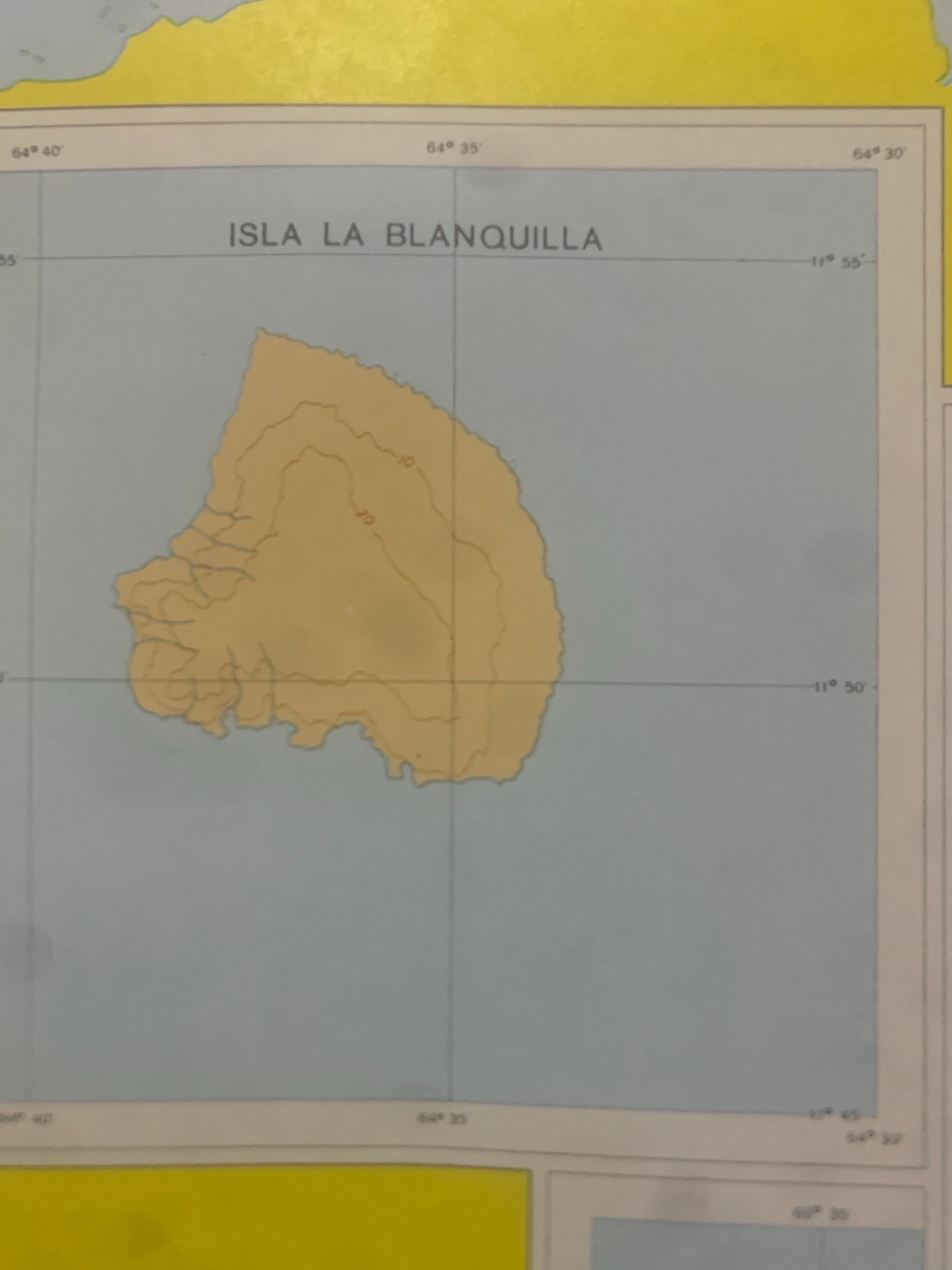
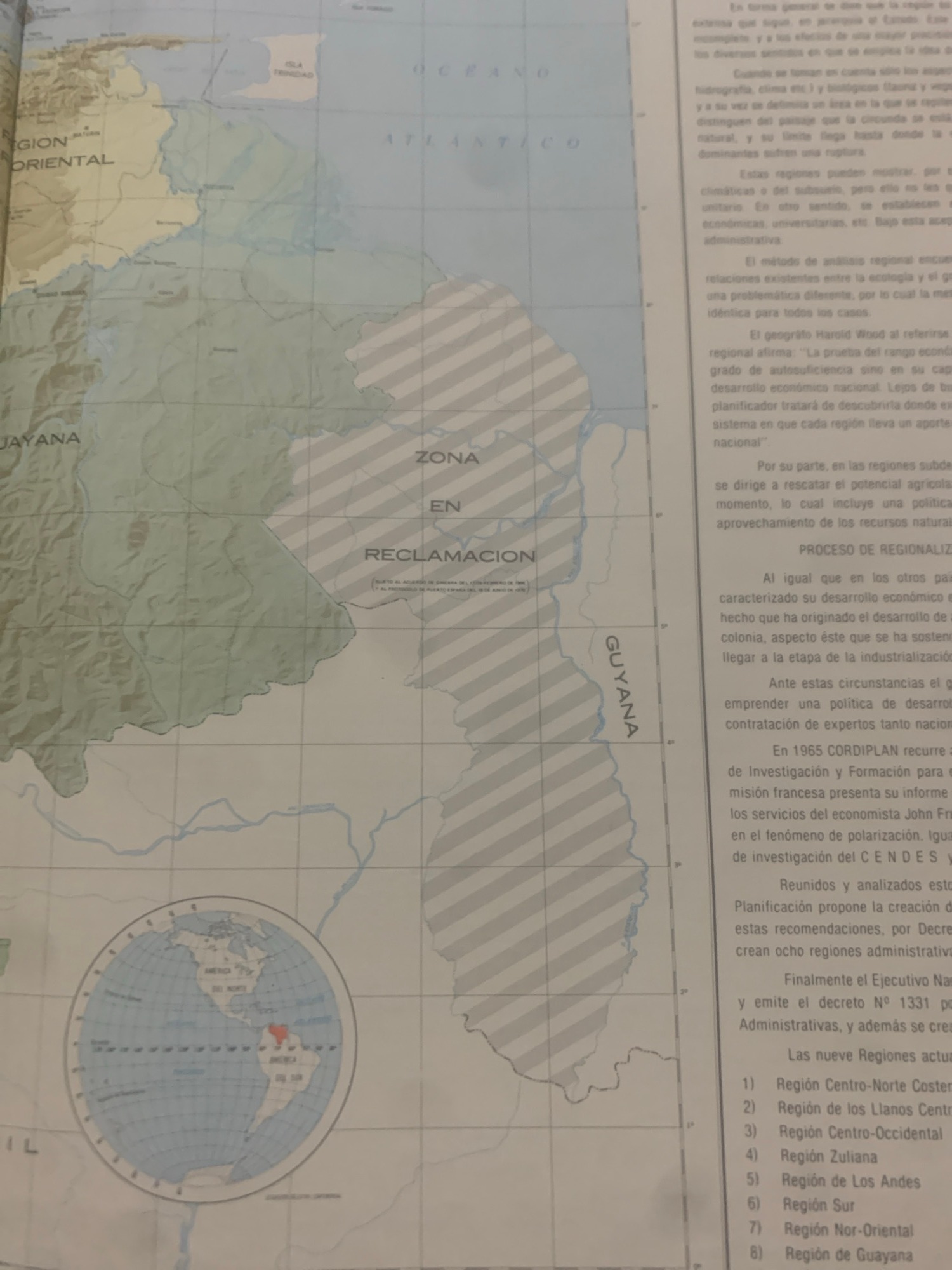
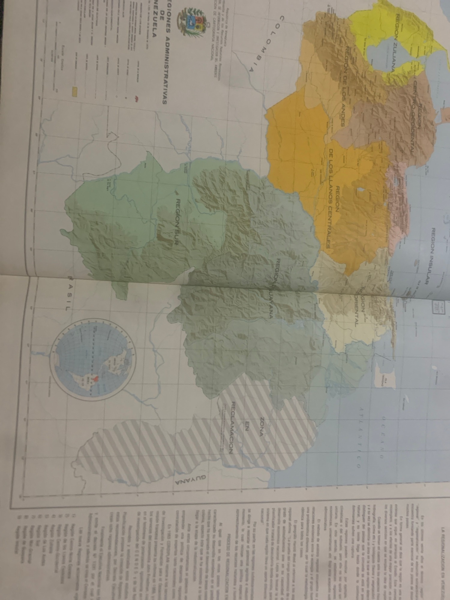
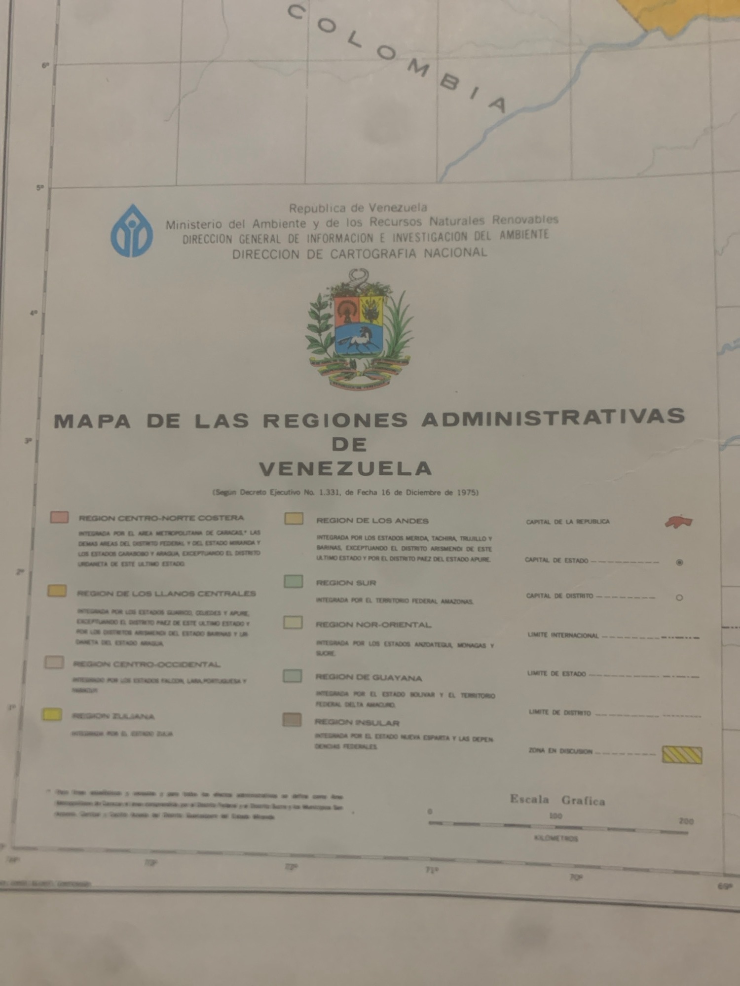
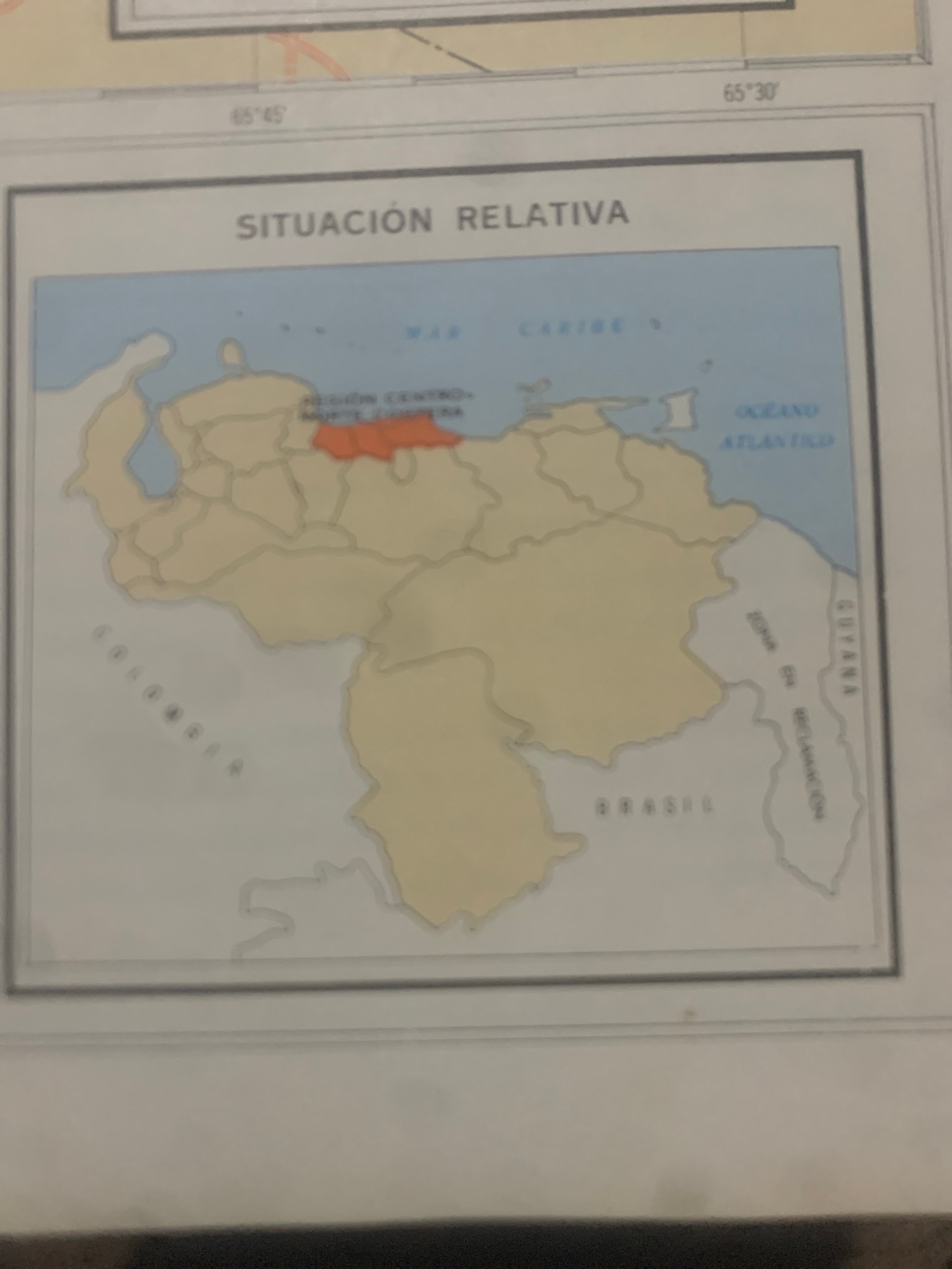
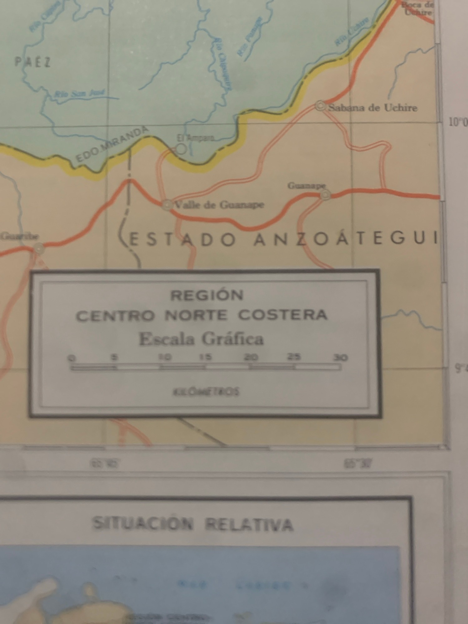
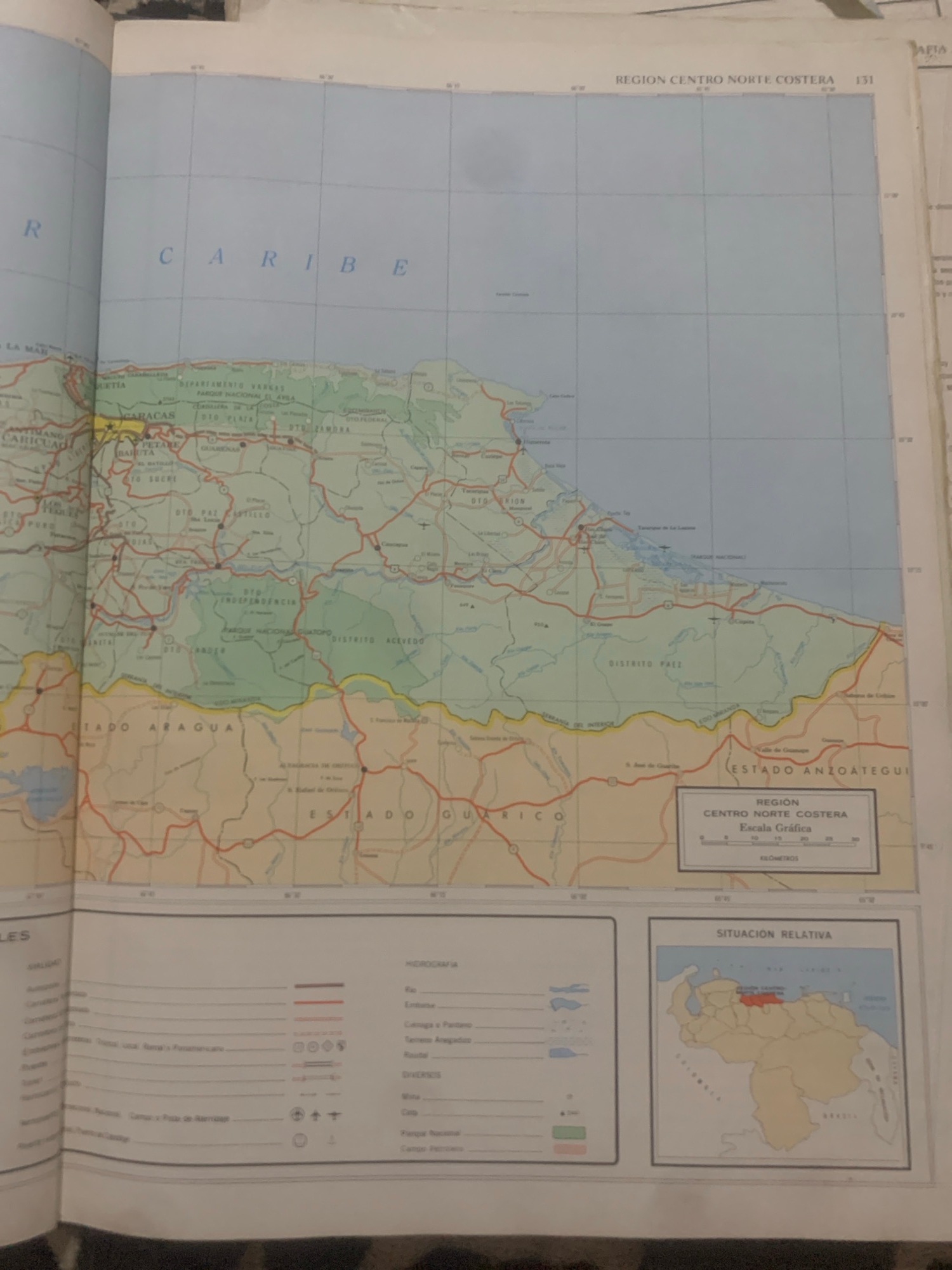
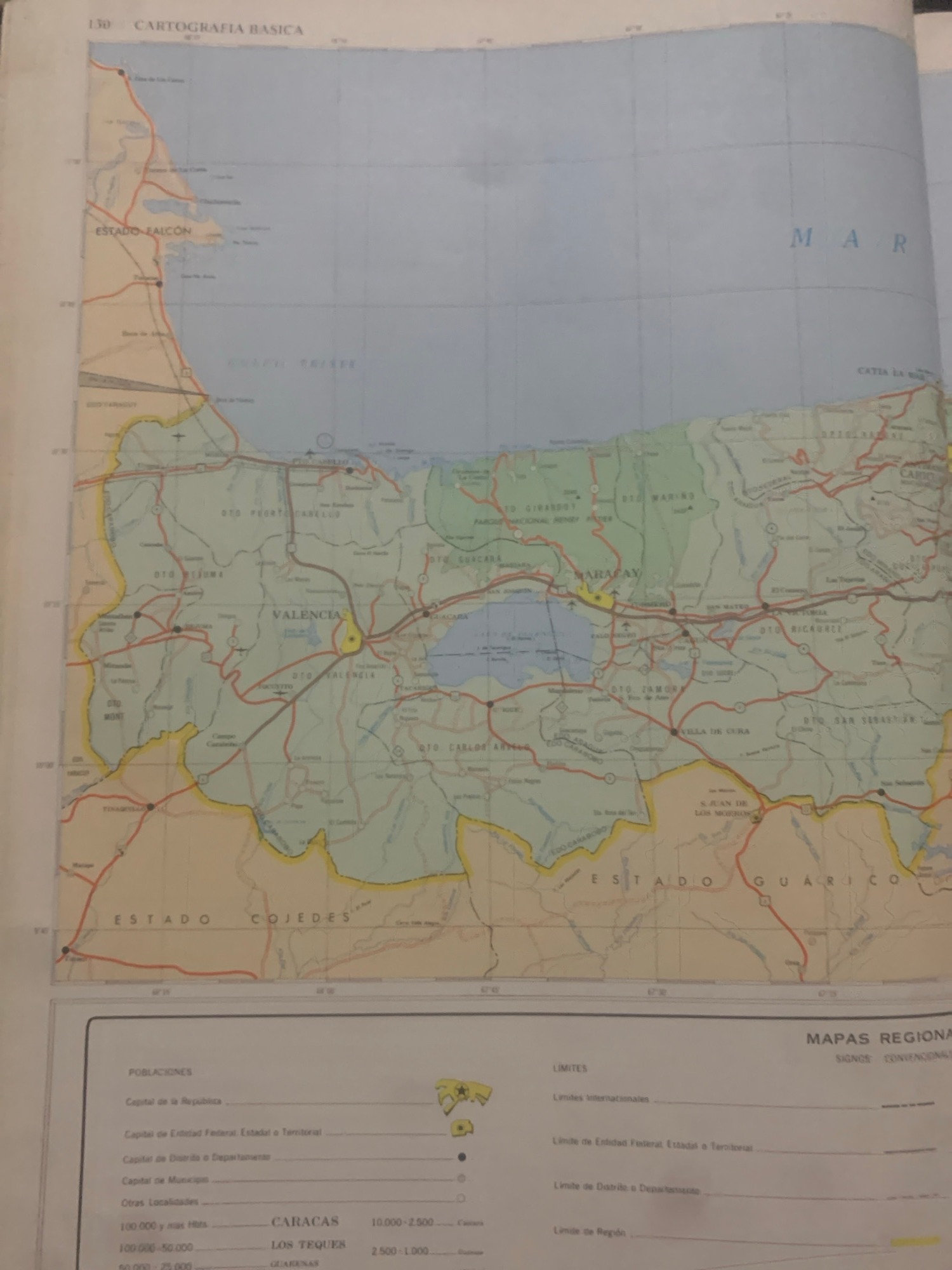
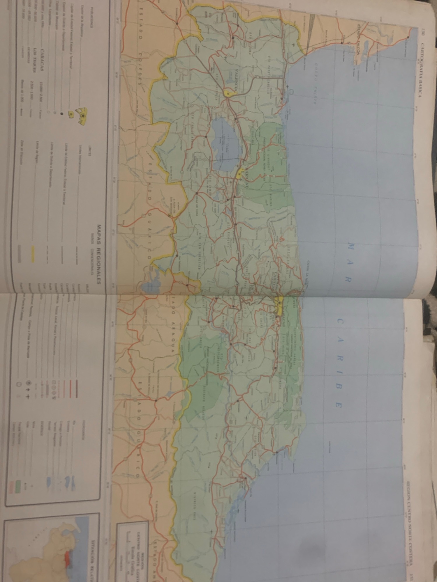
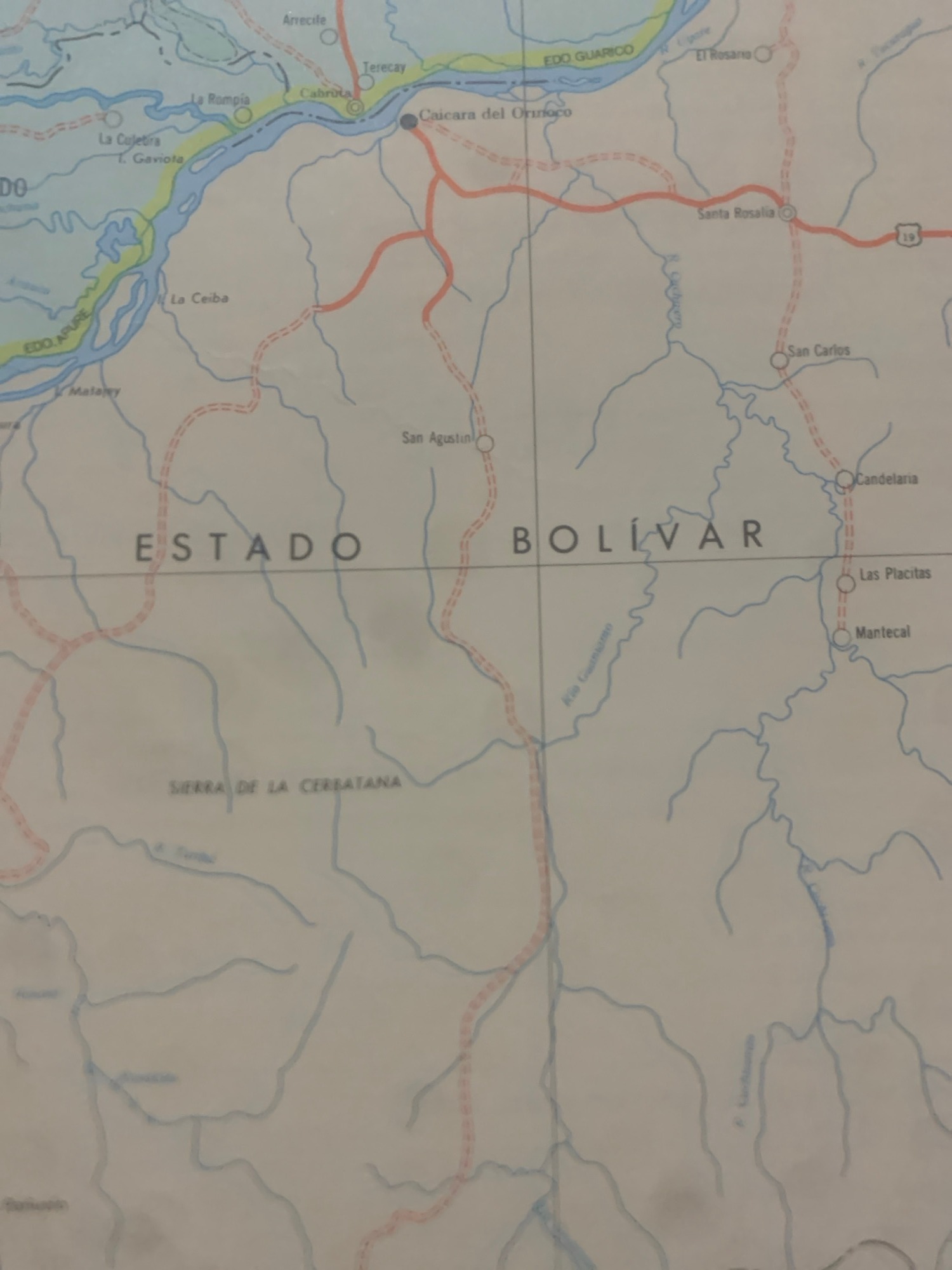
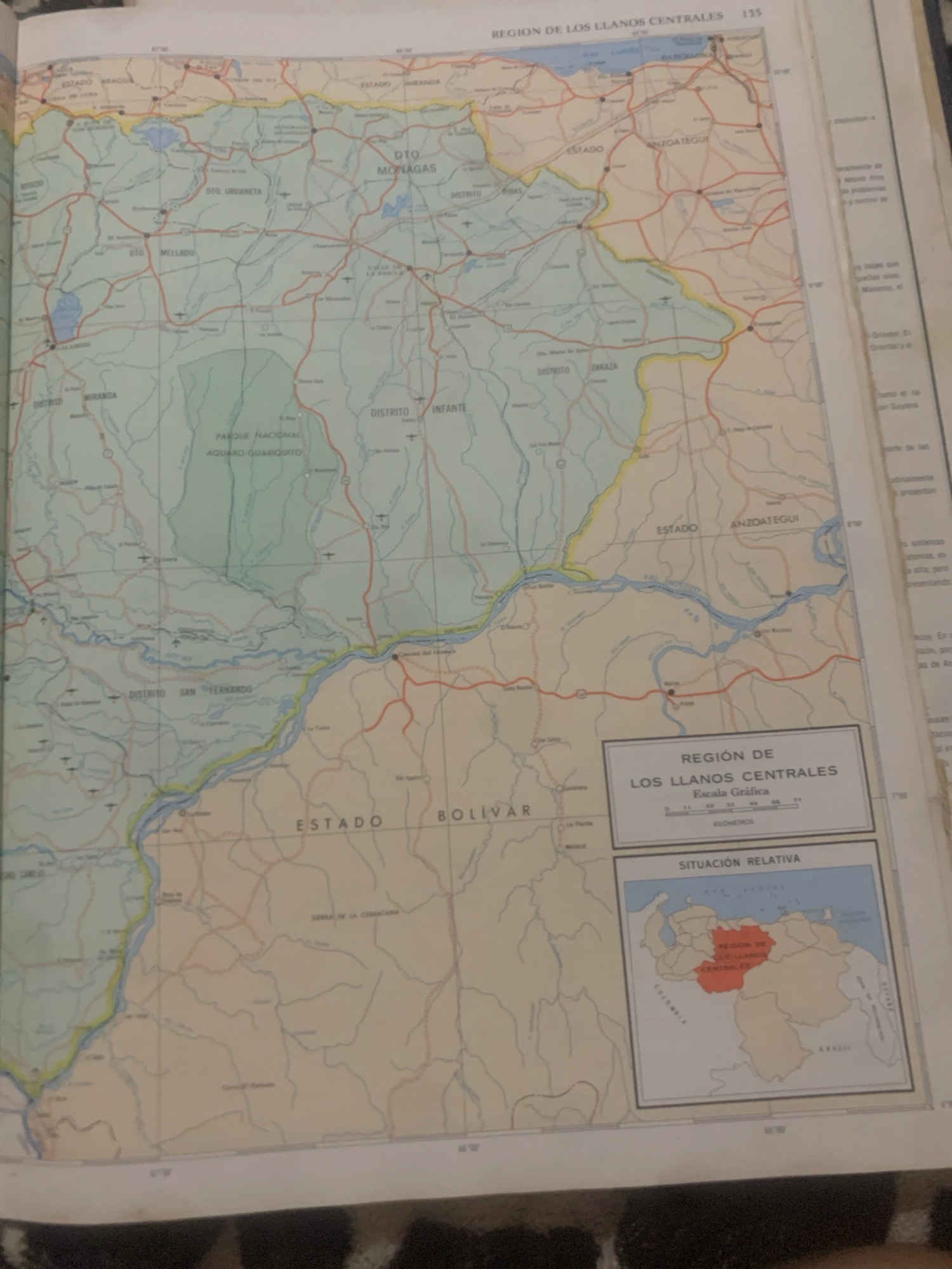
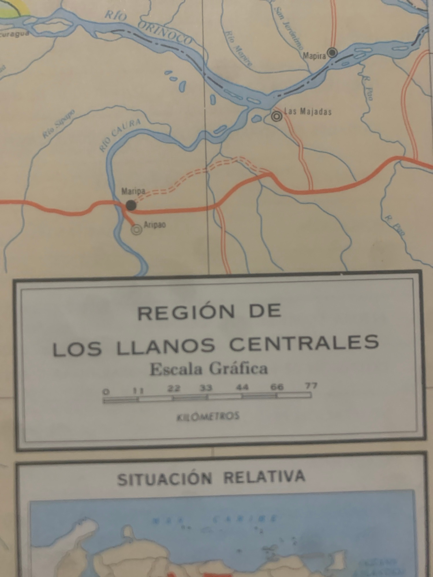
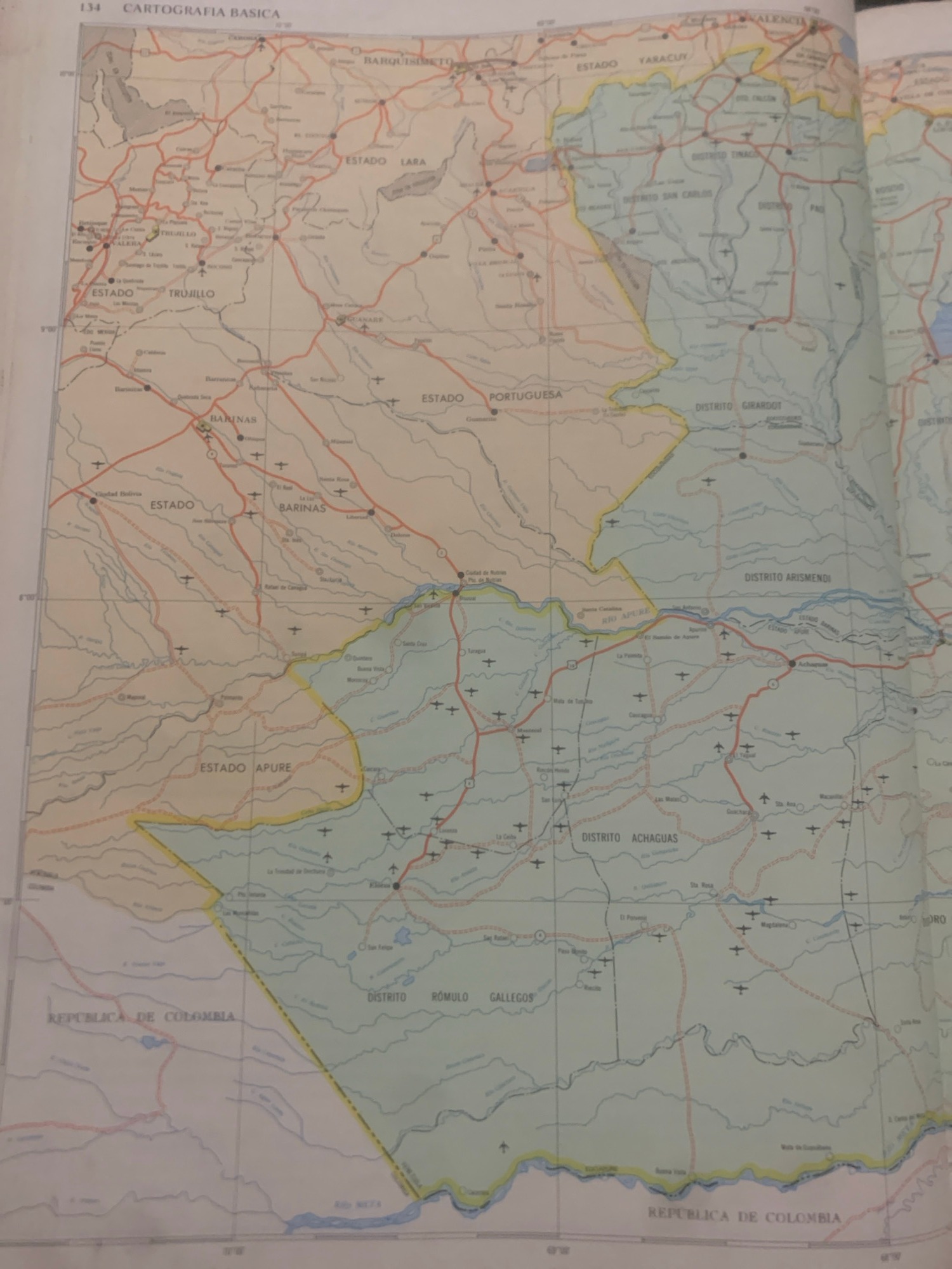
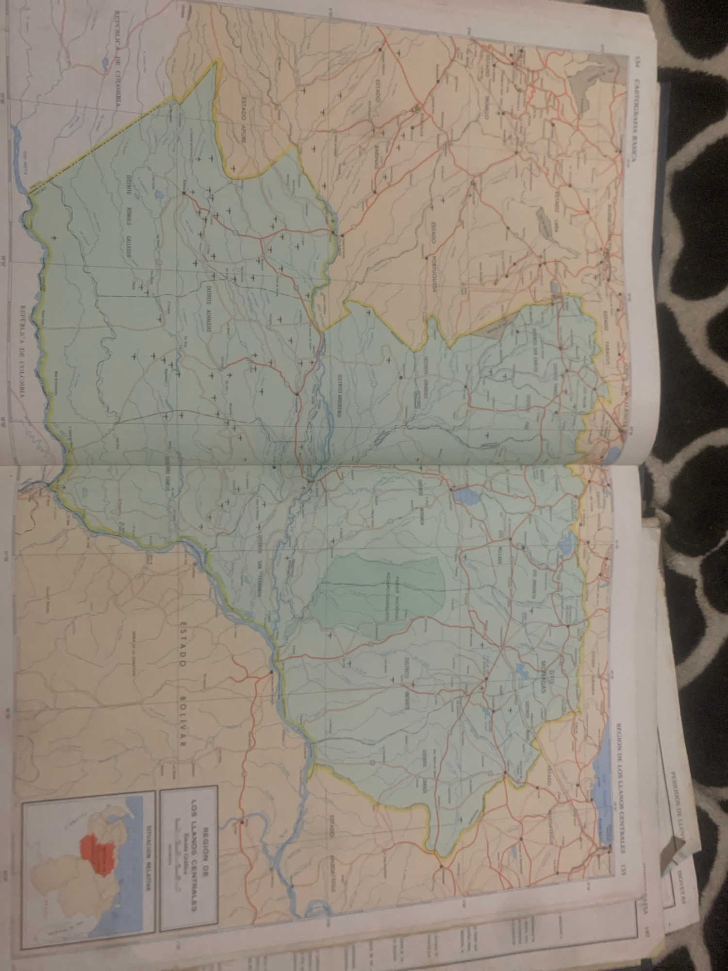
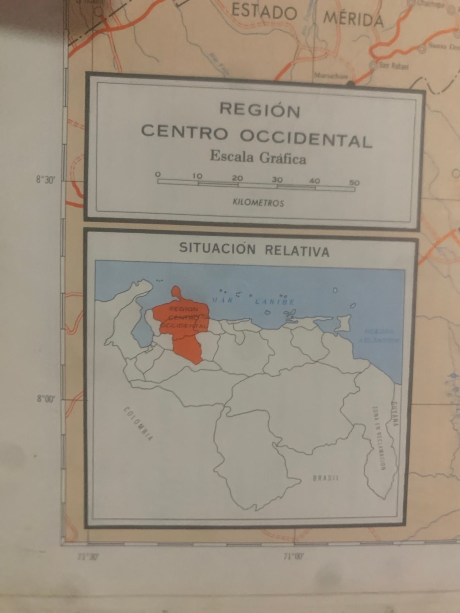
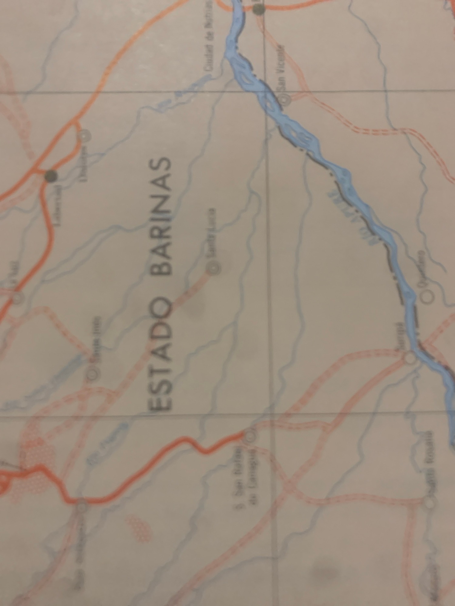
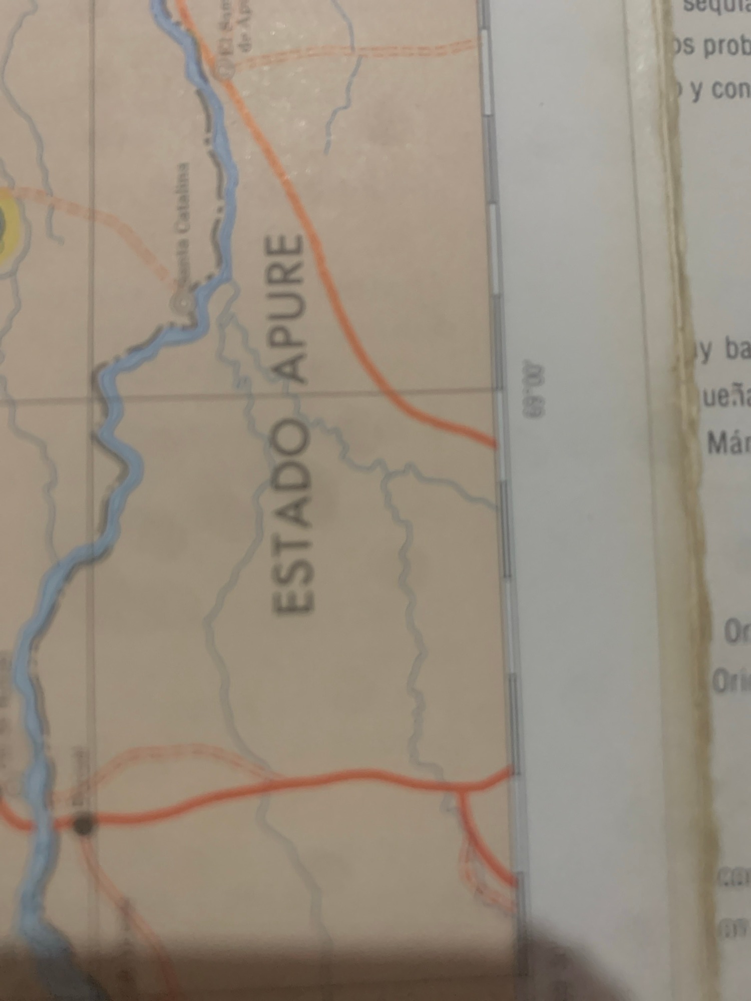
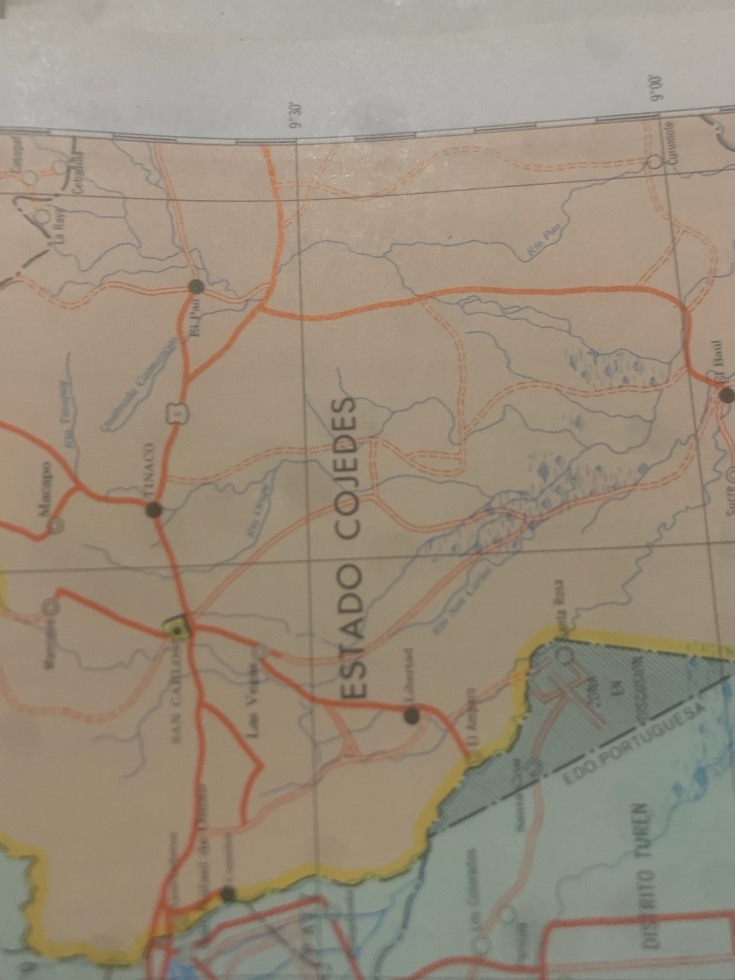
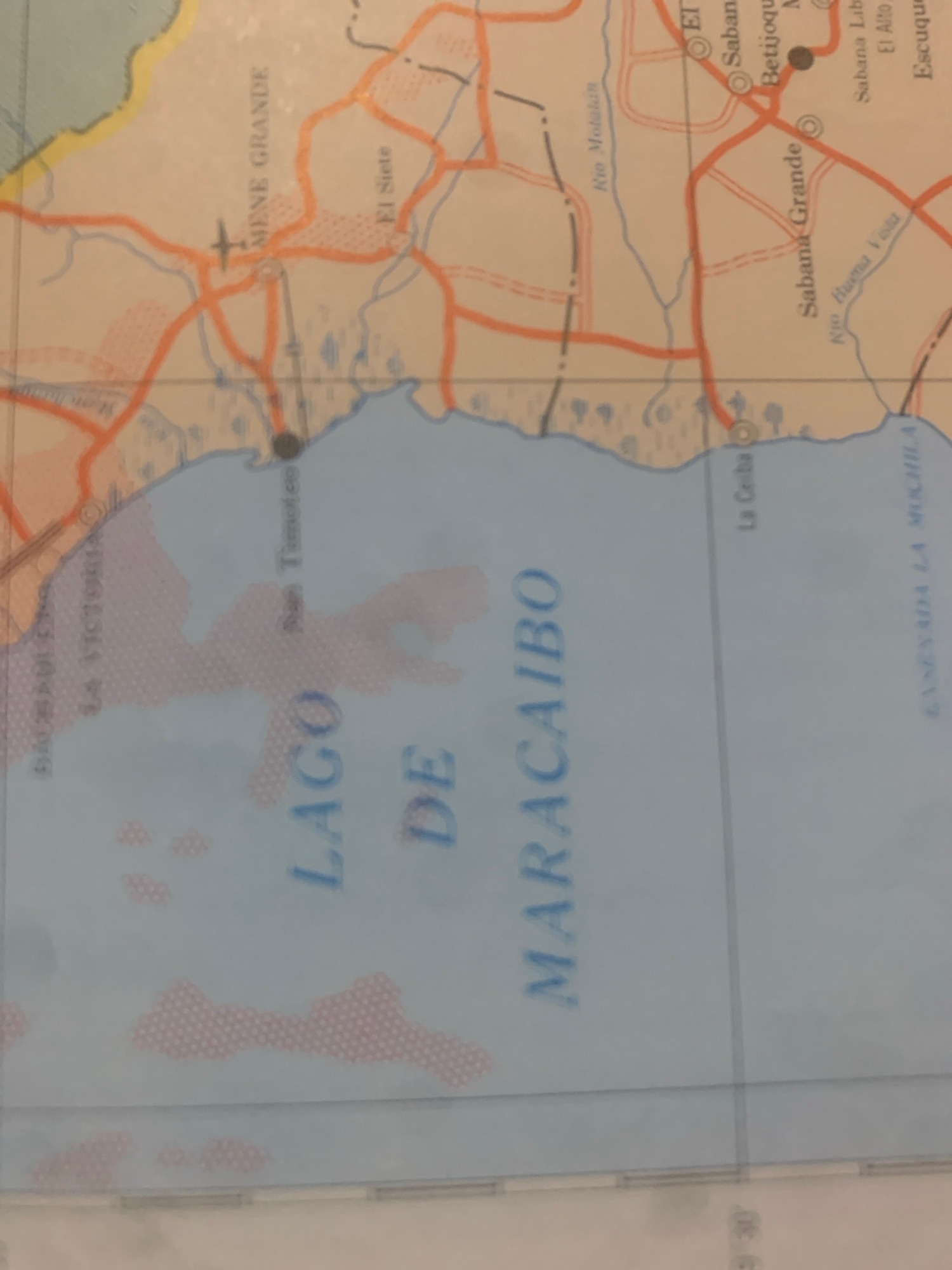
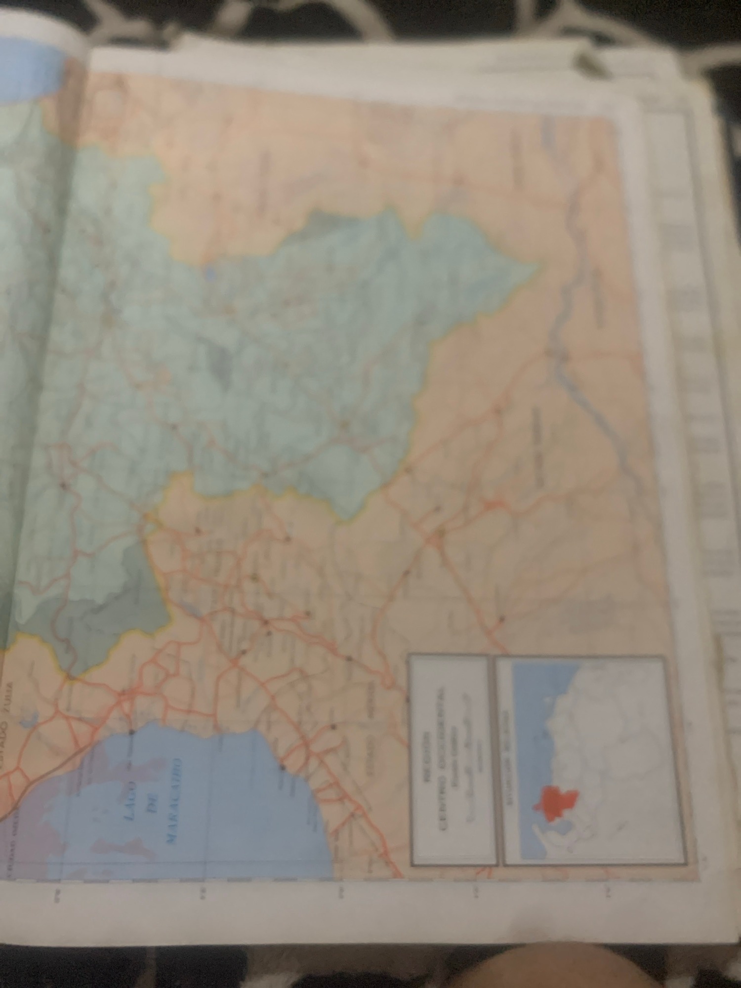
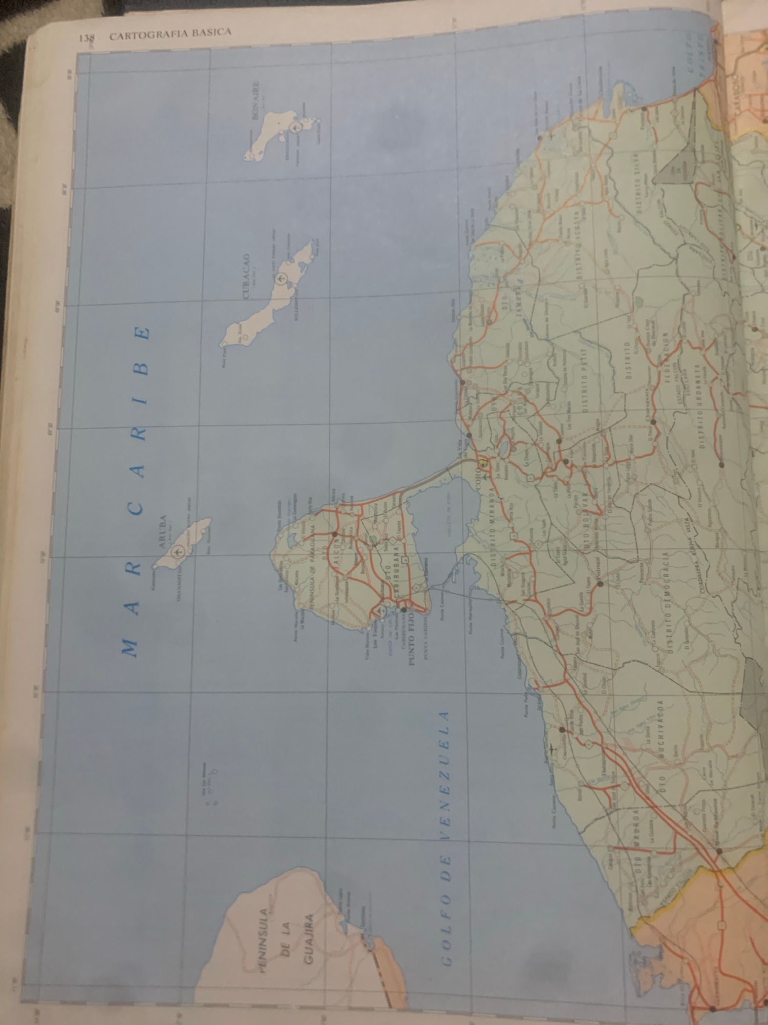
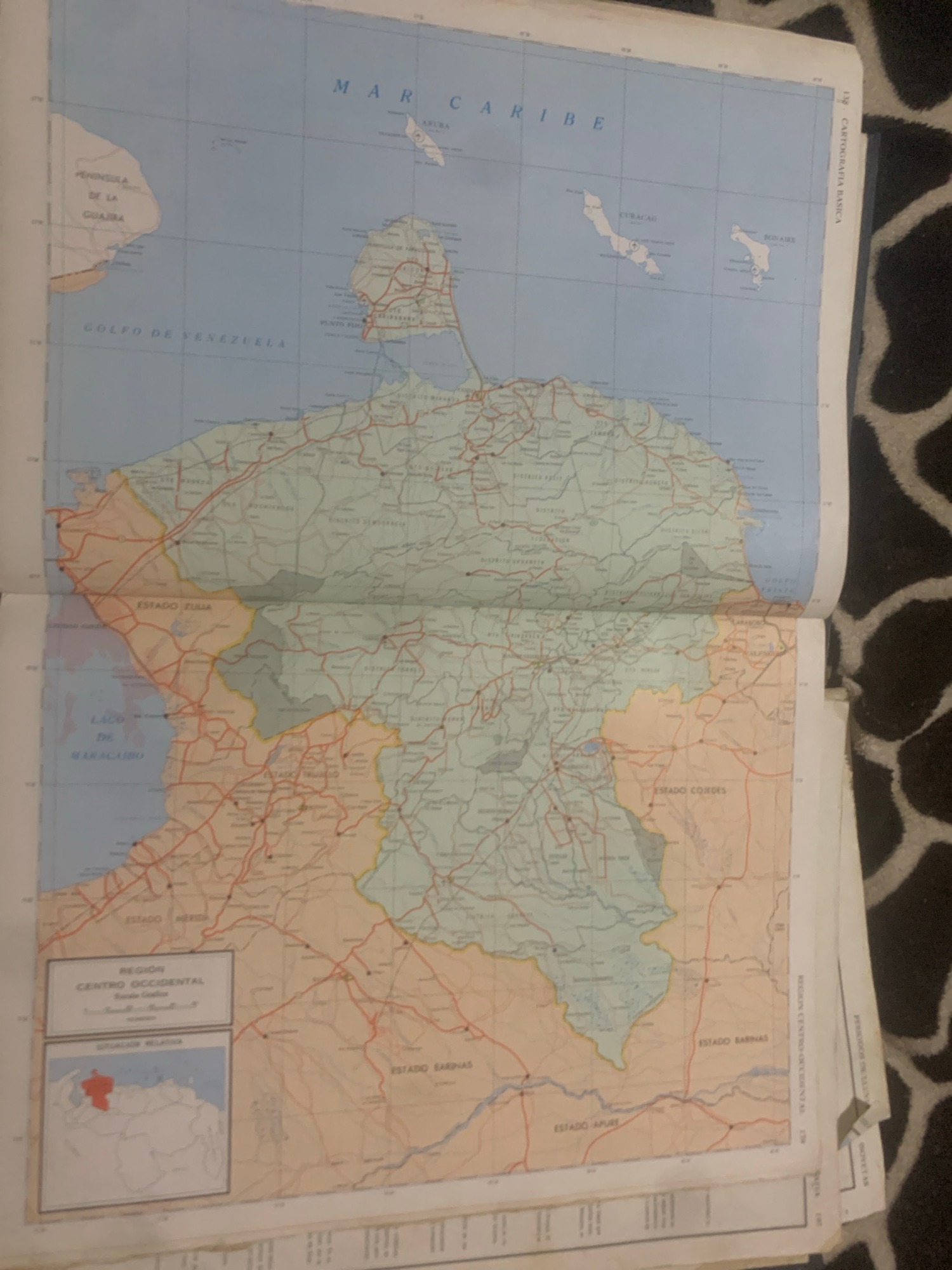
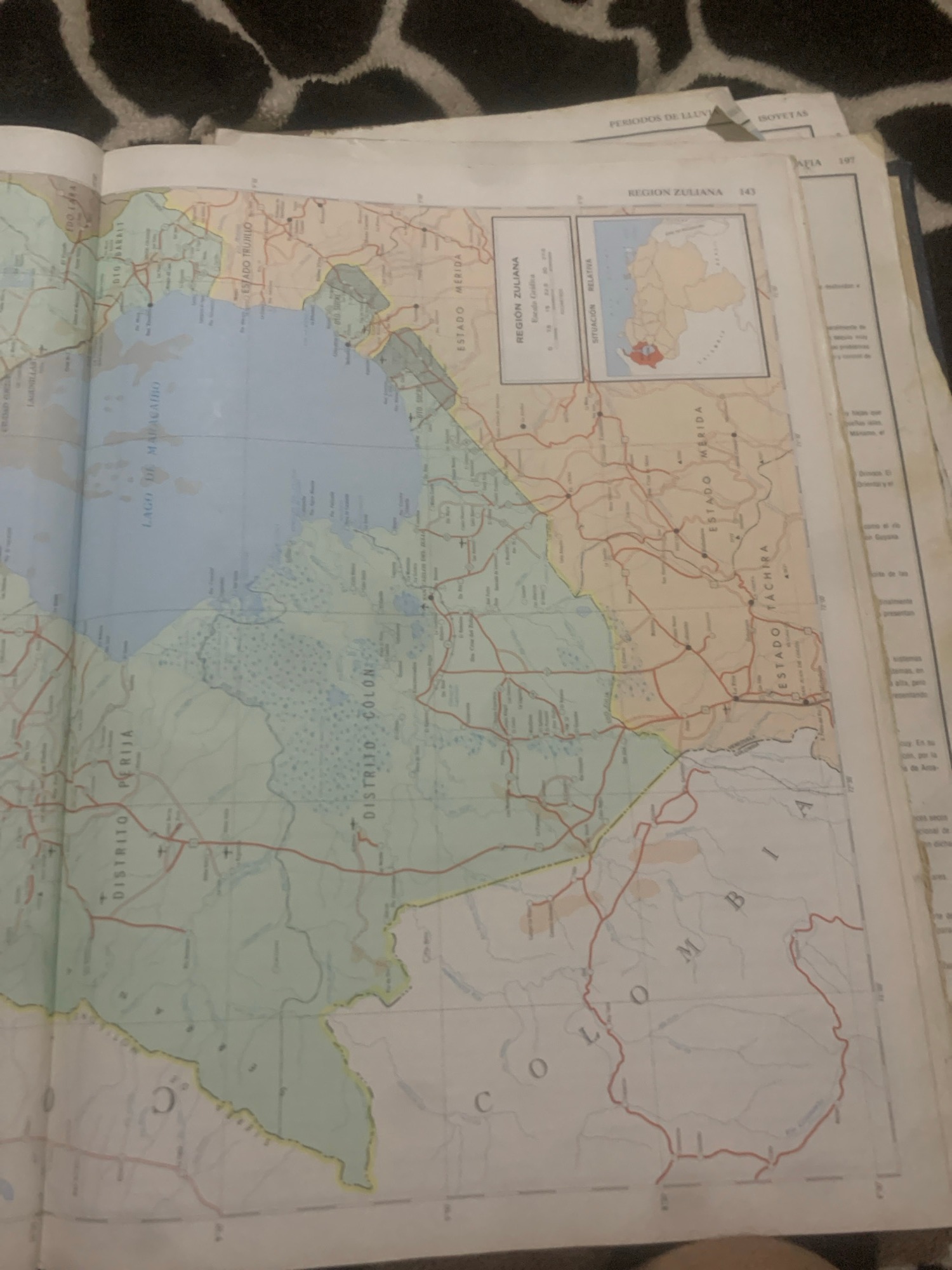
The image shows a page from a geography textbook, specifically titled "CARTOGRAFIA BASICA". The page displays a map of Venezuela, highlighting the states of Amazonas and Bolivar, as well as departments and rivers. There are no people or specific actions depicted in the image. The environment is that of a book with a map. The location in the city of La Tagua, Venezuela, is not explicitly marked on this particular map segment.
bombolico
La Tagua, Venezuela · Jun 25, 2026, 2:49 PM · 10.3k attention
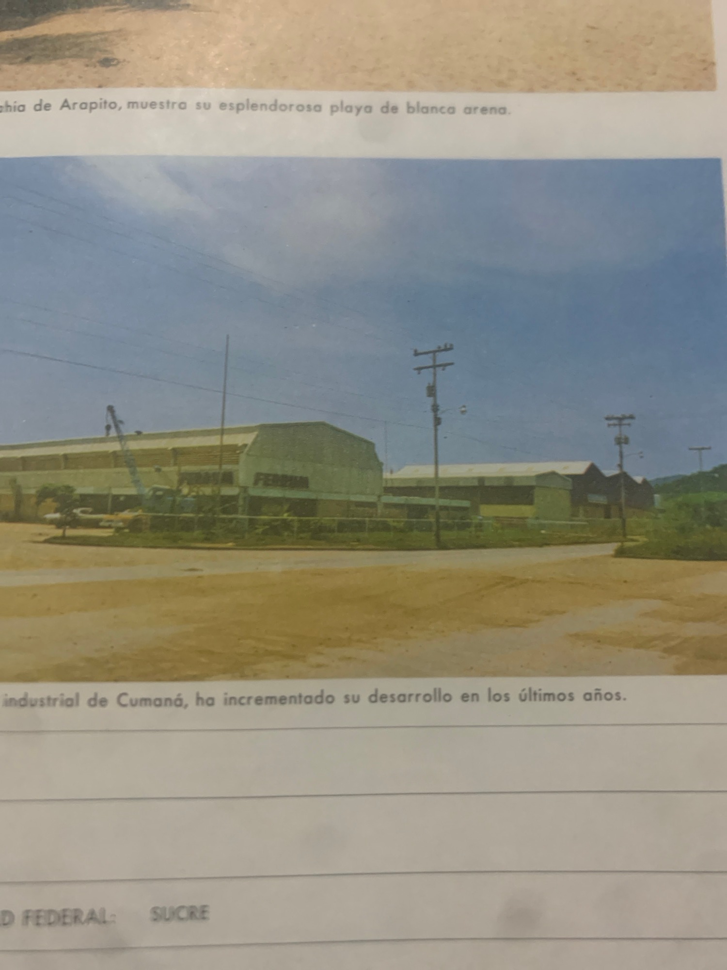
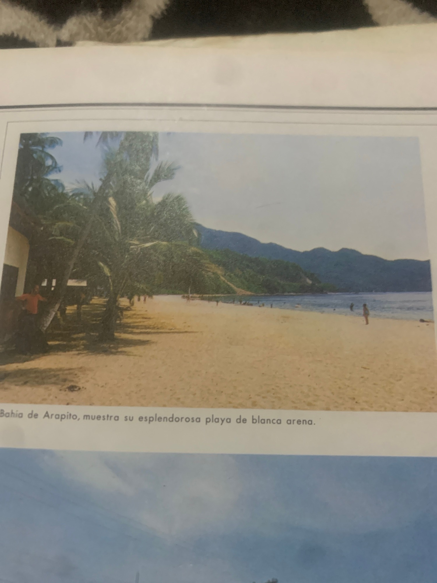
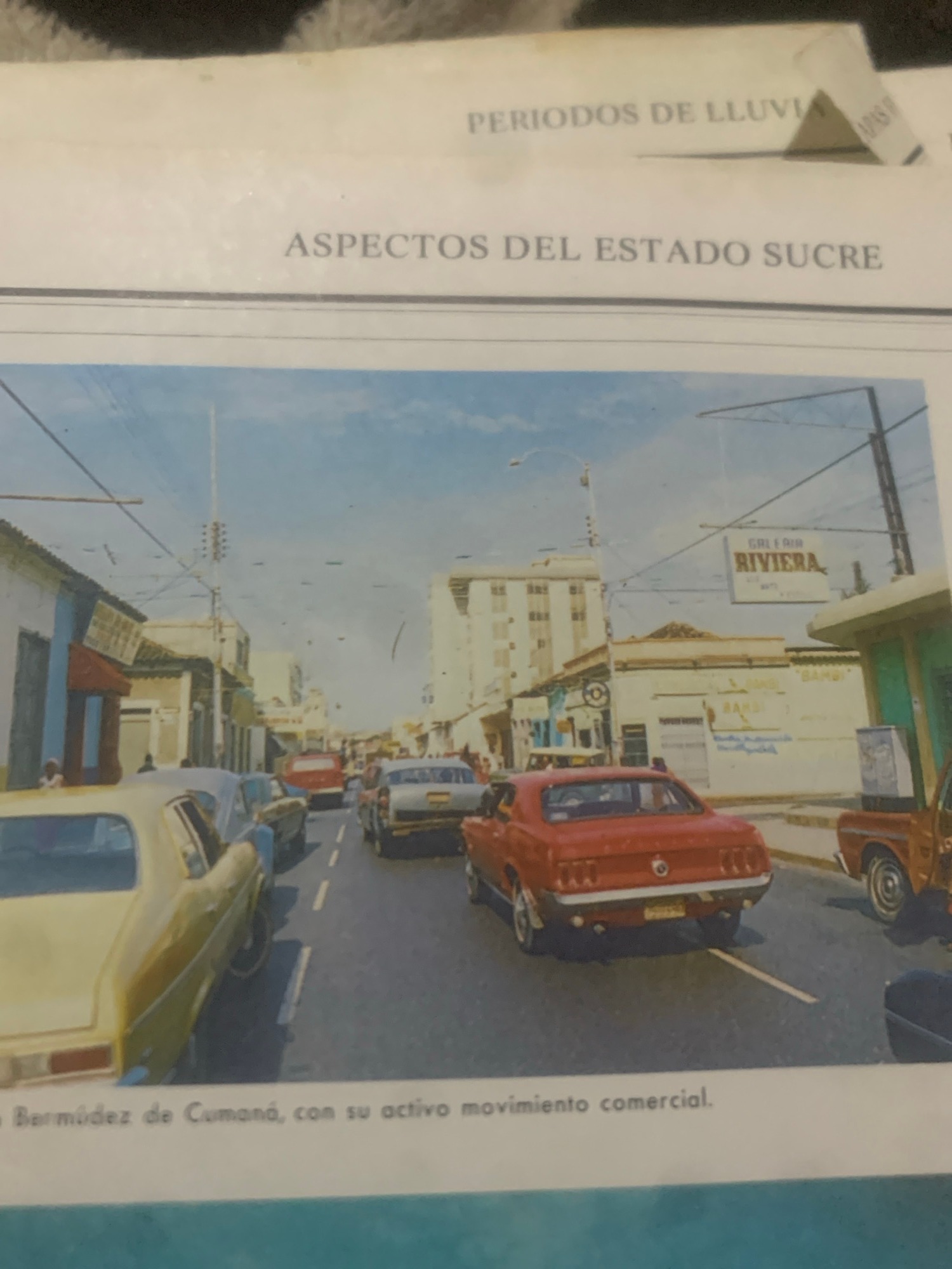
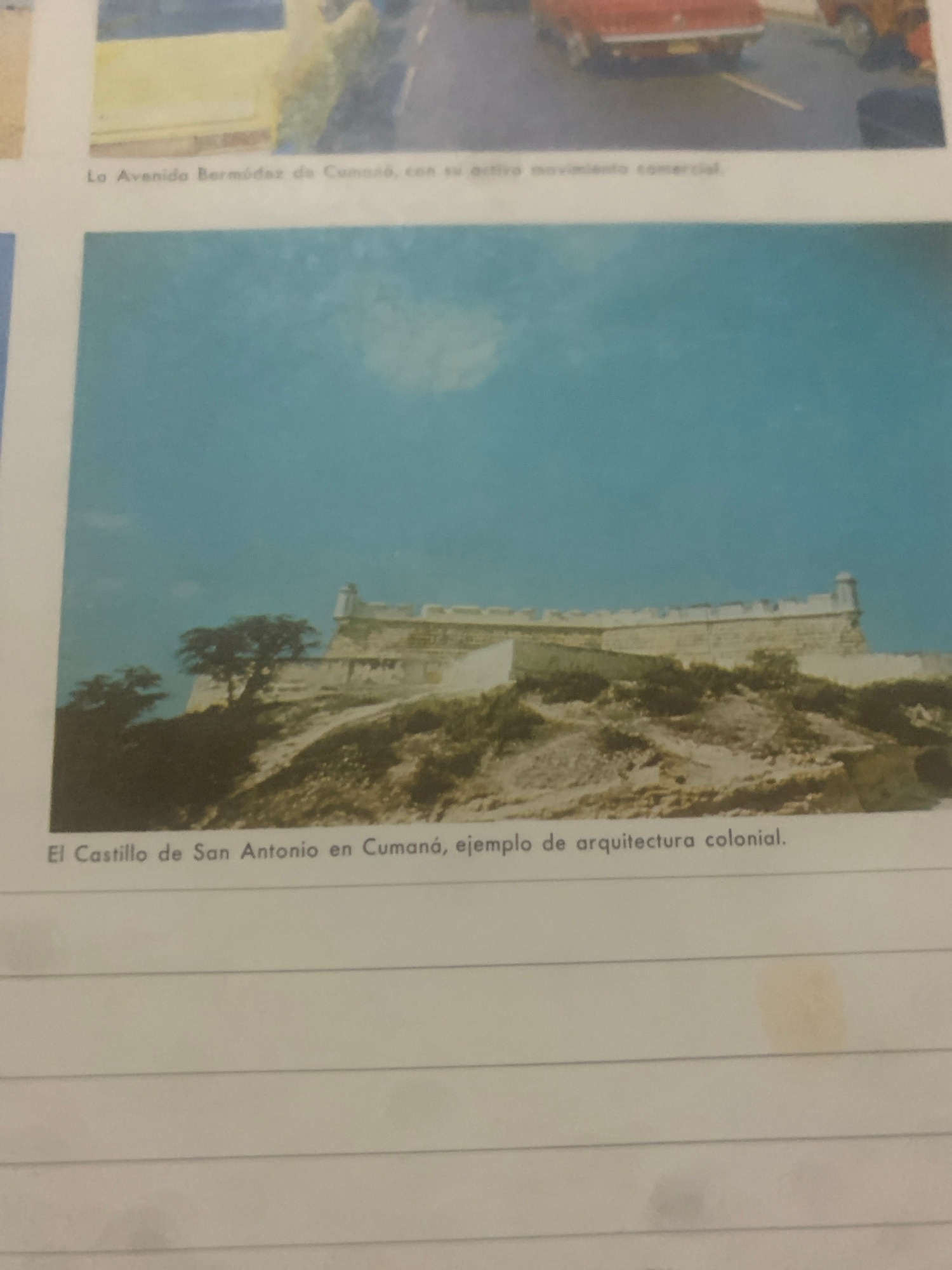
The image shows a page from a geography textbook, specifically titled "CARTOGRAFIA BASICA". The page displays a map of Venezuela, highlighting the states of Amazonas and Bolivar, as well as departments and rivers. There are no people or specific actions depicted in the image. The environment is that of a book with a map. The location in the city of La Tagua, Venezuela, is not explicitly marked on this particular map segment.
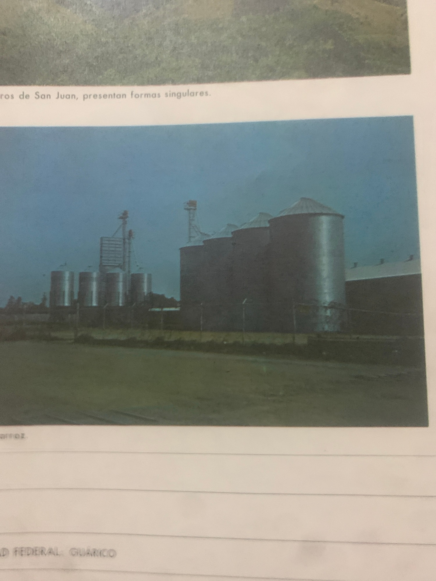
473
Memories4
Contributors10
Topics
Person Takes Selfies in Heart-Shaped Mirror With Purple Makeup
· Saturday, May 16, 2026
Beauty salon operations documented during morning business hours
· Saturday, May 16, 2026
Woman takes sidewalk selfie in Voronezh, Russia
Voronezh, Russia · Saturday, May 16, 2026
Woman takes selfies indoors in Nizhnyaya Chermoda, Russia
Nizhnyaya Chermoda, Russia · Saturday, May 16, 2026
Quiet afternoon at home in La Tagua, Venezuela
La Tagua, Venezuela · 6 memories
Dogs, books, and everyday objects at a Venezuelan home
Santa Ana, Venezuela · 57 memories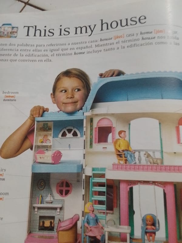
Home learning session in La Tagua blends daily life and English study
La Tagua, Venezuela · 118 memories
Educational materials and local snapshots from La Tagua, Venezuela
La Tagua, Venezuela · 41 memories