
Matteo
Creator
Fri, Jan 16, 2026, 04:10 PM
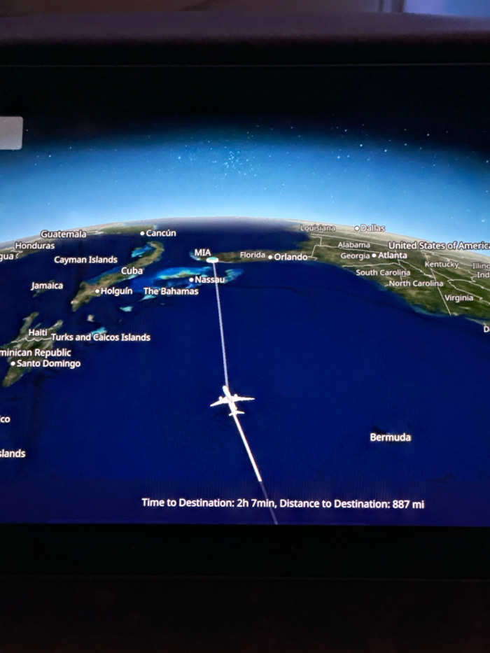
This media file displays an in-flight entertainment screen showing a digital map tracking an airplane's progress. The image is rotated 90 degrees clockwise, so the map appears on its side. The map il…read more
Anticipation
Excitement
Adventure
Wonder
Relaxation
Technical
ID
00f4c800-aa1e-4f0e-9
Usage Rights
This media is free for non-commercial use with proper attribution.
Commercial use, AI/ML training, and derivative works are prohibited without explicit consent from the creator.
Licensed under CC BY-NC 4.0 with additional AI/ML restrictions. Full terms →