
Sign in
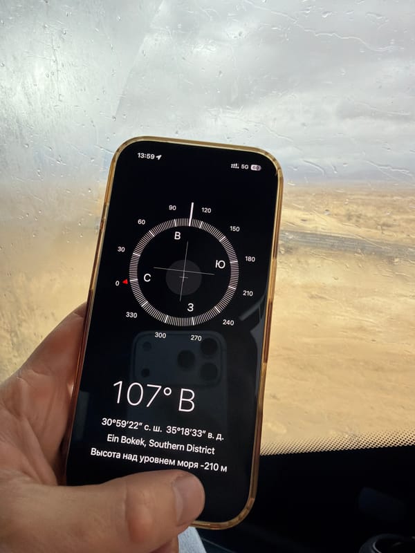
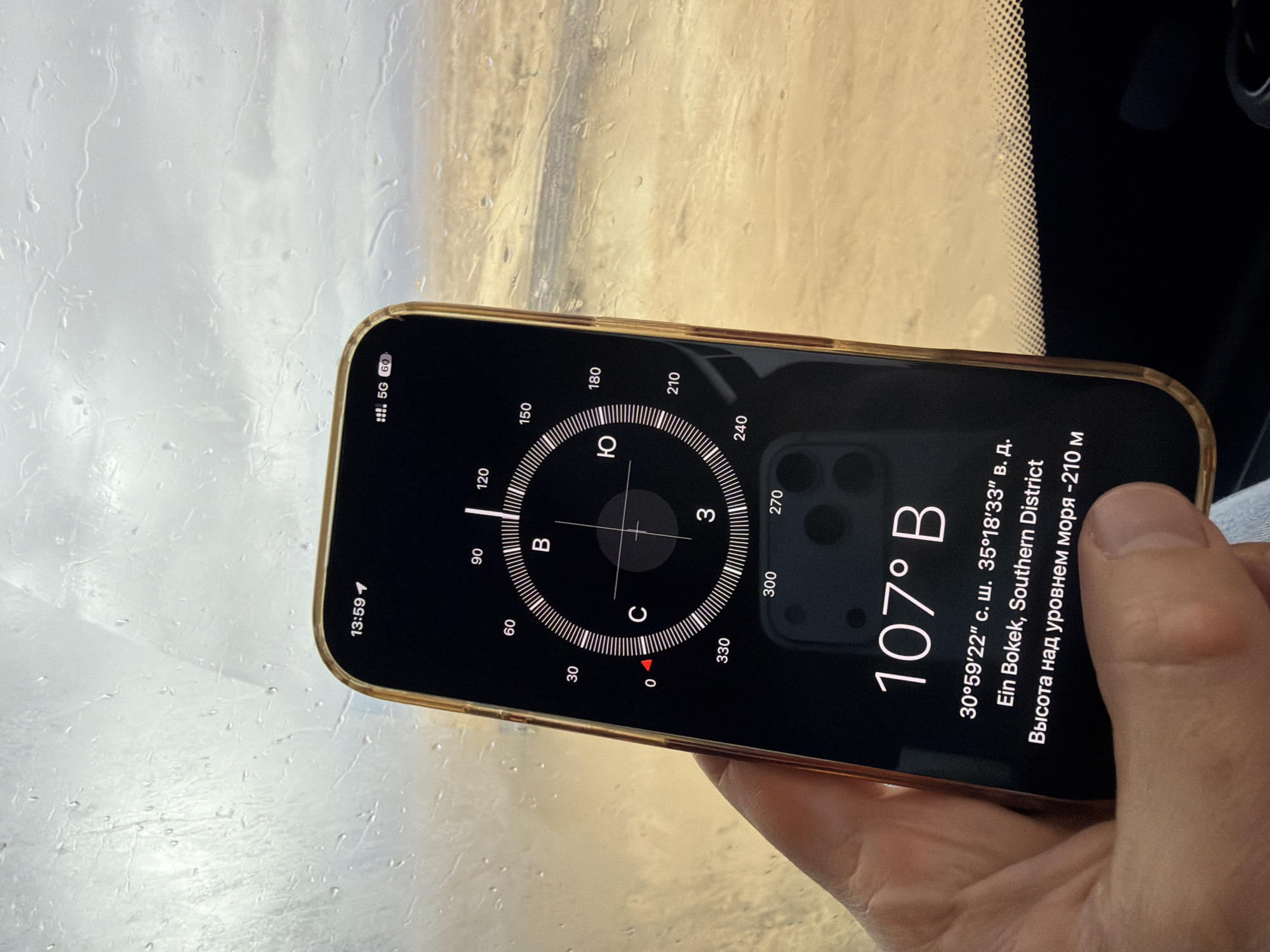
A human hand with fair skin holds an iPhone with a gold-colored frame, displaying a compass application, inside a vehicle or structure. The phone screen shows the time as 13:59, cellular signal, 5G connectivity, and a 60% battery charge in the top right corner. The main display is a compass dial indicating 107° East (denoted as "107° В"), with cardinal directions marked in Cyrillic: C (Север - North) at 0°, В (Восток - East) at 90°, Ю (Юг - South) at 180°, and З (Запад - West) at 270°. Below the compass, the geographic coordinates 30°59'22" N latitude and 35°18'33" E longitude are displayed. The text "Ein Bokek, Southern District" is visible, confirming the location as Ein Bokek within the Tamar Regional Council, Israel. The altitude is indicated as "-210 m" (Высота над уровнем моря -210 м), consistent with a Dead Sea region location. A reflection of what appears to be a dual-camera lens setup from another device is faintly visible on the lower part of the phone screen. The background, viewed through a rain-splashed window, reveals a beige or sandy desert landscape under an overcast sky, with numerous water droplets distorting the distant view. A subtle, light blue fabric is partially visible on the bottom left, below the hand.
G. 🚨

Mar 26, 2026, 11:59 AM

Tamar Regional Council, Israel

Moment

Stake attention in this memory

Curiosity
Contemplation
Claustrophobia
Uncertainty
Introspection

A human hand with fair skin holds an iPhone with a gold-colored frame, displaying a compass application, inside a vehicle or structure. The phone screen shows the time as 13:59, cellular signal, 5G connectivity, and a 60% battery charge in the top right corner. The main display is a compass dial indicating 107° East (denoted as "107° В"), with cardinal directions marked in Cyrillic: C (Север - North) at 0°, В (Восток - East) at 90°, Ю (Юг - South) at 180°, and З (Запад - West) at 270°. Below the compass, the geographic coordinates 30°59'22" N latitude and 35°18'33" E longitude are displayed. The text "Ein Bokek, Southern District" is visible, confirming the location as Ein Bokek within the Tamar Regional Council, Israel. The altitude is indicated as "-210 m" (Высота над уровнем моря -210 м), consistent with a Dead Sea region location. A reflection of what appears to be a dual-camera lens setup from another device is faintly visible on the lower part of the phone screen. The background, viewed through a rain-splashed window, reveals a beige or sandy desert landscape under an overcast sky, with numerous water droplets distorting the distant view. A subtle, light blue fabric is partially visible on the bottom left, below the hand.

Symbol

3DC54

Volume

0

Creator

+$0.07

Revenue

+$0.00

TVL

$0.00

1D
1W
1M
All

Loading AttnAds…

transactions
revenues
stakers
Earliest
Latest
Highest stake

1

Stef

Staked 3mo ago
Redeemed 1mo ago

$7.48 USD

-$0.09 USD

Fee: $0.02 (0.25%)

-1%

More from this user

More from Tamar Regional Council

G. 🚨

Mar 26, 2026, 11:59 AM

Tamar Regional Council, Israel

Licensed under Creative Commons Attribution 4.0 International License. You are free to share and adapt this content with proper attribution.