
Saint Roman
Creator
Tue, Mar 31, 2026, 12:35 AM
Los Angeles, United States of America
33.94400, -118.41300
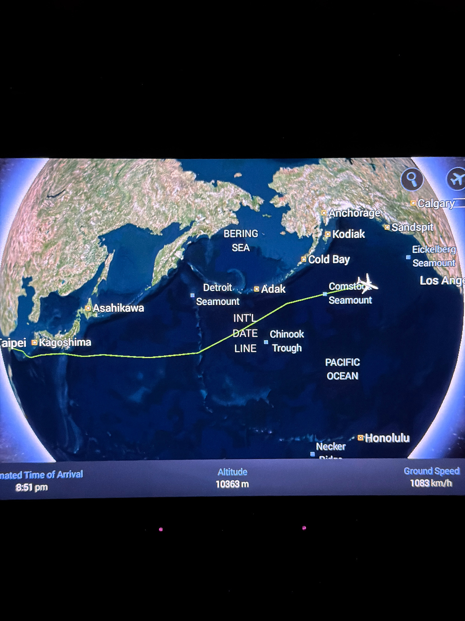
Here is a description of the image: The image displays a flight tracking map. The flight path, indicated by a green line, originates near Taipei and Kagoshima, passes over Asahikawa, and is currently…read more
Adventure
Wonder
Awe
Excitement
Curiosity
Technical
ID
64f15e9b-4db0-4241-a
Usage Rights
This media is free for non-commercial use with proper attribution.
Commercial use, AI/ML training, and derivative works are prohibited without explicit consent from the creator.
Licensed under CC BY-NC 4.0 with additional AI/ML restrictions. Full terms →