
valerzz
Creator
Sun, Jun 14, 2026, 11:05 AM
15d ago
Castelló de la Plana, Spain
39.99400, -0.06800
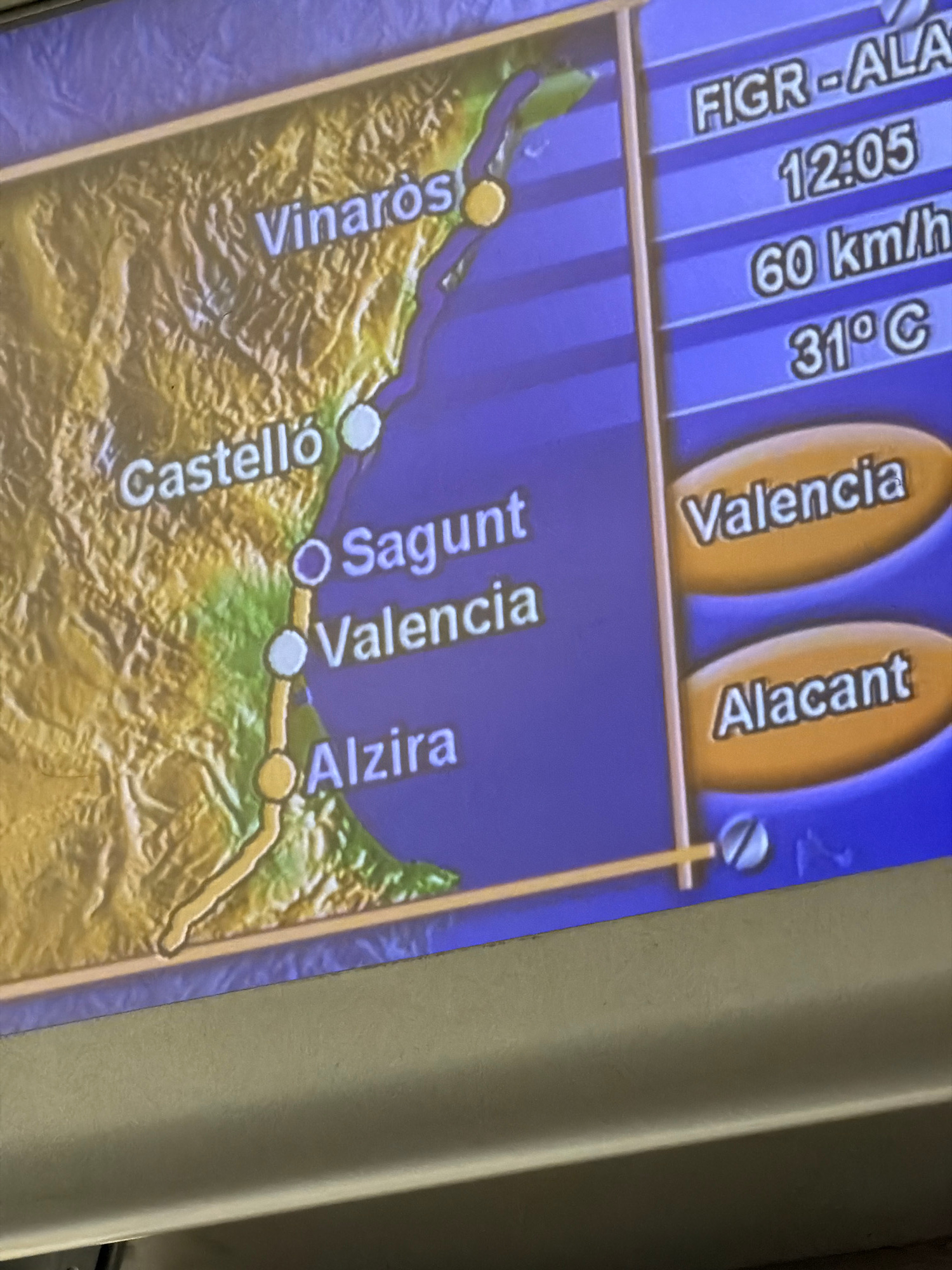
The image displays a digital map on a screen, likely a navigation or travel display. The map shows a coastal region in Spain, with several cities marked along the coast. The cities visible are Vinaròs…read more
anticipation
curiosity
planning
information
focus
Technical
ID
9e5a6daf-f928-48d0-b
Usage Rights
This media is free for non-commercial use with proper attribution.
Commercial use, AI/ML training, and derivative works are prohibited without explicit consent from the creator.
Licensed under CC BY-NC 4.0 with additional AI/ML restrictions. Full terms →