
valerzz
Creator
Thu, Jun 11, 2026, 08:01 AM
16d ago
l'Hospitalet de Llobregat, Spain
41.36100, 2.12300
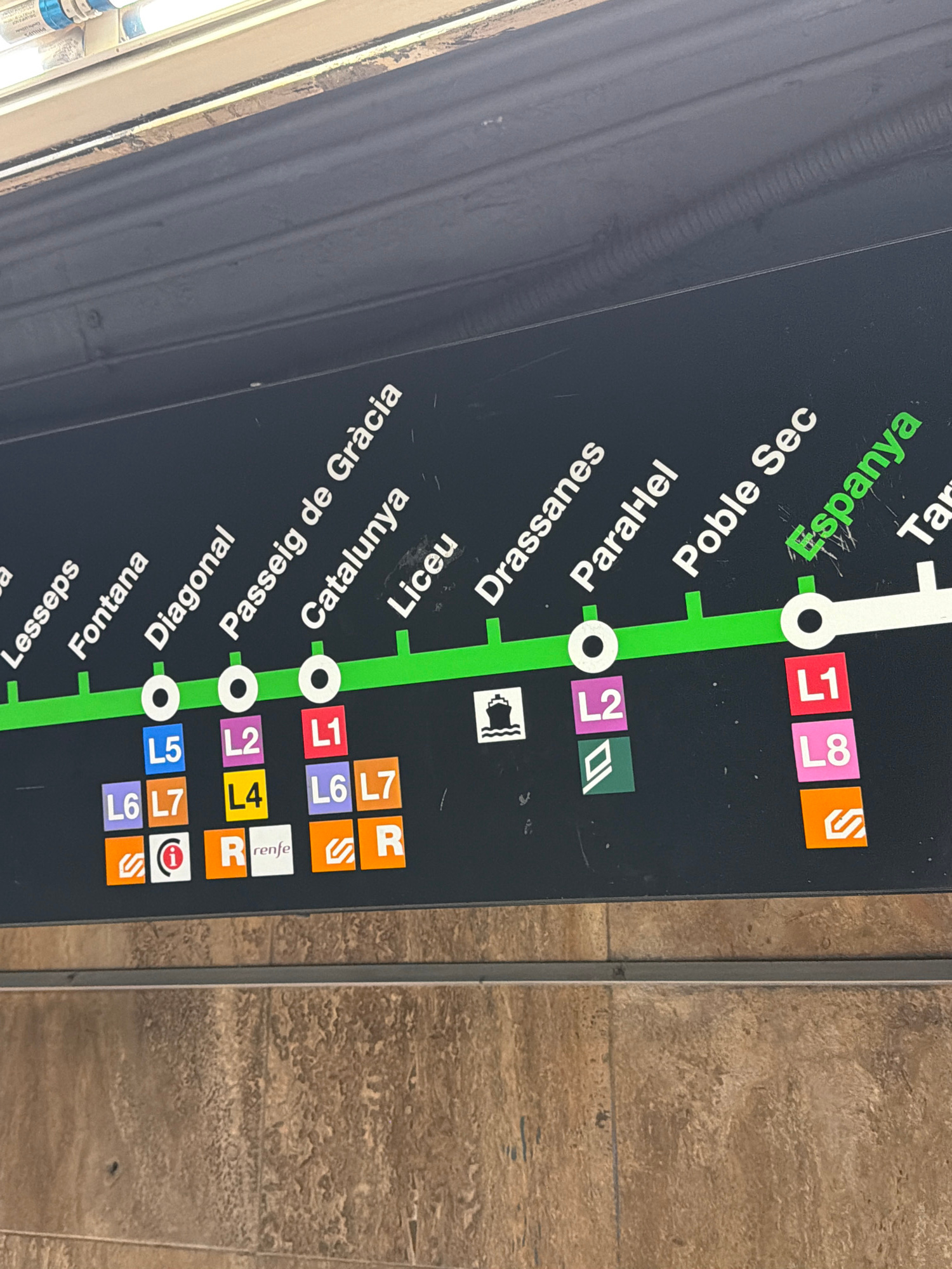
The image shows a section of a Barcelona metro map, indicating train lines and station names. The map features a dark background with green and white lines representing the metro routes. Station names…read more
curiosity
anticipation
efficiency
navigation
clarity
Technical
ID
fcad1e1a-ed42-4910-a
Usage Rights
This media is free for non-commercial use with proper attribution.
Commercial use, AI/ML training, and derivative works are prohibited without explicit consent from the creator.
Licensed under CC BY-NC 4.0 with additional AI/ML restrictions. Full terms →