Stake attention in this memory
informative
educational
geographic
detailed
historical
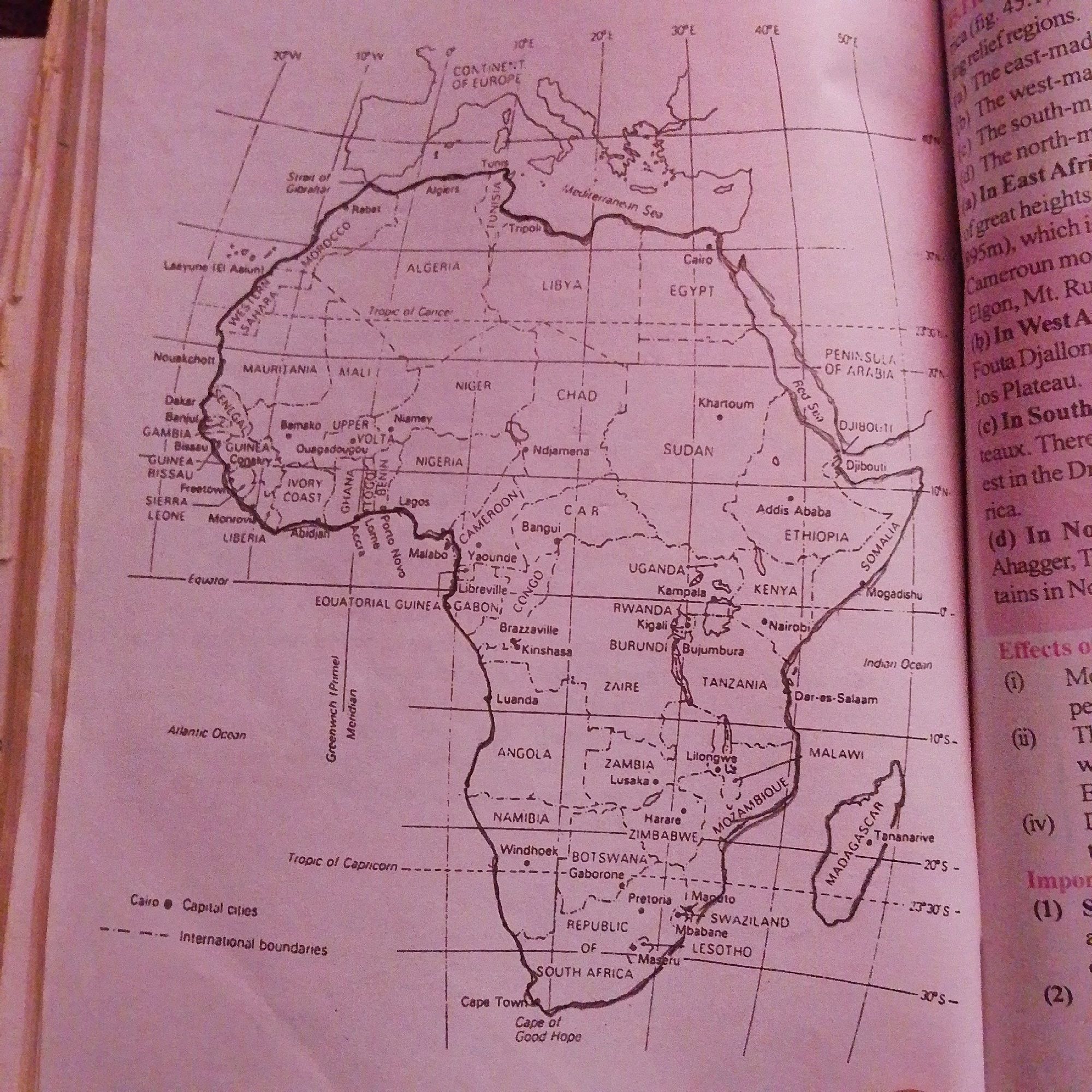
The image is a map of Africa, showing countries, capital cities, and geographical features like the Strait of Gibraltar, Mediterranean Sea, Tropic of Cancer, Equator, Tropic of Capricorn, Red Sea, Atlantic Ocean, and Indian Ocean. The map also indicates the Greenwich Meridian. A legend at the bottom left clarifies that a black dot represents a capital city and dashed lines represent international boundaries. The city of Jalingo, Nigeria, is not depicted on this map of Africa.
transactions
revenues
stakers
Earliest
Latest
Highest stake
No transactions found