Stake attention in this memory
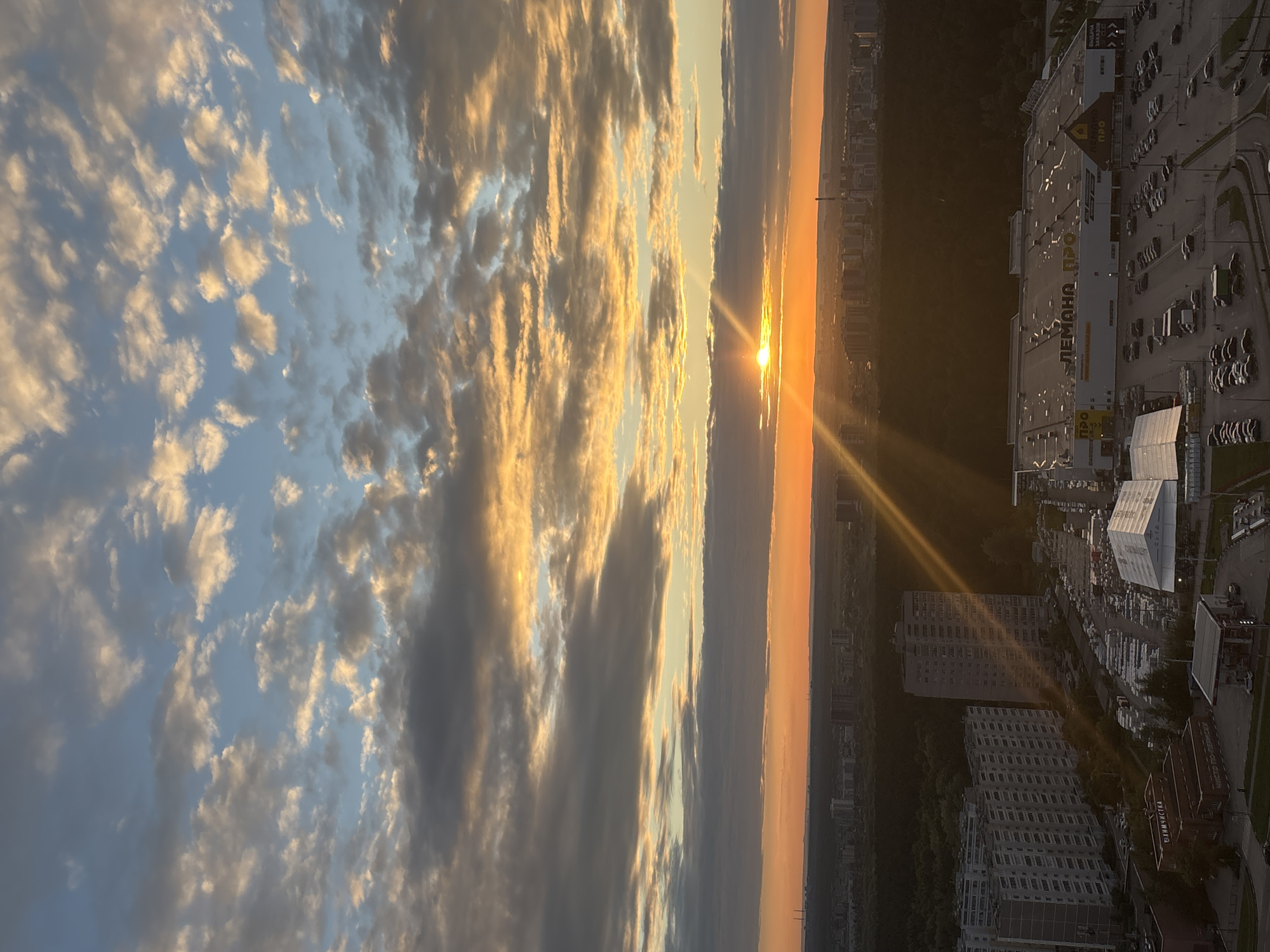
An aerial image captured at sunset over Dikaya Gar', Russia, displays an urban landscape under a sky dominated by stratocumulus and altocumulus clouds. The sun, a bright yellow orb, is situated slightly left of the image center along the horizon, emitting distinct rays that angle downwards and left across the scene. The sky exhibits a gradient from deep blue at the top, transitioning through light blues, grays, and warm oranges, yellows, and reds closer to the horizon. The horizon reveals a distant cityscape with faint industrial structures, including multiple chimneys on the far left. A dense, dark green forest belt traverses the midground, acting as a natural divider. Visible through and beyond this forest are various multi-story residential buildings. The foreground presents a developed urban area. On the left, several large, multi-story apartment blocks with numerous windows are prominent. To the right, a substantial commercial complex is visible, identified by the signage "ЛЕМОНА ПРО" (LEMONA PRO) on its white facade and a distinctive yellow triangular logo. A vast parking lot in front of this complex contains a high density of parked vehicles. Adjacent to the parking lot, a large, translucent white tent structure stands. Further foreground elements include a smaller brick building labeled "ХИМЧИСТКА" (Dry Cleaning) and a gas station canopy with vehicles underneath, indicating active use. Roads and pathways connect these urban structures. No individual people are distinctly identifiable due to the high vantage point.
Symbol
00386
Volume
19,488
Creator
+$0.07
Revenue
+$0.08
TVL
$6.06
Loading AttnAds…
4
Rev Bot 🤖💰
Injected revenue 1mo ago
“Revenue bonus for the last 3 stakes.”
+$0.08 USD