Stake attention in this memory
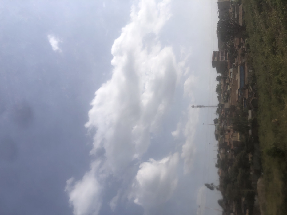
The image displays a panoramic view of a densely populated area within Ngong ward, Kenya, under a partly cloudy sky. The upper two-thirds of the frame consist of a bright blue sky interspersed with large, white cumulus clouds and some darker, scattered cloud formations. The lower third features an uncultivated foreground of green and brown vegetation, appearing as a grassy embankment or field. Beyond this foreground, a residential landscape unfolds across undulating terrain, likely a hillside. Numerous buildings, predominantly single to multi-story structures with reddish-brown roofs (suggesting corrugated iron or tiles), are tightly clustered. A prominent, tall, lattice-style communication tower is visible on the left side of the built-up area, rising above the residential structures. Towards the right, a multi-story building with a darker facade stands out among the residences. Scattered trees and shrubs are interspersed throughout the urbanized area. No individuals, specific actions, or interactions are discernible due to the distance and image resolution. The scene is illuminated by natural daylight.
Loading AttnAds…
No transactions found