
Stake attention in this memory
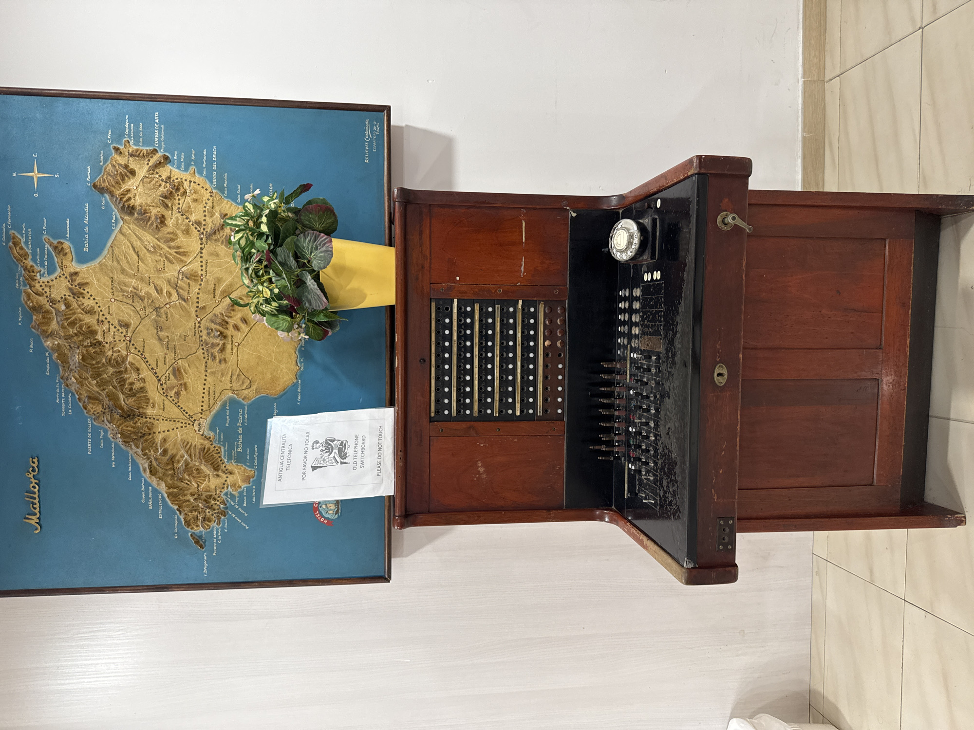
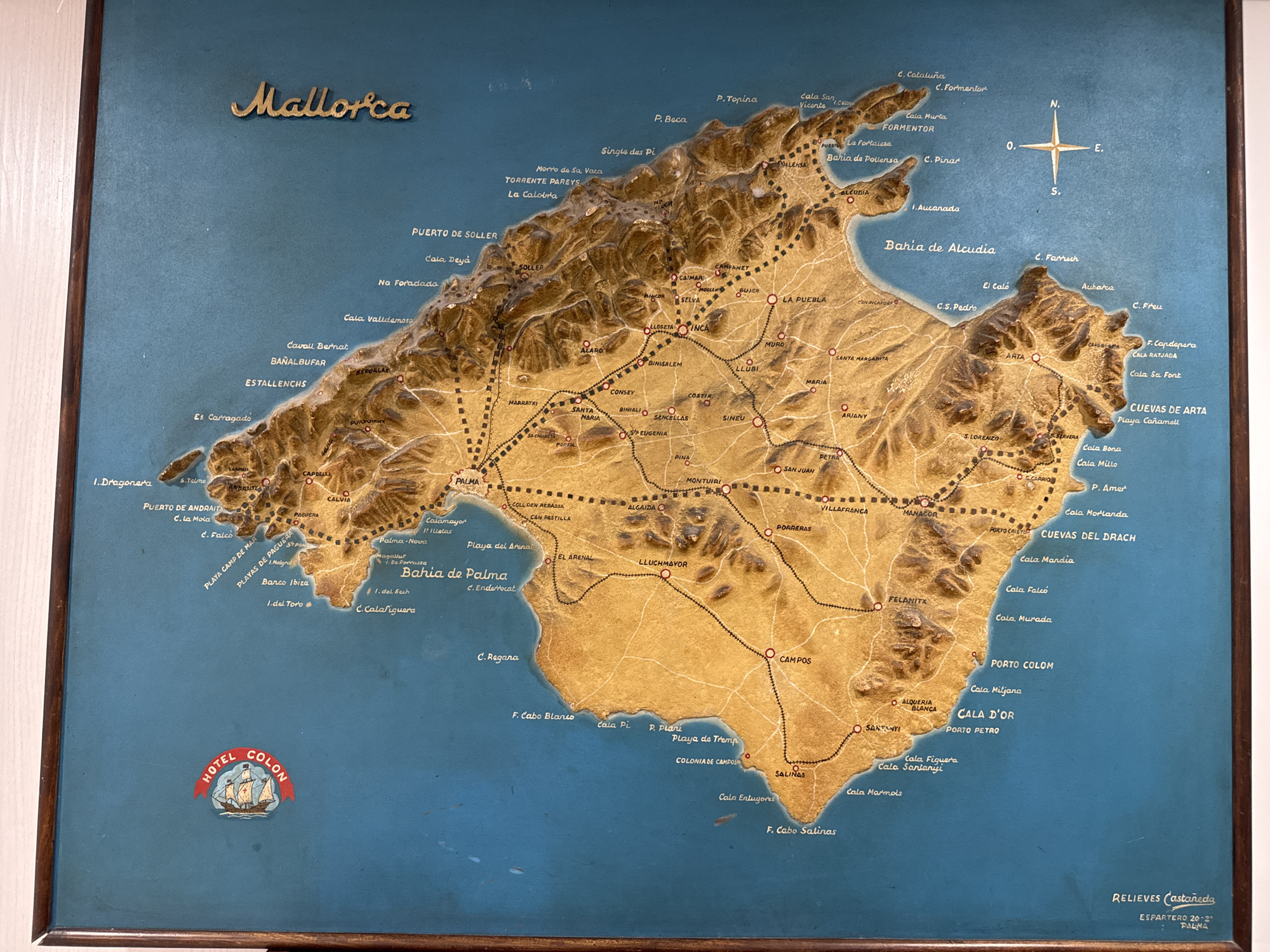
This is a high-angle, full shot of a three-dimensional relief map of Mallorca, Spain, mounted in a wooden frame. The map depicts the island's topography with raised landmasses and textured surfaces. Various towns, cities, bays, and geographical features are labeled in gold lettering, with red dots marking settlements and black dotted lines indicating roads and railway lines. The surrounding area is a flat blue surface, representing the sea. In the lower left corner of the map, a circular emblem for "HOTEL COLON" with a sailing ship is visible. In the lower right corner, the text "RELIEVES Castañeda ESPARTERO 20-2 PALMA" is inscribed. The city of Can Pastilla, Spain, is labeled on the map as "CAN PASTILLA" within the "Bahia de Palma" area, situated on the southeastern coast of the island, east of Palma and west of El Arenal. It is marked with a red dot, indicating it is a settlement. The map shows it connected by a dotted line to other locations, suggesting it is accessible by road or rail.
Loading AttnAds…
No transactions found