Stake attention in this memory
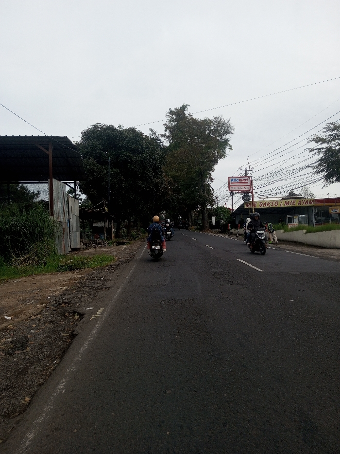
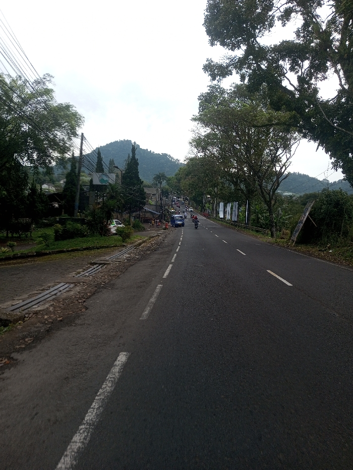
The image displays a two-lane asphalt road descending through the city of Sat Thay (East), Myanmar, under an overcast sky. The road is marked with white dashed lines. On the left, a dirt shoulder contains metal grate drains and is bordered by dense green vegetation, including tall coniferous trees and general foliage. Utility poles with overhead power lines are visible along this side. A white car is parked on the left shoulder. Further down, a blue van and multiple motorcycles, each operated by an individual, are in motion, traveling away from the viewer. Buildings are partially obscured by vegetation on the left, with indistinct human figures near the roadside structures. The right side of the road is lined with lush green trees and shrubs, behind which several white rectangular signs are visible. A dilapidated wooden structure leans into the foliage further along the right side. In the background, a large, forested mountain and additional hills are visible beneath the light grey sky. All vehicular traffic observed is proceeding downhill.
No transactions found