Stake attention in this memory
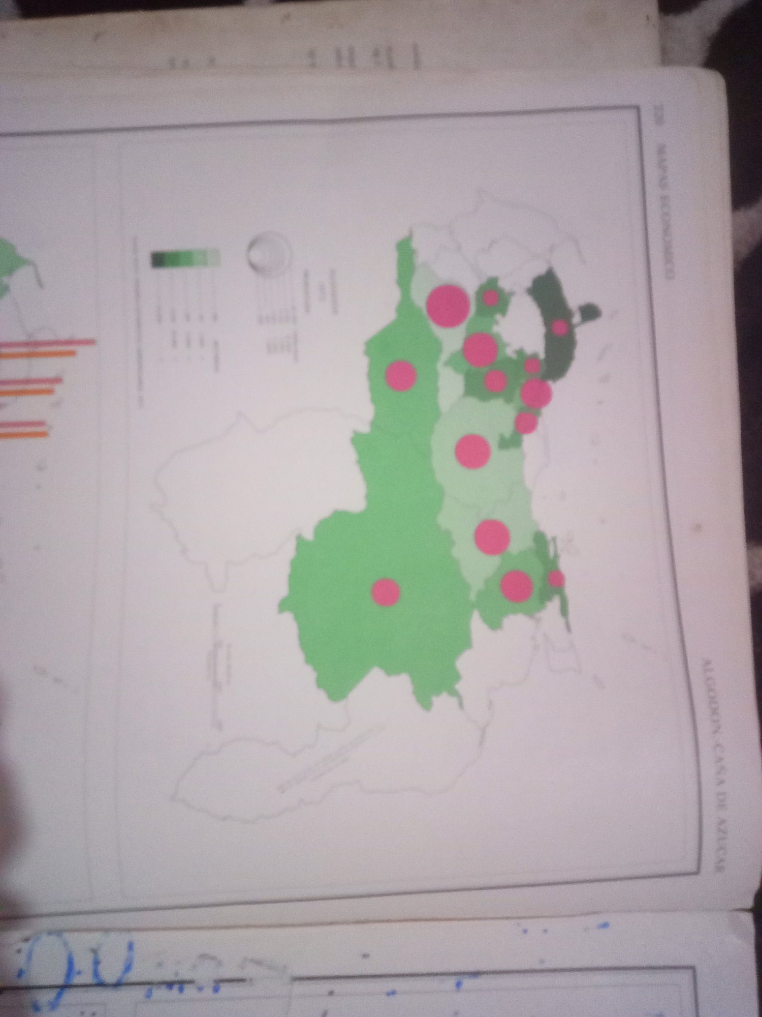
The image displays a map showing agricultural production, likely in Venezuela. Several regions are colored green, indicating areas of cultivation. Pink circles of varying sizes are superimposed on the map, possibly representing production levels or economic activity at specific locations. A legend with color gradients and circular symbols is visible to the left, which likely explains the data represented on the map. Text in Spanish is present on the right side of the map, including "MAPA ECONOMICO" and "ALGODON-CANA DE AZUCAR," suggesting the map relates to cotton and sugar cane. The map's geographical outline suggests it is a regional map rather than a city map of La Tagua. The image is a photograph of a page in a book or report.
Symbol
03423
Volume
11,550
Creator
+$0.03
Revenue
+$0.05
TVL
$2.40
Loading AttnAds…

2

Rev Bot 🤖💰
Injected revenue 3mo ago
“Revenue bonus for the last stake.”
+$0.05 USD






