
Stake attention in this memory
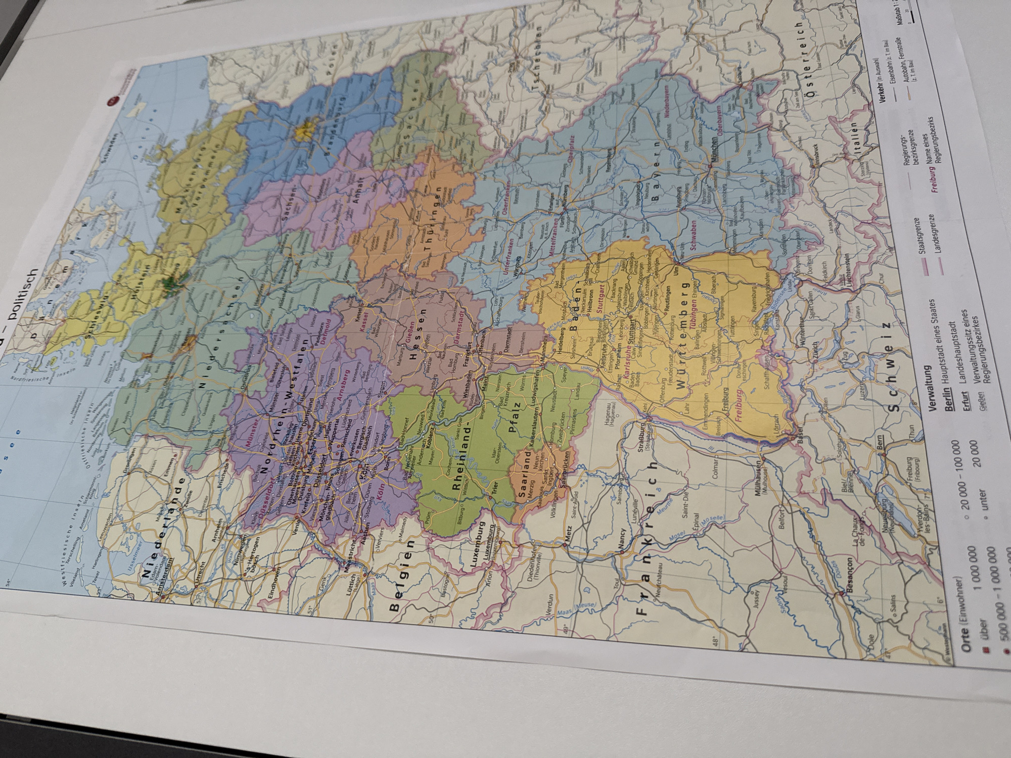
This is a photograph of a political map of Germany and surrounding countries, viewed from an angle. The map displays borders of federal states in different colors and numerous city names. A legend at the bottom right explains symbols for states, state borders, and administrative districts. The map is mostly in focus, but the edges and corners are slightly out of focus. The lighting suggests an indoor environment, likely a room with artificial light. There are no people visible in the image. The city of Bad Sachsa, Germany, is not explicitly labeled on the visible portion of the map. However, the map covers areas that would be near it. Bad Sachsa is located in the Harz region, which falls within the state of Lower Saxony (Niedersachsen) on the map. Given its location within Niedersachsen, it would be east of the marked city of Göttingen and west of cities like Nordhausen and Quedlinburg.
Symbol
0365F
Volume
13,910
Creator
+$0.04
Revenue
+$0.09
TVL
$3.39
Loading AttnAds…


3

Rev Bot 🤖💰
Injected revenue 1h ago
“Revenue bonus for the last 2 stakes.”
+$0.09 USD