
Stake attention in this memory
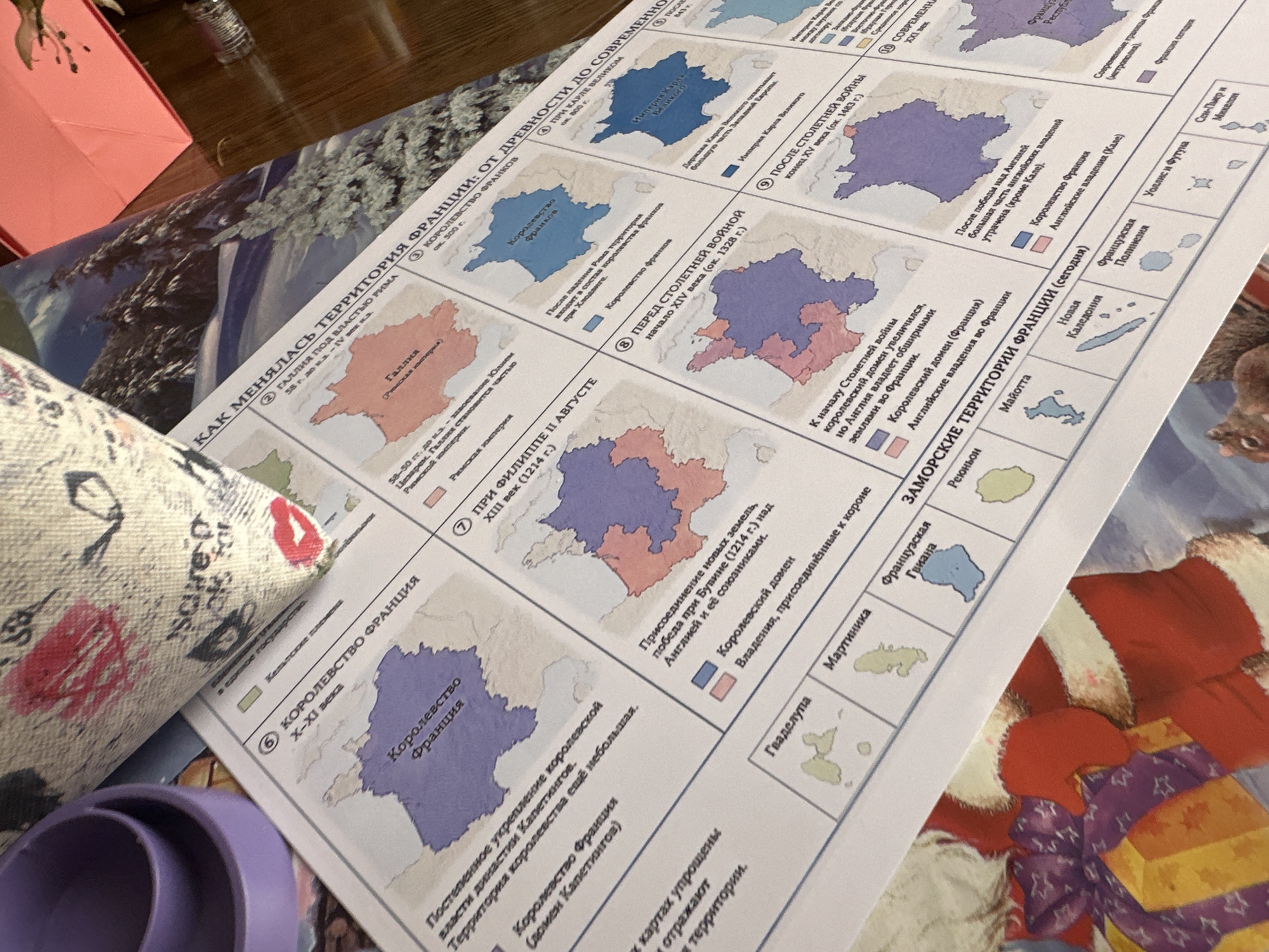
The image shows a close-up of a map or educational chart detailing the changing territories of France from ancient times to the present. The chart is laid out on a wooden surface, possibly a table, with a portion of a patterned fabric pouch and a glimpse of a festive, holiday-themed decoration featuring Santa Claus and a gift. The map is divided into sections, each representing a different historical period and geographical area of France, with colored regions indicating different political entities. Text in Russian accompanies each section, explaining the historical context and territorial changes. Several islands or overseas territories are also depicted at the bottom of the chart, including Guadeloupe, Martinique, French Guiana, Réunion, Mayotte, New Caledonia, French Polynesia, Wallis and Futuna, and Saint Pierre and Miquelon. The lighting suggests an indoor setting.
Loading AttnAds…
No transactions found