Stake attention in this memory
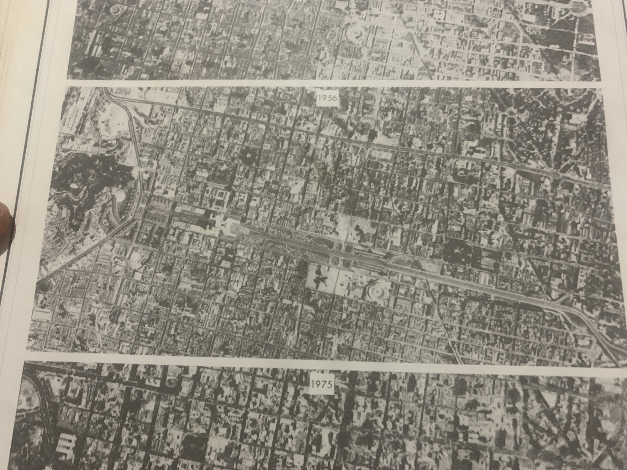
The media file consists of three aerial photographs of a city, likely La Tagua, Venezuela, taken at different times. Each photograph displays an urban landscape characterized by a grid of streets, buildings of varying sizes, and some green spaces. The first photograph, at the top, shows a dense urban area with a circular feature visible in the upper part. The second photograph, dated "1956" in text overlay, depicts a similar urban layout but with a prominent highway or major road cutting through the scene. A large dark area, possibly a park or undeveloped land, is visible on the left side. The third photograph, dated "1975" in text overlay, reveals further development and changes in the urban fabric. The streets and buildings appear more numerous, and some new structures or infrastructure might be present. No people are discernible in these aerial views. The photographs provide a historical overview of urban development and change over approximately two decades. The time of day and weather conditions are not discernible from the images. The location cues are inferred from the provided context.
Symbol
03C5F
Volume
0
Creator
+$0.03
Revenue
+$0.00
TVL
$0.00
Loading AttnAds…

2

Rev Bot 🤖💰
Injected revenue 2mo ago
“Revenue bonus for the last stake.”
+$0.07 USD





