
Stake attention in this memory
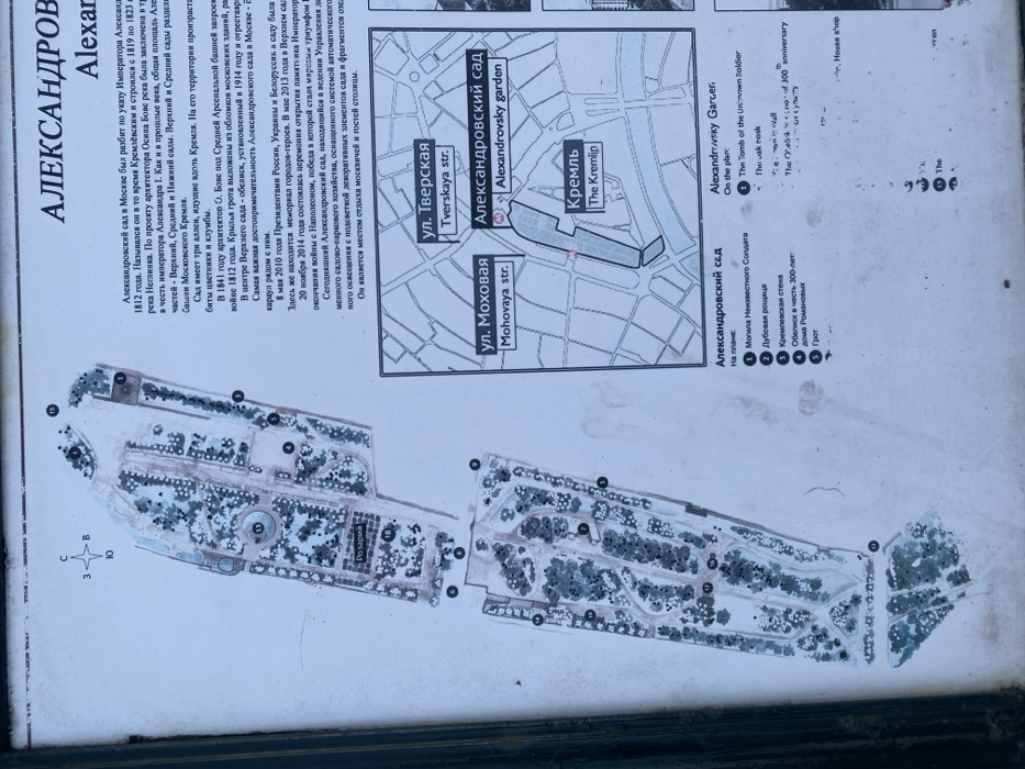
The image is a sign showing a map of Alexandrovsky Garden in Moskva, Russia, located at latitude 55.759, longitude 37.615. The map is oriented with north at the top. The map shows the outline of the garden, marked with several numbers, which are explained in a list under the heading "Alexandrovsky Sad," which is Russian for "Alexandrovsky Garden." Under the heading "Alexandrovsky Garden," a list in English describes the same features listed on the Russian side of the map. The map is surrounded by text, describing the history of the garden. The text mentions that the garden was established in 1812 and has been modified since then. The text also mentions that the garden has been used for various events, such as military parades and memorials, and that it is a popular destination for tourists. The map is also marked with several street names, including "ul. Tverskaya str," "ul. Mokhovaya str," and "Kremlin." The background of the sign is white. The sign appears to be made of a sturdy, weatherproof material, such as metal or plastic. The image appears to have been taken outdoors, as there are shadows present on the sign.
Loading AttnAds…
No transactions found