
Sign in
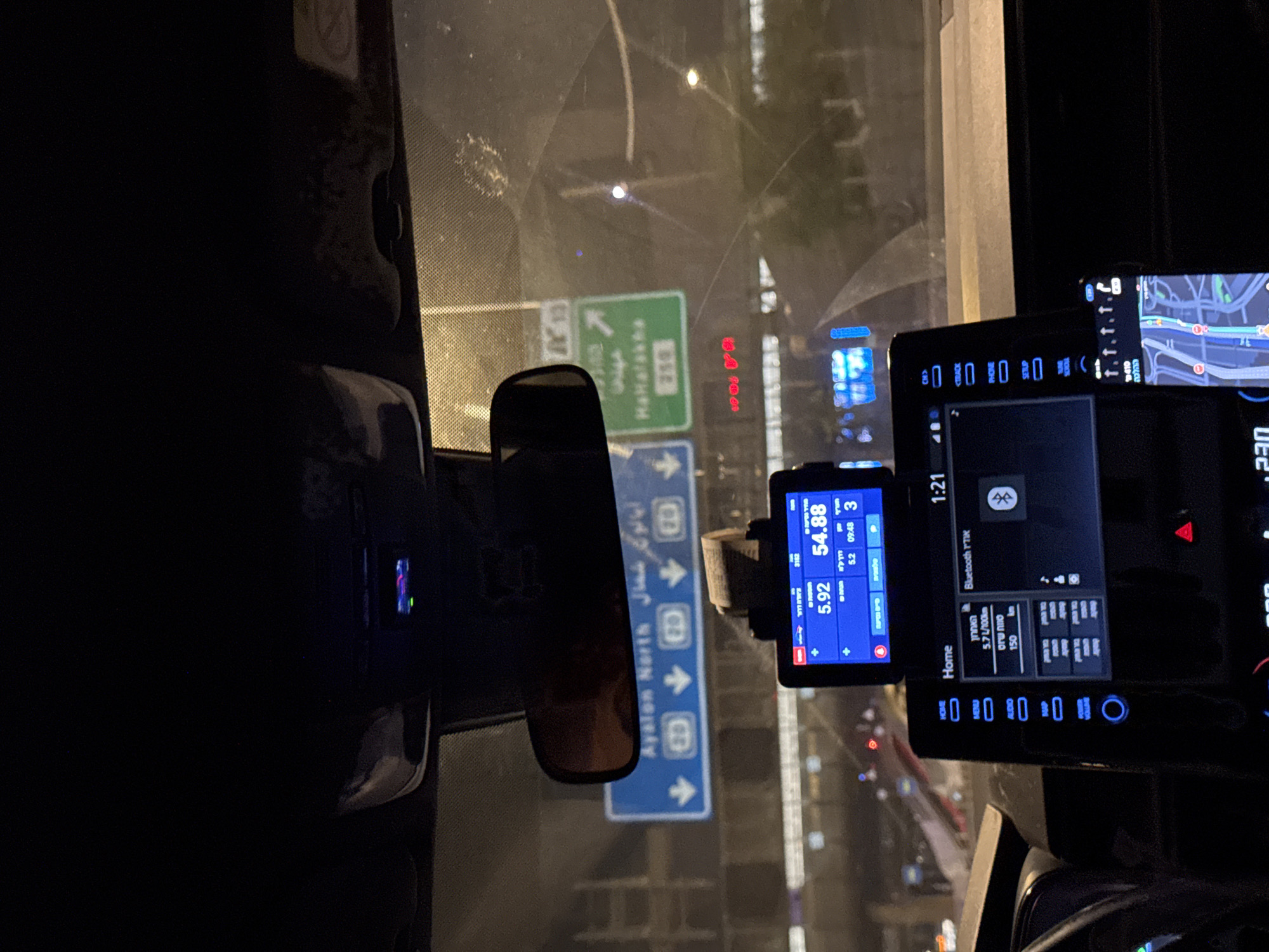
The image depicts a nighttime view from the interior of a vehicle, looking out through the windshield at an urban highway in Tel-Aviv, Israel.

In the immediate foreground, the vehicle's dashboard and interior elements are visible. A rearview mirror hangs centrally. Below it, a small digital display, possibly a taxi meter or GPS unit, is mounted, showing numerical values: "5.92," "54.88," "09:48," and "3," with additional Hebrew text. A stack of paper or bills is tucked behind this device. A larger central infotainment screen displays "Home," "1:21," "Bluetooth YTK," and vehicle information including "5.7 L/100km" and "150 km," along with Hebrew text. To the right, a smartphone displays a map application with a highlighted route. The interior ceiling and windshield show visible dirt and smudges.

Outside the vehicle, through the windshield, multiple illuminated road signs are clearly visible, indicating directions and destinations. A prominent blue overhead sign with Hebrew and Arabic text directs traffic to "Ayalon North" with four downward arrows, each accompanied by the number "20." To the right, a green sign points with an arrow to "HaHalakha" (also in Hebrew), displaying the number "238." The background features the blurred lights of other vehicles, streetlights, and distant city buildings, characteristic of a major highway at night. The presence of these specific road signs confirms the location as Tel-Aviv, Israel, on the Ayalon Highway (Route 20) near the HaHalakha Interchange, with the vehicle heading northbound. No individuals are visible in the scene.
FM-hgrBk2

Mar 26, 2026, 11:23 PM

Tel-Aviv, Israel

Stake attention in this memory

Serenity
Focus
Contemplation
Melancholy
Introspection

The image depicts a nighttime view from the interior of a vehicle, looking out through the windshield at an urban highway in Tel-Aviv, Israel. In the immediate foreground, the vehicle's dashboard and interior elements are visible. A rearview mirror hangs centrally. Below it, a small digital display, possibly a taxi meter or GPS unit, is mounted, showing numerical values: "5.92," "54.88," "09:48," and "3," with additional Hebrew text. A stack of paper or bills is tucked behind this device. A larger central infotainment screen displays "Home," "1:21," "Bluetooth YTK," and vehicle information including "5.7 L/100km" and "150 km," along with Hebrew text. To the right, a smartphone displays a map application with a highlighted route. The interior ceiling and windshield show visible dirt and smudges. Outside the vehicle, through the windshield, multiple illuminated road signs are clearly visible, indicating directions and destinations. A prominent blue overhead sign with Hebrew and Arabic text directs traffic to "Ayalon North" with four downward arrows, each accompanied by the number "20." To the right, a green sign points with an arrow to "HaHalakha" (also in Hebrew), displaying the number "238." The background features the blurred lights of other vehicles, streetlights, and distant city buildings, characteristic of a major highway at night. The presence of these specific road signs confirms the location as Tel-Aviv, Israel, on the Ayalon Highway (Route 20) near the HaHalakha Interchange, with the vehicle heading northbound. No individuals are visible in the scene.

Loading AttnAds…

transactions
revenues
stakers
Earliest
Latest
Highest stake

No transactions found

More from this user

More from Tel-Aviv

FM-hgrBk2

Mar 26, 2026, 11:23 PM

Tel-Aviv, Israel

Licensed under Creative Commons Attribution 4.0 International License. You are free to share and adapt this content with proper attribution.