Stake attention in this memory
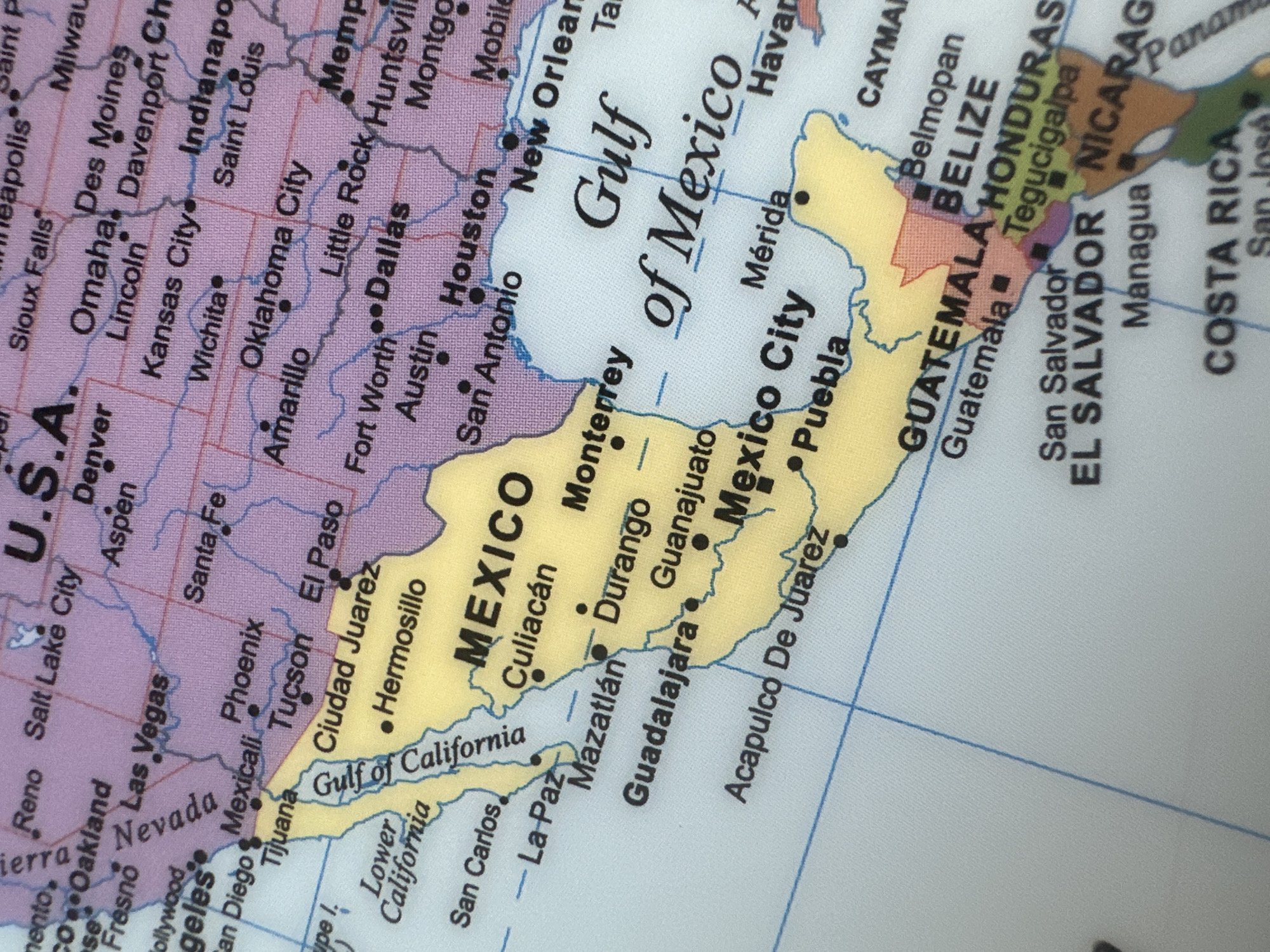
This media file is a close-up photograph of a map, showing parts of North and Central America, with a focus on Mexico and its surrounding regions. The map is colored with pastel shades, with political boundaries marked by thin blue lines. Prominent geographical features and cities are labeled in black text. Key areas depicted include the United States (labeled "U.S.A." with cities like Denver, Kansas City, and Houston), the Gulf of Mexico, and Mexico itself, with major cities such as Mexico City, Monterrey, Guadalajara, and Acapulco clearly visible. Further south, countries like Guatemala, Belize, Honduras, El Salvador, Nicaragua, and Costa Rica are also represented, with their capitals like Guatemala City, Belmopan, Tegucigalpa, San Salvador, Managua, and San José indicated. The map shows a clear division of landmasses and water bodies, with labels for "Gulf of California" and "Gulf of Mexico." The overall impression is of a detailed cartographic representation of the region. There are no people, objects, or discernible weather or time of day cues, as the image solely focuses on the printed map. The visible text consists of country names, city names, and geographical features. The provided location context of Varna, Bulgaria, is not directly observable from the image content itself.
No transactions found