Sign in
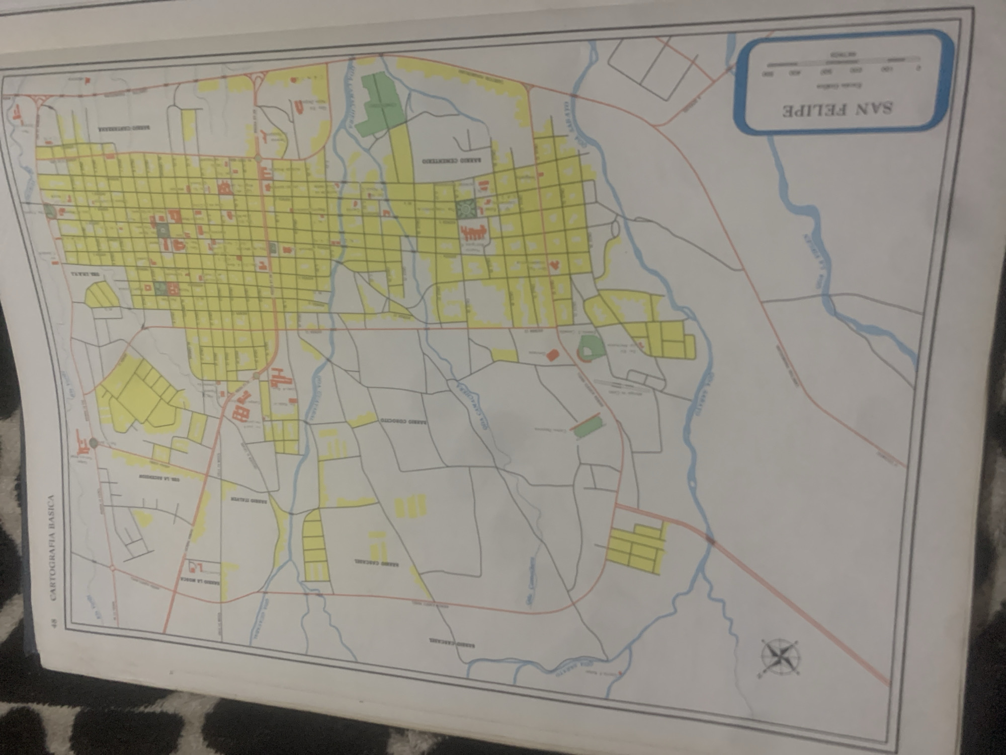
This is a photograph of a map of the city of San Felipe, Venezuela. The map is predominantly yellow and white with blue lines representing rivers and red lines representing roads. Several neighborhoods are labeled in Spanish, including "BARRIO CEMENTERIO," "BARRIO COROCIO," "BARRIO LA MOSCA," and "BARRIO CASCARE." The map also includes a scale bar with metric measurements and a compass rose. The image appears to be taken from a slightly elevated angle, with the bottom edge of the map visible. The map itself is laid out on a surface with a dark, patterned fabric visible beneath it. There is no indication of people, animals, or any specific time of day or weather conditions. The primary focus is the cartographic representation of the city.
bombolico

Jun 25, 2026, 2:20 PM

La Tagua, Venezuela

Stake attention in this memory

nostalgic
analytical
organized
curious
studious

This is a photograph of a map of the city of San Felipe, Venezuela. The map is predominantly yellow and white with blue lines representing rivers and red lines representing roads. Several neighborhoods are labeled in Spanish, including "BARRIO CEMENTERIO," "BARRIO COROCIO," "BARRIO LA MOSCA," and "BARRIO CASCARE." The map also includes a scale bar with metric measurements and a compass rose. The image appears to be taken from a slightly elevated angle, with the bottom edge of the map visible. The map itself is laid out on a surface with a dark, patterned fabric visible beneath it. There is no indication of people, animals, or any specific time of day or weather conditions. The primary focus is the cartographic representation of the city.

Loading AttnAds…

transactions
revenues
stakers
Earliest
Latest
Highest stake

No transactions found

More from this user

More from La Tagua

bombolico

Jun 25, 2026, 2:20 PM

La Tagua, Venezuela

Licensed under Creative Commons Attribution 4.0 International License. You are free to share and adapt this content with proper attribution.



