
Sign in
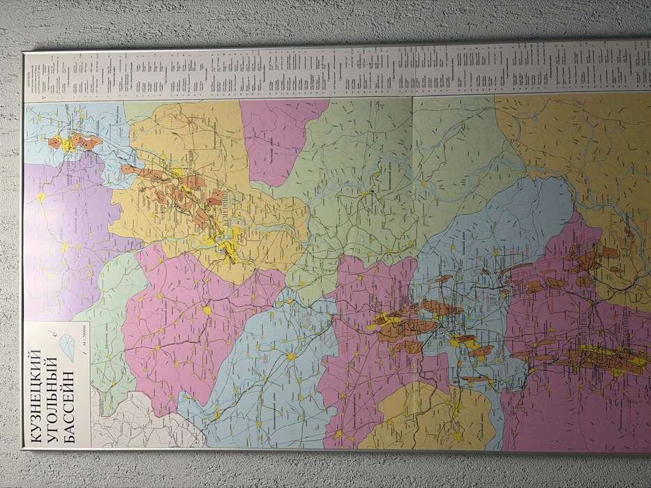
The image displays a framed, colorful map of the Kuznetsk Coal Basin (Kuznetsky Ugolny Bassein). Different colors indicate geological or regional divisions. Brown areas likely represent coal deposits or mining regions. The map contains numerous small towns and is overlaid with roads and rivers. At the top is a key to the symbols used in the map. The text at the bottom left states "Kuznetsk Coal Basin" in Russian.
My name is Oxy

Feb 12, 2026, 3:02 AM

Kemerovo, Russia

Stake attention in this memory

map
Kuznetsk Basin
geological
Russia
geography

The image displays a framed, colorful map of the Kuznetsk Coal Basin (Kuznetsky Ugolny Bassein). Different colors indicate geological or regional divisions. Brown areas likely represent coal deposits or mining regions. The map contains numerous small towns and is overlaid with roads and rivers. At the top is a key to the symbols used in the map. The text at the bottom left states "Kuznetsk Coal Basin" in Russian.

Loading AttnAds…

transactions
revenues
stakers
Earliest
Latest
Highest stake

No transactions found

More from this user

More from Kemerovo

My name is Oxy

Feb 12, 2026, 3:02 AM

Kemerovo, Russia

Licensed under Creative Commons Attribution 4.0 International License. You are free to share and adapt this content with proper attribution.