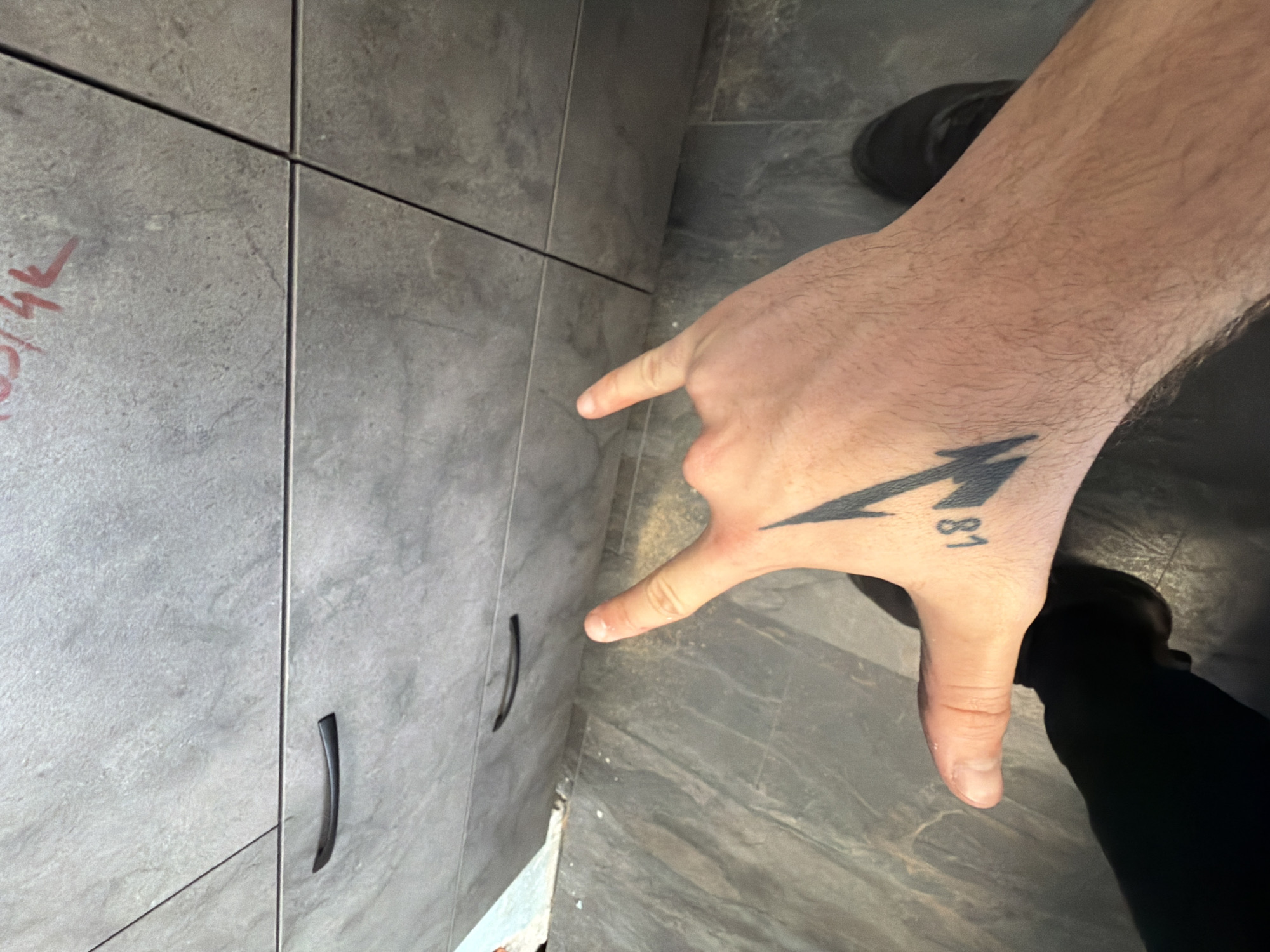
Stake attention in this memory
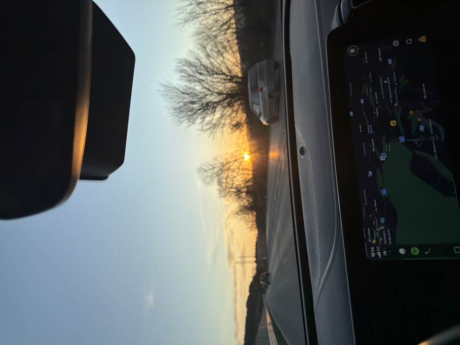
An interior vehicle perspective shows a highway scene at sunset in the vicinity of Pernik, Bulgaria. The sun, a bright orange orb, is low on the horizon, silhouetting bare-branched deciduous trees lining the right side of the road. The sky transitions from light blue overhead to warm orange and yellow near the horizon, with minimal cloud cover. The asphalt highway features multiple lanes and appears wet or reflective in areas illuminated by the sun. In the mid-ground, a silver hatchback vehicle is visible in the right lane, moving away from the viewer. Other vehicles are present in the distance on the left lane. A guardrail or barrier runs along the left side of the road. Elevated terrain is visible in the background to the left. The lower half of the image displays the vehicle's dark dashboard and a central digital infotainment screen. The screen shows a navigation map with Cyrillic text, clearly indicating "гр. Перник" (Pernik city), "Мещица" (Meshtitsa), and the E-79 highway, confirming the geographical location. The screen also displays the time as 18:14, a 5G network indicator, and a speed limit icon of "80" in the upper right corner. A portion of the vehicle's rearview mirror assembly is visible at the top of the frame. No individuals are depicted.
No transactions found