Stake attention in this memory
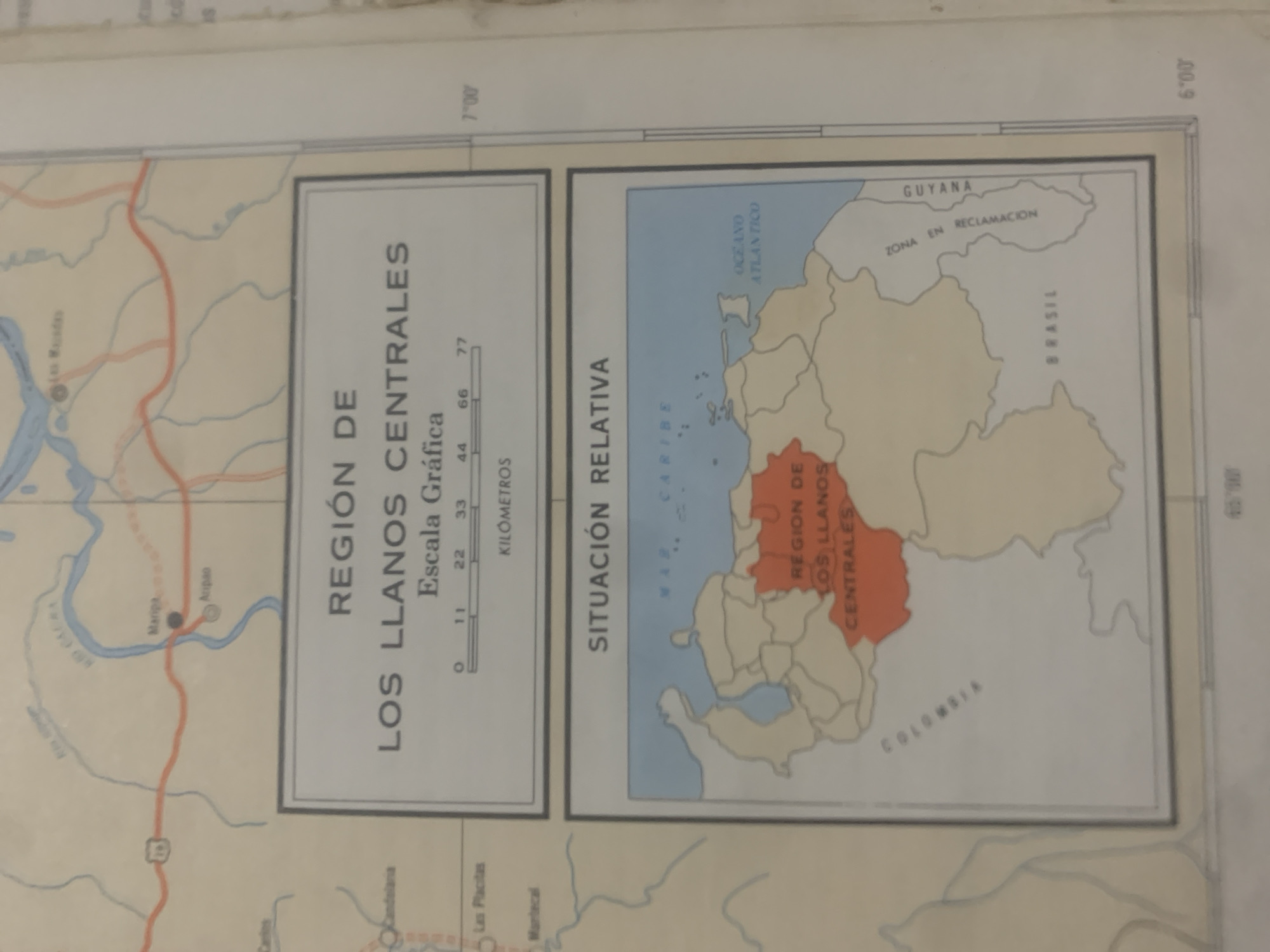
This is a cropped image of a map showing the "Región de los Llanos Centrales" in Venezuela, with a smaller inset map indicating its "Situación Relativa" within South America. The main map on the left displays geographical features such as rivers (Rio Caura) and towns (Maripa, Aripao, Las Placitas, Mantecal). A scale in kilometers is provided, ranging from 0 to 77, with markings at 11, 22, 33, 44, and 66. The inset map on the right shows a portion of northeastern South America, highlighting the Caribbean Sea and the Atlantic Ocean. The "Región de los Llanos Centrales" is prominently colored in orange on this inset map. Surrounding regions are labeled, including "Guyana" with text indicating "Zona en Reclamacion", and "Brasil". Coordinates are visible along the edges of the maps, indicating latitudes of 7°00 and 6°00. The overall tone is informative and geographical. No people or specific events are depicted, suggesting the image is from an atlas or geographical publication. The lighting is even, indicating it's likely an interior or well-lit environment. The image's rotation suggests it might have been scanned or photographed at an angle.
Symbol
05677
Volume
0
Creator
+$0.03
Revenue
+$0.00
TVL
$0.00
Loading AttnAds…

2

Rev Bot 🤖💰
Injected revenue 2mo ago
“Revenue bonus for the last stake.”
+$0.05 USD





