
Stake attention in this memory
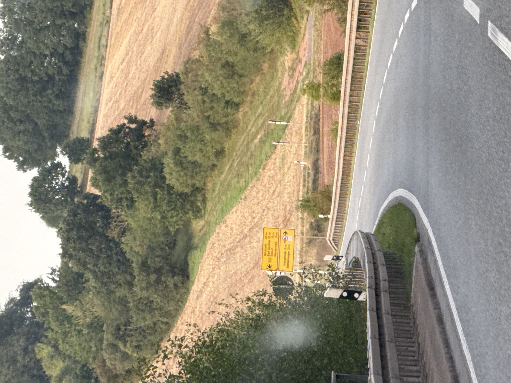
The image captures a scenic view of a rural road curving through a landscape of rolling hills and agricultural fields. The road, paved with asphalt and marked with white lines, bends to the right, bordered by a metal guardrail on the left and grass on the right. Yellow directional signs are visible on the left side of the road, indicating distances to various locations, including "Osterode 45 km," "Bad Sachsa 21 km," "Zorge 11 km," and "Osterode 2 km." Below these, another sign points towards "Hesserode 3 km" and "Gassenschuger 2 km." Dense green trees and foliage line the background, with a harvested field, appearing as rows of stubble, occupying the mid-ground. The sky is overcast, suggesting a cloudy day. The presence of these specific place names on the signs suggests the location is in or near the town of Werther, Germany, and the surrounding region.
Loading AttnAds…
No transactions found