Stake attention in this memory
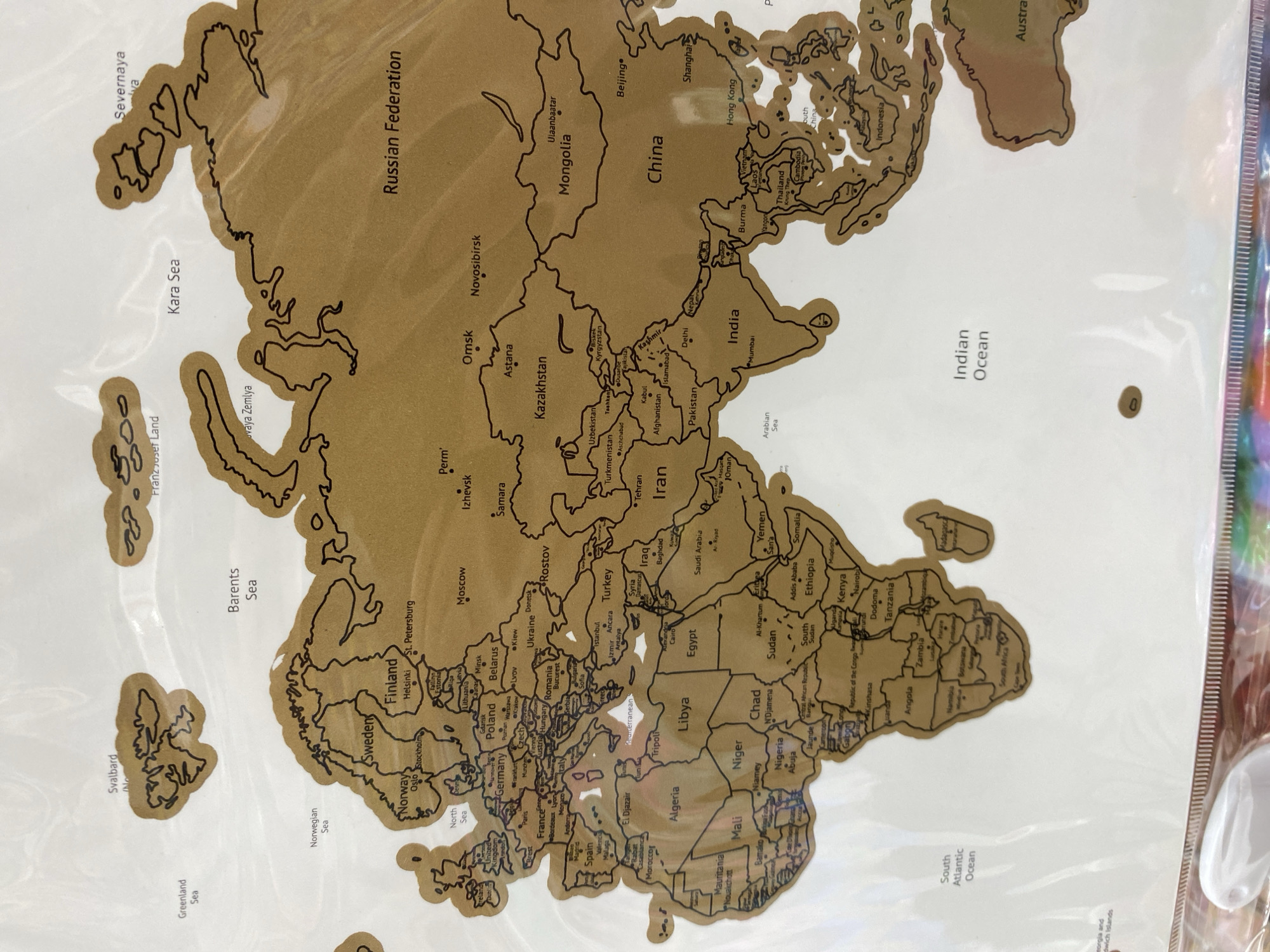
A close-up, overhead shot reveals a scratch-off world map, predominantly displaying Europe, Asia, and Africa. The map features a gold-colored surface with black outlines delineating countries and major geographical features. White backgrounds represent oceans, and black text labels various countries, cities, and bodies of water. The map is encased in a clear plastic sleeve, which shows some reflections and minor creases. Notable countries and regions visible include the Russian Federation, China, India, Kazakhstan, Iran, Saudi Arabia, Egypt, Libya, Sudan, Ethiopia, Kenya, South Africa, Germany, France, Spain, the United Kingdom, Sweden, Norway, and Finland. Prominent cities like Moscow, Beijing, Shanghai, Hong Kong, Mumbai, Delhi, Istanbul, Cairo, London, Paris, Madrid, and Rome are labeled. Seas such as the Kara Sea, Barents Sea, Mediterranean Sea, Arabian Sea, Indian Ocean, and South Atlantic Ocean are also identified. The map appears largely unscratched, with only a few small, irregular white patches (likely reflections or very minor abrasions) visible in the Mediterranean area and near South Africa. There are no people visible, and no specific activity is taking place other than the static display of the map. Hints of colorful material are visible along the right edge, likely part of the map's packaging. The photograph was taken in Dub, Montenegro.
No transactions found


