Stake attention in this memory
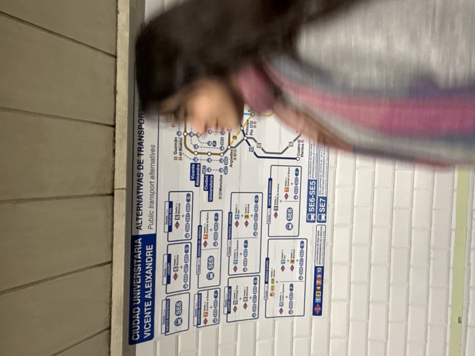
transit map
public transport
Spanish signage
metro station
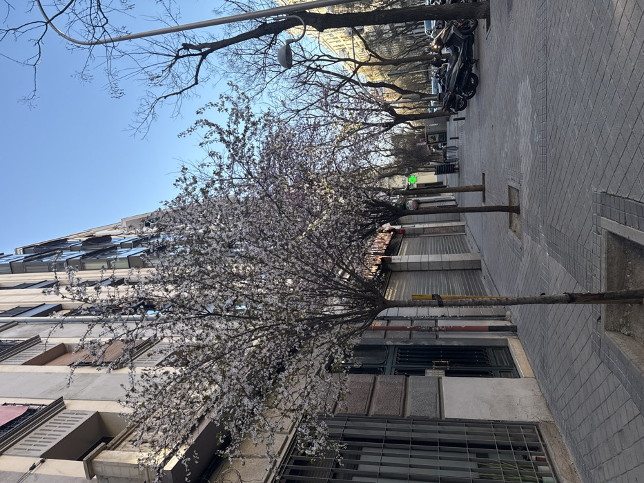
city navigation
The image shows a public transport alternatives map for Ciudad Universitaria and Vicente Aleixandre. It outlines bus routes and metro lines, indicating connections to various locations such as Guzmán el Bueno, Moncloa, Argüelles, Príncipe Pío, and Avenida de América. Bus lines SE6 and SE7 are prominently featured, with details on connections to destinations like Nuevos Ministerios, Legazpi, Gregorio Marañón, and Pacífico Atocha. Numbers such as 1, 3, 4, 7, 9, and 10 are also present, potentially referencing specific routes or services.
Symbol
06BF7
Volume
250
Creator
+$0.02
Revenue
+$0.00
TVL
$0.06
1D
1W
1M
All
Loading AttnAds…
transactions
revenues
stakers