Stake attention in this memory
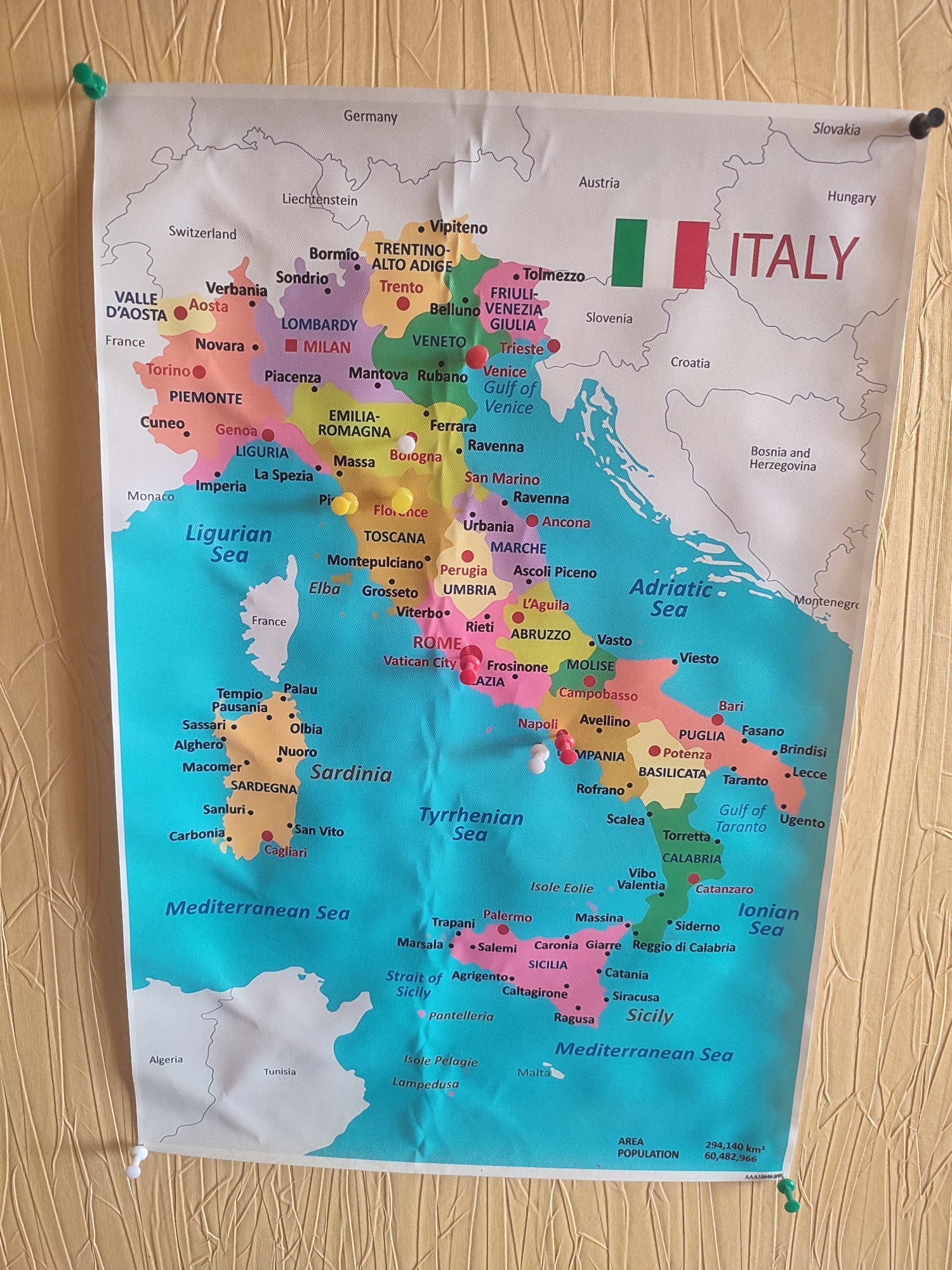
This media file is a photograph of a large map of Italy pinned to a textured wall, likely wallpaper. The map is colorful, with different regions of Italy outlined in distinct colors. Numerous pushpins are placed on the map, marking various cities and locations. The pushpins are red, white, yellow, and green, suggesting they represent different points of interest or travel destinations. The map also displays the names of major cities, regions, seas surrounding Italy, and neighboring countries such as Germany, Switzerland, Austria, Slovenia, Croatia, Bosnia and Herzegovina, and Algeria. Text on the map includes country names, city names, and geographical features, as well as statistics for area and population of Italy. The lighting suggests an indoor setting, possibly during the daytime. The overall impression is that of a travel enthusiast or student using the map for planning or educational purposes. The visible text is the OCR output provided.
No transactions found