Stake attention in this memory
sign
information
whalers bay
antarctica
deception island
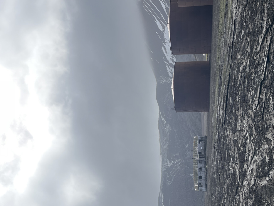
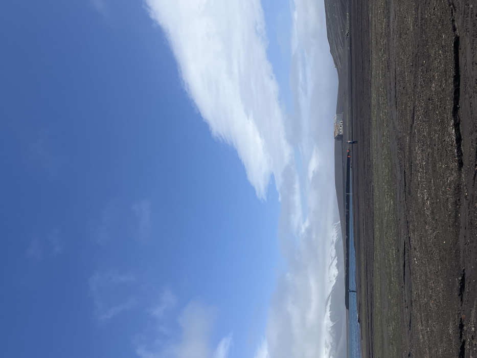
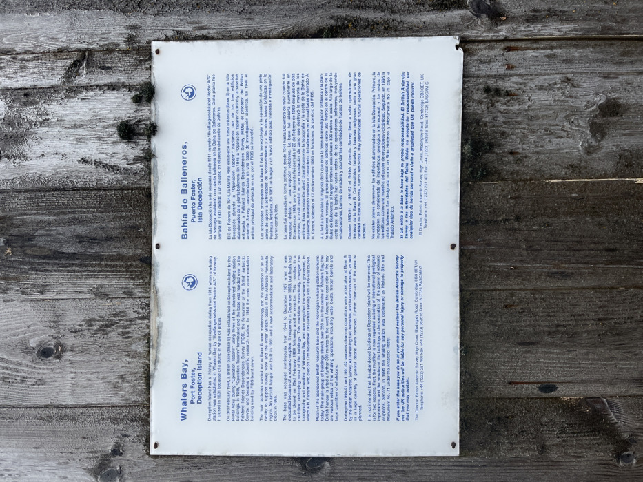
The informational sign details the history of Whalers Bay, Port Foster, and Deception Island. It mentions the Norwegian whaling station established in 1911, its closure in 1931, and the British base (Base B) established during "Operation Tabarin" in 1944. The sign describes the activities, volcanic eruptions that impacted the base, and clean-up operations. It explains why the abandoned buildings remain and warns visitors about entering at their own risk. Contact information for the British Antarctic Survey is provided. The same information is written in Spanish on the other half of the sign.
Symbol
07C93
Volume
10,622
Creator
+$0.18
Revenue
+$0.70
TVL
$11.15
1D
1W
1M
All
transactions
revenues
stakers