Stake attention in this memory
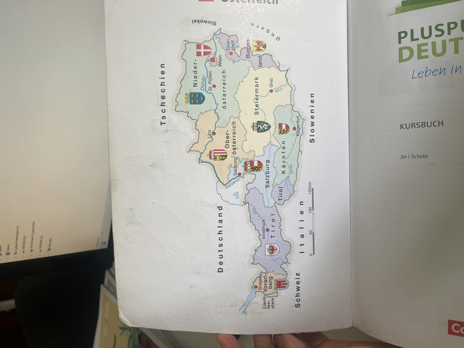
The image shows a map of Austria with its bordering countries. The map is displayed on a table in Wien, Austria. The map shows the nine states of Austria, each marked with their coat of arms and their name. There is a red pin in the center of the map representing the location of Wien. The map is labeled with the names of the states in German, including "Niederösterreich", "Wien", "Steiermark", "Kärnten", "Salzburg", "Tirol", "Vorarlberg", "Burgenland", and "Oberösterreich". The map is also labeled with the names of the bordering countries in German, including "Deutschland", "Tschechien", "Slowakei", "Ungarn", "Italien", "Schweiz", and "Slowenien". The map also contains a scale bar for measuring distances in kilometers. The image was captured in a bright, well-lit environment. The map is white with colored borders for each state and country. There are no people in the image. There are no other objects in the image.
No transactions found