
Stake attention in this memory
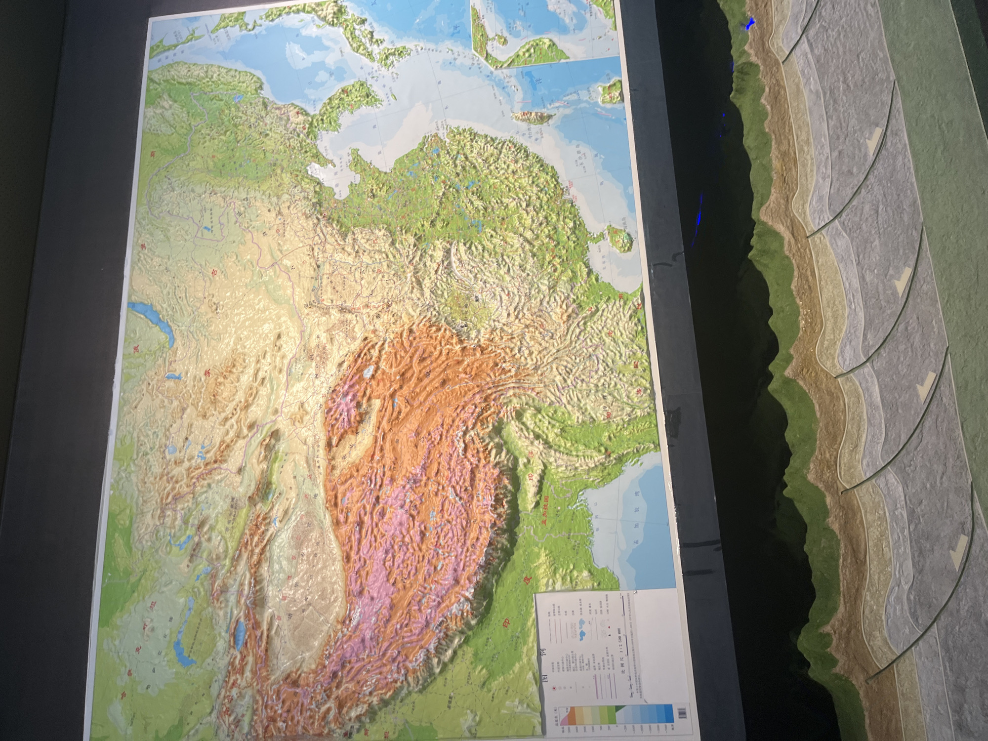
This is a detailed, three-dimensional topographic map of China, displayed on a wall, likely in a museum or educational institution. The map accurately depicts the varied topography of the country, with pronounced elevation differences. The mountainous regions, such as the Himalayas, are shown in raised relief with vibrant colors, while plains and bodies of water are also clearly differentiated. A legend and scale bar are visible in the lower left corner of the map, providing information about elevation and scale (1:2,500,000). Below the main map, a cross-section model illustrates geological strata and tectonic activity, showcasing layers of rock formations and fault lines with arrows indicating directional movement. The overall presentation suggests an educational exhibit designed to explain China's geography and geology. The context provided suggests this is located in Nan'an District, China.
Loading AttnAds…
No transactions found