Stake attention in this memory
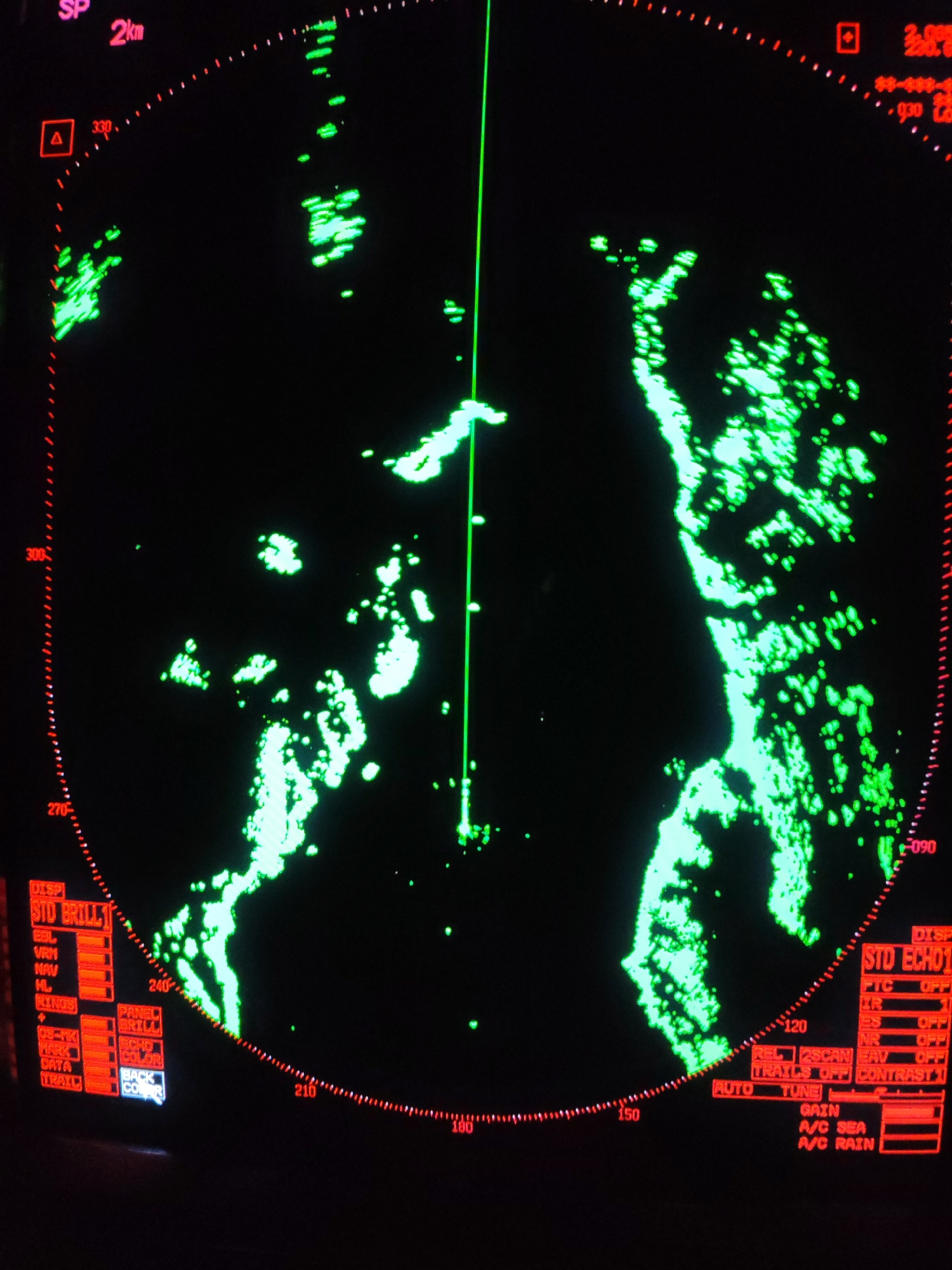
A radar display screen, likely from a marine vessel, is shown against a black background, illuminated with bright green radar returns and red text and numerical readouts. The main subject is the circular radar scope, which features scattered and dense green shapes indicating landmasses or other significant objects. A prominent vertical green line extends from the center towards the top, likely representing the vessel's heading or a bearing line. The display includes red radial markings for bearings, with numbers such as "330," "300," "270," "240," "210," "180," "150," "120," and "090" visible around the perimeter. In the upper left, "SP" and "2km" indicate the range scale. Additional numerical data, including "2.00S," "88-888-," and "030," appear in the upper right. Red graphical icons, such as a square with a triangle and another red square, are also present. On the lower left and right portions of the screen, various radar settings and display options are shown in red text. These include: * "DISP STD BRILL 1" with sub-options like "EBL," "VRM," "NAV," "HL," "RINGS," "08-TK," "MARK," "DATA," "TRAIL," "PANEL BRILL," "ECHO COLOR," and "BACK CO(LOR)". * "DISP STD ECHO 1" with settings such as "FTC OFF," "IR," "ES OFF," "NR OFF," "REL 2SCAN EAV," "TRAILS OFF," "CONTRAST 1," "AUTO TUNE," "GAIN," "A/C SEA," and "A/C RAIN." The green radar echoes suggest navigation in an area with irregular landforms, possibly a coastline or islands. No people are visible, and the time of day is not discernible from the image, though the presence of "A/C SEA" and "A/C RAIN" settings indicates the system's ability to operate in various weather conditions. The overall scene depicts a functional nautical navigation interface. The location context provided is Vorob'evo, Russia.
No transactions found