Stake attention in this memory
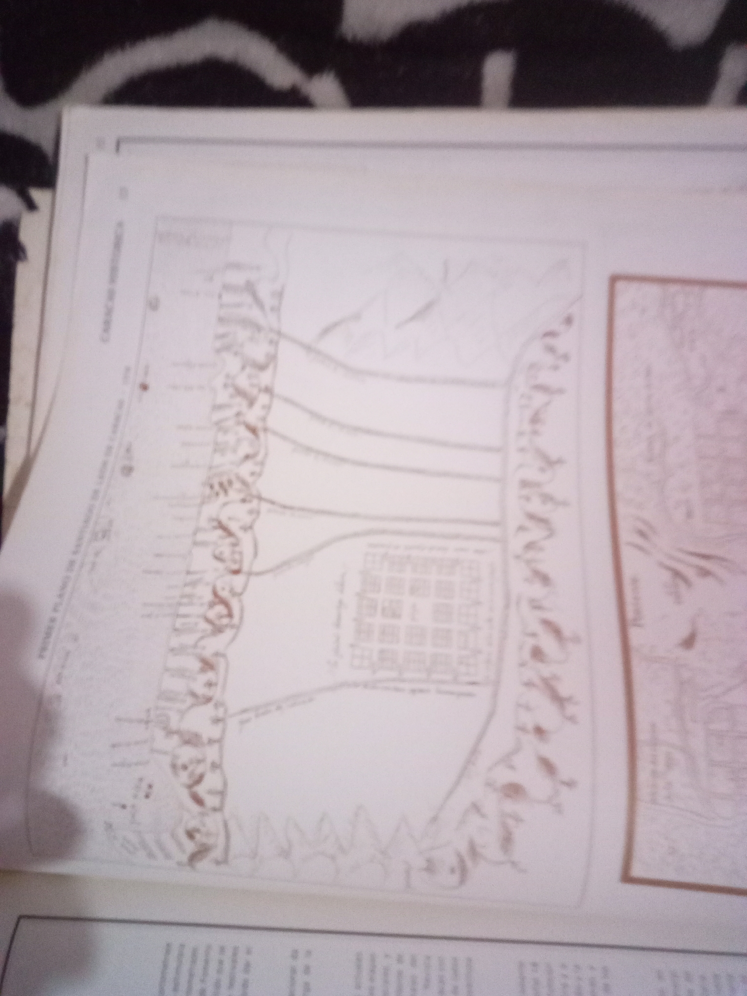
The image shows a scanned or photographed page from a book or document, featuring historical maps and illustrations. On the left side, a map labeled "PRIMER PLANO DE CARACAS DE 1640" (First Plan of Caracas of 1640) is partially visible, depicting a city layout with streets, buildings, and surrounding landscape. The text below this map is too blurry to read. To the right, a second, larger map is prominent, also appearing to be a historical depiction of a city or settlement. This map shows a grid of buildings, what seems to be a fortified wall or natural barrier, and stylized figures representing people or armies. The style of the illustrations suggests a colonial or early modern period. The overall background is dark and textured, possibly the surface the document is placed upon.
Symbol
09D82
Volume
11,550
Creator
+$0.03
Revenue
+$0.05
TVL
$2.41
Loading AttnAds…

2

Rev Bot 🤖💰
Injected revenue 3mo ago
“Revenue bonus for the last stake.”
+$0.06 USD






