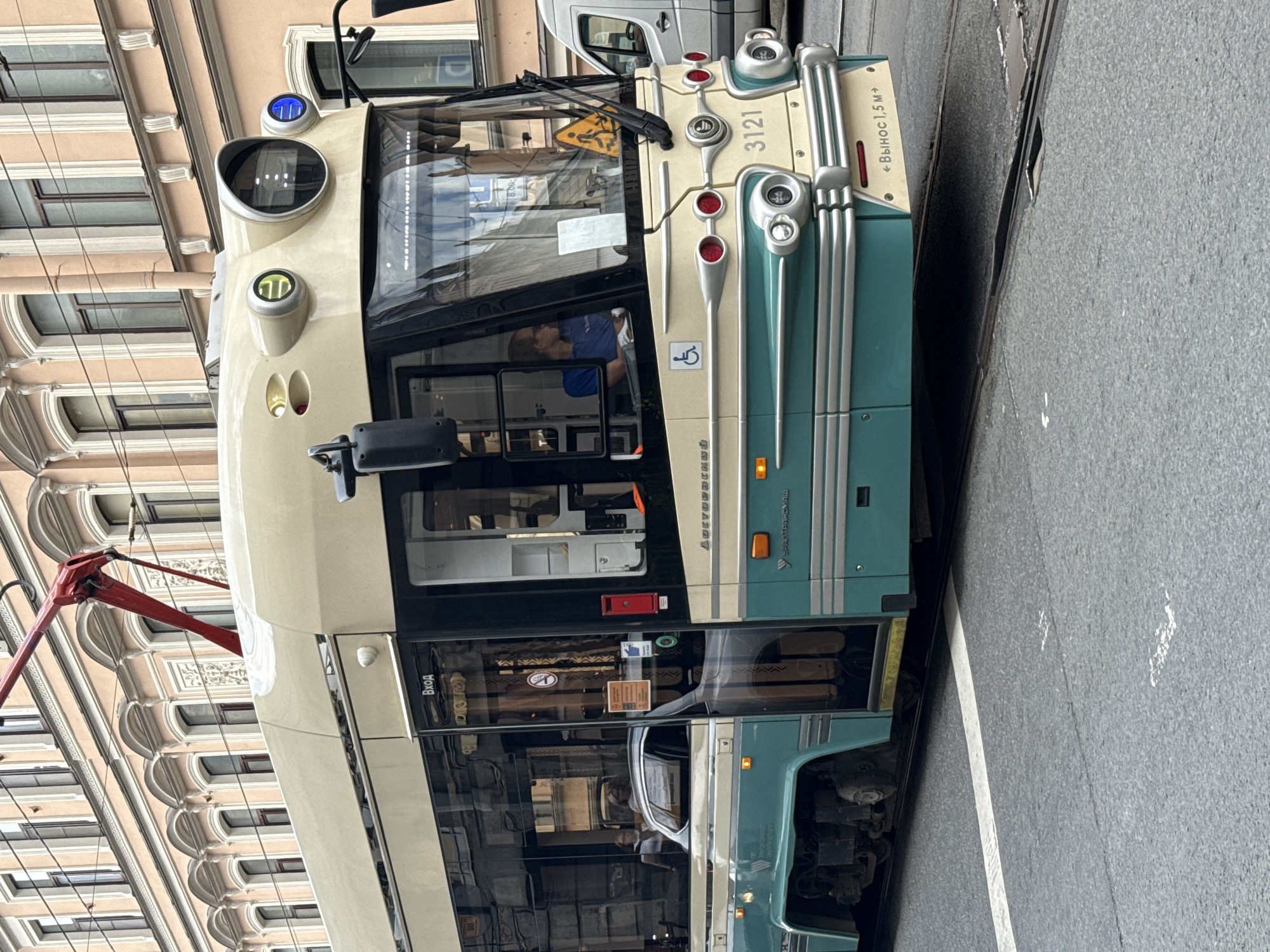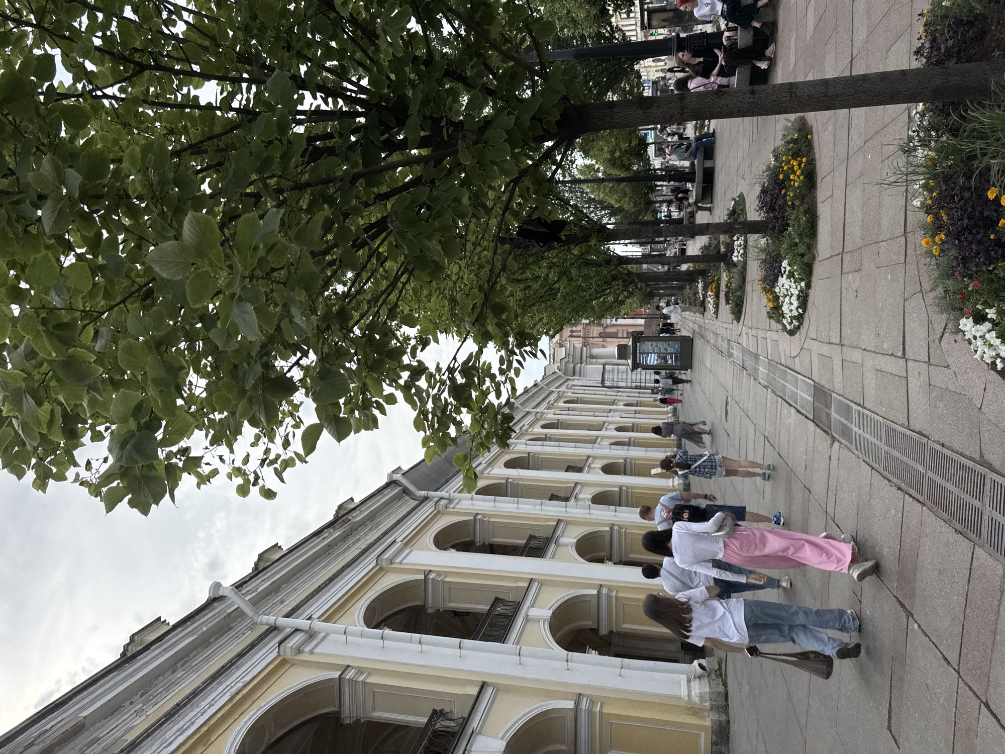
Stake attention in this memory
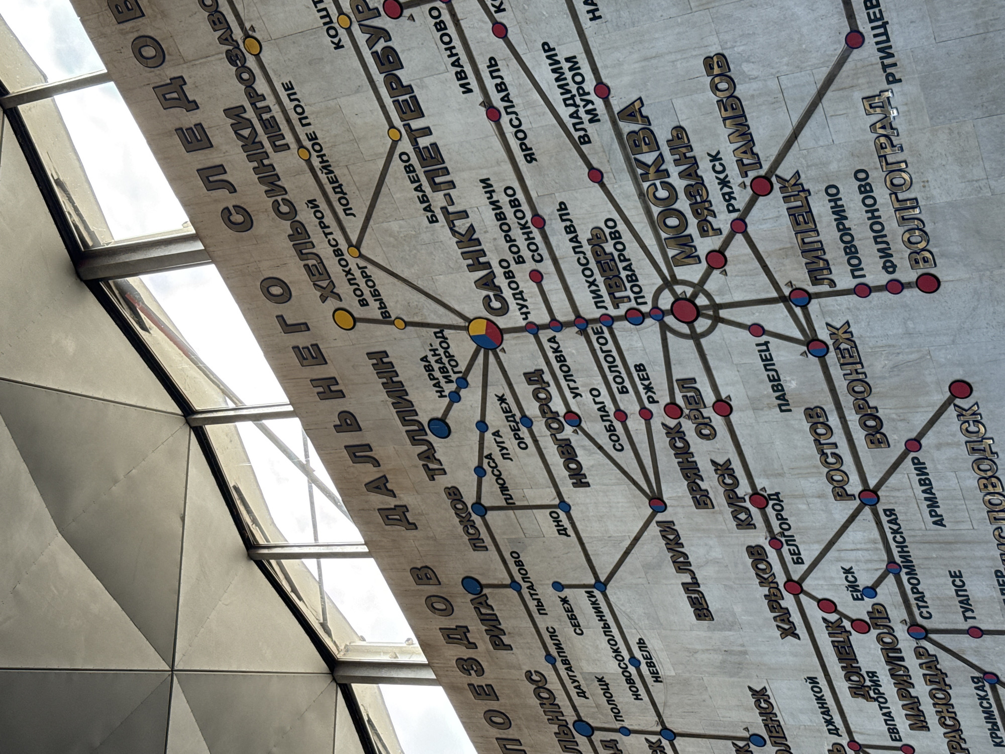
The image depicts a large, textured map mounted on a wall, likely indoors. The map is a schematic representation of railway routes, featuring city names in a stylized, metallic font and colored circles representing stations. The dominant colors are beige for the background, dark brown for the lines and text, and blue and red for the station markers. The lighting suggests an ambient indoor environment, possibly with natural light from windows, as indicated by the bright, diffused light at the top of the image. The perspective is from below, looking up at the wall-mounted map. The overall impression is of a functional, perhaps slightly dated, public information display. The text on the map, in Cyrillic script, indicates various cities and railway lines, suggesting a focus on the transportation network of Russia and potentially neighboring countries. Some of the legible city names include MOSKVA, SANKT-PETERBURG, NOVGOROD, ROSTOV, and YAROSLAVL. The style of the map and the architectural elements visible at the top, particularly the geometric ceiling panels, suggest a large public building such as a train station or a transportation museum. Without explicit signage identifying the location, it is difficult to pinpoint a specific place within Saint Petersburg, Russia. However, the presence of "SANKT-PETERBURG" prominently displayed on the map strongly suggests the map is located in or pertains to this city's railway network.
No transactions found