Stake attention in this memory
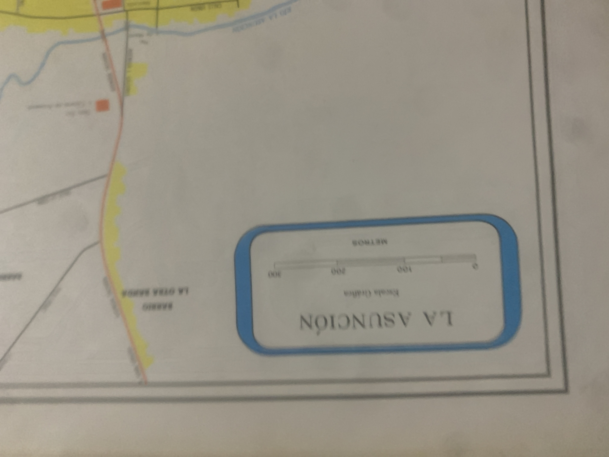
This is a close-up, slightly blurry photograph of a map fragment, likely taken from a printed document. The map depicts a section of "LA ASUNCIÓN," labeled in large, bold, and inverted text. Below this title is a graphic scale indicating "METROS" with markings for 0, 100, 200, and 300. The scale bar is also depicted as a horizontal line. Further details visible on the map include a body of water labeled "RIO LA ASUNCION," indicating a river. There are also street or road lines, some colored red and others gray, suggesting different types of thoroughfares. One area is marked as "BARRIO LA OTRA BANDA," meaning "The Other Side Neighborhood." Some areas are highlighted with yellow coloring, possibly denoting residential zones or parks. Two small orange rectangular shapes are present on the map, which could represent buildings or points of interest. The overall scene is a portion of a cartographic representation of a geographical area. There are no people, animals, or indications of specific time of day or weather conditions. The location is identified as La Tagua, Venezuela, though this context is not directly visible within the image itself but is provided as external information. The photograph is taken from an angle, and the focus is not perfectly sharp, but the key textual elements and cartographic features are discernible.
Loading AttnAds…
No transactions found





