Stake attention in this memory
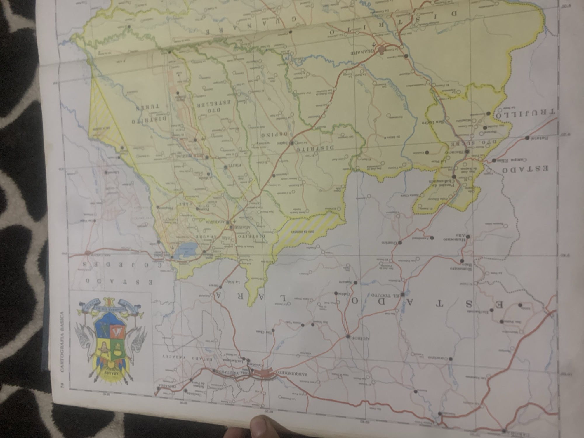
This media file is a photograph of a map of Venezuela, specifically the states of Cojedes, Portuguesa, Lara, Trujillo, and Yaracuy. The map is oriented with north towards the top and east to the right. It displays political boundaries, cities, towns, roads, and geographical features like rivers. Prominent text includes names of states (ESTADO COJEDES, ESTADO YARACUY, ESTADO TRUJILLO, ESTADO PORTUGUESA), districts (DISTRITO TUREN, DTO. ESTELLER, DTO. SUCRE), and cities (GUANARE, ARAURE, ACARIQUA, BISCUCUY, SAN ISIDRO, GUANARE, OSPINO, EL TOCUYO, BARQUISIMETO). A coat of arms for the municipality of ARAURE is visible in the lower left corner. The map is likely a printed document, as evidenced by the paper texture and the slight curvature, suggesting it might be folded. The lighting suggests an indoor environment, possibly with natural light coming from the side. The primary subject is the map itself, providing geographical information about a region in Venezuela.
Loading AttnAds…
No transactions found





