Stake attention in this memory
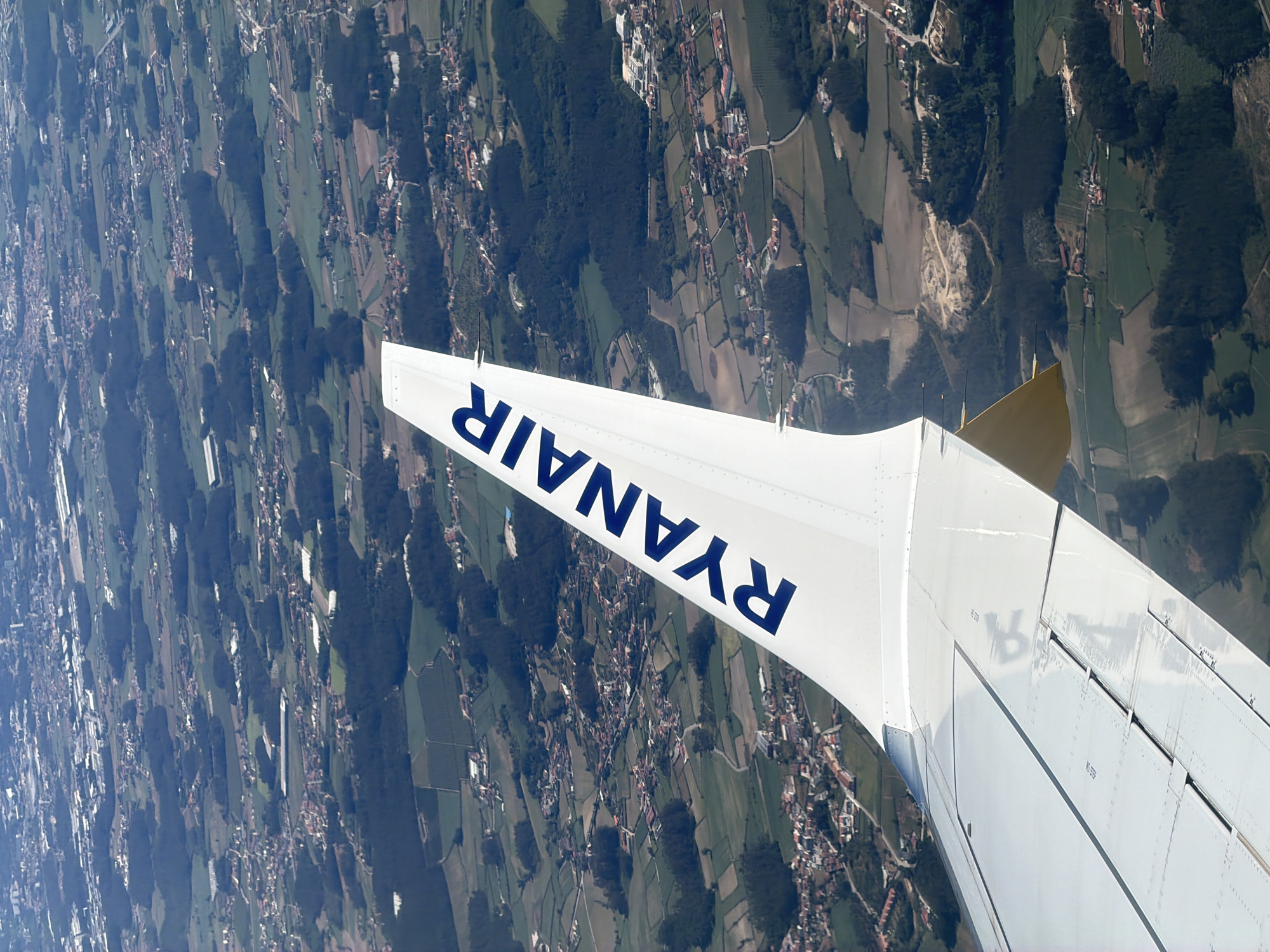
The image is an aerial photograph taken from an airplane, focusing on the wing of the aircraft which displays the "RYANAIR" logo in blue letters. The wing is white and extends diagonally from the bottom left to the top right of the frame. Below and beyond the wing, a landscape unfolds, characterized by a patchwork of green fields, scattered houses with red-tiled roofs, and dark green patches of trees. This rural scenery suggests a location in the outskirts of a populated area. Based on geographical analysis and the visible landscape features, the scene is identified as being over Vila do Conde, Portugal. Specifically, the arrangement of agricultural fields, the density of housing in small clusters, and the presence of wooded areas are consistent with the terrain found in the municipality of Vila do Conde. The image captures a moment in time during an airplane's descent or ascent, offering a perspective of the land from above. There are no people or specific actions clearly depicted within the frame, other than the implied movement of the aircraft. The environment is a mix of natural and developed elements, typical of a semi-rural area transitioning towards urban development.
No transactions found