
Stake attention in this memory
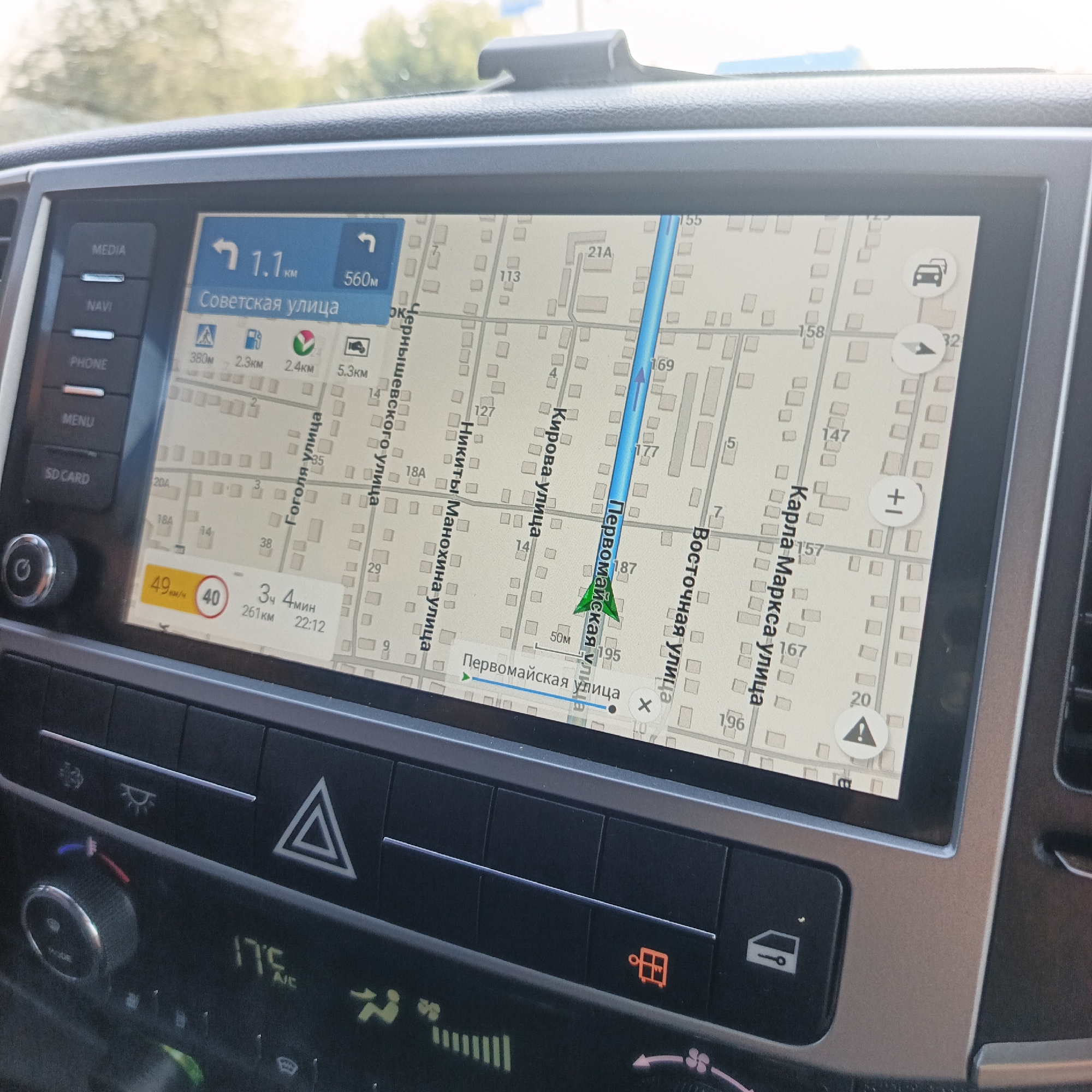
The image shows a car's infotainment system displaying a navigation map. The map shows streets with building outlines and street names in Russian. The current location is indicated by a blue arrow, and a route is highlighted in blue. The system displays the current speed as 49 km/h, with a speed limit of 40 km/h shown in a red circle. It also shows the estimated time of arrival (4 hours and 4 minutes) and distance (261 km) remaining, along with the current time (22:12). The car's climate control panel is visible below the infotainment screen. It features temperature display showing 17.5°C, various climate control buttons, and a hazard light button. Based on the street names visible on the map, such as "Советская улица" (Sovetskaya Street), "Первомайская улица" (Pervomayskaya Street), "Кирова улица" (Kirova Street), "Никиты Махонина улица" (Nikity Makhonina Street), "Чернышевского улица" (Chernyshevskogo Street), "Гоголя улица" (Gogolya Street), "Восточная улица" (Vostochnaya Street), and "Карла Маркса улица" (Karl Marx Street), this scene is likely in the city of Kambarka, Russia, as these are prominent street names in that city. The presence of Cyrillic script on the map further confirms a Russian context.
Loading AttnAds…
No transactions found