Sign in
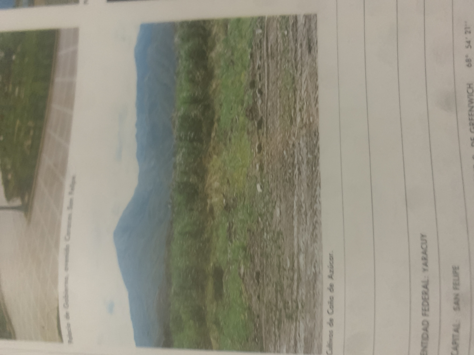
This is a photograph of a natural landscape in Venezuela, likely taken during the day. The image features a prominent mountain range in the background, partially obscured by a hazy, light-colored sky. In the foreground, there is a mix of green vegetation and dry, barren land with visible tire tracks, suggesting it might be a rural or undeveloped area.

On the left side of the image, a paved area with a brick pattern is visible, possibly a walkway or plaza, with some green foliage in the distance. To the right of this, the terrain transitions to the grassy slopes of the mountain.

The text visible in the image provides context about the location and its features. It mentions "Cultivos de Caño de Azúcar," which translates to "Sugarcane Creek Cultivations," indicating the presence of sugarcane farming in the area. Further down, it states "ENTIDAD FEDERAL: YARACUY" and "CAPITAL: SAN FELIPE," identifying the federal entity as Yaracuy and its capital as San Felipe. Another line of text appears to be geographical coordinates, reading "68° 54' 21''," and "GREENWICH," likely referring to the Greenwich Meridian. The presence of this information suggests the photograph is part of a document, report, or collection that details geographical and agricultural aspects of the region. The overall impression is one of a remote, mountainous area with agricultural activity.
bombolico

Jun 25, 2026, 2:20 PM

La Tagua, Venezuela

Short Term

Stake attention in this memory

serene
calm
peaceful
natural
vast

This is a photograph of a natural landscape in Venezuela, likely taken during the day. The image features a prominent mountain range in the background, partially obscured by a hazy, light-colored sky. In the foreground, there is a mix of green vegetation and dry, barren land with visible tire tracks, suggesting it might be a rural or undeveloped area. On the left side of the image, a paved area with a brick pattern is visible, possibly a walkway or plaza, with some green foliage in the distance. To the right of this, the terrain transitions to the grassy slopes of the mountain. The text visible in the image provides context about the location and its features. It mentions "Cultivos de Caño de Azúcar," which translates to "Sugarcane Creek Cultivations," indicating the presence of sugarcane farming in the area. Further down, it states "ENTIDAD FEDERAL: YARACUY" and "CAPITAL: SAN FELIPE," identifying the federal entity as Yaracuy and its capital as San Felipe. Another line of text appears to be geographical coordinates, reading "68° 54' 21''," and "GREENWICH," likely referring to the Greenwich Meridian. The presence of this information suggests the photograph is part of a document, report, or collection that details geographical and agricultural aspects of the region. The overall impression is one of a remote, mountainous area with agricultural activity.

Symbol

0C9E4

Volume

11,550

Creator

+$0.08

Revenue

+$0.10

TVL

$7.24

1D
1W
1M
All

Loading AttnAds…

transactions
revenues
stakers
Earliest
Latest
Highest stake

1

Katy

Staked 11d ago

$7.21 USD

+$0.03 USD

+0.4%

2

Rev Bot 🤖💰

Injected revenue 11d ago

Revenue bonus for the last stake.

+$0.12 USD

More from this user

More from La Tagua

bombolico

Jun 25, 2026, 2:20 PM

La Tagua, Venezuela

Licensed under Creative Commons Attribution 4.0 International License. You are free to share and adapt this content with proper attribution.





