Sign in
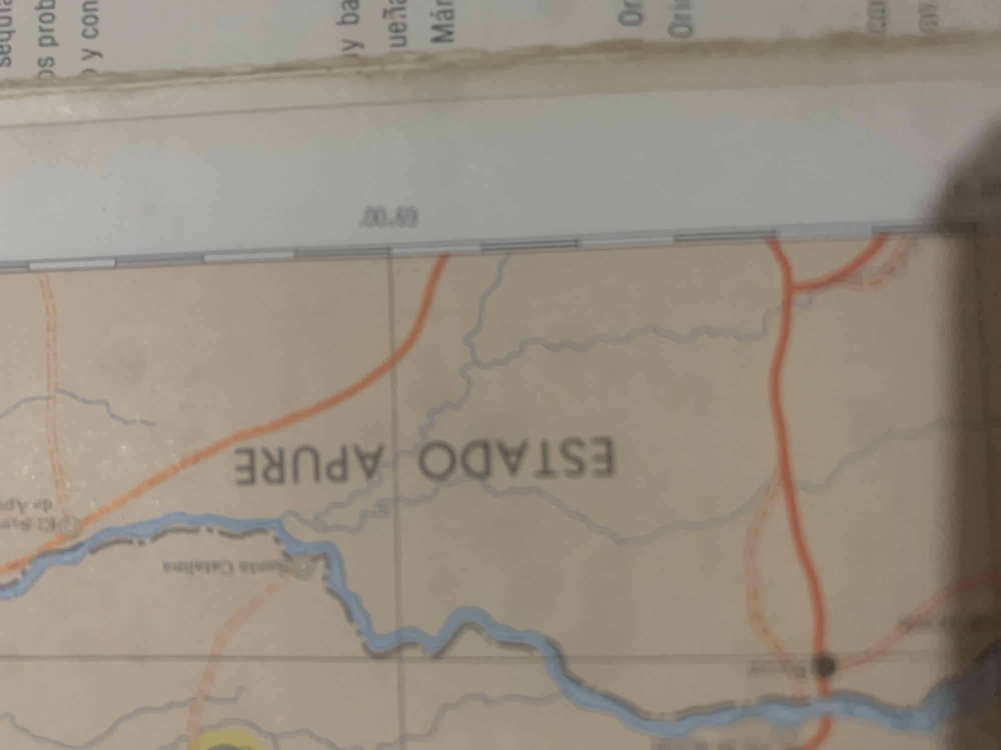
The image is a close-up, angled shot of a map, likely a portion of a road map or geographical atlas. The map depicts rivers, roads (indicated by orange lines), and some place names. The text "ESTADO APURE" is prominently displayed in large, faded gray letters across the center of the map, indicating a state in Venezuela. Below and to the left of this, "Santa Catalina" is visible in smaller gray text, along with "de Ap" and "Sam" which might be parts of place names. At the top of the image, blurred text in what appears to be Spanish is present, with snippets like "sequra", "os prob", and "y con" visible, possibly related to geographic features or conditions like "sequía" (drought), "prob" (probable), and "con" (with). Another section of text reads "y ba", "ueña", and "Már", possibly part of words like "bay" or "bañadas" and "Márquez" or similar. Further to the right, "Or" and "Orie" are visible, likely abbreviations for "Oriente" or "Oriental". A numerical notation "00.69" is also present. The map itself shows a meandering blue river and an orange line representing a road. The overall lighting suggests it's an indoor setting, possibly a desk or table where the map is laid out. There are no people or specific activities depicted, the focus is purely on the map's content. The worn appearance of the paper and the fading of the text suggest the map is not new.
bombolico

Jun 25, 2026, 2:46 PM

La Tagua, Venezuela

BLOCKED

Stake attention in this memory

curiosity
analytical
focused
informative
observational

The image is a close-up, angled shot of a map, likely a portion of a road map or geographical atlas. The map depicts rivers, roads (indicated by orange lines), and some place names. The text "ESTADO APURE" is prominently displayed in large, faded gray letters across the center of the map, indicating a state in Venezuela. Below and to the left of this, "Santa Catalina" is visible in smaller gray text, along with "de Ap" and "Sam" which might be parts of place names. At the top of the image, blurred text in what appears to be Spanish is present, with snippets like "sequra", "os prob", and "y con" visible, possibly related to geographic features or conditions like "sequía" (drought), "prob" (probable), and "con" (with). Another section of text reads "y ba", "ueña", and "Már", possibly part of words like "bay" or "bañadas" and "Márquez" or similar. Further to the right, "Or" and "Orie" are visible, likely abbreviations for "Oriente" or "Oriental". A numerical notation "00.69" is also present. The map itself shows a meandering blue river and an orange line representing a road. The overall lighting suggests it's an indoor setting, possibly a desk or table where the map is laid out. There are no people or specific activities depicted, the focus is purely on the map's content. The worn appearance of the paper and the fading of the text suggest the map is not new.

Symbol

0CD96

Volume

0

Creator

+$0.09

Revenue

+$0.00

TVL

$0.00

1D
1W
1M
All

Loading AttnAds…

transactions
revenues
stakers
Earliest
Latest
Highest stake

1

Ramón

Staked 11d ago
Redeemed 10d ago

$6.89 USD

+$0.03 USD

Fee: $0.07 (1%)

+0.5%

2

Rev Bot 🤖💰

Injected revenue 11d ago

Revenue bonus for the last stake.

+$0.19 USD

More from this user

More from La Tagua

bombolico

Jun 25, 2026, 2:46 PM

La Tagua, Venezuela

Licensed under Creative Commons Attribution 4.0 International License. You are free to share and adapt this content with proper attribution.





