Sign in
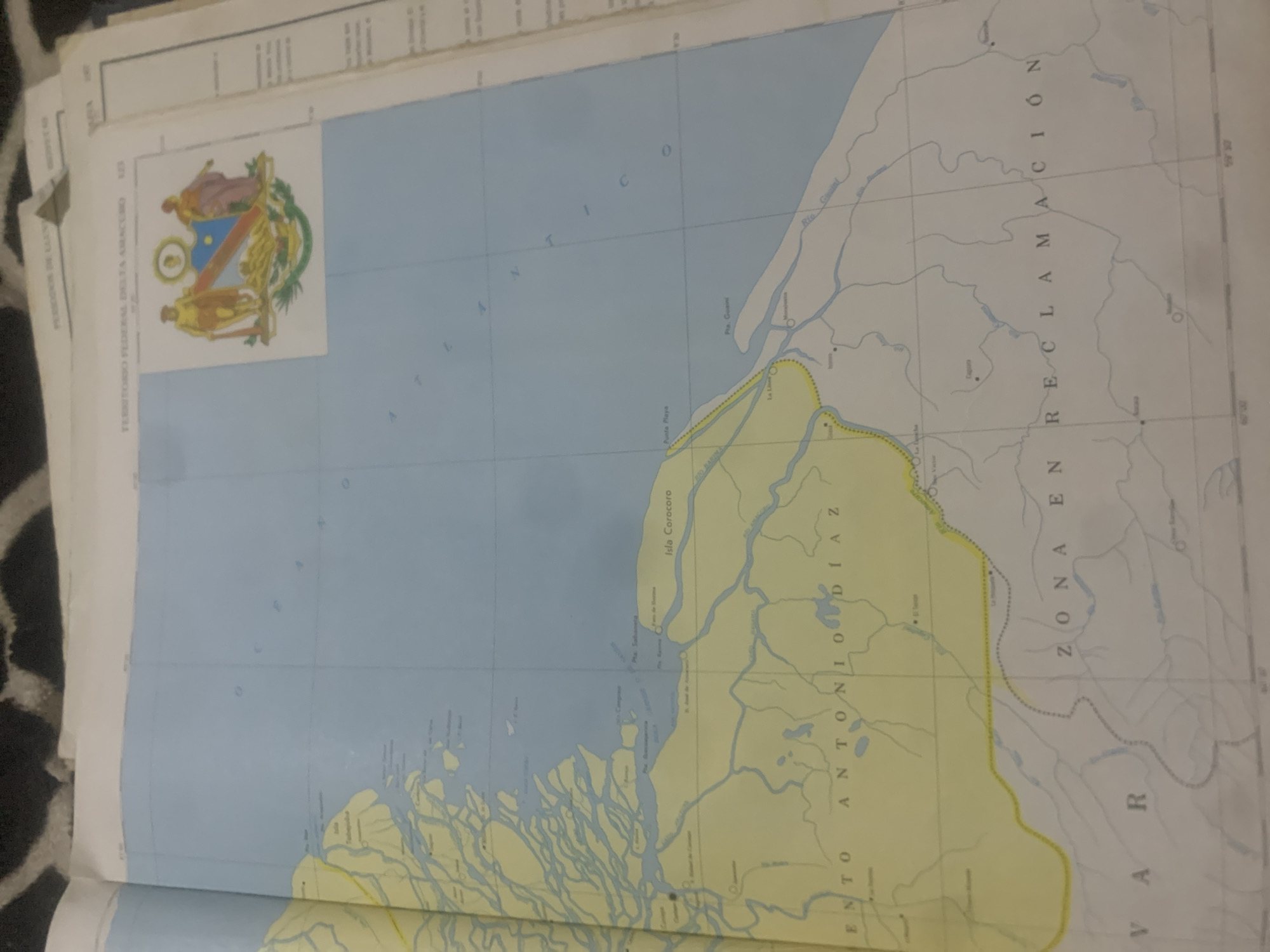
The image is a photograph of an open book displaying a map. The map shows a body of water on the left, with a complex network of rivers and islands. On the right side of the map, there is land with more rivers and a dashed line indicating a border.

The subjects are primarily the map itself, which is an object. There are no visible people. The scene is a map of a geographical area, likely a delta region given the intricate waterways. The setting appears to be indoors, with the map lying flat.

There is no specific activity or event taking place, as it is a still image of a map.

Notable details include text on the map. Horizontally, the text "TERRITORIO FEDERAL DELTA AMACURO" is visible. Vertically, the text "ZONA EN RECLAMACIÓN" and "VAR" are present. There are also labels for geographical features such as "Isla Corocoro" and river names like "Río Guainí." The map is colored with blue for water and yellow for the disputed "ZONA EN RECLAMACIÓN." The time of day and weather are not discernible from the image. The location context of La Tagua, Venezuela, is provided, which would relate to the geographical area depicted on the map.
bombolico

Jun 25, 2026, 2:42 PM

La Tagua, Venezuela

BLOCKED

Stake attention in this memory

nostalgic
analytical
serious
studious
historical

The image is a photograph of an open book displaying a map. The map shows a body of water on the left, with a complex network of rivers and islands. On the right side of the map, there is land with more rivers and a dashed line indicating a border. The subjects are primarily the map itself, which is an object. There are no visible people. The scene is a map of a geographical area, likely a delta region given the intricate waterways. The setting appears to be indoors, with the map lying flat. There is no specific activity or event taking place, as it is a still image of a map. Notable details include text on the map. Horizontally, the text "TERRITORIO FEDERAL DELTA AMACURO" is visible. Vertically, the text "ZONA EN RECLAMACIÓN" and "VAR" are present. There are also labels for geographical features such as "Isla Corocoro" and river names like "Río Guainí." The map is colored with blue for water and yellow for the disputed "ZONA EN RECLAMACIÓN." The time of day and weather are not discernible from the image. The location context of La Tagua, Venezuela, is provided, which would relate to the geographical area depicted on the map.

Symbol

0D13B

Volume

0

Creator

+$0.09

Revenue

+$0.00

TVL

$0.00

1D
1W
1M
All

Loading AttnAds…

transactions
revenues
stakers
Earliest
Latest
Highest stake

1

Ramón

Staked 10d ago
Redeemed 7d ago

$7.23 USD

+$0.03 USD

Fee: $0.02 (0.25%)

+0.5%

2

Rev Bot 🤖💰

Injected revenue 10d ago

Revenue bonus for the last stake.

+$0.14 USD

More from this user

More from La Tagua

bombolico

Jun 25, 2026, 2:42 PM

La Tagua, Venezuela

Licensed under Creative Commons Attribution 4.0 International License. You are free to share and adapt this content with proper attribution.





