Stake attention in this memory
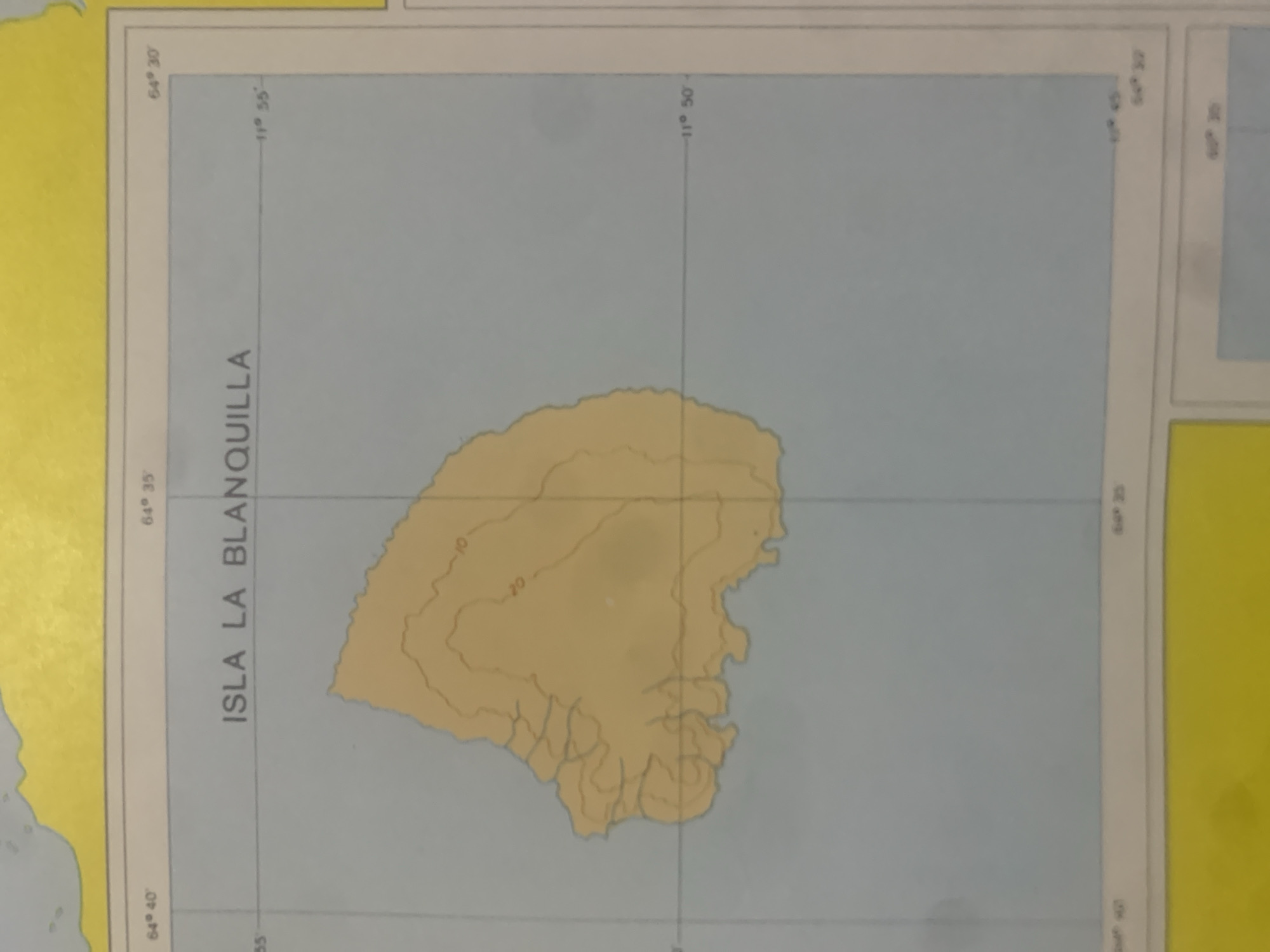
This is a close-up, slightly angled, rotated shot of a nautical chart depicting Isla La Blanquilla, an island in Venezuela. The chart shows the island in a light yellow-brown color with contour lines indicating elevation, with labels "10" and "20" visible. The surrounding area is a light blue, representing the ocean. Grid lines for latitude and longitude are present, with visible labels such as "64° 40'", "64° 35'", "64° 30'" for longitude and "11° 55'", "11° 50'" for latitude. The name of the island, "ISLA LA BLANQUILLA", is printed vertically along the left side of the chart. The chart appears to be an excerpt from a larger map, as suggested by the yellow border on the left and top edges. There are no people, animals, or signs of recent human activity visible in this cropped image. The lighting appears to be consistent, suggesting an indoor setting or ambient daylight.
Symbol
0D886
Volume
11,550
Creator
+$0.03
Revenue
+$0.04
TVL
$2.40
Loading AttnAds…

2

Rev Bot 🤖💰
Injected revenue 2mo ago
“Revenue bonus for the last stake.”
+$0.04 USD





