Stake attention in this memory
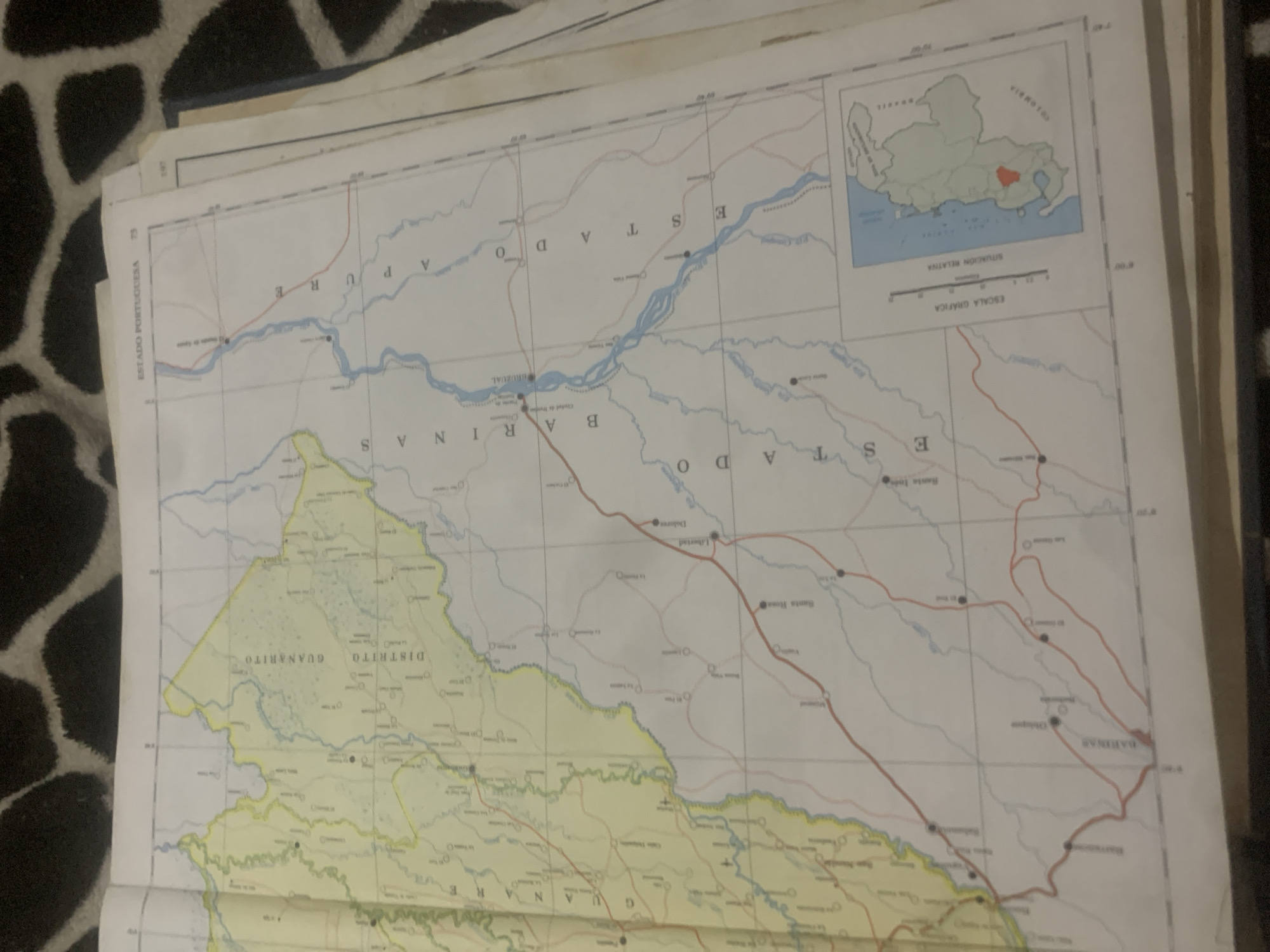
This media file is a photograph of an old, folded map. The map shows political boundaries and geographic features, likely of a region in Venezuela, as indicated by the text "ESTADO PORTUGUESA" and "DISTRITO GUANARITO." Several place names are visible, including "BARINAS," "APURE," and "LA TAGUA" (though this last one is not clearly legible and is inferred from the prompt). Rivers are depicted in blue, and roads are shown in red. A small inset map in the upper right corner shows the relative location of the depicted area within South America, with "BRASIL" and "COLOMBIA" labeled as neighboring countries. Text in Spanish is present throughout the map, including "ESTADO" (State), "DISTRITO" (District), and various town and river names. The map appears to be a geographical or administrative map, possibly from a government or educational source. The photograph is taken from a slightly high angle, and the map is resting on a patterned surface, possibly fabric. The lighting suggests it is indoors, and there are no people visible. The overall impression is one of an aged document being examined.
Loading AttnAds…
No transactions found





