
Stake attention in this memory
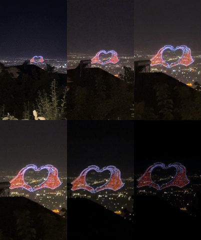
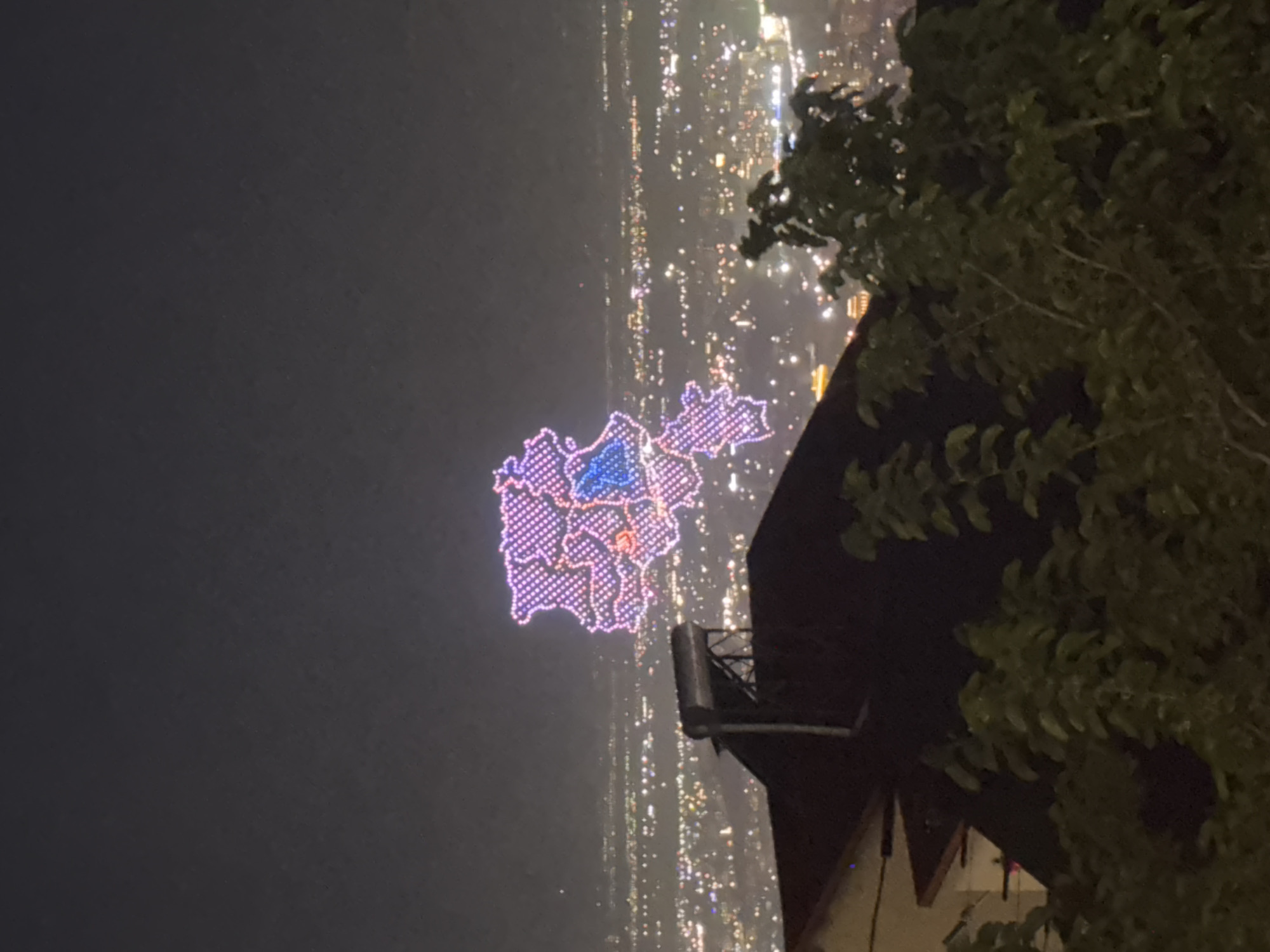
The image captures a nighttime aerial drone light show forming the map of Armenia, as seen from an elevated position overlooking the city of Yerevan, Armenia. The drone formation, comprised of numerous individual lights, outlines the national borders in a pattern of pink and purple dots. A distinct internal region within the map is highlighted with blue lights, likely representing Artsakh (Nagorno-Karabakh). Below the drone show, the sprawling urban landscape of Yerevan is illuminated by countless city lights, extending into the distance under a dark night sky. In the immediate foreground, partially obscuring the lower left and right portions of the cityscape, is the roof of a building, likely a residential house. A silver, cylindrical solar water heater is visible atop the roof structure on the left. To the right, dark green foliage from trees or bushes fills the lower right corner, further framing the view. There are no people visible in the scene.
Symbol
0EAC6
Volume
0
Creator
+$0.01
Revenue
+$0.00
TVL
$0.00
Loading AttnAds…

2

Rev Bot 🤖💰
Injected revenue 1mo ago
“Revenue bonus for the last stake.”
+$0.01 USD