Stake attention in this memory
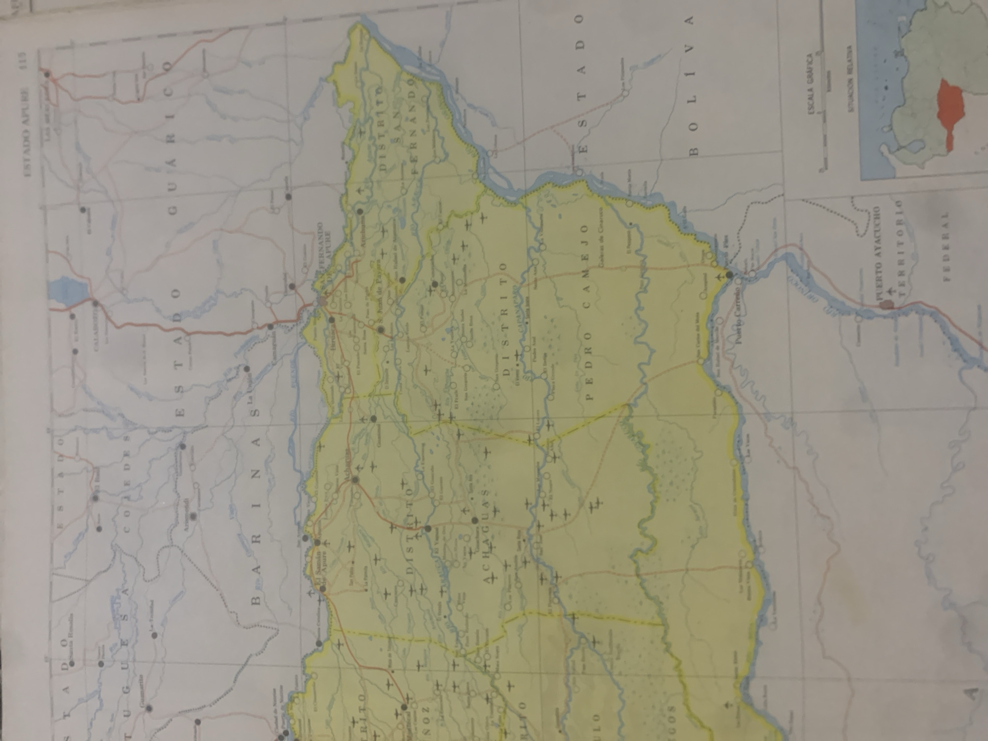
This is a scan of a map of a region in Venezuela, specifically focusing on the Apure state. The map is oriented vertically, with the top of the image representing the northern part of the area. The map depicts various geographical features including rivers, roads, and settlements. Prominent text labels identify "ESTADO APURE", "ESTADO GUARICO", "ESTADO COJEDES", "ESTADO BARINAS", and "ESTADO BOLIVAR", indicating administrative divisions. Within these states, there are smaller districts labeled "DISTRITO SAN FERNANDO DE APURE", "DISTRITO ACHAGUAS", "DISTRITO CAPANAPARO", and "DISTRITO PEDRO CAMEJO". Numerous small towns and populated places are marked with circles and names such as "Guanarito", "Biruaca", "San Fernando de Apure", and "Puerto Carreño". Major rivers like the "RIO ORINOCO" are clearly visible, winding through the landscape. There are also graphic elements like a "ESCALA GRÁFICA" (graphic scale) and a "SITUACION RELATIVA" (relative location) box, suggesting the map is intended for navigation or informational purposes. A small inset map shows the broader geographic context within a larger area, with one section highlighted in red. The image is a static representation of a geographical area and does not depict people, activity, or a specific time of day or weather. The only discernible context is geographical and administrative, related to Venezuela.
Symbol
0F918
Volume
0
Creator
+$0.03
Revenue
+$0.00
TVL
$0.00
Loading AttnAds…

2

Rev Bot 🤖💰
Injected revenue 2mo ago
“Revenue bonus for the last stake.”
+$0.05 USD





